The best gravel rides around Camporrobles
5.0
(5)
50
riders
3
rides
Gravel biking around Camporrobles offers diverse terrain at an altitude of 900 meters, characterized by a mix of cultivated fields and rugged mountains. The landscape features rolling hills, ravines, and valleys adorned with aromatic plants, oaks, pines, and junipers. Rocky outcrops and cliffs provide natural viewpoints, while areas like the "El Molón" Municipal Natural Area and the Contreras Reservoir contribute to the varied environment. This region provides an extensive network of trails suitable for gravel cycling, traversing agricultural mosaics, hills,…
Last updated: July 2, 2026
5.0
(2)
9
riders
67.0km
05:56
1,430m
1,430m
Hard gravel ride. Very good fitness required. Mostly paved surfaces. Suitable for all skill levels.
5.0
(2)
7
riders
37.8km
02:29
570m
580m
Hard gravel ride. Very good fitness required. Mostly paved surfaces. Suitable for all skill levels.

Sign up for free
5.0
(1)
4
riders
62.5km
04:52
1,000m
1,000m
Hard gravel ride. Very good fitness required. Mostly paved surfaces. Suitable for all skill levels.
1
riders
Hard gravel ride. Very good fitness required. Mostly paved surfaces. Suitable for all skill levels.
Our route recommendations are based on thousands of hikes, rides, and runs completed by other people on komoot.
Start today with a free account
Your next adventure awaits.
Login or Signup

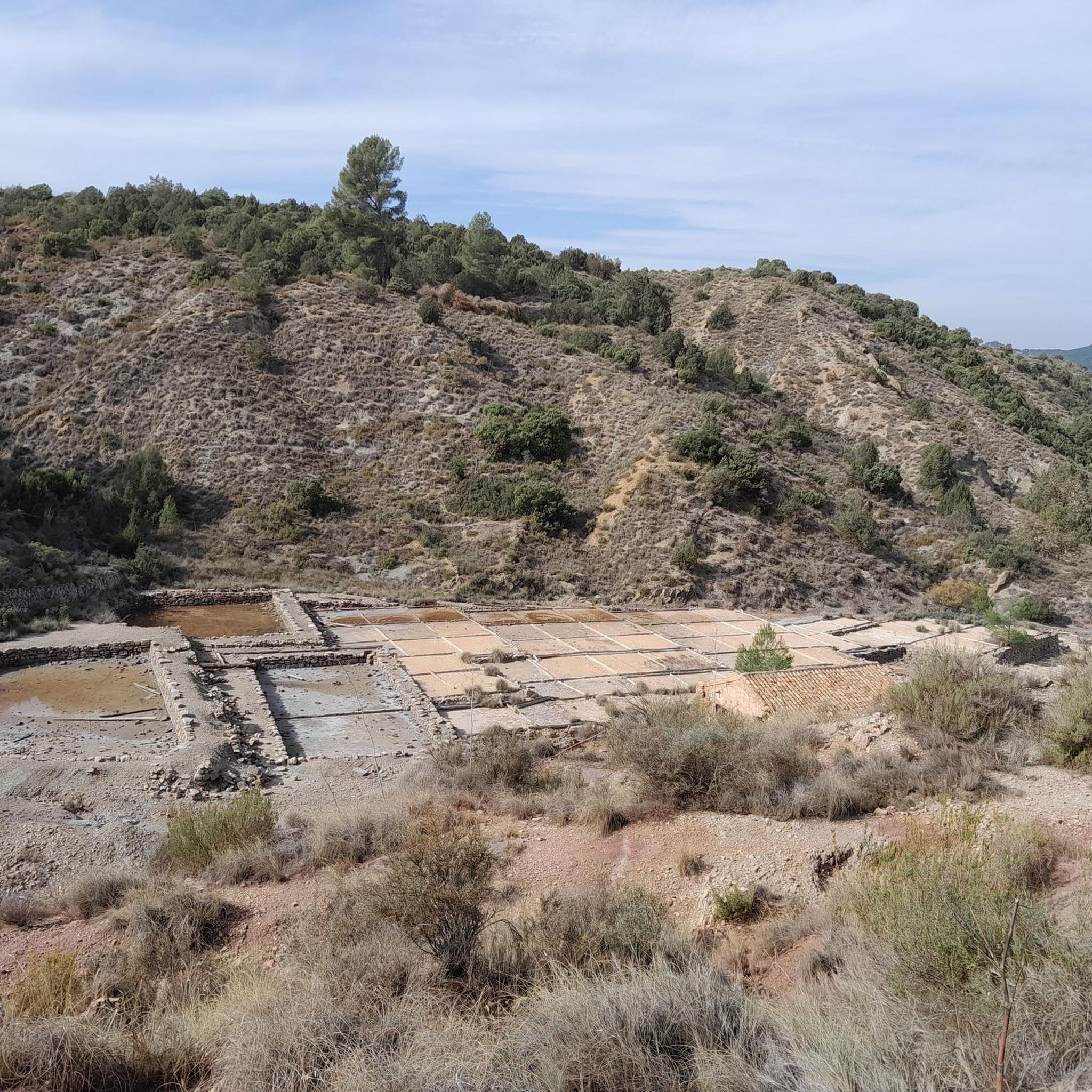
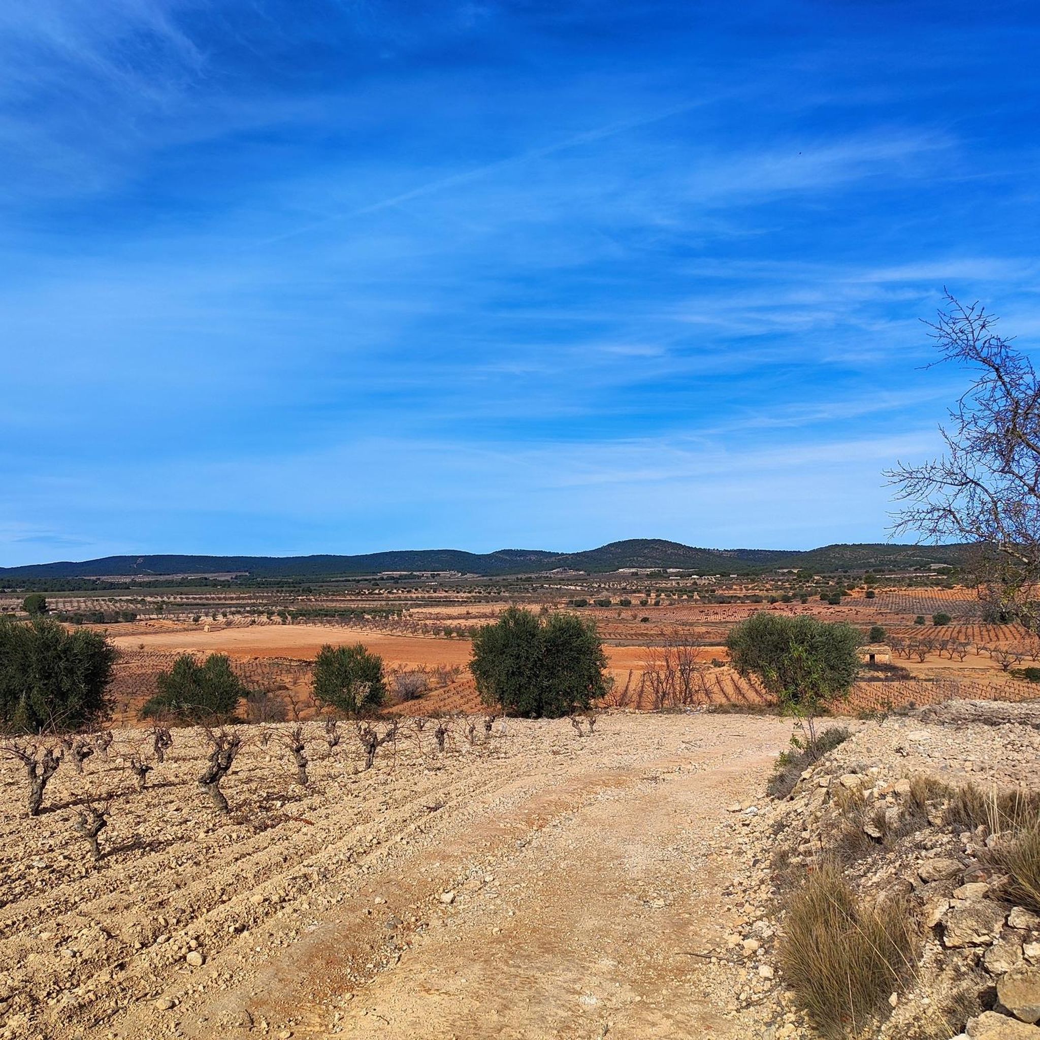
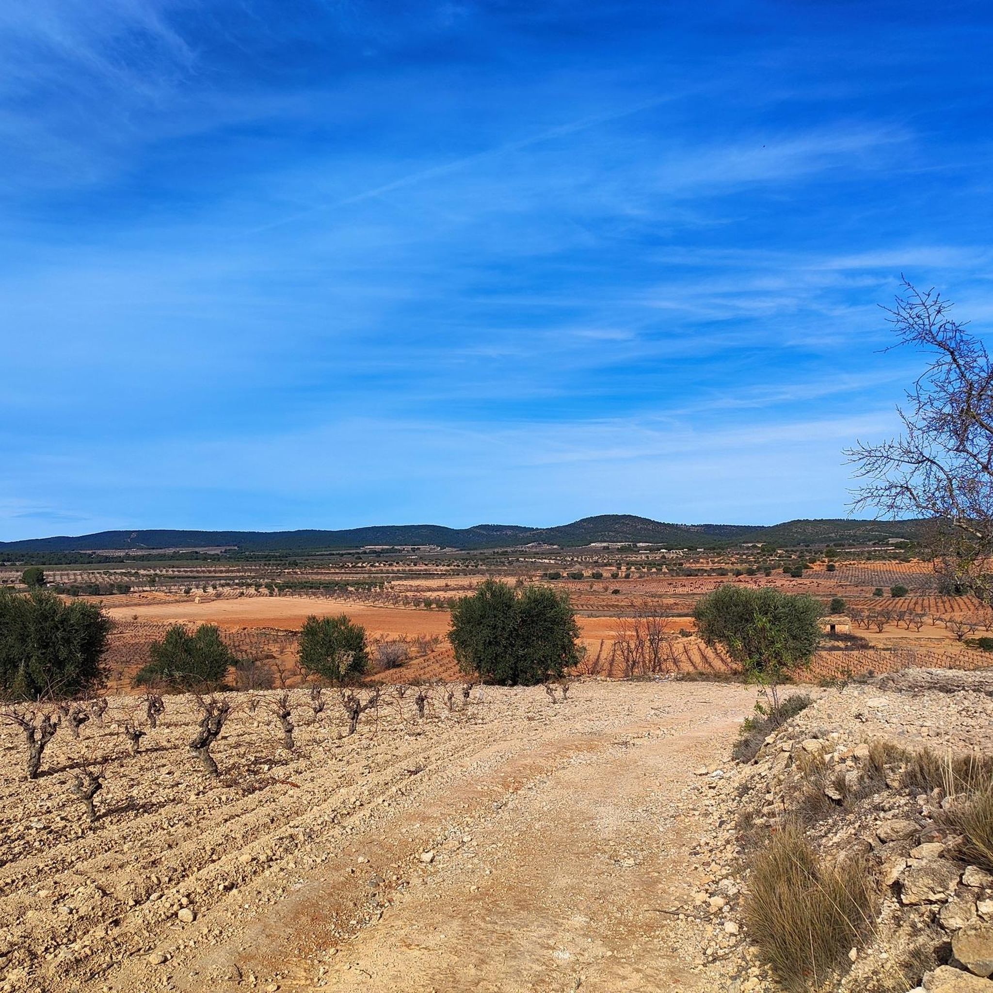
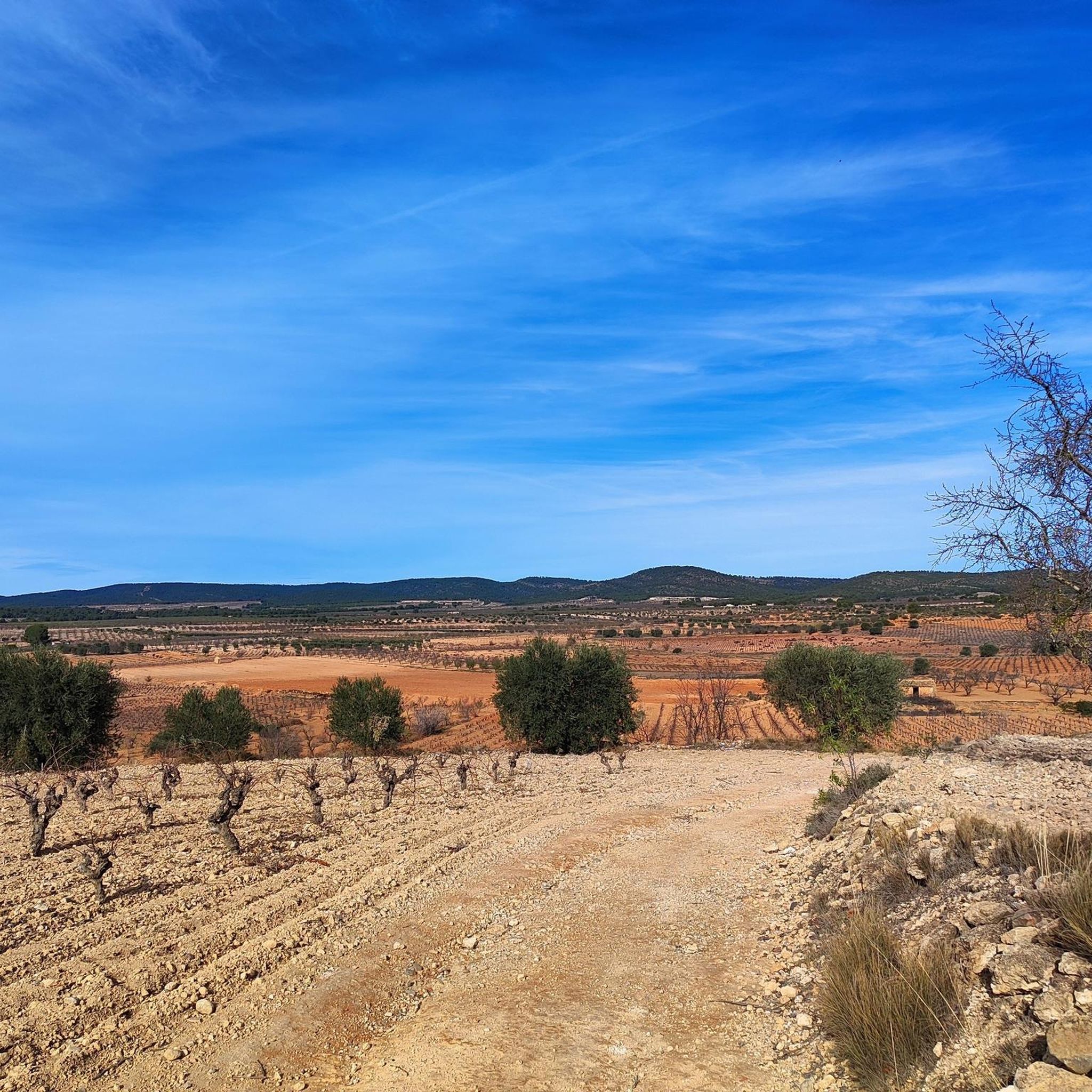
Other adventures around Camporrobles

Tips from the Community

The Contreras dam (Embalse de Contreras) is a 129-meter-high arch dam built in 1972. Located on the border of the provinces of Cuenca (Castilla-La Mancha) and Valencia, the dam spans the Cabriel and Guadazaón rivers. The reservoir serves mainly for water supply, flood protection, and irrigation.
11
1
7 bow bridge, so beautiful
11
0


The bridge is brand new and has been repaired since February 2026 👍
0
0

It is located in a quiet rural area surrounded by pine forests and Mediterranean scrubland, with trails and nature all around, and retains a typical atmosphere of the Valencian interior.
0
0

Hiking: Popular routes, such as the "Engineer's House" trail, offer viewpoints overlooking the reservoir and the Cabriel River gorges. Guided tours: Occasionally, the Hydrographic Confederation and the Villargordo Town Council organize tours and talks in the village of Contreras. Historic roads: The abandoned section of the old N-III highway and the Contreras Hills attract engineering enthusiasts, with their original 20th-century asphalt and signage.
9
0
Contreras Dam (Contreras Reservoir), located on the border between Cuenca and Valencia provinces. It lies between Villargordo del Cabriel (Valencia) and the Cuenca municipalities of La Pesquera, Mira, Enguídanos, and Minglanilla, spanning the Cabriel and Guadazaón rivers. Below the dam is the historic Contreras Bridge, built between 1845 and 1851 by Lucio del Valle, part of the old zigzag mountain pass.
10
0

Be careful, the footbridge as of October 3, 2025, is still not repaired (it was swept away by the Dana in October 2024). A ford crossing is possible a little higher up (towards the embalse), with water up to mid-thighs and a strong current, so be careful. Then to join the GR7, they climb the embankment (towards Benagéber). In the other direction (towards Chelva), I don't recommend crossing at this point because you have to descend from the GR7 via a steep and very unstable wall; I think it's dangerous going down. And be careful too, the GR7 is cut off higher up, but you can manage it by taking a long 5km detour via the path that climbs gently (or rather sharply) along the Turía River and rejoins the GR7 towards Chera. Then turn right and you can reach Benagéber.
2
0
Frequently Asked Questions
What kind of terrain and difficulty can I expect on gravel bike trails in Camporrobles?
Gravel biking around Camporrobles offers a diverse landscape, ranging from gentle cultivated fields, vineyards, and almond groves to rugged hills and mountains. The terrain includes dirt tracks, ravines, and small valleys. Most of the listed routes are considered difficult, featuring significant elevation changes. For example, the Chorros de Barchel Waterfalls – Views of the Benagéber Reservoir loop from Sinarcas covers 40.4 miles with over 1300 meters of elevation gain.
Are there any notable viewpoints or natural features to see along the gravel routes?
Yes, the Camporrobles area is rich in natural beauty and viewpoints. You can expect stunning views of the Cabriel River and its distinctive 'Cuchillos de Contreras' rock formations. The Contreras Viewpoint – Cabriel Valley Viewpoint loop from Cerro del Castillo specifically highlights these scenic spots. Other notable viewpoints include the Peña Azul Viewpoint and the Cabriel Valley Viewpoint, offering panoramic vistas of the surrounding valleys and natural parks.
Are there any circular gravel bike routes available in Camporrobles?
Many of the gravel bike routes in Camporrobles are designed as loops, allowing you to start and finish in the same location. Examples include the Sinarcas – La Olla Recreation Area loop from Sinarcas and the La Cornudilla loop from Caudete de las Fuentes. This design makes planning your ride more convenient.
What is the best time of year for gravel biking in Camporrobles?
Camporrobles, situated at 900 meters above sea level, experiences distinct seasons. Spring and autumn generally offer the most pleasant conditions for gravel biking, with milder temperatures and vibrant landscapes. Summers can be hot, while winters can be cold, though the region's diverse flora means the scenery changes beautifully throughout the year. Always check local weather forecasts before heading out.
Are there family-friendly gravel bike trails in Camporrobles?
The gravel bike trails listed for Camporrobles are primarily categorized as difficult, suggesting they may be challenging for younger children or beginner riders. These routes often involve significant elevation changes and longer distances. While the region offers an extensive network of tracks, families seeking easier options might need to explore shorter, less technical sections or local paths not specifically listed as full gravel routes.
What kind of wildlife might I encounter while gravel biking in Camporrobles?
The diverse landscapes around Camporrobles, especially in areas like the 'El Molón' Municipal Natural Area, are home to abundant wildlife. Cyclists might spot ocellated lizards, genets, badgers, weasels, Iberian hedgehogs, roe deer, and wild boars. It's also a fantastic area for birdwatching, with species such as the common linnet, golden eagle, kestrel, and peregrine falcon frequently observed.
Are there any historical or cultural sites accessible from the gravel routes?
Yes, Camporrobles has a rich historical and cultural heritage. The 'El Molón' Archaeological Park is an important site with ancient rock-carved cisterns and defensive systems. You can also find historical elements like the Peñas Blancas Path Trench and the Contreras Trench, remnants from the 19th-century War of Independence. The region is also part of the 'Camino de la Vera Cruz', a historical long-distance route.
Where can I find parking for gravel bike trails in Camporrobles?
Camporrobles, being a municipality focused on outdoor activities, generally offers accessible parking options within the village or near popular trailheads. For routes starting from nearby towns like Sinarcas or Caudete de las Fuentes, you would typically find parking within those settlements. It's advisable to check specific starting points for designated parking areas, though roadside parking is often available in rural settings.
Are there places to eat or stay near the gravel bike trails in Camporrobles?
Camporrobles and its surrounding villages offer local amenities including cafes, restaurants, and accommodation options. While specific establishments are not listed here, you can find places to refuel and rest in the main village of Camporrobles or in nearby towns like Sinarcas and Caudete de las Fuentes, which serve as starting points for several routes. These local spots provide an opportunity to experience regional cuisine and hospitality.
What do other gravel bikers enjoy most about gravel biking in Camporrobles?
The gravel biking experience in Camporrobles is highly rated by the komoot community, with an average score of 5.0 stars from over 4 reviews. Bikers often praise the region's diverse terrain, which combines cultivated fields with rugged hills and the dramatic Cabriel River Gorges. The extensive network of trails and the opportunity to explore natural areas like 'El Molón' and the Contreras Reservoir are frequently highlighted as key attractions.
Are there any routes that pass by significant water features or reservoirs?
Yes, several routes in the Camporrobles area feature impressive water bodies. The Chorros de Barchel Waterfalls – Views of the Benagéber Reservoir loop from Sinarcas is a prime example, offering views of the Benagéber Reservoir and the Chorros de Barchel Waterfalls. The Contreras Reservoir area is also a significant natural beauty spot, with routes like the 'Contreras Dam – Cabriel Valley Viewpoint loop' (mentioned in region research) providing scenic rides along its shores.
Can I combine gravel biking with exploring local agricultural landscapes?
Absolutely. The region around Camporrobles is known for its 'agricultural mosaic,' featuring extensive cereal fields, vineyards, and almond groves. Many gravel routes traverse these areas, offering a unique experience of the 'Tuscany of Valencia' with its rolling green hills and dirt tracks connecting farming areas. The Caricature murals of countries – Utiel railway station loop from Caudete de las Fuentes, for instance, provides a journey through these characteristic landscapes.
Most popular attractions around Camporrobles

Get inspired with the komoot mobile app


Explore more
Browse the best Gravel rides in other regions.
