The 3 Most Amazing Peaks around Stord
Best mountain peaks around Stord are found on this island in the Sunnhordland region of Norway. The area offers a variety of rewarding mountain peaks for hikers, featuring an extensive network of trails. These routes are suitable for various skill levels, from beginners to experienced hikers. Stord is known for its diverse natural beauty and outdoor activities.
Best mountain peaks around Stord
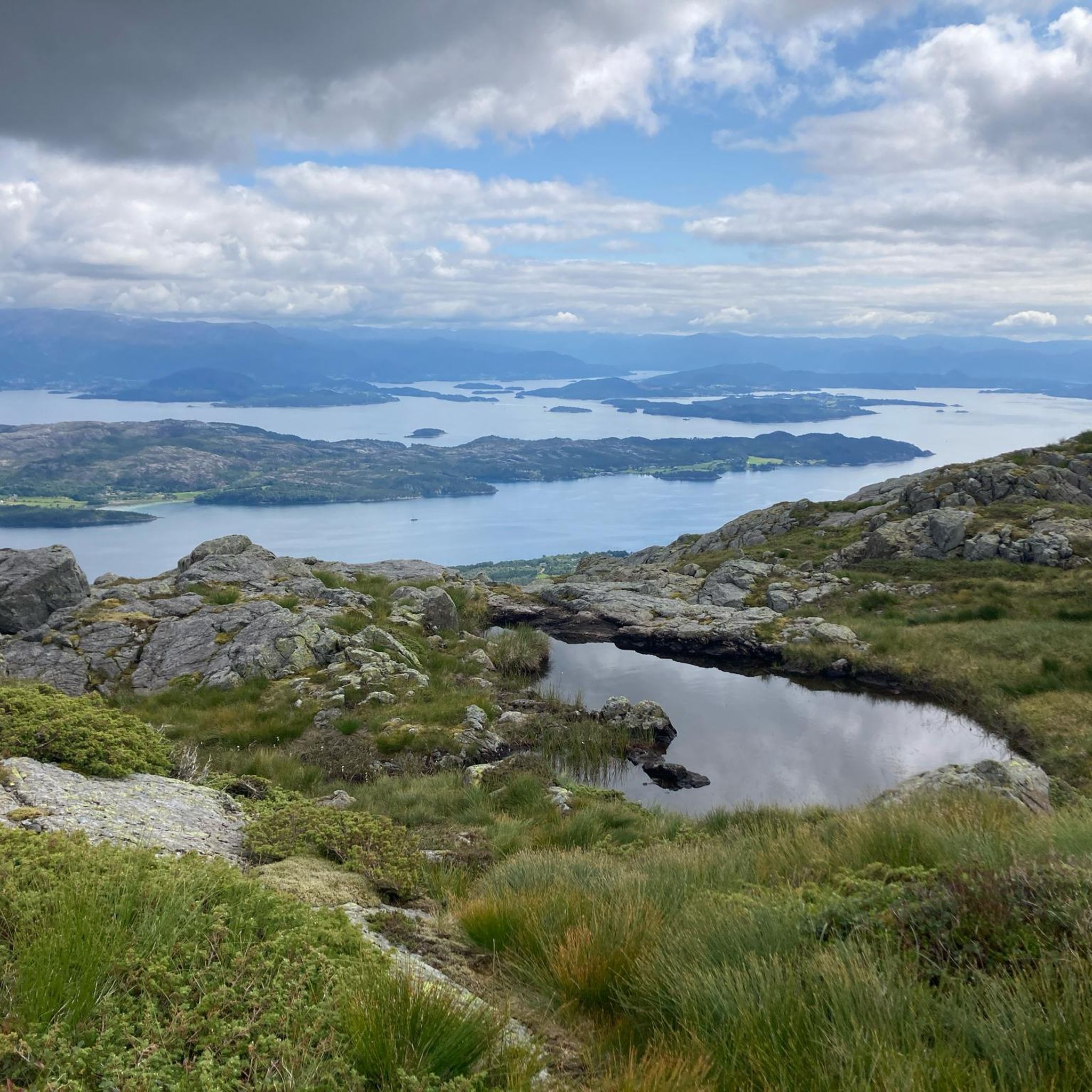
- The most popular mountain peaks is View from Siggjo, a viewpoint that offers a beautiful all-round view.…
Last updated: October 16, 2026
View from Siggjo
Highlight • Viewpoint
Translated by Google •
Tip by

Trollåvasnipen
Highlight • Summit
Translated by Google •
Tip by

Sign up now to discover places like this
Get recommendations on the best single tracks, peaks, & plenty of other exciting outdoor places.
Bremstølen
Highlight • Natural
Tip by

Nordfjellet
Highlight • Summit
Tip by

Kaldestadåsen
Highlight • Summit
Tip by

Start today with a free account
Your next adventure awaits.
Other adventures around Stord

Tips from the Community

Following the paths through the beautiful, ancient pine forest with rich birdlife, you'll reach Kaldestadåsen. At the summit, you'll enjoy fantastic panoramic views over the Hardangerfjord, the Sunnhordland basin, and the surrounding Husnes Mountains.
0
0

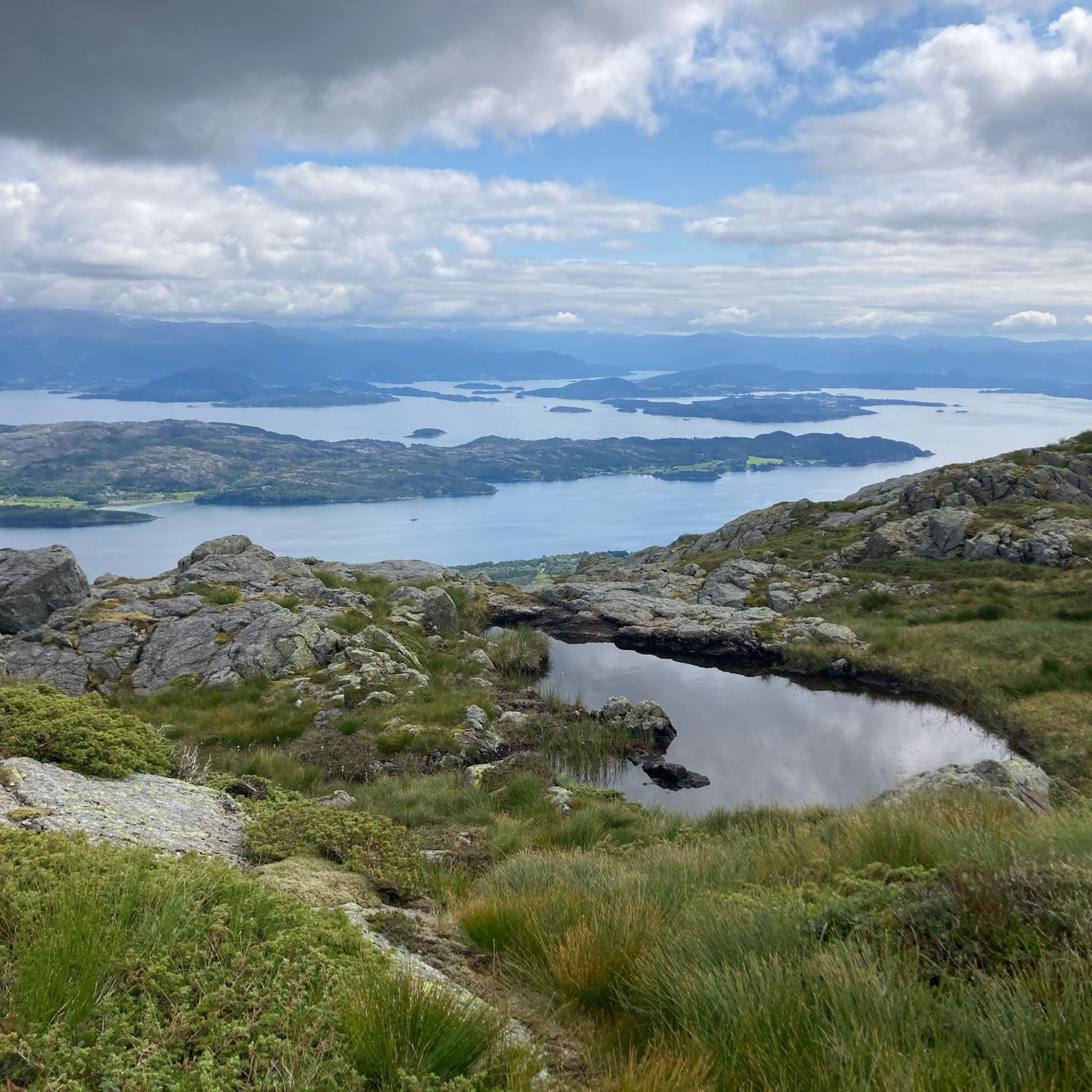
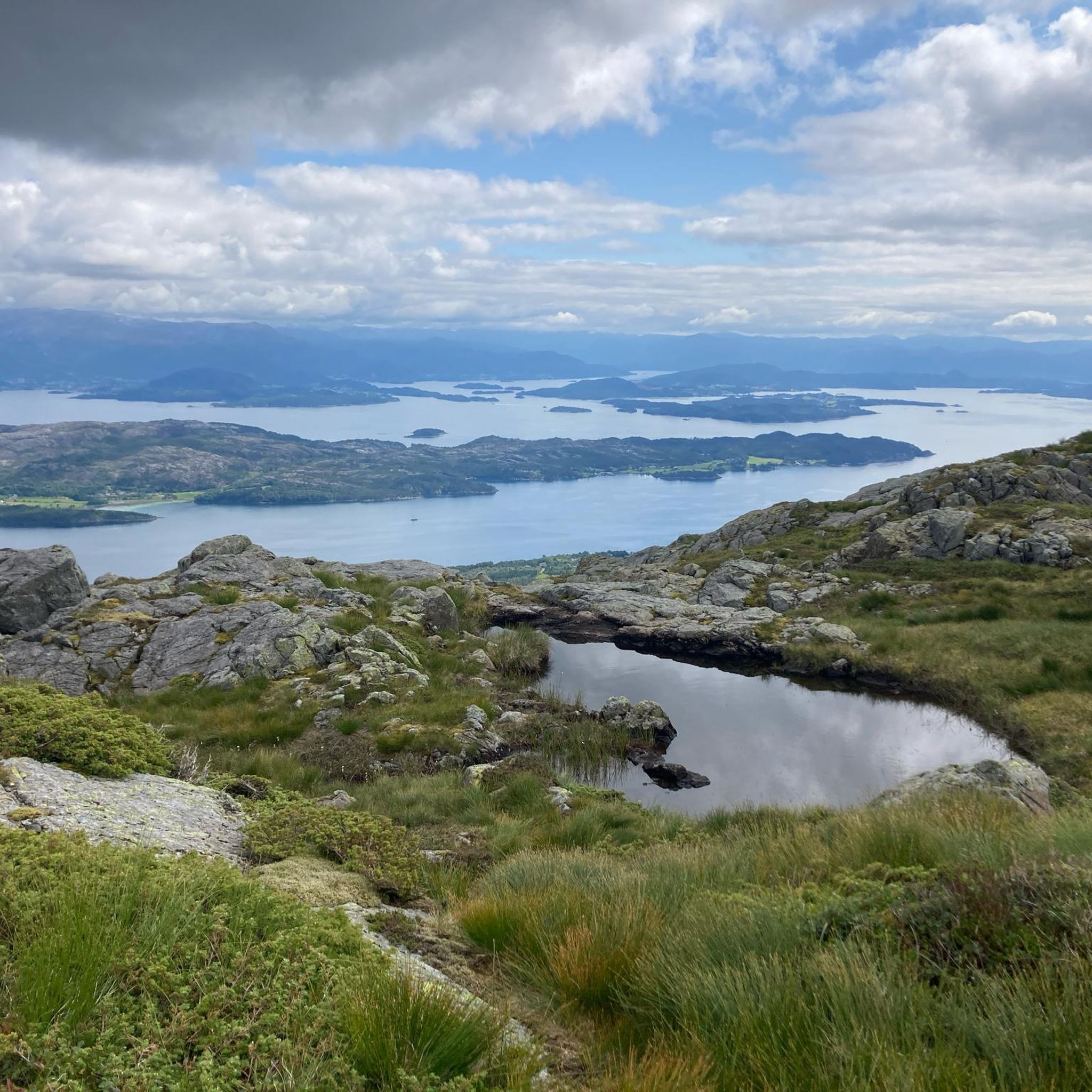
Bremstølen is a former mountain farmstead above Husnes and a popular hiking destination offering panoramic views of Lake Opsangervatnet, the Hardangerfjord and the islands of Halsnøy, Tysnes and Stord.
1
0

Almost the entire way up is via stairs, I found it very strenuous, but if you have reasonable fitness and some time, it's easily doable. The view is outstanding. The effort/view ratio is very good. I went down the other side and the path was very steep, without stairs, but also doable. You shouldn't underestimate the trail further south around the lake Finnåsvatnet, it goes up and down a lot. Also doable, but especially after the ascent and descent from Siggjo, it really challenged me.
0
0

Nordfjellet rises more than 550 metres above sea level. From here, you can admire the sea to the south. It also opens the way to wilder and higher mountain trails to the north.
0
0
The path was only (extended or) rebuilt a few years ago. Most of the path is over stone steps of varying heights. If you have knee problems, this path becomes torture. Apparently, it's a popular Sunday outing for Norwegians: a quick run up and down. For me, the path had nothing to do with hiking. It was simply climbing stairs.
0
0

Rocks are easy to walk on, poles recommended. The view is magnificent.
0
0


It was a pleasant hike (slow pace, almost 2 hours) The path is always clearly visible. In the upper third you have to take your hands out of your pants pockets - especially when going down - because the stones can be slippery when it rains. Hiking shoes recommended! Beautiful all-round view!
2
0
Frequently Asked Questions
What are some of the most popular mountain peaks to hike in Stord?
Stord offers several rewarding mountain peaks. Mehammarsåta is the highest point on the island, providing panoramic views of Sunnhordland. Other popular choices include Stovegolvet, known for its stunning vistas, and Trollåvasnipen, which also boasts fantastic panoramic views.
What kind of views can I expect from Stord's mountain peaks?
From Stord's mountain peaks, you can expect breathtaking panoramic views. For instance, Mehammarsåta offers expansive views of Sunnhordland's fjord landscapes. From Kattnakken, you can see Huglo, Tysnes, the Kvinnherad mountains, Halsnøy, Borgundøy, and even the Folgefonna glacier on clear days. Trollåvasnipen and Stovegolvet are also celebrated for their stunning vistas of the fjords and islands.
Are there challenging mountain hikes in Stord?
Yes, Stord has challenging hikes. The route to View from Siggjo is considered very difficult and requires a high level of fitness, with barely marked trails in some sections. Mehammarsåta, while having a clear trail, is a significant climb to its 749-meter summit.
Are there easy or family-friendly mountain walks in Stord?
For easier walks, the Hiking around Stord guide includes routes like Hystadmarkjo, which is an easy 4.8 km trail. While specific mountain peaks might be more challenging, there are generally trails suitable for various skill levels on the island.
What is the best time of year to hike the mountain peaks in Stord?
The best time to hike in Stord is typically during the warmer months, from late spring to early autumn (May to September), when the weather is milder and trails are generally clear of snow. Always check local weather conditions before heading out, as mountain weather can change rapidly.
What unique natural features can I find on Stord's mountain trails?
Stord's mountains offer diverse natural features. Kattnakken is notable for its Sherpa stairs, which aid in the ascent. The trail to Klovfjellet is part of the North Sea Trail and leads through forests and past old farms. On Trollåvasnipen, you might encounter marshy terrain, especially on the east side after rain, making the west side a recommended approach.
What outdoor activities can I do near Stord's mountain peaks?
Beyond hiking the peaks, Stord offers a range of outdoor activities. You can explore various cycling routes, including touring bicycle options like the 'Waterfall with Wooden Bridge – View of the lake loop from Leirvik' found in the Cycling around Stord guide, or road cycling routes such as 'Small Waterfalls – Brattaberget loop from Skato' in the Road Cycling Routes around Stord guide. There are also numerous other hiking trails, like the 'Ådlandsvatnet Loop Trail' in the Hiking around Stord guide.
Are there any specific tips for hiking <a href="https://www.komoot.com/highlight/538798" target="_blank" rel="noopener">Trollåvasnipen</a>?
Yes, for Trollåvasnipen, it is highly recommended to approach the mountain from the west side, especially after rain. The path on the east side can be very muddy, swampy, and poorly marked. Hikers also suggest that poles can be helpful, though the rocks are generally easy to walk on.
What do visitors enjoy most about hiking in Stord?
Visitors frequently praise the magnificent panoramic views from the summits, such as those from Trollåvasnipen and Siggjo. The diverse trails, ranging from clear paths to more challenging, unmarked sections, and the natural beauty of the fjord landscapes are also highly appreciated.
Is parking available at the trailheads for Stord's mountain peaks?
While specific parking details for every trailhead are not provided, Stord generally offers access points for hikers. It is advisable to research specific trailheads before your visit to confirm parking availability and any potential fees.
Can I reach Stord's mountain peaks using public transport?
Access to some trailheads might be possible via local bus services, particularly those closer to towns like Leirvik. However, for more remote mountain peaks, public transport options may be limited, and a car might be necessary to reach the starting points. Always check local public transport schedules and routes in advance.
Most popular routes around Stord
Most popular attractions around Stord

Get inspired with the komoot mobile app


Explore more
See even more amazing summits around Stord with these guides:
