The best gravel rides around Entraunes
5.0
(1)
18
riders
3
rides
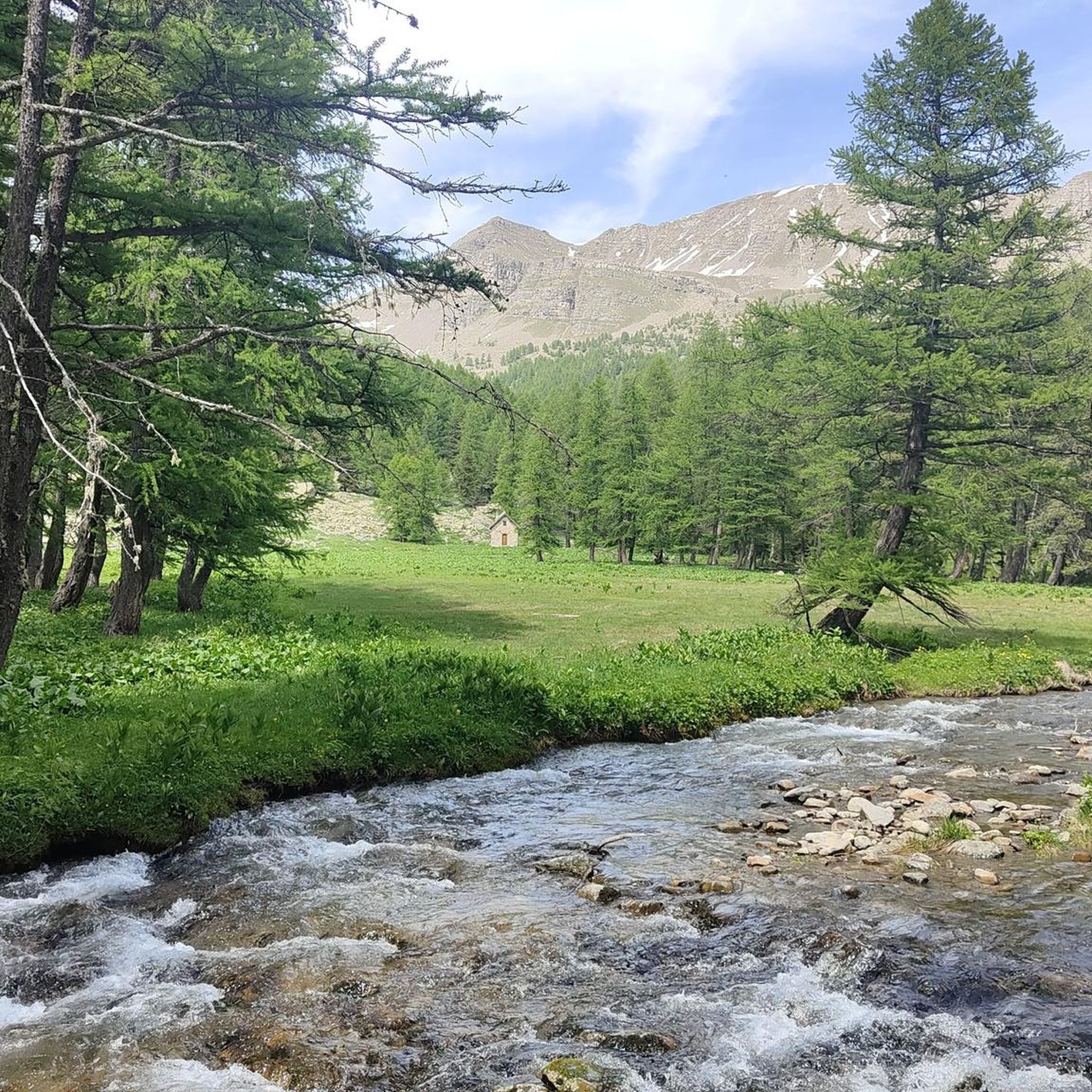
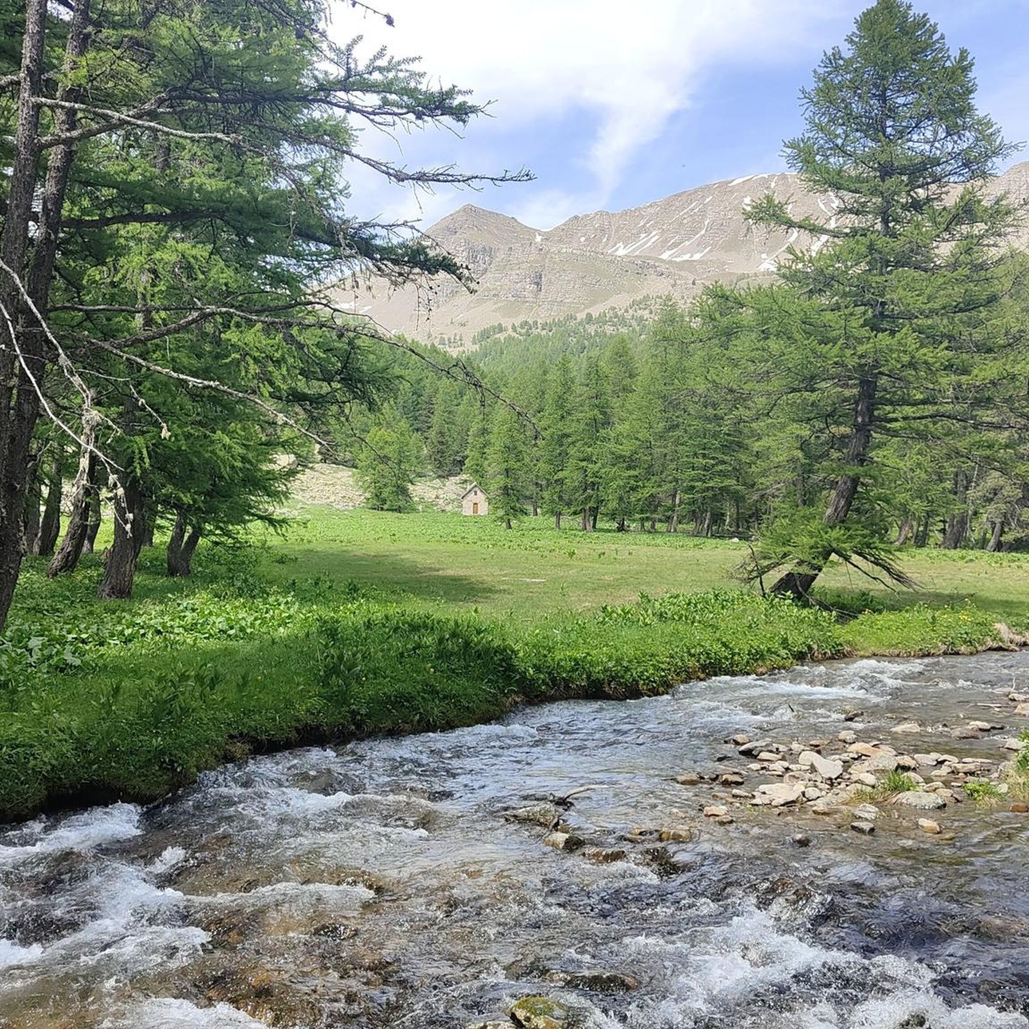
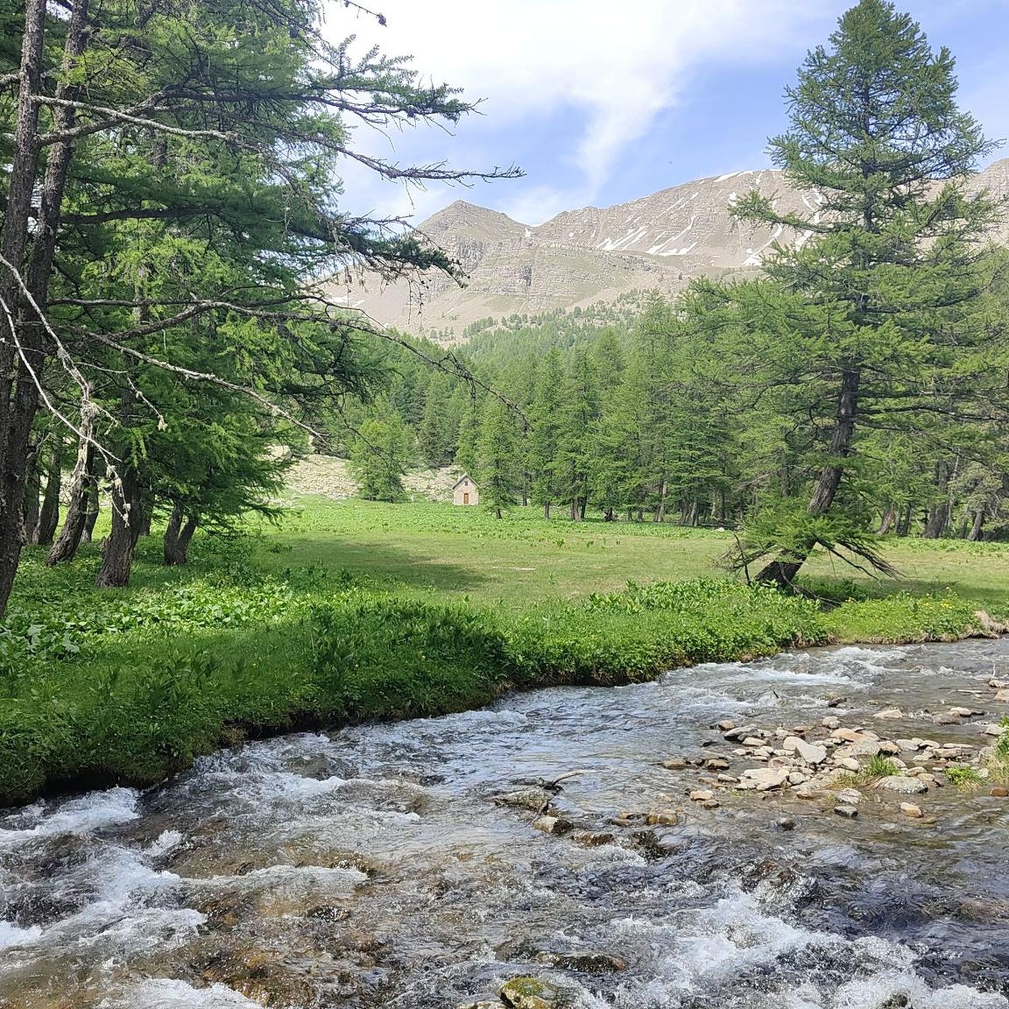
Gravel biking around Entraunes offers a diverse natural landscape within the Alpes-Maritimes department and Mercantour National Park. The region features superb mountainous terrain with significant elevation changes, ideal for challenging climbs. Riders will encounter diverse water features, including icy torrents and high-altitude lakes, alongside alpine meadows and extensive larch forests. This environment provides varied surfaces, from unpaved paths to rocky trails, suitable for adventurous gravel cycling.
Best gravel bike trails around Entraunes
- The most popular gravel bike trail is The…
Last updated: August 24, 2026
9
riders
26.8km
02:40
1,000m
1,000m
Hard gravel ride. Very good fitness required. Mostly paved surfaces. Suitable for all skill levels.
2
riders
27.5km
03:03
960m
960m
Hard gravel ride. Very good fitness required. Mostly paved surfaces. Suitable for all skill levels.

Sign up for free
1
riders
44.3km
04:11
1,520m
1,520m
Hard gravel ride. Very good fitness required. Mostly paved surfaces. Suitable for all skill levels.
5.0
(1)
3
riders
118km
09:38
3,510m
3,510m
Hard gravel ride. Very good fitness required. Mostly paved surfaces. Suitable for all skill levels.
3
riders
88.2km
06:42
2,700m
2,700m
Hard gravel ride. Very good fitness required. Mostly paved surfaces. Suitable for all skill levels.
Our route recommendations are based on thousands of hikes, rides, and runs completed by other people on komoot.
Start today with a free account
Your next adventure awaits.
Login or Signup

Tips from the Community

Quiet road the D29. Nice climb.
0
0

I rode up to the Col de Moutiere from Saint Etienne via Saint Dalmas, and then took the 3km of gravel road link to the Col de la Bonette. I returned to Saint Etienne via the more classic D64. It makes for a much quieter, wilder and steeper ascent, with a better (but busier) road surface and more gradual decline for the D64 descent. Also this way it's a loop and you see more of the incredible scenery. The 3km gravel section is very doable with my moutain bike (i would rate it as a 'blue'). I didnt need to carry or push the bike even though some parts were boken up by small water crossings. I was overtaken by a motorbike at one point. Be careful of the weather here, especially the potentially violent afternoon thunderstorms. There is no shelter nearby
0
0

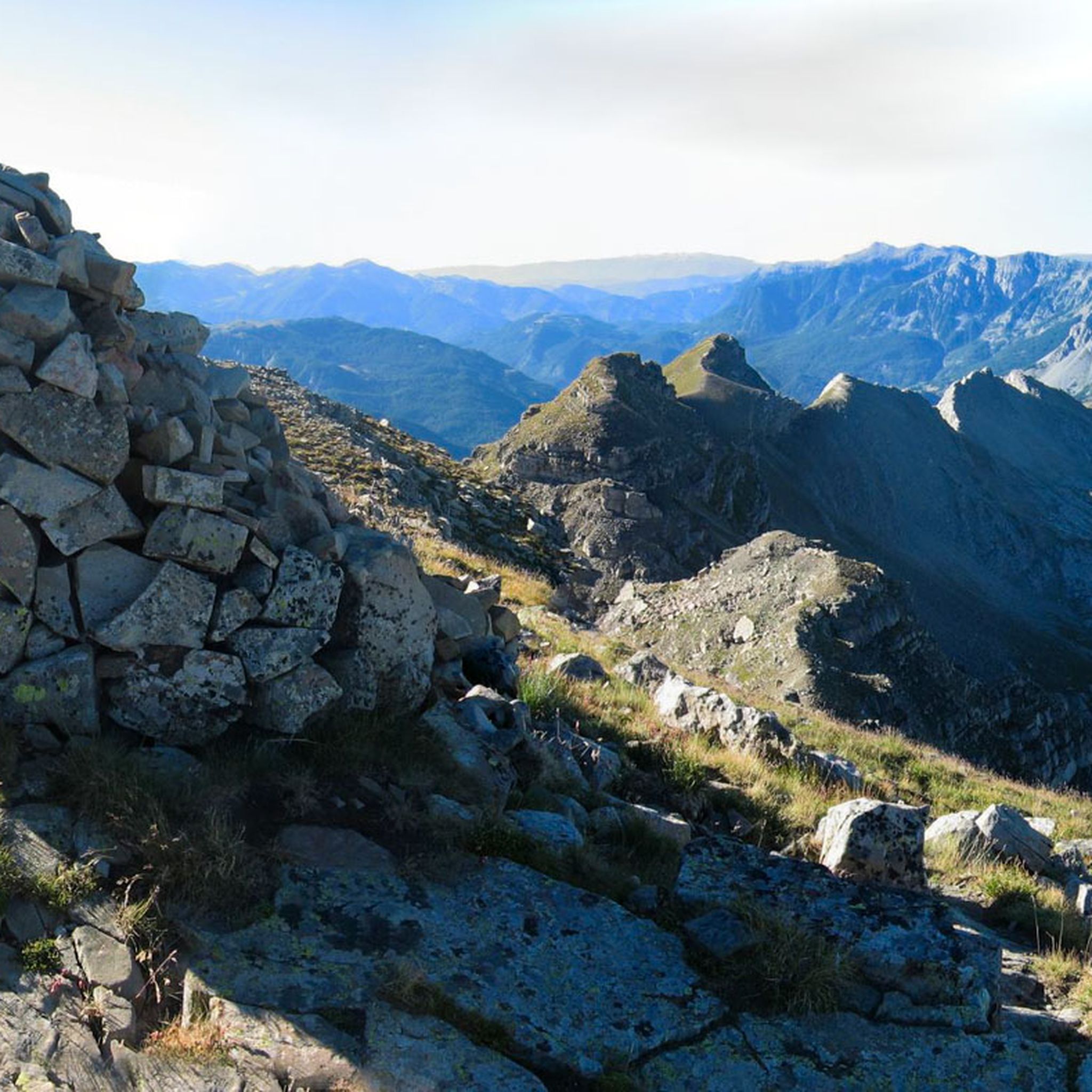
A splendid isolated pass accessible from Saint-Dalmas-le-Selvage, it allows an off-road ascent of the Bonette, passing through the sublime valleys of Sestrière and Sagnas to the pass itself, then via a beautiful gravel track under the north side of the Cime de la Bonette which joins the departmental road towards Jausiers, about two kilometers below the summit.
0
0
If there were a ranking of the most beautiful, undiscovered Alpine passes in the cycling world, the Moutière would certainly be a contender. Starting from Saint-Dalmas-le-Selvage, the climb through the valleys of Sestrière and Sagnas is simply sublime.
1
0
One of the most beautiful ways to reach the Bonette Pass from Saint Delmas le Selvage via the Col de la Moutière. Wild and isolated, the surroundings are breathtaking. However, be prepared for a long and difficult climb.
0
0

Very nice house with good food, which can also be reached by car via the D908 (except in winter).
1
0

The Col de Sainte-Anne is a pass at an altitude of 425 meters in the French department of Bouches-du-Rhône.
0
1
The Col de la Couillole is a mountain pass in the Massif du Mercantour-Argentera of the French Alps, situated at an altitude of 1,678 m (5,505 ft) in the Alpes-Maritimes department, France. The road connection is open for six to seven months of the year, allowing travel between the Cians gorges in the west and the Tinée valley in the east.
0
0
Frequently Asked Questions
What kind of terrain can I expect on gravel bike trails around Entraunes?
The Entraunes region, nestled within the Mercantour National Park, offers a diverse and challenging landscape for gravel biking. You'll encounter superb mountainous terrain with significant elevation changes, ideal for adventurous climbs. The routes often feature varied surfaces, from unpaved paths and rocky trails to singletracks, winding through alpine meadows, extensive larch forests, and alongside icy torrents and high-altitude lakes.
Are there any challenging gravel bike routes in the Entraunes area?
Yes, Entraunes is known for its challenging gravel biking experiences. Routes often feature substantial elevation gains and technical sections. For example, the Saint-Étienne-de-Tinée – The Demandols cow sheds loop from Saint-Étienne-de-Tinée is a difficult 44.3 km (27.5 miles) trail with over 1,500 meters of elevation gain, taking around 5 hours to complete.
Can I find circular gravel bike routes around Entraunes?
Yes, several routes in the area are designed as loops, allowing you to start and finish in the same location. The The Demandols cow sheds – Estive Lake loop from Saint-Étienne-de-Tinée is a popular 26.9 km (16.7 miles) circular route that traverses challenging mountain paths.
What are some scenic highlights or natural monuments I can see while gravel biking in Entraunes?
The region is rich in natural beauty. You can ride towards the stunning Cayolle Pass, known for its spectacular views, or explore areas with diverse water features like icy torrents and high-altitude lakes. The Lance Waterfall is another beautiful natural monument worth seeking out.
What is the best time of year for gravel biking in Entraunes?
The summer months are generally ideal for gravel biking in Entraunes. During this time, the alpine meadows are vibrant with flowers, and the weather is conducive to exploring the mountainous terrain. The higher passes, like Col de la Cayolle, are typically clear of snow, offering full access to the region's extensive network of trails.
Are there any specific rules or permits required for gravel biking in Mercantour National Park?
As Entraunes is located within the protected Mercantour National Park, it's important to respect park regulations. While gravel biking is generally permitted on designated trails, it's always advisable to check the official Mercantour National Park website for any specific rules regarding cycling, especially concerning protected areas, wildlife, and potential permits for certain zones or activities.
Are there any routes that feature lakes or significant water bodies?
Yes, the region is characterized by diverse water features. The Estive Lake – Pose coffee loop from Auron is a difficult 16.2 km (10.0 miles) path that winds through scenic landscapes with diverse water features, including high-altitude lakes.
What kind of wildlife might I encounter while gravel biking in Entraunes?
Being in the heart of Mercantour National Park, you have a good chance of spotting various wildlife. Keep an eye out for chamois deer, ibexes, royal eagles, and marmots in their natural habitat, especially in quieter, less frequented areas of the park.
Are there any routes that offer views of mountain peaks or passes?
Absolutely. The mountainous terrain around Entraunes provides numerous opportunities for breathtaking views. Routes often lead towards or offer vistas of significant peaks and passes, such as the Bonette Summit or the Cayolle Pass, which is part of the prestigious Route des Grandes Alpes.
What do other gravel bikers enjoy most about the Entraunes region?
Gravel bikers frequently praise the stunning and varied natural landscape of Entraunes. The blend of challenging mountainous terrain, diverse water features, and the pristine environment of Mercantour National Park offers an adventurous and immersive experience. Many appreciate the opportunity to break away from paved roads and explore rugged, unpaved paths amidst breathtaking scenery.
Can I find routes that pass through larch forests?
Yes, the Entraunes area features abundant larch trees. The Saint-Étienne-de-Tinée – The Demandols cow sheds loop from Saint-Étienne-de-Tinée, for instance, leads through mountainous terrain and extensive larch forests, offering shaded paths and a distinct alpine forest experience.
Are there any historical sites or landmarks along the gravel trails?
While the focus is on natural beauty, some routes may pass near historical points. For example, the Camp des Fourches military camp is a notable historical site in the broader region that could be incorporated into longer rides or visited separately.
Most popular attractions around Entraunes

Get inspired with the komoot mobile app


Explore more
Browse the best Gravel rides in other regions.
