Top 5 Natural Monuments in Sarine District
Best natural monuments in Sarine District are characterized by a rich natural landscape, featuring verdant hills, dense forests, and pre-Alpine peaks. The Sarine River, also known as Saane, is a defining natural feature, carving dramatic gorges with impressive Molasse cliffs up to 100 meters high. These geological formations reveal sedimentary structures from an ancient sea, offering insights into the region's natural history. The district provides numerous opportunities for outdoor activities and appreciating Switzerland's natural beauty.
Best natural monuments in Sarine…
Last updated: June 25, 2026
Sandstone Cliffs on the Sarine River
Highlight • Natural Monument
Translated by Google •
Tip by

Ginkgo tree near the Abbaye de la Maigrauge
Highlight • Natural Monument
Translated by Google •
Tip by
Sign up now to discover places like this
Get recommendations on the best single tracks, peaks, & plenty of other exciting outdoor places.
Sign up for free
Pierrafortscha Erratic Block
Highlight • Natural Monument
Translated by Google •
Tip by

Marian Grotto of Corsalettes
Highlight • Religious Site
Translated by Google •
Tip by

Sarine Canyon
Highlight • Canyon
Translated by Google •
Tip by

View of Lac de Pérolles and the Saane Gorge
Highlight (Segment) • Viewpoint
Translated by Google •
Tip by

Start today with a free account
Your next adventure awaits.
Login or Signup
Popular around Sarine District
Freiburg Pre-Alpine Trail – Hiking along the language border
Alpine Panorama Route — 8 stages through the foothills of the Alps

Via Jacobi – Following the Way of St James across Switzerland

Every cycling trip is a little holiday – bike to work Challenge 2026
Your summer hikes in the Fribourg Region
Discover water’s brilliant diversity – hiking in the canton of Fribourg
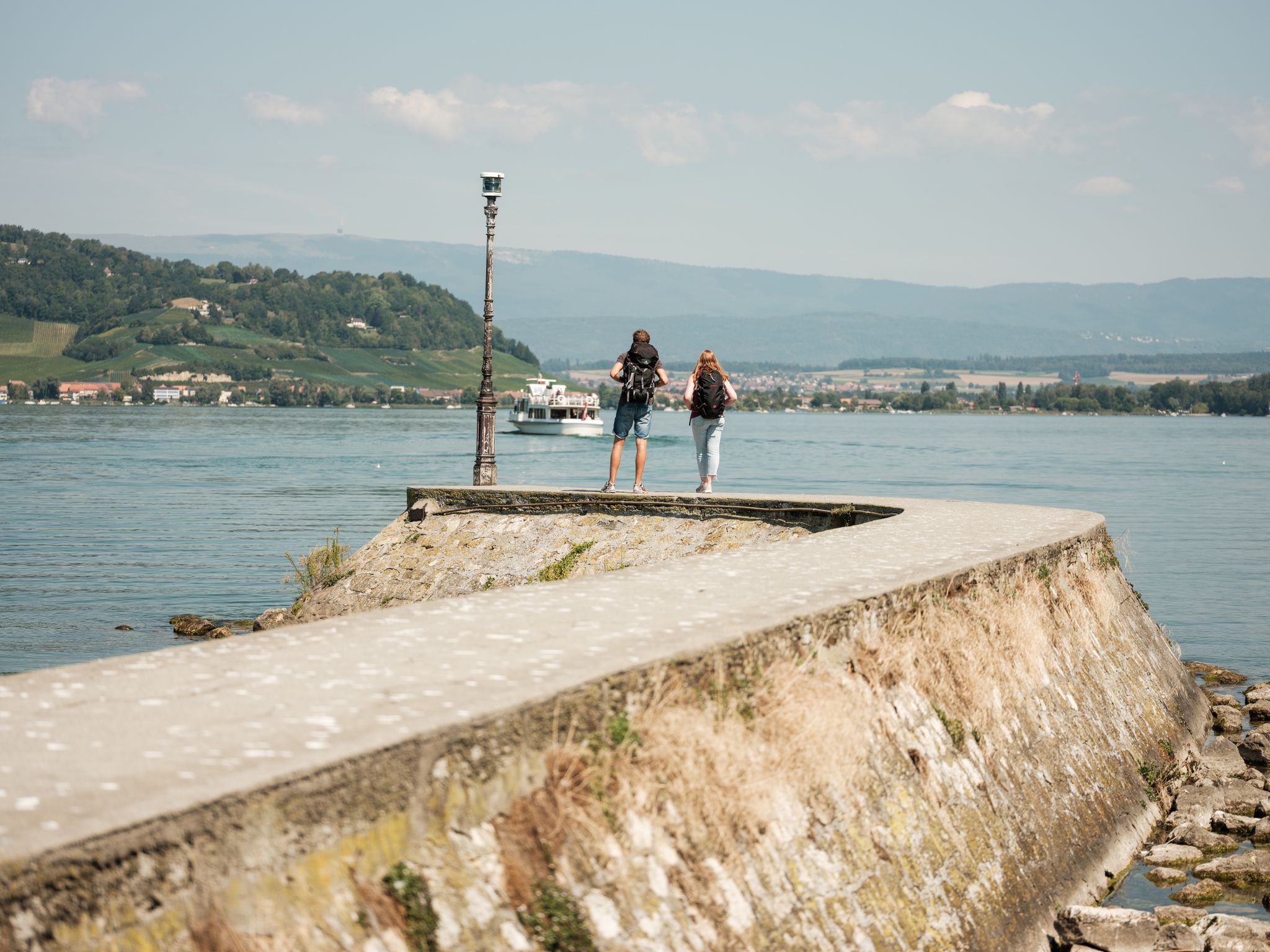
"Fribourg en diagonale" - Once across the Canton Fribourg
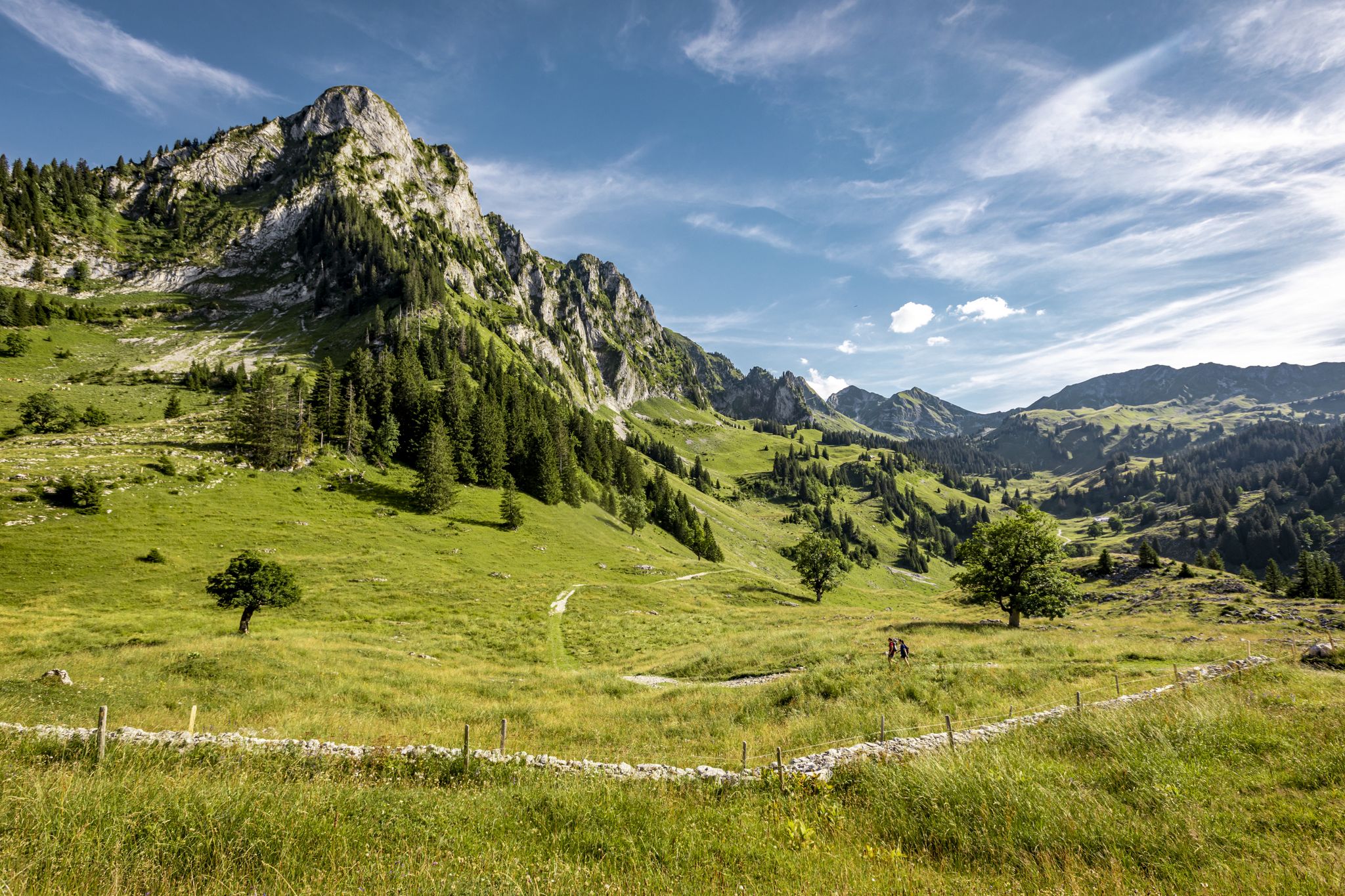
Over Stock and Stone - Freiburg Pre-Alps Trail
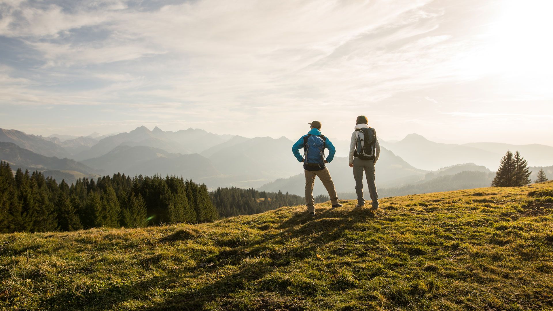
Top hikes - Summer hiking in the canton of Fribourg

Schlemmen und Radeln – Grand Gourmet Rides durch die Schweiz
Other adventures in Sarine District


Tips from the Community

In autumn, when the leaves change color, one tree stands out from all the others. It stands slightly above the Abbaye de la Maigrauge and shines like a beacon in the night. It's a ginkgo tree. Ginkgo trees have lived on Earth since before the dinosaurs. The seeds of the ginkgo tree can be used in cosmetics and medicines. By the way, did you know? In Hiroshima, a ginkgo tree stood about 800 meters from where the atomic bomb exploded. The following spring, a fresh, shy shoot grew from the old rootstock. Incredible, isn't it?
0
0

A nice, quiet spot to take a break. There's a bench to sit on. The trees provide good shade in the summer.
0
0

Granite block from Mont Blanc. Transported by the Rhône Glacier during the last glaciation. (Wikipedia)
0
0

At the south-west exit of the tunnel, an exciting path runs above the dammed Saane (or Lake Pèrolles) with beautiful views of the river/lake - embedded in a gorge-like valley with meadows, reeds, forests, mountain slopes and rock faces. When looking down from the upper part to the northeast, the "Magere Au" dam appears to the right (east) of the rock faces on the left (west) side, damming the river here to form a lake.
1
0

Between the Gruyère and Schiffenen lakes, the Sarine has the morphological characteristics of a canyon. Here you can observe the impressive Molasse cliffs that line the river. You also have a beautiful view of the Naigles footbridge and the Poya bridge.
0
0
very nice quiet place, nothing better to enjoy the view
0
0
Within sight of the Abbaye, in a hollow of the knee, is the Saane, this natural rock formation. Once upon a time, powerful underwater currents continuously eroded the rocks to the crag over eons of years. If you want to look up from the river bed to the edge of the cliff with its treetops, you have to tilt your head all the way back. The washed-out sandstone spirals into the sky in a breathtaking way and leaves the viewer standing there quite small and with their mouth open. The term "divine" takes on a new meaning here in the face of the abbey. A real natural highlight!!!
0
0

a contemplative and somewhat mystical place on the Ruisseau de Corsalettes
1
0
Frequently Asked Questions
What are the defining geological features of the natural monuments in Sarine District?
The Sarine District is characterized by impressive Molasse cliffs, particularly along the Sarine River, which can rise up to 100 meters high. These cliffs showcase sedimentary structures dating back 20 to 16 million years, revealing the history of an ancient sea. The Pierrafortscha Erratic Block is another notable geological feature, a granite block transported by the Rhône Glacier during the last glaciation.
Are there family-friendly natural monuments to visit in Sarine District?
Yes, the Pierrafortscha Erratic Block is considered family-friendly, offering a quiet spot with a bench to enjoy the view. Many of the trails along the Sarine River and around Lac de Pérolles are also suitable for families, providing diverse landscapes and easy access to nature.
What kind of hiking trails can I find near the natural monuments in Sarine District?
The Sarine District offers a variety of hiking trails, from serene forest paths to open fields and meadows, often following riverbanks or climbing glacial hills. For easy options, consider routes like the 'Abbaye d'Hauterive loop from Bois-d’Amont' or the 'Lac de Pérolles – Lake Pérolles loop from Fribourg'. You can find more details on these and other trails in the Easy hikes in Sarine District guide.
Can I explore the Sarine Gorges by water?
Yes, activities like kayaking and canoeing are possible on the Sarine River, particularly around Bois-d'Amont. This offers a unique perspective of the impressive Molasse cliffs and the river's meandering course.
Are there any natural monuments with historical or religious significance?
The Marian Grotto of Corsalettes is a natural monument with religious significance, featuring a statue of the Virgin Mary on a molasse cliff. It's described as a contemplative and mystical place. The area around the Sarine Gorges also harmonizes with historical sites like the Cistercian Abbey of Hauterive.
What are the best viewpoints for appreciating the Sarine River and its gorges?
The View of Lac de Pérolles and the Saane Gorge offers picturesque views of the dammed Sarine and the surrounding gorge-like valley. Additionally, the Sarine Canyon provides excellent vantage points to observe the impressive Molasse cliffs and even views of the Naigles footbridge and Poya bridge.
What makes the Gottéron Gorge a unique natural attraction?
The Gottéron Gorge, carved by the Galternbach stream, is a long, wooded valley that narrows in places. It offers a serene natural environment for walks, allowing visitors to appreciate the meandering stream, exposed geological layers of molasse rock, and the historical charm of old mills along its course.
What outdoor activities, besides hiking, are available near the natural monuments?
Beyond hiking, the Sarine District offers excellent opportunities for cycling and mountain biking. You can find various routes in guides like Cycling in Sarine District and MTB Trails in Sarine District. Kayaking and canoeing are also possible on the Sarine River.
Is the Sense River also considered a natural monument in the Sarine District?
While not exclusively within the Sarine District, the Sense River is a significant natural area in the broader Fribourg region. It's known for its unspoiled natural setting, impressive canyon-like sections with sandstone walls up to 200 meters high, and is designated as the most natural river in the Northern Alps by the WWF, holding nature reserve status.
What can visitors expect when exploring the <a href="https://www.komoot.com/highlight/5686628" target="_blank" rel="noopener">Sandstone Cliffs on the Sarine River</a>?
Visitors to the Sandstone Cliffs on the Sarine River can expect to witness towering sandstone cliffs, sculpted by continuous erosion over eons. Looking up from the riverbed, these washed-out sandstone formations spiral into the sky in a breathtaking way, offering a profound natural spectacle.
Are there any hidden natural gems in Sarine District worth discovering?
The 'Petite Sarine,' a 15 km stretch between the Rossens dam and the Hauterive hydroelectric plant, offers natural beauty despite some impact from hydroelectric operations. Efforts are being made to revitalize this alluvial zone, making it a potentially rewarding area for those seeking less-traveled natural spots.
Most popular routes in Sarine District
Most popular attractions in Sarine District

Get inspired with the komoot mobile app


Didn’t find what you were looking for?
Find even more amazing natural monuments in Sarine District by checking out the top Highlights region by region:
Explore more
Extend your search for the best caves by checking out these guides of the top ones in Sarine District:
