Top 20 Natural Monuments around Rottenburg am Neckar
Best natural monuments around Rottenburg am Neckar offer diverse landscapes and unique geological formations within the Neckar Valley. The region is characterized by the Neckar River, which carves through the landscape, and surrounding hills like the Kapellenberg and Pfaffenberg. These natural features provide opportunities for outdoor activities and exploration of the local environment.
Best natural monuments around Rottenburg am Neckar
- The most popular natural monuments is Fairy Lake, Wendelsheim, a lake that formed in a former sandstone quarry. This…
Last updated: July 8, 2026
Fairy Lake, Wendelsheim
Highlight • Lake
Translated by Google •
Tip by

Path Through the Old Schilfsandstein Quarry
Highlight (Segment) • Natural Monument
Translated by Google •
Tip by

Sign up now to discover places like this
Get recommendations on the best single tracks, peaks, & plenty of other exciting outdoor places.
Sign up for free
Birkensee (Natural Monument)
Highlight • Natural Monument
Translated by Google •
Tip by

Boardwalk Through the Birkensee Moor
Highlight (Segment) • Natural
Translated by Google •
Tip by

Frog Pond in the Goldersbach Valley
Highlight • Lake
Translated by Google •
Tip by

Sign up for free to discover even more natural monuments around Rottenburg am Neckar.
Sign up for free
Already have an account?
Start today with a free account
Your next adventure awaits.
Login or Signup
Tips from the Community

Officially closed to bikers. I pushed my bike. I think that is allowed
3
0

Longer wooden boardwalk over the moor near Birkensee. Even if the landscape gives the initial impression that you could easily hike here, looking through the planks reveals that you are in the water or on deep moorland.
5
0

• The Birkensee used to serve as a watering hole for grazing animals. At the beginning of the 20th century, the moor was to be drained and drainage channels were built. The water level sank and the lake shrank. In the 1970s, people thought better of it: because they wanted to preserve the moor, the drainage ditches were filled in again. In the following years, a boardwalk was also built to control the flow of visitors and prevent the many hikers from trampling down large areas of the plants. The Birkensee is about 50 centimeters deep. To the east of the boardwalk, lush heather vegetation develops. Heather and blueberries grow here. To the west of the boardwalk, rushes tower up and peat moss arches up into cushions. The Birkensee would have long since become a birch forest if new trees were not regularly thinned out. • In moors, plant remains are not completely broken down, but are deposited over the years. The typical plant in the moor is peat moss - which can also be found at Birkensee (photo). Peat moss can store a lot of water. There are also plenty of rushes at Birkensee. Moors are divided into lowland moors, raised bogs and intermediate moors. Raised bogs only occur where there is a lot of precipitation, in this country for example in the Black Forest. (Hike "Grünhütte", Wildberg) This is because in raised bogs the subsoil bulges over the years like a watch glass. The plants feed exclusively on rainwater. Lowland moors, on the other hand, are fed by groundwater. At Birkensee we speak of a so-called intermediate moor, and there are also slight bulges here. However, the amount of precipitation in the Schönbuch is too low at around 750 litres of rain per year to feed a real raised bog.
6
0

beautiful romantic path through the gorge
13
1
idyllically situated, really has something magical about it
11
1
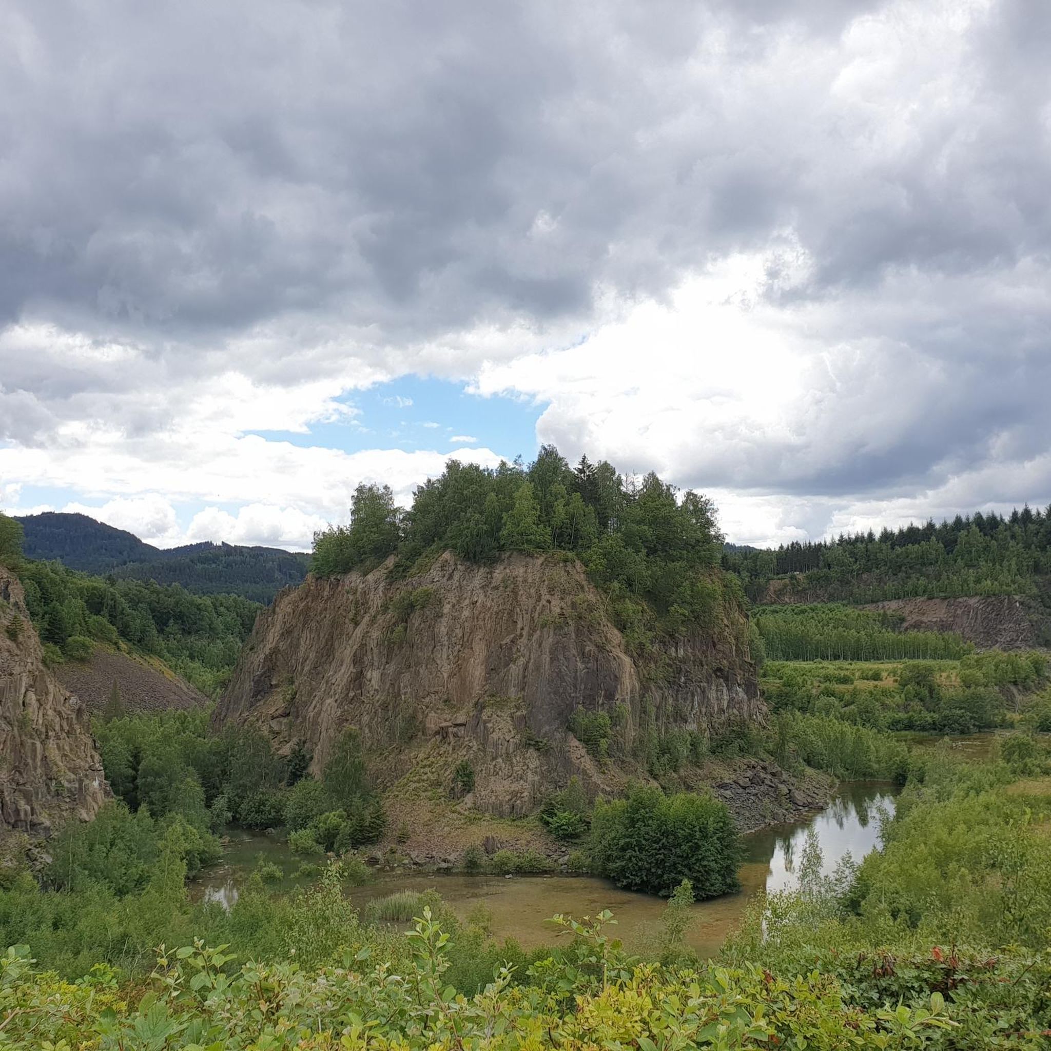
has its own story the town hall in Wendelsheim was built with stones from the quarry
13
1
These reed sandstones were installed at the Cologne Cathedral or at the entrance to the Wilhelma in Stuttgart.
13
0

A beautiful little pond
10
1
Frequently Asked Questions
What are some unique natural features to explore around Rottenburg am Neckar?
The region offers diverse natural features. You can visit the enchanting Fairy Lake, Wendelsheim, formed in a former sandstone quarry, or witness the dramatic geological formation of the Neckardurchbruch (Neckar Breakthrough). The Rommelstal and Katzenbachtal also provide picturesque valleys with streams and rock formations.
Are there family-friendly natural monuments in the area?
Yes, several natural monuments are suitable for families. The Fairy Lake, Wendelsheim, with its nature information trail, is a great option. The Birkensee (Natural Monument), featuring a boardwalk through a moor, is also considered family-friendly. Additionally, the Frog Pond in the Goldersbach Valley is a small, charming spot for a family visit.
What kind of hiking trails can I find near Rottenburg am Neckar's natural monuments?
You'll find a variety of hiking trails. The 'Wurmlinger Kapellenwegle' is a recognized premium hiking trail leading to the Wurmlinger Kapelle, offering panoramic views. The 'Sieben-Täler-Runde' is another premium trail in the Katzenbachtal. For more options, explore the hiking routes around Rottenburg am Neckar, which include paths like the 'Hirschauer Spitzbergwegle'.
What is the best time of year to visit the natural monuments?
While beautiful year-round, autumn is particularly stunning, especially around the Wurmlinger Kapelle and Kapellenberg, where the vineyards display vibrant colors. Spring and summer also offer lush greenery and pleasant weather for outdoor activities.
Can I find historical elements alongside the natural beauty?
Absolutely. In the Rommelstal, you can discover vestiges of a Roman water pipeline, blending natural beauty with historical remnants. The Path Through the Old Schilfsandstein Quarry also has a rich history, with its sandstone used in significant structures like Cologne Cathedral.
Are there any natural monuments that offer impressive viewpoints?
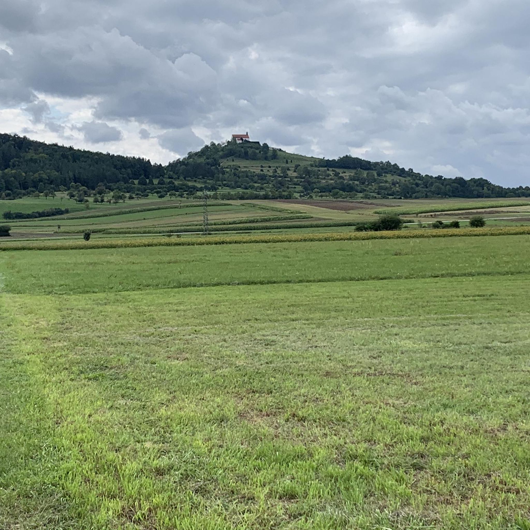
Yes, the Kapellenberg, where the Wurmlinger Kapelle is located, provides breathtaking 360-degree panoramic views of the surrounding Neckar Valley, the Swabian Alb, the Black Forest, and the Ammertal. The Fairy Lake, Wendelsheim and Birkensee (Natural Monument) also offer scenic viewpoints.
What kind of geological formations can be observed?
The region is rich in geological interest. The Path Through the Old Schilfsandstein Quarry showcases bizarre rock formations from reed sandstone. The Neckardurchbruch is a striking example of the Neckar River carving a narrow passage through the landscape. The Märchensee itself formed in a former sandstone quarry, highlighting the area's geological past.
Are there opportunities for cycling near these natural monuments?
Yes, the Neckar River, which flows through the Rottenburg area, is ideal for cycling. The Neckartal-Radweg (Neckar Valley Cycle Path) runs alongside it. You can find various cycling routes, including easy and moderate options, by exploring the cycling guide for Rottenburg am Neckar.
What makes the Birkensee a special natural monument?
The Birkensee (Natural Monument) is a unique moor-like lake formed in an abandoned quarry. It's designated as a natural monument due to its rare plant communities and distinctive vegetation, making it one of the most interesting botanical areas in the Nature Park. A boardwalk allows visitors to experience the moor up close.
What do visitors particularly enjoy about the natural monuments around Rottenburg am Neckar?
Visitors appreciate the diverse landscapes and unique geological formations. Many enjoy the romantic, fairytale-like quality of the Fairy Lake, the impressive rock formations of the Old Schilfsandstein Quarry, and the unique vegetation around the Birkensee. The panoramic views from Kapellenberg are also a major draw.
Are there any specific trails for gravel biking in the vicinity?
Yes, the region offers challenging gravel biking routes. For example, you can find routes like 'Tuebingen – Water Lily Pond in the Schaich Valley loop' or 'Ammer River – Royal Hunting Lodge Schönbuch loop'. More options are available in the gravel biking guide for Rottenburg am Neckar.
Most popular routes around Rottenburg am Neckar
Most popular attractions around Rottenburg am Neckar

Get inspired with the komoot mobile app


Explore more
Extend your search for the best caves by checking out these guides of the top ones around Rottenburg am Neckar:
