Top 20 Natural Monuments around Schirgiswalde-Kirschau
Natural monuments around Schirgiswalde-Kirschau are located in Saxony, Germany, within the Lusatian Highlands. The region features a diverse natural landscape, including mountains, rock formations, and springs. These sites offer opportunities for outdoor exploration and provide insights into the area's geological features. The terrain includes various elevations, suitable for different levels of hiking.
Best natural monuments around Schirgiswalde-Kirschau
- The most popular natural monuments is Kälbersteine and Kälbersteinbaude, a summit that features exciting rock formations rising almost 200 meters above Sohland…
Last updated: July 8, 2026
Kälbersteine and Kälbersteinbaude
Highlight • Summit
Translated by Google •
Tip by

Wesenitz Spring
Highlight • Natural Monument
Translated by Google •
Tip by

Sign up now to discover places like this
Get recommendations on the best single tracks, peaks, & plenty of other exciting outdoor places.
Sign up for free
Devil's Pulpit
Highlight • Natural Monument
Translated by Google •
Tip by

Devil's Window rock formation
Highlight • Natural Monument
Translated by Google •
Tip by

North Cape (Northernmost Point of the Czech Republic)
Highlight • Natural Monument
Translated by Google •
Tip by

Sign up for free to discover even more natural monuments around Schirgiswalde-Kirschau.
Sign up for free
Already have an account?
Start today with a free account
Your next adventure awaits.
Login or Signup
Popular around Schirgiswalde-Kirschau
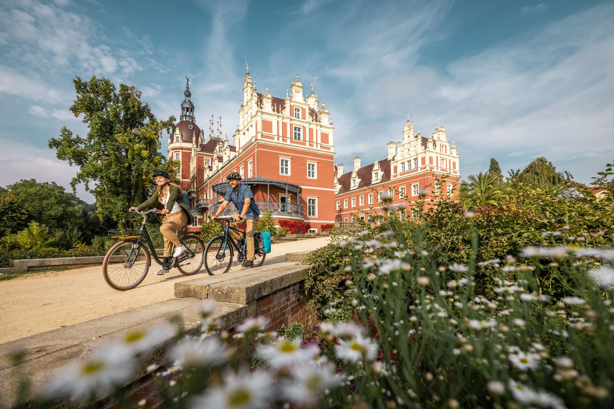
Oberlausitz Cycling Region – 18 superb routes in Upper Lusatia
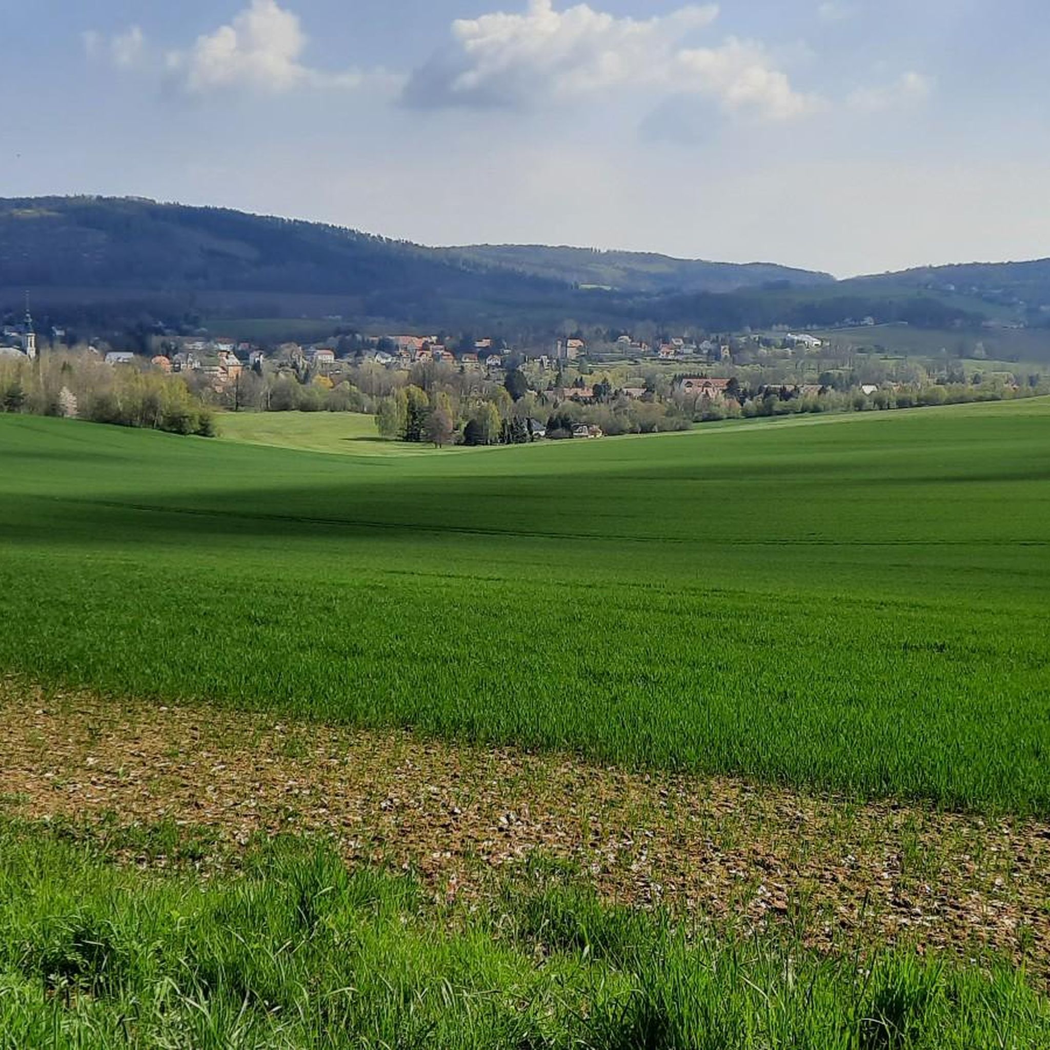
Hiking around Schirgiswalde-Kirschau
Cycling around Schirgiswalde-Kirschau
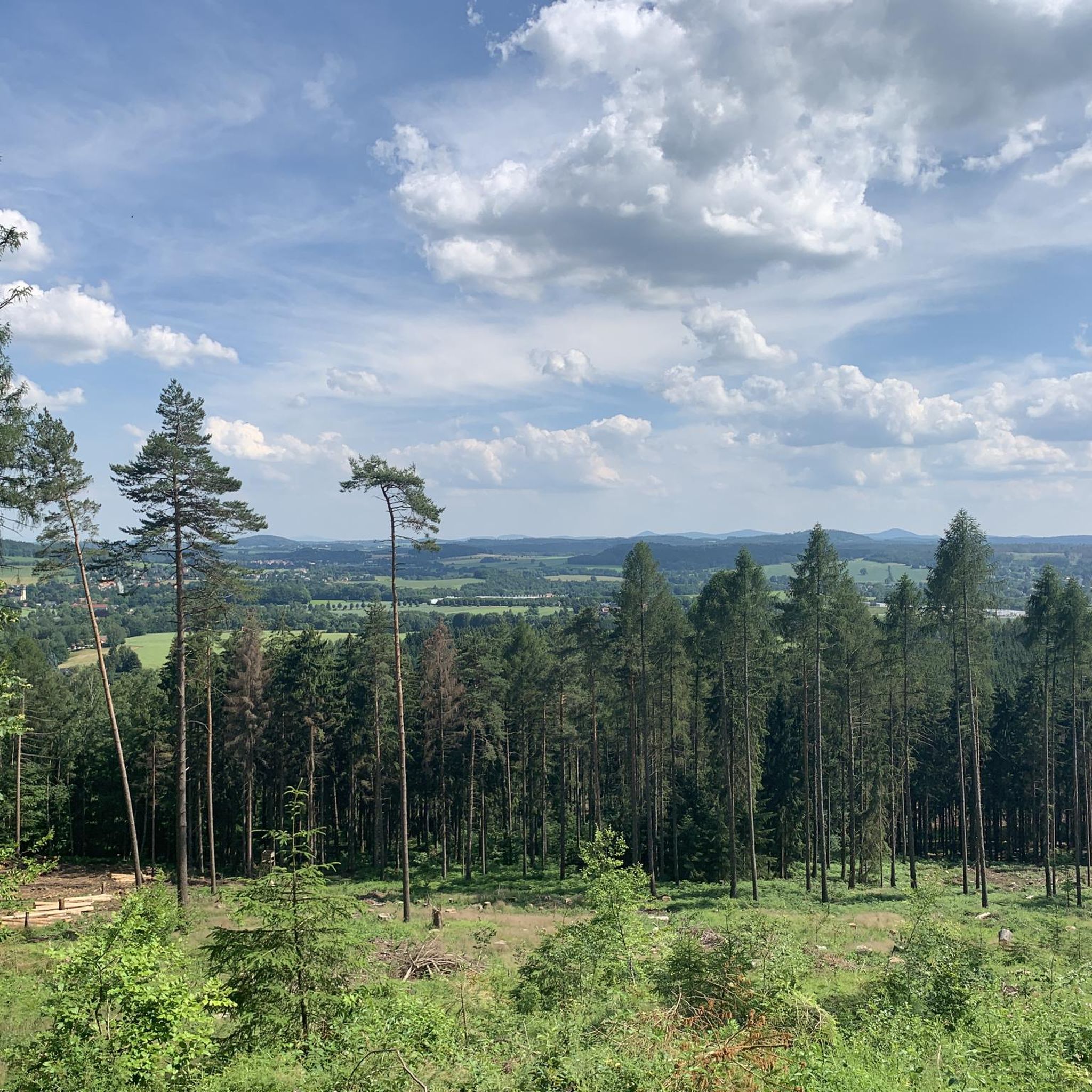
Road Cycling Routes around Schirgiswalde-Kirschau
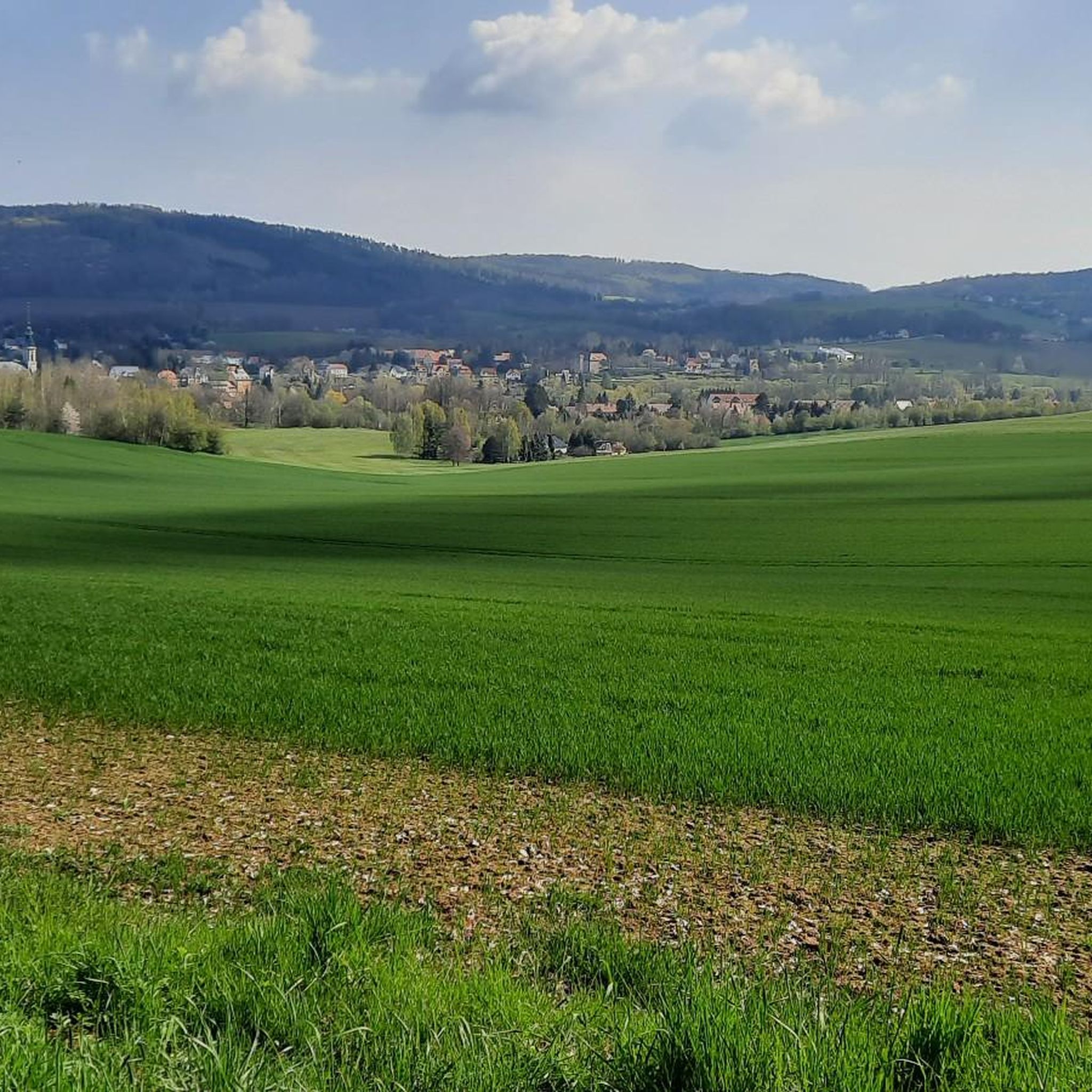
MTB Trails around Schirgiswalde-Kirschau
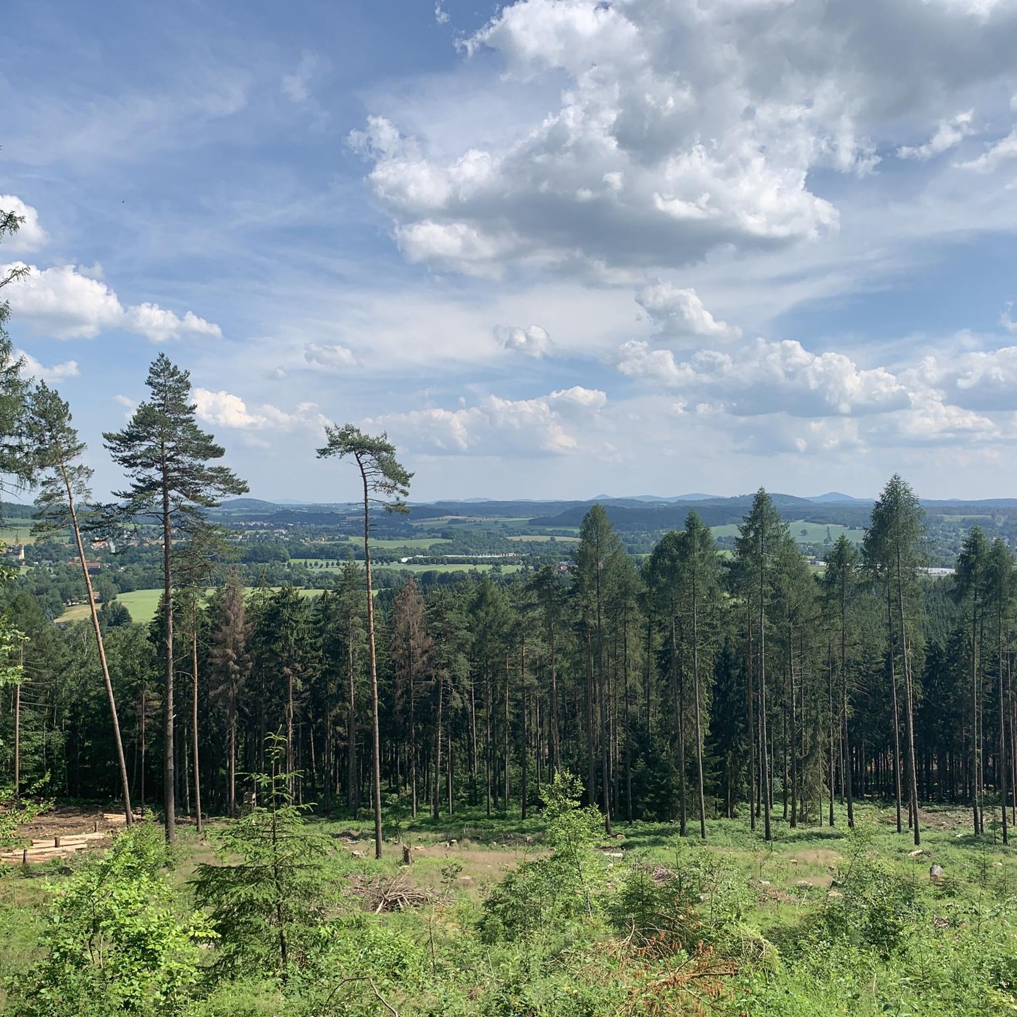
Running Trails around Schirgiswalde-Kirschau

Gravel biking around Schirgiswalde-Kirschau
Other adventures around Schirgiswalde-Kirschau

Tips from the Community

Wesenitz Spring and Valentin Adit Information The Wesenitz River originates at an elevation of 515 meters above sea level on the southeastern slope of the Valtenberg mountain, emerging from the entrance of a 60-meter-long mine adit known as the "Goldbergwerk" (Gold Mine). The Wesenitz was first documented in 1213. Valentin Adit at the Wesenitz spring on the southern slope of the Valtenberg mountain.
2
0

Great rock formation near the mountain inn
0
0

Anyone who comes from the area must have been there at least once. Even if boundaries (should) connect rather than divide.
1
0

The hiking trail along the Czech-German border is, as Bernhard Sander correctly stated above, a typical forest hiking trail. Not suitable for cycling in any way (not even MTB unless you're a little crazy).
2
0

story Trying to unravel a mystery. In the spring of 2006 we discovered a large hand-shaped weathering depression in the rocks of Upper Lusatia. We baptized it "God's Hand" Maybe it was just a whim of nature. Nevertheless, measurements carried out in the spring of 2007 yielded a surprising result: if you looked out of the triangular viewing hole of a nearby cave over the "God's Hand" towards the sky, you could see the noon point of the winter solstice directly. ... An accident? Since then we have systematically visited every rock known to us in Upper Lusatia and many more, examined them for characteristics and measured them. We discovered more solar observation phenomena. Individual rock objects with one or more viewing windows are particularly impressive. These viewing windows often mark not only the midday sun of the winter solstice, but also the morning and evening sun of both the winter and summer solstices and the beginning of spring and autumn. Some rocks reflect the observation scheme of the prehistoric "Nebra Sky Disc" discovered in Saxony-Anhalt even reflected 1:1. ... Is it really all just a coincidence???? We don't think so! We are of the opinion that although nature in many cases created the conditions for numerous viewing windows through crevasses and fissures in the rock, their alignment to always the same specific points in the sky is in many cases a deliberate work of man with the intention of using the suns and their movement in the sky to determine the length of the year and to divide it into periods. Undoubtedly traces of this targeted human influence and even stone tools used for this purpose have already been discovered and recorded in expert reports. In 2008, with the support of the star friends of the observatory "Bruno H. Bürgel" e.V. Sohland/Spree, we launched the "Project-Götterhand" to investigate the phenomenon. Source: Hand of the Gods
0
0
In principle, the spring drains the old Valentin tunnel. Water is life.
2
0


Frequently Asked Questions
What unique geological formations can I explore around Schirgiswalde-Kirschau?
The region is known for its distinctive rock formations. A prominent example is Kälbersteine and Kälbersteinbaude, where you can discover exciting rock formations, with the largest at the summit accessible via a staircase. Another interesting site is Devil's Window rock formation, which has a billboard explaining its origin and is associated with local legends.
Are there family-friendly natural monuments in the region?
Yes, several natural monuments are suitable for families. The Wesenitz Spring is considered family-friendly, offering a nice spot to rest with an information sign and a small trowel and sieve for water play. The North Cape (Northernmost Point of the Czech Republic) also offers a very nice hike, especially the nature trail, which is interesting for all ages.
What are some popular viewpoints among the natural monuments?
Many natural monuments in the area offer excellent views. The Kälbersteine summit provides glimpses of the surrounding hills and mountains. The Devil's Pulpit is also a viewpoint within the forest. Beyond these, the Valtenberg, the highest peak in the Lusatian highlands, features the König-Johann-Turm lookout tower with expansive views, and Bieleboh mountain also has a 21-meter-high observation tower offering endless views over the Lusatian Mountains.
Can I find easy hiking trails near the natural monuments?
Yes, there are several easy hiking options. For instance, a flat, rooty trail leads to the Devil's Pulpit. If you're looking for more structured routes, you can explore easy hiking trails like the 'Spree Floodplain – Sohland Reservoir loop from Schirgiswalde-Kirschau' or the 'Mälzerberg Quarry – Kälbersteine loop from Schirgiswalde-Kirschau'. You can find more details on these and other routes in the Hiking around Schirgiswalde-Kirschau guide.
What outdoor activities can I do near these natural monuments?
The region offers diverse outdoor activities. Hiking is very popular, with trails leading to various natural monuments like the Kälbersteine. You can find numerous hiking routes in the Hiking around Schirgiswalde-Kirschau guide. Additionally, there are options for road cycling, with routes like the 'Church of Sohland an der Spree – Reiterhaus Neusalza-Spremberg loop' detailed in the Road Cycling Routes around Schirgiswalde-Kirschau guide, and running trails, such as the 'Bieleboh Observation Tower – Kälbersteine Rock Formation loop' found in the Running Trails around Schirgiswalde-Kirschau guide.
Are there any natural springs to visit?
Yes, the Wesenitz Spring is a notable natural monument in the area. It's a beautifully designed source that offers a great place to rest, complete with an information sign and even a small trowel and sieve for visitors to interact with the water.
What is the best time of year to visit the natural monuments around Schirgiswalde-Kirschau?
The natural monuments are generally accessible year-round. Spring and autumn offer pleasant temperatures for hiking and enjoying the changing foliage. Summer is ideal for longer days and outdoor activities, while winter can provide a unique, serene experience, especially for sites like Valtenberg and Bieleboh, whose observation towers and mountain dwellings are open year-round (with some exceptions for Valtenberg).
Are the natural monuments dog-friendly?
While specific dog-friendly designations for each natural monument are not always available, many outdoor areas and hiking trails in the region are generally welcoming to dogs, provided they are kept on a leash. It's always advisable to check local regulations or signage at individual sites. The natural trails leading to formations like Devil's Pulpit or the paths around Kälbersteine are typically suitable for walks with dogs.
Where can I find refreshments or accommodation near the natural monuments?
Several natural attractions in the region offer facilities for refreshments and even accommodation. The Valtenberg features the Valtenbergbaude, a mountain dwelling. On Bieleboh mountain, you'll find the Bieleboh Forest Lodge, which provides dining options and overnight accommodation. The Kälbersteine also has the Kälbersteinbaude, which is a hut offering services. Additionally, the Czorneboh mountain has a mountain inn.
How long should I plan for a visit to the natural monuments?
The duration of your visit depends on the specific natural monument and your activity. For a site like Kälbersteine, a hike to the summit and exploration of the rock formations might take a few hours. Visiting the Wesenitz Spring could be a shorter stop. For larger mountains like Valtenberg or Bieleboh, especially if you plan to ascend the observation towers and enjoy the views or dine at the mountain lodges, you might want to allocate half a day or more. Many natural monuments can be combined into longer hiking routes.
Are there any natural monuments with historical significance or local legends?
Yes, several sites are steeped in history and folklore. The Kälbersteine are said to be where farmers hid their cattle during the Thirty Years' War. The Devil's Window rock formation on Czorneboh is linked to legends of goblins and hidden treasures. Czorneboh itself is a legendary cult site of the Milzener, ancestors of today's Sorbs, with its name translating to 'Black God'.
What is the highest point among the natural monuments in the area?
The highest peak in the Lusatian highlands, and a prominent natural landmark in the region, is Valtenberg, standing at 587 meters. It offers a lookout tower, the König-Johann-Turm, for panoramic views.
Are there any natural monuments that are less crowded or considered 'hidden gems'?
While popular sites like Kälbersteine attract many visitors, exploring some of the less prominent natural features or visiting during off-peak hours can offer a more tranquil experience. The Devil's Pulpit, described as a mystical and energetic place with a flat, rooty trail, might offer a more secluded feel compared to the larger mountain summits. The Wesenitz Spring also provides a peaceful resting spot.
Most popular routes around Schirgiswalde-Kirschau
Most popular attractions around Schirgiswalde-Kirschau

Get inspired with the komoot mobile app


Explore more
Extend your search for the best caves by checking out these guides of the top ones around Schirgiswalde-Kirschau:
