Top 20 Natural Monuments around Bredstedt
Best natural monuments around Bredstedt are characterized by the unique North Sea landscape, featuring extensive marshlands, coastal areas, and protected nature reserves. This region, situated near the Wadden Sea National Park, offers diverse ecosystems from vast salt marshes to freshwater lagoons. The natural environment provides critical habitats for numerous bird species and showcases the power of natural coastal processes. Visitors can explore these areas to experience the distinct topography and ecological value of North Friesland.
Best natural monuments around Bredstedt
…Last updated: June 25, 2026
Lüttmoorsiel Seawall and View over the Beltringharder Koog
Highlight • Viewpoint
Translated by Google •
Tip by

Beltringharder Koog Nature Reserve
Highlight • Natural Monument
Translated by Google •
Tip by

Sign up now to discover places like this
Get recommendations on the best single tracks, peaks, & plenty of other exciting outdoor places.
Sign up for free
Hamburger Hallig Causeway
Highlight (Segment) • Trail
Translated by Google •
Tip by

Beltringharder Koog Nature Reserve
Highlight • Natural Monument
What is the highlight? The dike, the North Sea, the mudflats, the sheep, the cyclists, the clouds or mudflats? 😳
Translated by Google •
Tip by

Lüttmoordamm Birdwatching Hide
Highlight • Viewpoint
Translated by Google •
Tip by

Sign up for free to discover even more natural monuments around Bredstedt.
Sign up for free
Already have an account?
Start today with a free account
Your next adventure awaits.
Login or Signup
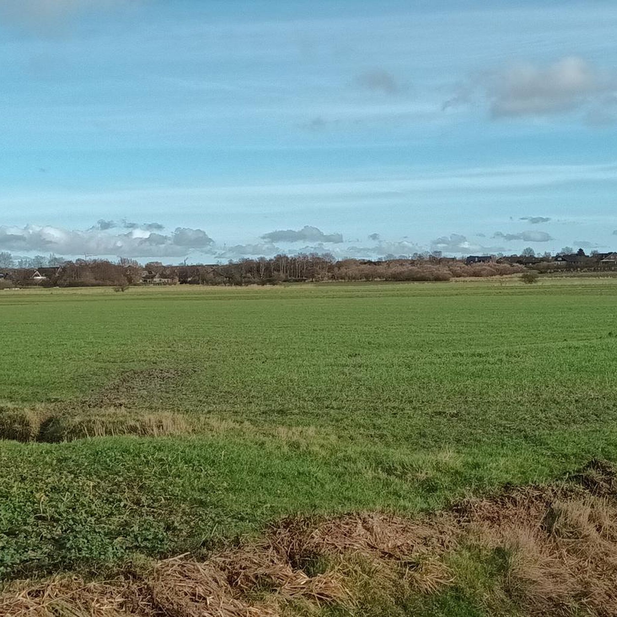
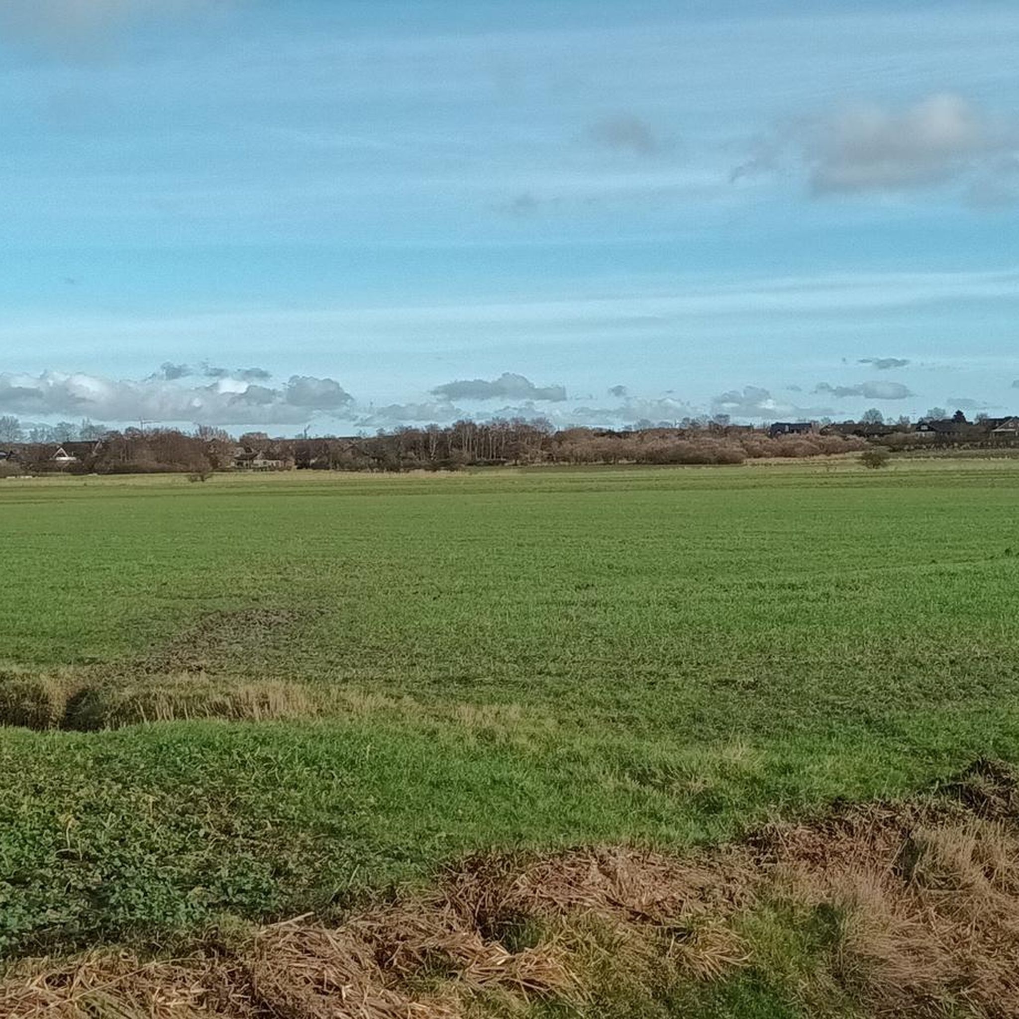
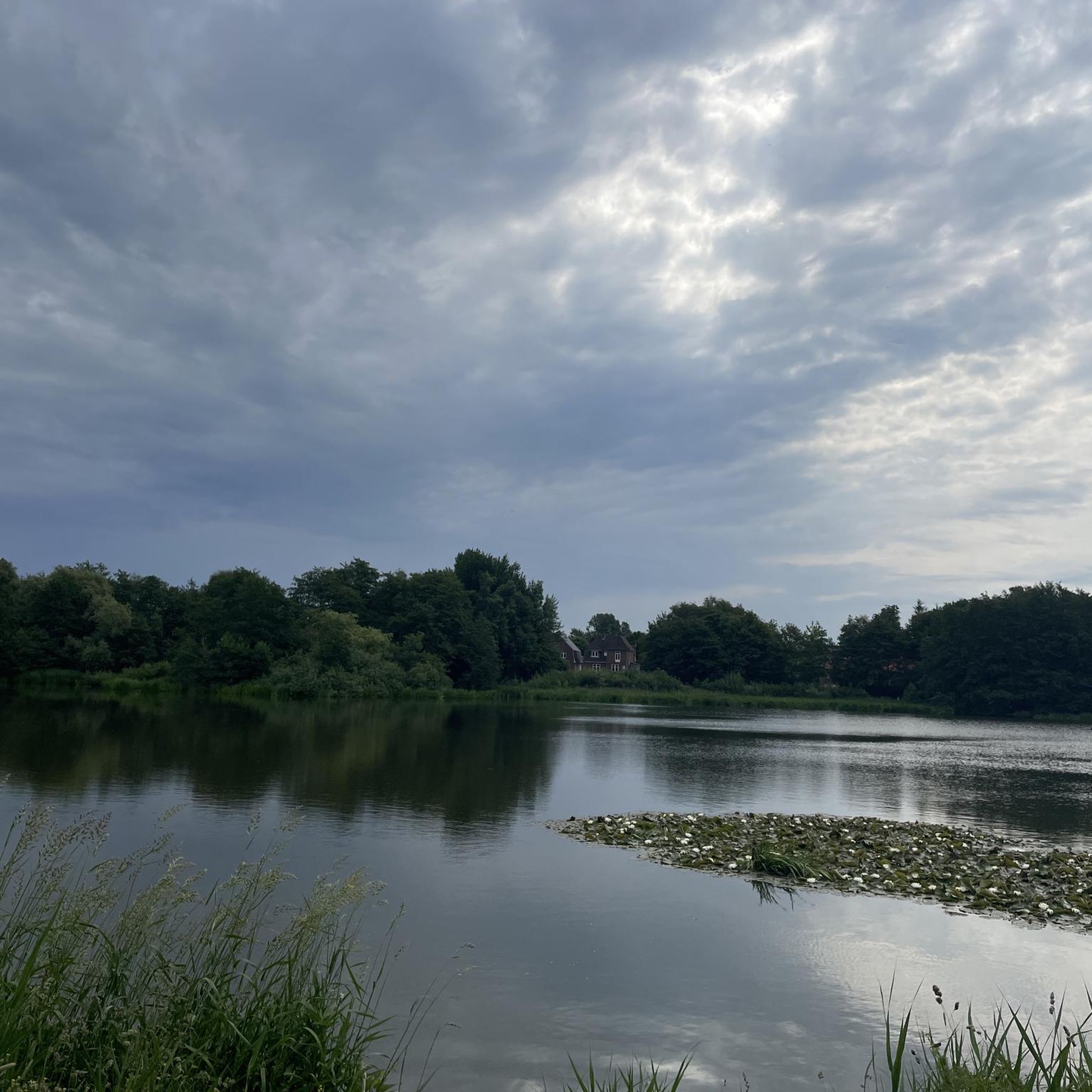
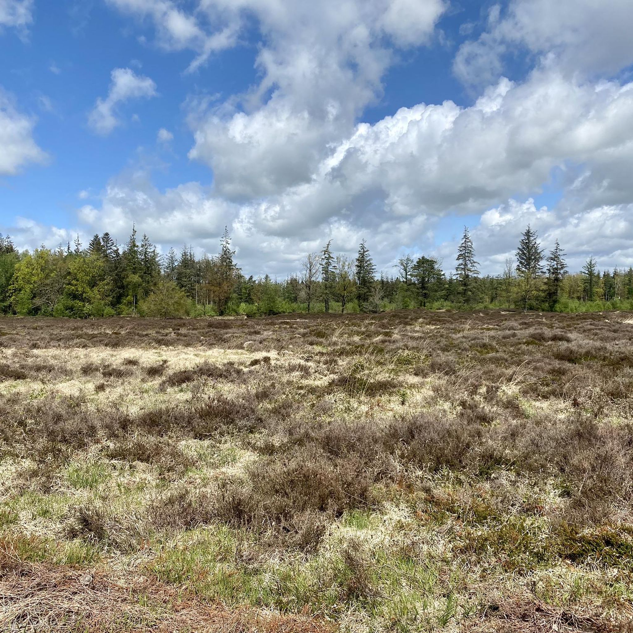
Tips from the Community

Very nice viewing hut. Overlooks a headland in the water near the hut, so if you sit for a while you can see all kinds of waders passing by. Also seen and special ducks. Also after the hut, towards the mudflats, there is water on the right with land nearby, giving you a good view of various birds from the road. Eagle also seen. In July...
1
0

The Beltringharder Koog is the largest nature reserve on the mainland of Schleswig-Holstein and covers around 3,350 hectares. It is located near the Nordstrand Bay and was dammed in 1987 as part of a coastal protection project. Originally designed as a retention area for floods, the Koog has developed into an important habitat for many bird species and is now a true paradise for nature lovers and ornithologists. The diverse landscape of the Beltringharder Koog includes saltwater lagoons, wet meadows and wilderness areas. These different biotopes provide an ideal habitat for numerous plant and animal species. Countless waders and water birds can be observed here, especially during the migration periods in spring and autumn. There are numerous ways for visitors to explore the Beltringharder Koog. Well-developed walking and hiking trails lead through the area and provide impressive views of nature. There are also bird watching huts that offer an undisturbed view of the wildlife. The West Coast Integrated Station also offers informative exhibitions and guided tours that provide deeper insights into nature conservation and the ecology of the region. The Beltringharder Koog is an outstanding example of successful coastal and nature conservation in Germany. It not only offers valuable protection from storm surges, but also an important refuge for endangered animal and plant species. For nature lovers and bird watchers, the Koog is a worthwhile destination that offers unique nature experiences.
0
0

The 5km out to Hamburger Hallig are well worth it. The concrete slabs are well grouted and are definitely suitable for racing bikes. At the end is the Hallig-Krog restaurant - highly recommended. In the season it fills up quickly after opening.
5
0

The Hamburger Hallig is a non-dyked peninsula on the west coast of the Nordfriesland district in Schleswig-Holstein. The name of the Hallig is reminiscent of two Hamburg merchants, the brothers Rudolf and Arnold Amsinck. In 1624 they acquired the dyke rights on the northeast corner of the island of Strand as Oktroy and built dykes by 1628. This is how the Amsinck-Koog was created. The dikes were destroyed by the Burchardi flood in 1634. Only the terp with the “Hamburger Haus” remained and became a salvation for numerous Strand residents during the storm surge. After 1634, the dikes were rebuilt at great expense and survivors of the flood settled. In 1658 Arnold Amsinck died in the “Hamburger Haus” in his Koog after he had invested his entire fortune in rebuilding the dykes. In 1661 the house was demolished and replaced by a smaller one. What happened was described in literature by the Husum writer Albert Petersen in his novel Arnold Amsinck (1921). In 1711 the dikes were so destroyed that the Amsinck-Koog was a Hallig again. It remained in the possession of the Amsinck family until 1760. The name “Hamburger Hallig” was first mentioned in 1781. The house on the Hallig was destroyed by the February flood of 1825. In 1855 a dam connecting the island to the mainland was planned. The dam was built in 1859/60, but broke again in 1860. In 1866/67 a bush dam was built from Bordelumersiel to Hallig. This dam was fortified in 1874 and added a spillway that was closed in 1875. Due to the interruption of the tidal flows, the silt formation on both sides of the dam was greatly accelerated. The experience gained here has had a decisive influence on the further development of land reclamation. In 1878 the tax authorities bought the Hallig and from then on leased it for management. In 1880 an artesian well was built. The dam has been navigable since 1901. In 1908 the Hallig was 96 hectares in size. On April 16, 1930, it was 216 hectares in size including the dyke foreland and was declared a nature reserve. The Hamburger Hallig is no longer an island since it was connected to the mainland by a causeway in 1860. While a land connection via a dam does not, by definition, turn an island into a peninsula, the salt marshes in front of the dam are added here. https://de.wikipedia.org/wiki/Hamburger_Hallig
5
1

beautiful view of the Wadden Sea
4
2

The wide view is indescribably beautiful!
7
4

Island feeling on the mainland.
3
2

From this dike, you reach infinite horizons. You have views of the sea, but also of the halligens and the Beltringharder Koog. As you evolve near mudflats, many sea wading birds better known as wading birds are visible. Oystercatchers, curlews, sandpipers, sandpipers. All these birds find their pantries in the mud. You also see many sheep. The salty grass they eat makes their meats tastier.
5
2
Frequently Asked Questions
What are some of the most popular natural monuments to visit around Bredstedt?
Visitors frequently enjoy the Lüttmoorsiel Seawall and View over the Beltringharder Koog, which offers expansive views of the sea, the Halligen, and the Koog, and is excellent for birdwatching. Another highly appreciated spot is the Transport Dam to Cecilienkoog, a trail separating the Lüttmoorsee from the tidal saltwater lagoon, known for its diverse birdlife.
Are there family-friendly natural monuments near Bredstedt?
Yes, several natural monuments are suitable for families. The Beltringharder Koog Nature Reserve is family-friendly, offering opportunities to observe a unique animal and plant world. The Beltringharder Koog Nature Reserve Entrance also provides well-developed hiking and cycling trails, perfect for exploring with children.
What kind of wildlife can I expect to see at the natural monuments around Bredstedt?
The natural monuments around Bredstedt are a haven for wildlife, especially birds. In areas like the Beltringharder Koog, you can observe numerous sea wading birds such as oystercatchers, curlews, and sandpipers. The saltwater and freshwater habitats also support large bird swarms, including rare terns, avocets, and plovers, making it an excellent spot for birdwatching.
What are the best outdoor activities to do near these natural monuments?
The region offers a variety of outdoor activities. You can enjoy extensive hiking and cycling. For specific routes, explore the Hiking around Bredstedt guide, which includes trails like the 'Bordelum Heath Nature Trail'. Cyclists can find routes in the Cycling around Bredstedt guide, such as the 'Hamburger Hallig loop'.
Are there any unique landscapes or geological features to explore?
Absolutely. The region is characterized by its unique North Sea landscape. The Beltringharder Koog features extensive salt and freshwater habitats, while the Hamburger Hallig boasts the largest salt marsh area on the open North Sea. Further inland, the Löwenstedter Sandberge Nature Reserve offers distinct 'sand mountains' and paths, providing a different natural experience from the coastal areas.
Where can I go for birdwatching near Bredstedt?
The Beltringharder Koog is a prime location for birdwatching. The Lüttmoordamm Birdwatching Hide is one of several freely accessible huts offering excellent views of the diverse birdlife, particularly wading and water birds that rest and breed in the area's lagoons and wetlands.
What is the best time of year to visit the natural monuments around Bredstedt?
The natural monuments around Bredstedt are beautiful year-round, but spring and autumn are particularly rewarding for birdwatching due to migratory bird activity. Summer offers pleasant weather for hiking and cycling, while the unique coastal landscape can be appreciated in all seasons.
Are there any information centers or educational opportunities at these natural sites?
Yes, the Beltringharder Koog has an information center at the Arlau Sluice (Arlau Schleuse), which includes a small natural history museum. The Hamburger Hallig also features the Amsinck House information center and a NABU information hut, offering insights into the local ecology and conservation efforts.
What do visitors enjoy most about the natural monuments in the Bredstedt area?
Visitors frequently highlight the expansive views, especially from the dikes, and the tranquility of the North Sea landscape. The opportunity to observe a wide array of sea wading birds and the unique ecosystems of the salt marshes and lagoons are also highly appreciated. Many enjoy the well-maintained paths for cycling and hiking.
Are there any road cycling routes near the natural monuments?
Yes, there are several road cycling routes in the vicinity. You can find options in the Road Cycling Routes around Bredstedt guide, such as the 'Waterway Near Breklum loop' or the 'Mühlenteich Bredstedt – Waterway Near Breklum loop', offering scenic rides through the region's unique landscape.
What should I wear when visiting the natural monuments around Bredstedt?
Given the coastal and open nature of many sites, it's advisable to wear layers to adapt to changing weather conditions. Windproof and waterproof outer layers are recommended, especially near the sea. Comfortable walking or hiking shoes are essential for exploring the trails and dikes.
Can I find circular walking routes around the natural monuments?
Yes, the area offers various circular walking routes. For instance, the Hiking around Bredstedt guide includes routes like the 'Mittelkoogsweg Wind Farm loop' which is an easy 4.7 km walk, or the more challenging 'Salt Marsh Nature Trail loop' for a longer experience.
Most popular routes around Bredstedt
Most popular attractions around Bredstedt

Get inspired with the komoot mobile app


Explore more
Extend your search for the best caves by checking out these guides of the top ones around Bredstedt:
