Top 8 Natural Monuments around Rothenburg/Oberlausitz
Natural monuments around Rothenburg/Oberlausitz offer a diverse landscape in Saxony, Germany, characterized by unique geographical features and historical significance. The region is known for its natural beauty, including rare hydrological phenomena and preserved natural areas. Visitors can explore a variety of natural attractions that highlight the area's distinct environment.
Best natural monuments around Rothenburg/Oberlausitz
- The most popular natural monuments is Easternmost Point of Germany, a natural monument that marks a significant geographical location. This point has been developed by…
Last updated: July 8, 2026
Easternmost Point of Germany
Highlight • Natural Monument
In order to complete my "Zipfelpass" I have also visited the easternmost point of Germany. I also liked this point because the community made some effort to make this place beautiful.
Translated by Google •
Tip by

Geheege Watershed
Highlight • Natural Monument
Translated by Google •
Tip by

Sign up now to discover places like this
Get recommendations on the best single tracks, peaks, & plenty of other exciting outdoor places.
Sign up for free
View of the Neisse River bend
Highlight • Viewpoint
Translated by Google •
Tip by
View of the Königshain Hills
Highlight • Viewpoint
Translated by Google •
Tip by

Edible Forest Project
Highlight • Forest
It is expressly pointed out that harvesting fruits is desirable. Great idea!
Translated by Google •
Tip by

Sign up for free to discover even more natural monuments around Rothenburg/Oberlausitz.
Sign up for free
Already have an account?
Start today with a free account
Your next adventure awaits.
Login or Signup
Popular around Rothenburg/Oberlausitz
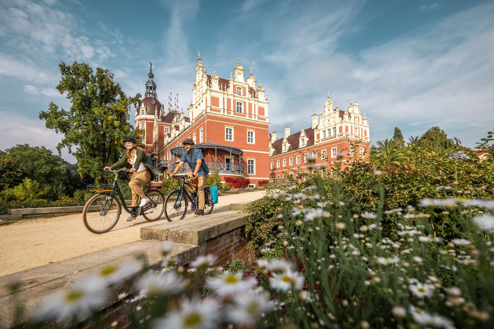
Oberlausitz Cycling Region – 18 superb routes in Upper Lusatia
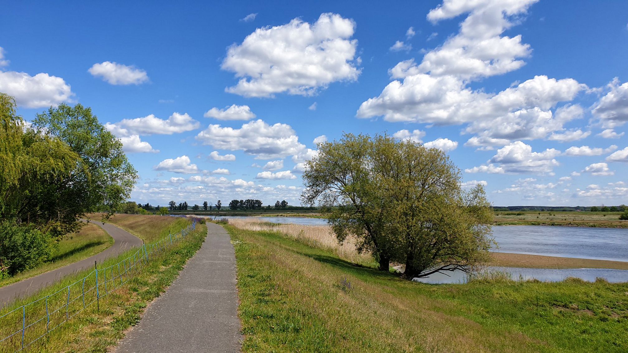
D-Route 12: Oder-Neiße Cycle Route
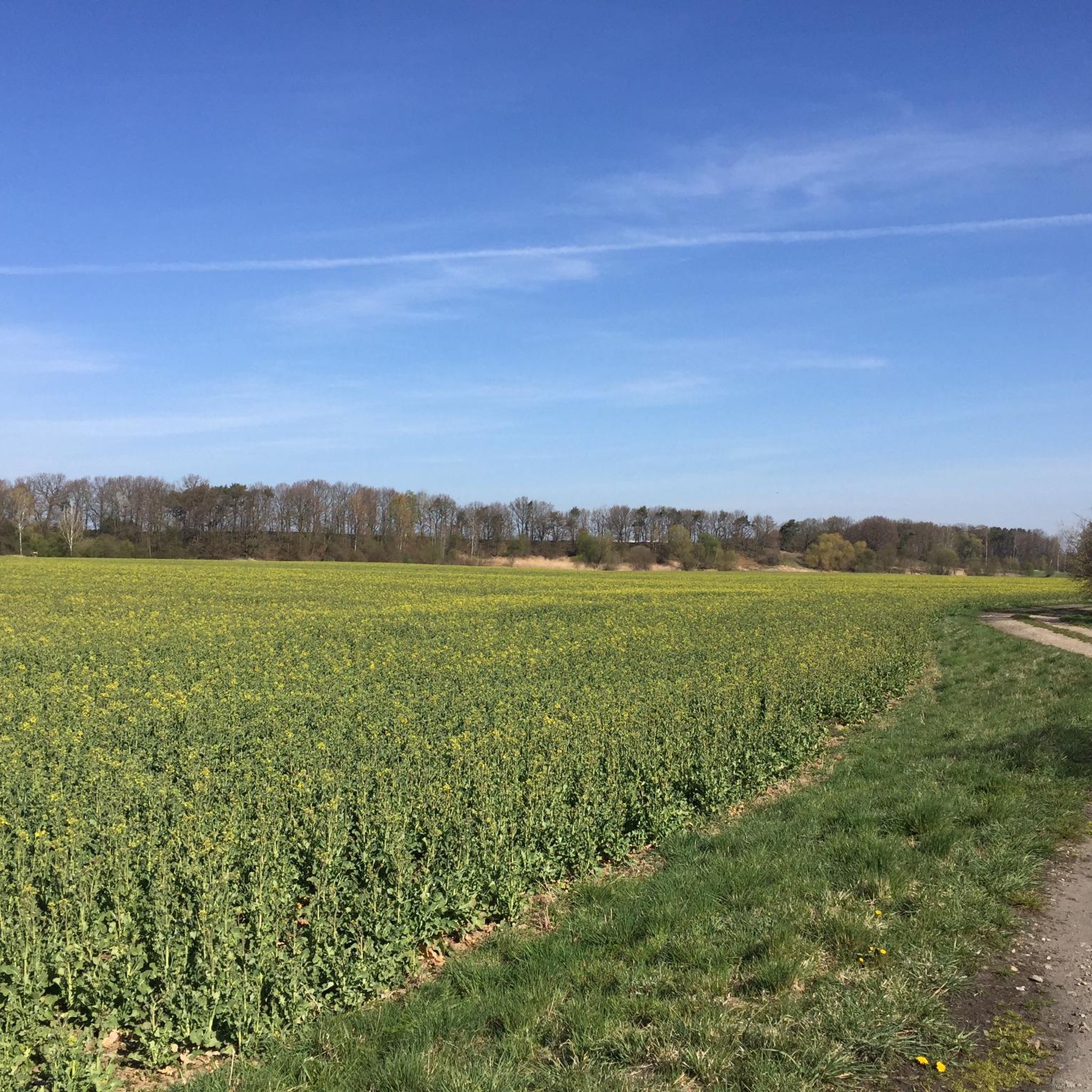
Cycling around Rothenburg/Oberlausitz
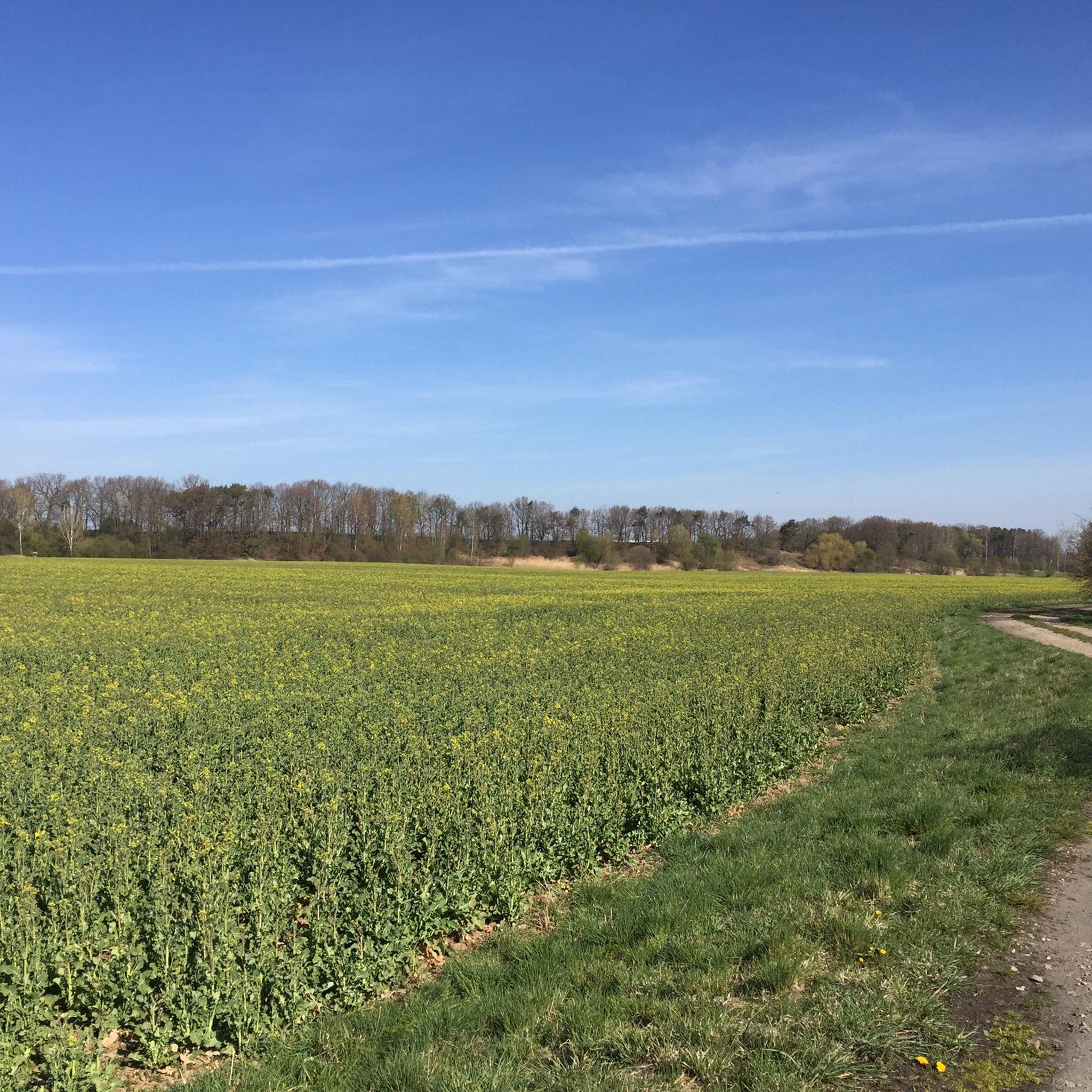
Running Trails around Rothenburg/Oberlausitz
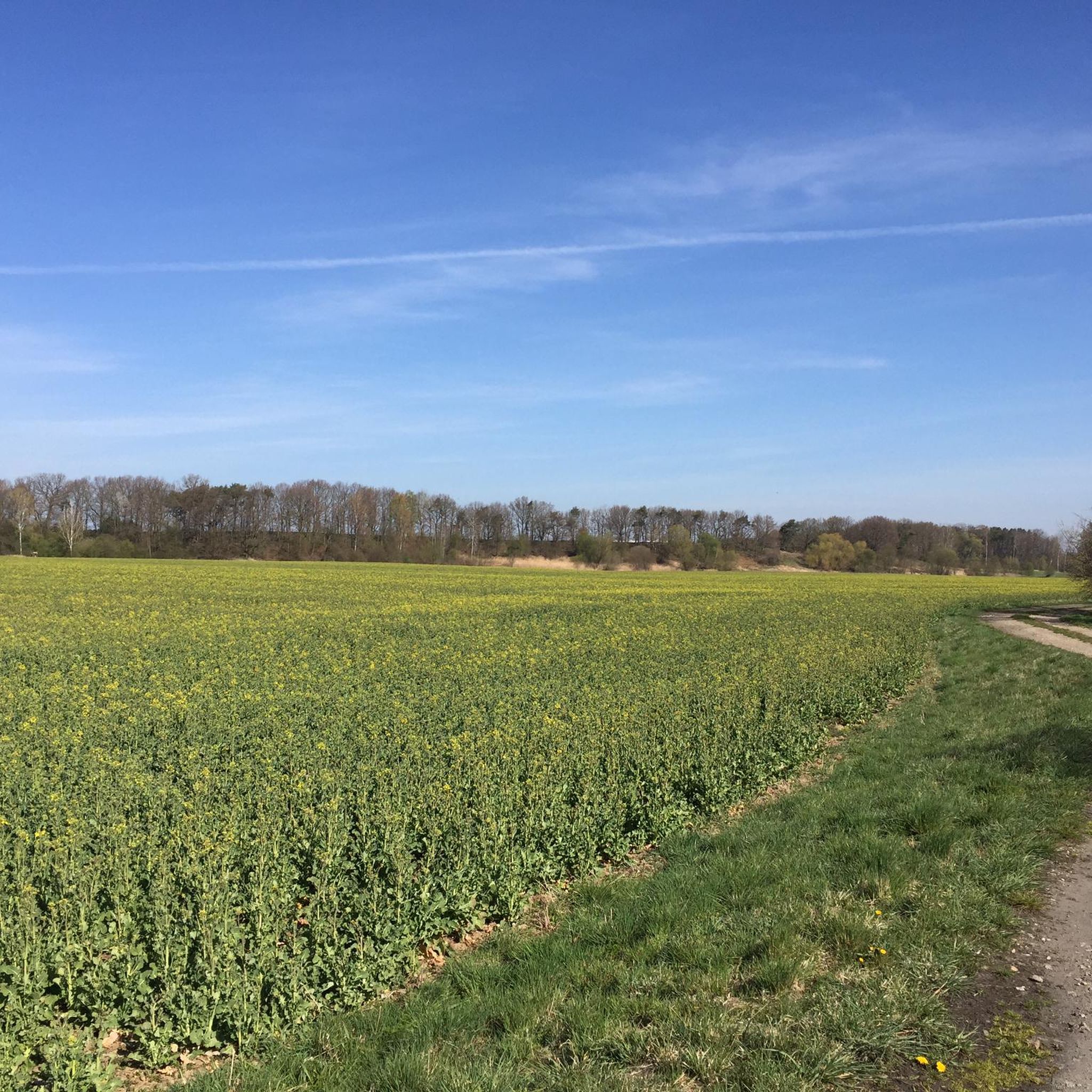
Road Cycling Routes around Rothenburg/Oberlausitz
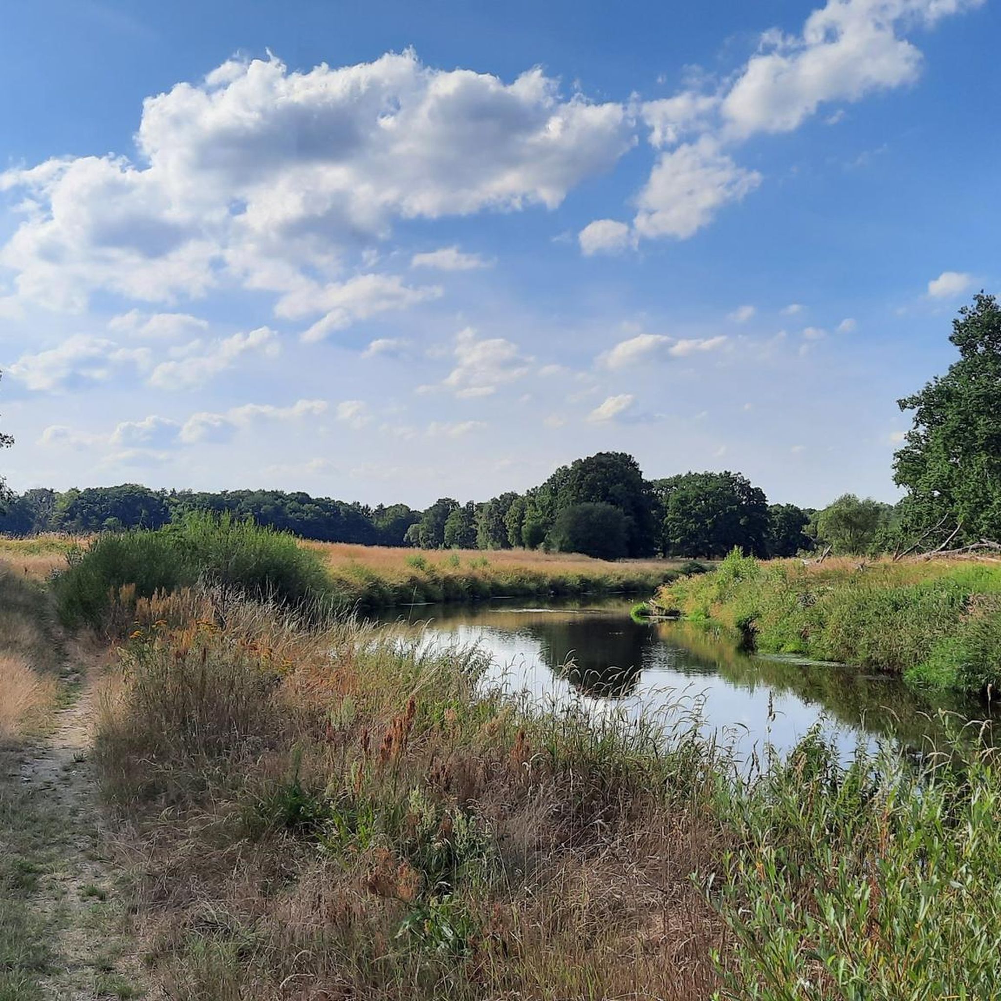
Hiking around Rothenburg/Oberlausitz
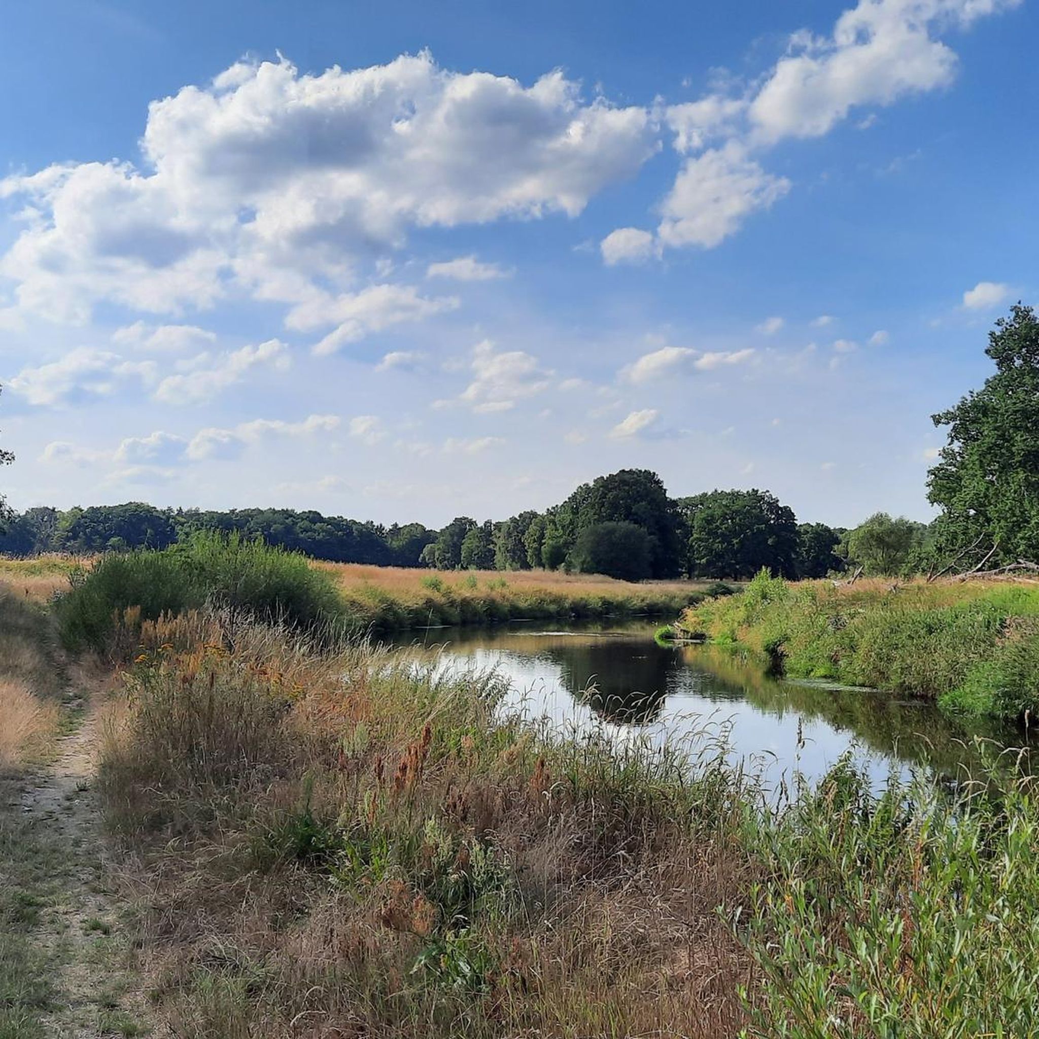
MTB Trails around Rothenburg/Oberlausitz
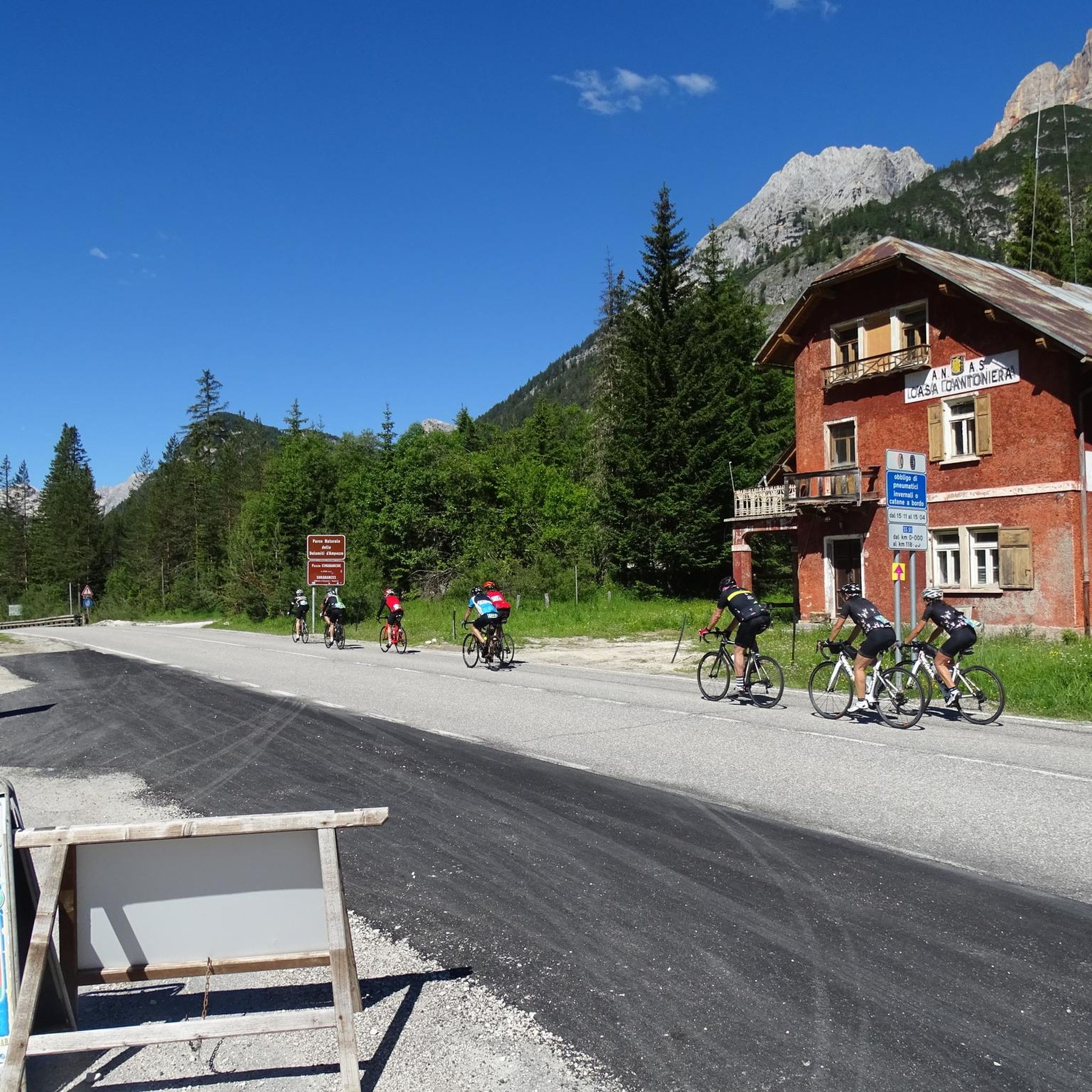
Gravel biking around Rothenburg/Oberlausitz


Tips from the Community

A beautifully laid out ladder until it can't go any further east. 🧭
5
0

View over the Koenigshain mountains. The Koenigshainer Berge is a granite area in which free-standing rock formations formed by erosion protruded from the earth. The area encloses the municipality of Königshain and is about 50 km² in size and largely forested. Some impressive rock formations are still well preserved, many of the granite rocks were removed by granite quarrying, resulting in beautiful water-filled quarries such as the Firstensteinbruch, the Hamannbruch and the Thadenbruch.
0
0

Nice that there is this marking so you can set all directions as a goal 🇩🇪
3
0

Really maxed out down to the last centimetre, it actually lies on the shore, the easternmost point in Germany.
5
0
In contrast to the other peaks in Germany, the easternmost point is rather unspectacular and unexcited. We were also lucky enough to be the only ones in this place, it was our fourth peak and we were a little proud of having been to all four peaks in Germany. The people here in the region prepared this place on their own initiative and also provided it with a corner book. A beautiful thing and one should definitely write in this book.
3
0
In contrast to the other peaks in Germany, the easternmost point is rather unspectacular and unexcited. We were also lucky enough to be the only ones in this place, it was our fourth peak and we were a little proud of having been to all four peaks in Germany. The people here in the region prepared this place on their own initiative and also provided it with a corner book. A beautiful thing and one should definitely write in this book.
5
0

If you want to take the opportunity from the monument to get as far to the east as possible, you have to stand on the bottom bar, further east in Germany 🇩🇪 it is not possible
5
0

A forest garden of fruit trees and berry bushes was laid out here in arched rows. It is expressly pointed out that harvesting fruits is desirable. Great idea!
0
0
Frequently Asked Questions
What are some unique natural monuments to visit in Rothenburg/Oberlausitz?
The region offers several distinctive natural monuments. You can visit the Geheege Watershed, a rare European site where water splits to flow into both the North Sea and the Baltic Sea. Another significant spot is the Easternmost Point of Germany, a geographical landmark developed by the local community. Additionally, the View of the Neisse River bend provides scenic vistas along the Oder-Neisse Cycle Path.
Are there any natural monuments with historical significance in the region?
Yes, the Tormersdorfer Allee serves as a natural monument with a strong historical connection. It features a memorial stone commemorating the village of Tormersdorf, which was destroyed in 1945. This avenue offers a place for reflection amidst nature and is integrated into various cycling routes.
What kind of natural features can I expect to see at these monuments?
You'll encounter diverse natural features. The Geheege Watershed showcases a unique hydrological phenomenon. The View of the Neisse River bend highlights the scenic beauty of the river landscape. You can also find forested areas, such as those near the View of the Königshain Hills, which offer views over a granite area with impressive rock formations.
Are the natural monuments around Rothenburg/Oberlausitz suitable for families?
Many natural monuments in the area are family-friendly. The Geheege Watershed has a beautifully landscaped resting place, perfect for a family stop. The village park in Nieder Neundorf, which includes the 'Zigeunereiche' natural monument, is a 'gem' for diverse flora and fauna, offering recreational activities like volleyball and table tennis, making it ideal for families. The Edible Forest Project is also designed with families in mind, encouraging the harvesting of fruits and berries.
Can I find hiking or cycling routes near these natural monuments?
Absolutely. The natural monuments are often integrated into local trail networks. For instance, the Geheege Watershed is a popular spot for cyclists and hikers. The Tormersdorfer Allee is also part of various cycling routes. You can explore numerous options for road cycling, running, and gravel biking around Rothenburg/Oberlausitz, with routes often passing by or near these natural attractions.
What is the Geheeger Wasserscheide, and why is it significant?
The Geheege Watershed, located southwest of Rothenburg, is a geographical rarity. A water canal here splits into two arms: one flows towards the North Sea via the Elbe, and the other towards the Baltic Sea via the Oder. This makes it an exceptionally rare European example of a dual-sea drainage system. It was created around 1845 to supply a local mill and now features a beautifully landscaped resting place.
Where can I find a good viewpoint to appreciate the natural beauty of the region?
For stunning views, consider the View of the Neisse River bend, which offers picturesque vistas of the river and is a popular resting spot along the Oder-Neisse Cycle Path. Another excellent option is the View of the Königshain Hills, providing expansive views over the forested granite landscape.
What do visitors particularly enjoy about the natural monuments here?
Visitors appreciate the unique geographical features, such as the dual-sea drainage system at the Geheege Watershed. Many also enjoy the peaceful forest idyll and the efforts made by the local community to maintain and beautify these sites, like the corner book at the Easternmost Point of Germany. The scenic views and opportunities for relaxation along cycle paths are also highly valued.
What is the best time of year to visit the natural monuments in Rothenburg/Oberlausitz?
The natural monuments are enjoyable throughout the year. Spring and autumn offer pleasant temperatures for hiking and cycling, with vibrant foliage or blooming nature. Summer is ideal for longer outdoor activities, and the village park in Nieder Neundorf hosts cultural events. Even winter can offer a unique, tranquil experience, especially in forested areas.
Are there options for public transport to reach these natural monuments?
While specific public transport details for each individual monument are not extensively documented, Rothenburg/Oberlausitz is connected by regional bus services. For more remote natural monuments, combining public transport with cycling or walking might be necessary. The village park in Nieder Neundorf is conveniently located directly on the Oder-Neisse Cycle Path, making it accessible for cyclists.
Are there any natural monuments that are easily accessible?
The village park in Nieder Neundorf, featuring the 'Zigeunereiche' natural monument, is easily accessible and located directly on the Oder-Neisse Cycle Path. Many of the natural monuments, like the Geheege Watershed and the Easternmost Point of Germany, are often reached via well-maintained paths suitable for walking and cycling.
Can I bring my dog to the natural monuments or nearby trails?
Generally, dogs are welcome on trails and in natural areas around Rothenburg/Oberlausitz, provided they are kept on a leash and owners clean up after them. Specific regulations for each natural monument may vary, but the region's focus on outdoor activities suggests a dog-friendly environment for most trails and open spaces.
Most popular routes around Rothenburg/Oberlausitz
Most popular attractions around Rothenburg/Oberlausitz

Get inspired with the komoot mobile app


Explore more
Extend your search for the best caves by checking out these guides of the top ones around Rothenburg/Oberlausitz:
