Top 20 Natural Monuments around Hinzert-Pölert
Best natural monuments around Hinzert-Pölert are characterized by the region's diverse natural environment, including rolling hills, dense forests, and notable rock formations. This area, part of the Saar-Hunsrück Nature Park and Hochwald region, offers a variety of natural attractions. Visitors can explore extensive hiking trails that lead through varied terrain and showcase the region's geological features. The natural landscapes provide serene environments for outdoor activities and connecting with nature.
Best natural monuments around Hinzert-Pölert
- The most popular natural monuments is…
Last updated: July 8, 2026
Keller Reservoir
Highlight • Lake
Translated by Google •
Tip by

Former Beaver Pond in the Wadrill Valley
Highlight • Lake
Translated by Google •
Tip by

Sign up now to discover places like this
Get recommendations on the best single tracks, peaks, & plenty of other exciting outdoor places.
Sign up for free
Ruwer Spring
Highlight • Natural Monument
To quote the incomparable humorist Heinz Erhardt (1909 - 1979), who was known to a …
Translated by Google •
Tip by

Rock formation "Frau Holle"
Highlight • Natural Monument
Translated by Google •
Tip by

Riveris Reservoir
Highlight • Lake
Translated by Google •
Tip by

Sign up for free to discover even more natural monuments around Hinzert-Pölert.
Sign up for free
Already have an account?
Start today with a free account
Your next adventure awaits.
Login or Signup

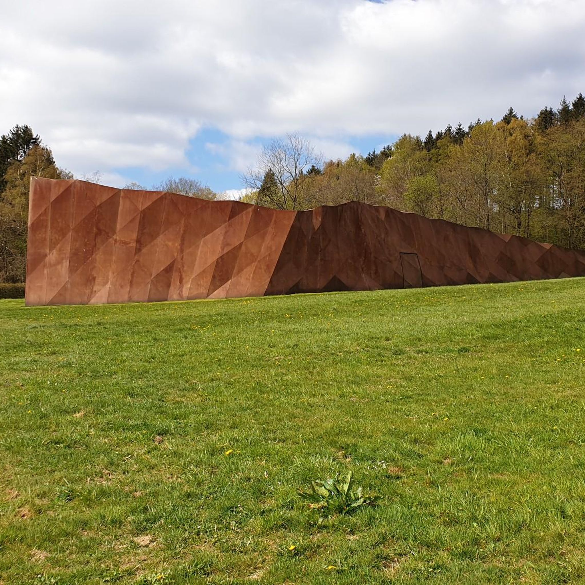
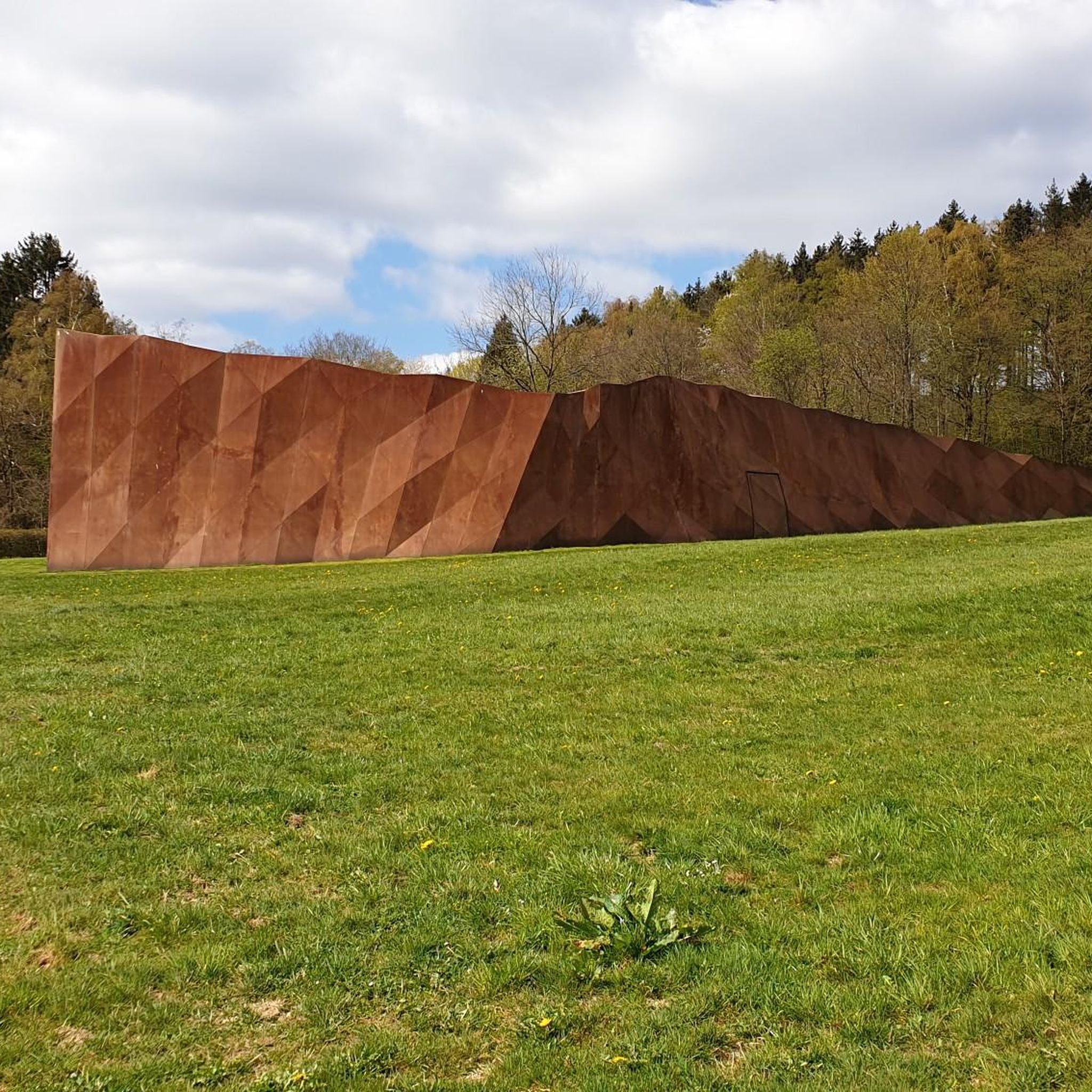
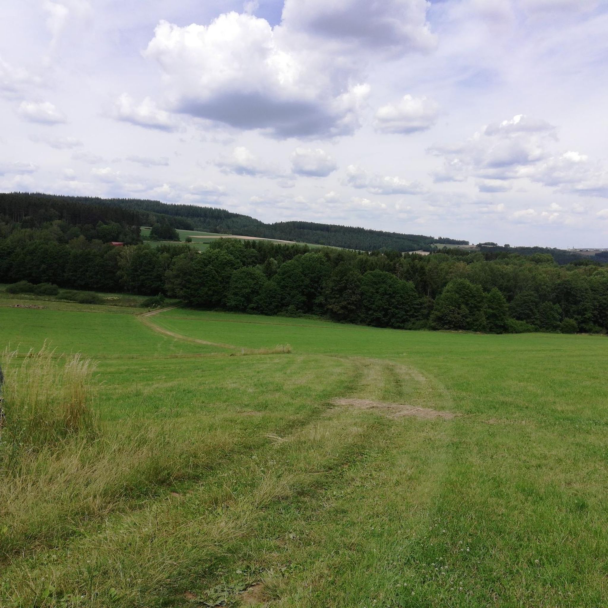
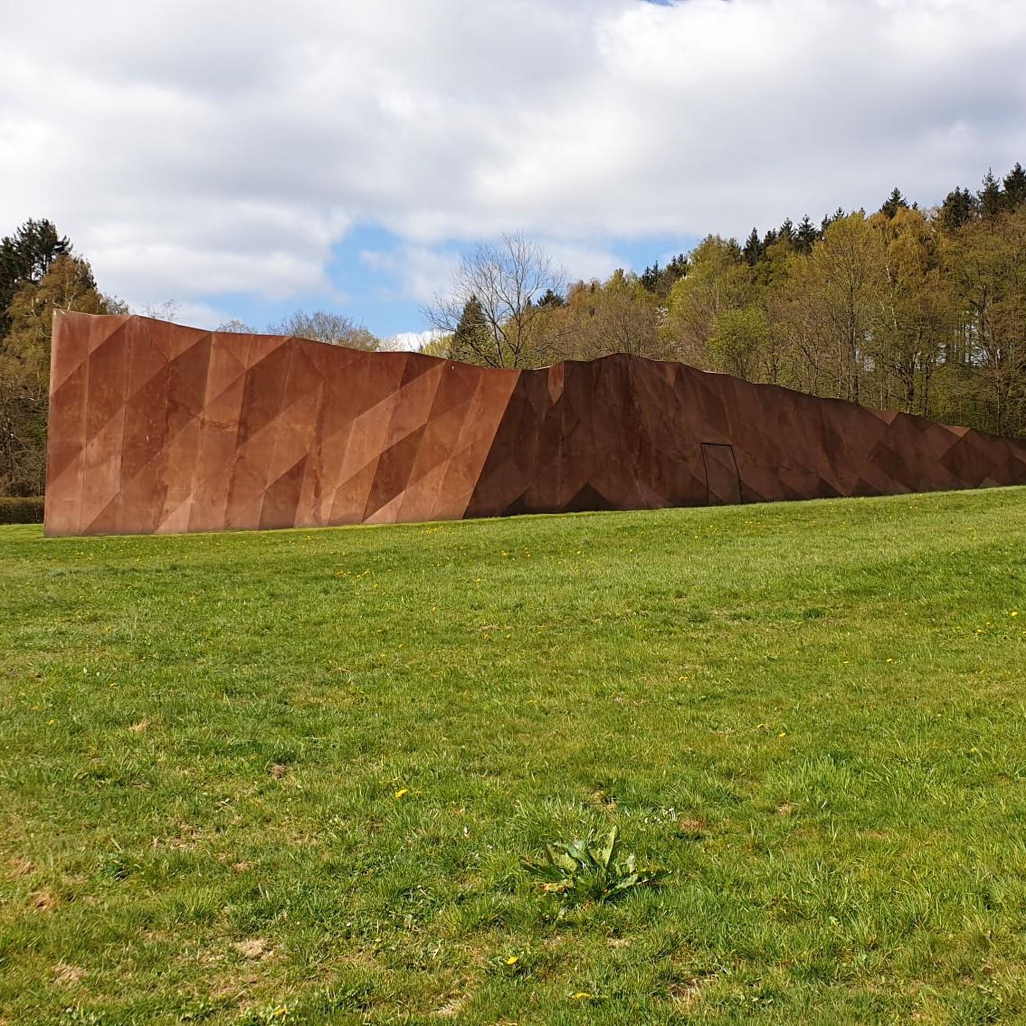
Tips from the Community

For me, "Frau Holle" was always the kind old lady shaking out down comforters. This "Frau Holle" with her hollow eyes gazing out of the rock, however, goes back to the Celtic/Germanic legendary figure who was declared a demon during the Christianization process.
1
0

Reservoir, which can be comfortably walked around on wide paths (also suitable for strollers), beautiful views along the route included as well as the opportunity to stop off at Hau's am See (it is particularly nice on the terrace directly on the lake) and pedal boat rental included.
1
0

Very beautiful rock formation at the beginning of the dream loop.
1
0

A few years ago beavers were spotted here again. Next to the habitat there is a nice little shelter that invites you to take a break and also offers an information board about beavers.
0
0

If you want to see the lake well, you should do the tour when the trees are not in leaf 😊
0
0

The Riveristalsperre is a drinking water dam that was built in the Riveris valley and has been supplying the city of Trier with drinking water since 1958. Technical data: Dam: 350,000 m³ slope and valley gravel, dam height: 50 m, dam width: 178 m, content: up to 5 million m³ drinking water. The area around the dam is a water protection area. You can walk around the dam on a leisurely hiking trail. There is a large car park below the dam. Swimming and water sports are not permitted on the dam, as the water must be protected from contamination.
1
0

A quiet place early in the morning with a lot of waterfowl.
1
0

𝑽𝒐𝒏 𝒅𝒆𝒏 𝑸𝒖𝒆𝒍𝒍𝒆𝒏 𝒃𝒊𝒔 𝒛𝒖𝒓 𝑴ü𝒏𝒅𝒖𝒏𝒈 In the large forest area of the Osburger Hochwald, at 708 meters above sea level, lies the highest point in the Ruwer catchment area - the Rösterkopf. Where the groundwater flowing in the quartzite meets impermeable clay slate, there are several spring outflows. The escaping water ultimately forms the basis for the Ruwer, which is still very inconspicuous there. Below its headwaters, the Ruwer then flows through the Keller Mulde, a nature reserve designated in 1999 with a size of around 270 hectares. The subsoil changes from the original quartzite rock to the softer Hunsrück schist. From now on, the Ruwer flows to the southwest at a significantly lower flow rate than in the source region. In the local area of Zerf, at an altitude of 350 meters above sea level, the river changes its direction of flow and turns north - one speaks of the so-called "Zerfer knee", as the Ruwer changes its direction in a 95 ° bend. Initially, wide floodplains change into stream sections with a narrow valley bottom and quite steep slopes. Only occasionally there are larger valley widenings. The settlements in this middle Ruwertal are on the upper slope. Only there are the slopes and heights more gently inclined and can also be used for agriculture. Finally, in the lower section of the river, there are the wine-growing towns of Waldrach, Kasel, Mertesdorf and Trier-Ruwer. The wine that has made the Ruwertal famous far beyond the country's borders grows on the steep slate slopes facing south and west. Source: Ruwer and tributaries water project, a brochure on the Ruwer water project; Ed .: District administration Trier-Saarburg, 2001
7
1
Frequently Asked Questions
What types of natural features can I expect to see around Hinzert-Pölert?
The Hinzert-Pölert region, part of the Saar-Hunsrück Nature Park, is characterized by diverse natural features. You can explore serene lakes like Keller Reservoir and Riveris Reservoir, dense forests, and notable rock formations such as the Rock formation "Frau Holle". The area also features springs, including the Ruwer Spring, and offers many viewpoints.
Are there family-friendly natural monuments around Hinzert-Pölert?
Yes, several natural monuments are suitable for families. The Keller Reservoir and Riveris Reservoir both offer pleasant paths for walks. The Former Beaver Pond in the Wadrill Valley is also family-friendly, offering a chance to see beaver structures. Additionally, the Hinzert barefoot trail provides a unique sensory experience for children.
What are some popular hiking routes near the natural monuments?
The region is excellent for hiking. The Felsenweg 6 (Traumschleife) is an eleven-kilometer circular route featuring impressive rock formations and viewpoints. The Saar-Hunsrück Climb also passes through the area, offering spectacular views. For more options, you can explore various routes in the Hiking around Hinzert-Pölert guide.
Are there easy hiking options available near Hinzert-Pölert's natural monuments?
Yes, there are several easy hiking trails. The Keller Reservoir has a path along its shore suitable for easy walks, and the Riveris Reservoir offers a loop of about 8 km that is mostly easy to manage. For a wider selection of less strenuous paths, refer to the Easy hikes around Hinzert-Pölert guide.
When is the best time of year to visit the natural monuments around Hinzert-Pölert?
Spring and autumn are particularly appealing times to visit. During these seasons, temperatures are pleasant, and the natural colors are vibrant, making for beautiful scenery, especially along routes like the Felsenweg 6. However, the reservoirs and forests offer unique beauty in every season.
Can I bring my dog to the natural monuments and trails?
Many natural areas and hiking trails in the Hinzert-Pölert region are dog-friendly. It is generally recommended to keep dogs on a leash to protect wildlife and ensure a pleasant experience for all visitors. Always check local signage for specific regulations at each site.
What is the <a href="https://www.komoot.com/highlight/3220468" target="_blank" rel="noopener">Rock formation "Frau Holle"</a>?
The Rock formation "Frau Holle" is a significant natural monument near Reinsfeld. This mighty rocky slope features crevices that, according to Germanic folk belief, represent the eyes of Mrs. Holle. It's a popular spot along a 9.5 km route through the Black Forest high forest.
Are there any natural monuments that are wheelchair accessible?
Yes, the Keller Reservoir is noted as wheelchair accessible, offering a path along the shore. This allows visitors with mobility aids to enjoy the beautiful lakeside environment.
What other outdoor activities can I do near these natural monuments?
Beyond hiking, the Hinzert-Pölert area offers opportunities for road cycling. You can find various routes in the Road Cycling Routes around Hinzert-Pölert guide. The diverse terrain and scenic landscapes are ideal for exploring on two wheels.
What makes the <a href="https://www.komoot.com/highlight/238950" target="_blank" rel="noopener">Keller Reservoir</a> a popular destination?
The Keller Reservoir in Kell am See is a beloved destination year-round. It features a scenic path along its shore, perfect for leisurely strolls, and serves as a starting point for longer tours in the surrounding area. Visitors particularly enjoy experiencing sunrises and sunsets there, and two restaurants are conveniently located directly on the lake.
Where does the <a href="https://www.komoot.com/highlight/3817052" target="_blank" rel="noopener">Ruwer Spring</a> originate?
The Ruwer Spring originates in the large forest area of the Osburger Hochwald, at an elevation of 708 meters above sea level. This is where groundwater meets impermeable clay slate, forming the source of the Ruwer river, which is well-known for the vineyards in its lower valley.
What is the purpose of the <a href="https://www.komoot.com/highlight/345038" target="_blank" rel="noopener">Riveris Reservoir</a>?
The Riveris Reservoir serves as a crucial water reservoir for the city of Trier. Beyond its functional purpose, it's a beautiful location that invites visitors for hiking, with a popular loop of approximately 8 km leading to the barrier.
Most popular routes around Hinzert-Pölert
Most popular attractions around Hinzert-Pölert

Get inspired with the komoot mobile app


Explore more
Extend your search for the best caves by checking out these guides of the top ones around Hinzert-Pölert:
