The 20 Most Amazing Peaks around Torricella-Taverne
Mountain peaks around Torricella-Taverne, a municipality in Switzerland's Ticino canton, are situated at an elevation of 427 meters. The area is characterized by forested landscapes and provides access to various mountain peaks and hiking opportunities in its vicinity, particularly within the Alto Malcantone region. This area offers diverse terrain for outdoor activities.
Best mountain peaks around Torricella-Taverne
- The most popular mountain peaks is View from Monte San Salvatore, a viewpoint that offers a fantastic all-round view and can be…
Last updated: July 6, 2026
Monte Tamaro
Highlight • Summit
Translated by Google •
Tip by

View from Monte San Salvatore
Highlight • Viewpoint
Translated by Google •
Tip by

Sign up now to discover places like this
Get recommendations on the best single tracks, peaks, & plenty of other exciting outdoor places.
Sign up for free
Cima di Medeglia Summit Cross
Highlight • Summit
Translated by Google •
Tip by

Monte Lema
Highlight • Summit
Translated by Google •
Tip by

Saint Mary of the Angels
Highlight • Religious Site
All information about the church can be found here: ticino.ch/de/commons/details/Kirche-Santa-Maria-degli-Angeli/14909.html
Translated by Google •
Tip by

Sign up for free to discover even more peaks around Torricella-Taverne.
Sign up for free
Already have an account?
Start today with a free account
Your next adventure awaits.
Login or Signup


Tips from the Community

The Santa Maria degli Angeli is an impressive chapel on the Alpe Foppa above Rivera. Designed by the renowned architect Mario Botta, it combines modern architecture with spiritual tranquility. A striking footbridge leads spectacularly to the building, opening up views of the Ticino mountain landscape. Inside, intensely colorful works by the artist Enzo Cucchi are impressive. The chapel is a popular destination for hikers and culture enthusiasts. It uniquely combines nature, art, and contemplation and is one of the architectural highlights in Ticino.
4
0
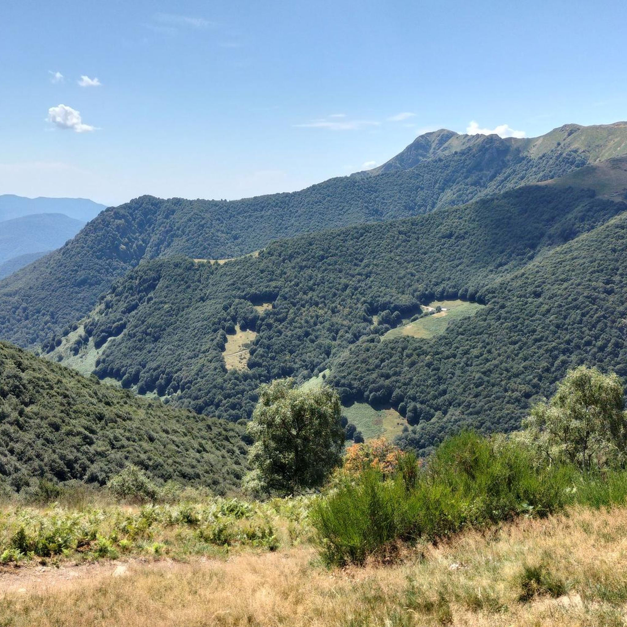
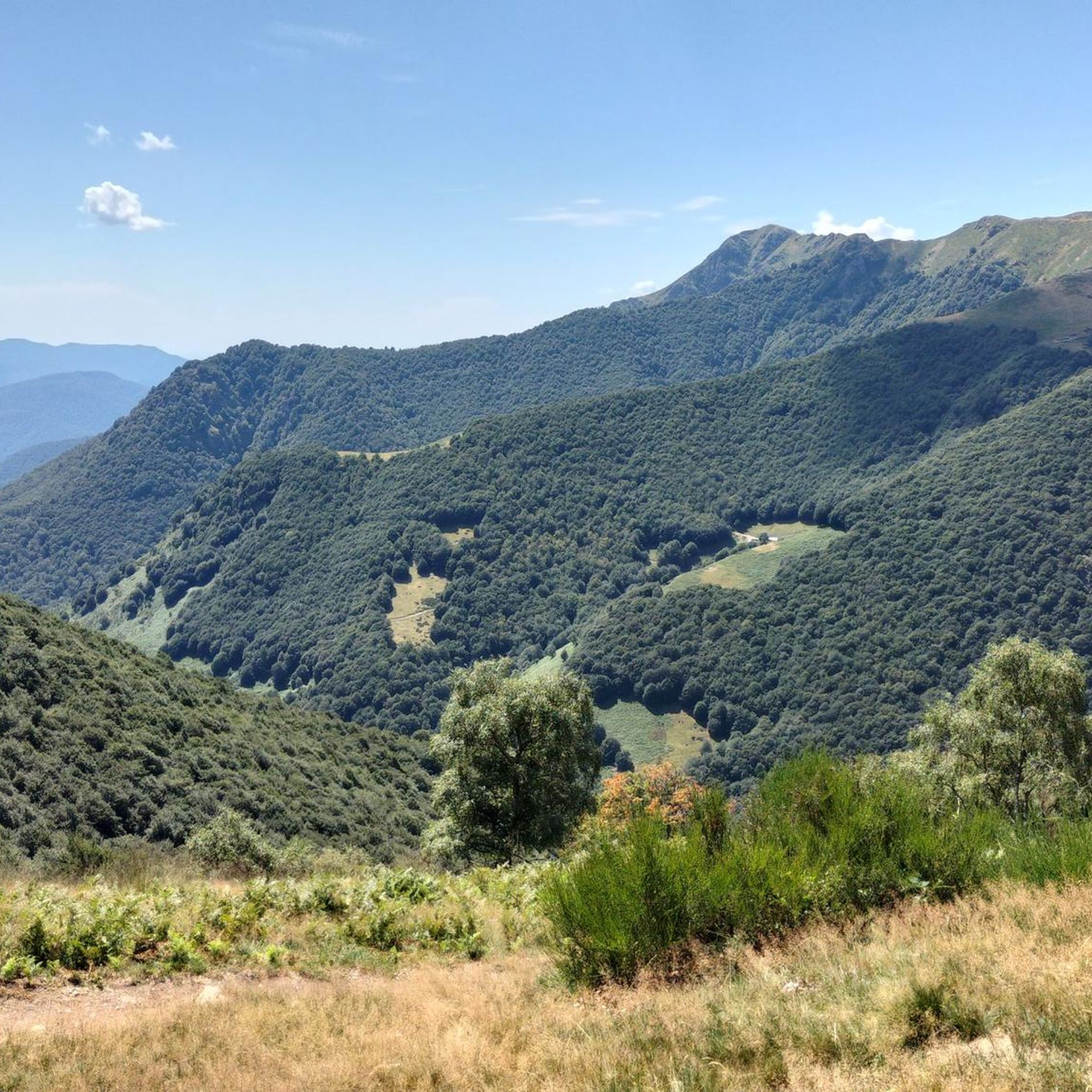
Magnificent 360-degree panoramic view
6
0


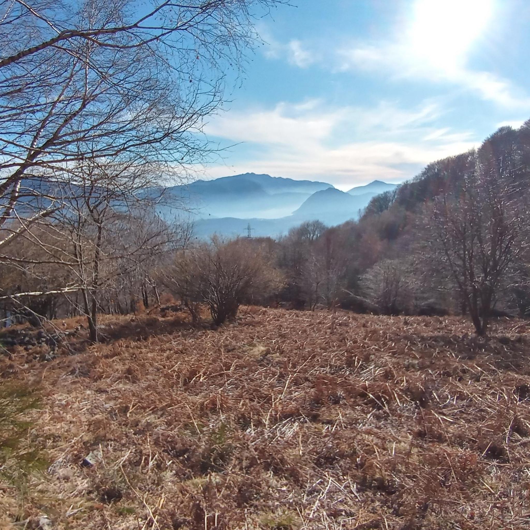
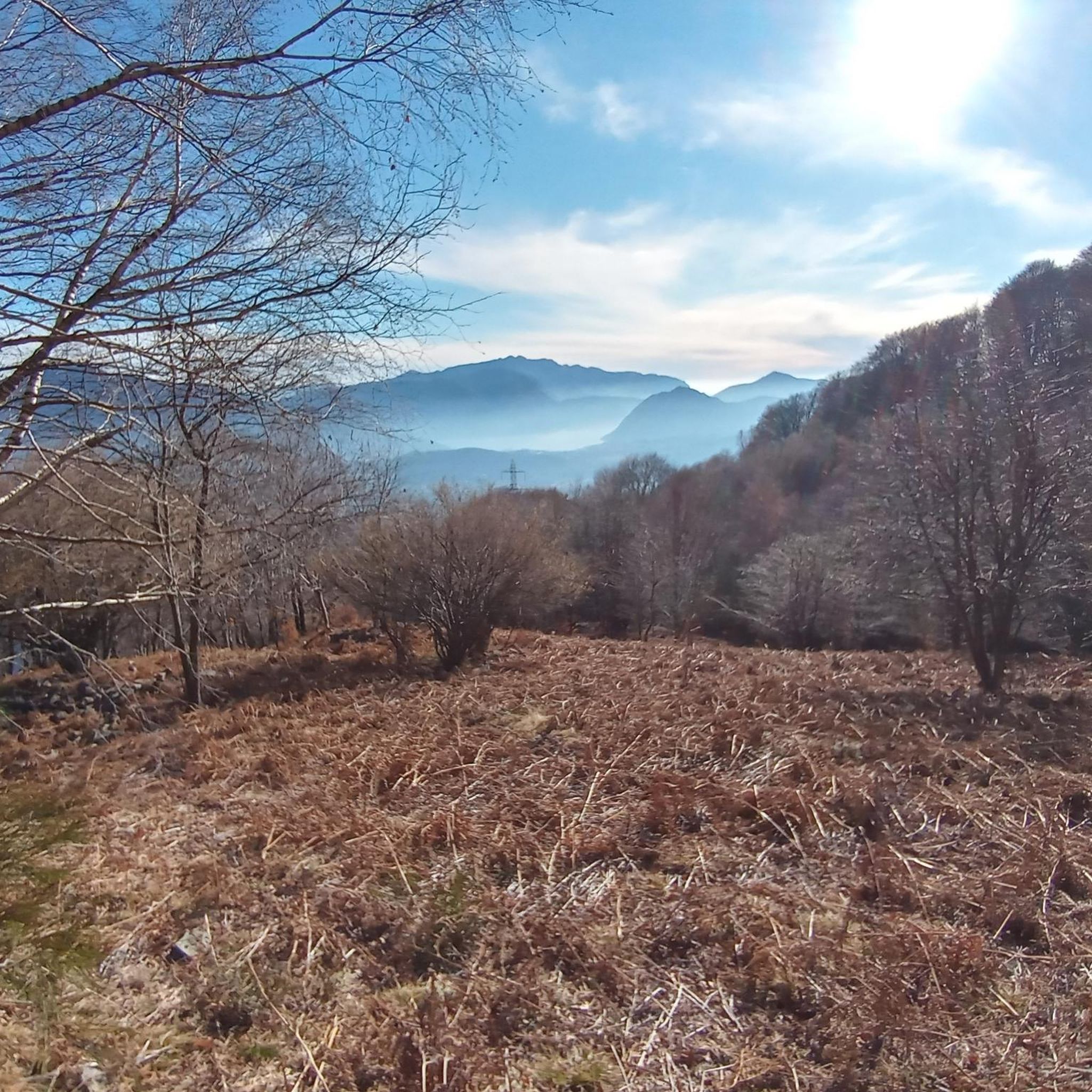
Excellent view of the Southern Alps, as far as Lake Maggiore and Lake Lugano. You can see Bellinzona and Locarno
0
0
Magnificent summit with 360 degree panorama.
8
0


Here you are at 1,260 meters above sea level and can enjoy a beautiful panorama of Lake Maggiore and Lake Lugano.
0
0
Frequently Asked Questions
What are some prominent mountain peaks accessible from Torricella-Taverne?
While Torricella-Taverne itself is surrounded by forested landscapes, the region offers access to several notable peaks. These include Monte Tamaro, known for its extensive views, and Monte Lema, situated on the border between Italy and Switzerland. Other accessible peaks in the vicinity include Monte Ferraro Summit and Monte Induno in the Alto Malcantone area.
Which peaks offer the best panoramic views around Torricella-Taverne?
For breathtaking panoramic views, consider visiting View from Monte San Salvatore, which provides magnificent vistas of Lake Lugano and the Ticino Alps. Monte Tamaro also offers a spectacular 360-degree panorama, where on a clear day, you can see both Lago Maggiore and the Dufourspitze. Additionally, the Cima di Medeglia Summit Cross, despite its relatively lower altitude, provides an overwhelming panoramic view.
Are there challenging mountain hikes in the area?
Yes, the region offers several challenging hikes. The Monte Ferraro Summit, accessible from Alto Malcantone, is part of a demanding loop hike requiring good fitness and alpine experience. Another example is the 'Sentiero degli alpeggi,' an 18 km route with a 910m elevation gain, taking approximately 6 hours and 32 minutes to complete. Many mountain biking routes in the area, such as the 'Monte Bar Loop' or 'Motto della Croce Viewpoint – Monte Bar Hut loop from Taverne-Torricella,' are also rated as difficult.
What are some family-friendly mountain experiences near Torricella-Taverne?
The View from Monte San Salvatore is considered family-friendly and can be reached via shady forest paths. The Cima di Medeglia Summit Cross is also listed as family-friendly, offering great views. While some routes are challenging, there are also more moderate walks through picturesque landscapes suitable for families.
Can I find historical or cultural sites on the mountain peaks?
Yes, for a unique cultural experience, visit Saint Mary of the Angels church on Monte Tamaro. Designed by world-famous architect Mario Botta, it's a masterpiece of contemporary architecture. The View from Monte San Salvatore also has historical significance, often referred to as 'Switzerland's Sugarloaf Mountain'.
What kind of natural features can I expect to see on these mountains?
You can expect diverse natural beauty, including extensive chestnut woods around Monte Induno. The area features numerous viewpoints offering spectacular views of Lake Lugano and the Swiss Alps. Some trails also lead to natural attractions like a canyon with a small waterfall and a natural pool. The forested landscapes surrounding Torricella-Taverne provide a rich environment for experiencing local flora and fauna.
Are there opportunities for mountain biking or gravel biking near Torricella-Taverne?
Absolutely. The region offers extensive opportunities for both mountain biking and gravel biking. You can explore routes like the 'Old Porlezza Road – View of Lake Lugano loop from Sorengo' for gravel biking, or challenging MTB trails such as the 'Monte Bar Loop' or 'Monte Ceneri Summit – Church of Isone loop from Taverne-Torricella'. For more options, check out the Gravel biking around Torricella-Taverne guide and the MTB Trails around Torricella-Taverne guide.
What are some notable hiking routes in the region?
Beyond individual peaks, the area offers various hiking routes. The 'Sentiero degli alpeggi' is an 18 km hard loop hike. Another option is the 'San Michele Church in Arosio – Monte Ferraro Summit loop from Alto Malcantone,' which provides spectacular views. For more detailed hiking options, refer to the Mountain Hikes around Torricella-Taverne guide, which includes routes like 'Alpe di Neggia Pass – Summit of Mount Gambarogno loop'.
What do visitors particularly enjoy about the mountain peaks around Torricella-Taverne?
Visitors frequently praise the magnificent panoramic views, especially from spots like Monte San Salvatore and Monte Tamaro. The diverse terrain, offering everything from demanding ascents to picturesque walks, is also highly appreciated. The unique blend of natural beauty and cultural highlights, such as the Santa Maria degli Angeli church, adds to the appeal.
Are there any unique features or landmarks on these peaks?
Yes, Monte Lema is notable for its border stone, marking the separation between Italy and Switzerland. On Monte Tamaro, you'll find the modern architectural marvel of the Santa Maria degli Angeli church. The Cima di Medeglia Summit Cross is also a distinct landmark offering a 360-degree panorama.
What is the best time of year to hike the mountain peaks around Torricella-Taverne?
The best time to hike is generally during the warmer months, from spring to early autumn, when trails are clear of snow and weather conditions are most favorable. Summer offers shady forest paths, as noted for Monte San Salvatore. Always check local weather and trail conditions before heading out, especially for higher or more challenging routes.
Are there any moderate or beginner-friendly mountain routes?
While many routes are challenging, there are also moderate options available. For instance, some of the mountain hikes listed in the Mountain Hikes around Torricella-Taverne guide, such as 'Alpe di Neggia Pass (1,395 m) – Summit of Mount Gambarogno loop from Monte Gambarogno', are rated as moderate. The region offers diverse experiences, including more moderate walks through picturesque landscapes.
Can I find circular hiking routes around Torricella-Taverne's peaks?
Yes, there are several circular hiking routes. The Monte Ferraro Summit is part of a challenging loop hike accessible from Alto Malcantone. Another example is the 'Sentiero degli alpeggi,' an 18 km loop. The Mountain Hikes around Torricella-Taverne guide lists various loop options, including 'Alpe di Neggia Pass (1,395 m) – Summit of Mount Gambarogno loop'.
Most popular routes around Torricella-Taverne
Most popular attractions around Torricella-Taverne

Get inspired with the komoot mobile app


Explore more
See even more amazing summits around Torricella-Taverne with these guides:
