Top 7 Mountain Passes around Ruppertsberg
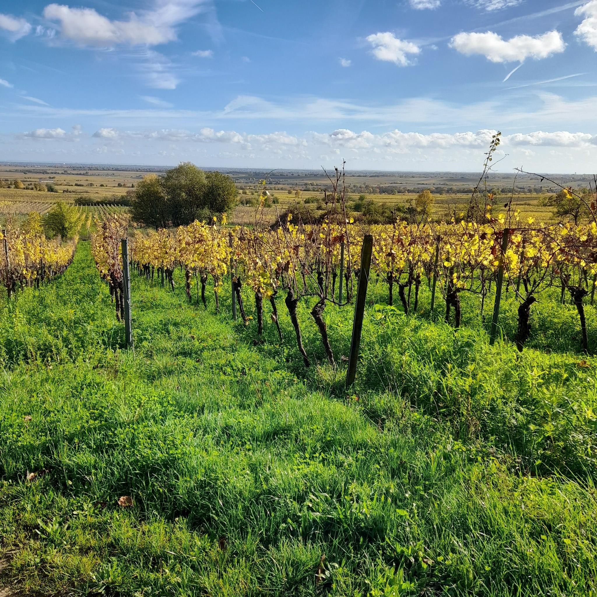
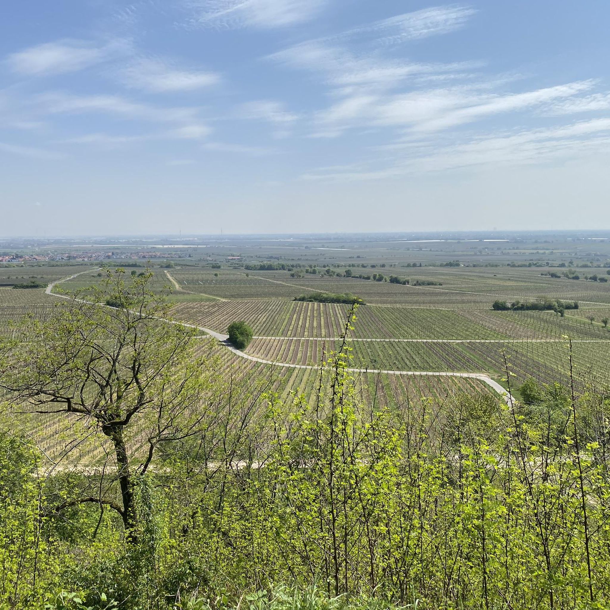
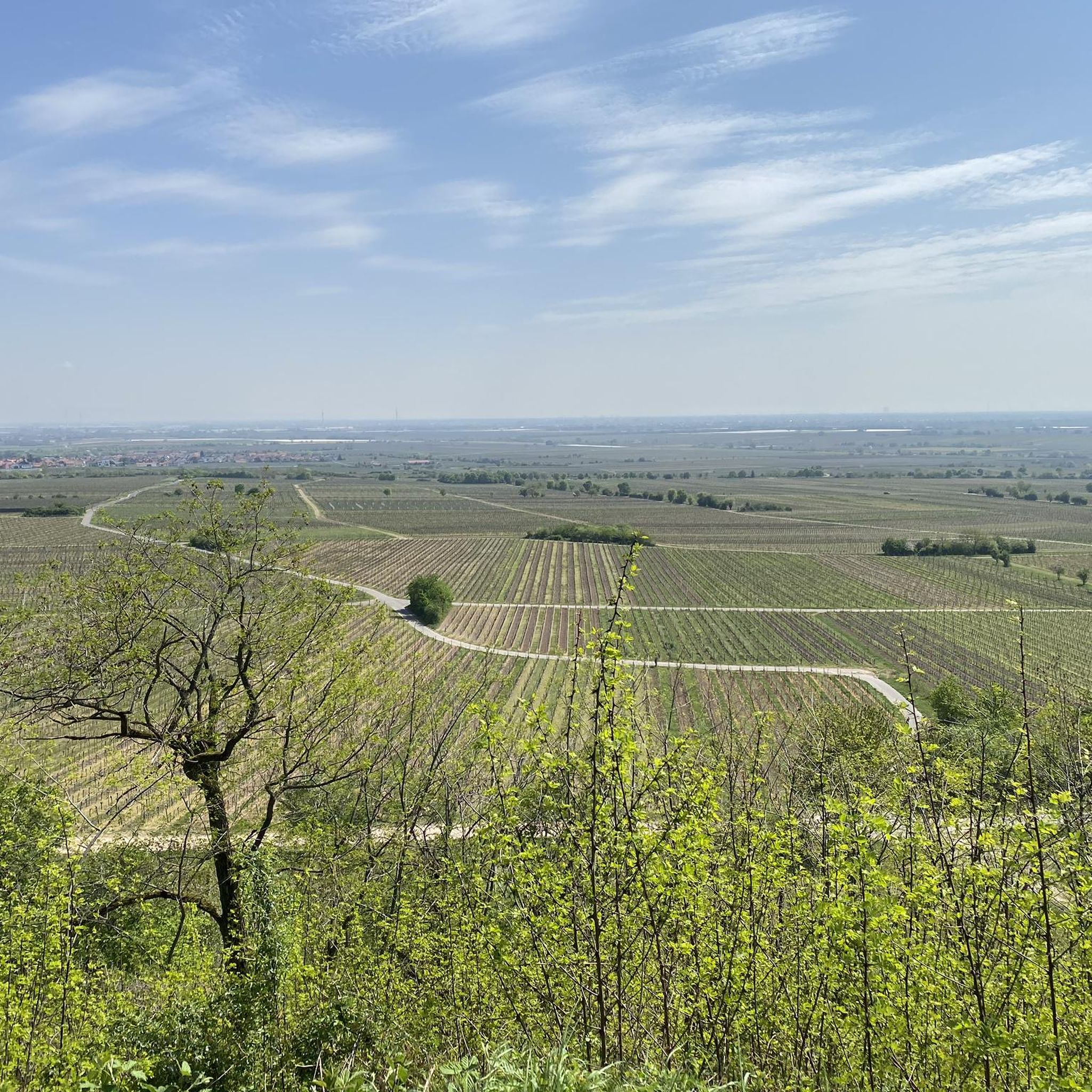
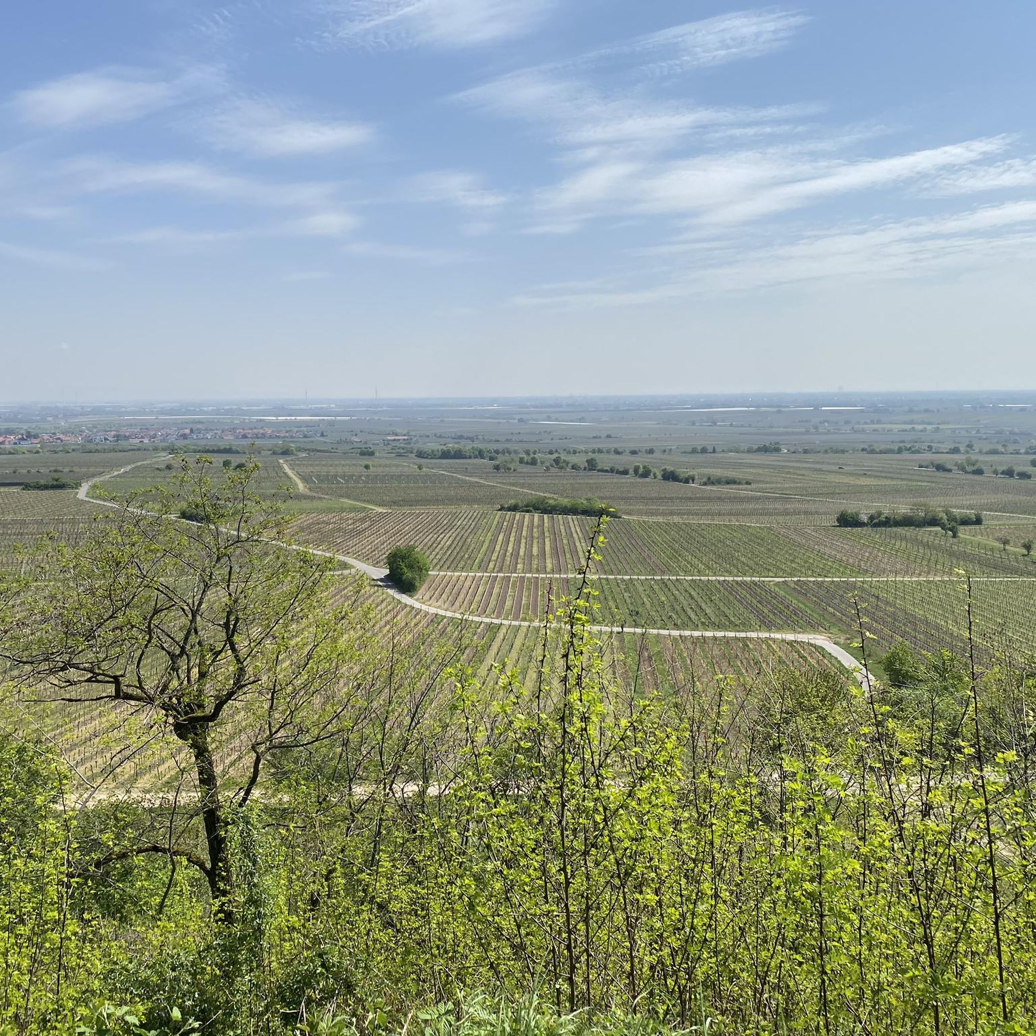
Best mountain passes around Ruppertsberg are characterized by rolling hills, vineyards, and scenic routes within the Rhine-Neckar Metropolitan Region of Rhineland-Palatinate, Germany. The area extends into the Haardt, part of the Palatinate Forest, offering elevated terrain. While not featuring traditional high-altitude mountain passes, the region provides numerous paths for hiking and cycling. These routes offer views of the Rhine plain and the surrounding Palatinate Forest.
Best mountain passes around Ruppertsberg
- The most popular mountain passes is Kalmithöhenstraße Upper Junction,…
Last updated: October 11, 2026
Hahnenschritt Pass parking area (565 m)
Highlight • Parking
Translated by Google •
Tip by

Rotsteig Pass (340 m)
Highlight • Mountain Pass
Translated by Google •
Tip by

Sign up now to discover places like this
Get recommendations on the best single tracks, peaks, & plenty of other exciting outdoor places.
Kalmithöhenstraße Upper Junction
Highlight • Mountain Pass
Translated by Google •
Tip by

Knoppenweth Saddle (450 m)
Highlight • Mountain Pass
Translated by Google •
Tip by

Totenkopfstraße Descent
Highlight (Segment) • Mountain Pass
Translated by Google •
Tip by

Sign up for free to discover even more mountain passes around Ruppertsberg.
Already have an account?
Start today with a free account
Your next adventure awaits.
Tips from the Community

Anyone who has made it this far can and should continue the rest of the way to the summit 👍. Otherwise, head towards Maikammer, St. Martin or Elmstein... the agony of choice
1
1

Nice descent on good road surface.
1
3

You can take a “passport photo” here. However, you are not really at the summit and you don't have a view here either. The way to the Kalmit hut at the summit is not far.
3
0
Here is the decision to stay on the road or drive to the Kalmit summit. Access to this can only be enjoyed to a limited extent by racing bike.
3
0
The majority of the route is part of the Totenkopfstraße (Skull Road). The Totenkopfstraße (Skull Road) is a 13.6 km long mountain pass road in the Palatinate Forest in the Rhineland-Palatinate districts of Southern Wine Route and Bad Dürkheim.
4
0

Here you can still decide whether you want to go up to Kalmit or continue on Totenkopfstrasse.
2
0

The Knoppenweth (hist. Waldweide) is a mountain saddle between Stabenberg and Mittelberg. The historic donkey path passes the Knoppenweth.
5
1

One of the numerous crossroads in the Palatinate Forest
4
1
Frequently Asked Questions
What kind of mountain passes can I expect around Ruppertsberg?
The region around Ruppertsberg is characterized by rolling hills, vineyards, and scenic routes within the Rhine-Neckar Metropolitan Region. While it doesn't feature traditional high-altitude mountain passes, you'll find elevated terrain within the Haardt and Palatinate Forest, offering numerous paths for hiking and cycling with picturesque views of the Rhine plain.
Are there any viewpoints or scenic spots on these routes?
Yes, many of the routes and elevated areas offer excellent viewpoints. For instance, the Kalmithöhenstraße Upper Junction is at approximately 600 m above sea level and provides routes to the Kalmit peak. The Lindemannsruhe Forest Inn area is also known for its scenic setting and is a starting point for trails to the Bismarck Tower, which offers great views.
What outdoor activities can I do near the mountain passes around Ruppertsberg?
The area is ideal for various outdoor activities. You can enjoy extensive hiking, cycling, and mountain biking. For hiking, explore routes like the 'Tree with Rest Bench – Wavy benches at Marlachwiesen loop' or 'View of the Rhine Plain – Deidesheimer Hut loop'. Cyclists can try routes such as 'Maximilian Street, Speyer – View of Speyer Cathedral loop'. Mountain bikers have options like 'Three Oaks Trail – Pechstein Trail loop'. You can find more details on these activities in the respective guides: Hiking around Ruppertsberg, Cycling around Ruppertsberg, and MTB Trails around Ruppertsberg.
Are there family-friendly options for exploring the area?
Absolutely. Several spots are noted as family-friendly. The Lindemannsruhe Forest Inn is a great destination with facilities and a restaurant, making it suitable for families. The Hahnenschritt Pass parking area is also considered family-friendly and offers a good starting point for various hikes.
Where can I find parking when visiting these areas?
There are several parking options available. The Lindemannsruhe Forest Inn has a large parking lot, though it can get crowded on weekends. The Hahnenschritt Pass parking area is another excellent starting point with parking facilities. For the Rotsteig Pass, be aware that parking lots can experience heavy traffic on sunny days.
What is the best time of year to visit Ruppertsberg for outdoor activities?
The region's rolling hills and vineyards are beautiful throughout the warmer months, from spring to autumn, offering pleasant conditions for hiking and cycling. Spring brings blooming vineyards, while autumn showcases vibrant fall foliage. While some routes may be accessible in winter, the primary attractions are best enjoyed when the weather is mild.
Are there places to eat or get refreshments near the routes?
Yes, you'll find options for refreshments. The Lindemannsruhe Forest Inn is a recommended restaurant known for its 'Palatinate hut food' and changing daily specials. It's a popular spot for visitors to relax and refuel after exploring the trails.
How difficult are the trails and routes around Ruppertsberg?
The routes around Ruppertsberg generally feature intermediate climbs and forest trails. While not high-altitude mountain passes, they offer enjoyable challenges. For example, the climb to Rotsteig Pass is noted as very nice to drive or cycle. The Kalmithöhenstraße Upper Junction involves a steady but moderate incline, which can be exhausting for cyclists.
Can I bring my dog on the trails?
While specific rules for dogs on every trail are not detailed, the Palatinate Forest generally welcomes dogs, often requiring them to be on a leash in certain areas or during specific seasons. It's always best to check local signage or regulations for the specific trail you plan to visit to ensure a pleasant experience for everyone.
Are there any historical or cultural points of interest along these routes?
The region is rich in history, particularly related to winegrowing. While the mountain passes themselves are primarily natural features, the Lindemannsruhe Forest Inn has historical significance, originally built as a forester's lodge in 1927 and named after former head forester Lindemann. Nearby, you can find the Bismarck Tower on the Peterskopf, a quarter-century-old landmark accessible via hiking trails from Lindemannsruhe.
How can I reach the trailheads using public transport?
Public transport options are available to some key starting points. For instance, the Lindemannsruhe Forest Inn has a bus connection (line 489) from DÜW train station, making it accessible without a car. For other trailheads, it's advisable to check local bus routes connecting from Ruppertsberg or nearby towns to the specific starting points of your chosen routes.
What makes the <a href="https://www.komoot.com/highlight/3977950" target="_blank" rel="noopener">Kalmithöhenstraße Upper Junction</a> a notable spot?
The Kalmithöhenstraße Upper Junction is a significant crossroads at approximately 600 meters above sea level. From this point, you can choose different directions: head to the Kalmit peak, venture towards the Elmstein Valley, or go west towards Vorderpfalz / Maikammer. It's a popular spot for cyclists, offering a steady but moderate incline.
Most popular routes around Ruppertsberg
Most popular attractions around Ruppertsberg

Get inspired with the komoot mobile app


Explore more
See even more epic mountain passes by checking out these guides around Ruppertsberg:
