Top 19 Natural Monuments around Dudeldorf
Best natural monuments around Dudeldorf are found within the Eifel region, offering diverse natural attractions. The area features scenic river valleys like the Kyll and Salm, alongside unique geological formations. Dudeldorf's surroundings provide opportunities to explore natural landmarks and historical sites integrated into the landscape. This region is characterized by its varied terrain, including volcanic landscapes, forests, and waterways.
Best natural monuments around Dudeldorf
- The most popular natural monuments is Tanzlay Waterfall and Rock Formations, a waterfall and gorge with challenging sections. This site features a trail-like path suitable for sure-footed hikers, offering impressive rock formations.
- Another must-see spot is Hüttingen Waterfall, a picturesque waterfall located in the middle of Hüttingen. This natural monument is situated next to the church and provides a scenic location for visitors.
- Visitors also love Mariengrotte Albach Waterfall, a grotto with a small waterfall in an idyllic gorge. This site is known in the region and can be accessed via a short set of stairs from the bike path.
- Dudeldorf is known for its waterfalls, rock formations, and historical sites integrated into the natural landscape. The area offers a variety of natural monuments to see and explore, from geological features to culturally significant natural landmarks.
- The natural monuments around Dudeldorf are appreciated by the komoot community, with 89 upvotes and 87 photos contributed by visitors.
Last updated: September 1, 2026
Tanzlay Waterfall and Rock Formations
Highlight • Waterfall
Translated by Google •
Tip by

Hüttingen Waterfall
Highlight • Waterfall
After a thunderstorm or during the snowmelt the stream can lead a lot of water.
Translated by Google •
Tip by

Sign up now to discover places like this
Get recommendations on the best single tracks, peaks, & plenty of other exciting outdoor places.
Sign up for free
Mariengrotte Albach Waterfall
Highlight • Religious Site
Translated by Google •
Tip by

Werdelstein
Highlight • Natural Monument
Der Werdelstein bei Bergweiler ragt als riesiger, isolierter, zum Teil mit Farn bewachsener Granitfelsblock aus dem Waldboden heraus und ist umringt von Bäumen, die die schöne Aussicht versperren. Er ist 2 Meter hoch und hat eine Grundfläche von über 2 qm. An exponierter Stelle hoch über dem Tal steht der Stein am uralten Weg von Bergweiler nach Dreis wiederum genau dort, wo die Banngrenze von Dreis den Weg kreuzt. Sehr wahrscheinlich ist der Stein identisch mit dem immensis lapis, der 1173 genannt wird (Kunstdenkmäler der Rheinprovinz 5.840). Der zerfurchte Stein sieht aus wie von Natur gewachsen und wirkt trotzdem wie ein in die Landschaft gestellter Fremdkörper. Es handelt sich auch hier um einen uralten Grenz- und Kultstein, der sage nach ein Opferstein. Folgende Namen werden dem Stein zugeordnet: Wurtelst_ein, Werdelstein und Wirtelstein.
Der Begriff Wirtel (=Scheibe oder Kugel aus Ton, Stein oder Metall, die als Schwungrad für die Handspindel diente und seit der Jungsteinzeit verwendet wurde) bezieht sich der Sage nach auf eine Spinnerin, die im Felsen sitzt und spinnt. Sehr amüsant ist auch das Mundartgedicht D'Pitta von Berchweiler un dat Drääsa Frai'chen von Eduard Eltges, worin eine nächtliche Begegnung mit einem Geist am Werdelstein geschildert wird, eine richtige Spukgeschichte.
Der Werdelstein befindet sich von den 3 Gemeinden Dreis, Bruch und Bergweiler gleich weit entfernt. Man erzählt sich dass wenn der Klang des Glockengeläut aller drei Kirchen gleichzeitig am Werdelstein eintrifft, sich dreimal um seine eigene Achse dreht.
In der Nähe des Werdelstein befindet sich ein Stollen im Felsen, das Erzloch. Hierbei handelt es sich um den Eingang zur ehemaligen Erzgrube, wo früher nach erzhaltigem Gestein gegraben wurde, also wieder ein Anzeichen einer sehr frühen Besiedlung
Tip by

Barrow Group Im Friedbüsch
Highlight (Segment) • Historical Site
Schleidweiler, Gemeinde Zemmer
Beschreibung
Fundstelle 1575
Ausgedehntes Grabhügelfeld der Stufen Hunsrück-Eifel-Kultur II A3 und Hunsrück-Eifel-Kultur II B, z. T. mit Wintersdorfer Fußschalen und innenverzierten Schalen Braubacher Art. Die Nekropole erstreckt sich auf einem langgezogenen Höhenrücken über eine Strecke von ca. 1000 m in Ost-West-Richtung.
Die Lage von 49 Grabhügeln ist dokumentiert, eine unbestimmte Zahl weiterer Tumuli wird dem mittelalterlichen und neuzeitlichen Erzabbau zum Opfer gefallen sein. Ein Dutzend der Hügel wurde 1934 und 1940 vom Rheinischen Landesmuseum Trier planmäßig ausgegraben. Es handelt sich überwiegend um Scheiterhaufengräber und Brandgräber vom Typ Koosbüsch mit bescheidenen Beigaben. Der Durchmesser der Hügel schwankt zwischen 9 und 30 m. Bemerkenswert sind Pfosten und Grabstrukturen unter den Hügelaufschüttungen, die von hölzernen Einbauten stammen und mit dem Bestattungsvorgang in Zusammenhang stehen dürften. Die östliche Hügelgruppe der Nekropole grenzt unmittelbar an ein römisches Brandgräberfeld ("Dalheid").
Haffner 1976, 388ff.
in: Römisch-Germanische Forschungen, Bd. 63. Eisenzeitlicher Kulturwandel und Romanisierung im Mosel-Eifel-Raum. Die keltisch-römische Siedlung von Wallendorf und ihr archäologisches Umfeld. Römisch-Germanische Kommission des Deutschen Archäologischen Instituts Frankfurt a. M. Fundstellenkatalog von: Dirk L. Krausse unter Mitarbeit von Antje Fischbock. 2006
Einordnung
Kategorie:
Archäologische Denkmale / Bestattungen / Grabhügel
Zeit:
Ende des 7. Jh. vor Chr. bis ca. 300 vor Chr.
Epoche:
Hunsrück-Eifel-Kultur
Lage
Geographische Koordinaten (WGS 1984) in Dezimalgrad:
lon: 6.68221
lat: 49.87516
Lagequalität der Koordinaten: Genau
Flurname: Im Friedbüsch
Internet
dainst.org/medien/de/krausse.pdf
Datenquellen
- Fundstellenkatalog: Die keltisch-römische Siedlung von Wallendorf und ihr archäologisches Umfeld. Dirk L. Krausse unter Mitarbeit von Antje Fischbock, 2006.
- Dirk Krausse: Eisenzeitlicher Kulturwandel und Romanisierung im Mosel-Eifel-Raum. Verlag: Philipp von Zabern, Mainz, 2006. Beilage 1.
Stand
Letzte Bearbeitung: 29.07.2016
Interne ID: 41165
ObjektURL: kulturdb.de/einobjekt.php?id=41165
ObjektURL als Mail versenden
Standort
Grabhügel
×
+
−
Leaflet | © OpenStreetMap contributors
Als Ziel in Google Map
Auf Topographischer Karte
Auf Luftbild
Auf Preußischer Kartenaufnahme (1843-1873)
Auf Kartenaufnahme der Rheinlande (1803-1820)
© Datenbank der Kulturgüter in der Region Trier 2020 Datenschutz
Tip by

Sign up for free to discover even more natural monuments around Dudeldorf.
Sign up for free
Already have an account?
Start today with a free account
Your next adventure awaits.
Login or Signup
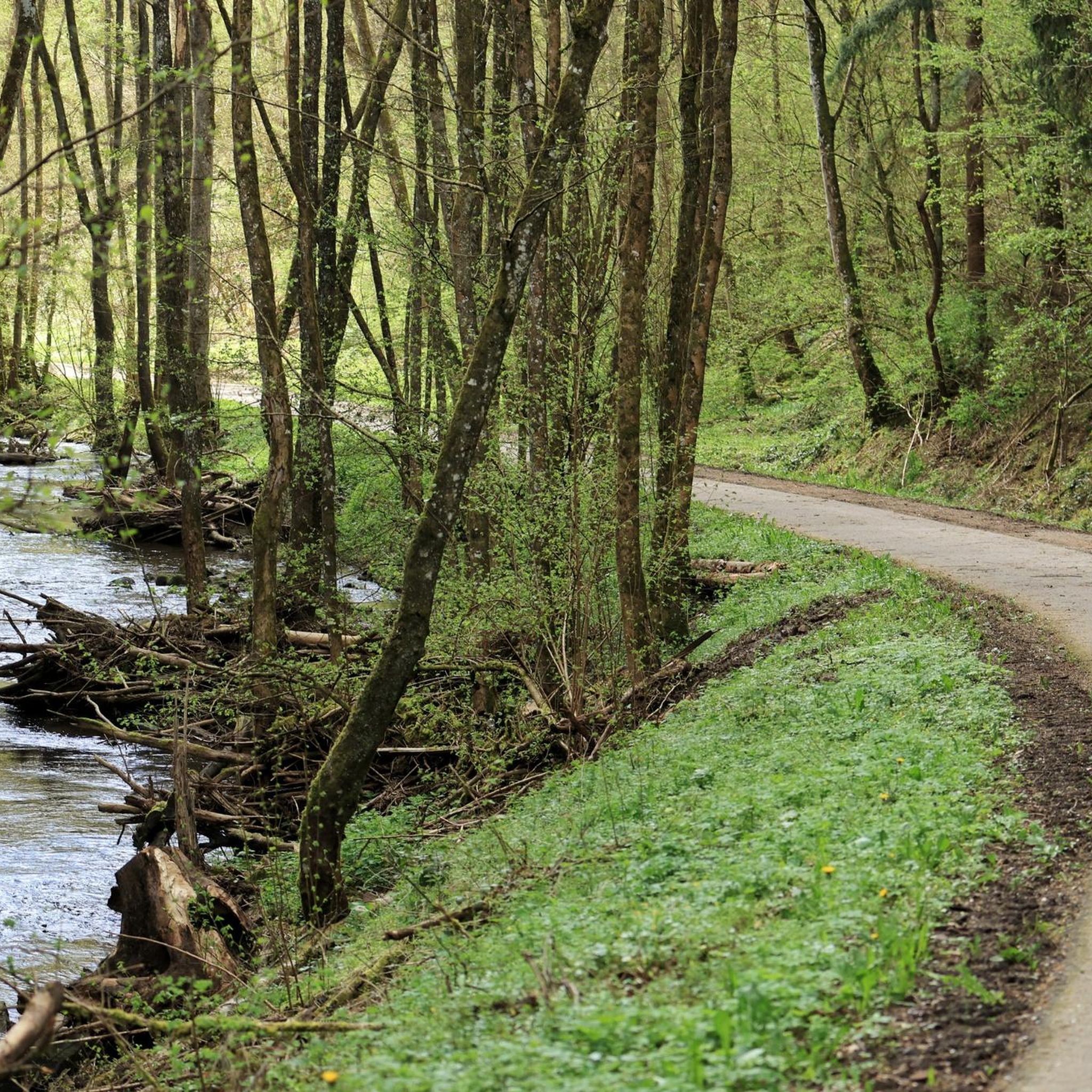
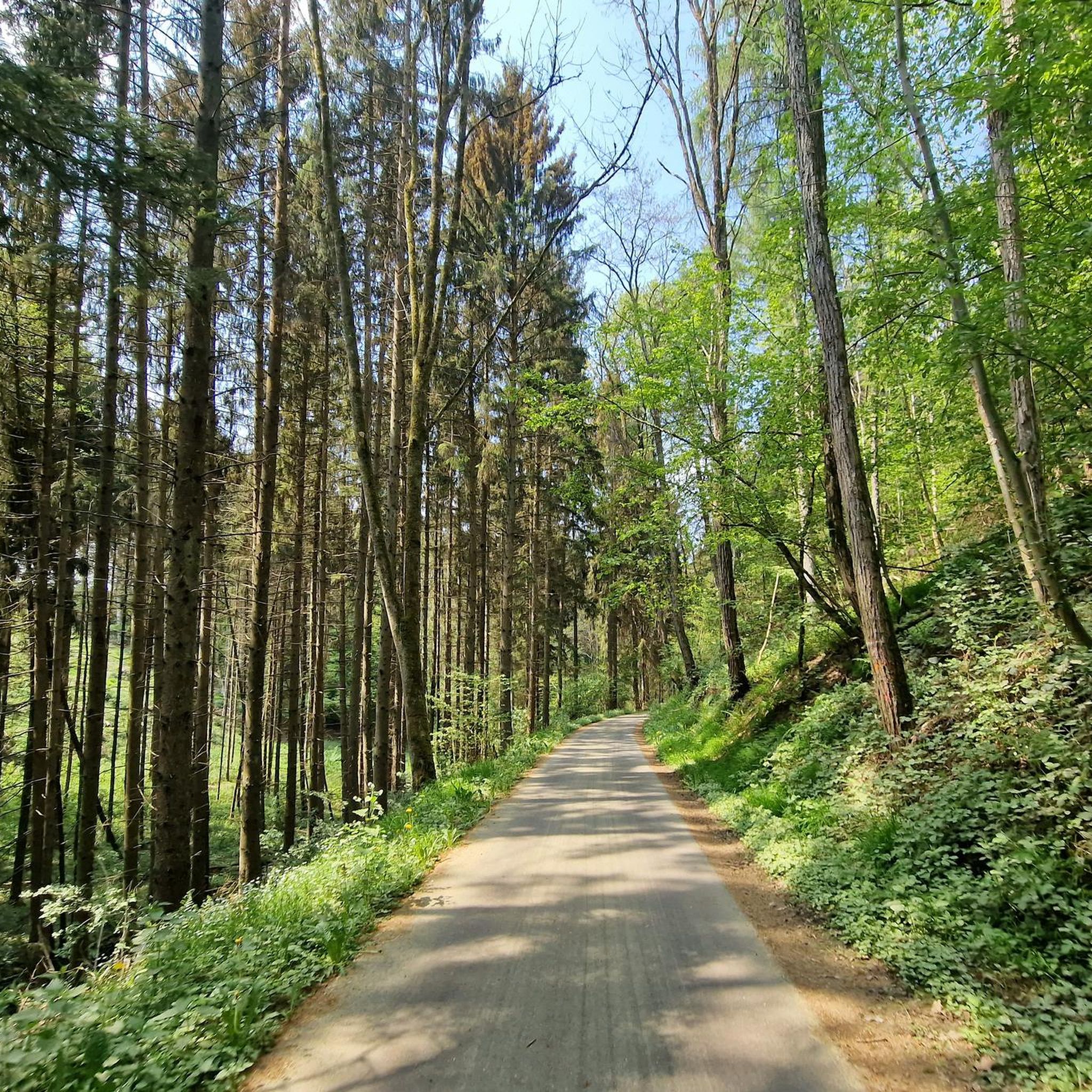
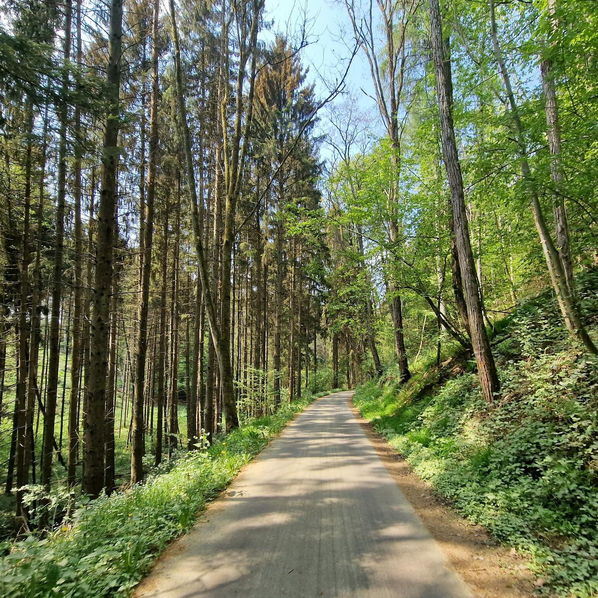
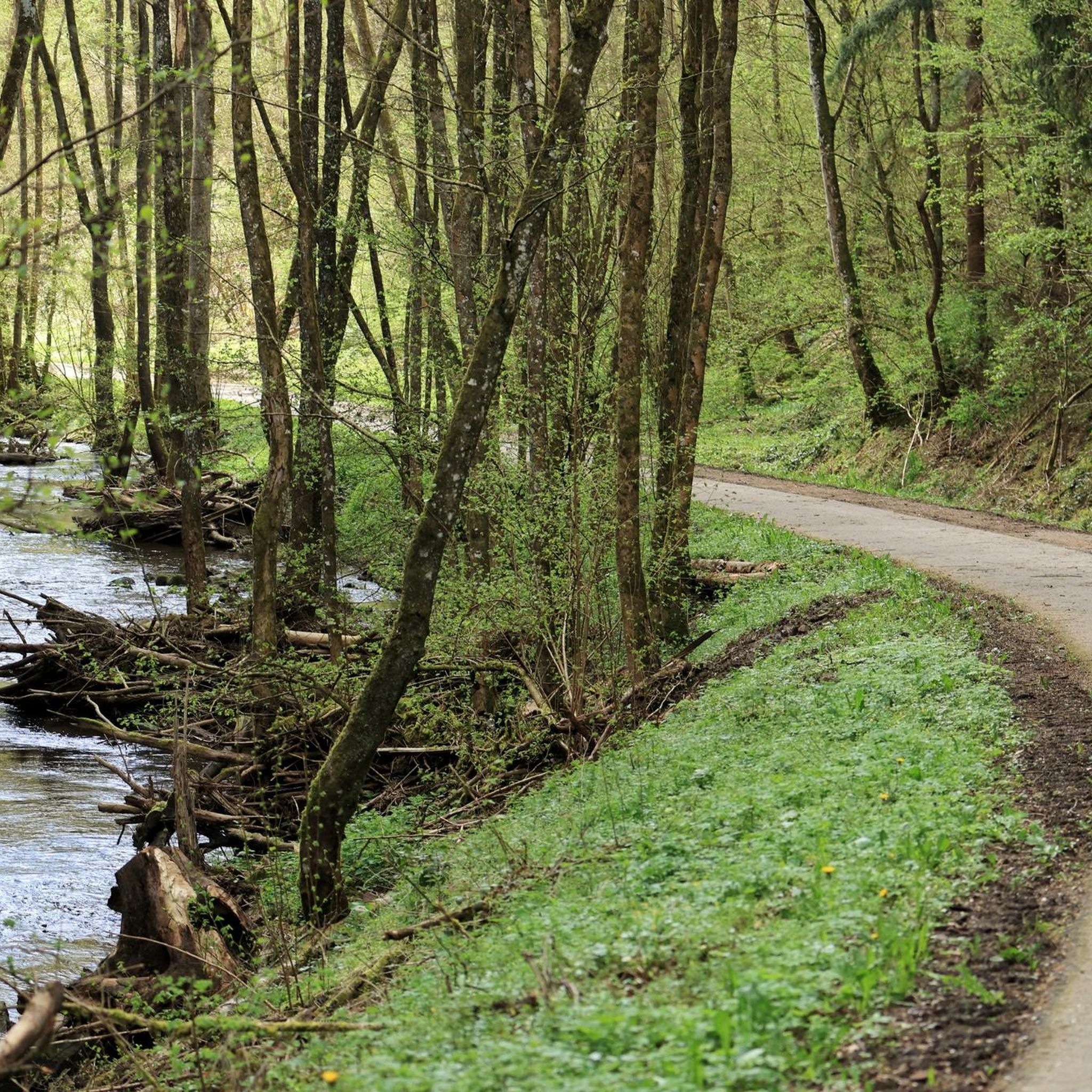
Tips from the Community

23.08.2026 It is still worth seeing. Down by the water there is still a box with candles. Make a small contribution and place a candle on the altar. The small bridge is broken, not passable. The path from the road is not easy, risk of slipping on the stones. A quiet place during the week, the place has its effect if you manage to find peace. Spend some time, let the place work its magic, and you will want to come back. I wish that something would be renewed here.
0
0

This impressive waterfall is located just below the Mareingrotte.
3
0
The beautiful Mariengrotte (Grotto of the Virgin Mary) with the Albach waterfall is certainly one of the highlights of the 11th stage of the Felsenweg (Rock Trail).
2
0
In the immediate vicinity of the Mariengrotte (Grotto of St. Mary) we find this beautiful waterfall of the Albach River. A truly worthwhile photo opportunity.
3
0

Beautiful and wildly romantic, too bad there's no waterfall because of the drought...can someone turn on the tap? 😉
1
0

The stream is mainly formed from the wastewater from the Bitburg sewage treatment plant. Odor nuisance cannot be ruled out under certain circumstances.
2
0

The path was restored and reopened in September 2023.
3
0

Looking for a waterfall with a high viaduct, passable for buses in the Eifel!
0
0
Frequently Asked Questions
What kind of natural features can I expect to see around Dudeldorf?
The region around Dudeldorf, particularly within the Eifel, offers a diverse range of natural features. You can explore scenic river valleys like the Kyll and Salm, discover unique geological formations such as the Tanzlay Waterfall and Rock Formations, and encounter picturesque waterfalls like the Hüttingen Waterfall. The area also features ancient volcanic landscapes and rugged rock formations.
Are there any family-friendly natural monuments near Dudeldorf?
Yes, several natural monuments are suitable for families. The Hüttingen Waterfall is a picturesque and family-friendly spot located right in the village of Hüttingen. Another accessible option is the Mariengrotte Albach Waterfall, which can be reached via a short set of stairs from the bike path, offering an idyllic setting.
What outdoor activities can I do near the natural monuments?
The area around Dudeldorf is excellent for various outdoor activities. You can enjoy cycling along the scenic Kyll Valley Cycle Path, which stretches for over 120 km through diverse natural landscapes. For hiking, there are numerous trails, including the tranquil Mill Trail in the Upper Salm Valley. You can also find dedicated guides for MTB Trails around Dudeldorf, Running Trails around Dudeldorf, and Road Cycling Routes around Dudeldorf.
Are there any natural monuments with historical significance?
Absolutely. The region beautifully integrates natural beauty with historical insights. The Werdelstein near Bergweiler is an isolated rock block with a history as an ancient border and cult stone, and nearby you can find the 'Erzloch,' an old ore mine entrance. The Barrow Group Im Friedbüsch features ancient burial mounds from the Hunsrück-Eifel-Kultur. Further afield, the 'Opferaltar' in Bollendorf is a natural rock formation known for its prehistoric use as a sacrificial stone.
What is the best time to visit the natural monuments around Dudeldorf?
The Eifel region offers beauty year-round. Spring and autumn are ideal for hiking and cycling, with pleasant temperatures and vibrant foliage. Summer provides lush green landscapes and opportunities to enjoy waterfalls, while the Dechentunnel along the Kyll Cycle Path offers a cool respite. Even in winter, some trails can be explored, though conditions might be more challenging, especially around sites like the Tanzlay Waterfall and Rock Formations.
Are there any challenging natural monuments for experienced hikers?
Yes, for experienced and sure-footed hikers, the Tanzlay Waterfall and Rock Formations offers a more challenging experience. This site features a trail-like path with impressive rock formations and can be difficult when wet. It's recommended for those who are free from giddiness and comfortable with demanding terrain.
Can I reach any of the natural monuments by public transport?
While direct public transport to every single natural monument might be limited, the Kyll Valley Cycle Path is generally well-connected and accessible from various points in the region, including towns that may have public transport links. From the cycle path, some natural monuments like the Mariengrotte Albach Waterfall are easily reachable.
Are the natural monuments around Dudeldorf dog-friendly?
Many natural areas and trails in the Eifel region are dog-friendly, allowing you to explore with your canine companion. It's always advisable to keep dogs on a leash, especially in nature reserves or near wildlife, and to clean up after them. Specific rules may apply to certain protected areas, so checking local signage is recommended.
Where can I find viewpoints to enjoy the natural scenery?
The Eifel region is known for its scenic vistas. The Hüttingen Waterfall, for example, is considered a viewpoint. Additionally, the Kyll Valley Cycle Path and various hiking trails through the rolling hills and dense forests of the Salm Valley offer numerous opportunities for panoramic views of the diverse landscapes, including ancient volcanic formations and river valleys.
What do visitors enjoy most about the natural monuments near Dudeldorf?
Visitors frequently appreciate the diverse natural beauty and the blend of nature with historical elements. The impressive rock formations and challenging trails at Tanzlay are often highlighted. The picturesque setting of the Hüttingen Waterfall and the idyllic gorge of the Mariengrotte Albach Waterfall are also popular. The overall experience of immersing oneself in the 'wonderful nature' of the Eifel region is a common theme among visitors.
Are there any less crowded natural monuments for a peaceful experience?
While popular spots can attract visitors, the broader Eifel region offers many tranquil areas. Exploring the Mill Trail in the Upper Salm Valley, for instance, provides a peaceful hiking experience through lush forested areas and along the scenic Salm river. The Kyll Valley Cycle Path, despite its length, also has many sections where you can enjoy serene river landscapes away from crowds.
Are there any natural monuments that are particularly good for photography?
Many of the natural monuments offer excellent photographic opportunities. The Hüttingen Waterfall, situated next to a church, provides a picturesque scene. The Mariengrotte Albach Waterfall in its idyllic gorge is also very photogenic. For dramatic landscapes, the Tanzlay Waterfall and Rock Formations offers impressive geological features that make for striking images, especially after rainfall.
Most popular routes around Dudeldorf
Most popular attractions around Dudeldorf

Get inspired with the komoot mobile app


Explore more
Extend your search for the best caves by checking out these guides of the top ones around Dudeldorf:
