Top 16 Bike Parks around Dürrlauingen
Best bike parks around Dürrlauingen are found within the broader Swabia region, characterized by its diverse natural landscape including forests and river valleys. While Dürrlauingen itself does not host dedicated bike parks, the surrounding area offers various mountain biking opportunities. The region features a mix of natural trails and purpose-built sections, catering to different skill levels. This makes the area suitable for cyclists looking for varied terrain and natural features.
Best bike parks around Dürrlauingen
- The most popular bike parks…
Last updated: July 8, 2026
Indianerpfad Trail
Highlight (Segment) • Trail
Greetings Marcus
Translated by Google •
Tip by

Legoland Trail Exit Wooden Bridge
Highlight (Segment) • Bridge
Translated by Google •
Tip by

Sign up now to discover places like this
Get recommendations on the best single tracks, peaks, & plenty of other exciting outdoor places.
Sign up for free
Singletrack in the Danube Slopes and Floodplains between Leipheim and Offingen
Highlight • MTB Park
Translated by Google •
Tip by

Enduro Line
Highlight (Segment) • MTB Park
Translated by Google •
Tip by
Günztrail Hagenweide Singletrack
Highlight (Segment) • MTB Park
Greetings Marcus
Translated by Google •
Tip by
Sign up for free to discover even more bike parks around Dürrlauingen.
Sign up for free
Already have an account?
Start today with a free account
Your next adventure awaits.
Login or Signup
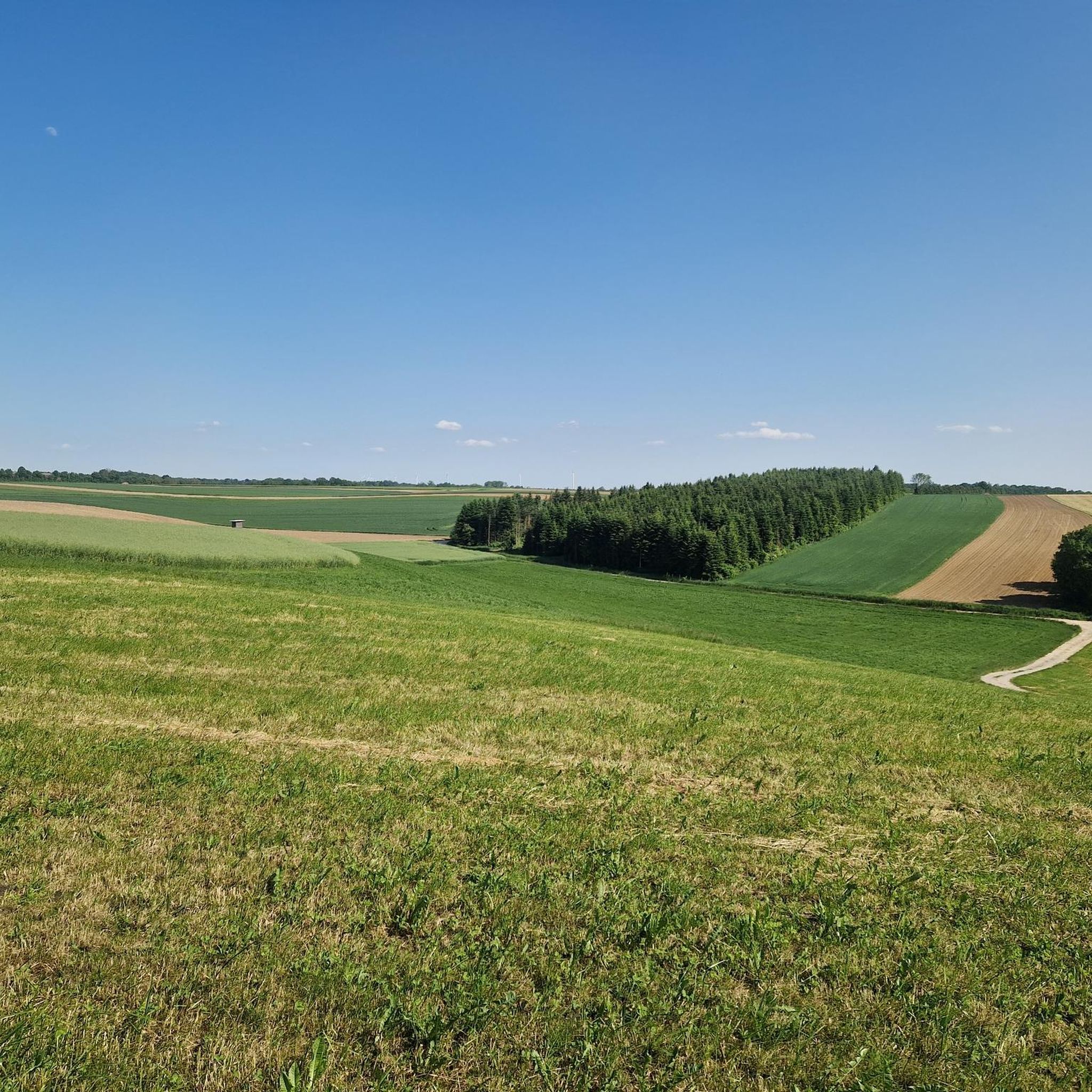
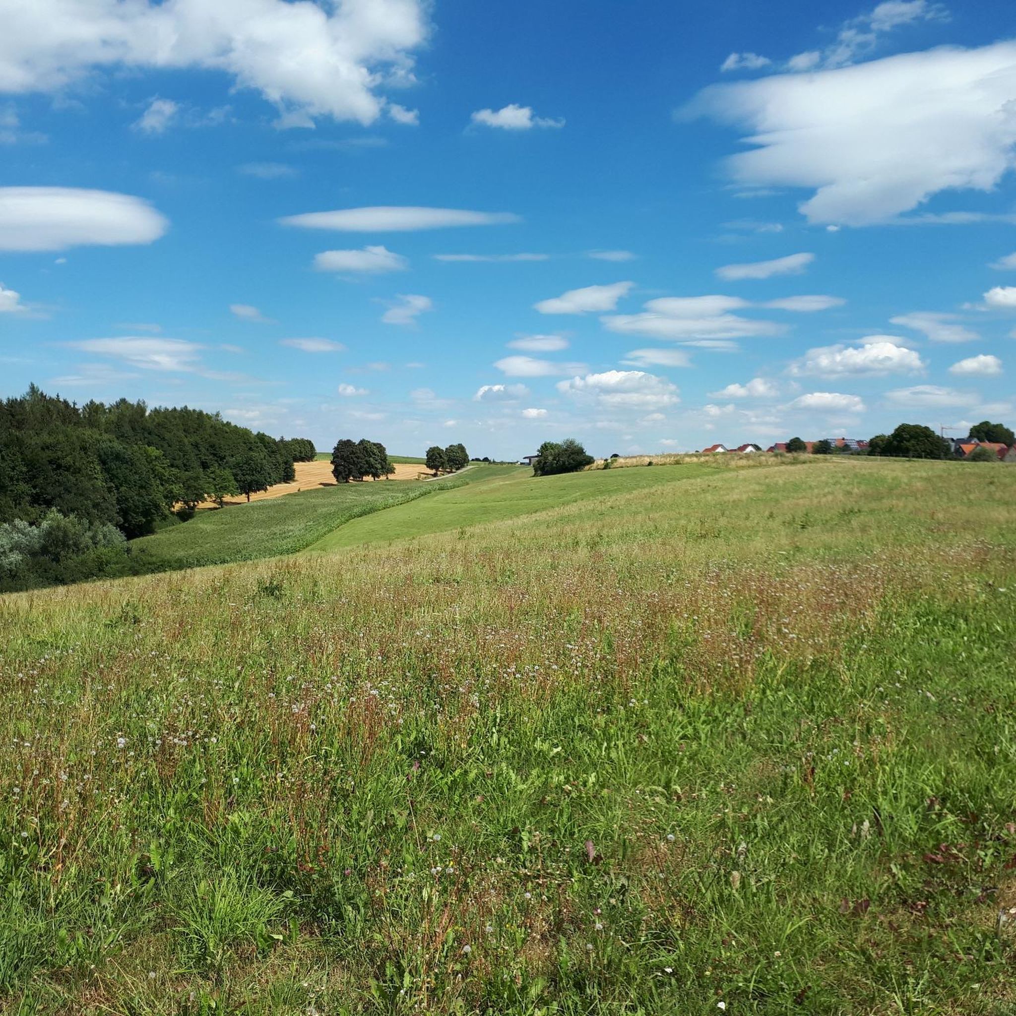
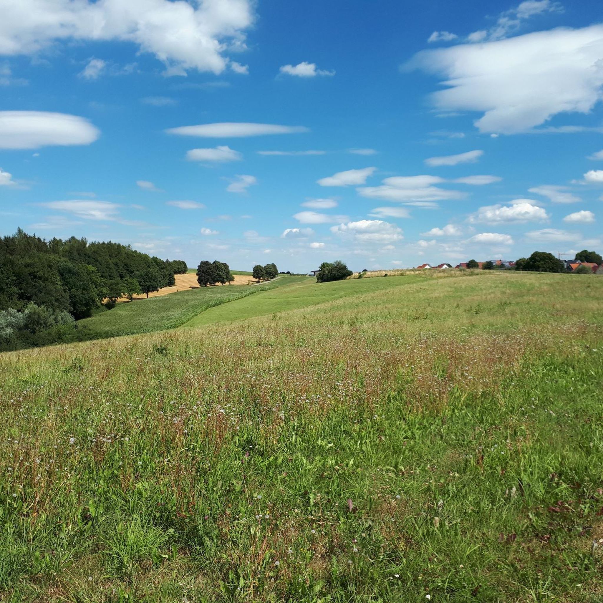
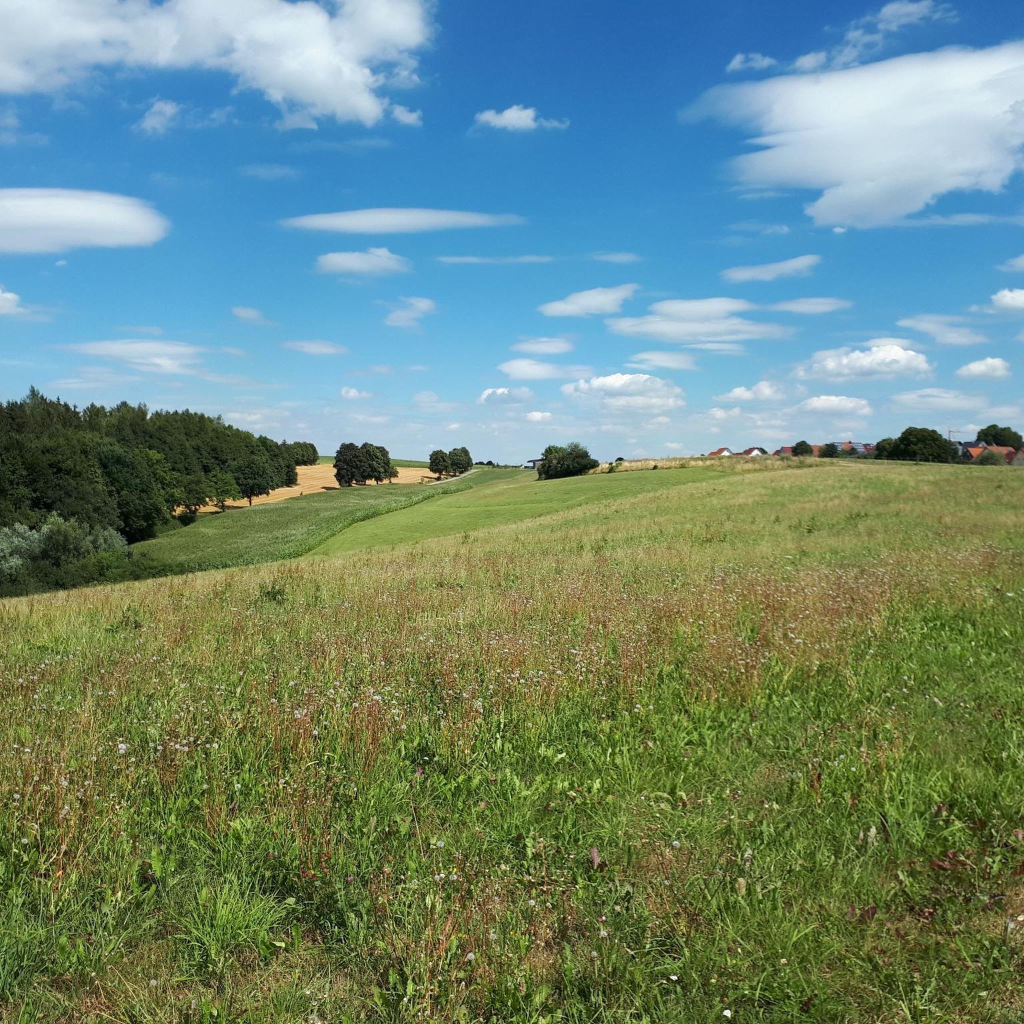

Tips from the Community

Very nice trail where you can really let loose
0
0
Short but nice trail through the forest where you can really let loose. Also suitable for beginners
1
0

Short, well-built trail with various curves. Good for practicing trail riding.
0
1

Not very long. The Enduro Line branches off from the Red Jumpline after the first jumps. First there is a very flat section with a few roots and small jumps, then a steeper section with tight curves (but flowable - no rear wheel adjustment required), then another sorung and then the route joins the red line again.
2
0

Short trail with roots, hairpin bends and small jumps.
2
0
The levels of the single trail scale: S0 - very easy: The easiest type of trail is characterized by gentle to moderate gradients, non-slip surfaces and wide curves. There are no special demands on driving technique to overcome it. S1 - easy: Here you can expect smaller obstacles such as roots or stones. The ground is partly unconsolidated and the curves become narrower, but without hairpin bends. The maximum gradient here is 40%. S2 - medium: The level of difficulty increases and larger stones and roots are to be expected. Rarely solid ground under the wheels and there are shallow steps or stairs. Tighter curves must also be taken regularly and the steepness can be up to 70%. S3 - difficult: In this category you are already moving in blocked terrain with larger boulders or longer root passages. Switchbacks and diagonal turns occur and you often have to expect loose ground. There are regular gradients of 70%. S4 - very difficult: It gets steep and really blocked. Long, demanding root passages and large boulders have to be overcome and loose scree is the order of the day. Switchbacks and steep ramps place special demands on the riding technique and there are steps where the chain ring comes up. S5 - extremely difficult: The upper end of the scale is characterized by heavily blocked terrain, counter climbs, loose ground with rubble, tight hairpin bends and high obstacles such as fallen trees - of course including steep slopes. There is little braking distance and MTB riding technique is put to the test.
3
0
The levels of the singletrack scale: S0 - very easy: The easiest type of trail is characterized by gentle to moderate gradients, non-slip surfaces and wide curves. There are no special demands on driving technique to overcome it. S1 - easy: Here you can expect smaller obstacles such as roots or stones. The ground is partly unconsolidated and the curves become narrower, but without any hairpin bends. The maximum gradient here is 40%. S2 - medium: The level of difficulty increases and larger stones and roots are to be expected. Rarely solid ground under the wheels and there are shallow steps or stairs. Tighter curves must also be taken regularly and the steepness can be up to 70%. S3 - difficult: In this category you are already moving in blocked terrain with larger boulders or longer root passages. Switchbacks and diagonal turns occur and you often have to expect loose ground. There are regular gradients of 70%. S4 - very difficult: It gets steep and really blocked. Long, demanding root passages and large boulders have to be overcome and loose scree is the order of the day. Hairpin bends and steep ramps place special demands on your riding technique and there are steps where the chainring comes into contact. S5 - extremely heavy: The upper end of the scale is characterized by heavily blocked terrain, counter climbs, loose ground with scree, narrow hairpin bends and high obstacles such as fallen trees - including, of course, steep gradients. There is little braking distance and the MTB riding technique is put to a tough test.
1
1
The levels of the singletrack scale: S0 - very easy: The easiest type of trail is characterized by gentle to moderate gradients, non-slip surfaces and wide curves. There are no special demands on driving technique to overcome it. S1 - easy: Here you can expect smaller obstacles such as roots or stones. The ground is partly unconsolidated and the curves become narrower, but without hairpin bends. The maximum gradient here is 40%. S2 - medium: The level of difficulty increases and larger stones and roots are to be expected. Rarely solid ground under the wheels and there are shallow steps or stairs. Tighter curves must also be taken regularly and the steepness can be up to 70%. S3 - difficult: In this category you are already moving in blocked terrain with larger boulders or longer root passages. Switchbacks and diagonal turns occur and you often have to expect loose ground. There are regular gradients of 70%. S4 - very difficult: It gets steep and really blocked. Long, demanding root passages and large boulders have to be overcome and loose scree is the order of the day. Hairpin bends and steep ramps place special demands on your riding technique and there are steps where the chainring comes into contact. S5 - extremely heavy: The upper end of the scale is characterized by heavily blocked terrain, counter climbs, loose ground with scree, narrow hairpin bends and high obstacles such as fallen trees - including steep gradients, of course. There is little braking distance and the MTB riding technique is put to a tough test.
1
0
Frequently Asked Questions
Are there dedicated bike parks directly in Dürrlauingen?
No, Dürrlauingen itself does not host dedicated bike parks. However, the broader Swabia region offers various mountain biking opportunities and specialized bike parks within a reasonable driving distance.
Which bike parks in the Swabia region are recommended for mountain biking?
For a comprehensive experience, consider Bikerpark Albstadt in the Swabian Alps, known for its maintained routes and varied difficulty levels. Closer to Dürrlauingen, the Biotop Trail Deuringen near Ulm offers a flowing trail with berms and jumping ramps. Harburg also provides a variety of mountain biking options with spectacular descents.
What kind of trails can I expect around Dürrlauingen?
The area around Dürrlauingen features a mix of natural singletracks, trails with jumps, and enduro lines. You'll find everything from flowing S1 trails, like the Indianerpfad Trail through the Burgau Forest, to more challenging sections with roots and tight curves, such as the Enduro Line.
Are there trails suitable for beginners or those looking to practice skills?
Yes, the Enduro Line is a short, well-built trail with roots, hairpin bends, and small jumps, making it good for practicing trail riding. Many S1 trails in the area, like the Long singletrack, are also accessible for a fun ride for everyone.
What do visitors enjoy most about the bike trails near Dürrlauingen?
Visitors appreciate the variety and natural feel of the trails. Many highlight the fun downhill experiences, the well-built features for practicing, and the scenic routes through forests. The Indianerpfad Trail, for instance, is frequently praised for putting riders 'in a good mood'.
Are there any unique features or landmarks on the trails?
Yes, the Legoland Trail Exit Wooden Bridge offers a unique experience, allowing riders to balance over a small wooden bridge as a comfortable exit from a trail section. Other trails, like the Singletrack in the Danube Slopes and Floodplains between Leipheim and Offingen, feature jumps and dirt tracks.
What is the best time of year to visit for mountain biking?
While specific seasonal conditions can vary, spring through autumn generally offers the best weather for mountain biking in the Swabia region. It's always advisable to check local weather forecasts and park conditions before your visit, as trails can be affected by rain or snow.
What other outdoor activities can I do near Dürrlauingen?
Beyond bike parks, Dürrlauingen offers a range of outdoor activities. You can explore various running trails, enjoy hiking routes, or embark on road cycling routes through the scenic landscape.
Are there options for more challenging mountain biking?
Yes, some trails offer more challenging sections. The Singletrack in the Danube Slopes and Floodplains between Leipheim and Offingen, for example, can range up to S5 difficulty, featuring blocked terrain, large boulders, and demanding root passages. The Biotop Trail Deuringen also has sections described as 'pretty breakneck'.
What should I pack for a day at a bike park or on the trails?
Essential items include a well-maintained mountain bike, a helmet, appropriate protective gear (gloves, knee/elbow pads), water, snacks, a basic repair kit, and a first-aid kit. Layered clothing is recommended to adapt to changing weather conditions.
Are there any cafes or places to eat near the bike trails?
While specific cafes directly adjacent to every trail are not listed, the towns and villages surrounding Dürrlauingen and the broader Swabia region offer various cafes, pubs, and restaurants where you can refuel after your ride. It's a good idea to plan your route to pass through or near these locations.
How can I find parking for my bike and vehicle near the trails?
Parking availability varies by location. For specific bike parks like Bikerpark Albstadt, dedicated parking is usually provided. For natural trails around Dürrlauingen, look for public parking areas in nearby towns or designated trailheads. Always check local signage for parking regulations.
Most popular routes around Dürrlauingen
Most popular attractions around Dürrlauingen

Get inspired with the komoot mobile app


Explore more
Still looking for your perfect bike park? Check out our guides in these places:
