Top 18 Bike Parks around Kammeltal
Best bike parks around Kammeltal primarily refer to the region's extensive cycling network, as Kammeltal is known for its scenic cycling routes rather than traditional bike parks. The Kammeltal Cycle Path, a key part of the Bavarian Network for Cyclists, spans approximately 60 to 73.1 kilometers from Erisried to Offingen. This route features largely flat terrain with paved and well-maintained gravel sections, making it accessible for various cycling levels. It offers picturesque views through the idyllic Kammel valley and connects…
Last updated: July 8, 2026
Indianerpfad Trail
Highlight (Segment) • Trail
Greetings Marcus
Translated by Google •
Tip by

Legoland Trail Exit Wooden Bridge
Highlight (Segment) • Bridge
Translated by Google •
Tip by

Sign up now to discover places like this
Get recommendations on the best single tracks, peaks, & plenty of other exciting outdoor places.
Sign up for free
Singletrack in the Danube Slopes and Floodplains between Leipheim and Offingen
Highlight • MTB Park
Translated by Google •
Tip by

Enduro Line
Highlight (Segment) • MTB Park
Translated by Google •
Tip by
Günztrail Hagenweide Singletrack
Highlight (Segment) • MTB Park
Greetings Marcus
Translated by Google •
Tip by
Sign up for free to discover even more bike parks around Kammeltal.
Sign up for free
Already have an account?
Start today with a free account
Your next adventure awaits.
Login or Signup
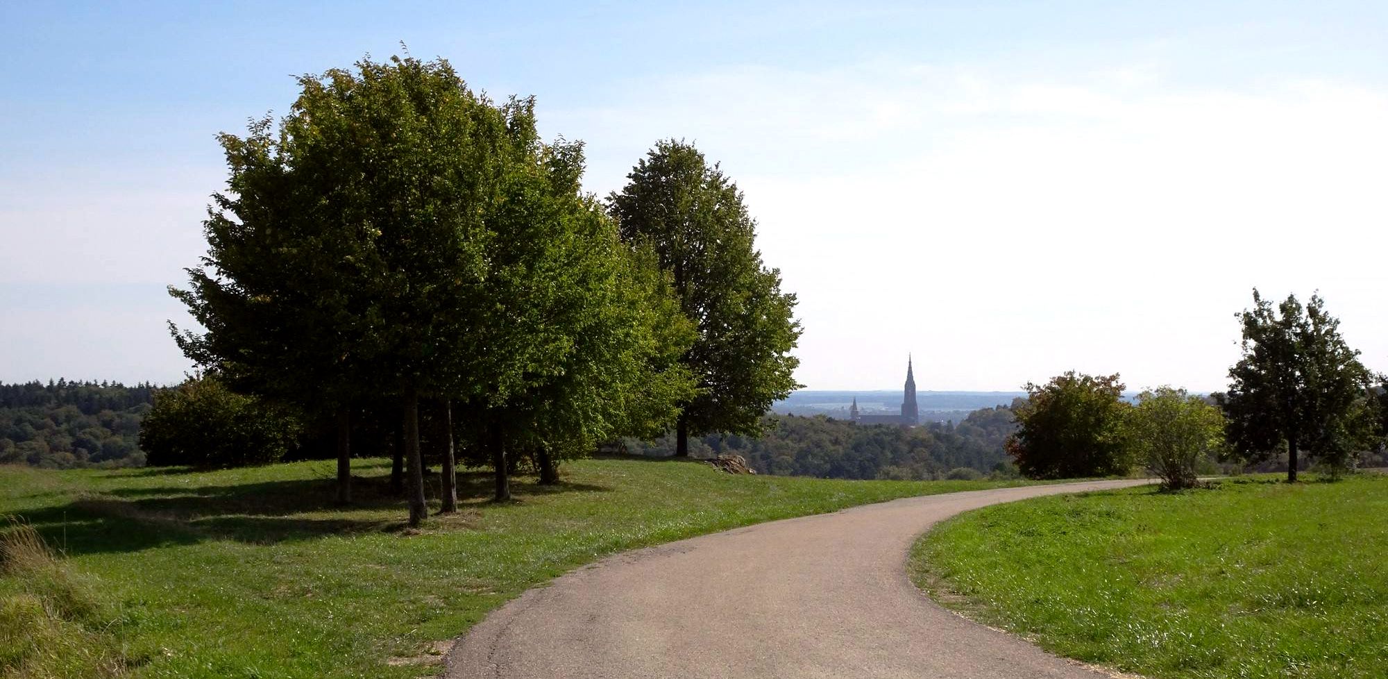
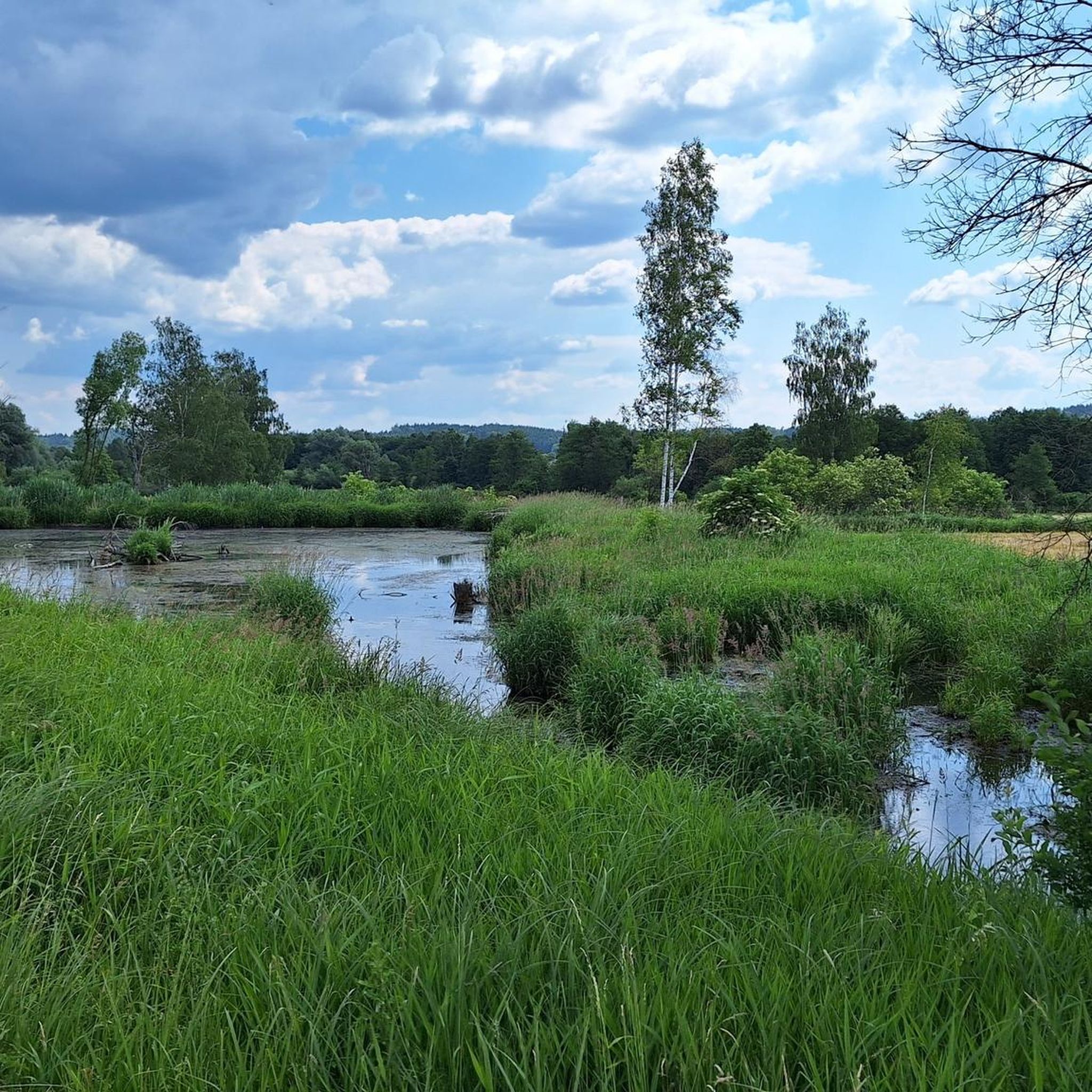
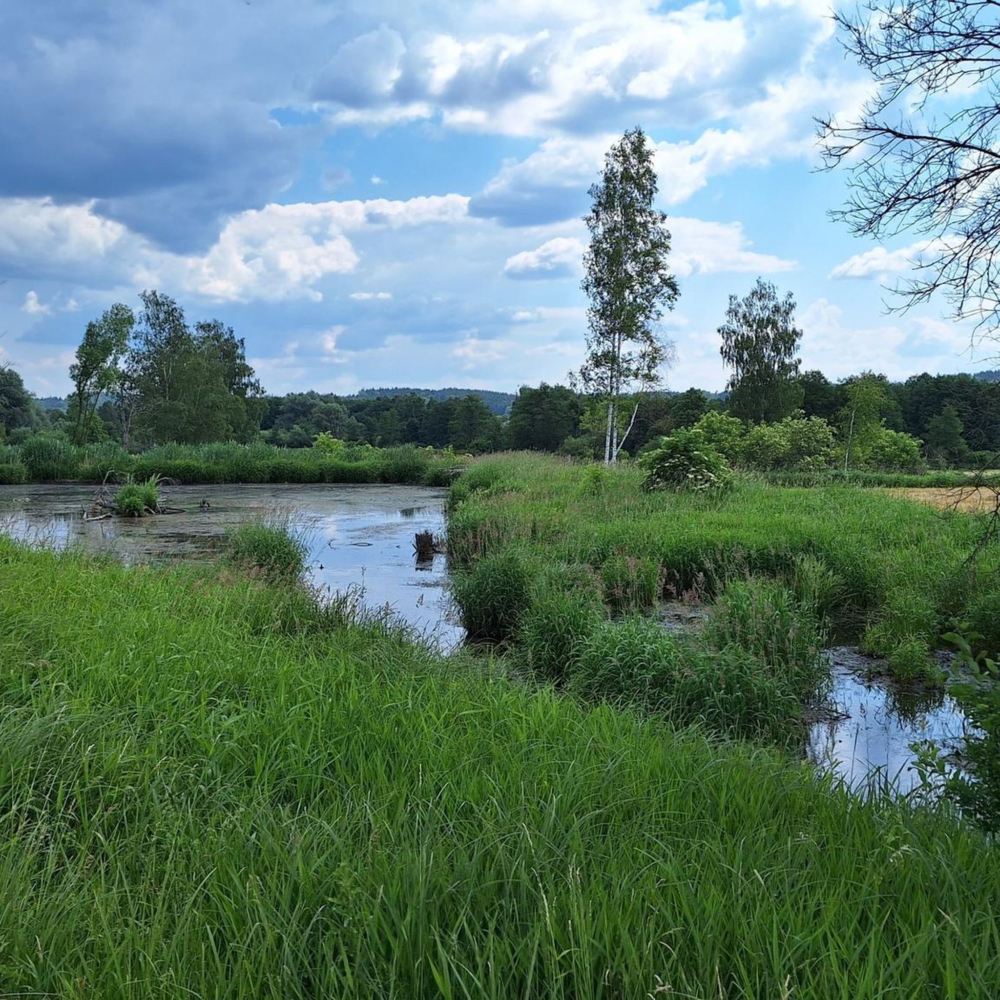
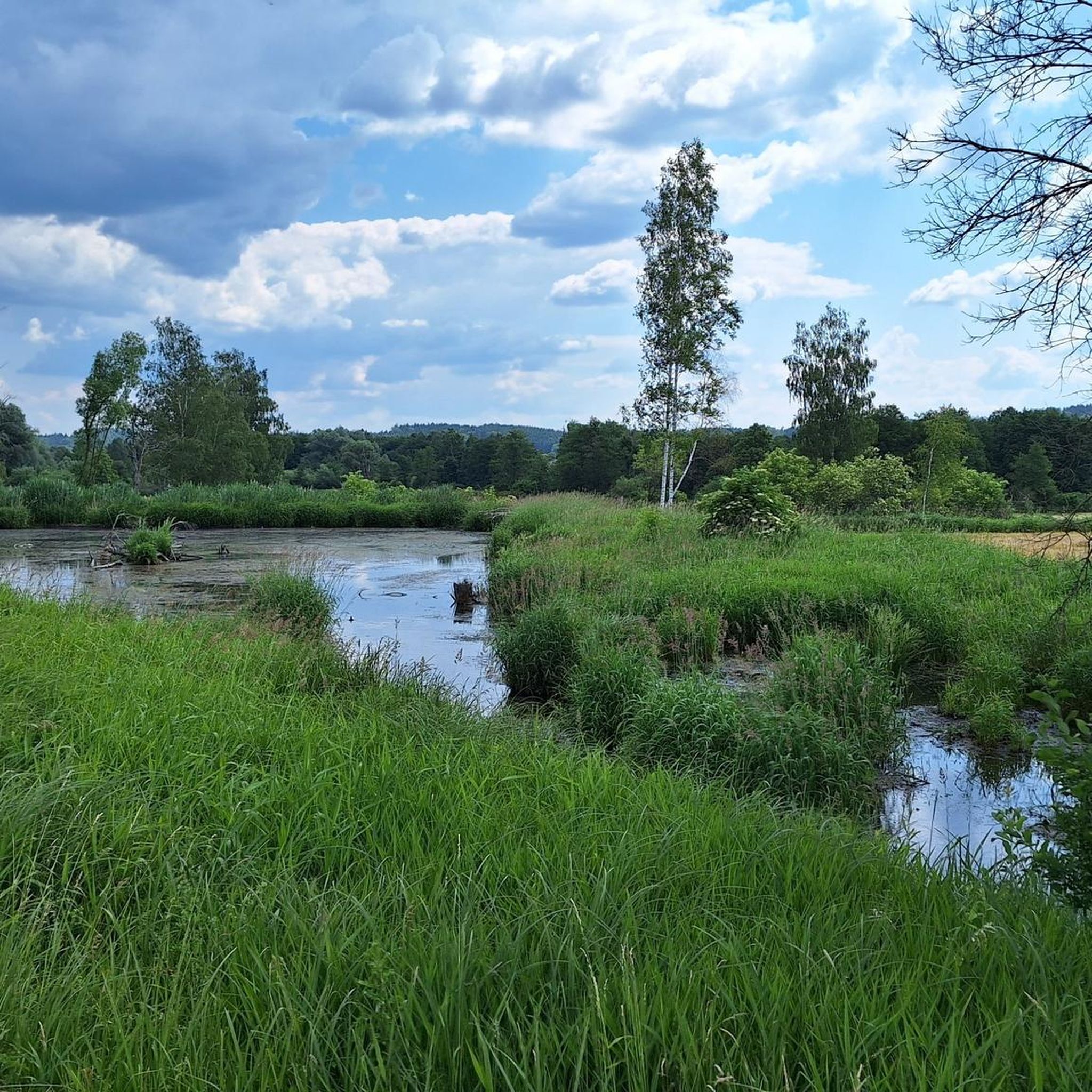
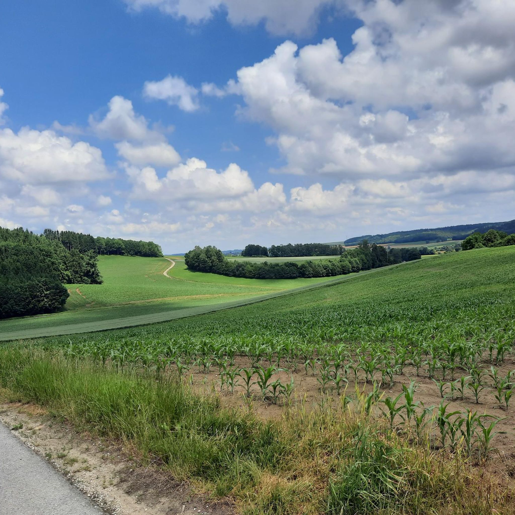
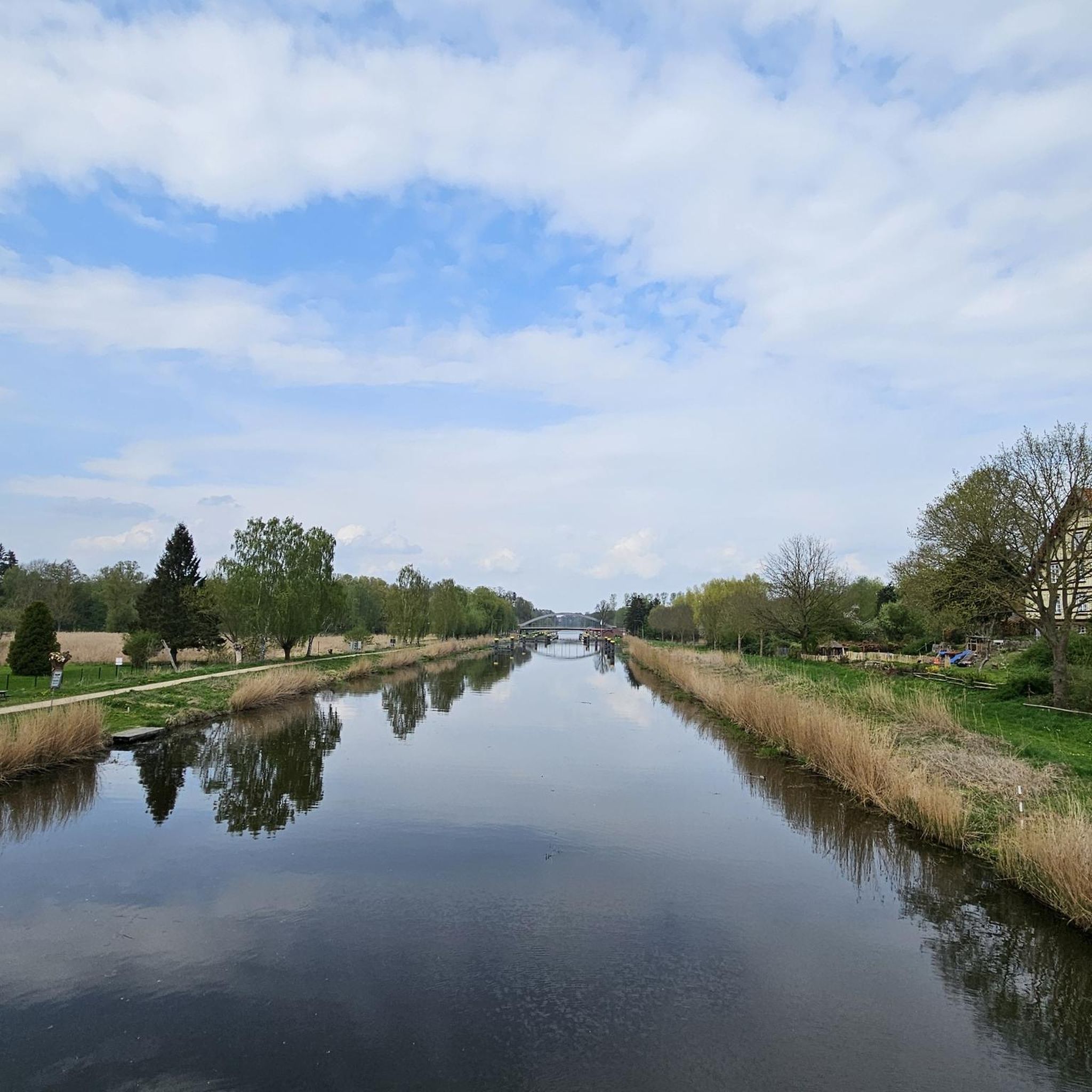
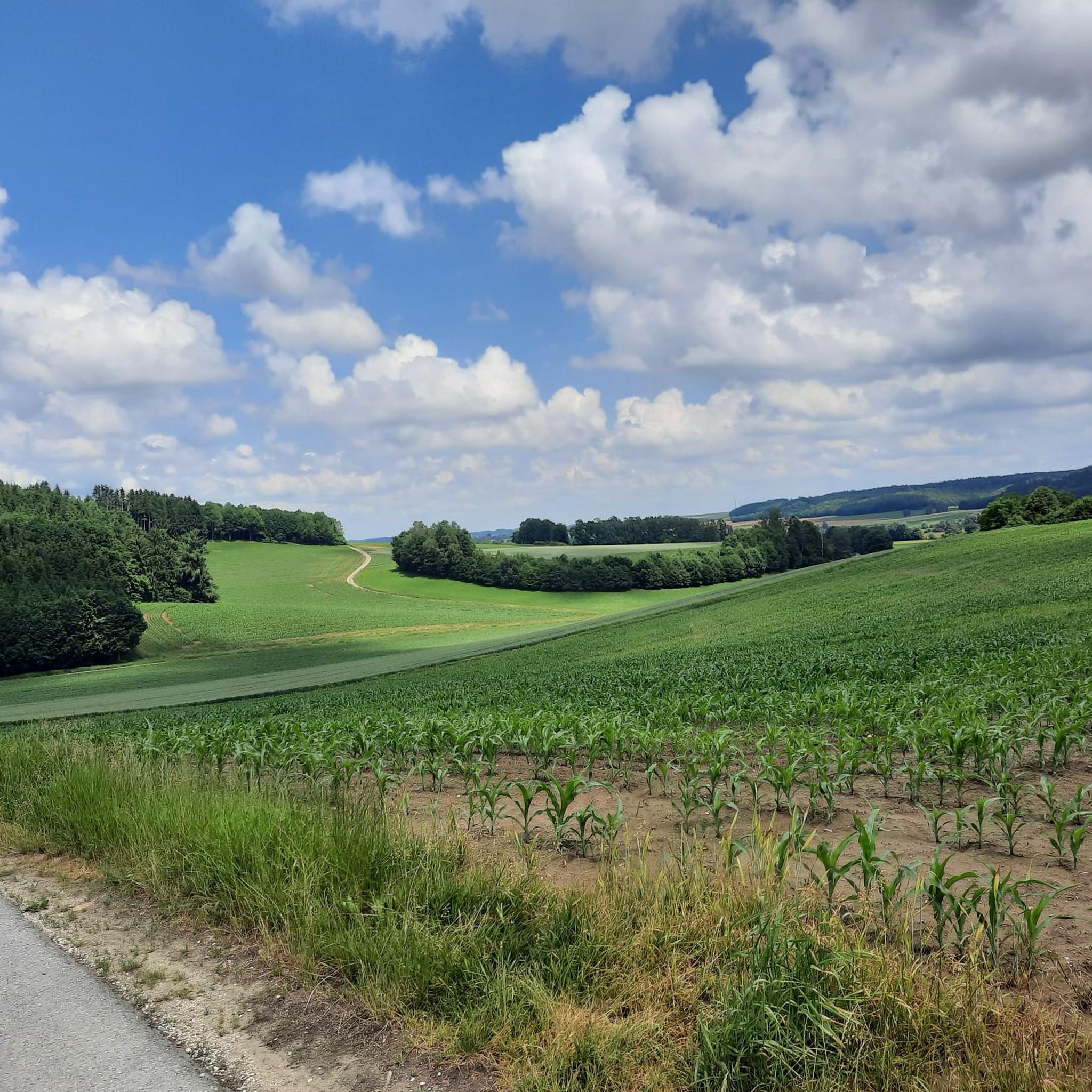
Other adventures around Kammeltal

Tips from the Community

Very nice trail where you can really let loose
0
0
Short but nice trail through the forest where you can really let loose. Also suitable for beginners
1
0

Short, well-built trail with various curves. Good for practicing trail riding.
0
1

Not very long. The Enduro Line branches off from the Red Jumpline after the first jumps. First there is a very flat section with a few roots and small jumps, then a steeper section with tight curves (but flowable - no rear wheel adjustment required), then another sorung and then the route joins the red line again.
2
0

Short trail with roots, hairpin bends and small jumps.
2
0
The levels of the single trail scale: S0 - very easy: The easiest type of trail is characterized by gentle to moderate gradients, non-slip surfaces and wide curves. There are no special demands on driving technique to overcome it. S1 - easy: Here you can expect smaller obstacles such as roots or stones. The ground is partly unconsolidated and the curves become narrower, but without hairpin bends. The maximum gradient here is 40%. S2 - medium: The level of difficulty increases and larger stones and roots are to be expected. Rarely solid ground under the wheels and there are shallow steps or stairs. Tighter curves must also be taken regularly and the steepness can be up to 70%. S3 - difficult: In this category you are already moving in blocked terrain with larger boulders or longer root passages. Switchbacks and diagonal turns occur and you often have to expect loose ground. There are regular gradients of 70%. S4 - very difficult: It gets steep and really blocked. Long, demanding root passages and large boulders have to be overcome and loose scree is the order of the day. Switchbacks and steep ramps place special demands on the riding technique and there are steps where the chain ring comes up. S5 - extremely difficult: The upper end of the scale is characterized by heavily blocked terrain, counter climbs, loose ground with rubble, tight hairpin bends and high obstacles such as fallen trees - of course including steep slopes. There is little braking distance and MTB riding technique is put to the test.
3
0
The levels of the singletrack scale: S0 - very easy: The easiest type of trail is characterized by gentle to moderate gradients, non-slip surfaces and wide curves. There are no special demands on driving technique to overcome it. S1 - easy: Here you can expect smaller obstacles such as roots or stones. The ground is partly unconsolidated and the curves become narrower, but without any hairpin bends. The maximum gradient here is 40%. S2 - medium: The level of difficulty increases and larger stones and roots are to be expected. Rarely solid ground under the wheels and there are shallow steps or stairs. Tighter curves must also be taken regularly and the steepness can be up to 70%. S3 - difficult: In this category you are already moving in blocked terrain with larger boulders or longer root passages. Switchbacks and diagonal turns occur and you often have to expect loose ground. There are regular gradients of 70%. S4 - very difficult: It gets steep and really blocked. Long, demanding root passages and large boulders have to be overcome and loose scree is the order of the day. Hairpin bends and steep ramps place special demands on your riding technique and there are steps where the chainring comes into contact. S5 - extremely heavy: The upper end of the scale is characterized by heavily blocked terrain, counter climbs, loose ground with scree, narrow hairpin bends and high obstacles such as fallen trees - including, of course, steep gradients. There is little braking distance and the MTB riding technique is put to a tough test.
1
1
The levels of the singletrack scale: S0 - very easy: The easiest type of trail is characterized by gentle to moderate gradients, non-slip surfaces and wide curves. There are no special demands on driving technique to overcome it. S1 - easy: Here you can expect smaller obstacles such as roots or stones. The ground is partly unconsolidated and the curves become narrower, but without hairpin bends. The maximum gradient here is 40%. S2 - medium: The level of difficulty increases and larger stones and roots are to be expected. Rarely solid ground under the wheels and there are shallow steps or stairs. Tighter curves must also be taken regularly and the steepness can be up to 70%. S3 - difficult: In this category you are already moving in blocked terrain with larger boulders or longer root passages. Switchbacks and diagonal turns occur and you often have to expect loose ground. There are regular gradients of 70%. S4 - very difficult: It gets steep and really blocked. Long, demanding root passages and large boulders have to be overcome and loose scree is the order of the day. Hairpin bends and steep ramps place special demands on your riding technique and there are steps where the chainring comes into contact. S5 - extremely heavy: The upper end of the scale is characterized by heavily blocked terrain, counter climbs, loose ground with scree, narrow hairpin bends and high obstacles such as fallen trees - including steep gradients, of course. There is little braking distance and the MTB riding technique is put to a tough test.
1
0
Frequently Asked Questions
What kind of cycling experiences can I expect in Kammeltal, given it's not a traditional bike park region?
Kammeltal is primarily known for its extensive cycling network, especially the Kammeltal Cycle Path. This route offers a relaxed ride through picturesque Bavarian countryside, suitable for families and casual cyclists, with well-maintained, largely flat terrain. While not traditional bike parks, there are specific mountain biking highlights with technical features for those seeking more challenge.
Are there any dedicated mountain biking trails or features in Kammeltal?
Yes, you can find specific mountain biking highlights. For instance, the Enduro Line offers a short trail with roots, hairpin bends, and small jumps, known for being flowable and good for practicing trail riding. Another popular spot is the Indianerpfad Trail through the Burgau Forest, classified as S1 for a fun experience.
What is the difficulty level of the mountain biking trails in Kammeltal?
The mountain biking trails around Kammeltal offer a range of difficulties. Many are classified as S1, meaning they have smaller obstacles like roots or stones, partly unconsolidated ground, and narrower curves. Some sections, like the Singletrack in the Danube Slopes and Floodplains between Leipheim and Offingen, can be more challenging with jumps and dirt track sections.
Are there trails suitable for beginners or families in Kammeltal?
The Kammeltal Cycle Path itself is largely flat and well-maintained, making it ideal for families and casual cyclists. For mountain biking, trails classified as S1, such as the Long singletrack, are generally considered suitable for everyone to ride, offering an easy introduction to singletrack experiences.
What kind of natural scenery will I encounter while cycling in Kammeltal?
The Kammeltal Cycle Path winds through the idyllic Kammel valley, offering picturesque views of the Bavarian countryside. You'll cycle through forests and open landscapes, with opportunities to enjoy serene natural environments.
Are there any historical or cultural sights along the cycling routes in Kammeltal?
Yes, the Kammeltal Cycle Path connects to various cultural and historical sights. Along the route, cyclists can explore attractions such as the historic castle in Burgau, the former Augustinian canons' monastery in Wettenhausen, and other churches and castles in towns like Neuburg a.d.Kammel and Krumbach.
What is the best time of year to go cycling in Kammeltal?
The Kammeltal region is generally best for cycling during the warmer months, from spring through early autumn. This period offers pleasant weather for enjoying the scenic routes and trails. Always check local weather conditions before your trip.
How long is the Kammeltal Cycle Path and what is its terrain like?
The Kammeltal Cycle Path spans approximately 60 to 73.1 kilometers, running from Erisried to Offingen. The terrain is largely flat within the Günzburg district and consists mainly of paved and well-maintained gravel sections, making it accessible for a wide range of cyclists.
Are there options for longer cycling tours or connecting to other routes from Kammeltal?
Yes, the Kammeltal Cycle Path connects to other significant cycling routes, such as the Danube Cycle Path in Offingen. This allows for longer tours and the possibility to combine different regional cycling experiences.
What other outdoor activities are available near Kammeltal besides mountain biking?
Beyond mountain biking, Kammeltal offers a variety of outdoor activities. You can find numerous Road Cycling Routes, Running Trails, and Gravel Biking opportunities, allowing you to explore the region's diverse landscapes.
What do visitors particularly enjoy about the mountain biking trails in Kammeltal?
Visitors appreciate the fun and flowable nature of the trails. For example, the Indianerpfad Trail is noted for putting riders in a good mood despite its short length. The Enduro Line is praised for being well-built with various curves, good for practicing trail riding.
Are there any unique features on the trails around Kammeltal?
Yes, some trails offer unique features. The Legoland Trail Exit Wooden Bridge, for instance, allows cyclists to balance over a small wooden bridge over a stream, adding an interesting element to the ride. Other trails include small jumps and technical sections with roots and hairpin bends.
Most popular routes around Kammeltal
Most popular attractions around Kammeltal

Get inspired with the komoot mobile app


Explore more
Still looking for your perfect bike park? Check out our guides in these places:
