Top 20 Natural Monuments around Hengersberg
Natural monuments around Hengersberg are primarily found in the surrounding Lower Bavarian region, as Hengersberg itself serves as a gateway to the Bavarian Forest. The area is characterized by dense forests, picturesque rivers, and the prominent Danube river valley. This location provides access to diverse natural features, making it a base for exploring the wider natural landscapes of Lower Bavaria. The region offers numerous hiking and cycling trails through its varied ecosystems.
Best natural monuments around Hengersberg
- The most popular…
Last updated: June 24, 2026
Brotjacklriegel Summit and Observation Tower
Highlight • Summit
Translated by Google •
Tip by

Großer Büchelstein summit cross and panoramic view
Highlight • Summit
Translated by Google •
Tip by

Sign up now to discover places like this
Get recommendations on the best single tracks, peaks, & plenty of other exciting outdoor places.
Sign up for free
Dreitannenriegel summit (1,092 m)
Highlight • Summit
Showing Translation
Tip by

Breitenauriegel Summit
Highlight • Summit
Translated by Google •
Tip by

Isar Confluence
Highlight • Natural Monument
Translated by Google •
Tip by

Sign up for free to discover even more natural monuments around Hengersberg.
Sign up for free
Already have an account?
Start today with a free account
Your next adventure awaits.
Login or Signup
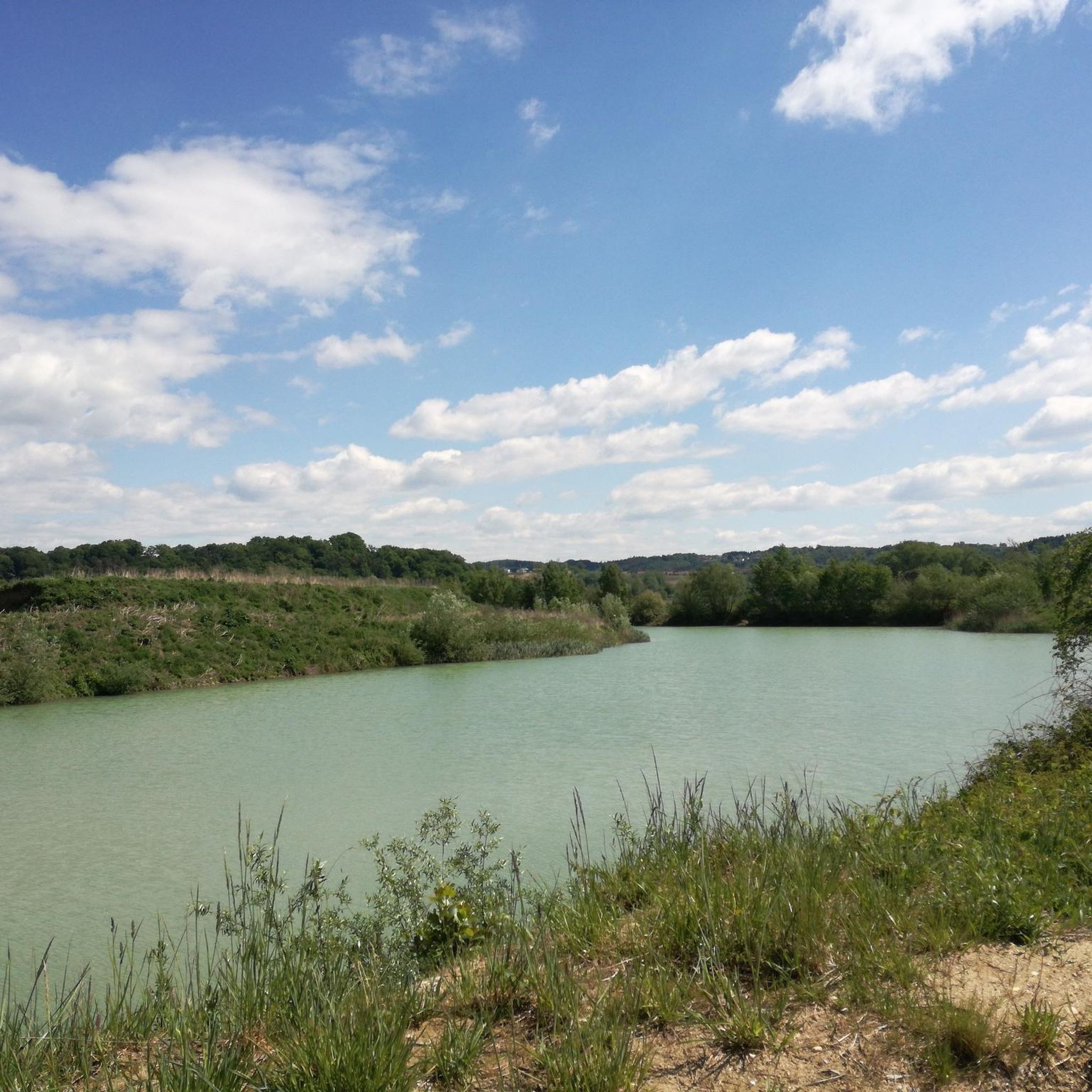
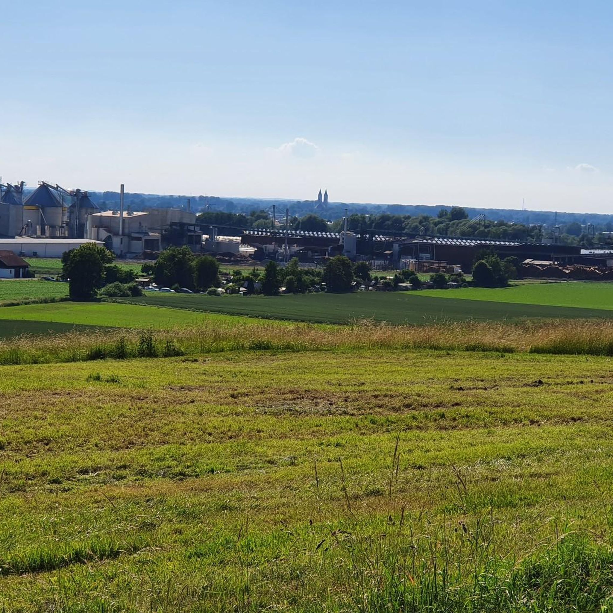
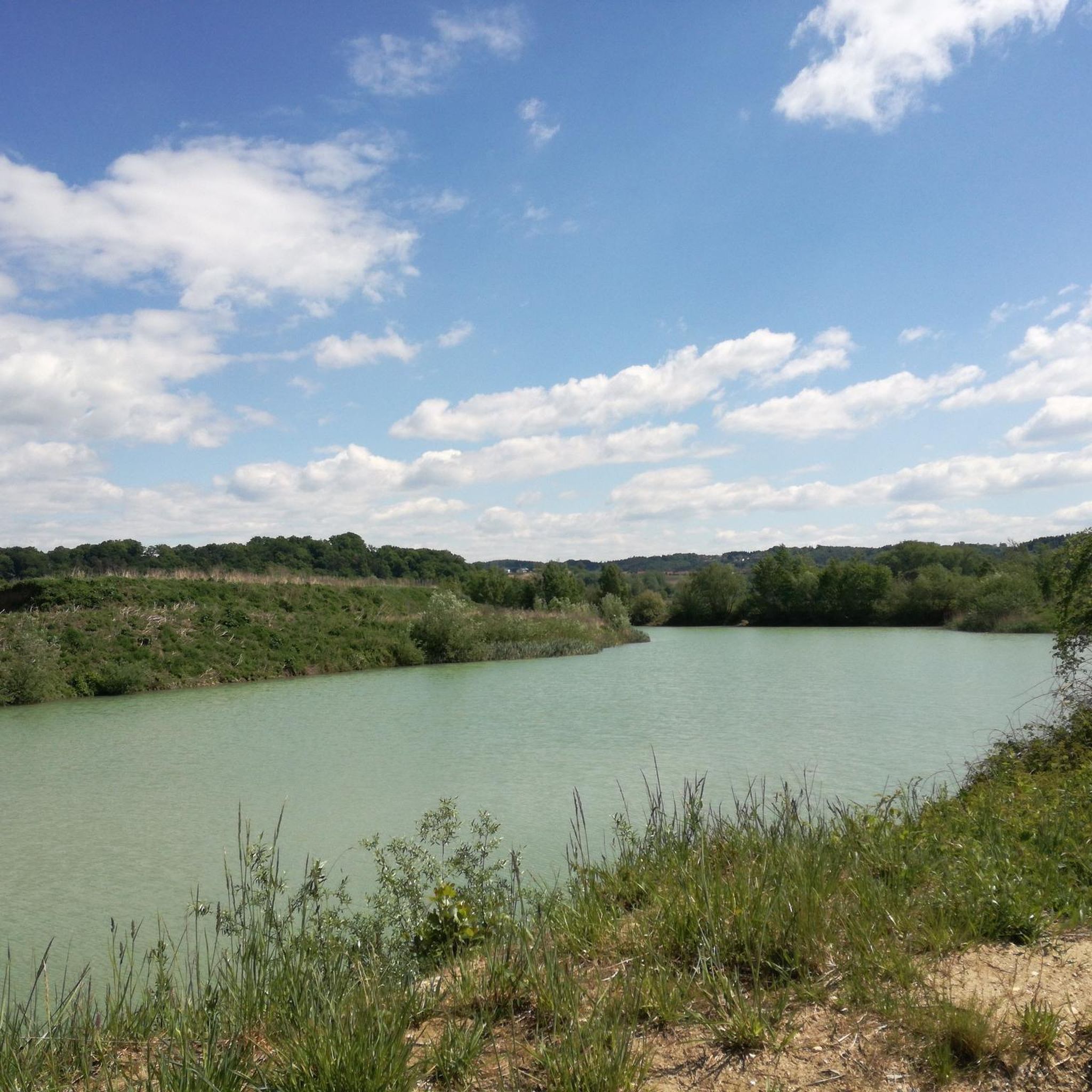
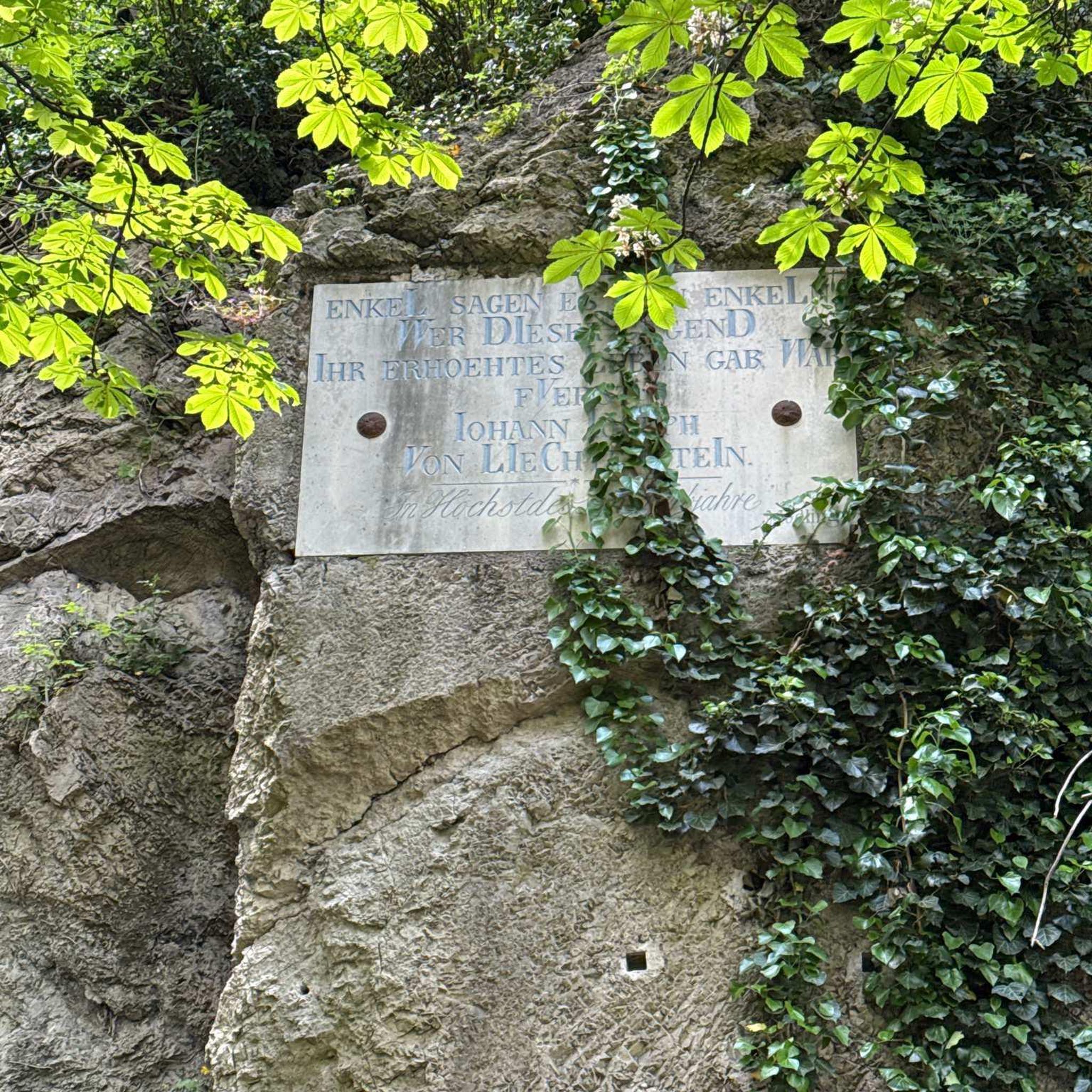
Tips from the Community

Always worth a detour for bikers or hikers
0
0

The Großer Büchelstein in the municipality of Grattersdorf rises majestically above the Sonnenwald region. With a height of 832 meters, it offers a panoramic view that extends as far as the Alps in clear weather. The summit is a popular starting point for hang gliders and paragliders, who enjoy the thermals and the spectacular views. Hikers can follow well-marked trails through dense forests and over rolling hills that unfold their own charm in every season. Source: https://region-sonnenwald.de/berge/buechelstein?task=ggvz
5
0
The large and small Büchelstein is definitely worth a detour. But when the weather is nice, there are a lot of people
2
0

Just enjoy the view!!!!
11
0

A visit is highly recommended, whether in summer or winter. Super great visibility (if the weather is right 😉)
13
0
Is 100% worth a visit, whether in summer or winter. The view - distant view is always super beautiful (if the weather is right 😉)
15
0

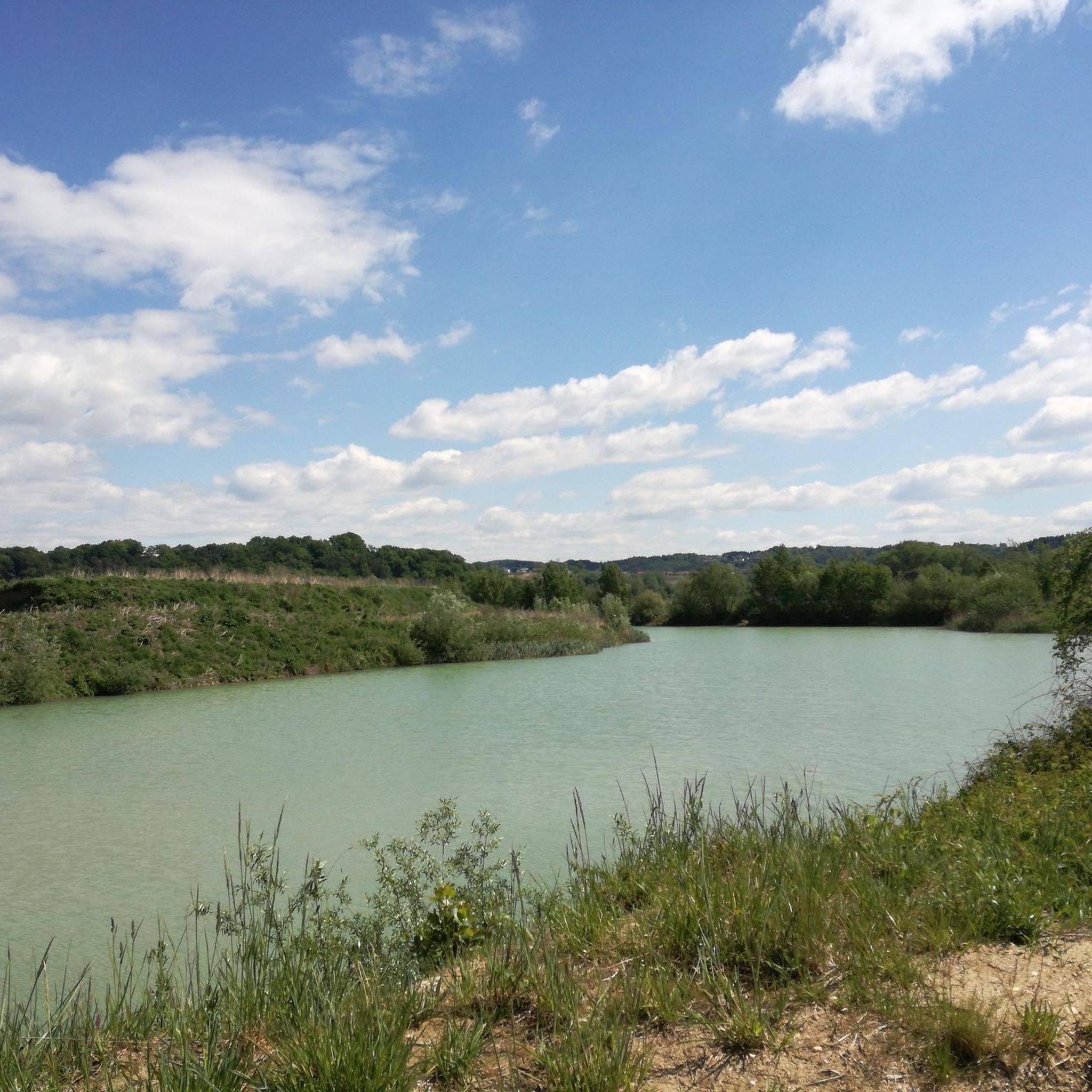
If you ride the Isar Valley Cycle Path, the estuary is simply part of it, simply as a reward for about 300 kilometers of bike rides.
3
0

Even if it doesn't look like it: The Dreitannenriegel is accessible by MTB.
5
0
Frequently Asked Questions
What natural features can I expect to see around Hengersberg?
The region around Hengersberg, serving as a gateway to the Bavarian Forest, is characterized by dense forests, picturesque rivers like the Danube, and prominent mountain summits. You'll find diverse ecosystems, from river valleys to high-altitude viewpoints, offering a rich natural experience.
What are some of the most scenic viewpoints in the Hengersberg area?
For breathtaking panoramic views, visit the Brotjacklriegel Summit and Observation Tower, which offers expansive vistas of the Bavarian-Bohemian Border Ridge, Passauer Land, and the Danube plain. Another excellent spot is the Großer Büchelstein summit cross and panoramic view, known for its super clear distant views in any season. The Dreitannenriegel summit (1,092 m) also provides a great distant view after a short, steep climb.
Are there family-friendly natural monuments around Hengersberg?
Yes, the Isar Confluence is considered family-friendly, offering a unique nature reserve where the Isar meets the Danube, creating an impressive landscape of backwaters and alluvial forests. It's easily accessible, even by bike. The Brotjacklriegel Summit and Observation Tower is also generally accessible for families, though reaching the top of the observation tower involves 127 steps.
What outdoor activities can I do near the natural monuments around Hengersberg?
The area is ideal for various outdoor activities. You can enjoy extensive cycling tours along the Danube Cycle Path, with options like the 'Old Arm of the Danube – View of Niederalteich Abbey' loop. For hikers, there are numerous trails, including challenging mountain hikes to summits like Breitenauriegel Summit. Gravel biking is also popular, with routes exploring the Isar-Danube confluence area. Find more details on routes in the Cycling around Hengersberg, Mountain Hikes around Hengersberg, and Gravel biking around Hengersberg guides.
Are there hiking trails near these natural monuments?
Absolutely. Many natural monuments are integrated into hiking networks. For instance, you can find trails leading to the Dreitannenriegel summit (1,092 m), with a comfortable descent through the forest. The Breitenauriegel Summit is part of extensive mountain hikes offering views of the Alps. Explore various options in the Mountain Hikes around Hengersberg guide.
What is the best time to visit the natural monuments around Hengersberg?
The natural monuments in the Hengersberg region can be enjoyed year-round. For example, the Großer Büchelstein summit cross and panoramic view is highly recommended whether in summer or winter, provided the weather allows for good visibility. Summer and autumn offer lush landscapes and comfortable hiking conditions, while winter can provide unique, serene views.
Are there places to eat or drink near the natural monuments?
Yes, some natural monuments offer refreshment options. At the Brotjacklriegel Summit and Observation Tower, you'll find the 'Turm-Stüberl' for a little refreshment. Near the Dreitannenriegel summit (1,092 m), you can stop at the Loderhart on weekends.
What do visitors particularly enjoy about the natural monuments in this region?
Visitors frequently praise the stunning panoramic views from the summits, the diverse hiking and cycling opportunities, and the chance to immerse themselves in the undisturbed nature of the Bavarian Forest and Danube river valley. The community has shared over 1100 photos and given more than 1200 upvotes, highlighting the region's appeal for nature lovers and outdoor enthusiasts.
Can I cycle to any of the natural monuments?
Yes, cycling is a popular way to explore the area. The Isar Confluence can be comfortably reached by bike through a beautiful meadow landscape. The Brotjacklriegel Summit and Observation Tower is also accessible by bike. The Danube Cycle Path runs directly through Hengersberg, providing numerous routes to natural features. Refer to the Cycling around Hengersberg guide for detailed routes.
Are there any unique geological features near Hengersberg?
The most notable unique geological feature is the Isar Confluence, where the Isar river meets the Danube. This creates a distinctive nature reserve with backwaters, alluvial forests, and moist meadows, showcasing a dynamic riverine landscape.
What should I wear when hiking to natural monuments in the Hengersberg region?
Given the varied terrain, including forest paths and mountain ascents, it's advisable to wear sturdy hiking boots with good ankle support. Layered clothing is recommended to adapt to changing weather conditions, especially when gaining elevation. Always check the local weather forecast before heading out.
Are the natural monuments around Hengersberg accessible by public transport?
While Hengersberg itself is well-connected, direct public transport links to all individual natural monuments can be limited. It is often necessary to combine public transport with walking or cycling to reach trailheads or specific sites. Planning your route in advance is recommended.
Most popular routes around Hengersberg
Most popular attractions around Hengersberg

Get inspired with the komoot mobile app


Explore more
Extend your search for the best caves by checking out these guides of the top ones around Hengersberg:
