The best walks and hikes around Leinfelden-Echterdingen
4.5
(2132)
9,578
hikers
314
hikes
Hiking trails around Leinfelden-Echterdingen traverse a varied landscape, characterized by the idyllic Siebenmühlental (Seven Mills Valley) and its historic mills. The region offers access to the extensive forests of Schönbuch Nature Park and the Glemswald conservation area. Hikers can also explore the Filder Plain, known for its meadows and fruit trees, providing diverse terrain for outdoor activities.
Best hiking trails around Leinfelden-Echterdingen
- The most popular hiking route is Obere Mühle (Siebenmühlental) – Mäulesmühle (Mäules Mill) loop from Musberg, an…
Last updated: August 18, 2026
4.5
(285)
916
hikers
Easy hike. Great for any fitness level. Easily-accessible paths. Suitable for all skill levels.
4.4
(138)
623
hikers
10.7km
02:56
160m
150m
Moderate hike. Good fitness required. Easily-accessible paths. Suitable for all skill levels.

Sign up for free
4.6
(177)
703
hikers
15.1km
04:02
160m
160m
Moderate hike. Good fitness required. Easily-accessible paths. Suitable for all skill levels.
4.5
(72)
235
hikers
7.76km
02:09
140m
140m
Moderate hike. Good fitness required. Easily-accessible paths. Suitable for all skill levels.
4.6
(259)
851
hikers
Easy hike. Great for any fitness level. Easily-accessible paths. Suitable for all skill levels.
Get access to more routes and recommendations from other explorers.
Sign up for free
Already have an account?
Our route recommendations are based on thousands of hikes, rides, and runs completed by other people on komoot.
Start today with a free account
Your next adventure awaits.
Login or Signup
Popular around Leinfelden-Echterdingen

Between river, forest and alb – cycling tours in the Esslingen district
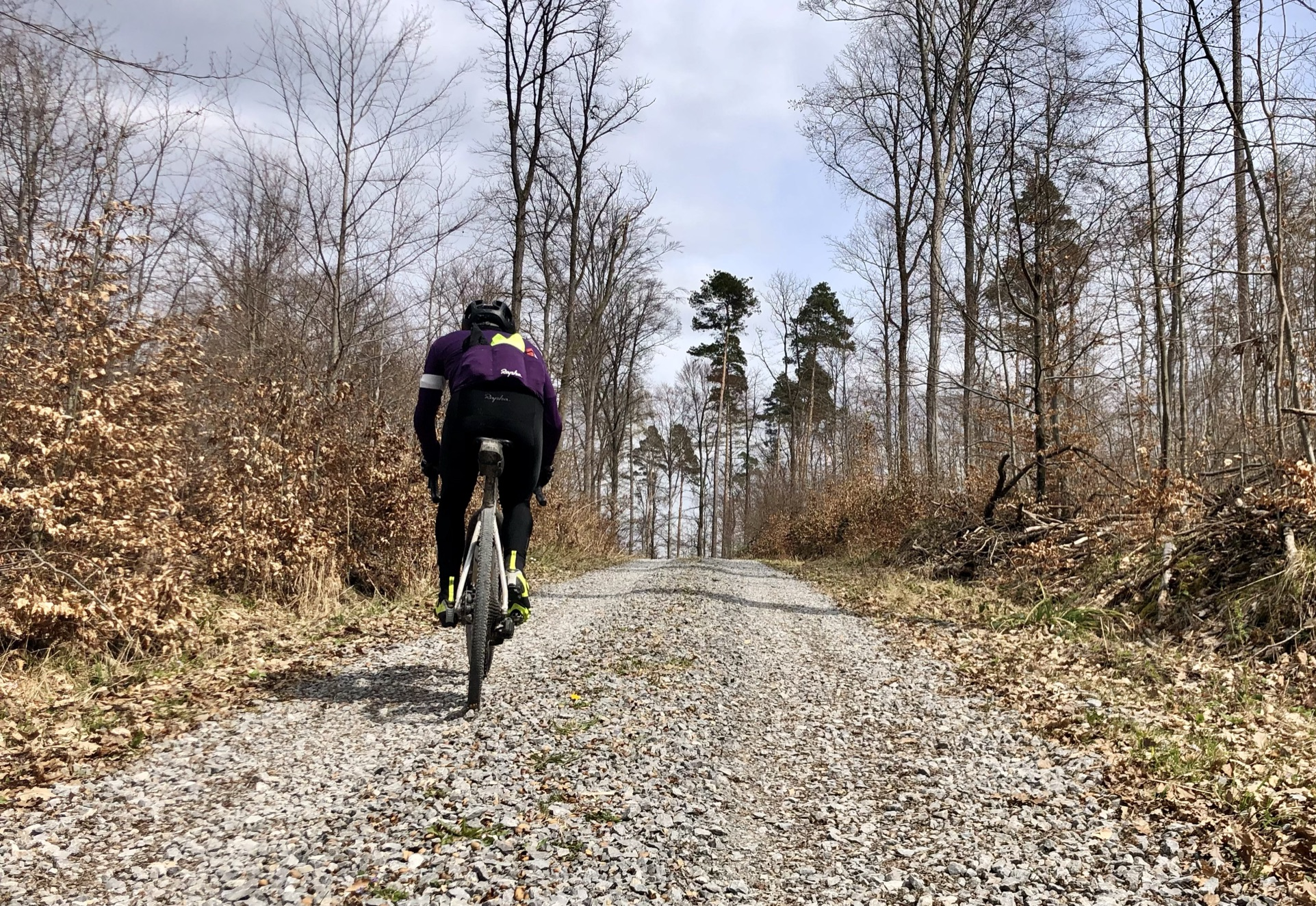
Stuttgarter Gravel Luck - Gravel Tours around the Basin
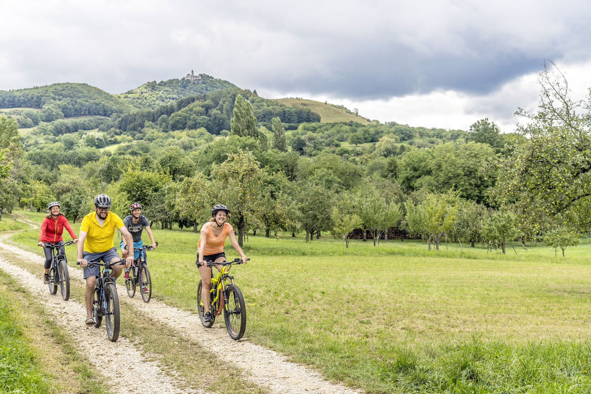
Explore the stunning Swabian Alb — cycling in the Esslingen district
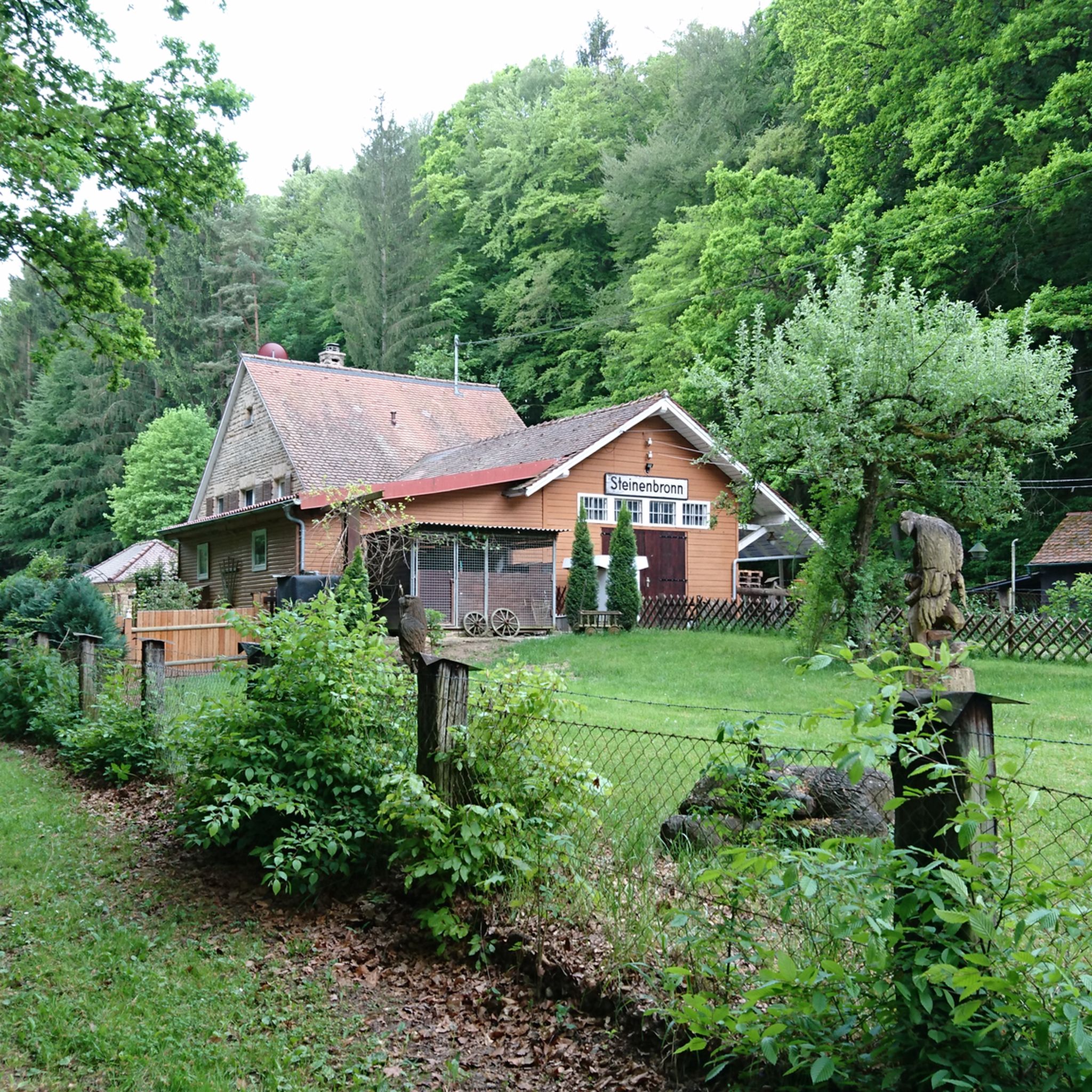
Cycling around Leinfelden-Echterdingen
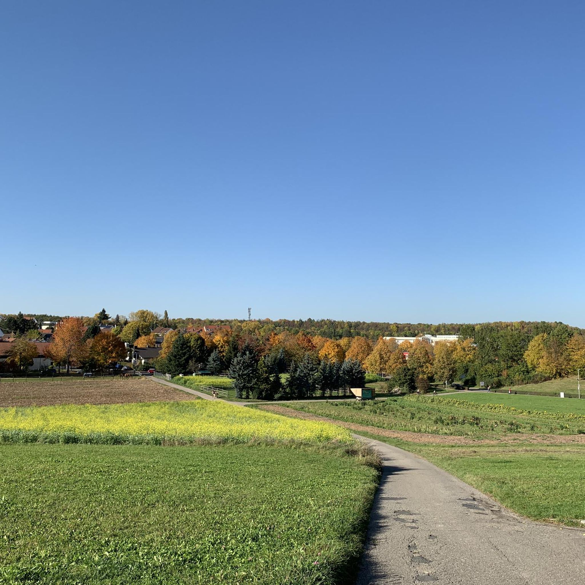
Road Cycling Routes around Leinfelden-Echterdingen
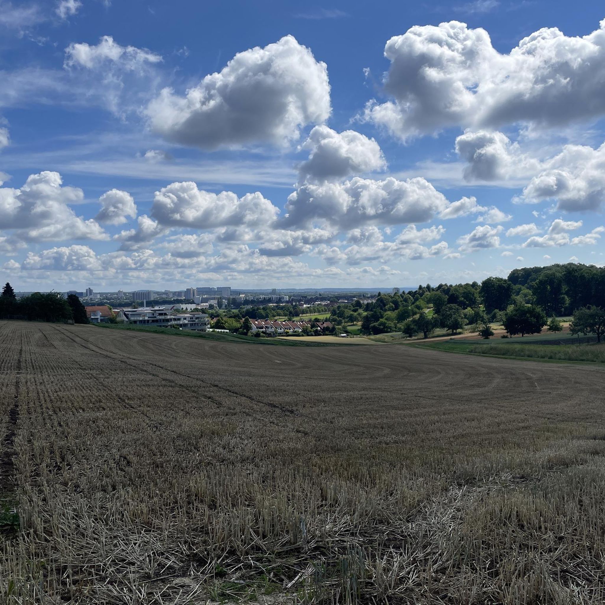
Running Trails around Leinfelden-Echterdingen
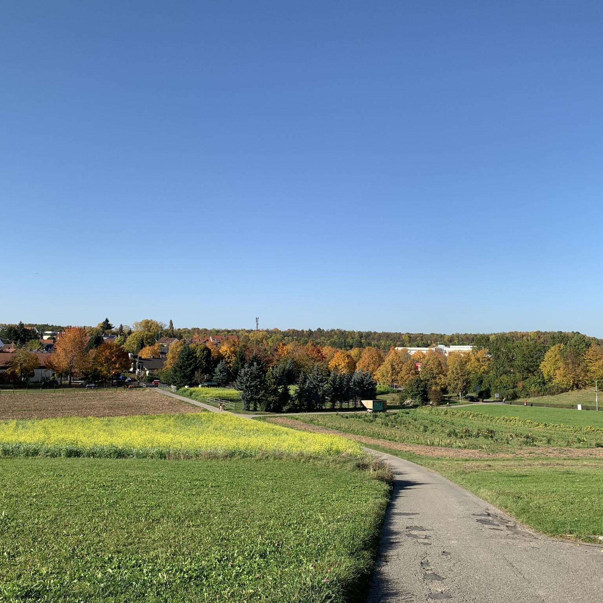
MTB Trails around Leinfelden-Echterdingen
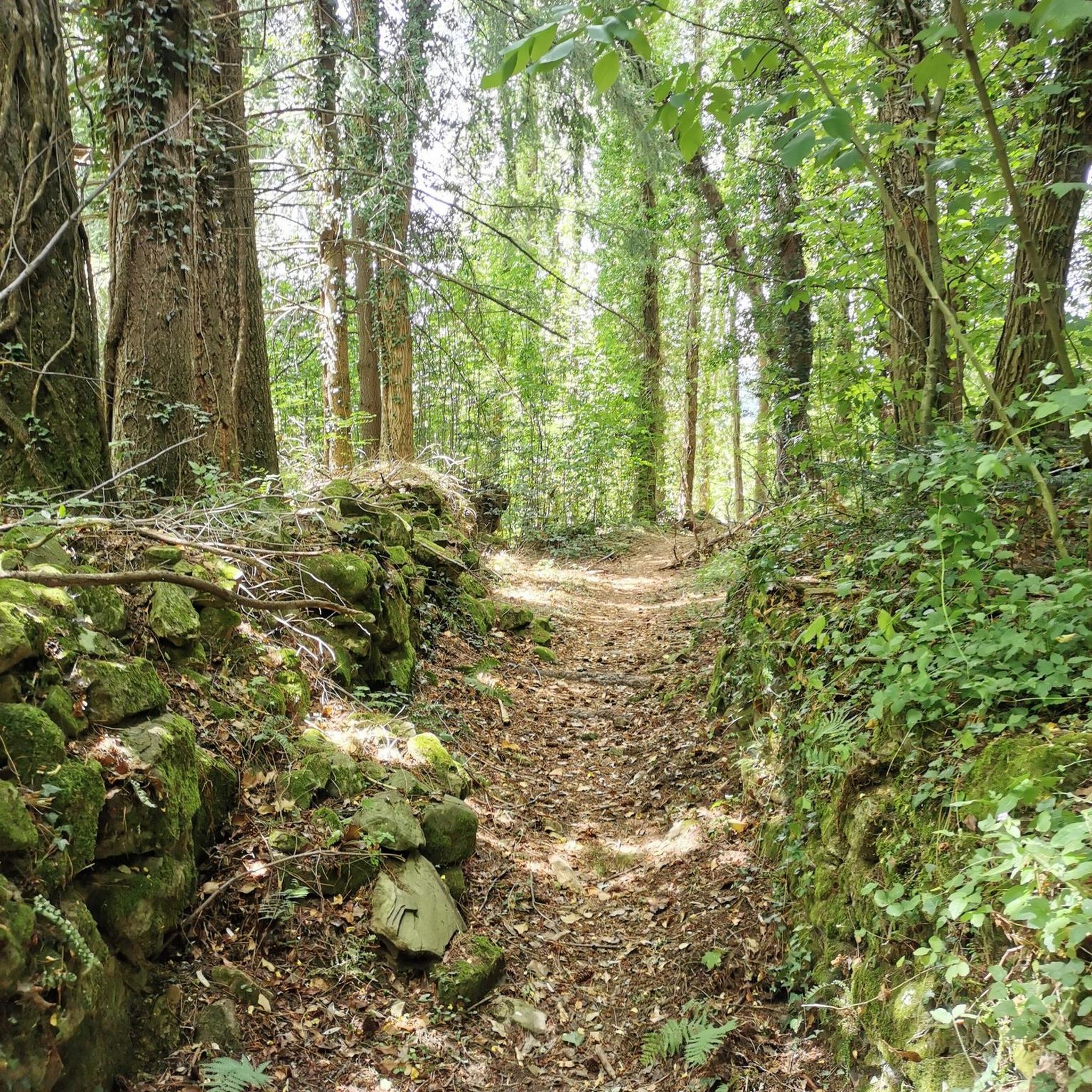
Gravel biking around Leinfelden-Echterdingen

Mountain Hikes around Leinfelden-Echterdingen
Other adventures around Leinfelden-Echterdingen


Tips from the Community

Not too far from the Waldenbucherstrasse forest car park. Therefore, it is also usually well attended. The covered barbecue area is impressive.
4
0
The many fallen trees along the Reichenbach, some of which lie not only over the stream but also over the narrow hiking trail, make the route even more rustic.
11
0
Especially the path along the meadows of the Walzenmühle, which was in operation as a mill until 1930 and is now a riding stable.
10
0
Flour was produced here until 1925. The old millstones are still there. The mill wheel continued to generate electricity until the war year of 1945, when the mill building and the mill wheel were severely damaged.
11
0
One of the few mills accessible by car via the "Alte Poststrasse" (Old Post Road). Parking is available. The mill boasts a lovely self-service beer garden.
10
0

"Beautiful stream in the forest" - it's the Reichenbach! The Reichenbach originates at approximately 409 m above sea level (NN) through the confluence of the Schmellbach and Mahdenbach streams south of the Sindelfinger Spitze. The approximately 2.6 km long Schmellbach originates near Stuttgart-Rohr and flows into the Reichenbach from the north. The approximately 3.3 km long Mahdenbach originates in the Beckenhäule forest area east of Böblingen and flows into the Reichenbach from the west. From there, the Reichenbach flows predominantly southward through or along the edge of the municipalities of Böblingen, Leinfelden-Echterdingen, Steinenbronn, Filderstadt, and Waldenbuch. South of Burkhardtsmühle in the municipal area of Waldenbuch, it flows into the Aich from the left and finally to the north at 328.5 m above sea level.
0
0

For a while along the trail, you'll be accompanied by a beautiful stream. There's also a bench here where you can sit and enjoy the sound of the stream.
5
0
Beautiful and witty wooden sculptures. Considering how handcrafted they are, they're simply craftsmanship. 😍
7
0
Frequently Asked Questions
How many hiking trails are there around Leinfelden-Echterdingen?
Leinfelden-Echterdingen offers a vast network of hiking trails, with over 300 routes available. These include 18 distinct circular hiking trails designed to start and end at designated hiking car parks, catering to various preferences and fitness levels.
What kind of terrain can I expect on hikes in Leinfelden-Echterdingen?
The region features a varied landscape. You'll find idyllic paths through the Siebenmühlental (Seven Mills Valley), extensive forests within the Schönbuch Nature Park and Glemswald conservation area, and open meadows with fruit trees on the Filder Plain, which also offers panoramic views.
Are there easy hiking options suitable for beginners or families?
Yes, Leinfelden-Echterdingen is very welcoming for beginners and families. There are over 220 easy routes available, many of which are well-marked and pass by attractive points like historic mills, barbecue areas, and playgrounds. An example of an easy route is the Obere Mühle (Siebenmühlental) – Mäulesmühle (Mäules Mill) loop from Musberg.
Can I find challenging hikes in the area?
While the region is known for its accessible trails, there are a few more challenging routes for experienced hikers. The majority of trails are easy to moderate, but you can find a handful of routes that offer a greater physical challenge.
What natural features or landmarks can I see along the trails?
Hikers can explore the picturesque Siebenmühlental with its historic mills like Mäulesmühle and Eselsmühle. Other natural highlights include the charming Heslacher Waterfalls and the eastern shore of Bärensee (Bear Lake). The region also provides access to the extensive forests of Schönbuch Nature Park and the open Filder Plain.
Are there any circular hiking routes available?
Yes, the region is well-equipped with circular hiking routes. There are 18 distinct circular trails, many of which are designed to start and end at designated hiking car parks, making planning your trip convenient. A popular moderate circular route is the Seven Mills Valley – Seven Mills Valley loop from Leinfelden Neuer Markt (EUCHNER).
What do other hikers say about the trails in Leinfelden-Echterdingen?
The trails in Leinfelden-Echterdingen are highly rated by the komoot community, with an average score of 4.6 stars from over 1,900 reviews. Hikers often praise the well-marked paths, the scenic beauty of the Siebenmühlental, and the variety of routes suitable for all fitness levels.
Are the hiking trails in Leinfelden-Echterdingen dog-friendly?
Many of the trails in Leinfelden-Echterdingen are suitable for hiking with dogs, especially the paths through the forests of Schönbuch Nature Park and the open areas of the Filder Plain. Always ensure your dog is under control and check for any specific local regulations regarding pets in nature conservation areas.
Are there places to eat or rest along the hiking routes?
Yes, several routes pass by attractive points that offer amenities. Some historic mills in the Siebenmühlental, like Mäulesmühle and Eselsmühle, have cafes or restaurants. You can also find barbecue areas and playgrounds along various trails, providing opportunities for rest and refreshment.
How well are the hiking trails marked?
The trails in Leinfelden-Echterdingen are reliably marked with numbers by local groups of the Swabian Alb Association and the city administration, making navigation straightforward and enjoyable for hikers.
What is the best time of year to go hiking in Leinfelden-Echterdingen?
The region is beautiful year-round, but spring and autumn are particularly pleasant. In spring, the Filder Plain is adorned with fruit trees in blossom, while autumn offers vibrant foliage in the Schönbuch Nature Park. Summer provides lush green landscapes, and even winter can be charming for a crisp walk.
Are there any historical or educational paths?
Yes, the region offers historical paths, such as one in Echterdingen and a teaching trail that winds through Celtic burial mounds. These routes blend nature exploration with cultural insights, providing an enriching experience.
Most popular routes around Leinfelden-Echterdingen
Most popular attractions around Leinfelden-Echterdingen

Get inspired with the komoot mobile app


Explore more
Browse the best Hikes in other regions.
