Top 8 Mountain Passes around Schwaigen
Mountain passes around Schwaigen are located in the Garmisch-Partenkirchen district of Bavaria, Germany, within the Oberland region. This area is characterized by its proximity to the Ammergauer Alpen, providing varied terrain for outdoor exploration. The municipality of Schwaigen itself is situated near the Murnauer Moos, with its landscape extending into the foothills of the Ammergauer Alps. The region offers opportunities for hiking and cycling routes, with diverse terrain elevation and natural features.
Best mountain passes around Schwaigen
- The most popular…
Last updated: October 11, 2026
Zeitberg Viewing Platform
Highlight • Summit
Translated by Google •
Tip by

View of the Kofel
Highlight • Viewpoint
Translated by Google •
Tip by

Sign up now to discover places like this
Get recommendations on the best single tracks, peaks, & plenty of other exciting outdoor places.
Ettaler Sattel
Highlight • Mountain Pass
Translated by Google •
Tip by

From Plansee to Oberammergau
Highlight (Segment) • Trail
Translated by Google •
Tip by

View of the Wetterstein Mountains
Highlight • Viewpoint
Translated by Google •
Tip by

Sign up for free to discover even more mountain passes around Schwaigen.
Already have an account?
Start today with a free account
Your next adventure awaits.
Popular around Schwaigen
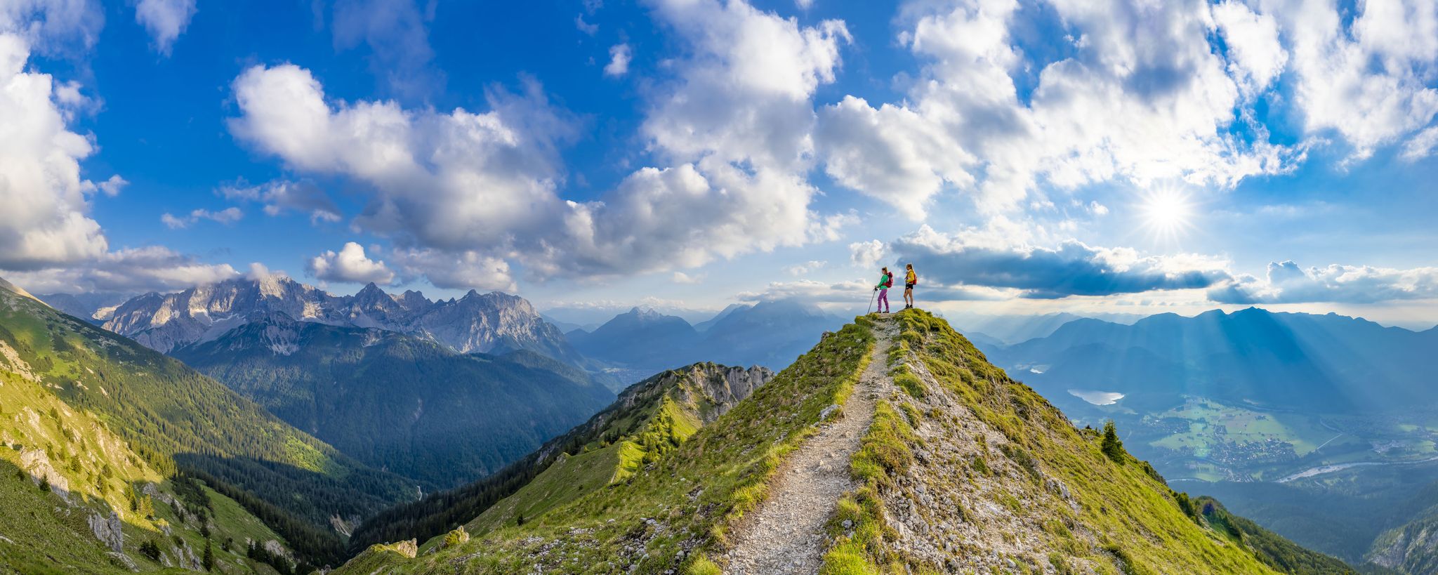
7 days, 7 summits – varied mountain Tour week in the Zugspitz region
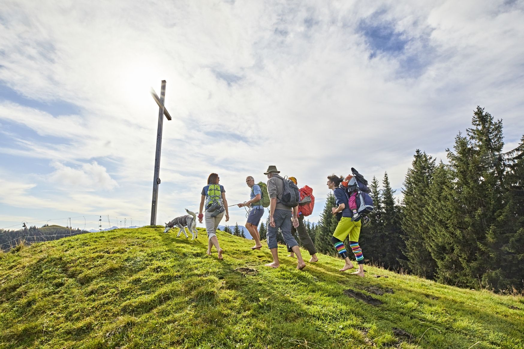
Hike up to the most beautiful views in Upper Bavaria – Go 7 Summits
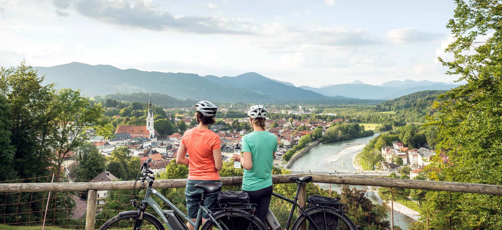
The Art Loop — Wasser-Radlwege Oberbayern
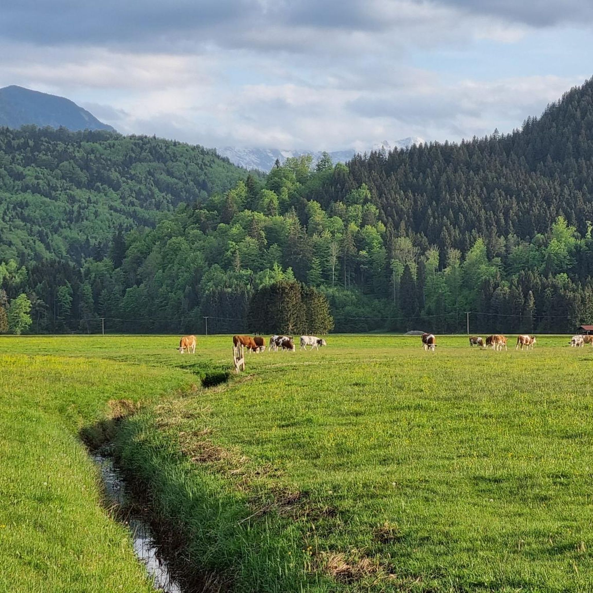
Hiking around Schwaigen
Cycling around Schwaigen
Mountain Hikes around Schwaigen
Road Cycling Routes around Schwaigen

Gravel biking around Schwaigen
Running Trails around Schwaigen
MTB Trails around Schwaigen
Other adventures around Schwaigen


Tips from the Community

Not worth it, but there was no alternative to the closed cycle path down to Oberau. It is currently being repaired.
0
0

The Ettaler Sattel is a scenic mountain pass on the edge of the Naturpark Ammergauer Alpen. A classic cycling and hiking waypoint with a signpost marking the elevation — look out for the views toward Ettal Abbey below.
0
0

You have to cross it if you're heading south. But it's even and quick to ride. It's only a moderate 3700 m. Lots of traffic on some days.
0
0

The Hörnle consists of three peaks: Vorderes Hörnle (1484 m), Mittleres Hörnle (1496 m), and Hinteres Hörnle (1548 m). The Hörnle is an attractive hiking destination that can be reached on foot or by cable car. The three peaks of the Hörnle offer beautiful viewpoints to the Tannheimer Mountains, the Wetterstein and Karwendel, as well as to the Alpine foothills with Ammersee, Starnberger See, and Staffelsee, despite their relatively low altitude. The Vordere Hörnle (1,484 m), Mittlere Hörnle (1,496 m), and Hintere Hörnle (1,548 m) are each about a 30-minute walk from each other and are excellently suited for a circular tour with a stop at the Hörndlhütte in both summer and winter.
6
1

The view from the Zeitberg is breathtaking. Your gaze wanders from the mountains far out into the Alpine foothills. Just a few steps away you can take a break and let yourself be pampered in the Hörnlehütte.
5
1

Simply beautiful to look at
1
1

Valley, river and mountains at a glance. Beautiful...
2
1

Also ideal for gravel bike riders! More tips for gravel bike adventures in the area at https://graveldeluxe.com or in my Komoot profile https://www.komoot.de/user/graveldeluxe
1
0
Frequently Asked Questions
What kind of mountain passes can I expect around Schwaigen?
The mountain passes around Schwaigen are primarily characterized by scenic viewpoints, trails, and saddle points within the foothills of the Ammergauer Alps. You'll find diverse terrain, from intermediate trails to sections with significant elevation changes, offering opportunities for hiking and cycling.
Are there any particularly scenic viewpoints among the mountain passes?
Yes, two highly recommended viewpoints are the View of the Ammergau Alps and Surrounding Lakes, which offers extensive vistas of the Ammergau Alps, Wetterstein, Karwendel, and several lakes, and the View of the Wetterstein Mountains, providing a clear panorama of the Alpine landscape.
Are the mountain passes around Schwaigen suitable for families?
Yes, several spots are considered family-friendly. For instance, both the View of the Ammergau Alps and Surrounding Lakes and the View of the Wetterstein Mountains are categorized as family-friendly, offering accessible views for all ages.
What are the difficulty levels of the mountain passes and trails?
The area offers a variety of routes. Many mountain passes and trails, such as Wildbädermoos, Climb from Oberau to Ettal via Ettaler Sattel, and From Plansee to Oberammergau, are rated as intermediate. Some sections may involve significant elevation changes, while nearby routes also include easy and difficult options for various sports.
What natural features can I see from the mountain passes?
You can expect to see stunning natural landscapes including the Ammergau Alps, Wetterstein, and Karwendel mountain ranges. Many viewpoints also offer views of surrounding lakes like Ammersee, Lake Starnberg, Staffelsee, and Riegsee, as well as forests and rivers.
What outdoor activities can I do near these mountain passes?
Beyond exploring the mountain passes themselves, the region around Schwaigen is excellent for various outdoor activities. You can find numerous MTB Trails, Road Cycling Routes, and Running Trails, with options ranging from easy loops in the Murnauer Moos to more challenging routes in the hills.
Are there specific hiking trails near the mountain passes around Schwaigen?
Yes, the area is well-suited for hiking. For example, the Wildbädermoos saddle point offers options to ascend towards Wallgauer Alm or descend via trails. Additionally, the European long-distance hiking trail E4 (Maximiliansweg) runs through Grafenaschau, leading across the Riss to the Hinteres Hörnle.
What is the best time to visit the mountain passes around Schwaigen?
The Ammergauer Alpen region is generally best visited during the warmer months, from late spring to early autumn, for hiking and cycling. During this period, the weather is more stable, and trails are typically clear. Winter offers opportunities for snow-related activities, but conditions on passes can be challenging.
What should I pack for a trip to the mountain passes around Schwaigen?
Given the varied terrain and potential for elevation changes, it's advisable to pack appropriate hiking or cycling gear, including sturdy footwear, layers of clothing, rain protection, water, and snacks. For road cycling, be aware that some passes like the Climb from Oberau to Ettal via Ettaler Sattel can have significant traffic.
Are there places to eat or drink near the mountain passes?
While specific cafes or pubs directly on the passes are not detailed, the municipality of Schwaigen and nearby villages like Grafenaschau, as well as destinations like Wallgauer Alm (accessible from Wildbädermoos), offer options for refreshments and meals.
How can I get to the mountain passes around Schwaigen?
The region is accessible by car, with parking available in and around the villages. Public transport options connect Schwaigen to larger towns in the Garmisch-Partenkirchen district. For specific trailheads or viewpoints, local signage and maps are recommended.
What do visitors enjoy most about the mountain passes around Schwaigen?
Visitors particularly appreciate the fantastic views of the Ammergau Alps and surrounding lakes, the clear panoramas of the Wetterstein Mountains, and the diverse trails suitable for various activities. The well-maintained road surfaces on some routes are also highlighted by cyclists.
Most popular routes around Schwaigen
Most popular attractions around Schwaigen

Get inspired with the komoot mobile app


Explore more
See even more epic mountain passes by checking out these guides around Schwaigen:
