Top 20 Natural Monuments around Patersberg
Best natural monuments around Patersberg are found within the Rhein-Lahn district of Germany, a region known for its natural features. This area is part of the Upper Middle Rhine Valley, a UNESCO World Heritage site, characterized by the dramatic Rhine Gorge. The landscape offers a blend of river scenery, vineyards, and historic architecture, making it a notable natural landmark. Patersberg provides access to numerous hiking trails that lead to these picturesque natural attractions.
Best natural monuments around Patersberg
- The most…
Last updated: July 8, 2026
View of the Loreley Rock
Highlight • Viewpoint
Translated by Google •
Tip by

Loreley Statue on the Rhine
Highlight • Monument
Translated by Google •
Tip by

Sign up now to discover places like this
Get recommendations on the best single tracks, peaks, & plenty of other exciting outdoor places.
Sign up for free
View of the Loreley from Maria Ruh
Highlight • Viewpoint
Translated by Google •
Tip by

Felsenkanzel Viewpoint Overlooking the Rhine and the Loreley
Highlight • Viewpoint
Translated by Google •
Tip by

View of the Loreley from Spitznack
Highlight • Viewpoint
Translated by Google •
Tip by

Sign up for free to discover even more natural monuments around Patersberg.
Sign up for free
Already have an account?
Start today with a free account
Your next adventure awaits.
Login or Signup
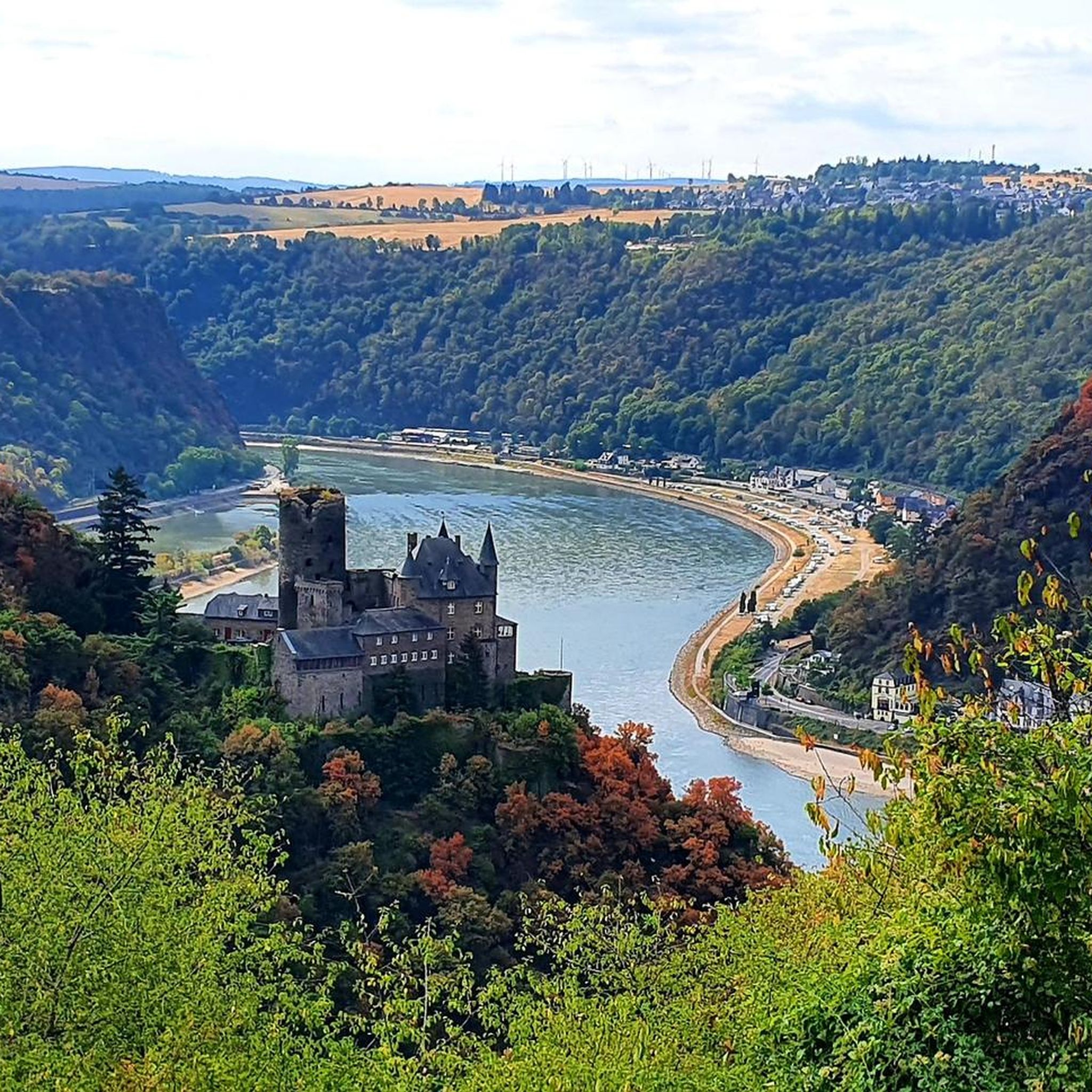
Tips from the Community

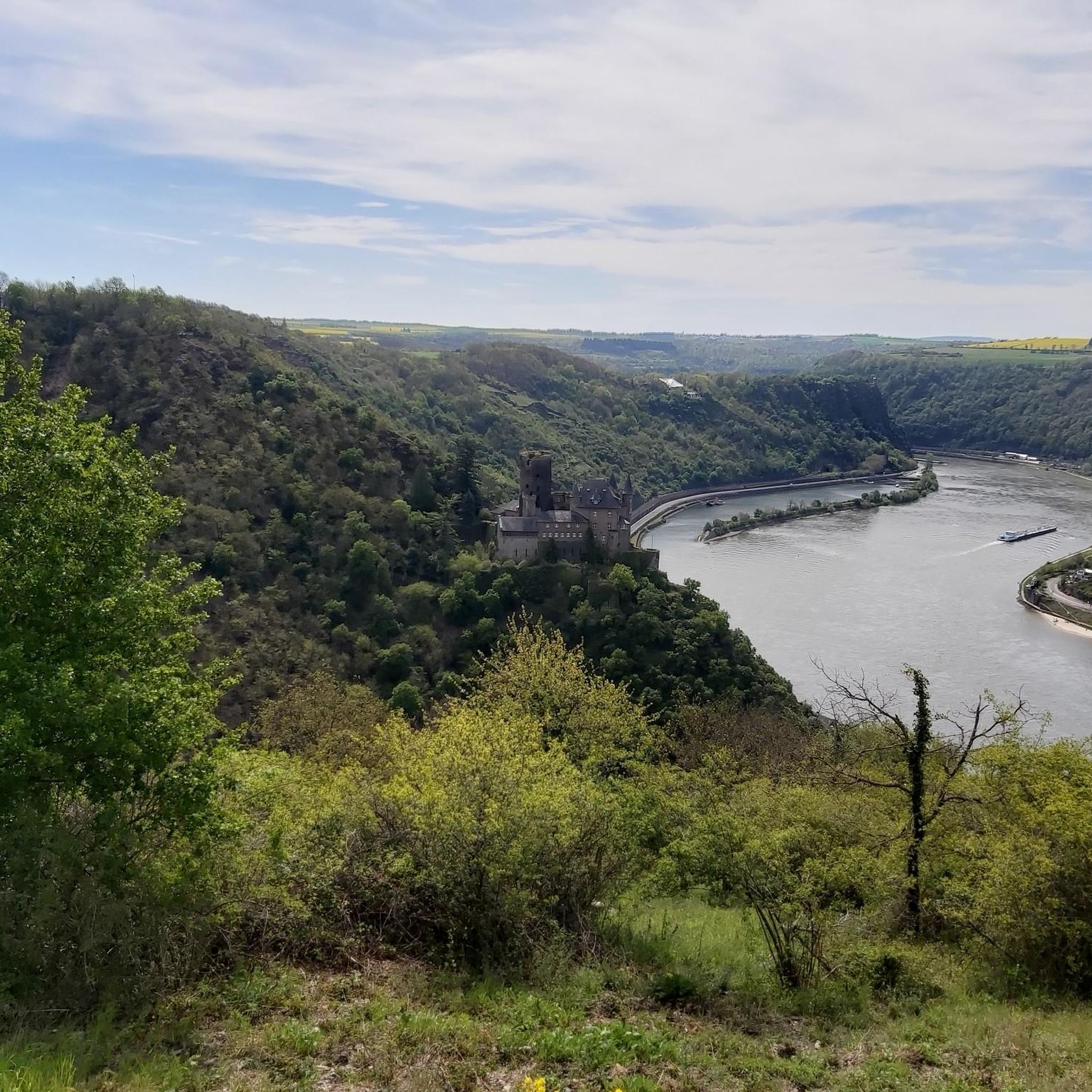
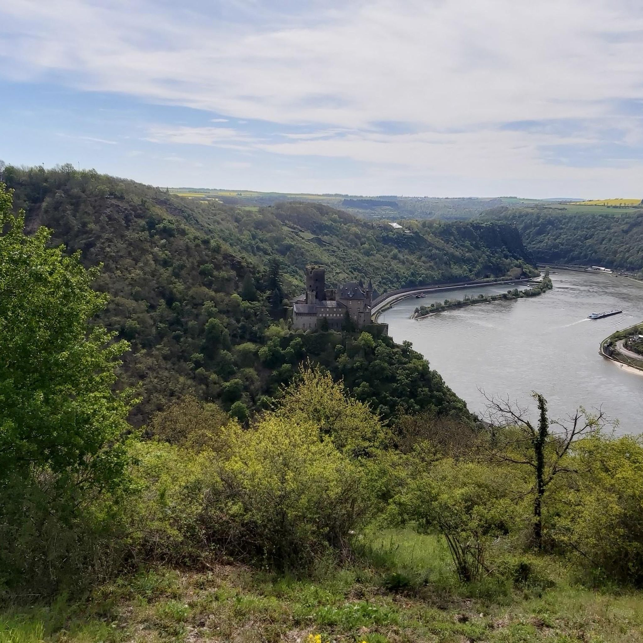
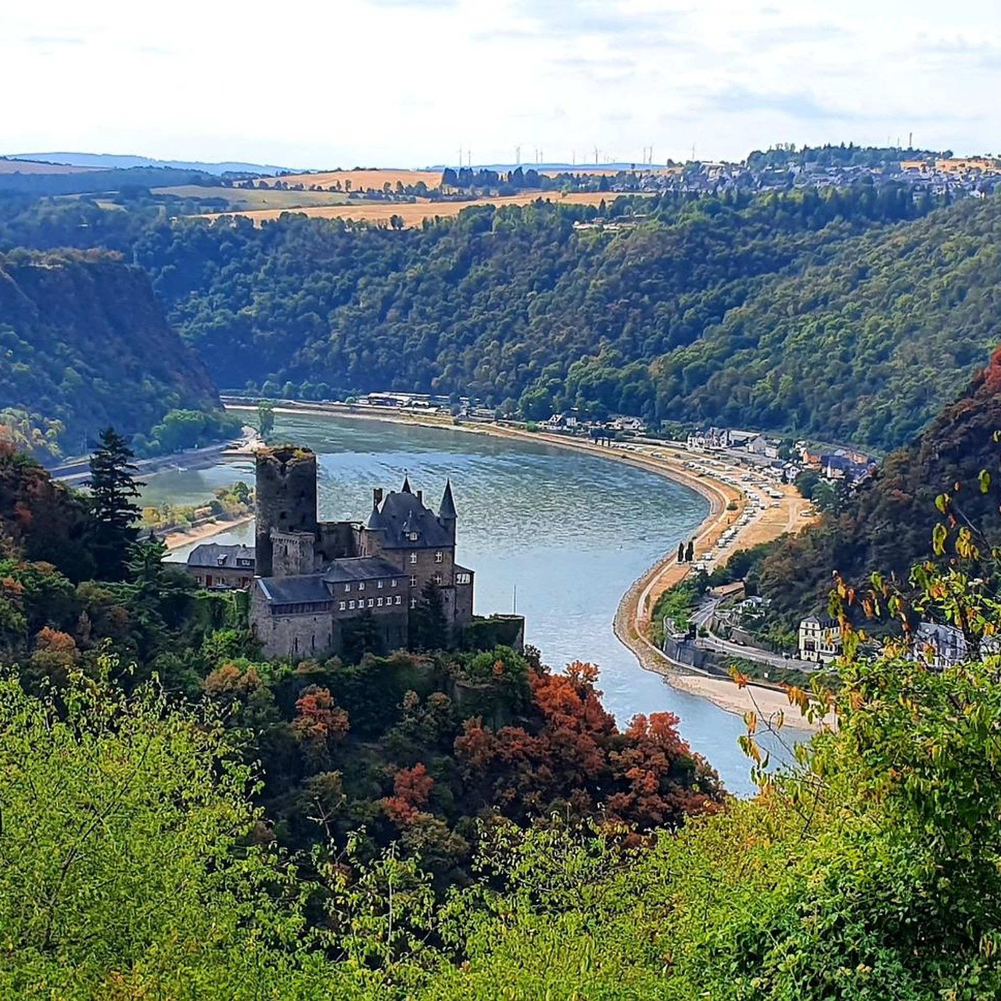
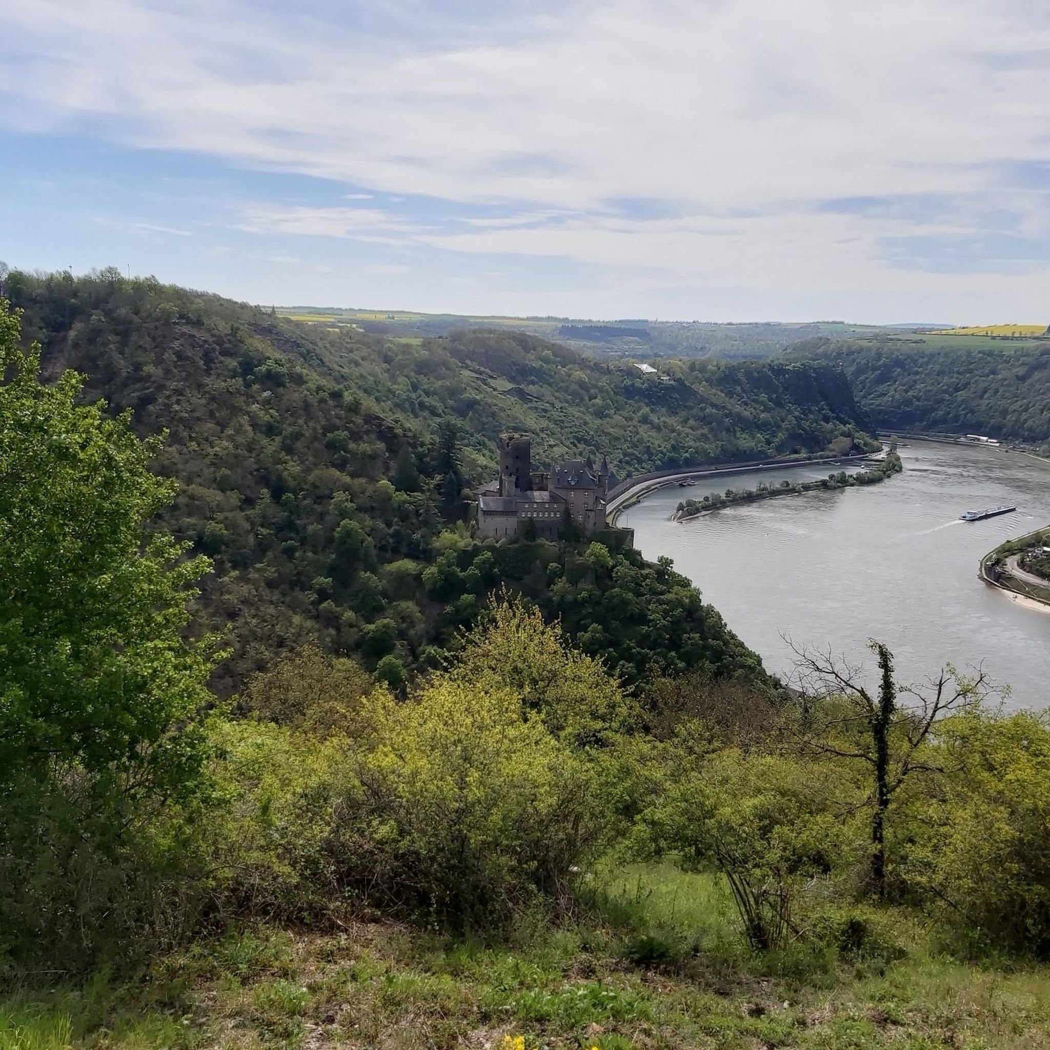
Again a beautiful point, with many opportunities for a beautiful photo.
8
0

There is really a great view at every point here, with the most beautiful photo motifs.
9
0

Great view of the Rhine Valley.
11
0

The Loreley open-air stage The Turner Labor Service began work on the Loreley open-air stage in 1932. The stage was originally intended for the RheinMain-Spielring, but this construction project was appropriated by the National Socialists the following year and rededicated as a "NS celebration site" and a "Thing site". The construction work lasted until 1939 and was carried out by members of the Labor Service. The spectators of the open-air stage received 4,300 seats and 10,000 to 14,000 standing places. The inauguration was on June 21, 1939. Only three days later, the first performance of Wilhelm Tell took place. The stage was not only intended for theatrical events, but was also intended to serve as a backdrop for large party events. Rock and pop concerts have also been held on the Loreley open-air stage since 1976. Genesis gave their first rock concert on July 3, 1976. On 6/17/78, Grace Slick refused to perform with Jefferson Starship, leading to riots and vandalism. "This also helped many amateur bands suddenly to have professional equipment in their rehearsal cellars" can still be read in the social networks today. From 1981, the Rockpalast also took place several times on the open-air stage. Many well-known artists performed, including BAP, Barclay James Harvest, Bob Dylan, Joe Cocker, Die Toten Hosen, Böhse Onkelz, Herbert Grönemeyer, Peter Maffay, Marillion, Gary Moore, Metallica, Chris Rea, Frankie Miller, Eric Burdon, Lynyrd Skynyrd, Udo Jürgens, Red Hot Chili Peppers, Carlos Santana, Paul Simon, Simple Minds, Sting, The Police, The Sisters of Mercy, Dus40, R.E.M. The Kelly Family, U2, Journey, Toto and Whitesnake. Source: Text information board / text excerpts from Wikipedia
14
1
In an exposed place The almost flat plateau of the Loreley high above the Rhine has been an ideal place for people to stay and settle since time immemorial. On the edge of the plateau, Paleolithic tools of Homo erectus made of rubble and flakes were found - at that time, about 800,000 years ago, the waves of the Rhine sloshed onto the bank at this point. When the hunters and gatherers settled down around 8000 AD, they also cleared forests on the Loreley plateau for agriculture. The so-called Bandkeramik people who lived at that time settled in large families in long wooden houses, which were divided into residential and commercial areas. Two long houses in the Loreley area from this period have been identified, in which decorated ceramic vessels were found. In the subsequent Bronze Age, the plateau was still inhabited, as can be proven by flat graves with urn burials from the epoch of the urn field culture (9th century BC). At the turn of the Celtic period (around 800 BC), when times became more troubled due to the invasion of Eastern European steppe peoples, the inhabitants fortified their settlement with a palisade wall. In the centuries that followed, this rampart was reinforced by a second ring and a ditch dug into the rock. Iron weapons and tools, bronze jewellery, ceramic vessels, numerous graves with extensive grave goods indicate the importance of the settlement and a certain wealth of the population in Celtic times. The plateau was also used in Roman times. The population, who mixed Roman influence with their Celtic roots, made a good living by supplying the Roman military on the Rhine and the nearby Limes with food and goods. Near the Loreley are the remains of a villa rustica (Roman estate) and an ancient water pipe from the 2nd to 4th centuries AD. The settlement was probably abandoned in the middle of the 5th century. Only as part of the Frankish conquest did the fertile plateau around the Loreley rocks be settled again from the 7th century. Source: text information board
17
2
Significant and fateful The origin of the name Loreley has only been partially clarified. The root of the word ley is the typical name for a slate rock in the Rhine Valley, which is why the craftsmen who covered the roofs with slabs of slate were called Leyendecker. For the first part of the name, however, there are various meaningful interpretations. The term may derive from luren, which means to lurk or look out. Certainly the rock was always an ideal place to observe the Rhine from here. On the other hand, the name could also mean that the rocks are lurking here for the boatmen or, at the foot of the mountain, the salmon catcher for his prey: However, the derivation from the word lurren, a medieval term for roaring, also makes sense: the roaring mountain as a reference to the extraordinary echo that was once heard here. After all, the name could also have been chosen in honor of the legendary dwarf king Laurin Luarin or the Celtic river god Lohra. In the Middle Ages. the entire central Rhine mountain range was named after the legendary rock. In the 10th or 11th century, an anonymous writer added the note Mons Lurlaberch - Loreleygebirge - to the description of a spook near Caputmontium, today's Bingen-Kempten, in the Fulda Annals from the 9th century to determine the location. The songs of medieval minnesingers express the extraordinary nature of the rock. Thus the Colmar song manuscript from the 13th century describes the dwarf living in the rock as the cause of the most unique echo: do horte: I answered a cleynes getwerc / uss the lorberg he seemed to me at all (then I heard a small dwarf coming out of the Loreleyberg seemed to answer) In the famous Heidelberger Liederhandschrift the Codex Manesse it even says: De Ymelunge hort lit in dem Lurlenberge (The Nibelungen Hort lies in the Loreleyberg). Source: text information board
15
2
masterpiece of nature With its inaccessible slopes, the rock massif of the Loreley forms a valuable habitat for animals and plants. The small-scale mosaic of bare stone, columns and cornices, crests and overhangs offers a suitable habitat for clans with the most varied of requirements and preferences. The hot, dry climate of the Rhine Valley and the sun exposure of the rock create the conditions for the occurrence of species that are actually at home in warmer regions of Europe and can only be found in a few places in Germany. A special feature of the Loreley rock are the spectacle shells, which in spring cover the rock with hundreds of bright yellow flowering cushions. The rare spleen fern, which survives weeks of drought unscathed, settles in the crevices of the rocks. On the rock platforms, species such as the bulbous leek, which originates from the Mediterranean region, and the feather grass, originally native to the steppes of south-eastern Europe, feel at home thousands of years ago they came here to the Middle Rhine through the Upper Rhine and the Danube Valley. A rare and unusual ornament is the diptam, which enchants in summer with its blooms and its orange-like scent. There are also numerous species among the woody plants that like it sunny and hot: rock cherry and rock maple, for example, which are nowhere as common in Germany as here in the Loreley valley. The fauna of the Loreley is just as diverse as the flora. The steep rocks are the territory of the smooth snake, which is absolutely harmless to humans and a real climber. There she meets, for example, the red-winged grasshopper, which is perfectly camouflaged on the rocks, but can be seen from afar in flight thanks to its glowing wings. The green lizard, which is as attractive as it is rare, prefers the less steep and more densely vegetated areas. Above all, the peregrine falcon often circles, which also likes to look for a place to nest here in the rocks. Source: text information board
17
1
Ancient and wrinkled The steep cliffs in the narrowest section of the Rhine Valley open up a view of the history of our landscape. They tell of the events of the past millions of years and bear witness to the unimaginable forces that shaped their appearance today. The Loreley owes its special shape to the geological development, without which the myth would never have come about. The history of the Loreley began 400 million years ago. At that time, in the Devonian period, the area of what is now the Middle Rhine was near the South Pole in a strait between two continents. Over thousands of years, material was deposited on their soil, which the rivers had washed in from the continents that were still bare of vegetation. Under the weight of the hundreds of meters of sediment that followed, the rocks that make up the rocks today were formed: slate and sandstone. In the subsequent Carboniferous epoch, the continents moved towards each other due to shifts in the earth's crust and collided. As a result, the sea space in between was pushed together and folded, and the former sea floor was raised to form a mountain range around 320 million years ago. The gentle landscape of the plateau above the rocks bears witness to the time when the Rhine, a few million years ago, at the end of the Tertiary, flowed north as a sluggish, meandering stream in a wide valley. The Loreley plateau was formed about a million years ago during the first great ice age, when the Rhine created a level bed here. The steep rock face is the result of the most recent events in the history of the earth: Driven by the forces in the hot interior of the earth, the Rhenish Slate Mountains are being raised. This forces the river to dig deeper and deeper into the rock. In doing so, he changes direction, using weak zones in the earth's crust. This resulted in the large number of loops, the narrowest of which prepared the Loreley rock out of the rock over the course of almost a million years. Source: text information board
16
2
Frequently Asked Questions
What are the most prominent natural landmarks near Patersberg?
Patersberg is situated within the stunning Upper Middle Rhine Valley, a UNESCO World Heritage site. The most prominent natural features include the dramatic Rhine Gorge and the legendary Lorelei Rock. These offer breathtaking views and are steeped in history and folklore.
Are there viewpoints to enjoy the natural beauty around Patersberg?
Yes, the region boasts several excellent viewpoints. You can visit the View of the Loreley Rock for commanding views over the Rhine River. Another fantastic spot is the Felsenkanzel Viewpoint Overlooking the Rhine and the Loreley, which offers magnificent panoramas towards Oberwesel and the Loreley rock.
What kind of natural features can I expect to see in the Patersberg area?
The landscape around Patersberg is characterized by dramatic river gorges, prominent rock formations, and scenic viewpoints. The Rhine River itself is a central feature, winding through steep hills and vineyards. You'll encounter a unique blend of natural beauty and cultural history, especially within the Upper Middle Rhine Valley.
Are there family-friendly natural monuments to visit near Patersberg?
Absolutely. Many of the natural monuments and viewpoints are suitable for families. For instance, both the View of the Loreley Rock and the Loreley Statue on the Rhine are considered family-friendly. The Spitzenstein Observation Tower also offers an engaging experience for all ages with its historical context and views.
What outdoor activities can I do near these natural monuments?
The area around Patersberg is ideal for various outdoor activities. You can explore numerous hiking trails that lead to picturesque natural attractions. Cycling is also very popular, with routes like "St. Goar through the Northern Upper Middle Rhine Valley" available. For more adventurous riders, there are also MTB trails. Find more details on routes in the area on our hiking, cycling, and MTB guides for Patersberg.
Are there hiking trails that lead to the natural monuments?
Yes, Patersberg provides access to numerous hiking trails that lead directly to or offer views of the natural monuments. Trails like the Rheinsteig offer routes with breathtaking panoramas, including the Loreley. You can find several hiking routes, such as the "Loreley Circular Trail," in our dedicated hiking guide for Patersberg.
What is the best time of year to visit the natural monuments around Patersberg?
The Upper Middle Rhine Valley is beautiful year-round. Spring and autumn offer pleasant temperatures for hiking and cycling, with vibrant foliage in autumn. Summer is popular for boat trips on the Rhine and enjoying the outdoor cafes. Even winter can be charming, with a unique, serene atmosphere, though some services might be limited.
What historical or cultural significance do these natural monuments hold?
The entire Upper Middle Rhine Valley is a UNESCO World Heritage site, recognized for its unique blend of natural beauty and cultural history. The Lorelei Rock, for example, is not only a striking natural formation but also deeply embedded in German folklore, famously associated with a siren. The region is dotted with ancient castles and historic towns, adding to its rich heritage.
What do visitors enjoy most about the natural monuments in this region?
Visitors consistently praise the spectacular views, especially from spots like the View of the Loreley Rock and the Felsenkanzel Viewpoint. The combination of the dramatic river landscape, historic castles, and the romantic atmosphere of the Middle Rhine is highly appreciated. The rich folklore surrounding the Loreley also adds a unique charm to the experience.
Is public transport available to access the natural monuments near Patersberg?
While Patersberg itself is a village, the wider Rhein-Lahn district and the Upper Middle Rhine Valley are well-connected by public transport, particularly by train and boat services along the Rhine. These services can bring you close to many natural monuments and trailheads. It's advisable to check local bus and train schedules for specific access points to hiking trails and viewpoints.
Are there any hidden natural gems or less-known spots worth exploring?
While the Loreley is the most famous, the entire Rhine Gorge offers countless smaller, equally beautiful spots. Exploring the extensive network of hiking trails around Patersberg often leads to secluded viewpoints and peaceful natural settings away from the main tourist hubs. Keep an eye out for local signage and smaller paths that might reveal hidden natural beauty.
Most popular routes around Patersberg
Most popular attractions around Patersberg

Get inspired with the komoot mobile app


Explore more
Extend your search for the best caves by checking out these guides of the top ones around Patersberg:
