Top 6 Mountain Passes around Abtsteinach
Best mountain passes around Abtsteinach are found within the Odenwald region of Hesse, Germany. This area is characterized by its hilly and mountainous terrain, offering numerous trails that traverse local elevations. The landscape provides opportunities for hiking, mountain biking, and scenic views. Its high-lying nature contributes to a cooler climate, making it suitable for outdoor activities throughout the year.
Best mountain passes around Abtsteinach
- The most popular mountain passes is Juhöhe, a settlement that serves as a small town…
Last updated: August 18, 2026
Juhöhe
Highlight • Settlement
Translated by Google •
Tip by

Shrine at the Kalter Herrgott
Highlight • Monument
Translated by Google •
Tip by

Sign up now to discover places like this
Get recommendations on the best single tracks, peaks, & plenty of other exciting outdoor places.
Sign up for free
Kreidacher Höhe (430m) - Odw. 🚴♂️
Highlight • Mountain Pass
Translated by Google •
Tip by

Münchel Pass and Shelter
Highlight • Mountain Pass
Translated by Google •
Tip by

Descent from the Münchel Pass to Ziegelhausen
Highlight (Segment) • Trail
The route over the Münchelpass is the old connecting road from Ziegelhausen to Schönau
Translated by Google •
Tip by

Sign up for free to discover even more mountain passes around Abtsteinach.
Sign up for free
Already have an account?
Start today with a free account
Your next adventure awaits.
Login or Signup
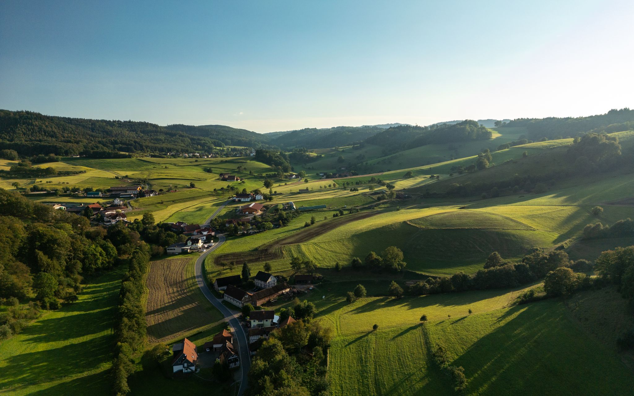
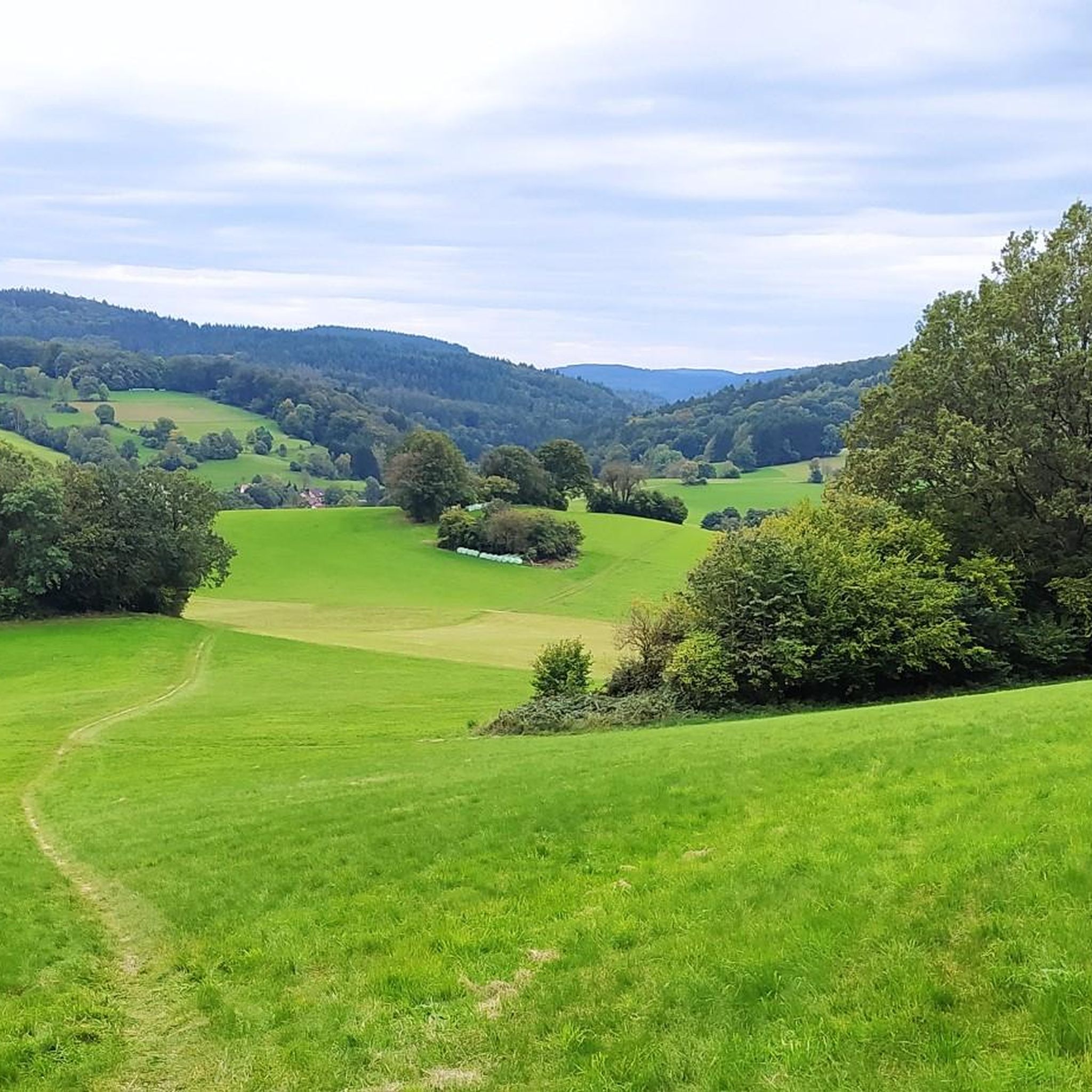
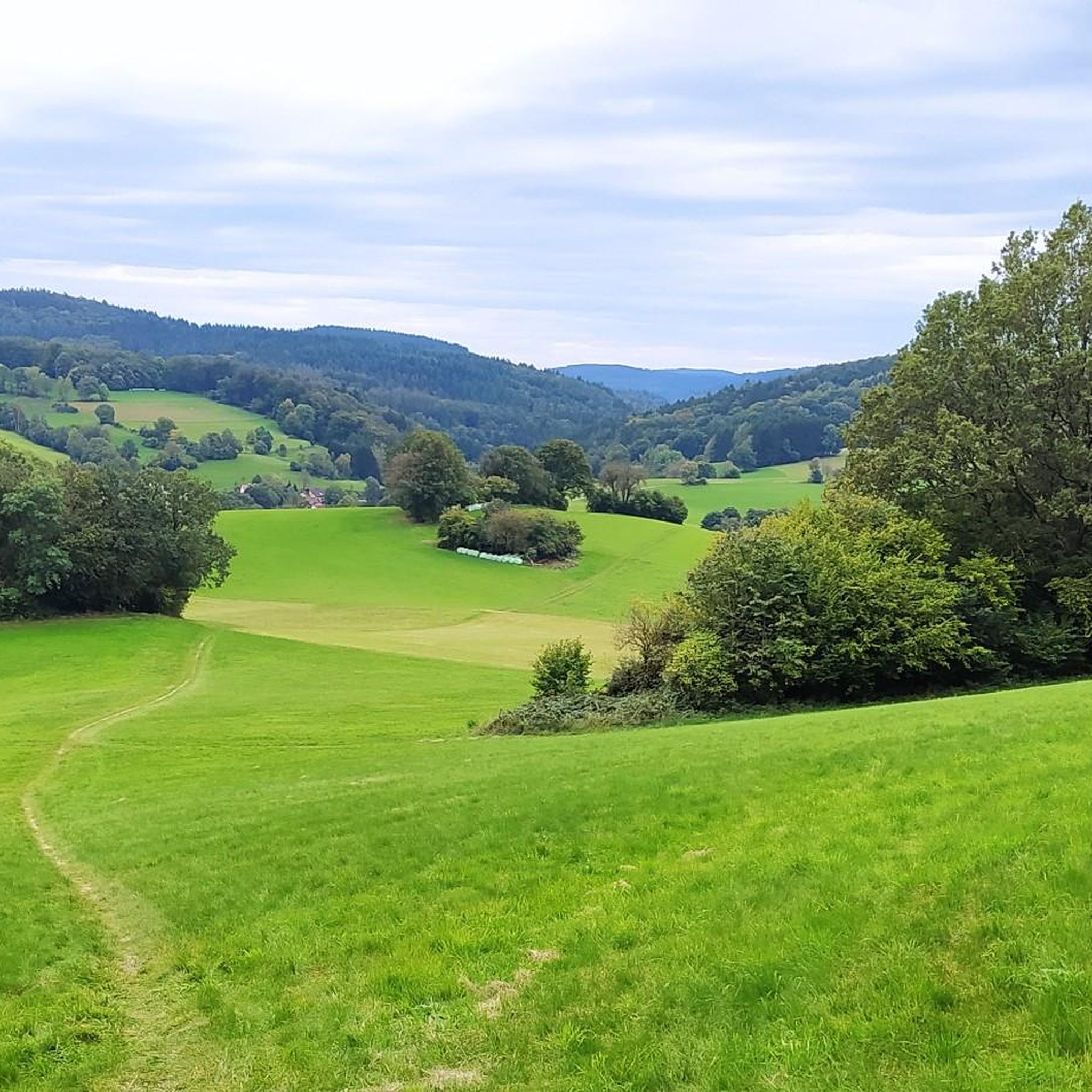
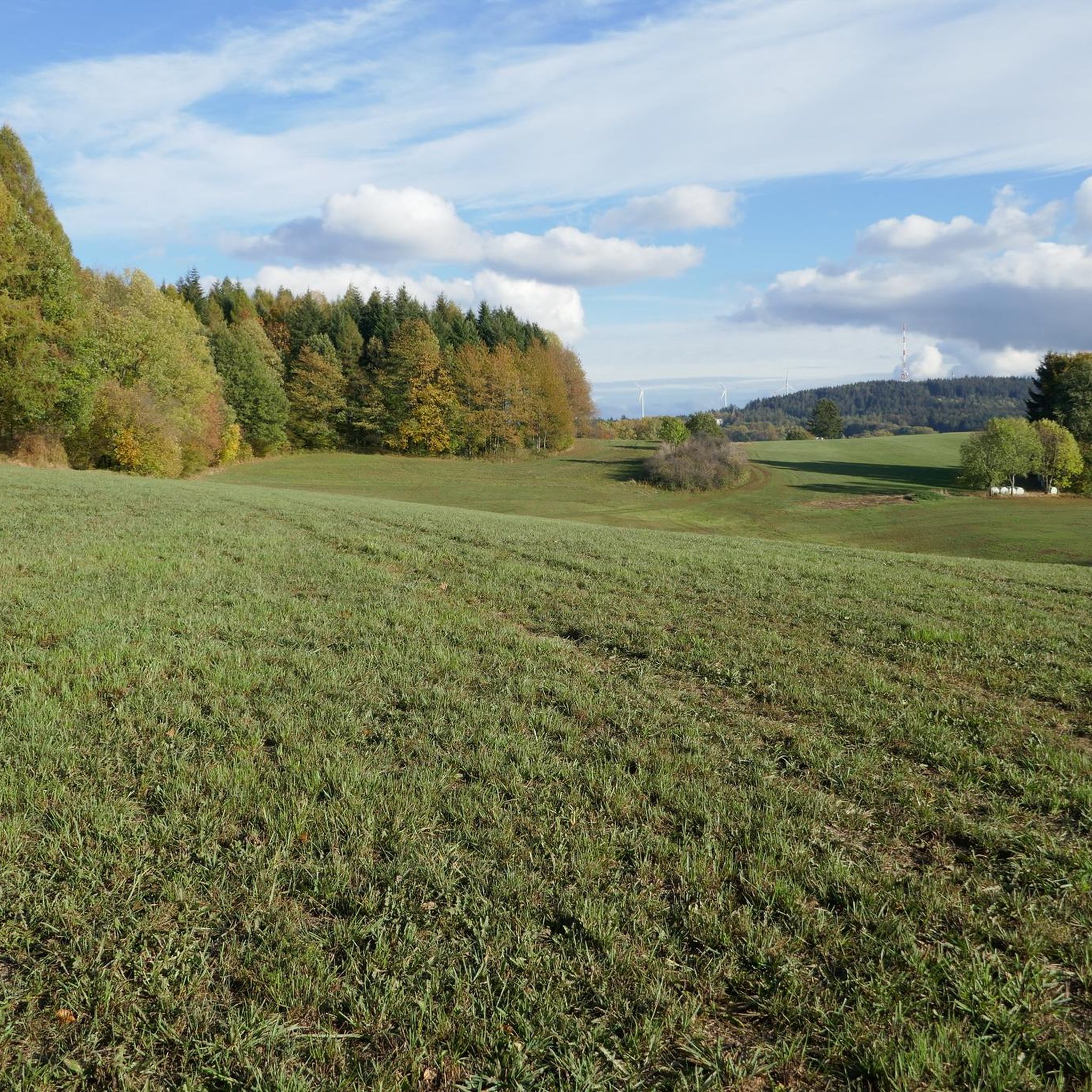
Other adventures around Abtsteinach

Tips from the Community

The mountain saddle between Ritschweier and Kunzenbach is called "cold Lord God". And today he lived up to his name, it was actually very sunny, but the icy wind was not without it. The age of the wayside shrine is not known. Today, behind a lattice, the wayside shrine houses an image of a farmer with a fully loaded harvest wagon. On August 12, 1922, the farmer Valentin Müller had a fatal accident here.
1
0

When it rains, she asks for protection, otherwise there are many junctions that lead to the rapid descent.
0
0
Yes, the descent is very fast, but it gets flatter at the bottom.
0
1

A beautiful hill with a great view.
0
0

An ice-cold wind often blows at the height in winter. Hence the wayside shrine got its name.
0
0

Cooking cheese schnitzel and mega delicious rump steaks
0
0

Wayside shrine at the old Lord
0
0

Great view when you come out of the as - but it can also be pretty windy up here ... I was lucky today 🍀 and the weather was great.
2
0
Frequently Asked Questions
What are some notable elevated points or 'mountain passes' to explore around Abtsteinach?
The region around Abtsteinach, part of the Odenwald, features several elevated points and routes that offer experiences similar to traditional mountain passes. Notable spots include Juhöhe, a settlement known for its views and facilities, and the Kreidacher Höhe (430m) - Odw. 🚴♂️, which even features a rare pass sign and nearby recreational activities.
What kind of views can I expect from the elevated points around Abtsteinach?
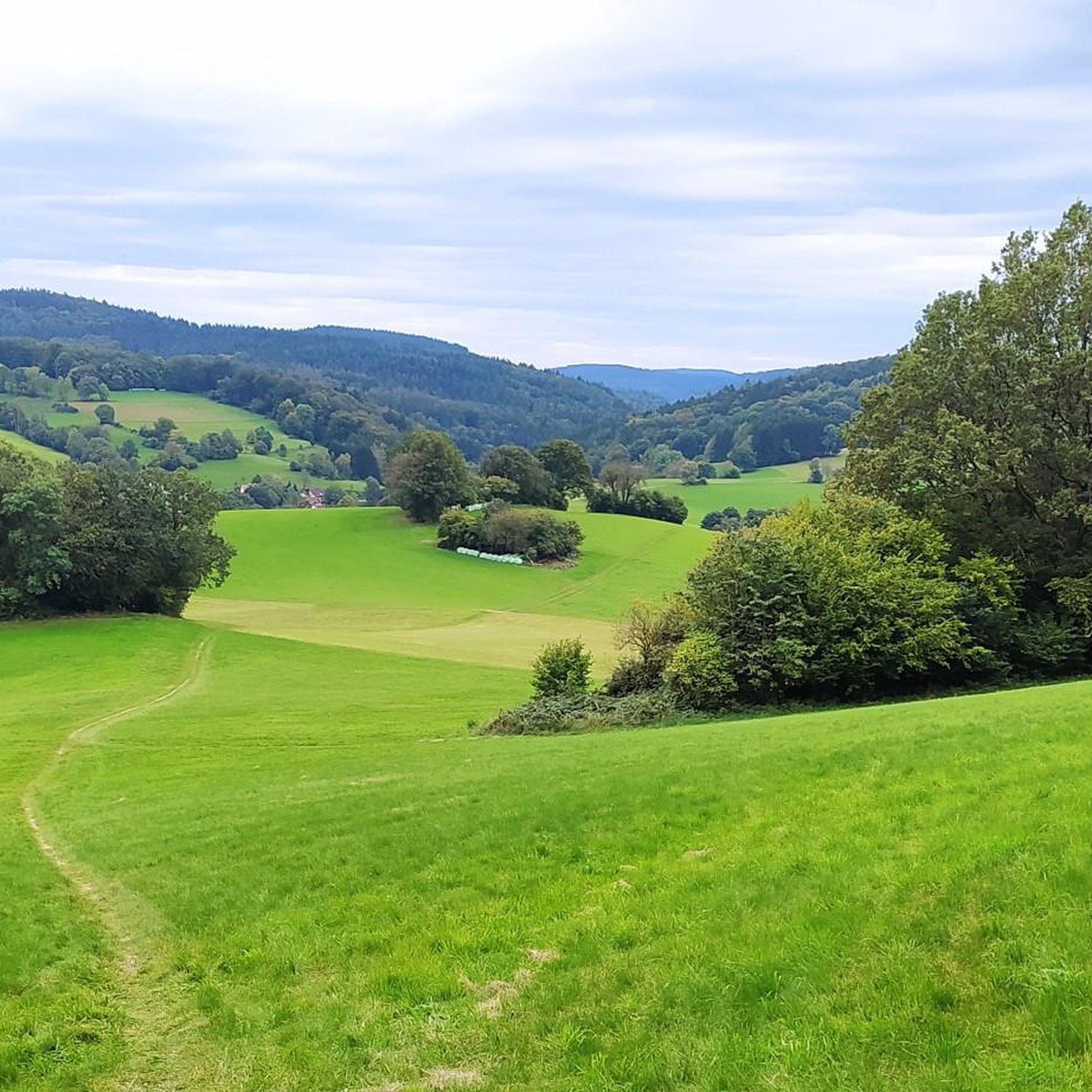
Many elevated points in the Abtsteinach area offer extensive and beautiful panoramic views. From the Juhöhe, you can see the green Odenwald landscape. The Hardberg, as the highest elevation, provides views over the Vorderer Odenwald and, on clear days, as far as the Rhine plain and the Palatinate Forest. The Götzenstein also offers excellent views towards Löhrbach and the Rhine plain.
Are there any historical or cultural sites among the mountain passes?
Yes, the region combines natural beauty with historical significance. The Shrine at the Kalter Herrgott is a man-made monument with a unique name and historical context. Additionally, the Götzenstein, a 522-meter-high peak with massive granite blocks, is believed to have been a Celtic cult site.
What outdoor activities are popular in the Abtsteinach mountain region?
The hilly and forest-rich landscape around Abtsteinach is ideal for various outdoor activities. Hiking and mountain biking are particularly popular, with numerous trails traversing the local mountains. Cross-country skiing is also possible on the groomed Hardberg trail during winter. You can find many routes for cycling, running, and mountain biking in the area.
Are there specific hiking trails that offer panoramic views?
Absolutely. The 'Panoramaweg Abtsteinach' is a challenging hiking trail that leads past five elevations above 500 meters, rewarding hikers with beautiful panoramic views. It often incorporates parts of the Hardberg and Waldskopf. Many other trails also lead over or past peaks like Hardberg, offering extensive vistas.
Can I find mountain biking routes in the Abtsteinach area?
Yes, Abtsteinach is known for its mountain biking opportunities. There are uniformly signposted routes like the 'Abtsteinach A1' trail, which covers 27.5 km with 700 meters of elevation change. These routes often include varied terrain and impressive distant views, though they can be physically demanding. Explore more MTB trails around Abtsteinach.
What is the best time of year to visit the mountain passes around Abtsteinach?
The Abtsteinach region is appealing year-round due to its relatively cooler climate. Summers offer refreshing conditions for hiking and biking. In winter, the higher elevations, particularly around the Hardberg, can receive snow, making it suitable for cross-country skiing. Spring and autumn provide beautiful scenery with blooming nature or vibrant fall colors.
Are there family-friendly options or activities near the elevated routes?
Yes, the area offers family-friendly activities. Near the Kreidacher Höhe (430m) - Odw. 🚴♂️, you'll find a fast-paced summer toboggan run (Alpine Coaster) and a climbing forest, which are great for families. Many trails are also suitable for family hikes, and the Juhöhe is listed as family-friendly with facilities for breaks.
What facilities are available at or near these mountain passes?
Some elevated points offer facilities for visitors. The Juhöhe, for instance, is a small settlement with cafés where you can strengthen yourself. Near the Kreidacher Höhe (430m) - Odw. 🚴♂️, you can find recreational activities like a summer toboggan run and a climbing forest. For more extensive amenities like cafes, pubs, and accommodation, you would typically find them in the nearby towns and villages.
Are there challenging routes for experienced hikers or cyclists?
Yes, the Abtsteinach region offers challenging options. The 'Panoramaweg Abtsteinach' is described as a challenging hiking trail. For mountain bikers, routes like the 'Abtsteinach A1' trail are physically demanding. The varied terrain and significant elevation changes across the Odenwald provide ample opportunities for experienced outdoor enthusiasts seeking a challenge.
What do visitors enjoy most about the mountain passes around Abtsteinach?
Visitors frequently appreciate the stunning panoramic views, especially from points like the Hardberg and Götzenstein. The diverse terrain for cycling and hiking, combined with the opportunity for breaks at places like Juhöhe, is also highly valued. The unique historical sites, such as the Shrine at the Kalter Herrgott, also add to the appeal.
Are there any specific descents or ascents that are popular for cycling?
Yes, the area features popular routes for cyclists. The Descent from the Münchel Pass to Ziegelhausen is known for its good asphalt and fast ride. Conversely, the Gentle Ascent to Münchelpass offers an alternative to steeper roads, following the Hasselbacher Hof on a slight incline with an old asphalt surface.
Most popular routes around Abtsteinach
Most popular attractions around Abtsteinach

Get inspired with the komoot mobile app


Explore more
See even more epic mountain passes by checking out these guides around Abtsteinach:
