The 2 Most Amazing Peaks around Naundorf
Best mountain peaks around Naundorf, located in the Sächsische Schweiz-Osterzgebirge region of Saxony, Germany, features a hilly landscape with an average elevation of 533 meters. While not characterized by towering peaks, the area offers notable elevations and viewpoints. The highest point in the immediate vicinity reaches approximately 650 meters. These elevated spots provide scenic experiences and local attractions for visitors.
Best mountain peaks around Naundorf
- The most popular mountain peaks is Albert Tower on the Collmberg, a man-made monument…
Last updated: June 24, 2026
Albert Tower on the Collmberg
Highlight • Monument
Translated by Google •
Tip by

Eicherdthöhe
Highlight • Monument
Translated by Google •
Tip by

Sign up now to discover places like this
Get recommendations on the best single tracks, peaks, & plenty of other exciting outdoor places.
Sign up for free
View of Colmberg from the rest area
Highlight • Viewpoint
Translated by Google •
Tip by
View of Collm Hill
Highlight • Viewpoint
Translated by Google •
Tip by

MB400 CP7 Collmberg - UP Cycling Team
Highlight • Summit
Tip by

Start today with a free account
Your next adventure awaits.
Login or Signup
Tips from the Community

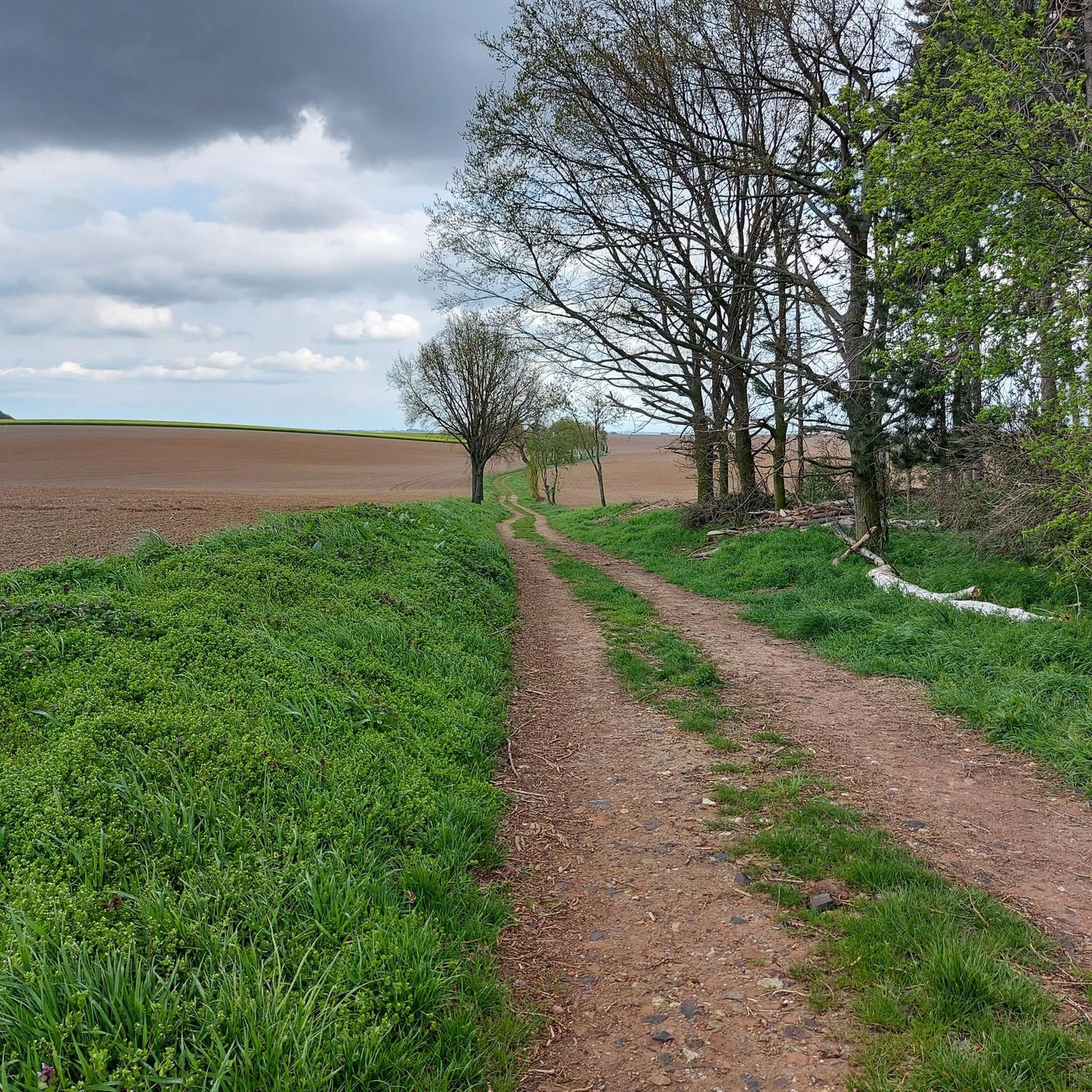
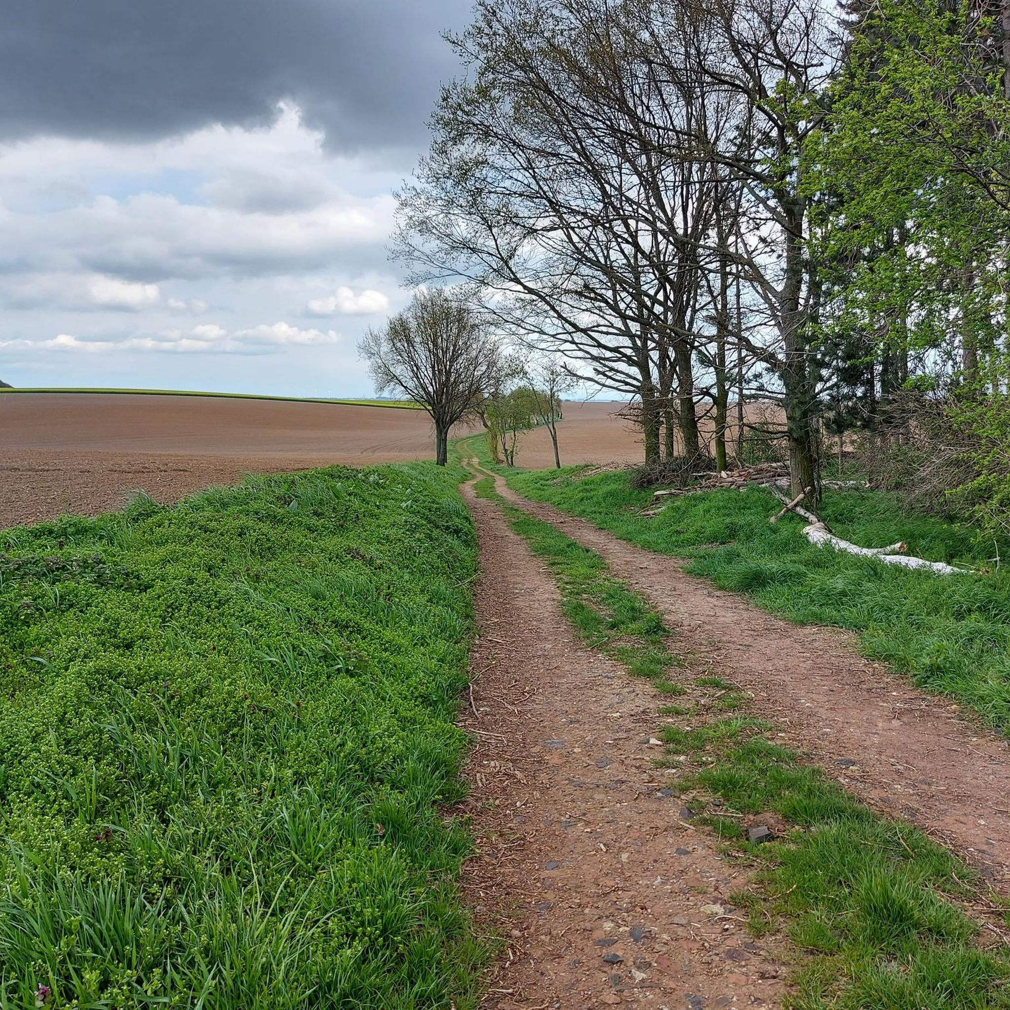
Cobblestone road up to the Albert Tower, MTB super...challenging with the racing bike
0
1

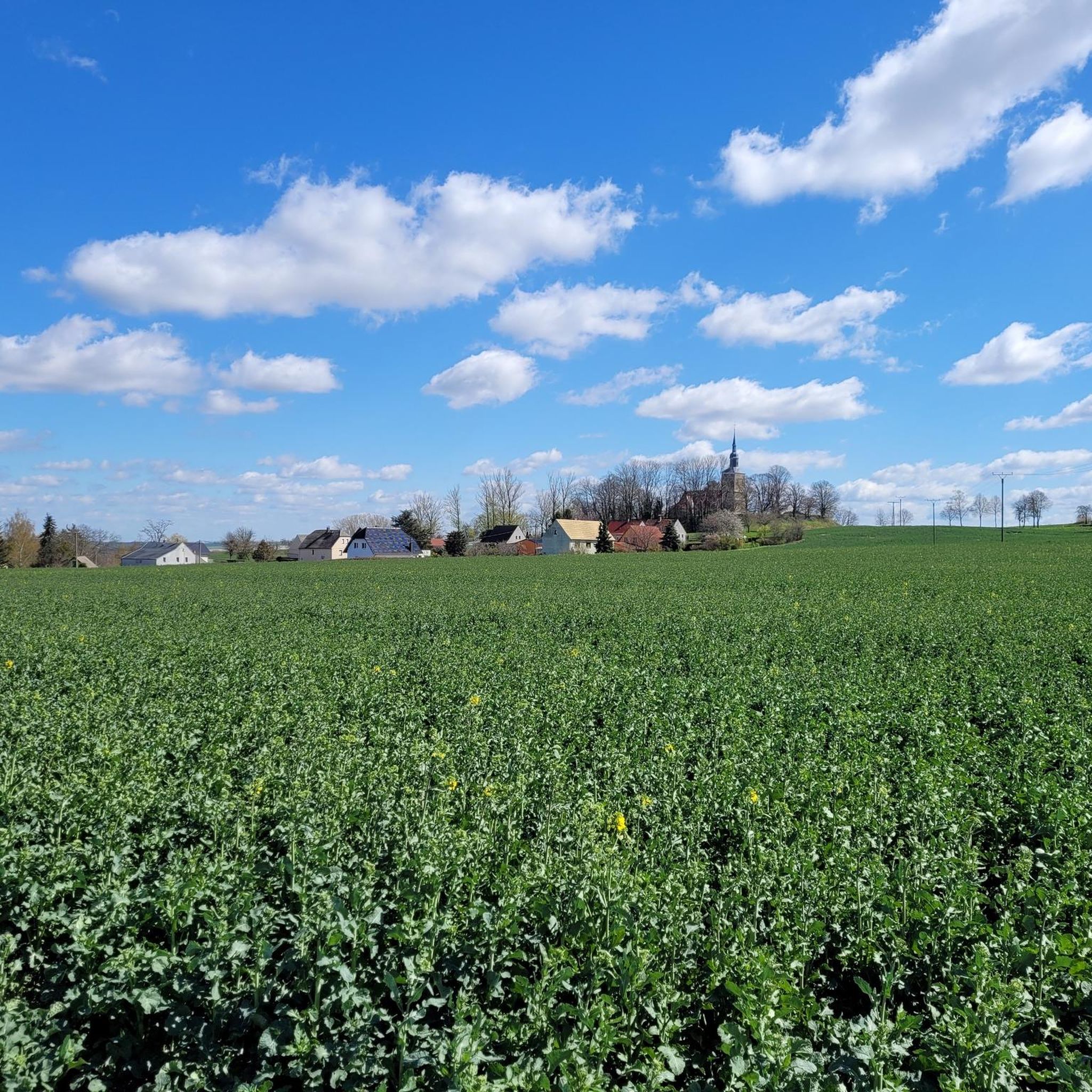
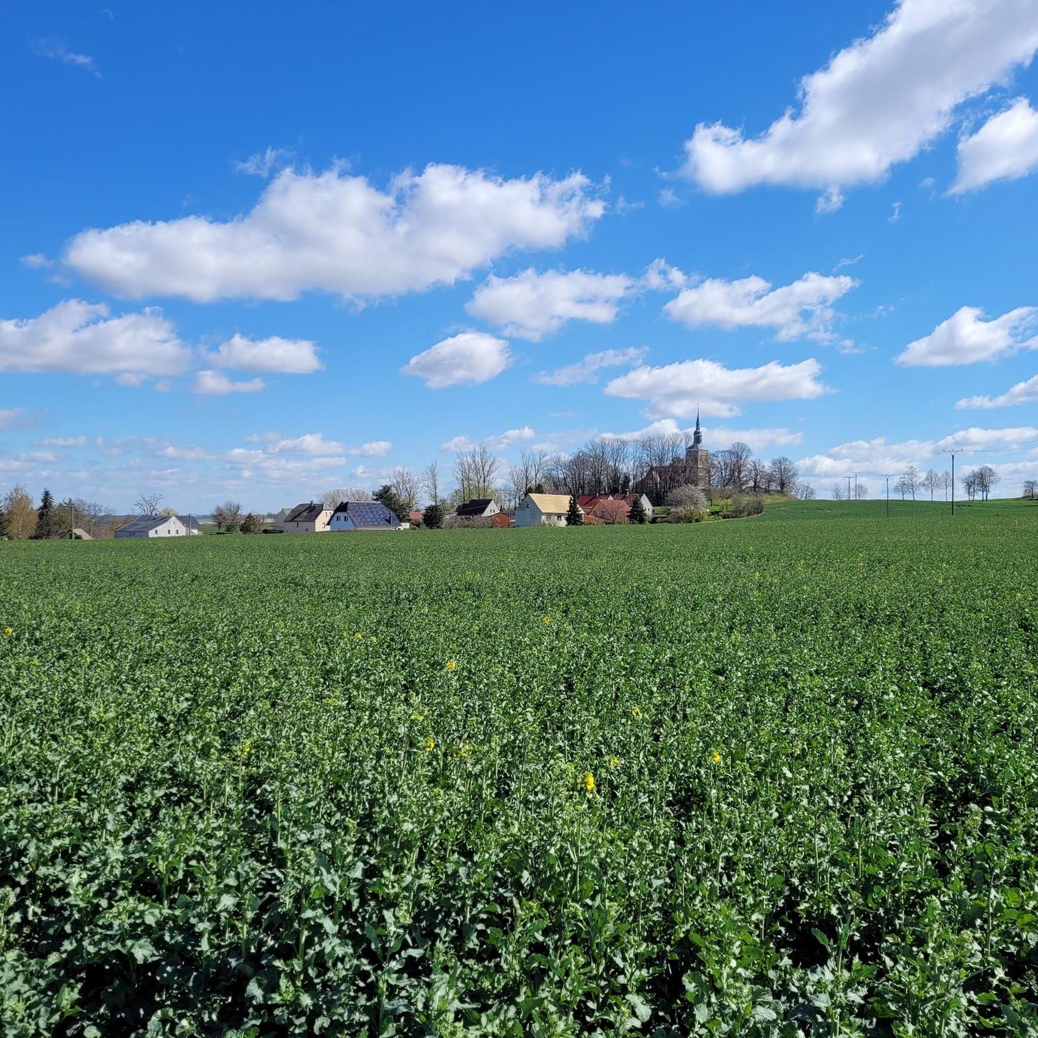
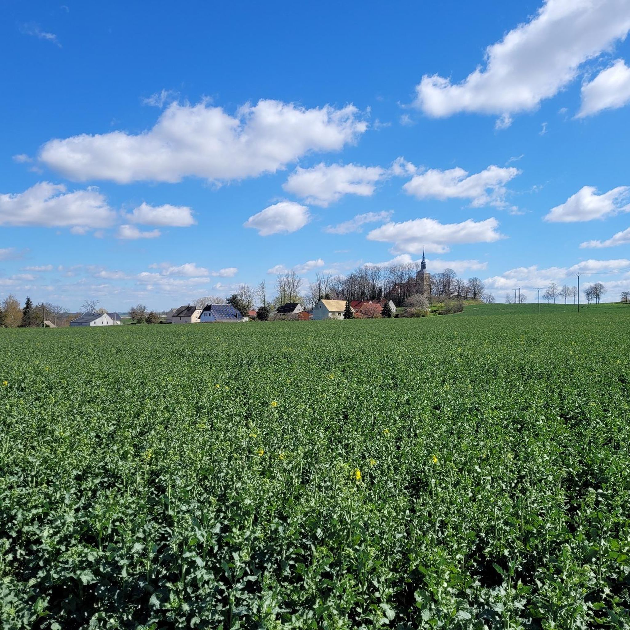
The Collm can be seen from afar. In front of the village of Collm you can see the course of the road high up Collm where there are trees without leaves.
0
0

UP Cycling Team from Leipzig provides a checkpoint right on top of the Collmberg, a Leipzig favourite for the hill-bereft city cyclists. Famous for its cobblestone surface, it's an absolute highlight for MB400 2023.
0
0

radio tower collm The Oschatz transmitter is a basic network transmitter of Deutsche Funkturm GmbH for broadcasting radio signals. It is located on the Collm six kilometers west of Oschatz. A 90 meter high reinforced concrete tower, which was built in 1960, was originally used as the antenna carrier. @wikipedia
5
1

When the weather is nice, you have a very wide view (among other things, you can see the Monument to the Battle of the Nations in Leipzig). To get to the tower, you have to overcome 102 steps.
6
2

The Eichardthöhe station of the Royal Saxon Triangulation is one of many measuring points in Saxony.
1
0

"The Royal Saxon Triangulation (here with the historical proper name) is a land survey carried out in the years 1862 to 1890 on the territory of the Kingdom of Saxony with simultaneous creation of a trigonometric network. The aim was to precisely record the national territory scientifically and geodetically and to create the basis for the production of precise maps by defining permanently marketed fixed points. " % C3% A4xian_triangulation From the Eichhardthöhe v.N. the following stations targeted: Collmberg, Hohenwussen, Schleinitzhöhe, Wetterhöhe, Reichenbachhöhe, Kreuz (Hartha, clearly recognizable by the large wind turbines), Deditzhöhe
1
0

Already 360 years ago, the hunting-loving Elector George I had the idea of building a lookout tower on the Collmberg, but it was not until 1851 that the construction of the Albert Tower was possible thanks to donations from many nature and local friends, and so it was laid on the top of the Collmberg Cornerstone. In April 1854 the 18 m high tower was opened for climbing.
6
0
Frequently Asked Questions
What are the most notable elevated points or "peaks" to visit around Naundorf?
While Naundorf itself is characterized by a hilly landscape rather than towering mountains, the broader region offers several significant elevated points. The most prominent include the Albert Tower on the Collmberg, which offers panoramic views, and the Eicherdthöhe, known for its historical significance as a measuring station.
Are there historical sites or cultural landmarks among the peaks near Naundorf?
Yes, both the Albert Tower on the Collmberg and the Eicherdthöhe are significant historical sites. The Albert Tower, built in 1854, houses a monolith for the Royal Saxon triangulation, playing a central role in Saxony's land surveying. The Eicherdthöhe is also a historic measuring station from the Royal Saxon Triangulation.
What kind of views can I expect from the elevated points around Naundorf?
From the Albert Tower on the Collmberg, you can enjoy a fantastic, wide view, with visibility extending to the Monument to the Battle of the Nations in Leipzig on clear days. The Eicherdthöhe offers beautiful views over the Muldental to the Saxon granulite mountains and even the Ore Mountains with good visibility.
Are there family-friendly options for exploring the elevated points near Naundorf?
Yes, the Eicherdthöhe is considered family-friendly. Additionally, the View of Collm Hill is also noted as family-friendly, offering pleasant spots for all ages to enjoy the scenery.
What is the best time of year to visit the peaks around Naundorf?
The observation tower "Otto's Eck" in Naundorf (Dippoldiswalde) is accessible from April to October on weekends and public holidays. For the other elevated points like the Collmberg, spring, summer, and autumn generally offer the best weather for hiking and enjoying the panoramic views. Winter can also be beautiful, but trails might be more challenging due to snow or ice.
Are there hiking trails associated with these elevated points?
Yes, there are various hiking opportunities. For example, the Albert Tower on the Collmberg is a popular destination for hikers. You can find numerous hiking routes around Naundorf, including easy options like the "Old Cemetery Jahna – Picnic area by the pond loop from Salbitz" or the "St. Katharinen Church Naundorf – Book cell loop from Naundorf". Explore more options in the Hiking around Naundorf guide.
What other outdoor activities can I do near the peaks around Naundorf?
Beyond hiking, the region around Naundorf is excellent for cycling. You can find traffic-free bike rides suitable for touring bikes and mountain bikes. Routes like "Albert Tower on the Collmberg – Albert Tower on Collmberg loop from Mügeln (b Oschatz) Stadt" offer great experiences. Discover more cycling routes in the Traffic-free bike rides around Naundorf guide.
How can I access the Albert Tower on the Collmberg?
The Albert Tower on the Collmberg is located on the 312-meter high Collmberg. To reach the top of the tower itself, you need to ascend 102 steps. The area is well-suited for hikers and cyclists, with well-kept benches inviting visitors to rest.
Are there any challenging climbs or routes for experienced cyclists near Naundorf's peaks?
Yes, the climb to the Collmberg summit is known for its challenging cobblestone surface, making it a highlight for mountain bikers and experienced road cyclists, especially as part of events like the MB400. It's a favorite for cyclists seeking a demanding ascent.
What are some easy hiking options around Naundorf?
For easy hiking, consider routes like the "Old Cemetery Jahna – Picnic area by the pond loop from Salbitz" (5.7 km) or the "St. Katharinen Church Naundorf – Book cell loop from Naundorf" (2.6 km). These offer gentle terrain suitable for a relaxed walk. More easy options are available in the Hiking around Naundorf guide.
Can I bring my dog on trails around the Naundorf peaks?
While specific dog-friendly designations for each peak are not always available, many natural trails and hiking routes in the region are generally accessible for dogs, provided they are kept on a leash. Always check local regulations or signage for specific restrictions in certain areas or protected zones.
Most popular routes around Naundorf
Most popular attractions around Naundorf

Get inspired with the komoot mobile app


Explore more
See even more amazing summits around Naundorf with these guides:
