Top 20 Natural Monuments around Geschendorf
Natural monuments around Geschendorf offer diverse landscapes and unique geological features. The region is characterized by significant natural features such as the Kalkberg, a mountain composed of gypsum and anhydrite, and the Großer Segeberger See, a lake with distinctive geological origins. These notable landmarks provide scenic viewpoints and opportunities for outdoor exploration. The area's natural environment showcases a blend of geological history and water bodies.
Best natural monuments around Geschendorf
- The most popular natural monuments is Kalkberg, Bad Segeberg,…
Last updated: July 8, 2026
Kalkberg, Bad Segeberg
Highlight • Natural Monument
The view in good weather is fantastic.
And it is the only rock mountain in the big circle! The next one should be in the Harz …
Translated by Google •
Tip by

Herrenteich Reinfeld
Highlight • Lake
Translated by Google •
Tip by

Sign up now to discover places like this
Get recommendations on the best single tracks, peaks, & plenty of other exciting outdoor places.
Sign up for free
Lake Ihl
Highlight • Lake
Translated by Google •
Tip by

Fischhuser Bridge over the Herrenteich, Reinfeld
Highlight • Bridge
Translated by Google •
Tip by

Upper Herrenteich Nature Reserve
Highlight • Lake
Translated by Google •
Tip by
Sign up for free to discover even more natural monuments around Geschendorf.
Sign up for free
Already have an account?
Start today with a free account
Your next adventure awaits.
Login or Signup
Tips from the Community

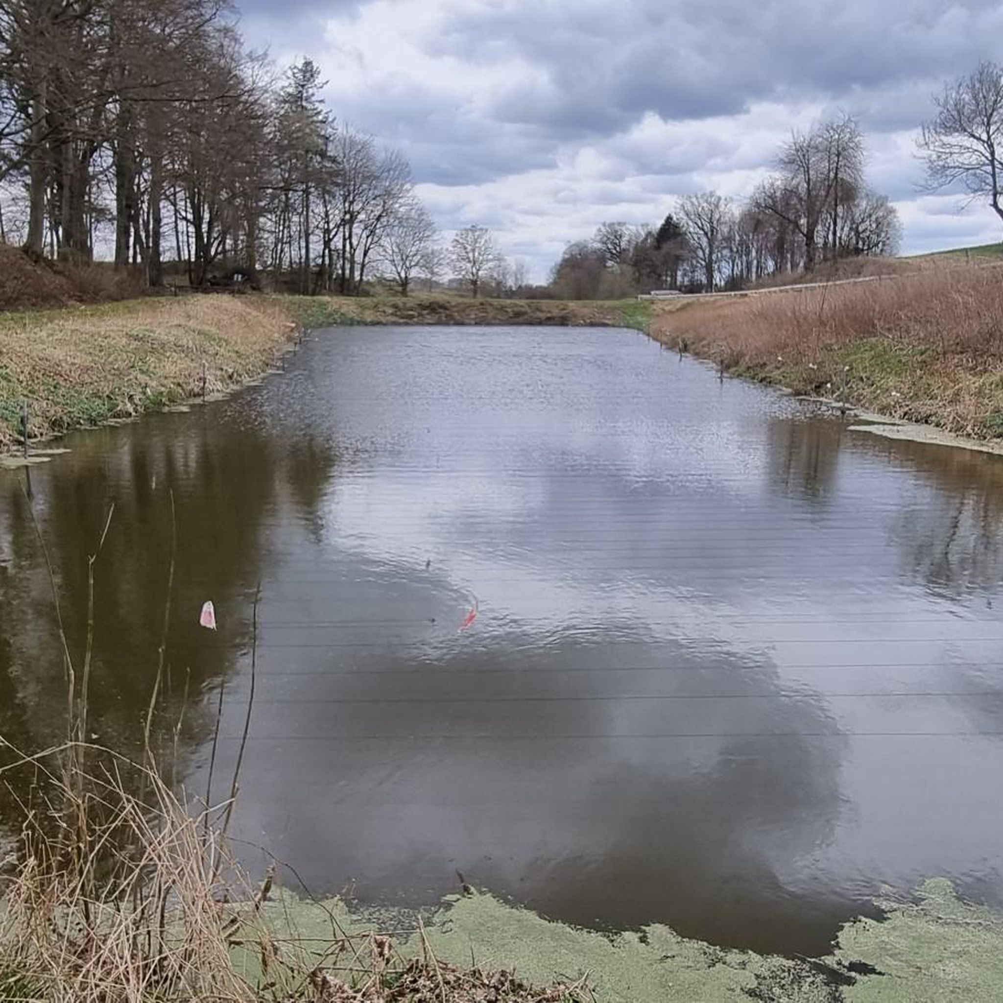
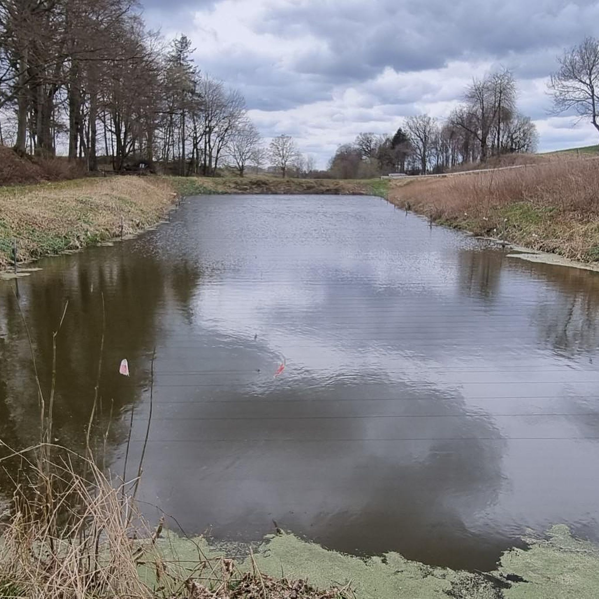
The Herrenteich Pond is located in the heart of the carp town of Reinfeld. It was artificially created in the 12th century by Cistercian monks as a reservoir for the Heilsau River for fish farming. Carp are still bred here today. A four-kilometer circular trail around the Lower Herrenteich invites you to discover this special ecosystem. 16 stations along the adventure trail offer fun and a nature experience in one, sharpening your awareness of the special features of this natural area. In summer, you can enjoy the cool water at the lido. See: https://tourismus-stormarn.de/de/naturerlebnis/herrenteich-reinfeld-5
2
0
The Herrenteich in Reinfeld is a popular tourist destination. The approximately 55-hectare body of water is divided into the upper and lower Herrenteich. The upper Herrenteich remains a recognized nature reserve. The lower Herrenteich is home to, among other things, a hiking trail and an outdoor pool in the summer. Due to melting snow, the Herrenteich flooded in early March 2010. A temporary dam erected at the time due to construction work threatened to no longer hold the water masses. A breach of the dam would have flooded the entire hinterland. The Hamburg/Lübeck railway embankment would also have been affected. See: https://www.thw-badoldesloe.de/aktuelles/aktuelle-meldungen/artikel/vor-10-jahren-hochwassereinsatz-am-herrenteich-fachgruppen-wasserschadenpumpen-verhindern-stauwe
2
1
The 3.7 km long trail leads along the partially wooded shore of the Herrenteich lake. The east and west banks are connected by a bridge at the "Fischhuser Damm"—north of this bridge begins the "Oberer Herrenteich" nature reserve. See: https://reinfeld-aktiv.de/tag/reinfeld/page/6/
2
1
The 3.7 km long trail leads along the partially wooded shore of the Herrenteich lake. The east and west banks are connected by a bridge at the "Fischhuser Damm"—north of this bridge begins the "Oberer Herrenteich" nature reserve. See: https://reinfeld-aktiv.de/tag/reinfeld/page/6/
4
1

The Herrenteich in Reinfeld owes its existence to Cistercian monks who founded the Reynevelde monastery in the 12th century. They cleared the forest, created fish ponds and dammed the Heilsau to form the Herrenteich. Water lily - Photo: Silke Oldorff Water lily - Photo: Silke Oldorff The Herrenteich in Reinfeld, Stormarn district, owes its existence to the Cistercian monks who founded the "Reynevelde" monastery in the area of the marshy lowlands of the Heilsau in the 12th century. The Heilsau rises near today's Stockelsdorf (Ostholstein district) and flows into the Trave below Reinfeld. Count Adolf commissioned this Cistercian order in 1186 to reclaim this "place of loneliness and terror", according to contemporary witness Provost Sido from Neumünster. They cleared the forest, created small fish ponds and used the excavated material to build the dam for the Heilsau to form the Herrenteich. The monks lived in the monastery until the 16th century
2
0
With 37 hectares, the Herrenteich is the largest of a total of five freshwater ponds in Reinfeld; with its diverse bank vegetation, it offers a home to many animal species.
1
0

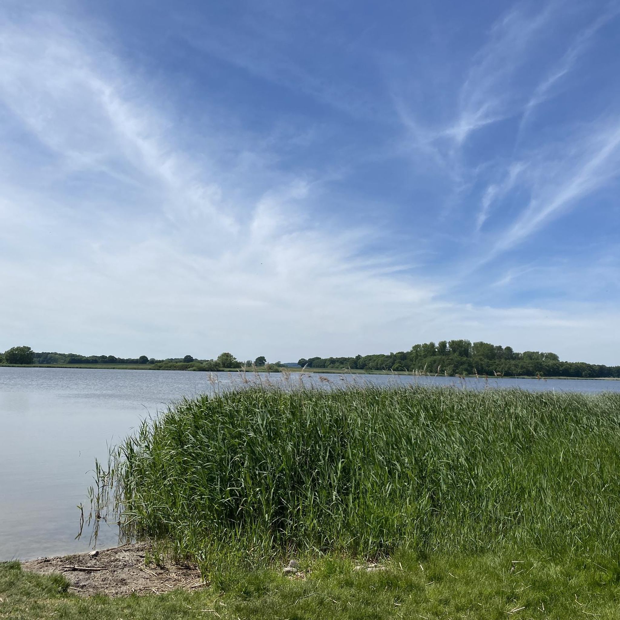
The Ihlsee is located in the northwestern part of the district town of Bad Segeberg on the northern edge of the Kleinniendorf district and is part of the designated Ihlsee and Ihlwald nature reserve. The origin of the lake has not been fully investigated. Either the depression was formed after the Ice Age due to dead ice or it was created as a sinkhole by the collapse of a cave in the Segeberg salt dome. Today the lake has an area of around 29 hectares and stretches 450 m from north to south and around 850 m from west to east; the shore is 2.25 km long. Along with the Bültsee and the Garrensee, the lake is one of the few nutrient-poor lakes in Schleswig-Holstein. The lake is located in a depression and has no inflow. It is fed only by groundwater and inflowing surface water (precipitation). To the north of the bathing area is the outflow that connects the lake to the Great Segeberg Lake. The lake can be walked around, but there is no path along the lake. There is a bathing area on the eastern shore that has existed for decades. The bathing water quality is regularly monitored and in recent years has been rated as very good to good. There is a residential area on the northern shore. On the western and southern sides, the Ihlwald, a swamp forest, dominates the shoreline. From 1911 to 1961, there was a Kiel-Segeberg narrow-gauge railway station at Ihlsee, the tracks of which were removed in 1962. The Ihlsee was declared a nature reserve in 1950 because of its special features. The lake is a particularly nutrient-poor body of water, which gives rise to rare flora. Today, the lake is part of the Ihlsee and Ihlwald nature reserve and has been part of the Natura 2000 protected area network since 2006. https://de.wikipedia.org/wiki/Ihlsee
2
0

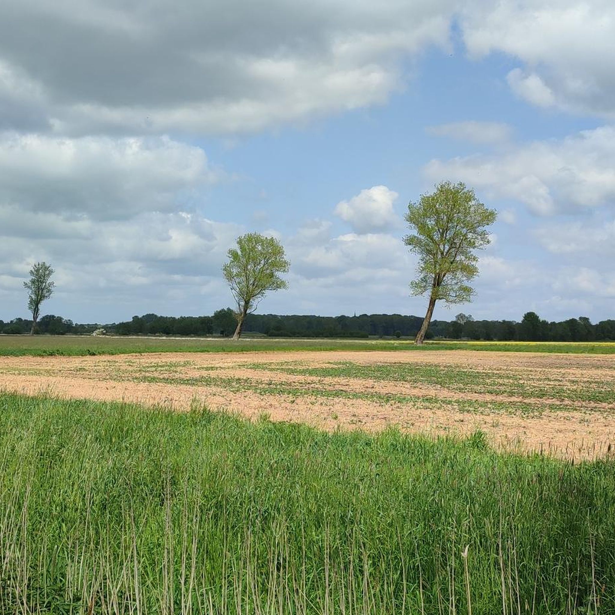
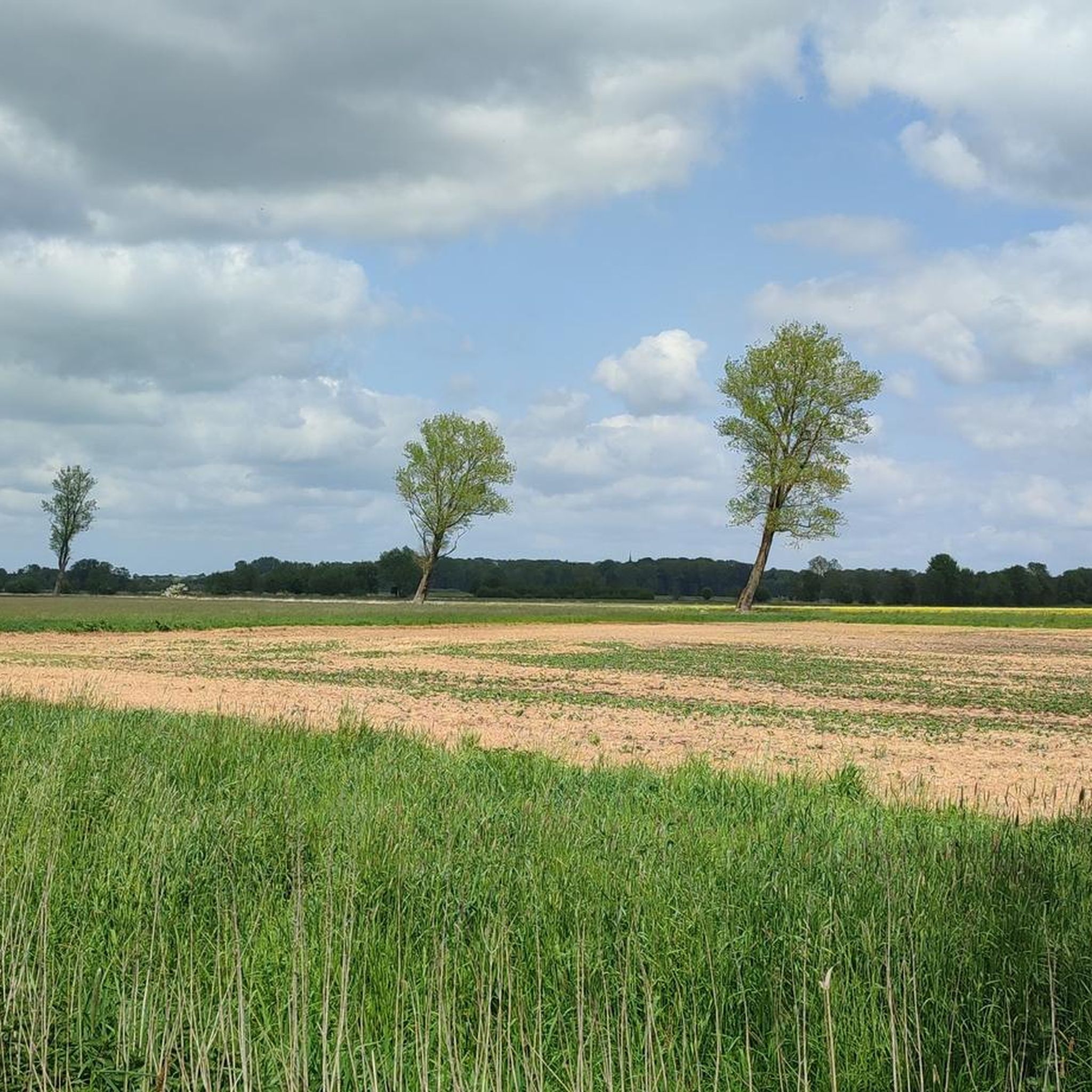
Nice walk around the pond! With lots of cozy spots.
5
0
Frequently Asked Questions
What are the most notable natural monuments to visit around Geschendorf?
The region around Geschendorf features several significant natural monuments. Among them, the Kalkberg, Bad Segeberg, stands out for its unique geological composition of anhydrite and gypsum, offering fantastic views. Another popular spot is Herrenteich Reinfeld, a lake with a pleasant surrounding hiking trail. Additionally, Lake Ihl, located within a nature reserve, is known for its rare flora and nutrient-poor waters.
What unique geological features can be found in the natural monuments near Geschendorf?
The area is rich in unique geological formations. The Kalkberg in Bad Segeberg is primarily composed of anhydrite and gypsum, a remnant of a much taller mountain reduced by historical extraction. The Großer Segeberger See, though not a highlight itself, formed through a distinctive process called subrosion, where groundwater dissolved underground salt and gypsum, causing overlying layers to collapse and create lake basins.
Are there family-friendly natural monuments around Geschendorf?
Yes, several natural monuments in the area are suitable for families. The Kalkberg, Bad Segeberg, offers scenic views that can be enjoyed by all. The hiking trail around Herrenteich Reinfeld is also family-friendly, providing a pleasant walk with views of the lake. The Lake Ihl, with its bathing area, is another great option for families.
What kind of outdoor activities can I do near these natural monuments?
The region around Geschendorf offers diverse outdoor activities. You can explore various hiking trails, such as those around the Herrenteich or in the Ihlwald. For cyclists, there are numerous cycling routes, including paths like the Weede–Steinbek Cycle Path. Mountain biking enthusiasts can find MTB trails, with options ranging from easy to moderate difficulty. You can find more details on these activities in the Hiking around Geschendorf, Cycling around Geschendorf, and MTB Trails around Geschendorf guides.
Where can I find scenic viewpoints of the natural landscape?
For scenic views, the Kalkberg, Bad Segeberg, is highly recommended, offering expansive vistas of Bad Segeberg and the surrounding area, including the Großer Segeberger See. The hiking trail around Herrenteich Reinfeld also provides great views of the lake. Additionally, the Rönne estuary and stone bridge at Großer Segeberger See offers beautiful lake views from the bridge.
Are there any nature reserves or protected areas among the natural monuments?
Yes, Lake Ihl is located within the designated Ihlsee and Ihlwald nature reserve and is part of the Natura 2000 protected area network. It's recognized for its particularly nutrient-poor waters, which support rare flora. The Upper Herrenteich Nature Reserve is another protected area, known for its beautiful pond and historical significance related to Cistercian monks.
What do visitors enjoy most about the natural monuments around Geschendorf?
Visitors particularly appreciate the diverse landscapes and unique geological features. The fantastic views from the Kalkberg are a highlight, especially on clear days. Many also enjoy the relaxing walks and cozy spots around Herrenteich Reinfeld, which offers a mix of forest, meadow, and water. The serene environment and rare flora of Lake Ihl are also highly valued.
Can I find historical sites or cultural context related to these natural monuments?
While primarily natural, some sites have historical connections. The Kalkberg has a history of anhydrite and gypsum mining, which significantly altered its original height. The Herrenteich in Reinfeld owes its existence to Cistercian monks who founded a monastery in the 12th century and created the pond for carp farming. The Rönne estuary also has historical elements, with a watermill operating since 1342 and remnants of a weir system.
Are there opportunities for water-based activities or views of lakes?
Absolutely. The region is characterized by its lakes. Herrenteich Reinfeld and Lake Ihl are prominent examples, offering opportunities for walks along their shores and, in the case of Lake Ihl, a bathing area. The Großer Segeberger See is a significant body of water in the area, and the Rönne estuary and stone bridge provides excellent views of this large lake.
What is the best time of year to visit the natural monuments around Geschendorf?
The natural monuments around Geschendorf can be enjoyed throughout the year, but each season offers a different experience. Spring and autumn provide pleasant temperatures for hiking and cycling, with vibrant foliage or blooming nature. Summer is ideal for water-based activities at lakes like Lake Ihl. Winter can offer a serene, quiet atmosphere, especially for walks around the lakes, though some facilities might have reduced hours.
Are there any specific trails or routes recommended for hiking near these natural monuments?
Yes, there are several hiking routes to explore. You can enjoy a pleasant walk around Herrenteich Reinfeld, which offers great views and cozy spots. The area around Lake Ihl also has trails within its nature reserve. For more options, you can consult the Hiking around Geschendorf guide, which includes routes like the 'Rösinger Grund – Ponds at Rösinger Grund loop'.
What kind of wildlife might I encounter in the natural areas?
The natural monuments and surrounding areas, particularly nature reserves like Ihlsee and Ihlwald, are home to diverse flora and fauna. Nutrient-poor lakes like Lake Ihl support rare plant species. The forests and wetlands around the lakes provide habitats for various bird species, amphibians, and small mammals. Keep an eye out for local wildlife while exploring the trails.
Most popular routes around Geschendorf
Most popular attractions around Geschendorf

Get inspired with the komoot mobile app


Explore more
Extend your search for the best caves by checking out these guides of the top ones around Geschendorf:
