Top 20 Natural Monuments around Deutschneudorf
Best natural monuments around Deutschneudorf are located within the scenic Ore Mountains, a region characterized by rolling hills, picturesque rivers, and dense forests. This landscape offers several notable natural features for exploration. The area provides diverse natural attractions and panoramic views, making it an ideal starting point for outdoor activities.
Best natural monuments around Deutschneudorf
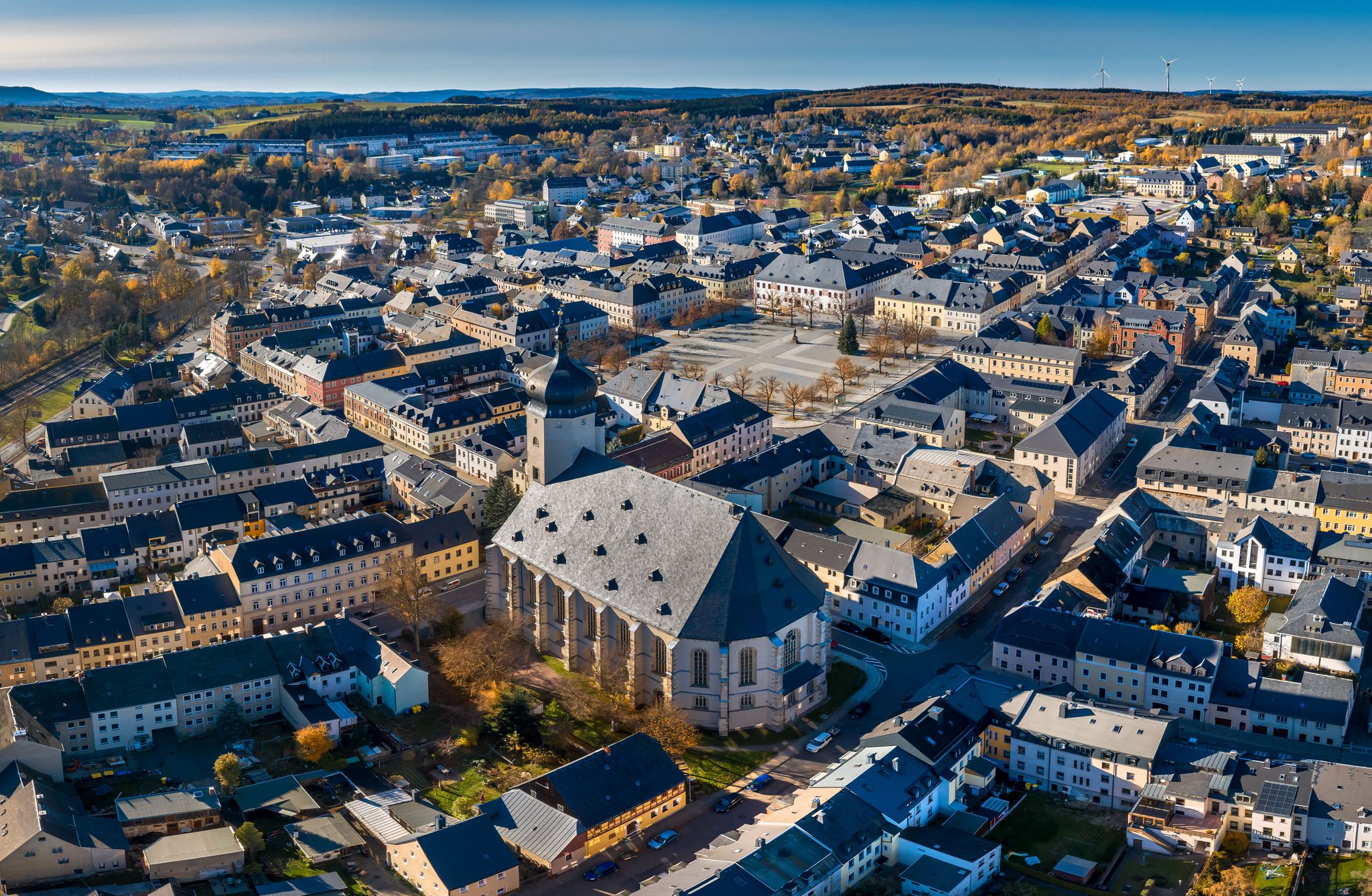
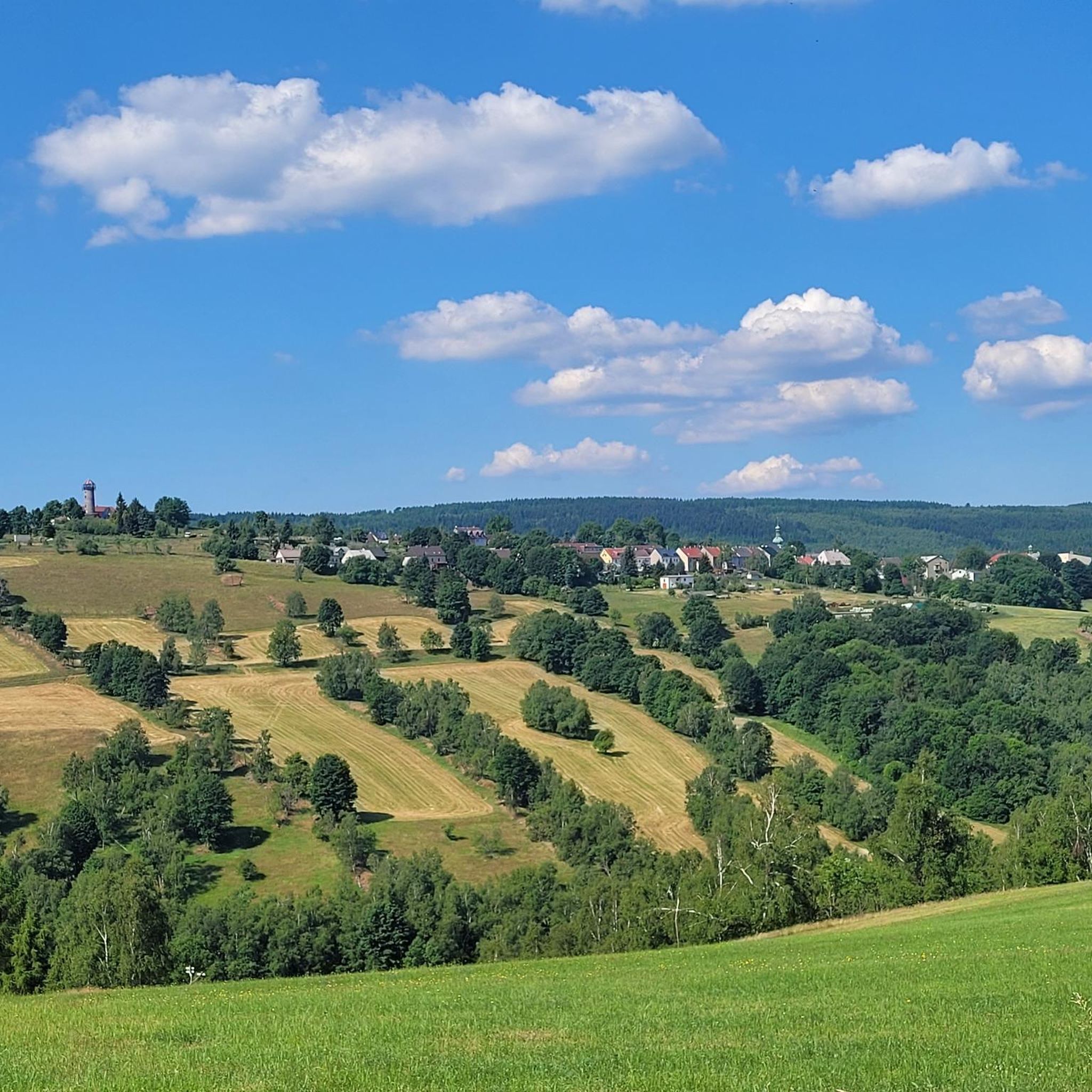
- The most popular natural monuments is Schwartenberg Summit and Schwartenberg Hut, a summit that offers a wonderful all-round view of the Ore Mountains. Standing…
Last updated: July 8, 2026
Schwartenberg Summit and Schwartenberg Hut
Highlight • Summit
Translated by Google •
Tip by

Sluice ponds
Highlight • Lake
Translated by Google •
Tip by

Sign up now to discover places like this
Get recommendations on the best single tracks, peaks, & plenty of other exciting outdoor places.
Sign up for free
Fláje Reservoir
Highlight • Lake
Translated by Google •
Tip by

Medvědí Skála (Bear Rock)
Highlight • Natural Monument
It was also used for the Bohemian Triangulation. There is also a small information panel for this purpose.
Translated by Google •
Tip by

Loučná Summit
Highlight • Summit
Translated by Google •
Tip by

Sign up for free to discover even more natural monuments around Deutschneudorf.
Sign up for free
Already have an account?
Start today with a free account
Your next adventure awaits.
Login or Signup
Other adventures around Deutschneudorf

Tips from the Community

The Flaje Dam (Fláje Dam) The Flaje Dam is a major drinking water reservoir in the Czech part of the Ore Mountains. * Location: It is located in the Eastern Ore Mountains, northwest of the municipality of Český Jiřetín (Georgendorf) and southeast of the town of Fláje (Fleyh), after which it bears its name. It is relatively close to the German-Czech border. * Purpose: Its primary and most important function is to supply drinking water to the region around Most (Brüx) and other parts of Northern Bohemia. Therefore, access to the lake and swimming are strictly prohibited to protect water quality. * Construction: The dam was built between 1951 and 1964. Its construction was a feat of engineering, as it is the only pier dam in the Czech Republic. This means that the dam consists of individual, vertical piers, giving it an unusual and striking appearance.
13
1

You will be rewarded with a wonderful view of the Bohemian Basin once you have completed the tough climb 🏔️ 👁️👍
1
0

Bernstein Station 14 of the Royal Saxon Triangulation and Central European Survey It was also used for the Bohemian Triangulation. There is also a small information panel for this purpose. "The Royal Saxon Triangulation (here with its historical name) is a national survey carried out between 1862 and 1890 on the territory of the Kingdom of Saxony, with the simultaneous creation of a trigonometric network. The goal was to record the territory with scientific and geodetic precision and, by establishing permanently marked reference points, to create the basis for the production of accurate maps." - https://de.wikipedia.org/wiki/K%C3%B6niglich-S%C3%A4chsische_Triangulirung From the station, the sightings were taken clockwise from the north to Schwartenberg, Frauenstein, Kahleberg, Wieselstein, Fichtelberg, Hirtstein, Udohöhe, and Saidahöhe. The nearby Grossenstein station on the Eduardova skála was added for accuracy.
2
0


In the middle of the Ore Mountains' raised bogs lies the Bärenstein, from which, on a clear day, you have a fantastic panoramic view of the Ore Mountains and the Bohemian Basin as far as the Bohemian Central Uplands. By bike, there are several ways to explore other sights, such as Lesna or the television tower on the Jedlak with a view of Chomutov and Jirkov.
0
0

Highest mountain in the Eastern Ore Mountains with excellent views as far as the Fichtelberg and Keilberg and the Bohemian Central Mountains. With summit book and rest area.
1
0

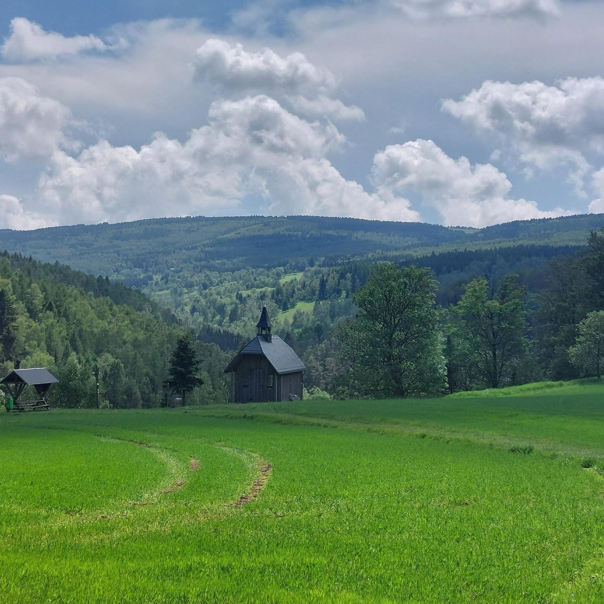
The stream that has been dammed to form the alluvial ponds flows into the Mortelgrund at the Mortelmühle. Overall, the area with its bodies of water, riverbanks, mountain meadows and wet meadows represents a very valuable habitat.
4
1

excellent tour on the edge of the Ore Mountains
1
0
Frequently Asked Questions
What are some of the most popular natural monuments to visit around Deutschneudorf?
Visitors frequently enjoy the Schwartenberg Summit and Schwartenberg Hut, which offers extensive views of the Ore Mountains. Another favorite is Sluice ponds, a tranquil lake area with historical significance. The Medvědí Skála (Bear Rock) is also highly rated for its fantastic all-round views and historical importance as a trigonometric point.
Are there family-friendly natural monuments around Deutschneudorf?
Yes, several natural monuments are suitable for families. The Schwartenberg Summit and Schwartenberg Hut is family-friendly, offering refreshments at the hut. The Sluice ponds provide a contemplative forest setting, and the Seiffen Pinge and Open-Air Theater combines natural beauty with historical insights and events. Additionally, Dittmannsdorf Pond is also considered family-friendly.
What kind of natural features can I expect to see among the monuments?
The natural monuments around Deutschneudorf showcase the diverse landscape of the Ore Mountains. You'll find prominent summits like Schwartenberg Summit and Medvědí Skála offering panoramic views. There are also serene lake areas such as the Sluice ponds and Dittmannsdorf Pond, often nestled within dense forests. The region also features unique geological formations like the Seiffen Pinge, a collapsed mining cavity.
Do any natural monuments in the region have historical significance?
Many natural monuments in the Deutschneudorf area are intertwined with history. The Sluice ponds, for instance, were created in the 15th century for mining purposes. Medvědí Skála (Bear Rock) served as a significant trigonometric point for historical surveys. The Seiffen Pinge is a direct remnant of the region's mining past, now used as an open-air theater.
Where can I find the best panoramic views of the Ore Mountains?
For breathtaking panoramic views, head to the Schwartenberg Summit and Schwartenberg Hut. At 789 meters high, its exposed location provides a wonderful all-round view on clear days. Another excellent spot is Medvědí Skála (Bear Rock), which also offers a fantastic all-round vista.
What outdoor activities can I do near these natural monuments?
The region around Deutschneudorf is a paradise for outdoor enthusiasts. You can explore numerous running trails, mountain biking routes, and road cycling paths. For detailed information and routes, check out the Running Trails around Deutschneudorf, MTB Trails around Deutschneudorf, and Road Cycling Routes around Deutschneudorf guides.
Are there hiking trails near the natural monuments around Deutschneudorf?
Yes, the area is known for its extensive hiking opportunities. Many trails lead through green meadows, past small streams, and offer panoramic views, often connecting to or passing by natural monuments. You can find various routes, including easy and moderate options, in the Running Trails around Deutschneudorf guide, which also features paths suitable for walking.
What is the best time of year to visit the natural monuments around Deutschneudorf?
The natural monuments can be enjoyed year-round. Spring and autumn offer pleasant temperatures for hiking and vibrant foliage. Summer is ideal for visiting the Sluice ponds and Dittmannsdorf Pond. Winter provides opportunities for tranquil winter hiking, especially around areas like the Schwartenberg Summit, though views depend on clear weather.
Are the natural monuments around Deutschneudorf dog-friendly?
Generally, the natural monuments and surrounding trails in the Deutschneudorf region are dog-friendly, as they are primarily outdoor natural spaces. However, it's always advisable to keep dogs on a leash, especially in protected areas, near wildlife, or when passing through populated spots like the Schwartenberg Hut. Please ensure you clean up after your pet.
Are there any less crowded natural gems to discover in the Deutschneudorf area?
While popular spots attract many, the Sluice ponds are often considered an insider tip for those seeking a more contemplative and less crowded experience in the middle of the forest. The broader region also offers numerous smaller trails and hidden spots away from the main attractions, providing tranquility and fresh air.
Is parking available near the natural monuments?
For popular sites like the Schwartenberg Summit, there is typically designated parking available, often near the hut. For other natural monuments and trailheads, you can usually find parking in nearby villages or designated outdoor parking areas. It's recommended to check local signage upon arrival.
What do visitors enjoy most about the natural monuments around Deutschneudorf?
Visitors particularly appreciate the stunning panoramic views from summits like Schwartenberg and Medvědí Skála. The tranquility of places like the Sluice ponds, the fresh air, and the opportunity for extensive hiking through diverse landscapes are also highly valued. The combination of natural beauty with historical context, such as at the Seiffen Pinge, adds another layer of enjoyment.
Most popular routes around Deutschneudorf
Most popular attractions around Deutschneudorf

Get inspired with the komoot mobile app


Explore more
Extend your search for the best caves by checking out these guides of the top ones around Deutschneudorf:
