Top 5 Natural Monuments around Obersüßbach
Best natural monuments around Obersüßbach are found in a region of diverse natural landscapes, characterized by rolling hills, dense forests, and river valleys. The municipality, located in the Landshut district of Bavaria, Germany, offers scenic routes along the Isar River Valley and Vilstal. Elevated areas and extensive hiking trails provide opportunities to explore the natural features of the area. The landscape is primarily composed of varied terrain, including forests and hills.
Best natural monuments around Obersüßbach
- The most popular natural…
Last updated: June 24, 2026
large Isar bridge in Volkmannsdorf
Highlight • River
The trail is NOT passable during high water, as a ford 2 km after …
Translated by Google •
Tip by

Seven Ribs Rapids
Highlight • River
Translated by Google •
Tip by

Sign up now to discover places like this
Get recommendations on the best single tracks, peaks, & plenty of other exciting outdoor places.
Sign up for free
Conglomerate Ridges in the Isar
Highlight • River
Translated by Google •
Tip by

Natural Pool on the Isar River
Highlight • River
Translated by Google •
Tip by

Steinleite Gravel Pit Geotope
Highlight • Natural Monument
Translated by Google •
Tip by
Sign up for free to discover even more natural monuments around Obersüßbach.
Sign up for free
Already have an account?
Start today with a free account
Your next adventure awaits.
Login or Signup
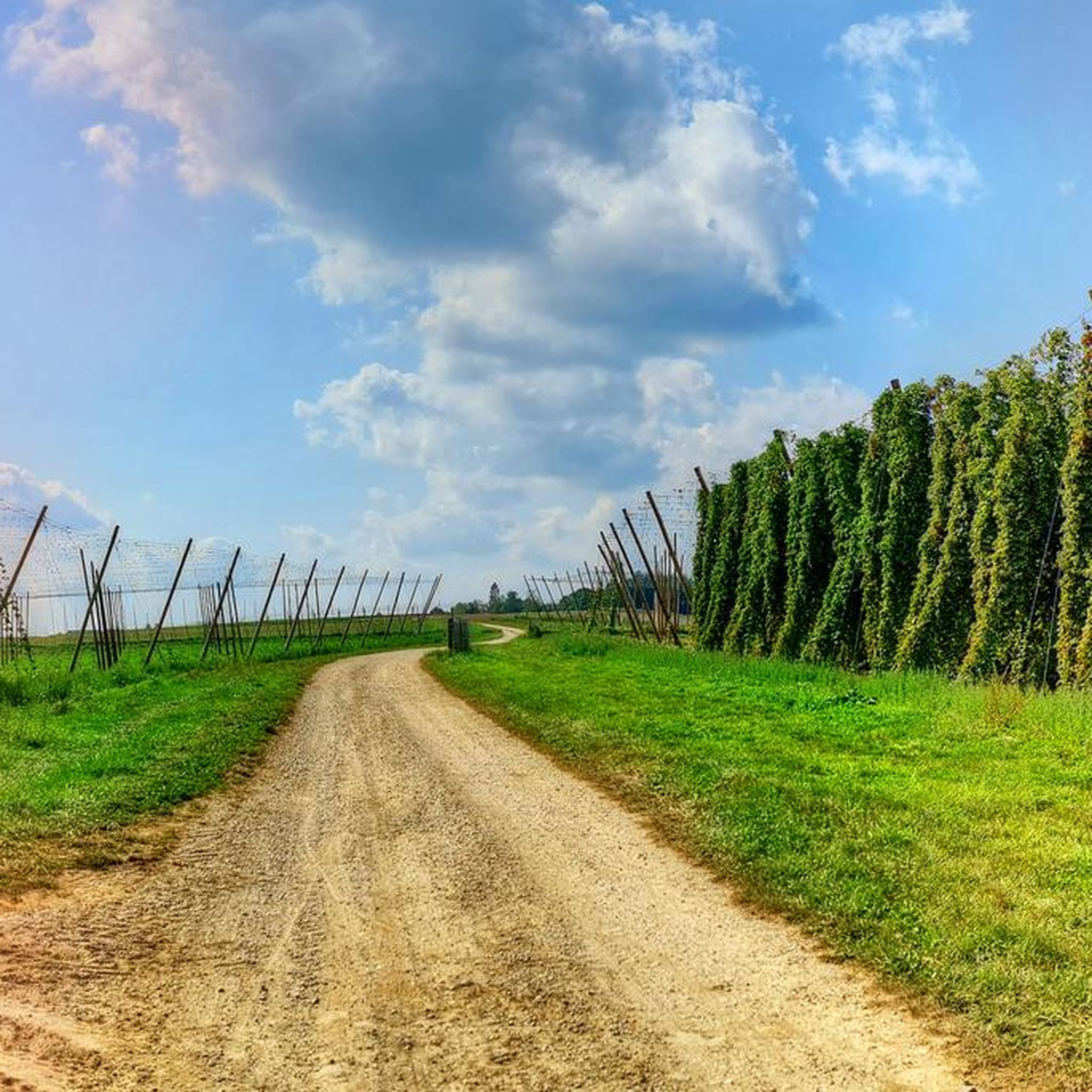
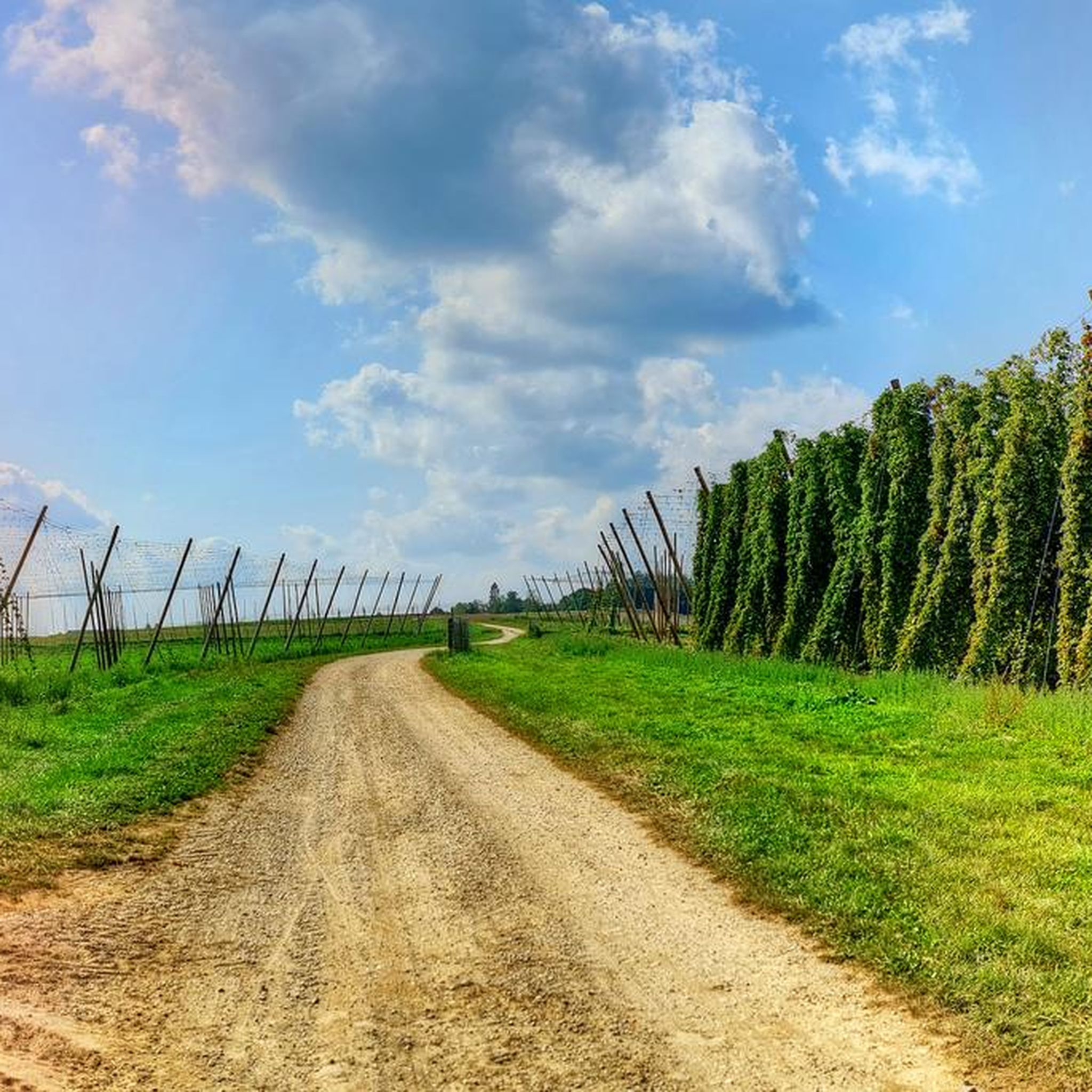
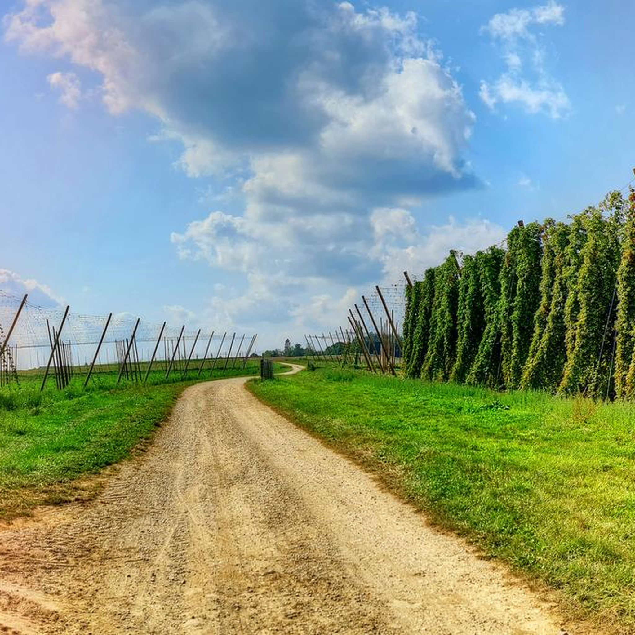
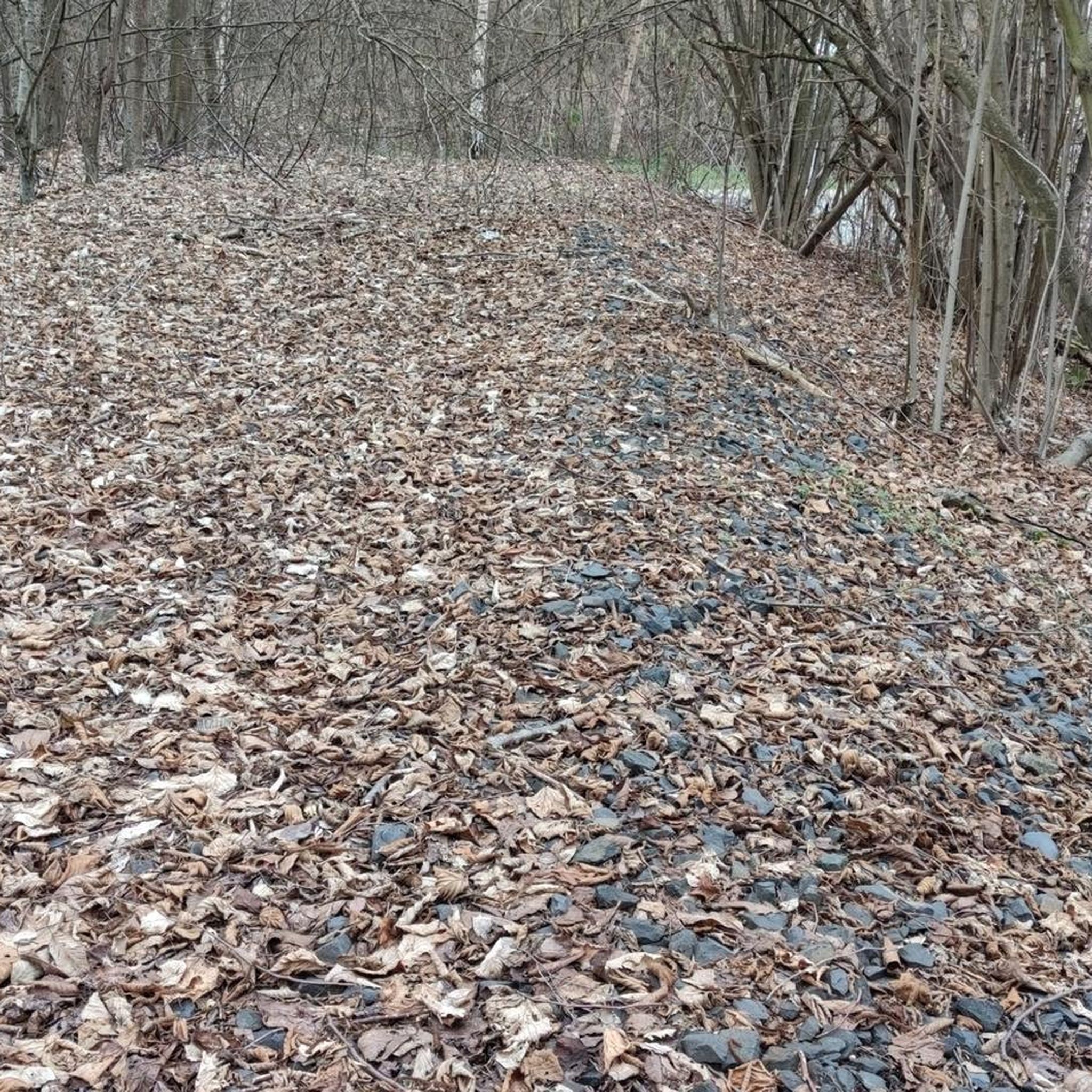
Tips from the Community

I can only confirm Sturmibaer.
0
0

Possibly flooded and impassable during high water! If you have to turn around, detour approx. 10 km.
1
0

Good view of the weirs where the Amper flows into the Isar.
2
0

The 35 m high outcrop shows a profile of the northern full gravel with sands, silts, marls and gravels, some of which are baked into nail fluhens and contain individual iron hydroxide bands. There are new buildings in front of the exposure wall. Only the lowest part of the partially overgrown and collapsed outcrop wall is accessible. https://www.umweltatlas.bayern.de/standortauskunft/rest/reporting/sb_geotope/generate?additionallayerfieldvalue=274A001
0
0
West of the motorway bridge, the Isar flows through striking rapids caused by conglomerate ribs in the riverbed. The tertiary molasse gravel here has solidified into conglomerate. This may be related to the fault zone of the Landshut-Neuöttinger fault in the subsurface. This is the only place on the Middle and Lower Isar where the riverbed consists of bedrock. At river kilometer 87.4 there is an information board next to the cycle path on the northern bank. Here you can also reach the shore via a path. https://www.umweltatlas.bayern.de/standortauskunft/rest/reporting/sb_geotope/generate?additionallayerfieldvalue=274R009
0
0

Beautiful corner with a wonderful bike path.
2
0

Here the Isar and the Amper flow together
2
1

Relaxing tour in the direction of Landshut and Moosburg
2
0
Frequently Asked Questions
What kind of natural features can I expect to see around Obersüßbach?
The region around Obersüßbach is characterized by diverse natural landscapes, including rolling hills, dense forests, and picturesque river valleys, particularly along the Isar and Vilstal. You'll find scenic routes along waterways and varied terrain perfect for exploration.
Are there any unique geological formations to explore?
Yes, the Conglomerate Ridges in the Isar are a notable geological feature. Here, the Isar flows through striking rapids where the riverbed consists of bedrock formed from solidified tertiary molasse gravel. It's the only place on the Middle and Lower Isar where this phenomenon occurs.
What are some popular spots for enjoying the river landscape?
The large Isar bridge in Volkmannsdorf is a key spot, offering access to the Isar trail and marking the confluence of the Amper and Isar rivers. Another popular location is the Seven Ribs Rapids, known for its beautiful natural landscape and as a great resting spot along the Isar.
Are there family-friendly natural monuments or areas suitable for children?
Many of the natural areas along the Isar are suitable for families. The large Isar bridge in Volkmannsdorf and the Seven Ribs Rapids are both considered family-friendly, offering opportunities for gentle walks and enjoying the riverside scenery.
What hiking opportunities are available near these natural monuments?
The region offers extensive hiking trails. For easy walks, you can explore routes like the 'Hop Garden in Hallertau – Simbürger Chapel loop' or the 'Obersüßbach Church – Kolmöd Chapel loop'. You can find more details and routes on the Easy hikes around Obersüßbach guide.
Can I go cycling or mountain biking near the natural monuments?
Absolutely! The area is great for cycling. For gravel biking, consider routes like the 'Isar Cycle Path – Isar Riverside Beach, Freising loop'. Mountain bikers can find trails such as the 'Forest Chapel Near Furth – Forest Path in Lower Bavaria loop'. More information is available in the Gravel biking around Obersüßbach guide and the MTB Trails around Obersüßbach guide.
What is the Landshuter Höhenwanderweg and how can I access it?
The Landshuter Höhenwanderweg (Landshut High-Altitude Trail) is an extensive hiking trail in the heart of Bavaria, offering scenic views of the Isar River valley and the hilly landscape. While its main route is about 50 kilometers, several circular trails branch off, providing various access points to experience its beauty. Specific access points would depend on which section or circular trail you wish to explore.
Are there any natural swimming spots or beaches along the Isar River?
Yes, there are natural spots along the Isar where visitors can enjoy the water. The Natural Pool on the Isar River is one such location, offering a beach-like experience. However, be aware that it might be flooded and impassable during high water periods.
What do visitors particularly enjoy about the natural monuments in this region?
Visitors frequently praise the beautiful natural landscapes and the opportunities for rest and relaxation. Many appreciate the unique geological formations and the striking rapids along the Isar, making for memorable outdoor experiences.
Is there a specific geotope worth visiting for its geological significance?
Yes, the Steinleite Gravel Pit Geotope features a 35-meter-high outcrop showcasing a profile of northern full gravel with sands, silts, marls, and gravels. It offers a fascinating glimpse into the region's geological history, though only the lowest part of the outcrop is accessible.
What is the best time of year to visit the natural monuments around Obersüßbach?
The natural monuments and trails around Obersüßbach can be enjoyed throughout the warmer months, from spring to autumn, when the weather is pleasant for hiking, cycling, and exploring the river valleys and forests. Spring brings blooming flora, while autumn offers vibrant foliage.
Most popular routes around Obersüßbach
Most popular attractions around Obersüßbach

Get inspired with the komoot mobile app


Explore more
Extend your search for the best caves by checking out these guides of the top ones around Obersüßbach:
