Rabenstein an der Pielach
Rabenstein an der Pielach
Top 5 Mountain Passes around Rabenstein an der Pielach
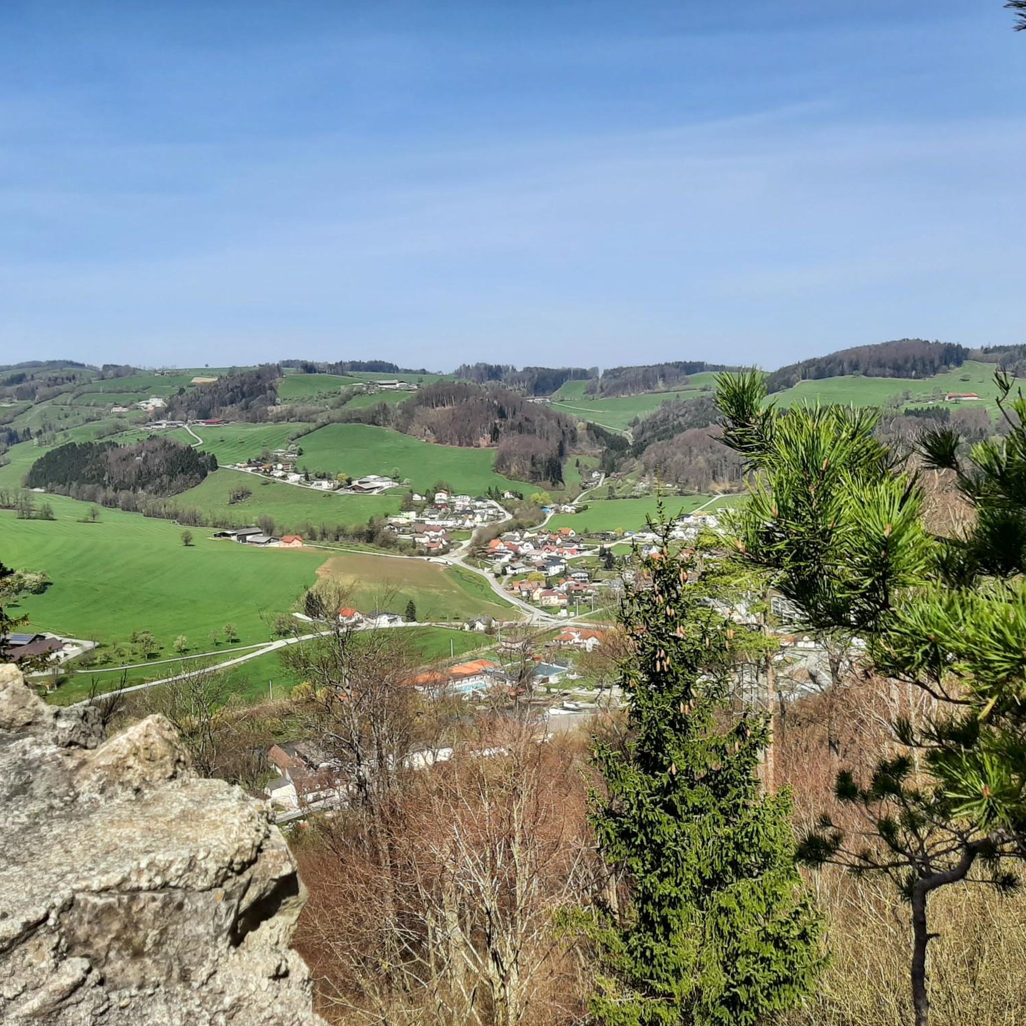
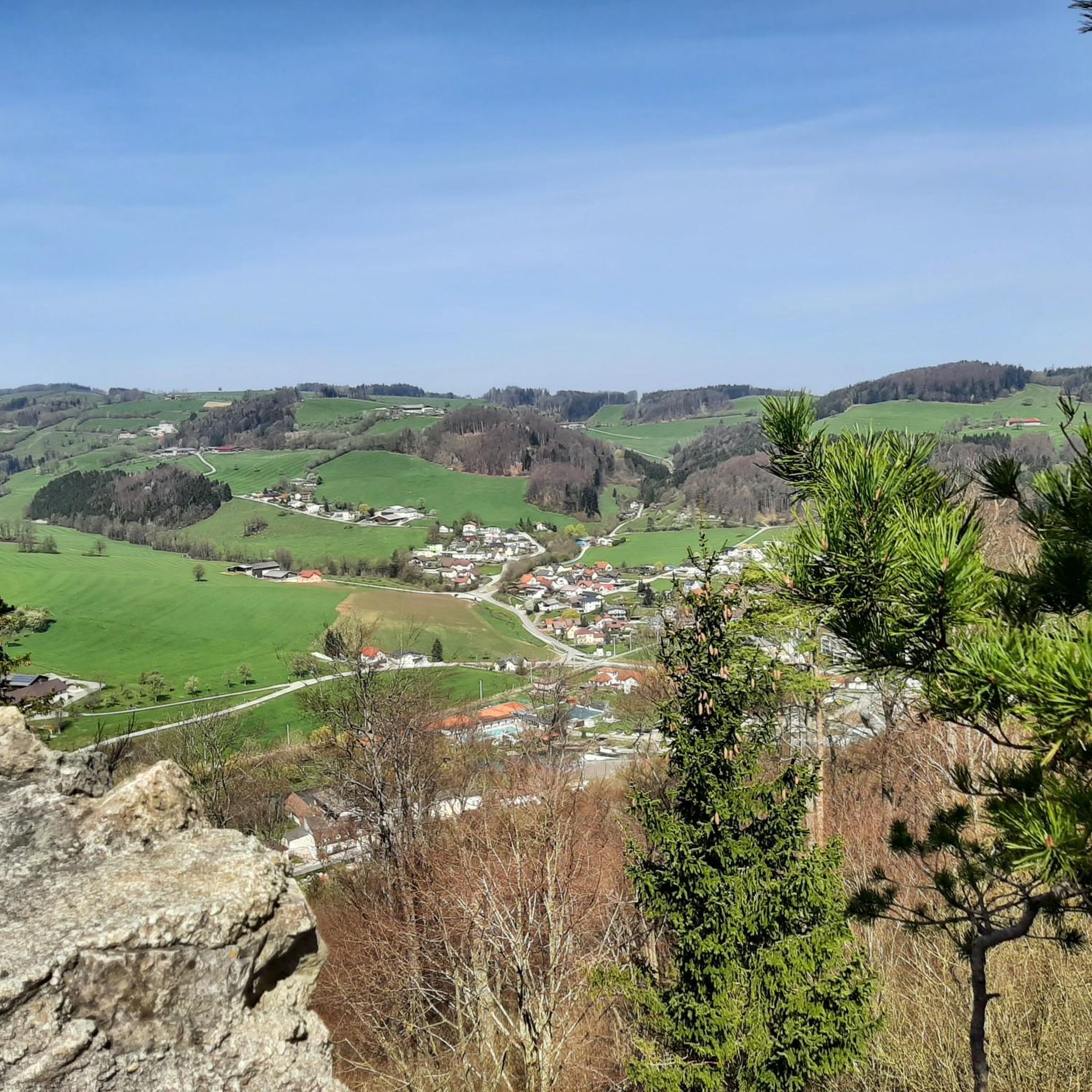
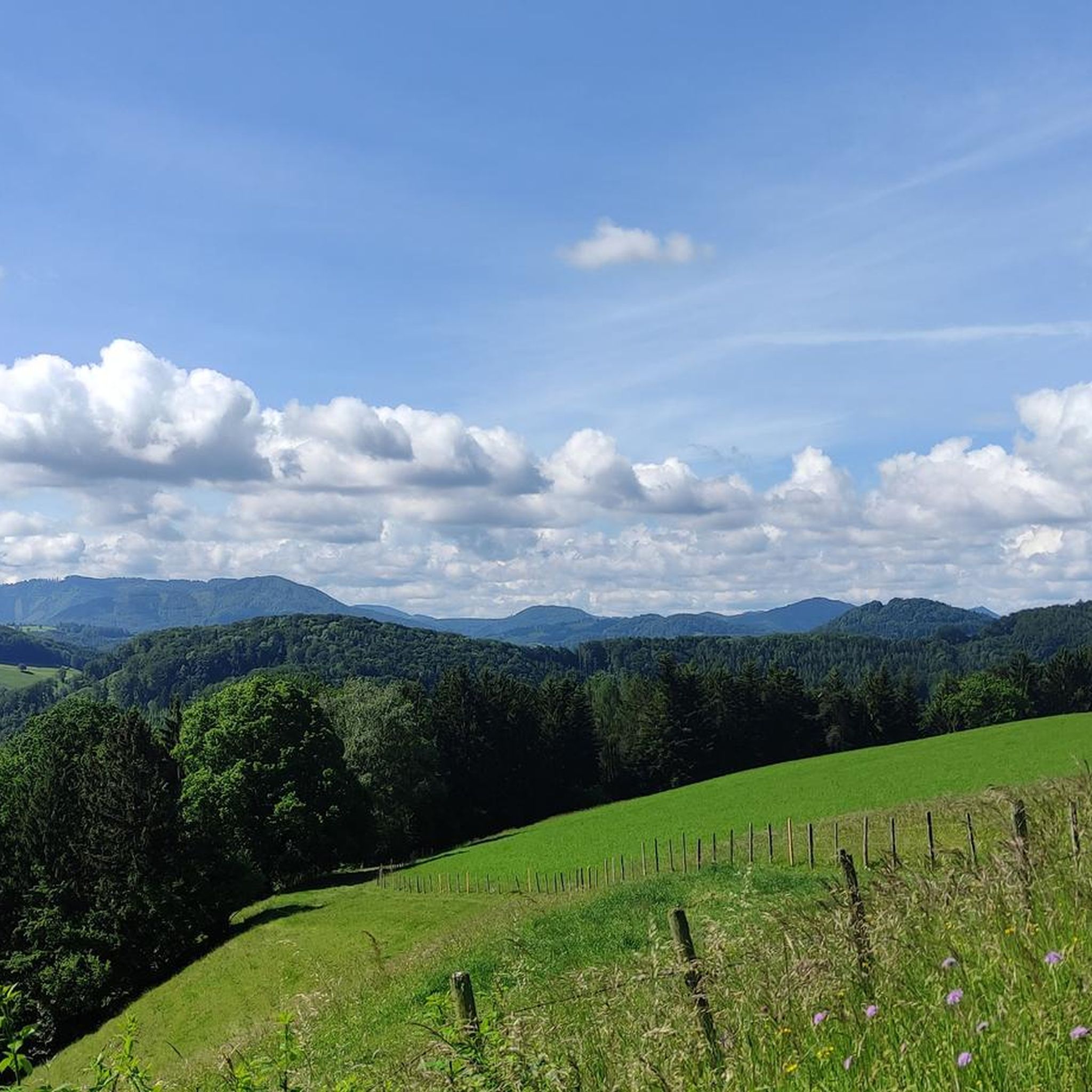
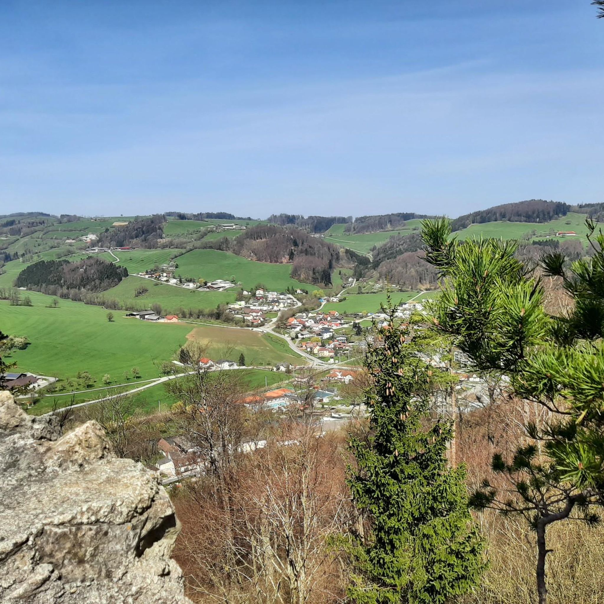
Mountain passes near Rabenstein an der Pielach are situated in the Pielach Valley, a region characterized by its elevated points and diverse hiking paths. The area ranges in altitude from 344 to 849 meters, offering varied terrain for outdoor activities. Rabenstein an der Pielach provides access to routes that feature panoramic vistas and challenging ascents within the Mostviertel region. The natural landscape includes numerous shrines, alpine pastures, and the Pielach river system.
Best mountain passes around Rabenstein an der Pielach
…Last updated: July 8, 2026
Luftberg Pass
Highlight • Mountain Pass
Translated by Google •
Tip by

Windschnur Pass Between Traisental and Pielachtal
Highlight • Mountain Pass
Translated by Google •
Tip by

Sign up now to discover places like this
Get recommendations on the best single tracks, peaks, & plenty of other exciting outdoor places.
Sign up for free
Geiseben Pass
Highlight • Mountain Pass
Translated by Google •
Tip by

From the Traisental to the Pielachtal
Highlight (Segment) • Mountain Pass
Translated by Google •
Tip by

Moarigrabensattel
Highlight (Segment) • Mountain Pass
Translated by Google •
Tip by
Sign up for free to discover even more mountain passes around Rabenstein an der Pielach.
Sign up for free
Already have an account?
Start today with a free account
Your next adventure awaits.
Login or Signup
Popular around Rabenstein an der Pielach
Hiking around Rabenstein an der Pielach
MTB Trails around Rabenstein an der Pielach
Cycling around Rabenstein an der Pielach
Road Cycling Routes around Rabenstein an der Pielach
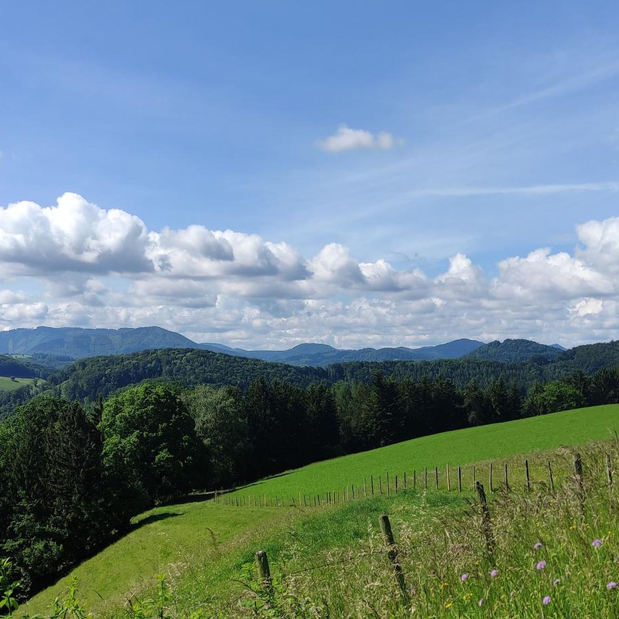
Running Trails around Rabenstein an der Pielach
Mountain Hikes around Rabenstein an der Pielach

Gravel biking around Rabenstein an der Pielach
Tips from the Community

beautiful MTB route with a great view of the Alpine foothills - and the mountain is popularly called "Goaßbichl"!
0
0
scenic route to Tarschberg
0
0
super connection from or to Plambaheck
0
0
beautiful connection from Kirchberg to the north
0
0


Small hill with a beautiful view, along the route from Kammerhof to Grubtal near Wilhelmsburg and with relatively little general traffic.
0
0

Beautiful and quiet route over the Moarigrabensattel. On the descent towards Schrambach there are a few beautiful viewpoints into the valley.
1
0

You can also combine it with a trip to Plambacheck.
1
0
Frequently Asked Questions
What are some of the most scenic mountain passes for cycling near Rabenstein an der Pielach?
For cyclists, the Luftberg Pass is highly recommended, known for its entertaining curves on the Pielachtal side. Another great option is the Windschnur Pass Between Traisental and Pielachtal, which features fun switchbacks towards Kammerhof and connects the Traisental and Pielachtal regions.
Are there mountain passes that offer good viewpoints in the Rabenstein an der Pielach area?
Yes, several elevated points and passes in the region offer excellent views. The Geiseben Pass, for example, provides a beautiful panorama. Additionally, the Moarigrabensattel offers beautiful viewpoints on its descent towards Schrambach.
What kind of hiking opportunities are available near the mountain passes around Rabenstein an der Pielach?
The region offers diverse hiking routes suitable for various difficulty levels. You can find trails that lead to panoramic vistas and challenging ascents. For specific hiking routes, you can explore the Mountain Hikes around Rabenstein an der Pielach guide, which includes routes like the 'Rabenstein Castle Ruins – Josef-Franz Hut loop'.
Are there any easy or family-friendly hiking routes associated with the passes or elevated points?
While the passes themselves might involve some ascent, the broader Rabenstein an der Pielach area offers many easy hikes. For family-friendly options, consider routes from the Easy hikes around Rabenstein an der Pielach guide, such as the 'Dirndl Photo Point – Rabenstein Castle Ruins loop'.
What is the Kaiserkogel and what does it offer visitors?
The Kaiserkogel is a notable elevated destination near Rabenstein an der Pielach, offering superb views of the Mostviertel region. At its summit, you'll find the Kaiserkogel Hut, a charming place to rest and enjoy the scenery. It's a popular spot for hikers seeking rewarding vistas and is part of routes passing through Rabenstein an der Pielach.
Can I find places to eat or rest near the elevated hiking areas?
Yes, for instance, the Kaiserkogel features the Kaiserkogel Hut at its summit, providing a place to rest and enjoy the views (note: it's closed on Tuesdays and Wednesdays). The extensive Pielachtaler Rundwanderweg, while not a pass itself, is dotted with numerous taverns, offering ample opportunities for refreshment along its route.
What is the Pielachtaler Rundwanderweg?
The Pielachtaler Rundwanderweg is an extensive circular hiking trail spanning 115 kilometers around the Pielach and its tributaries. It overcomes an impressive 5,300 meters in altitude and is known for its numerous shrines, benches, alpine pastures, and taverns. You can start from any point, walk in either direction, and even shorten parts of it using the Mariazell Railway.
What is the best way to experience the transition between the Traisental and Pielachtal valleys?
The mountain pass known as From the Traisental to the Pielachtal offers an excellent opportunity to change between these two valleys. It features a crisp rise and a fantastic descent, making it a popular route for those who enjoy a challenging bike tour.
Are there any historical sites or ruins to visit while exploring the elevated areas?
Yes, the Rabenstein Castle Ruins are a popular destination. A hike to the ruins rewards visitors with a magnificent view of the 'Garden of the Pre-Alps' from an altitude of 495 meters above sea level after about a 30-minute ascent. It's a significant landmark often included in various hiking trails.
What are the typical altitudes encountered when exploring the mountain passes and elevated points around Rabenstein an der Pielach?
The region around Rabenstein an der Pielach features diverse terrain with altitudes ranging from 344 meters to 849 meters. This variation provides a wide range of experiences, from gentle ascents to more challenging climbs, ensuring varied terrain for outdoor activities.
What kind of cycling routes are available in the area, especially those incorporating mountain passes?
The region is popular for cycling, with passes like the Luftberg Pass offering enjoyable rides with many curves. For a broader selection of cycling tours, you can refer to the Cycling around Rabenstein an der Pielach guide, which includes routes like the 'Geiseben Pass – Parish Church of Rabenstein loop'.
What makes the Pielach Valley unique for outdoor enthusiasts?
The Pielach Valley is characterized by its picturesque hiking trails, scenic views, and numerous elevated points. It offers diverse routes suitable for various difficulty levels, from short and easy to long and demanding. The natural beauty, combined with amenities like the Mariazell Railway, enhances the overall outdoor experience.
Most popular routes around Rabenstein an der Pielach
Most popular attractions around Rabenstein an der Pielach

Get inspired with the komoot mobile app


Explore more
See even more epic mountain passes by checking out these guides around Rabenstein an der Pielach:
