Top 7 Mountain Passes around Dellach im Drautal
Best mountain passes around Dellach im Drautal are located in Carinthia, Austria, nestled between the Gailtal Alps and the Kreuzeckgruppe mountain ranges. This region provides access to various scenic routes and elevated crossings. It is known for its extensive networks for hiking and cycling across mountainous terrain. The area offers diverse landscapes for outdoor activities.
Best mountain passes around Dellach im Drautal
- The most popular mountain passes is Gailbergsattel, a mountain pass that connects the Drautal and the Gailtal.…
Last updated: July 7, 2026
Gailberg Pass
Highlight • Mountain Pass
Translated by Google •
Tip by

Northern ascent to Gailbergsattel from Oberdrauburg
Highlight (Segment) • Mountain Pass
Translated by Google •
Tip by

Sign up now to discover places like this
Get recommendations on the best single tracks, peaks, & plenty of other exciting outdoor places.
Sign up for free
Plöcken Pass Northern Ascent from Kötschach-Mauthen
Highlight (Segment) • Mountain Pass
kaernten.orf.at/stories/3247564
Translated by Google •
Tip by

Ochsentörl
Highlight • Mountain Pass
Translated by Google •
Tip by

15% Steep Descent Warning
Highlight • Trail
Tip by

Sign up for free to discover even more mountain passes around Dellach im Drautal.
Sign up for free
Already have an account?
Start today with a free account
Your next adventure awaits.
Login or Signup

Tips from the Community

The northern ascent of the Plöcken Pass is very straight. At the bottom, on new asphalt (as of 08/2024), the first 2.5km go up quickly with three bends and a steep incline, before the next 4.5km lead more straight along the slope. A long U-bend follows along the war cemetery, which ends in the first, longer gallery passage. The gallery is open to the valley so that enough light comes in and you can see something even without light. Coming out of this passage, three bends quickly increase the altitude again before the gradient becomes a little gentler and leads past a hiker's parking lot and a closed restaurant. Then the most disgusting part of the pass begins: a long passage of 1.4km with a dark, poorly lit tunnel (make sure you take a light with you, otherwise you will feel very uncomfortable) that ends just before the pass. That's it. There is no good view of Austria at the top, but there is of Italy. At the time of the trip, the exit to Italy was still closed due to a landslide.
0
0
Nice thing! Lots of bends and a consistent gradient mean that once you've found your rhythm, you can just wind your way up the hill and conquer the hill very quickly. In my experience, it's also good for a 20-minute test if you want to do one on the hill. The only thing that makes the situation a little less pleasant is the fact that the transit character means there's a lot of traffic - especially trucks.
1
0
Connecting saddle between Oberdrauburg and Kötschach-Mauthen. Coming from the north, a beautiful climb where you can really let off steam, with various bends and longer straight sections; coming from the south, it's rather unspectacular. The type of mountain also leads to increased traffic. So it's better not to go at rush hour or during travel times, but rather early or late.
0
0

The ascent from the north side is especially recommended!
1
0

Attention! Closed in 2024 due to landslide. Alternatively via Nassfeld to Friuli. https://kaernten.orf.at/stories/3247564/
0
0

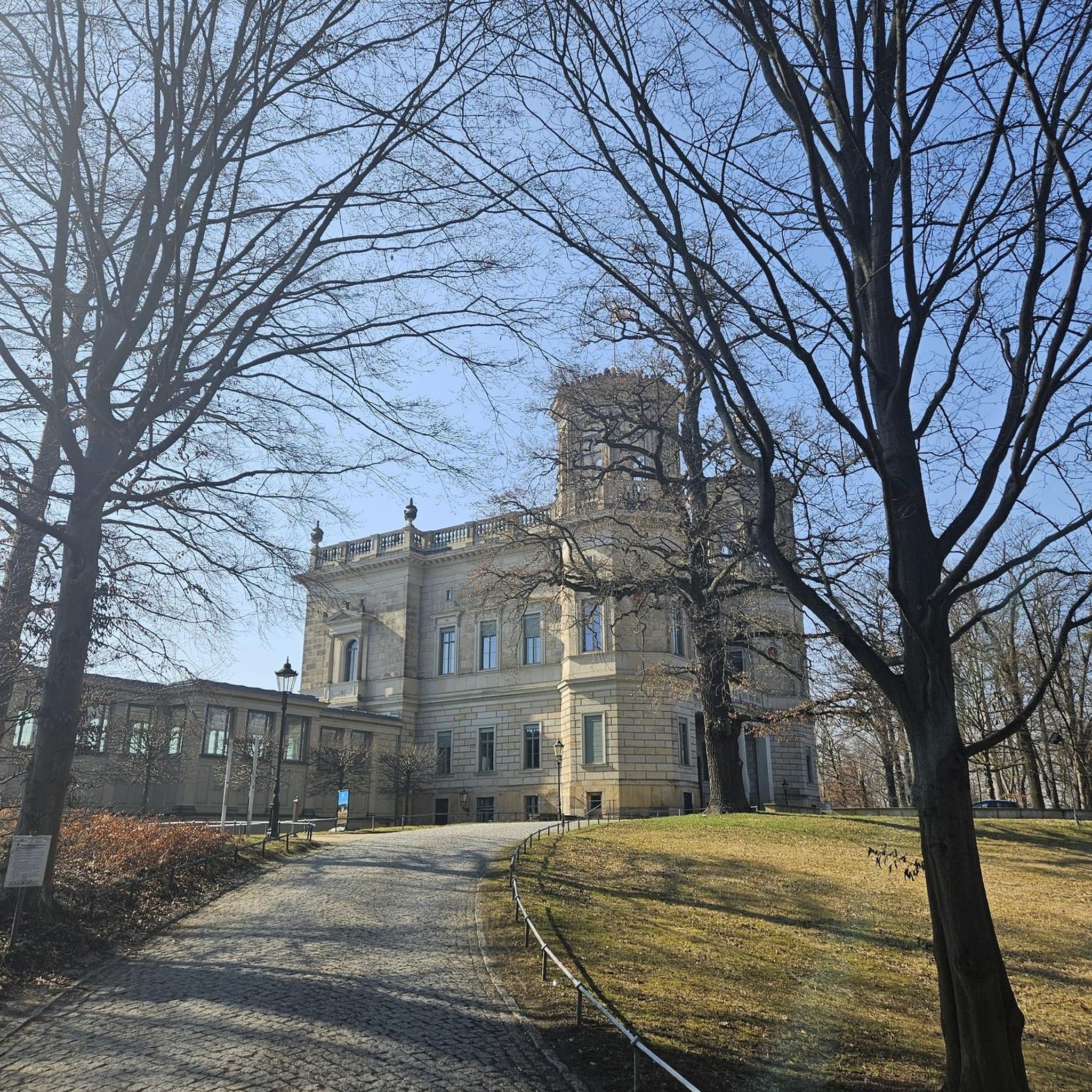
The Gailbergsattel is a 981 m above sea level. A[1] high mountain pass in Carinthia, which connects the Drautal and the Gailtal and the towns of Oberdrauburg in the north and Kötschach-Mauthen in the south. It separates the Reißkofel Group from the Lienz Dolomites. It is accessible via the B110 (Plöckenpass Straße).
3
0

The pass only has this steepness on the downhill side...not if you are approaching from the direction of Rattendorf. From there it is about 12 km of incline in waves 😉👍. Have fun
0
0

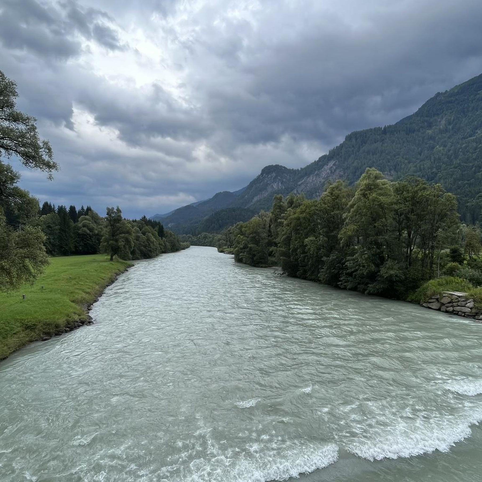
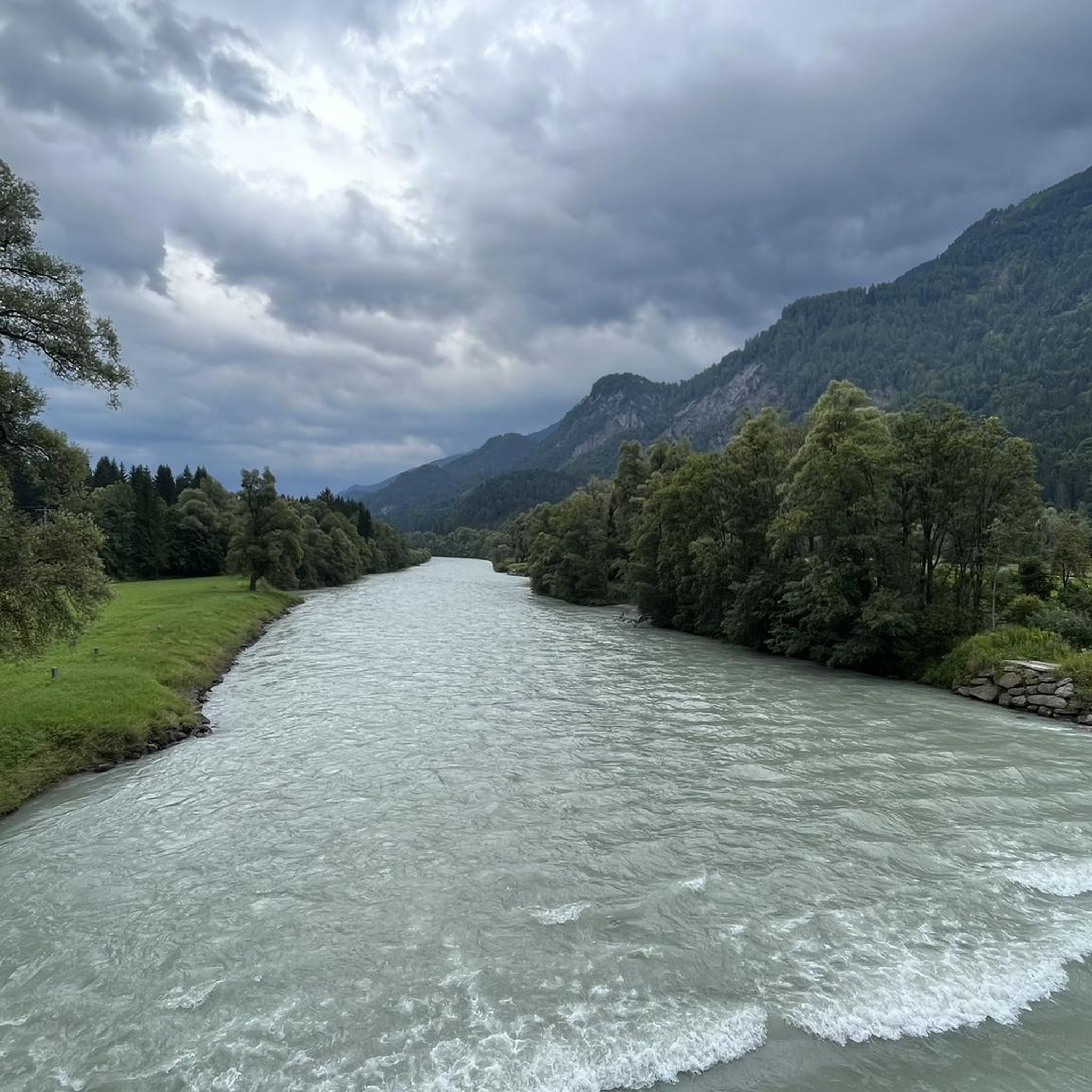
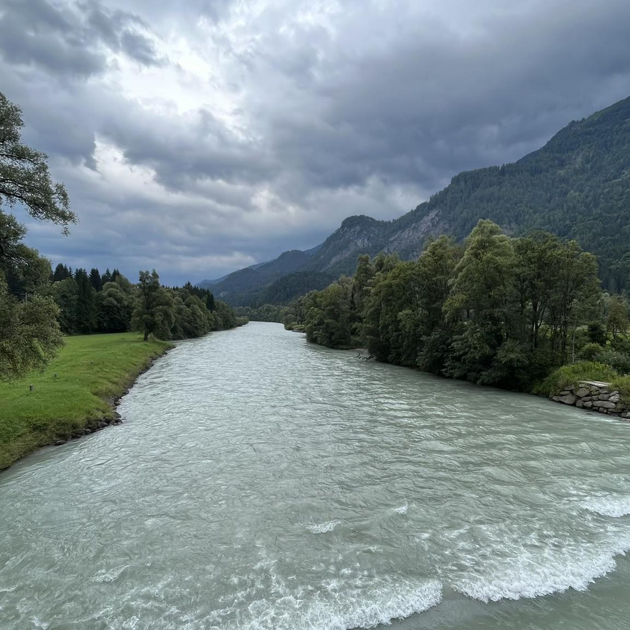
Pleasant to drive connection between Drau and Gailtal. Unfortunately sometimes quite a lot of traffic. Nice view along the way
4
0
Frequently Asked Questions
What are the most accessible mountain passes for scenic drives or cycling near Dellach im Drautal?
The most notable and accessible mountain pass for both scenic drives and cycling is the Gailbergsattel. It connects Oberdrauburg in the Drautal with Kötschach-Mauthen in the Gailtal, offering moderate inclines and panoramic views of the Drautal and the Dolomites.
Are there specific ascents known for cycling challenges or scenic views?
Yes, the Northern ascent to Gailbergsattel from Oberdrauburg is particularly well-regarded for cyclists. It features a steady gradient with around ten hairpin bends over almost seven kilometers, gaining approximately 350 meters in elevation, and offers excellent views.
What kind of views can I expect from the mountain passes in this region?
From passes like the Gailbergsattel and viewpoints such as Ochsentörl, you can enjoy extensive panoramic views. These often include the Drautal, the majestic Dolomites to the south, and the surrounding Gailtal Alps and Kreuzeckgruppe mountain ranges.
Are there hiking opportunities directly from the mountain passes?
Yes, the area around the Gailbergsattel serves as a starting point for various hiking trails, including sections of the Gailtaler Höhenweg and the Julius Kugy Alpine Trail. A detour to the Leppner Knappensee from this area offers fantastic views and a relaxing break.
What is the elevation of the main mountain passes near Dellach im Drautal?
The Gailbergsattel, a key pass in the region, stands at an elevation of 981 meters (3,219 ft). Other elevated crossings within the Gailtal Alps and Kreuzeckgruppe vary in altitude, offering diverse terrain for active recreation.
What outdoor activities can I do near these mountain passes?
Beyond driving and cycling the passes, the region offers extensive opportunities for hiking and mountaineering. You can find easy hikes like those in the Geißlochklamm, or more challenging mountain tours such as those leading to the Hochtristen or Naßfeldriegel Summit. Explore more options in the hiking guides for Dellach im Drautal.
Are there any challenging mountain passes or trails for experienced adventurers?
Yes, for those seeking a challenge, the region's diverse landscape includes demanding routes. For instance, the Plöcken Pass Northern Ascent from Kötschach-Mauthen is known for its challenging climb, though it was closed in 2024 due to a landslide. Always check current conditions before planning. Additionally, some trails feature steep descents, such as the 15% Steep Descent Warning highlight.
What is the best time of year to visit the mountain passes around Dellach im Drautal?
The best time to visit for driving, cycling, and hiking is generally from late spring through early autumn (May to October), when the passes are clear of snow and the weather is most favorable for outdoor activities. Always check local weather conditions, especially for higher elevations.
Are there any historical or cultural connections to the mountain passes in this area?
The passes in this region, particularly the Gailbergsattel, have historically been important for trade and cultural exchange, connecting the Drau and Gail valleys. While not explicitly historical landmarks, their role in regional connectivity is significant.
What do visitors enjoy most about the mountain passes near Dellach im Drautal?
Visitors frequently praise the scenic beauty and the enjoyable experience of traversing these passes. The Northern ascent to Gailbergsattel from Oberdrauburg is noted for its consistent gradient and well-maintained road, suitable for both racing bikes and cars. The panoramic views from spots like Ochsentörl are also highly appreciated.
Are there any family-friendly options for exploring the mountain passes?
While the passes themselves are primarily routes, the surrounding areas offer family-friendly hiking options. For example, easy hikes like those found in the Easy hikes around Dellach im Drautal guide, such as the Geißlochklamm, provide accessible natural experiences for families.
Where can I find information about public transport to the mountain passes or trailheads?
Information regarding public transport to specific mountain passes or trailheads can be limited, as many are best accessed by car or bicycle. For general travel information in the region, you might consult local tourism resources like Visit Carinthia for Dellach im Drautal, which may offer details on regional bus services or shuttle options.
Most popular routes around Dellach im Drautal
Most popular attractions around Dellach im Drautal

Get inspired with the komoot mobile app


Explore more
See even more epic mountain passes by checking out these guides around Dellach im Drautal:
