Mannsdorf an der Donau
Mannsdorf an der Donau
Top 18 Natural Monuments around Mannsdorf an der Donau
Natural monuments around Mannsdorf an der Donau are characterized by the Danube River and its extensive floodplain landscapes. The region is situated within the Donau-Auen National Park, preserving one of Central Europe's last largely intact floodplain ecosystems. This area offers diverse habitats and opportunities for outdoor activities such as hiking and cycling. Mannsdorf an der Donau provides access to a natural environment shaped by the dynamic interplay of the river.
Best natural monuments around Mannsdorf an der Donau
- The most…
Last updated: July 7, 2026
Danube-Auen National Park
Highlight (Segment) • Cycleway
Translated by Google •
Tip by

Southern tip of the Danube Island (Donauinsel)
Highlight • Viewpoint
Translated by Google •
Tip by

Sign up now to discover places like this
Get recommendations on the best single tracks, peaks, & plenty of other exciting outdoor places.
Sign up for free
Donauradweg Gravel Section, Nationalpark Donau-Auen
Highlight • Cycleway
Translated by Google •
Tip by

Orth an der Donau in the Donau-Auen National Park
Highlight (Segment) • Settlement
Translated by Google •
Tip by

Orther Islands
Highlight • Lake
While the first four islands already rise high out …
Translated by Google •
Tip by

Sign up for free to discover even more natural monuments around Mannsdorf an der Donau.
Sign up for free
Already have an account?
Start today with a free account
Your next adventure awaits.
Login or Signup
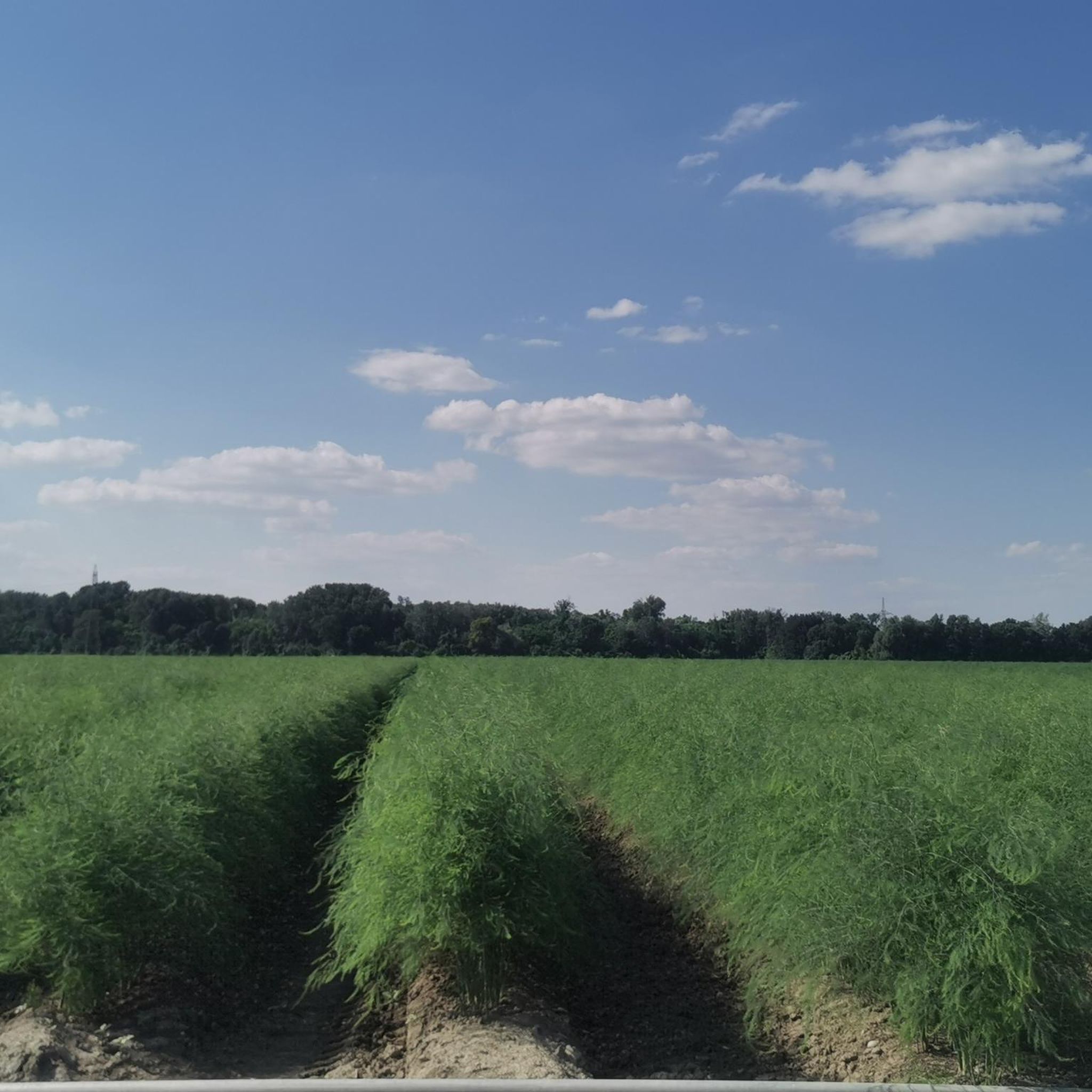
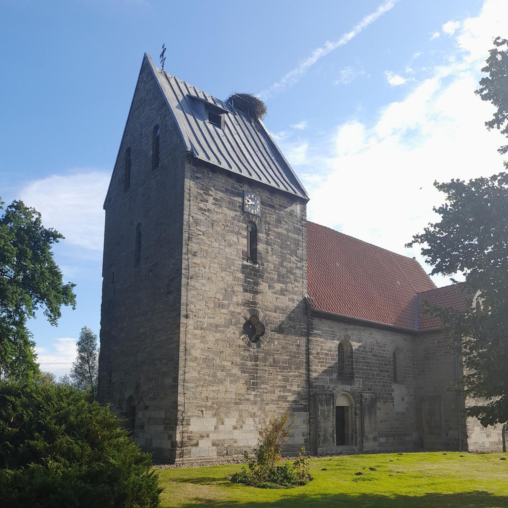
Tips from the Community

The almost standing body of water offers great photo opportunities with reflections.
0
0

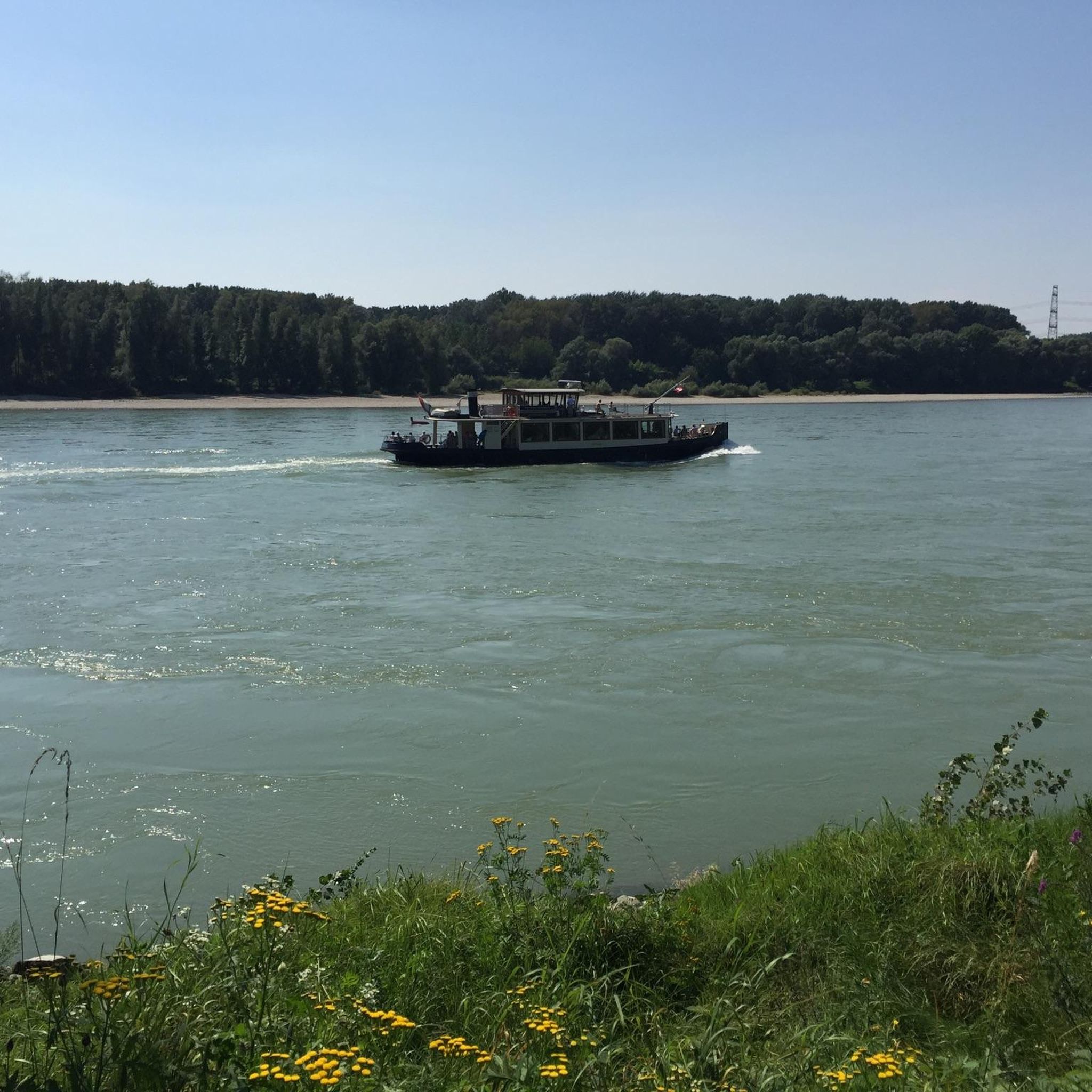
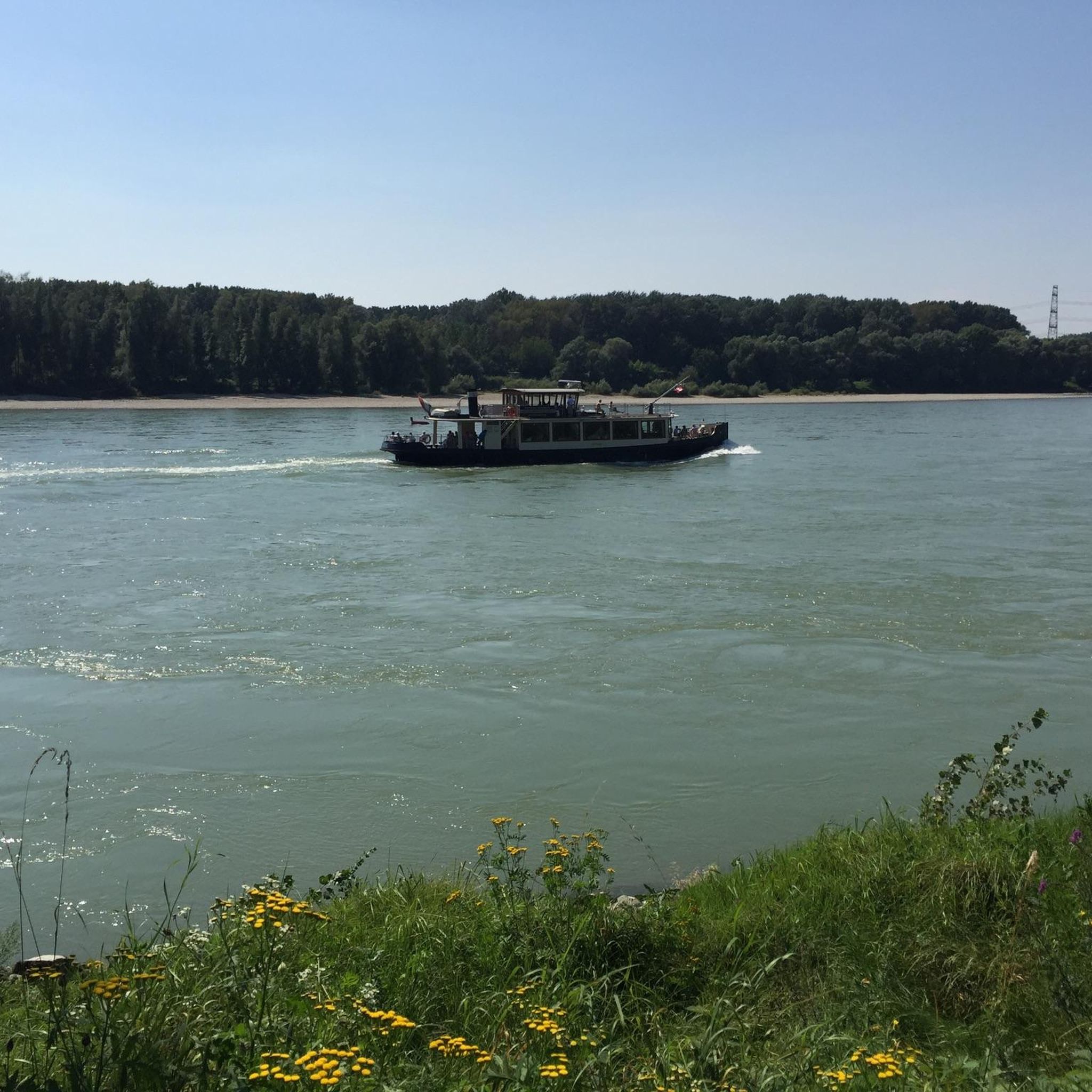
The Danube-Auen National Park is one of the last large, intact floodplain landscapes in Central Europe. It stretches along the Danube between Vienna and Bratislava and covers an area of around 9,600 hectares. The national park protects this unique river landscape, which is characterized by a dynamic interplay of floods, gravel banks, old watercourses and floodplain forests. The national park was created after the successful protests against the construction of a hydroelectric power plant in Hainburg in the 1980s. The protection of the floodplains became a milestone in the Austrian environmental movement. The Danube flows largely unregulated in this section, which means that natural flooding and changes in the course of the river remain possible. This dynamic creates diverse habitats.
2
1

Great cycle paths and beautiful nature
0
1

The Danube-Auen National Park is a 9,600 hectare national park that stretches from Vienna to the mouth of the March in Lower Austria on the border with Slovakia. It is one of the largest, largely intact floodplain landscapes in Central Europe along the Danube. The area is 38 kilometers long and measures barely four kilometers at its widest point.
3
0

Beautiful view of the Orther Islands from the shore path. The islands themselves are difficult to access due to the dense undergrowth.
0
0

EuroVelo 6 always a pleasure
1
0

The Donau-Auen National Park stretches from Vienna to the mouth of the March at the Slovakian border near Bratislava. With a total length of the protected floodplain area of 38 kilometers, the national park is barely 4 kilometers at its widest point, because floodplains are only found in the immediate vicinity of the river. In the north lies the wide plain of the Marchfeld and the protective dam, built in the 19th century, runs through the national park area. In the south, the border is formed by the edge of the Vienna Basin.
4
0
With the founding of the Donau-Auen National Park in 1996, this jewel was placed under international protection. Since then, nature has been able to develop here free of economic constraints and be experienced by guests to the area.
4
0
Frequently Asked Questions
What are the most popular natural monuments around Mannsdorf an der Donau?
The region is rich in natural beauty, primarily centered around the Danube River and the Donau-Auen National Park. Highly appreciated spots include the Southern tip of the Danube Island (Donauinsel), which offers expansive views where the New Danube meets the main river. Another favorite is the Donauradweg Gravel Section, Nationalpark Donau-Auen, a scenic cycle path with opportunities for bird observation. Visitors also enjoy the Orther Islands, known for their dynamic habitats and unique river formations.
What natural features can I explore within the Donau-Auen National Park?
The Donau-Auen National Park is a dynamic floodplain ecosystem characterized by the free-flowing Danube, extensive floodplain forests, gravel banks, and old watercourses. You can find a mosaic of habitats, including herbaceous vegetation, willow bushes, softwood riparian forests (with willows, black poplars, and alders), and hardwood riparian forests (with oak, maple, ash, and lime trees). The park's ever-changing landscape is shaped by water level fluctuations of up to 7 meters.
Are there family-friendly natural monuments around Mannsdorf an der Donau?
Yes, many natural monuments in the area are suitable for families. The Southern tip of the Danube Island (Donauinsel) and the Donauradweg Gravel Section, Nationalpark Donau-Auen are both categorized as family-friendly. The Donau-Auen National Park itself offers various easy trails and guided tours, some of which are wheelchair-accessible, making it enjoyable for all ages.
What kind of wildlife can I expect to see in the Donau-Auen National Park?
The Donau-Auen National Park is a haven for biodiversity. It is home to over 700 plant species, more than 30 mammal species, around 100 breeding bird species, 8 reptile species, 13 amphibian species, and approximately 50 fish species. Its diverse habitats make it an excellent spot for bird watching, with many species inhabiting or migrating through the area. Keep an eye out for rare species like the European pond turtle or the dogfish in the reconnected oxbow lakes.
What outdoor activities can I do near these natural monuments?
The region offers a variety of outdoor activities. You can enjoy hiking, cycling, and running along the Danube and within the Donau-Auen National Park. For specific routes, explore the Hiking around Mannsdorf an der Donau guide, the Road Cycling Routes around Mannsdorf an der Donau guide, or the Running Trails around Mannsdorf an der Donau guide.
Can I cycle along the Danube near Mannsdorf an der Donau?
Absolutely. The famous Danube Cycle Path (Donauradweg) runs directly through Mannsdorf an der Donau, offering splendid views of the surrounding landscape, particularly along the Hubertusdamm. The Donauradweg Gravel Section, Nationalpark Donau-Auen is a popular part of this route, providing a relaxed ride with no significant incline, suitable for all ages.
Where can I find visitor information for the Donau-Auen National Park?
The Schloss Orth National Park Center serves as the primary visitor center and museum for the Donau-Auen National Park. It offers exhibitions about the park and provides opportunities for guided tours with rangers, enhancing your understanding of this unique natural area. The highlight Orth an der Donau in the Donau-Auen National Park also mentions the castle as the seat and visitor center.
What makes the Orther Islands a unique natural monument?
The Orther Islands are a particularly dynamic habitat formed by the Danube River. Here, the river actively creates new gravel areas, forms islands, and reconnects side arms, constantly reshaping the landscape. This process leads to the growth of real primeval forests on the islands and increases water areas in the Au, benefiting rare animal species.
Are there accessible trails for wheelchairs in the Donau-Auen National Park?
Yes, the Donau-Auen National Park offers guided tours, some of which are wheelchair-accessible. This allows visitors with mobility challenges to experience the unique natural environment of the floodplain landscape.
What is the best time to visit the natural monuments around Mannsdorf an der Donau?
The Donau-Auen National Park and the Danube River offer beauty throughout the year, but spring and autumn are particularly pleasant for outdoor activities like hiking and cycling, with milder temperatures and vibrant natural colors. Summer is ideal for water-based activities and enjoying the riverbanks, while winter can offer serene, frosty landscapes, though some areas might be less accessible.
What can I see at the Southern tip of the Danube Island?
At the Southern tip of the Danube Island (Donauinsel), you can witness where the New Danube converges with the main Danube River. This spot provides a gigantic view towards Schwechat and the airport. It's a peaceful place to sit, watch the Danube flow, observe ships, and soak in the atmosphere.
Are there any viewpoints to enjoy the Danube landscape near Mannsdorf an der Donau?
Yes, the Southern tip of the Danube Island (Donauinsel) offers a fantastic panoramic view of the Danube and the surrounding area. Additionally, locations like Wagram Hill, mentioned in regional research, are known to provide breathtaking views of the river and its landscapes.
Most popular routes around Mannsdorf an der Donau
Most popular attractions around Mannsdorf an der Donau

Get inspired with the komoot mobile app


Explore more
Extend your search for the best caves by checking out these guides of the top ones around Mannsdorf an der Donau:
