The best road cycling routes around Leggia
4.8
(49)
1,105
riders
15
rides
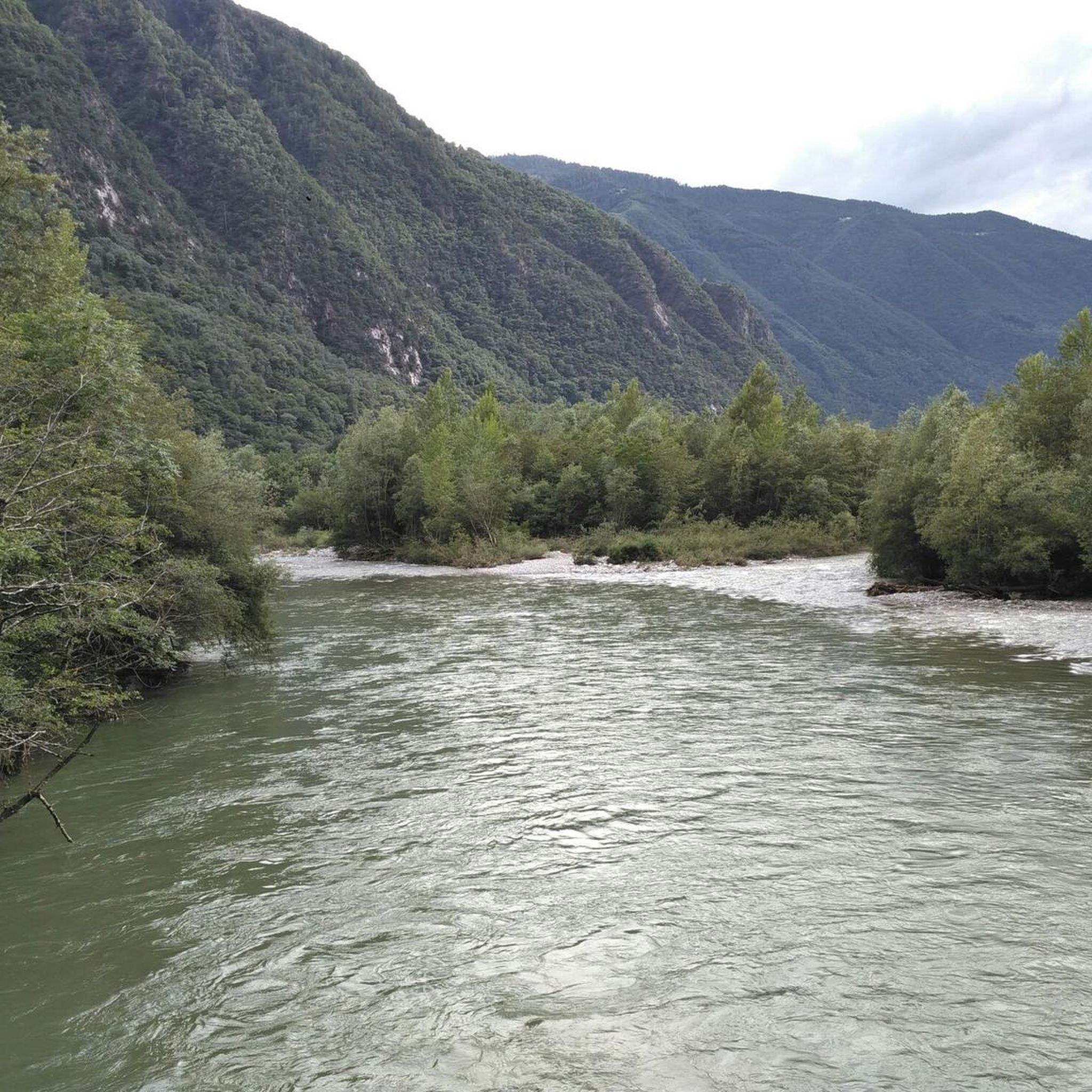
Road cycling routes around Leggia traverse a diverse landscape characterized by significant mountain passes and deep valleys. The region's terrain includes challenging climbs and descents, offering varied elevation profiles for road cyclists. Mountain streams and chestnut forests are common natural features encountered along many routes. This area provides a range of road cycling experiences, from demanding ascents to more undulating valley rides.
Best road cycling routes around Leggia
- The most popular road cycling route is Graubünden Route: San Bernardino Pass…
Last updated: July 7, 2026
5.0
(4)
262
riders
80.5km
04:39
1,880m
1,880m
Cycle the difficult 50-mile Graubünden Route from San Bernardino Pass to Bellinzona, featuring a dramatic alpine-to-Mediterranean descent.
4.0
(1)
53
riders
41.7km
03:08
1,710m
1,710m
This difficult 25.9-mile road cycling loop in Val Arbedo offers 5596 feet of elevation gain, alpine views, and varied terrain.

Sign up for free
5.0
(1)
109
riders
56.4km
03:20
1,340m
1,340m
Hard road ride. Very good fitness required. Mostly well-paved surfaces and easy to ride.
25
riders
15.1km
01:13
640m
640m
Moderate road ride. Good fitness required. Mostly well-paved surfaces and easy to ride.
5.0
(3)
24
riders
27.7km
01:22
340m
340m
Moderate road ride. Good fitness required. Mostly well-paved surfaces and easy to ride.
Get access to more routes and recommendations from other explorers.
Sign up for free
Already have an account?
Our route recommendations are based on thousands of hikes, rides, and runs completed by other people on komoot.
Start today with a free account
Your next adventure awaits.
Login or Signup

Other adventures around Leggia

Tips from the Community

Beautiful nature and many views that cannot be seen from the pass road
0
0

Monte Laura is located at around 1,400 meters above Roveredo. The small hamlet is accessible via a winding road from the village and is spread loosely over the slopes. From up here, you have a beautiful view of the Misox valley and are quickly out of the valley hustle and bustle.
0
0

Stage 7: San Bernardino – Bellinzona An exhilarating descent through the Mesolcina Valley. Eagerly absorbing the mild southern climate. In Mesocco, cyclists enjoy the largest ruin in Switzerland and, at the end of the tour, in Bellinzona, the defiant towers and walls of the tre castelli. Refreshed, they follow the rushing Moësa River out of the lively resort town of San Bernardino. The 46-kilometer-long tributary of the Ticino rises at the San Bernardino Pass and gives its name to the Mesolcina Valley (Misox). Although Italian is spoken in the valley, as in the Poschiavo and Bregaglia valleys, it has always maintained close ties to Graubünden. In the smaller villages, where many of the houses are covered with stone slabs, time seems to have stood still. You hardly stop on your bike during the rapid descent towards the south. Surrounded by rocky cliffs, you roar along a well-maintained road with countless skid marks. The highway, which practically hangs from the mountain, seems a bit surreal. Later, a varied side road leads down to Mesocco. Magnificent views of the valley are revealed. Below the village, perched on a rocky outcrop, are the ruins of the Castello di Mesocco, the 11th-century ancestral castle of the Count of Misox. It is considered one of the most important in Graubünden and the largest in Switzerland. Roveredo is the main town in the lower Misox Valley. And what could be nicer here than a break in a cool grotto, enjoying a typical lunch menu and a glass of local wine? The village also boasts several beautiful 17th-century houses, such as the one designed by local architect and builder Enrico Zuccalli. A secluded stretch follows near Lumino, just after crossing the highway and the river. A forest path leads along the Moësa River over hill and dale. Passing an inviting forest garden grotto and some secluded swimming spots, you reach Arbedo-Castione. Here, the Moësa flows into the Ticino River. Text / Source: Schweizmobil.ch https://schweizmobil.ch/de/veloland/route-6/etappe-7
14
0

The lake can be bypassed with a mountain bike. Two gates can only be bypassed by stopping and pushing. :-(
1
0

The view from the small tower is truly magnificent. Definitely worth seeing if you pass by the area!
0
0
Short flat stretch that allows you to regain some strength.
0
0

One of the most beautiful passes IMHO! Very long from the south, never too steep (if you stay on the main road: do not take the bike path after Mesocco!), and you will experience the vegetation transitioning from palm trees to alpine climate! The S. Bernardino village is a bonus, take the chance to eat something and get a water refill before the last push.
0
0
Torre di Santa Maria The medieval residential tower was built in the 13th/14th century by the Counts of Sax. Overlooking the valley floor of the Misox, it was part of a territorial control system. The pentagonal tower is inspired by architectural models from central France. Text / Source: Raetia Association, grisun & romanisch https://www.visit-moesano.ch/de/chiesa-parrocchiale-santa-maria-assunta
14
0
Frequently Asked Questions
What kind of road cycling terrain can I expect around Leggia?
Road cycling around Leggia offers a diverse landscape with significant mountain passes and deep valleys. You'll encounter challenging climbs and descents, providing varied elevation profiles. The region is characterized by its mountains, mountain passes, and scenic valleys, with natural features like mountain streams and chestnut forests along many routes.
Are there road cycling routes suitable for beginners or those looking for an easier ride?
Yes, Leggia offers routes for various ability levels. For an easier ride, consider the View of Torre Palas – View of Castelgrande loop from San Vittore, which is 26.5 miles (42.7 km) with minimal elevation gain. Another option is the Torre Fiorenzana, Grono – View of Torre Palas loop from Grono, also rated as easy.
What are some of the more challenging road cycling routes in the Leggia area?
For experienced road cyclists seeking a challenge, the Graubünden Route: San Bernardino Pass to Bellinzona is a demanding 50.0 miles (80.5 km) route featuring a significant climb over the San Bernardino Pass. Another difficult option is the Alpe di Gesero Loop from Arbedo, which includes substantial elevation gain through mountainous terrain.
What natural features or landmarks can I expect to see while road cycling in Leggia?
The Leggia region is rich in natural beauty and historical sites. You might encounter several waterfalls, such as the Lostallo Village and Waterfall or the Ria di Val Grona Waterfall. The area also features mountain peaks like San Jorio Hut and Pizzo di Claro Summit, offering panoramic views. Historical sites like the ruins of Castello di Mesocco and 17th-century houses add a cultural dimension to your ride.
Is parking available for cyclists in Leggia?
While specific parking areas for cyclists are not detailed, Leggia is a municipality in Switzerland, and parking facilities are generally available in and around villages. It's advisable to check local signage or municipal websites for designated parking zones, especially near potential route starting points.
Can I access road cycling routes in Leggia using public transport with my bike?
Switzerland has an extensive public transport network that often accommodates bikes, especially on regional trains and post buses. However, policies can vary, and reservations for bikes might be required during peak times or on certain routes. It's recommended to check the specific public transport provider's website for their bike transport regulations and schedules before planning your trip.
Do I need any special permits for road cycling in Leggia?
Generally, no special permits are required for road cycling on public roads in Switzerland. However, always respect local traffic laws and any specific signage for cycling paths or restricted areas. If you plan to venture onto private land or specific trails, it's always best to check for any access requirements.
What is the best time of year for road cycling in Leggia?
The best time for road cycling in Leggia is typically from spring through autumn (May to October). During these months, the weather is generally milder, and mountain passes are more likely to be clear of snow. Summer offers the warmest temperatures, but spring and autumn provide pleasant conditions with fewer crowds and vibrant scenery. Always check the local weather forecast before heading out, especially when planning to tackle higher elevations.
Are there any circular road cycling routes in Leggia?
Yes, several routes in the Leggia area are designed as loops. Examples include the Alpe di Gesero Loop from Arbedo and the Torre Fiorenzana, Grono – View of Torre Palas loop from Grono. These circular routes allow you to start and end your ride in the same location, offering convenience and varied scenery.
What do other road cyclists enjoy most about road cycling in Leggia?
The road cycling routes around Leggia are highly rated by the komoot community, with an average score of 4.8 stars from over 50 reviews. Cyclists often praise the challenging mountain passes, the scenic beauty of the valleys, and the opportunity to explore historical sites along the way. The diverse terrain caters to various skill levels, making it a popular destination for many.
Are there options for food and drink along the road cycling routes?
While specific cafes or pubs directly on every route are not detailed, the region offers places like Crotto Dangri, a rustic restaurant in the local mountain region. Mountain huts such as the San Jorio Hut also provide accommodation and food. Cycling through villages will likely offer opportunities for refreshments.
How many road cycling routes are available around Leggia?
There are over 15 road cycling routes available around Leggia, offering a wide range of experiences from easy valley loops to demanding alpine ascents. These routes cater to different fitness levels and preferences.
Most popular attractions around Leggia

Get inspired with the komoot mobile app


Explore more
Browse the best Road cycling routes in other regions.
