Top 12 Natural Monuments around Tschiertschen
Best natural monuments around Tschiertschen are found in a region characterized by alpine scenery and mountain ranges. Tschiertschen, a mountain village at 1,350 meters, is surrounded by peaks over 2,000 meters high. The area offers over 70 kilometers of hiking trails, connecting to neighboring towns and leading to various natural features. This landscape provides diverse opportunities for exploring geological formations and mountain environments.
Best natural monuments around Tschiertschen
- The most popular natural monument is Dreibündenstein Monument, a historical monument…
Last updated: August 17, 2026
Dreibündenstein Monument
Highlight • Monument
Showing Translation
Tip by

Weisshorn Summit (2,653 m)
Highlight • Summit
Translated by Google •
Tip by

Sign up now to discover places like this
Get recommendations on the best single tracks, peaks, & plenty of other exciting outdoor places.
Sign up for free
St. Luzi Chapel
Highlight • Religious Site
Translated by Google •
Tip by

Brambrüesch Moor
Highlight • Natural Monument
Translated by Google •
Tip by
Glattwangseeli (2265 m)
Highlight • Lake
The Glattwangseeli is a small mountain lake in the municipality of Jenaz in the canton of Graubünden. It is located at 2260 meters above sea level …
Translated by Google •
Tip by

Sign up for free to discover even more natural monuments around Tschiertschen.
Sign up for free
Already have an account?
Start today with a free account
Your next adventure awaits.
Login or Signup
Popular around Tschiertschen
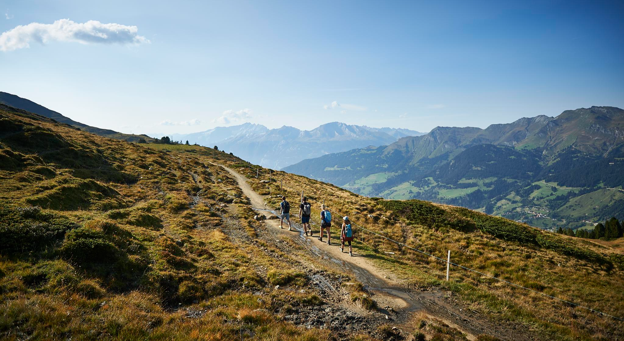
The favourite routes of the locals - hiking around Arosa
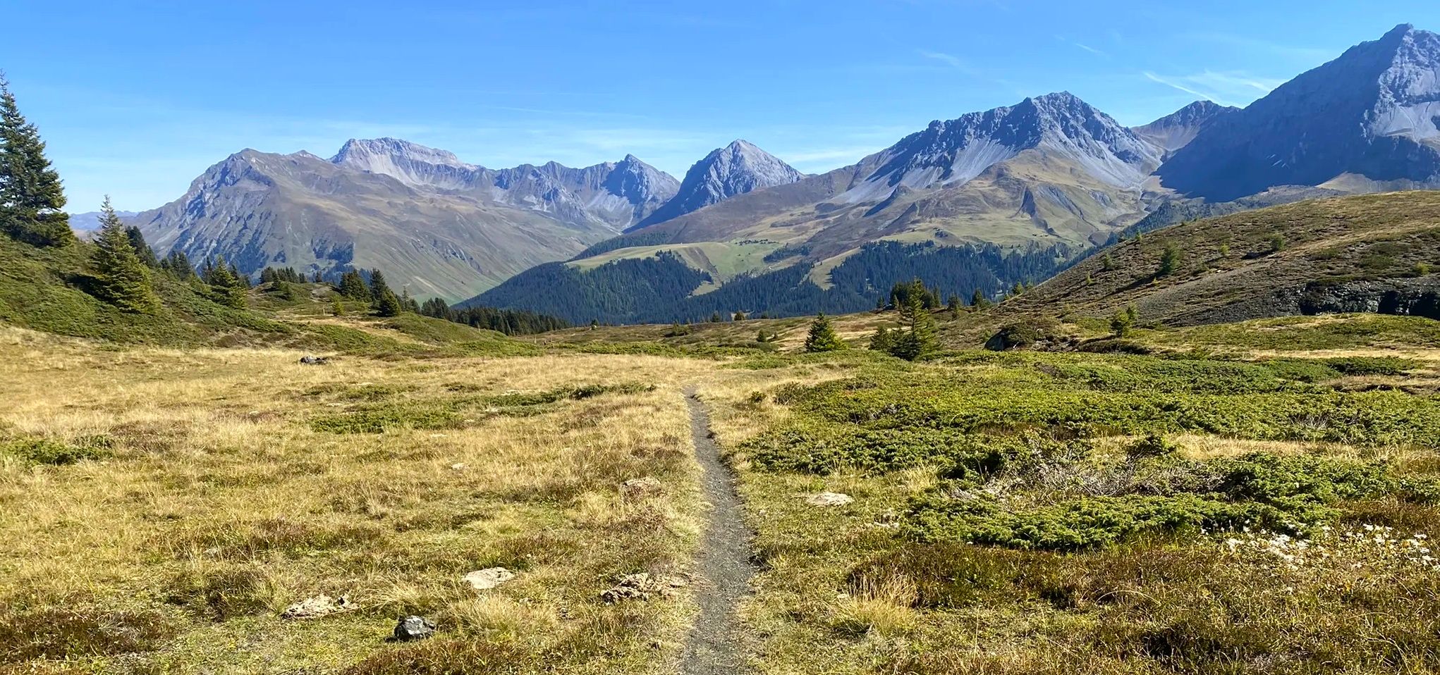
Explore an entire valley on foot - Schanfigger Höhenweg

On ancient paths towards Santiago — the Way of St. James Graubünden
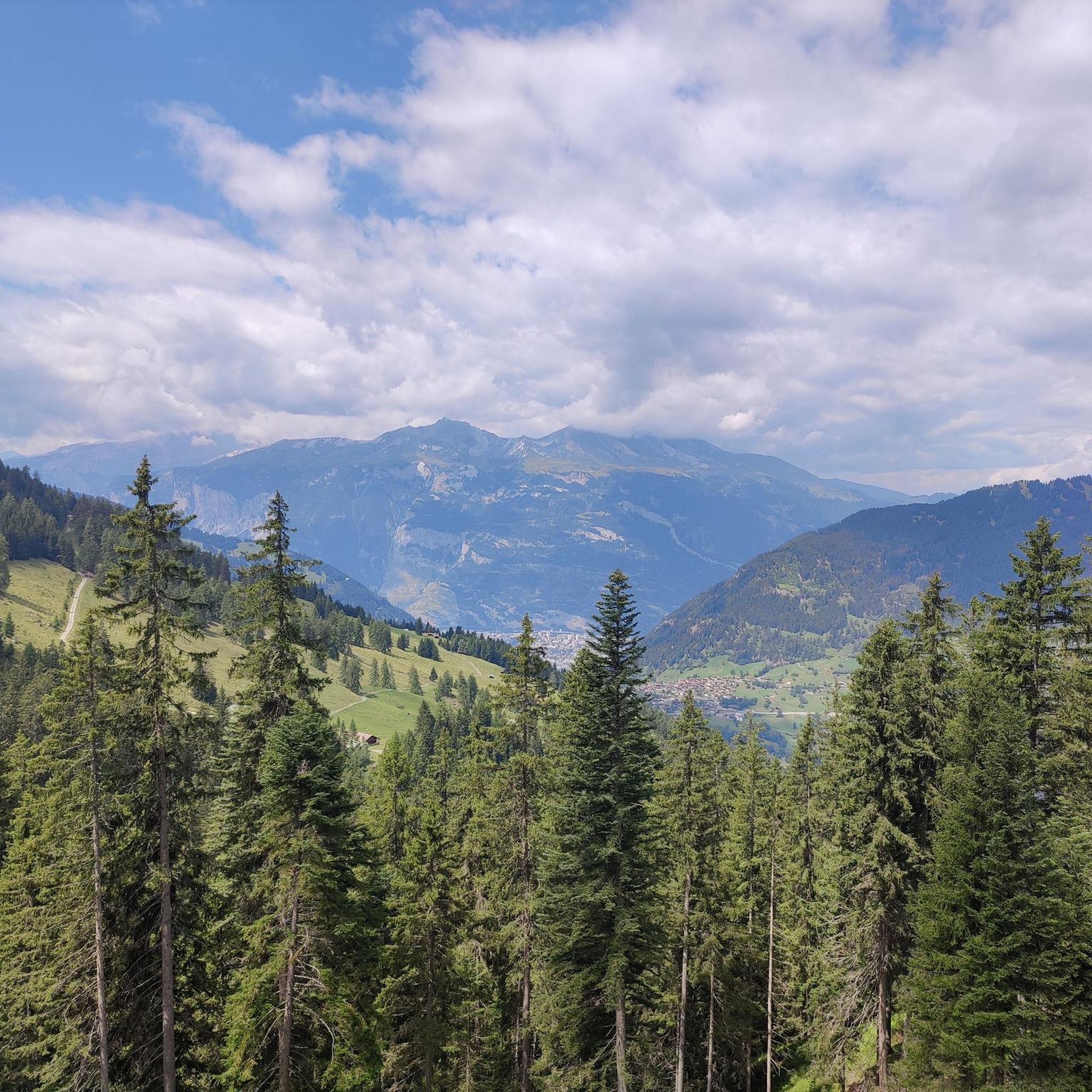
MTB Trails around Tschiertschen
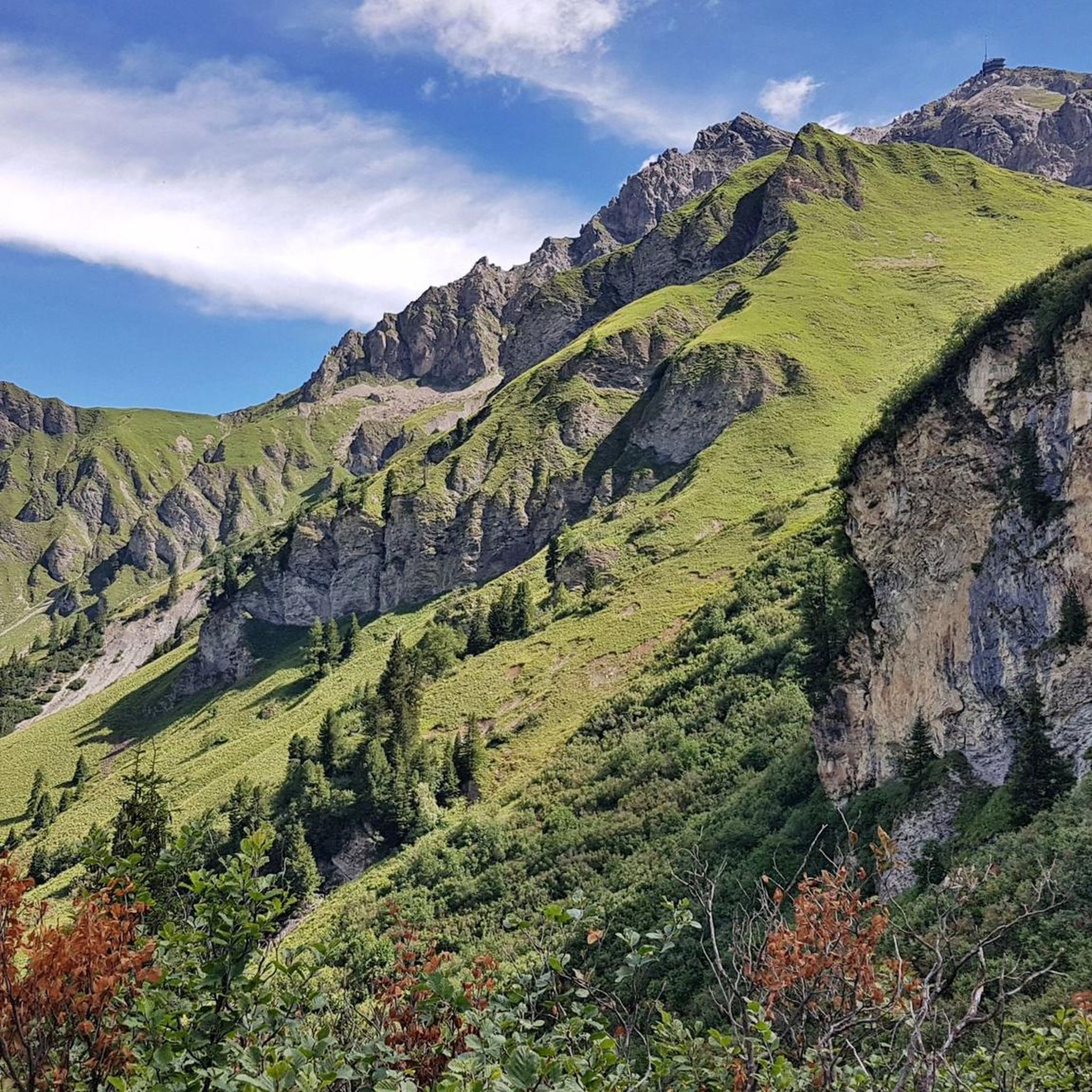
Cycling around Tschiertschen
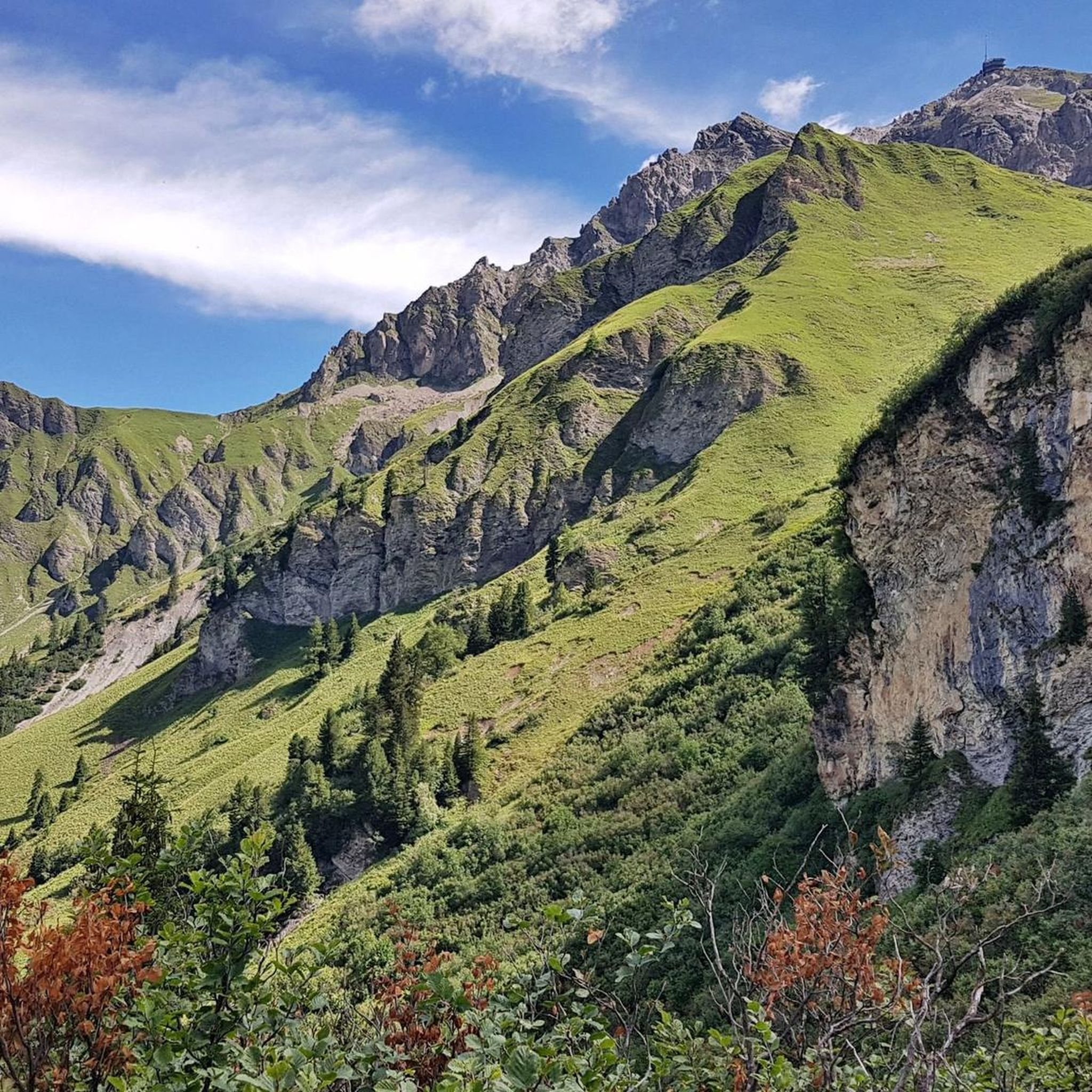
Road Cycling Routes around Tschiertschen
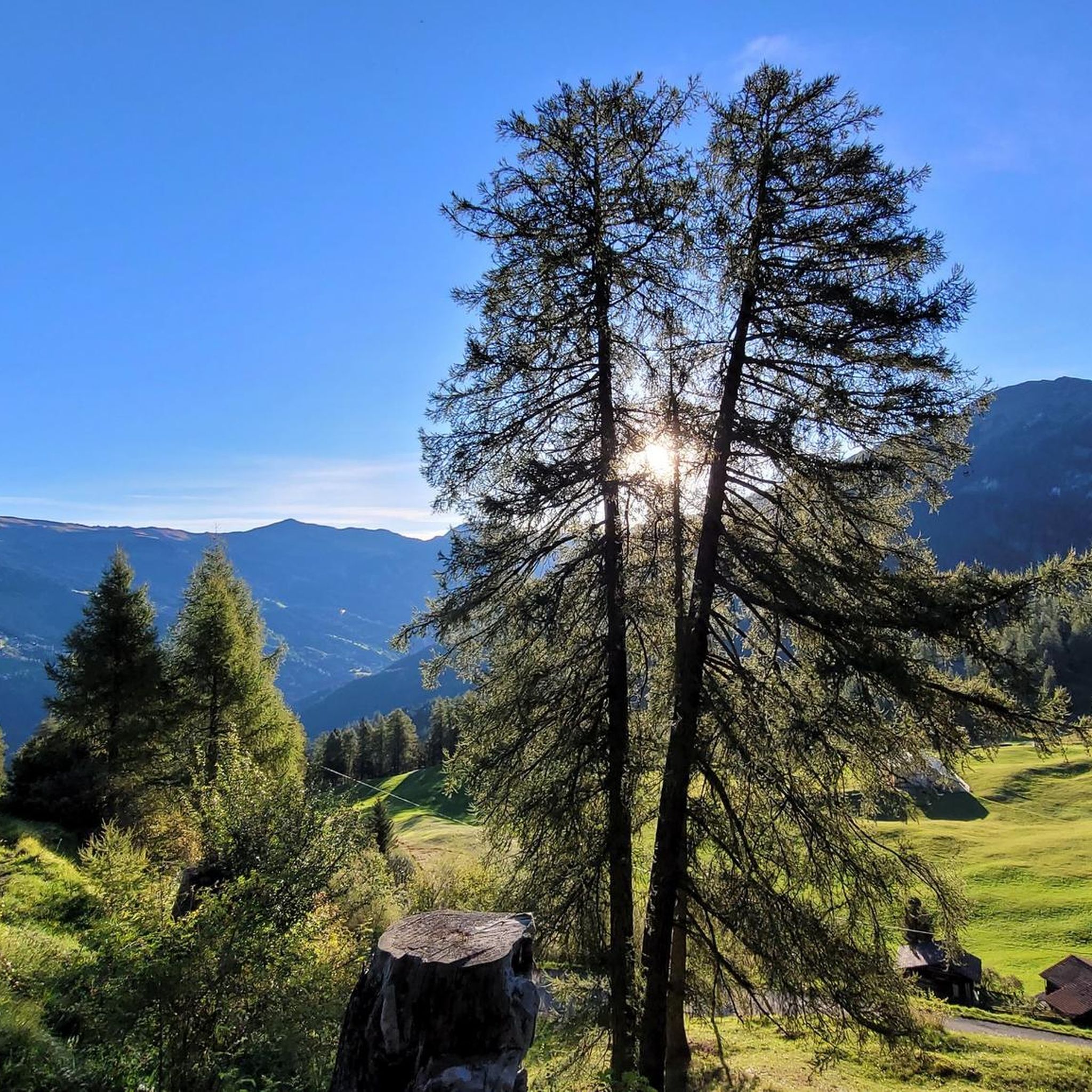
Hiking around Tschiertschen

Gravel biking around Tschiertschen
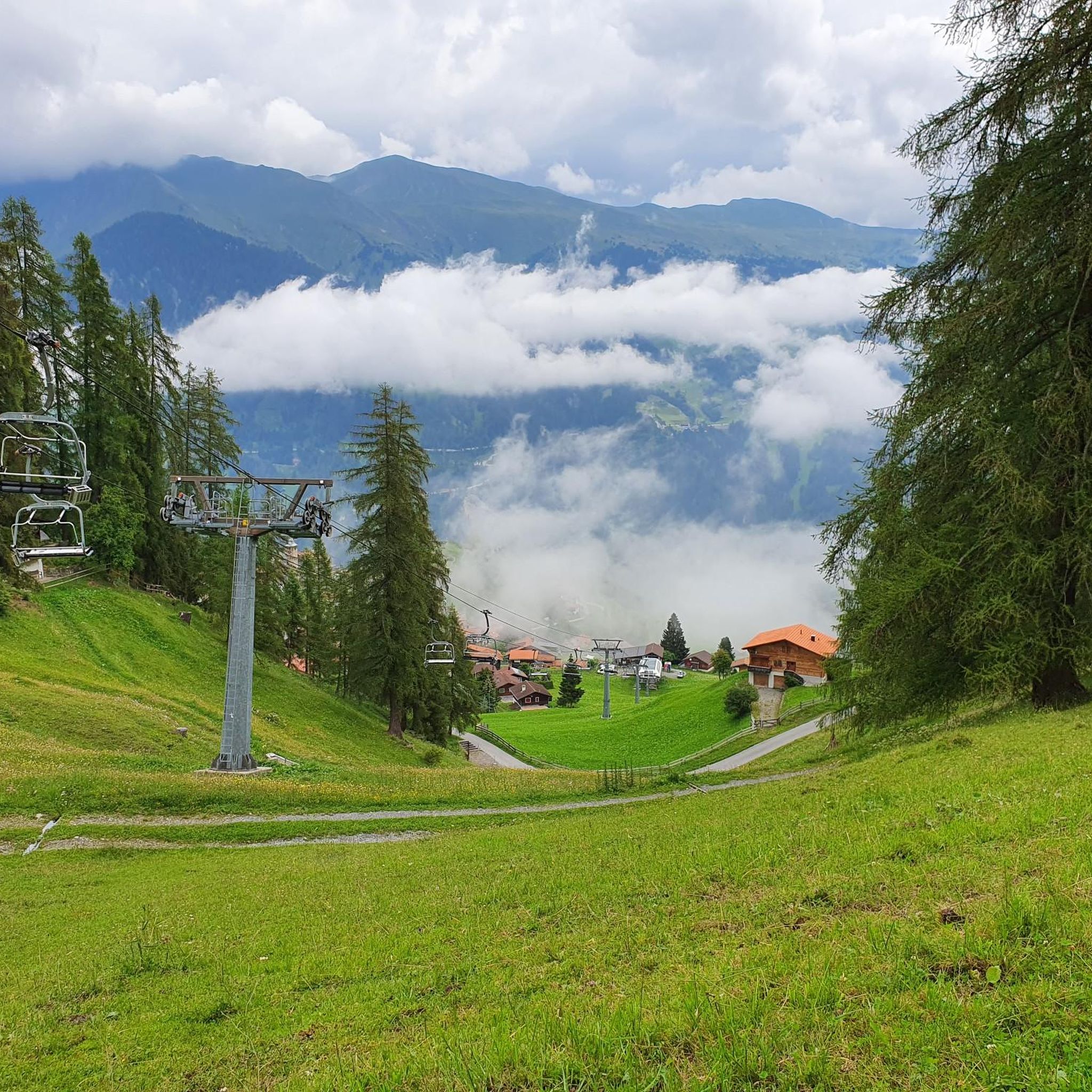
Running Trails around Tschiertschen
Other adventures around Tschiertschen


Tips from the Community

Beautiful surroundings, mountains, rich green, view, dragonflies...
0
0

Prepare for a long, exhausting but amazing 2000 descent!
0
0

A true highlight on this route is the St. Luzi Chapel. It invites you to pause and take a break. Several benches are set up outside. The chapel is apparently open during the day.
1
0

Top view into the distance and of Arosa
0
0

This small chapel, which is nestled in a rock niche, is a wonderful "power place". There are benches for resting and, for the brave, a path up to the front to enjoy the view from the rocks. The diverse geological traces in the rock above and behind the chapel are particularly fascinating!
0
0

Renaturation has created an interesting biotope on Chur's local mountain, Brambrüesch. You can explore the fen on the moor course, but you will have to get off your bike for a short time. It's still worth it.
0
0

An idyllic place that is easy to reach on the way from Chur to the Mittenberg.
0
0
You can reach the 2,653-meter-high summit of the Weisshorn either by taking a strenuous but very worthwhile hike, or by taking the cable car in a very relaxed manner while sitting down. A fantastic view in all directions awaits you at the top.
2
0
Frequently Asked Questions
What unique geological features can I explore around Tschiertschen?
Tschiertschen is home to the fascinating Steinmannli Earth Pyramids, located in Gründjitobel along the old path connecting Tschiertschen to Molinis. These unique formations offer a glimpse into the region's ancient geological processes. Additionally, you can find several stunning mountain lakes like Grüenseeli and Glattwangseeli (2265 m).
Are there any family-friendly natural monuments or trails in Tschiertschen?
Yes, the Füxliweg (Fox Trail) is a great option for families, offering a playful circular hike with 14 stops and a designated barbecue spot. Grüenseeli, a crystal-clear mountain lake, also provides a tranquil setting with a picnic area, making it suitable for families. While the Schmetterlingsweg (Butterfly Trail) is educational and has barbecue spots, it is not suitable for strollers.
What are the best natural monuments for panoramic views in the Tschiertschen area?
For breathtaking panoramic views, head to the Weisshorn Summit (2,653 m). You can reach it via a strenuous hike or comfortably by cable car. The prominent mountain Gürgaletsch also offers rewarding panoramic views after a challenging hike during the summer months.
What historical natural monuments can be found near Tschiertschen?
The most notable historical monument is the Dreibündenstein Monument. This historical marker at 2,156 meters altitude signifies the triple border point of the former Free State of the Three Leagues. The replacement stone from 1915 bears the three coats of arms of these leagues, commemorating a significant piece of Graubünden's history.
What outdoor activities can I do near the natural monuments in Tschiertschen?
The Tschiertschen region offers over 70 kilometers of hiking trails, connecting to neighboring towns and leading to various natural features. You can also find opportunities for gravel biking, cycling, and running. For more details on routes, check out the guides for Gravel biking around Tschiertschen, Cycling around Tschiertschen, and Running Trails around Tschiertschen.
When is the best time to visit Tschiertschen for exploring natural monuments?
The summer months are ideal for hiking and exploring the alpine natural monuments like Gürgaletsch and the numerous hiking trails. For winter sports enthusiasts, the Natural Snowpark Tschiertschen offers exceptional opportunities for snow sports away from conventional slopes, making winter a great time for a different kind of natural experience.
Are there any natural monuments suitable for dog-friendly walks?
While specific dog-friendly natural monuments aren't explicitly listed, many of the 70 kilometers of hiking trails around Tschiertschen are suitable for walks with dogs. It's always advisable to keep dogs on a leash, especially in nature protection areas or near grazing animals, and to check local regulations for specific trails.
What are some easy natural monument trails for beginners in Tschiertschen?
The Füxliweg (Fox Trail) is a leisurely circular hike, perfect for beginners and families. While the Schmetterlingsweg (Butterfly Trail) is also a moderate 4.18-kilometer hike, it's generally accessible. For specific easy routes, look for trails leading to Grüenseeli, which is known for its tranquil setting.
What do visitors enjoy most about the natural monuments around Tschiertschen?
Visitors frequently appreciate the stunning panoramic views from summits like Weisshorn Summit (2,653 m) and the tranquil beauty of mountain lakes such as Grüenseeli. The historical significance of sites like the Dreibündenstein Monument also draws interest. The region's quiet nature and extensive hiking opportunities are highly valued for recharging and enjoying the serene environment.
How can I reach the natural monuments around Tschiertschen using public transport?
Tschiertschen is a mountain village, and while specific public transport details for each monument are not provided, the village itself is accessible. From Tschiertschen, many natural monuments and trailheads can be reached on foot. It's recommended to check local bus schedules from Tschiertschen to specific starting points for trails leading to monuments like the Steinmannli Earth Pyramids or the Schmetterlingsweg.
Are there opportunities for winter sports at the natural monuments in Tschiertschen?
Yes, the Natural Snowpark Tschiertschen offers unique winter sports experiences. It features a 'pillow line' for powder snow runs, a 'big jump' over the reservoir at the Clüs, the 'Double Wave' for gentle take-offs, and a pipe next to the Alpina slope. There's also a mini-snowpark with obstacles for all skill levels on days without abundant natural powder.
What kind of mountain landscapes can I expect to see in Tschiertschen?
Tschiertschen is nestled amidst impressive mountain ranges, offering beautiful views of the alpine landscape and the valley. The village itself is at an altitude of 1,350 meters, extending up to the Parpan Weisshorn at 2,776 meters above sea level. This provides extensive opportunities for hiking and enjoying the vast natural environment, characterized by peaks over 2,000 meters high.
Most popular routes around Tschiertschen
Most popular attractions around Tschiertschen

Get inspired with the komoot mobile app


Explore more
Extend your search for the best caves by checking out these guides of the top ones around Tschiertschen:
