Top 20 Natural Monuments around Sachseln
Best natural monuments around Sachseln are found in a region characterized by its diverse natural beauty, including serene lakes, deep gorges, and prominent mountain features. Sachseln, located in the heart of Switzerland, offers a blend of significant geological formations and expansive landscapes. The area is known for its mountainous topography and the presence of large lakes, contributing to its natural allure. These natural features provide a setting for outdoor exploration and offer various viewpoints.
Best natural monuments around Sachseln
- The…
Last updated: August 17, 2026
Stanserhorn Summit
Highlight • Summit
Translated by Google •
Tip by

Aare Gorge
Highlight (Segment) • Gorge
Translated by Google •
Tip by

Sign up now to discover places like this
Get recommendations on the best single tracks, peaks, & plenty of other exciting outdoor places.
Sign up for free
Trübsee
Highlight • Lake
Translated by Google •
Tip by

Lake Lungern
Highlight • Lake
Translated by Google •
Tip by

Engstlensee
Highlight • Lake
Translated by Google •
Tip by

Sign up for free to discover even more natural monuments around Sachseln.
Sign up for free
Already have an account?
Start today with a free account
Your next adventure awaits.
Login or Signup
Popular around Sachseln

Trans Swiss Trail – Hiking across Switzerland

Via Jacobi – Following the Way of St James across Switzerland

On the Tell Trail over the Big 6 of Central Switzerland
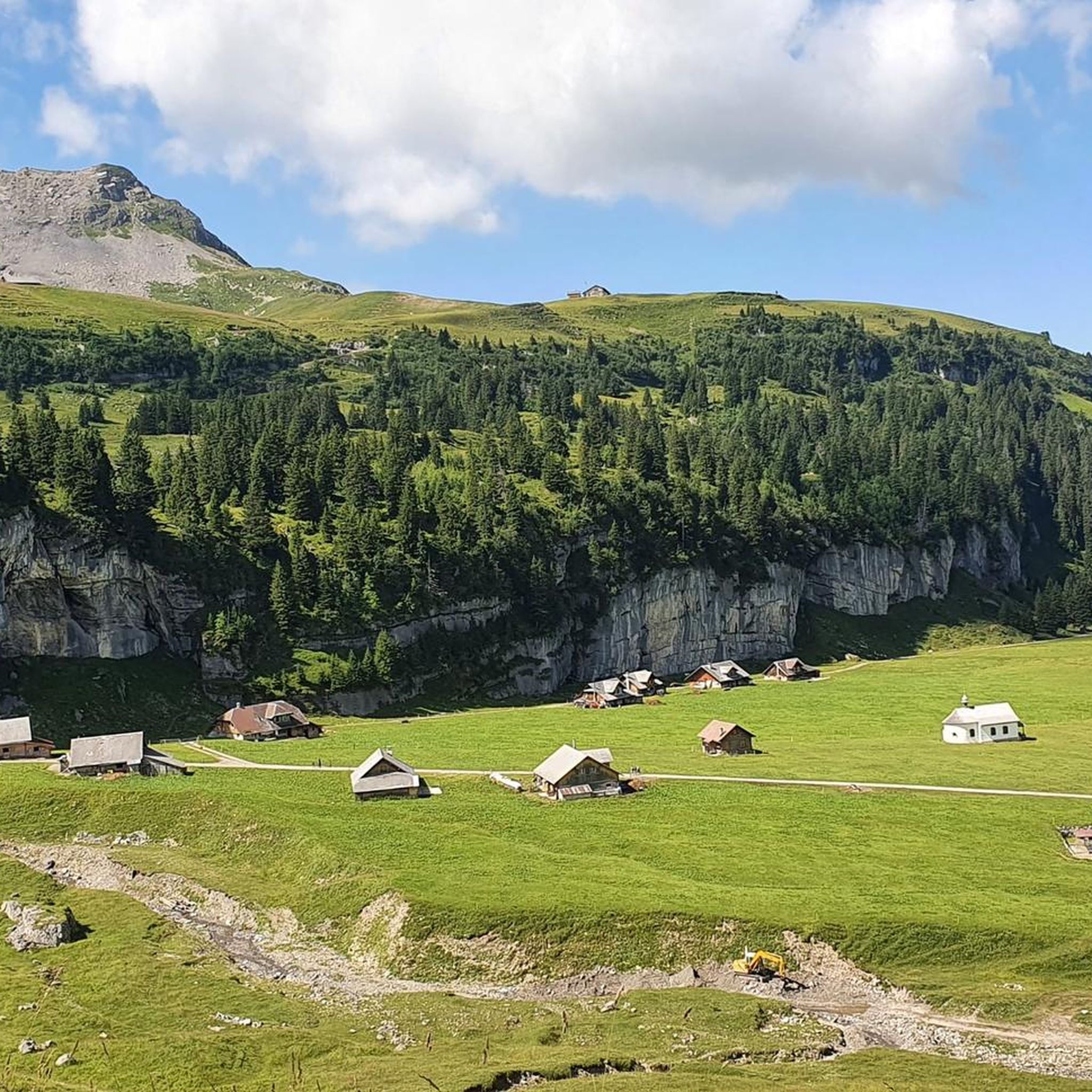
Road Cycling Routes around Sachseln
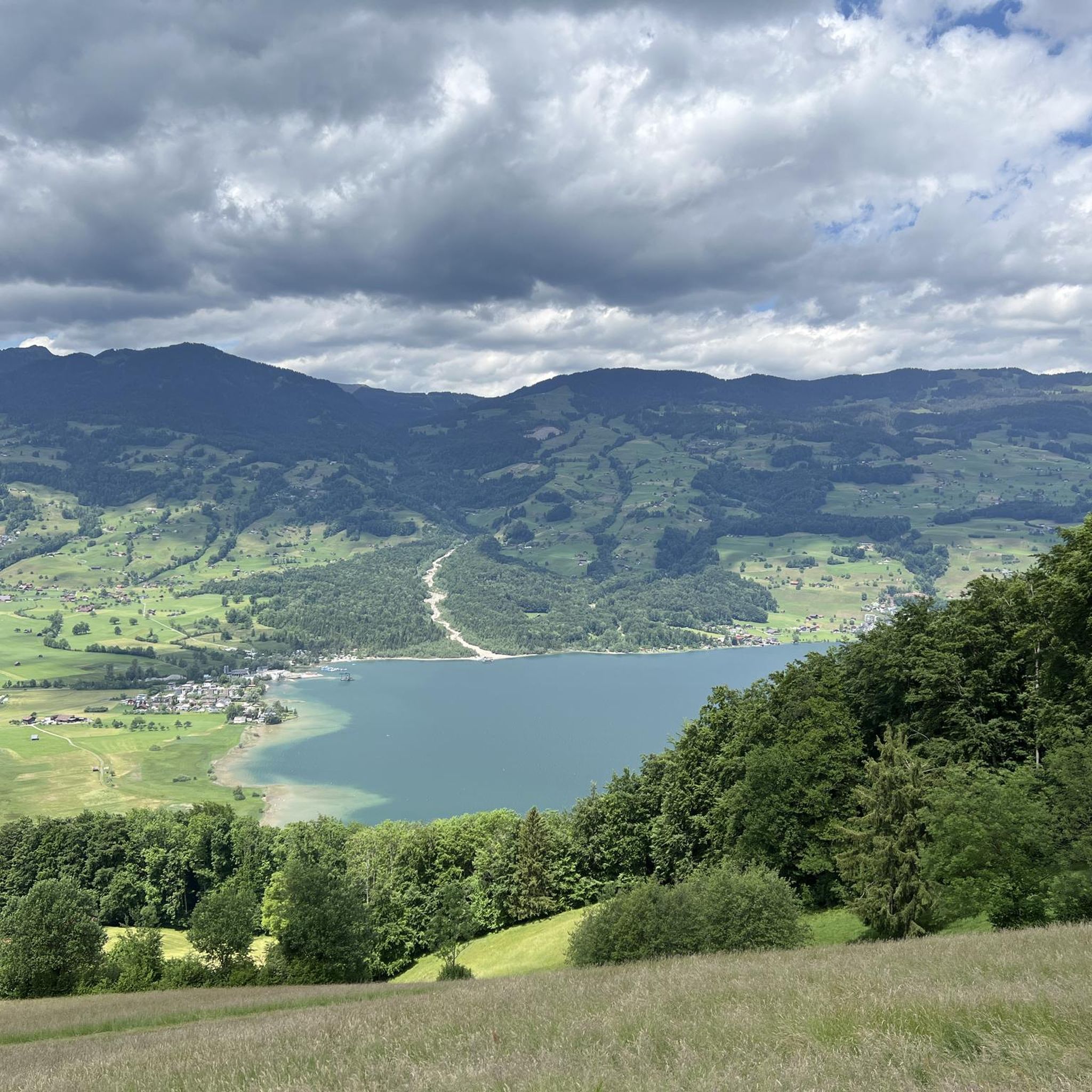
Hiking around Sachseln
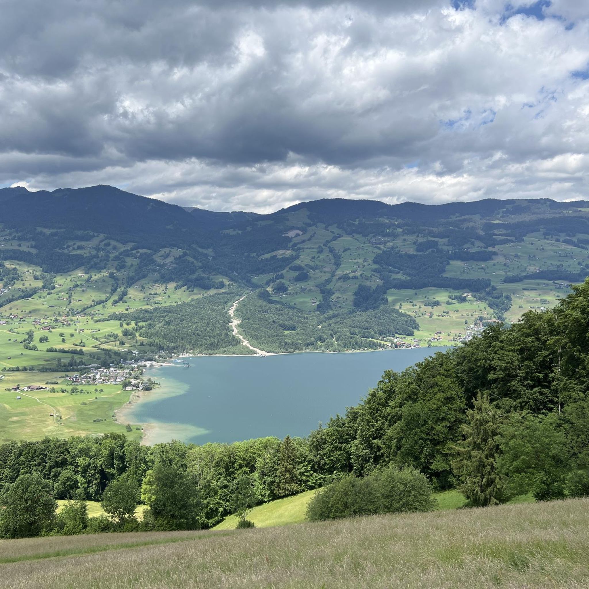
MTB Trails around Sachseln
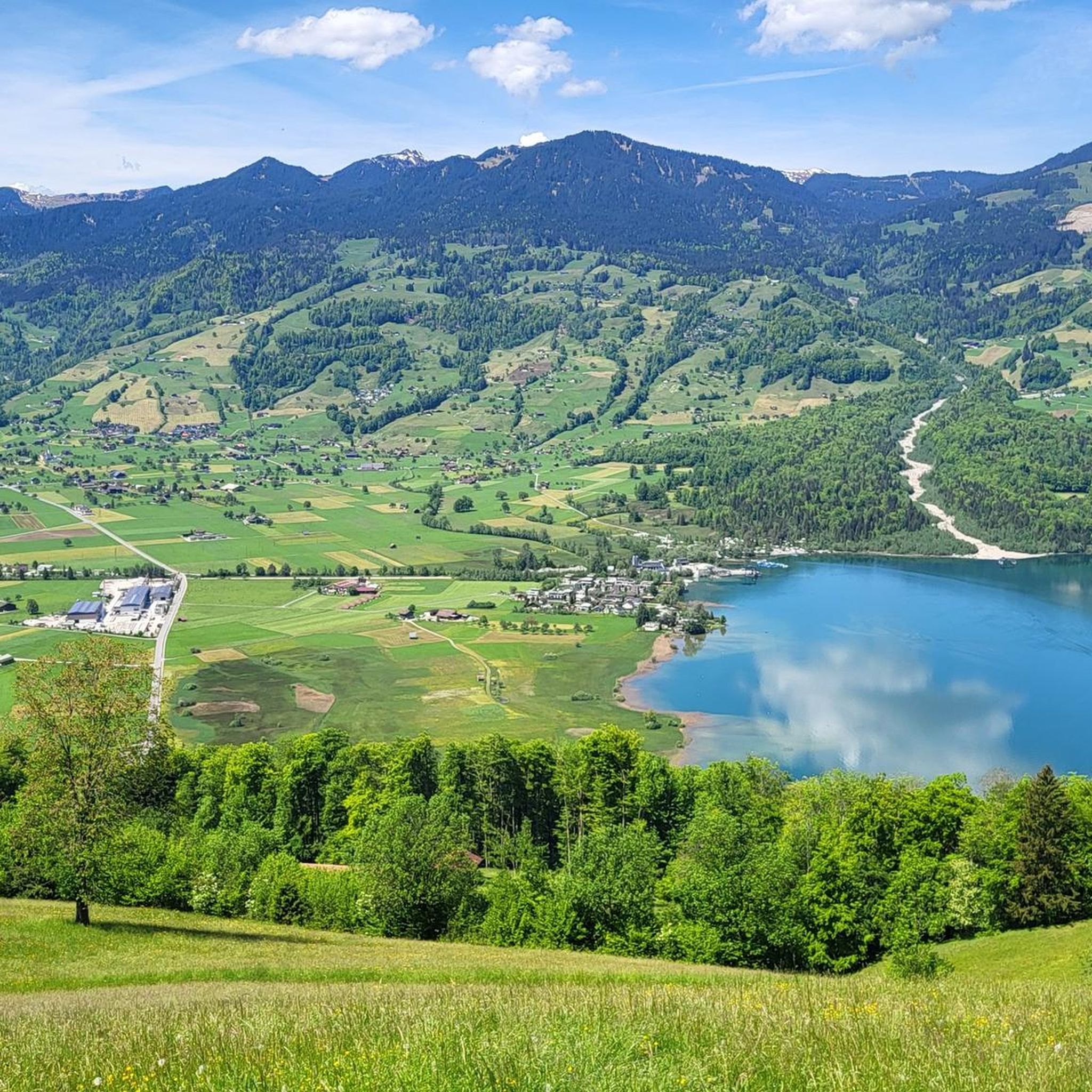
Running Trails around Sachseln
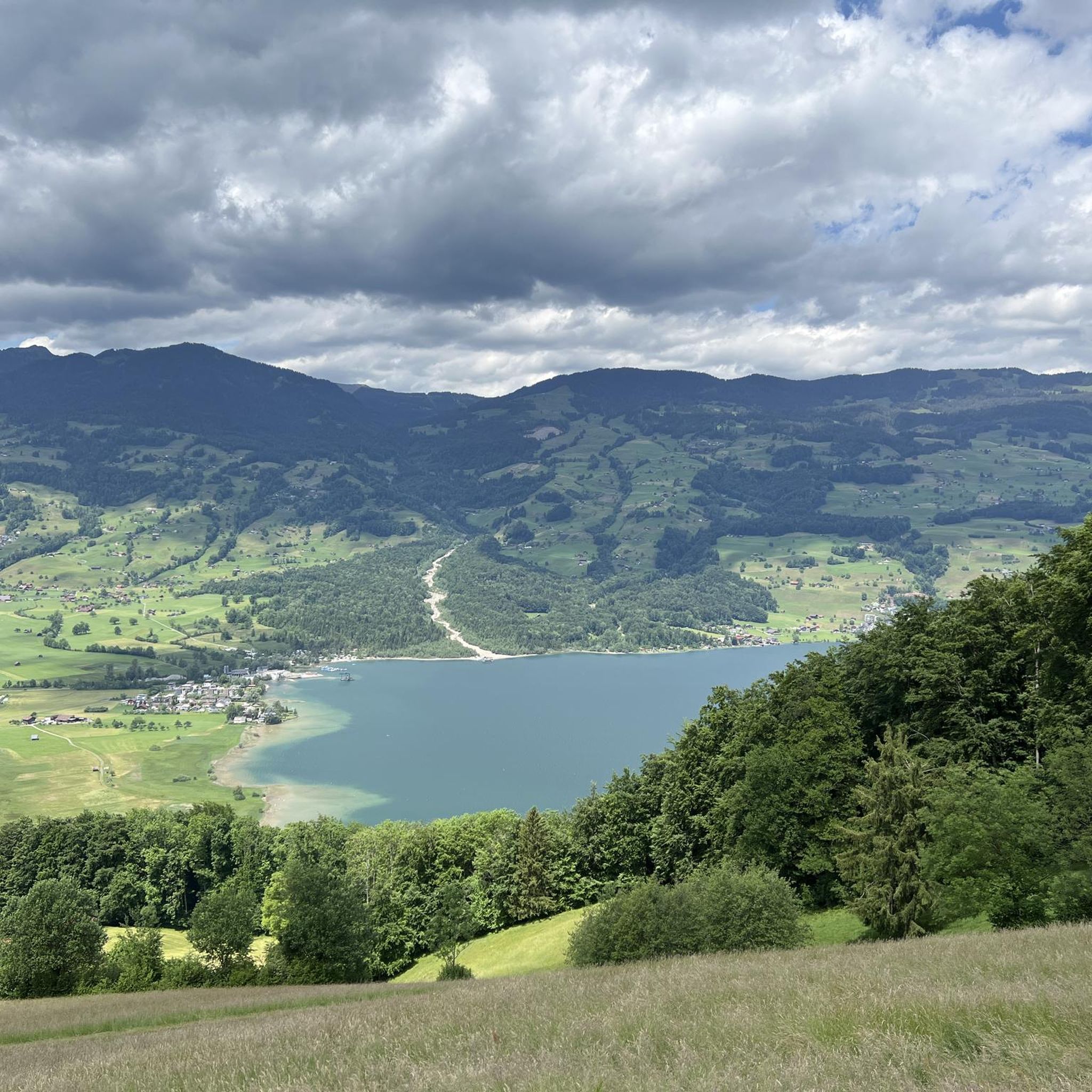
Cycling around Sachseln

Mountain Hikes around Sachseln
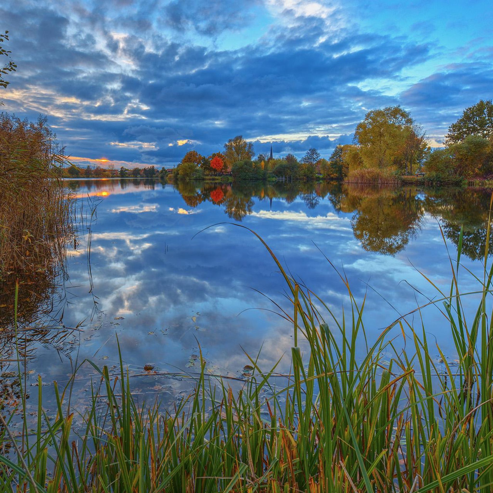
Gravel biking around Sachseln
Other adventures around Sachseln


Tips from the Community

There are also marmots outside the enclosure. They are not afraid at all.
0
0

Brilliant swimming lake and always refreshing as there are hardly any people in the water!
2
0

There is a 2.5 hour hike from Wirzwelli to the Stanserhorn with a fantastic panorama. The Wirzwelli cable car and the Stanserhorn cable cars are free for GA holders!
1
2

The Trüebsee (standard language: Trübsee, e.g. official name of the bus stop/station) is a mountain lake on the Alp Ober Trüebsee at an altitude of 1763 m above sea level in Central Switzerland. It lies between the municipality of Engelberg and the Titlis mountain in the canton of Nidwalden, near the Jochpass (2207 m above sea level). The Ober Trüebsee-Jochpass region within the municipality of Wolfenschiessen is a developed alpine tourist area. https://de.m.wikipedia.org/wiki/Tr%C3%BCebsee
2
0

From the summit plateau you have a fantastic 360-degree view in all directions... the view of Lake Lucerne is amazing
2
0

Trübsee The Trübsee, also Trüebsee, is a mountain lake above Engelberg, located in the municipality of Wolfenschiessen in the canton of Nidwalden. It is situated at an altitude of 1764 meters above sea level between Schafberg and Bitzistock. The small lake lies on a high plateau in the Engelberg Valley between Engelberg and the Titlis or Joch Pass, respectively. It is fed by the Trübseebach stream, which originates from the Titlis Glacier, and flows into the Engelberger Aa via the Trübenbach stream. The maximum depth of the Trübsee is around nine meters. Text / Source: schweizersee.ch https://www.schweizersee.ch/truebsee/
12
1
The pretty Engstlensee shimmers blue-green in the sunlight... Surrounded by fantastic mountains
2
1

Frequently Asked Questions
What unique natural features can I explore around Sachseln?
Beyond the well-known lakes and summits, the region offers distinctive natural features like the Aare Gorge, a deep chasm carved by the Aare River, featuring narrow passages and impressive rock faces. Additionally, the Ranft Gorge in Flüeli-Ranft provides a rugged landscape with steep hills, streams, and forests, creating a mystical atmosphere.
Are there any natural monuments suitable for families with children?
Yes, several natural monuments are family-friendly. The Aare Gorge is particularly suitable, with well-secured footbridges and tunnels making it easy to navigate for all ages. Part of the gorge is even wheelchair accessible from the west entrance. Lake Lungern also offers clear water for swimming and scenic surroundings for relaxed family outings.
What are the best viewpoints to experience the natural beauty of Sachseln?
For breathtaking panoramic views, the Stanserhorn Summit is unparalleled, offering a 360-degree vista of ten Swiss lakes and 100 km of the Alps. From Flüeli-Ranft, you can also enjoy stunning views of Lake Sarnen, especially along the 'Path of Visions' trail.
What kind of hiking opportunities are available near Sachseln's natural monuments?
The region offers diverse hiking experiences. You can explore the serene surroundings of Engstlensee, or take on the 30-minute circular trail at the Stanserhorn Summit for incredible views. For a unique blend of nature and spirituality, the 'Path of Visions' in Flüeli-Ranft is a 3.4 km trail winding through beautiful natural environments. For more challenging routes, consider the mountain hikes available in the area, which you can find in our guide to Mountain Hikes around Sachseln.
Can I visit any natural monuments that have historical or spiritual significance?
Absolutely. The Flüeli-Ranft area, including the Ranft Gorge, holds profound natural and spiritual significance. It is famously associated with Niklaus von Flüe (Brother Klaus), Switzerland's national saint, who lived as a hermit there. The area's rugged landscape and serene nature create a unique, mystical atmosphere, making it a place for reflection and connection to Swiss heritage. You can learn more about this area at obwalden-tourismus.ch.
What are the options for cycling near these natural monuments?
The Sachseln region provides excellent cycling opportunities. You can find various routes, including gravel biking and road cycling, that pass by or offer views of the natural monuments. For detailed routes and difficulty levels, check out our guides for Gravel biking around Sachseln and Road Cycling Routes around Sachseln.
What is the best season to visit the natural monuments around Sachseln?
The natural monuments around Sachseln are beautiful year-round, but the best season depends on your preferred activities. Spring and summer offer lush landscapes, pleasant temperatures for hiking and swimming in lakes like Lake Lungern, and full accessibility to higher-altitude spots like the Stanserhorn Summit. Autumn brings vibrant colors, while winter transforms the scenery into a snowy wonderland, though some areas might be less accessible.
Are there any natural monuments that are considered the geographical center of Switzerland?
Yes, the Aelggialp, located at 1,650 meters above sea level, holds the distinction of being the geographical center of Switzerland. This picturesque alpine idyll offers a unique excursion and hiking destination, allowing visitors to stand at the very heart of the country amidst magnificent countryside.
How accessible are the natural monuments by public transport or car, and is parking available?
Accessibility varies by location. For instance, the Aare Gorge has large car parks at both its main entrances and is served by the Meiringen-Innertkirchen Railway (MIB). For other locations, public transport options like buses or mountain railways often provide access to trailheads or viewpoints. It's advisable to check specific transport links for each monument before your visit.
What do visitors enjoy most about the natural monuments in the Sachseln area?
Visitors frequently praise the stunning panoramic views, especially from spots like the Stanserhorn Summit. The clear, inviting waters of lakes such as Lake Lungern are highly appreciated for swimming and relaxation. The impressive geological formations of places like the Aare Gorge also leave a lasting impression, offering a unique natural experience.
Are there any short or easy hikes to natural monuments around Sachseln?
Yes, for an easy and rewarding experience, the 30-minute circular trail at the Stanserhorn Summit provides incredible 360-degree views without a strenuous climb. The walk through the Aare Gorge is also relatively easy, taking about 1 to 1.5 hours on well-developed paths.
Most popular routes around Sachseln
Most popular attractions around Sachseln

Get inspired with the komoot mobile app


Explore more
Extend your search for the best caves by checking out these guides of the top ones around Sachseln:
