Top 16 Mountain Passes around St Ulrich am Pillersee
Mountain passes around St Ulrich am Pillersee are situated within the PillerseeTal valley, offering access to notable mountain routes. The region is located between the Loferer Steinberge and the Kitzbühel Alps, providing a backdrop for outdoor activities. This area features transitional routes and panoramic mountain experiences.
Best mountain passes around St Ulrich am Pillersee
- The most popular mountain passes is Kitzbüheler Horn near Kitzbühel, Tyrol, a summit that is regarded as the steepest mountain bike route in Austria and…
Last updated: August 31, 2026
Kitzbüheler Horn near Kitzbühel, Tyrol
Highlight • Summit
Translated by Google •
Tip by

View of the Loferer Steinberge
Highlight • Viewpoint
Translated by Google •
Tip by

Sign up now to discover places like this
Get recommendations on the best single tracks, peaks, & plenty of other exciting outdoor places.
Sign up for free
Kitzbüheler Horn Climb
Highlight (Segment) • Climb
Translated by Google •
Tip by

Hintertal, from Weißbach to Hirschbichl
Highlight (Segment) • Mountain Pass
The route to the top of the pass …
Translated by Google •
Tip by

View of the Leoganger Steinberge
Highlight • Viewpoint
Translated by Google •
Tip by

Sign up for free to discover even more mountain passes around St Ulrich am Pillersee.
Sign up for free
Already have an account?
Start today with a free account
Your next adventure awaits.
Login or Signup
Popular around Sankt Ulrich am Pillersee
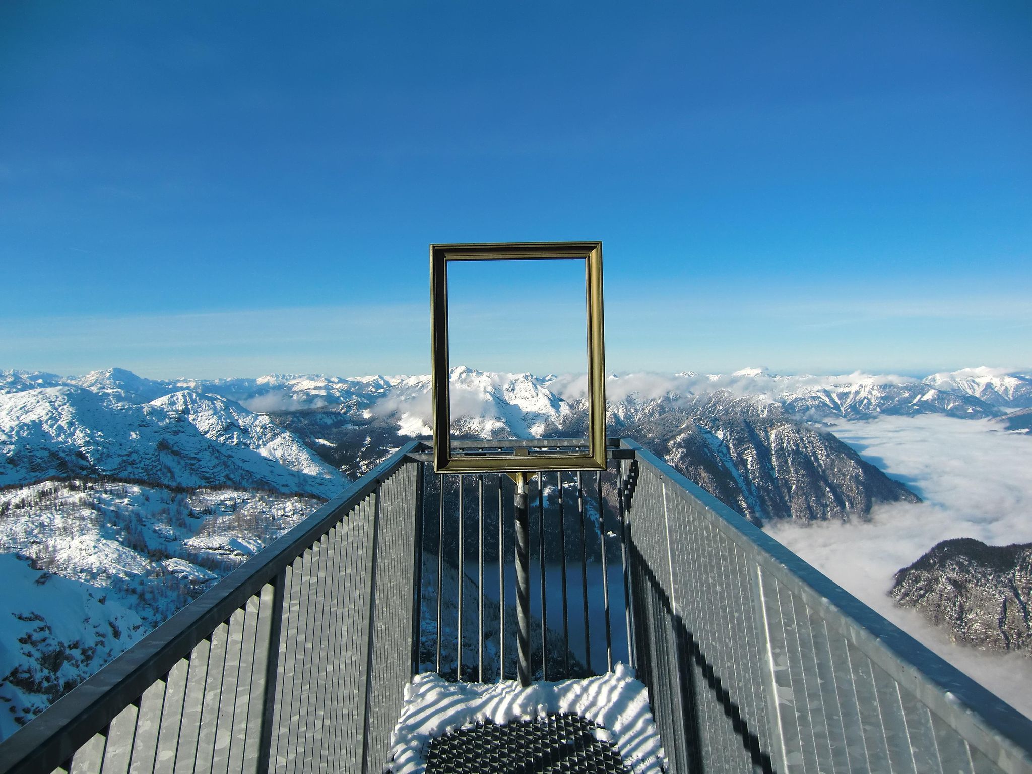
#Winterlove — 14 tips for your winter adventure in Austria
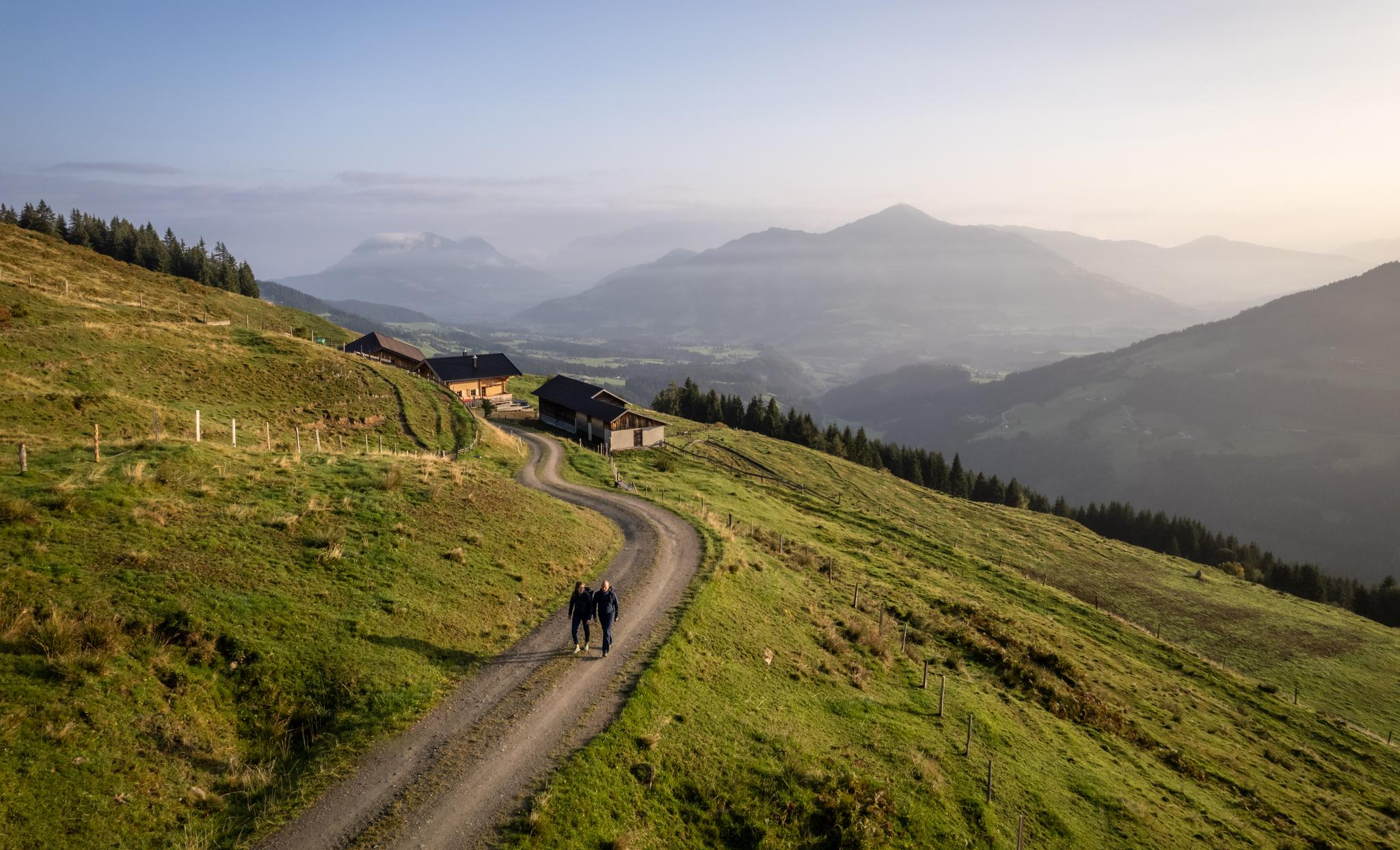
Varied and vibrant hiking in the Kitzbühel Alps
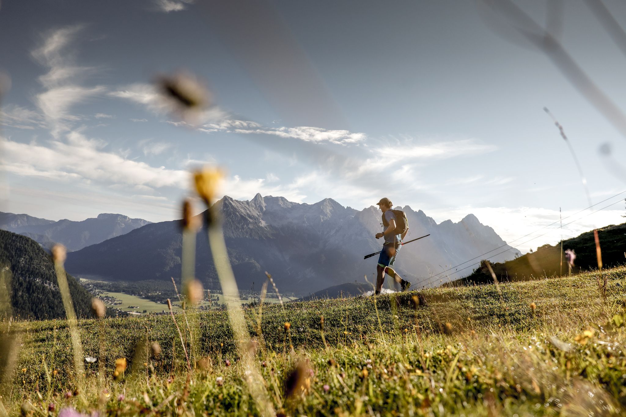
Trail runners' paradise – explore the PillerseeTal at running pace
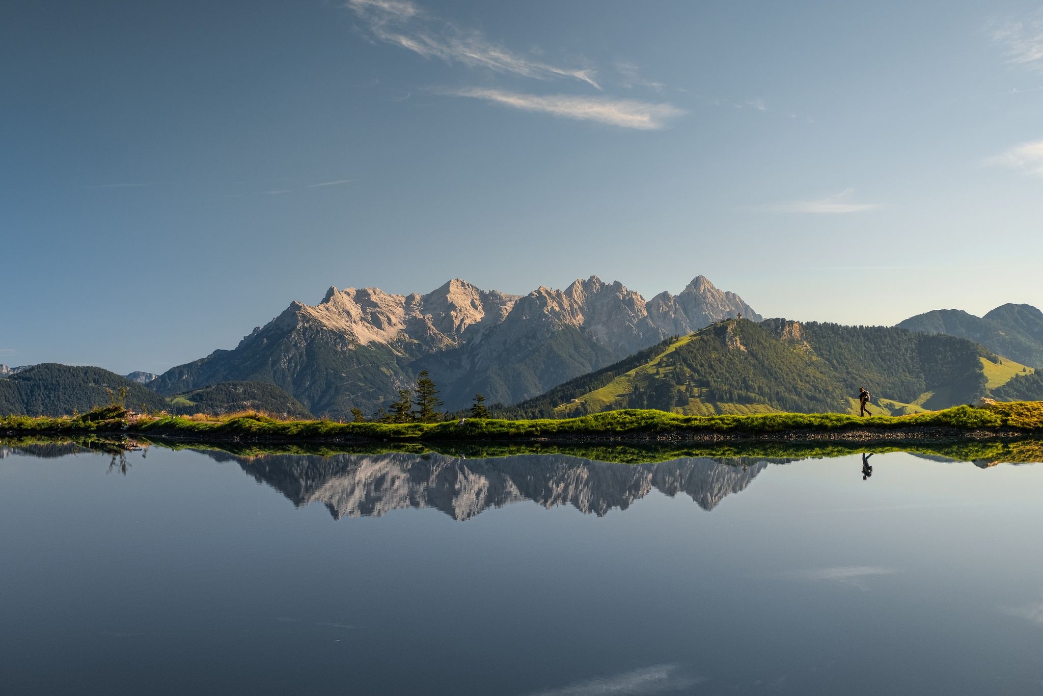
Five water-rich hiking Tours in Austria’s PillerseeTal
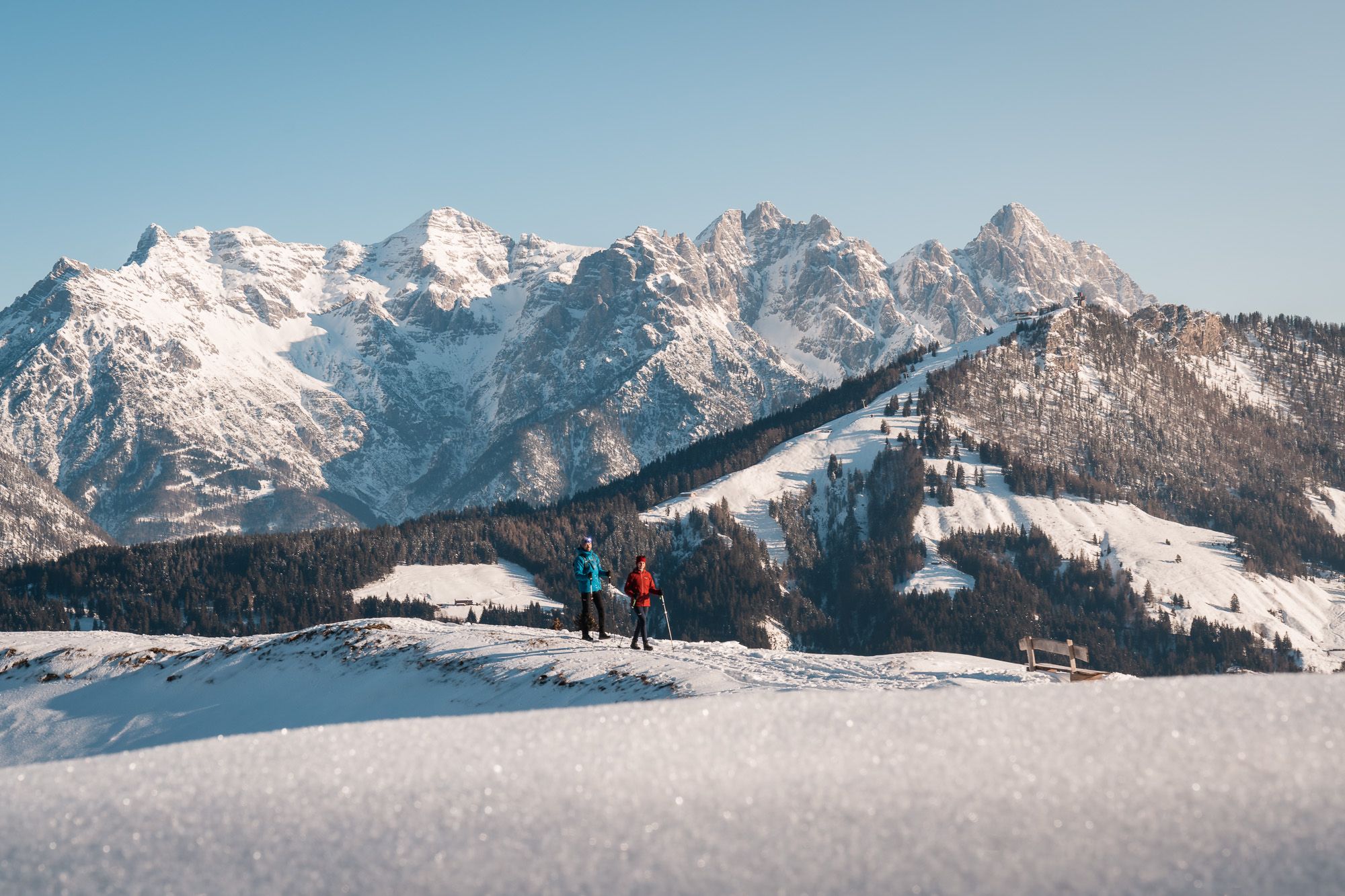
Austria’s Pillersee Valley – hiking in Tyrol’s snowiest region
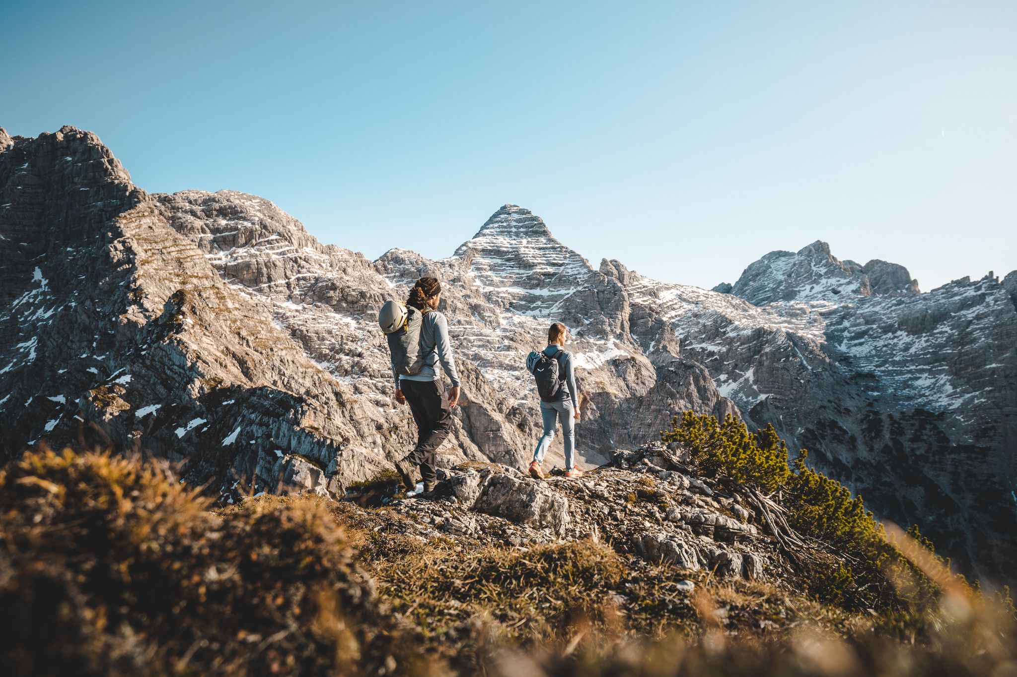
Dreamy mountain adventures – a short trip in the Austrian Lofer Mountains
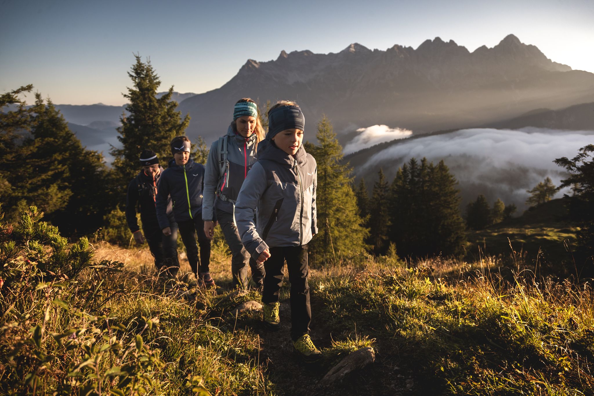
A sustainable family holiday – autumn in PillerseeTal
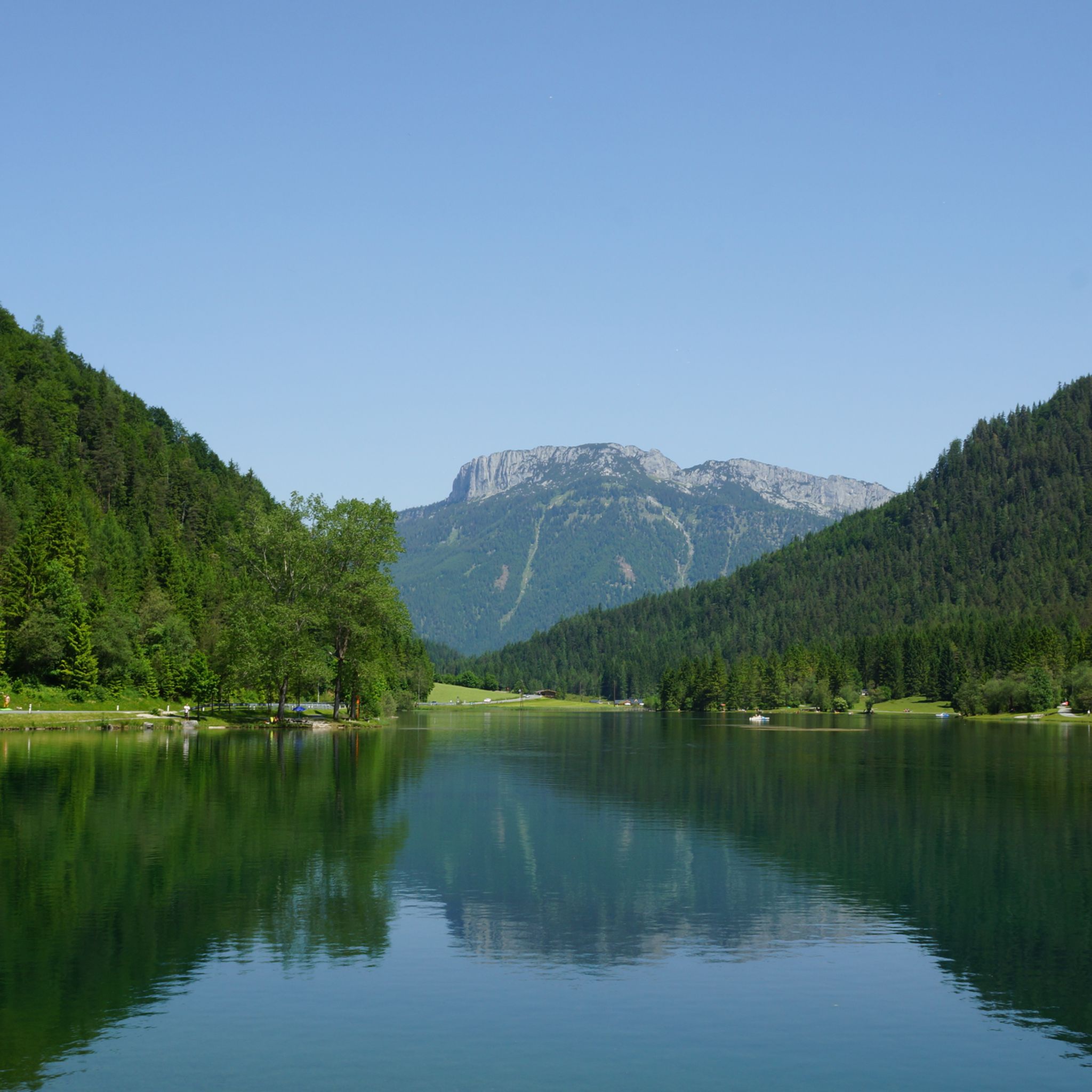
Hiking around St Ulrich am Pillersee
Road Cycling Routes around St Ulrich am Pillersee
MTB Trails around St Ulrich am Pillersee
Other adventures around St Ulrich am Pillersee


Tips from the Community

beautiful view of the mountains
0
0

A beautiful route with great challenges. We drove the route from Berchtesgaden to Weißenbach. A large hiking bus drives from Berchtesgaden to the top of the pass. We had to stop when it came towards us from the top of the pass. We managed to get going again up the mountain, 😅but it's not that easy when you're travelling with luggage. Our bikes with e-assistance and large mountain sprockets helped us. I didn't put my brakes through the small section with a 30% gradient, so I pushed the short section.
1
0

Great view of the Steinberge
0
0

magnificent mountain panorama of the 2500m
1
0

An absolutely fantastic bike climb and a classic in the area. Quite steep with ramps over 20%. You MUST do it once in your life.
2
0

The Loferer Steinberge always offers a beautiful view.
2
0

Below is a poster: "Austria's steepest mountain bike". That says it all. There is actually no passage to recovery. It only goes up.
2
0

If you follow the way back from the Seisenbergklamm, you come to this place with a beautiful view.
1
1
Frequently Asked Questions
What are some notable mountain passes and areas to explore near Sankt Ulrich am Pillersee?
Beyond the popular highlights, the region offers diverse experiences. The Strub Pass, a historic valley pass, connects Salzburg and Tyrol and is known for its scenic route and historical fortifications. The Waidringer Steinplatte, accessible via a high-altitude road and cable cars, provides panoramic views and is home to the unique Triassic Park. Additionally, the Buchensteinwand, with its iconic Jakobskreuz, offers stunning 360-degree vistas of the surrounding Alps.
Are there family-friendly mountain experiences around Sankt Ulrich am Pillersee?
Yes, several options are great for families. The Waidringer Steinplatte features the Triassic Park, an interactive dinosaur and geology theme park. The Buchensteinwand, with the Jakobskreuz, is easily accessible via a chairlift and offers family-friendly hiking trails. The Kitzbüheler Horn near Kitzbühel, Tyrol is also listed as family-friendly and offers wonderful hikes from the mountain station, including an alpine flower garden.
What kind of natural features and viewpoints can I expect to see?
The region is rich in natural beauty. From the Buchensteinwand and its Jakobskreuz, you can enjoy panoramic views of the Wilder Kaiser, Loferer and Leoganger Steinberge, and the Kitzbüheler Horn. The Waidringer Steinplatte also offers impressive vistas of the Kitzbühel Alps and, on clear days, even the Großglockner. The Loferer Steinberge themselves are a natural monument with impressive mountain panoramas, accessible even on rainy days.
What historical significance do the mountain passes in this region hold?
The Strub Pass is particularly notable for its historical importance. It was a heavily contested site during the Napoleonic Wars in 1805 and 1809, with remnants of fortifications, a guardhouse, and a memorial monument still standing today. The original St. George's Chapel, destroyed in 1809, was rebuilt in 1830, making it an interesting stop for history enthusiasts.
What outdoor activities are popular near the mountain passes around Sankt Ulrich am Pillersee?
The area is ideal for various outdoor activities. You can find numerous options for running, mountain hiking, and general hiking. For example, there are running trails like the 'Pillersee loop from St. Ulrich am Pillersee' and mountain hikes such as the 'View from Ulrichshorn Summit – Heimkehrerkreuz loop'. Many hiking routes, like the 'Adolari Round', are also available. You can explore these and more on the respective guide pages: Running Trails around St Ulrich am Pillersee, Mountain Hikes around St Ulrich am Pillersee, and Hiking around St Ulrich am Pillersee.
Are there challenging routes for experienced cyclists or hikers?
Absolutely. The Kitzbüheler Horn Climb is a very challenging road bike route known for its many vertical meters and steep ramps, offering a physically demanding experience. For mountain bikers, the Kitzbüheler Horn near Kitzbühel, Tyrol is regarded as the steepest mountain bike route in Austria. The section from Weißbach to Hirschbichl through the Hintertal also presents significant challenges with gradients up to 30%.
What is the best time of year to visit the mountain passes around Sankt Ulrich am Pillersee?
The best time to visit depends on your preferred activities. Summer (late spring to early autumn) is ideal for hiking, mountain biking, and enjoying the panoramic views and family attractions like Triassic Park. Winter transforms the Waidringer Steinplatte into a popular ski area. For cycling, the warmer months offer the best conditions, though some passes might have seasonal closures or require specific gear.
Can I bring my dog on trails near the mountain passes?
While specific rules for every trail vary, many outdoor areas in the PillerseeTal region are dog-friendly. It's generally advisable to keep dogs on a leash, especially in nature protection areas or near grazing livestock. Always check local signage or specific trail guidelines before heading out with your pet.
Are there options for public transport to access these mountain passes?
Access to some areas, like the Buchensteinwand, is facilitated by a four-seater chairlift directly from St. Ulrich am Pillersee. For the Waidringer Steinplatte, cable cars provide access to the high-alpine area. While specific public transport routes to every pass might vary, regional bus services often connect villages, and some areas might have dedicated hiking buses during peak seasons. It's recommended to check local transport schedules for the most up-to-date information.
What do visitors enjoy most about the mountain passes in this region?
Visitors frequently praise the breathtaking panoramic views, especially from spots like the Kitzbüheler Horn near Kitzbühel, Tyrol and the Jakobskreuz on the Buchensteinwand. The challenging nature of routes like the Kitzbüheler Horn Climb is also a highlight for many, offering both scenic beauty and physical reward. The impressive mountain panoramas of the Loferer Steinberge are also highly appreciated.
Are there places to eat or drink near the mountain passes?
Yes, you'll find options for refreshments. On the Buchensteinwand, there are cozy Alpine inns offering food and drinks. The Waidringer Steinplatte also has facilities, especially within the ski area during winter and near the Triassic Park. For other passes or trails, it's always a good idea to check in advance or pack your own provisions, especially for longer hikes or remote areas.
What is the terrain like on the mountain passes around Sankt Ulrich am Pillersee?
The terrain varies significantly. The Strub Pass is a valley pass, traversed by a well-developed road (B178) through a narrow gorge. The Waidringer Steinplatte involves a high-altitude road and alpine terrain accessible by cable car, offering a mix of paved paths and mountain trails. The Kitzbüheler Horn near Kitzbühel, Tyrol and Kitzbüheler Horn Climb feature very steep roads and trails, while the Hintertal route includes challenging sections with gradients up to 30%.
Most popular routes around St Ulrich am Pillersee
Most popular attractions around St Ulrich am Pillersee

Get inspired with the komoot mobile app


Explore more
See even more epic mountain passes by checking out these guides around St Ulrich am Pillersee:
