Top 7 Mountain Passes around Traunkirchen
Mountain passes around Traunkirchen are situated in a region defined by Lake Traunsee and surrounding mountains. This area features elevated routes and peaks that provide panoramic views of the Salzkammergut landscape. These routes serve to connect different areas, offering diverse hiking experiences for outdoor enthusiasts. The terrain includes both accessible trails and more challenging paths.
Best mountain passes around Traunkirchen
- The most popular mountain pass is View of Vordere Langbathsee and Höllengebirge, a viewpoint that offers views of the…
Last updated: October 11, 2026
Gmundnerberg–Grasberg Junction
Highlight • Mountain Pass
Translated by Google •
Tip by

Großalmhöhe Pass
Highlight • Mountain Pass
More information: quaeldich.de/paesse/grossalmhoehe
Translated by Google •
Tip by

Sign up now to discover places like this
Get recommendations on the best single tracks, peaks, & plenty of other exciting outdoor places.
Durchgang Pass – Alm–Traun Watershed (1,158 m)
Highlight • Mountain Pass
According to the information on the beautiful and …
Translated by Google •
Tip by
View of Vordere Langbathsee and Höllengebirge
Highlight • Viewpoint
Translated by Google •
Tip by

View of the Höllengebirge
Highlight • Viewpoint
Translated by Google •
Tip by

Sign up for free to discover even more mountain passes around Traunkirchen.
Already have an account?
Start today with a free account
Your next adventure awaits.

Tips from the Community

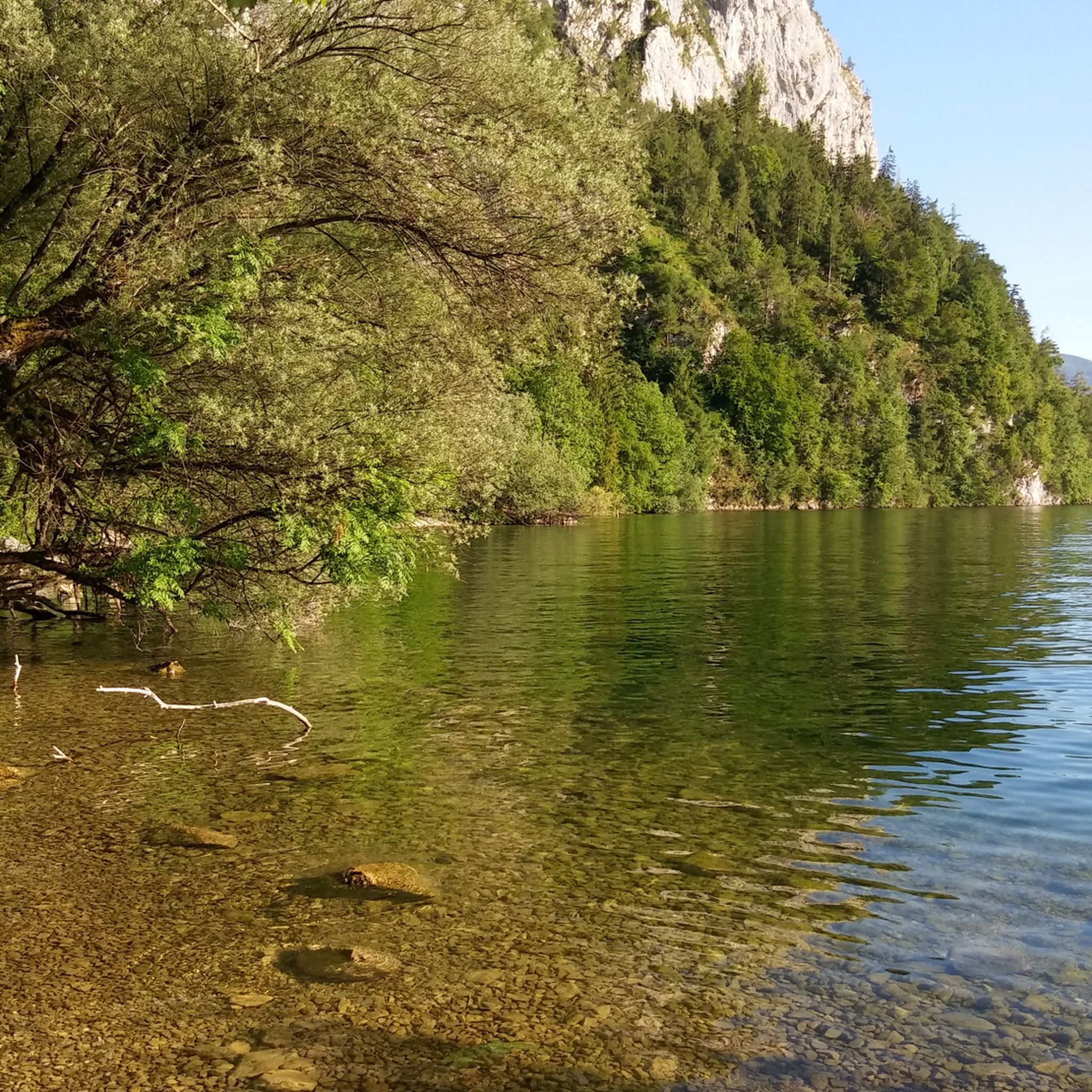
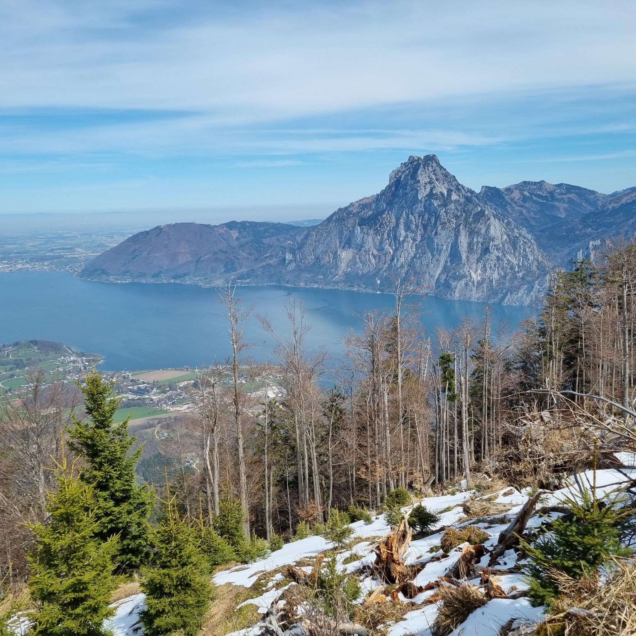
beautiful view from the lake into the Höllengebirge
0
0

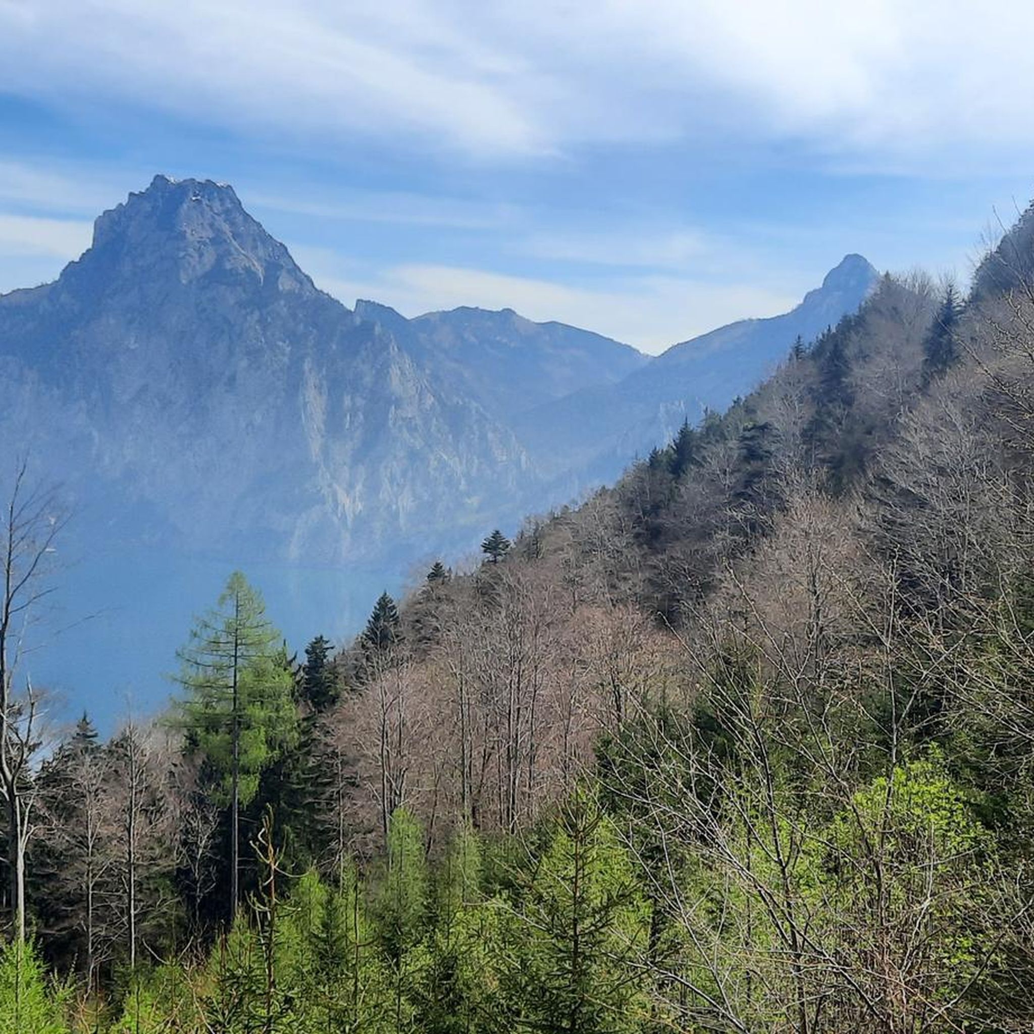
Beautiful mountains, as you approach, the trail becomes more technical, up to 1000m mainly forests and forest roads
0
0

The Gmundnerberg Grasberg intersection is a point where two roads that lead to the mountains of the same name meet. The road to Gmundnerberg is a paved mountain road that leads to several inns, an observatory, a therapy center and a lookout point with a panoramic view of Lake Traunsee and the surrounding mountains. The road to Grasberg is a narrow gravel road that leads to a meadow-rich hill with a few farms and a small summit cross. The crossing is at an altitude of around 600 meters and can be reached from Altmünster. From the intersection you have a beautiful view of the Pinsdorfberg, a wooded foothill of the Gmundnerberg, on which there is a marl quarry. The intersection is a good starting point for hiking or cycling tours to the two mountains.
1
0
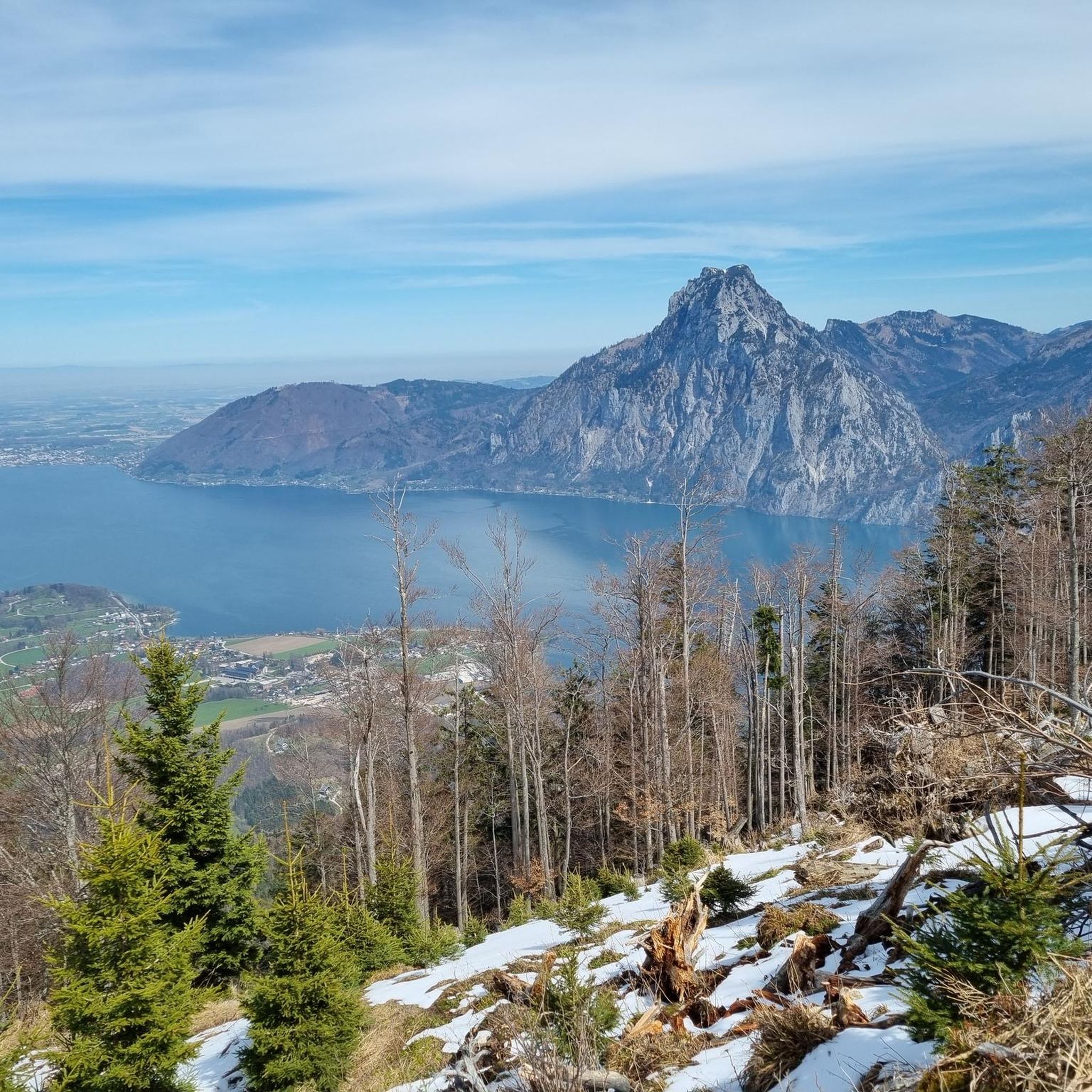
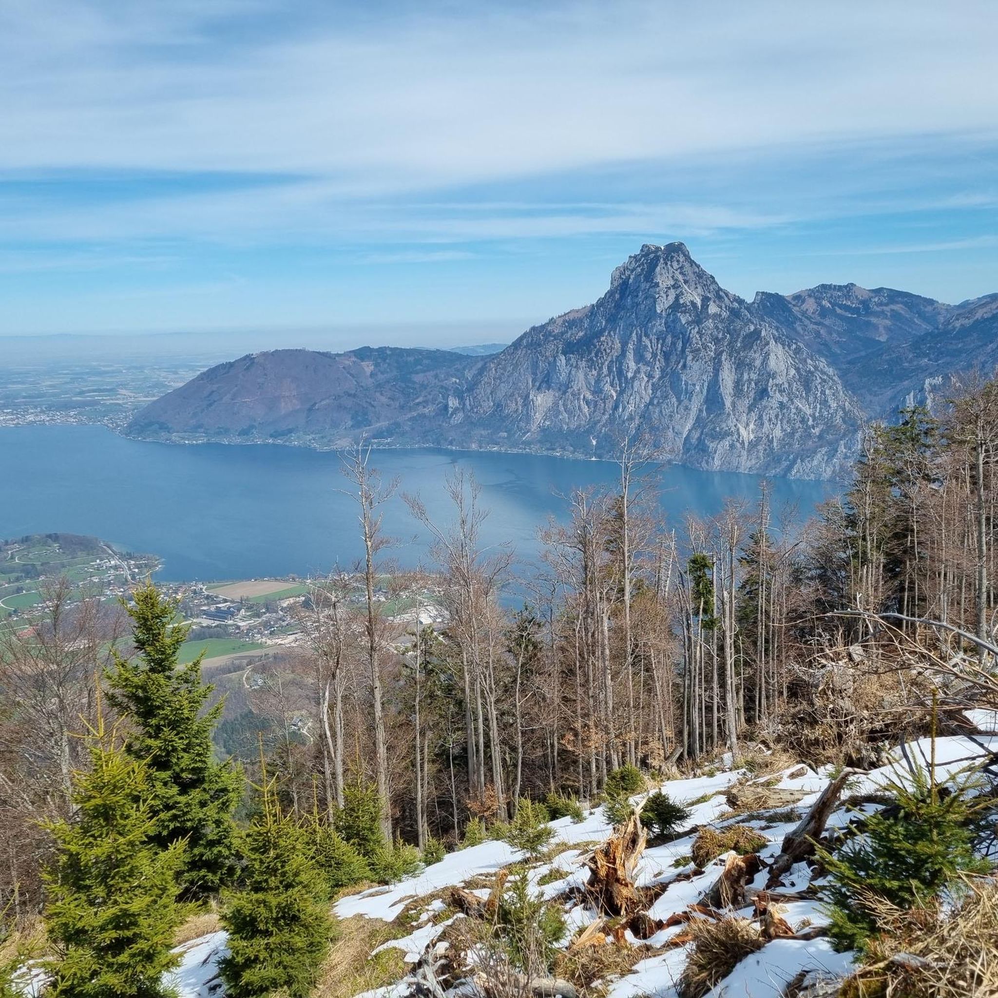
The Höllengebirge lies at the southern end of Lake Attersee and extends to Lake Traunsee. The highest peak in the Höllengebirge is the Großer Höllkogel at 1,862m. Other peaks in the Höllengebirge are the Brunnkogel, the Hochleckenkogel, the Brennerin, the Feuerkogel and the Schoberstein.
4
0

View of the Vordere Langbathsee
2
0

Small pass Großalmhöhe (840 m), between Traunsee and Attersee am Höllengebirge. More information: https://www.quaeldich.de/paesse/grossalmhoehe/
0
0

From here you can go over to the Traunsee via the Mairalm or down to Grünau or to the Hauergraben car park. According to the information on the beautiful and detailed signposts, the watershed between the Traun and Alm ... everything runs into the Black Sea.
1
0

From the promising forest road you have a great view towards the Höllengebirge. This mountain range extends from the shores of Lake Attersee to the shores of neighboring Traunsee.
1
0
Frequently Asked Questions
What are some notable mountain passes and elevated points around Traunkirchen?
The Traunkirchen area, defined by Lake Traunsee and surrounding mountains, features several elevated routes and peaks. Notable mountain passes include Durchgang Pass – Alm–Traun Watershed (1,158 m), which is also a summit, and Großalmhöhe Pass, connecting areas between Traunsee and Attersee. For elevated points offering stunning views, the Kleiner and Großer Sonnstein peaks are very popular, as is Feuerkogel, which is accessible by cable car.
Which mountain passes and elevated points offer the best panoramic views of Lake Traunsee?
For unparalleled panoramic views of Lake Traunsee, the Kleiner Sonnstein is highly recommended. The Großer Sonnstein also provides excellent vistas back towards Kleiner Sonnstein and Traunstein. The Geißwand and Baalstein peaks offer magnificent views over the lake, often with more tranquility. Additionally, Feuerkogel, accessible by cable car, provides an impressive high-altitude view of the entire Traunsee and the Salzkammergut.
Are there easy mountain passes or elevated routes suitable for beginners in Traunkirchen?
Yes, there are options for beginners. The hike to Kleiner Sonnstein is relatively short and considered a good starting point for exploring the area. Feuerkogel is easily accessible by cable car, allowing visitors to enjoy high-alpine views without a strenuous climb. The Gmundnerberg–Grasberg Junction area also offers more accessible paths.
What are some more challenging mountain experiences around Traunkirchen?
For those seeking a challenge, the path to Großer Sonnstein includes sections under rocks and a choice between an easier option and a short, secured climbing section. The 'quartet of summits' including Hohenaugupf, Falmbachgupf, Lärlkogel, and Hochstein offers a more demanding circular route with some pathless sections, requiring good fitness and sure-footedness. The Durchgang Pass – Alm–Traun Watershed (1,158 m) is also an intermediate to challenging summit.
When is the best time to visit the mountain passes and elevated points near Traunkirchen?
Many of the elevated points and mountain passes, such as the Sonnstein peaks, can be climbed almost year-round, except during heavy snow. Generally, late spring to early autumn (May to October) offers the most favorable weather conditions for hiking and enjoying the views. During these months, mountain huts like the Sonnsteinhütte are also typically open.
Are there family-friendly hiking options near Traunkirchen's mountain passes?
While specific 'family-friendly' categories aren't always assigned to mountain passes, the Kleiner Sonnstein hike is relatively short and manageable for families. The Feuerkogel cable car provides an excellent way for families to reach high-altitude views without extensive hiking. Always check the specific trail conditions and difficulty before heading out with children.
What kind of outdoor activities can I do near Traunkirchen's mountain passes?
Beyond exploring the mountain passes themselves, the Traunkirchen area offers a variety of outdoor activities. You can find numerous mountain hikes, including routes like the Kleiner Sonnstein summit cross loop or the Geißwand Summit loop. For cycling enthusiasts, there are gravel biking routes such as the Ort Castle loop, and challenging MTB trails like the Richtberg Mountain Bike Route. You can find more details on these activities in the Mountain Hikes around Traunkirchen, Gravel biking around Traunkirchen, and MTB Trails around Traunkirchen guides.
Are there any less crowded mountain experiences around Traunkirchen?
For hikers who appreciate tranquility and equally spectacular views without the crowds, Geißwand and Baalstein are excellent choices. These peaks are less known than the Sonnsteins, offering peace and seclusion. The 'quartet of summits' (Hohenaugupf, Falmbachgupf, Lärlkogel, and Hochstein) also provides a more secluded and challenging experience, allowing for a deep immersion into the natural landscape away from more frequented trails.
What natural features can I expect to see when visiting the mountain passes?
Visitors can expect to see breathtaking views of Lake Traunsee, the surrounding Salzkammergut landscape, and prominent peaks like Traunstein and the Höllengebirge. Many routes traverse mountain forests, open terrain, and offer glimpses of other lakes such as Vordere Langbathsee. The region is characterized by classic alpine scenery and diverse natural beauty.
How accessible are the mountain passes around Traunkirchen by public transport or car?
Many starting points for hikes to the elevated points are accessible. For instance, the Feuerkogel is easily reached via a cable car. While specific public transport details for every pass vary, the region is generally well-connected, and many trailheads are reachable by car, often with designated parking areas. It's advisable to check local transport schedules and parking availability for your chosen route.
What do visitors enjoy most about the mountain passes and elevated points in Traunkirchen?
Visitors consistently praise the unparalleled panoramic views of Lake Traunsee and the Salzkammergut region. The diverse trails, ranging from easy to challenging, cater to various fitness levels. The opportunity for both popular, well-maintained routes and more solitary, wilderness experiences is also highly valued. The combination of stunning natural beauty and rewarding outdoor activity makes the area a favorite among outdoor enthusiasts.
Most popular routes around Traunkirchen
Most popular attractions around Traunkirchen

Get inspired with the komoot mobile app


Explore more
See even more epic mountain passes by checking out these guides around Traunkirchen:
