Top 20 Natural Monuments around Gumpoldskirchen
Best natural monuments around Gumpoldskirchen are situated on the eastern edge of the Vienna Woods, bordering the Föhrenberge Nature Park. This region is characterized by its unique natural elements, including extensive forests of Austrian Black Pines and significant dry grasslands. The landscape offers diverse ecosystems and geological features, providing opportunities for outdoor exploration. It serves as a natural gateway to the larger Vienna Woods area, known for its varied topography.
Best natural monuments around Gumpoldskirchen
- The most popular natural monuments…
Last updated: October 10, 2026
Breite Föhre Rest Area
Highlight • Rest Area
Breite Föhre was a popular excursion destination on the slopes of the Anninger near Mödling, from which there is a wide view down to the …
Translated by Google •
Tip by

On Harzberg
Highlight • Viewpoint
Refuge with the sun terrace and the wonderful view is awesome.
Then the visit to …
Translated by Google •
Tip by

Sign up now to discover places like this
Get recommendations on the best single tracks, peaks, & plenty of other exciting outdoor places.
Liechtenstein Castle
Highlight • Castle
Translated by Google •
Tip by

Confluence of the Triesting and the Schwechat rivers
Highlight • River
Translated by Google •
Tip by

Matterhörndl
Highlight • Natural Monument
Translated by Google •
Tip by

Sign up for free to discover even more natural monuments around Gumpoldskirchen.
Already have an account?
Start today with a free account
Your next adventure awaits.
Popular around Gumpoldskirchen
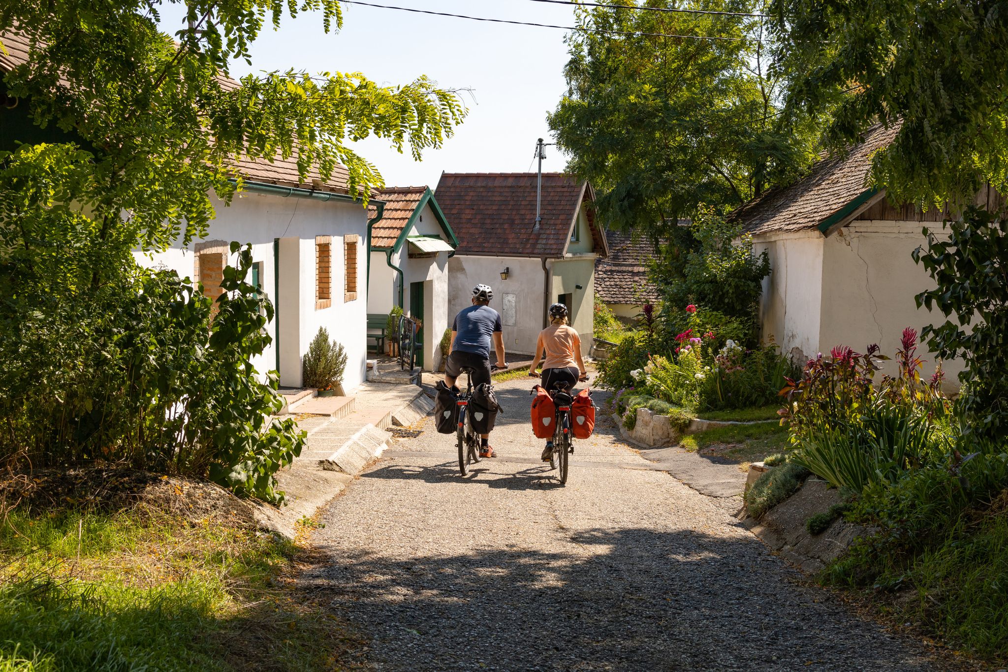
The most beautiful bike discovery Tours in Lower Austria
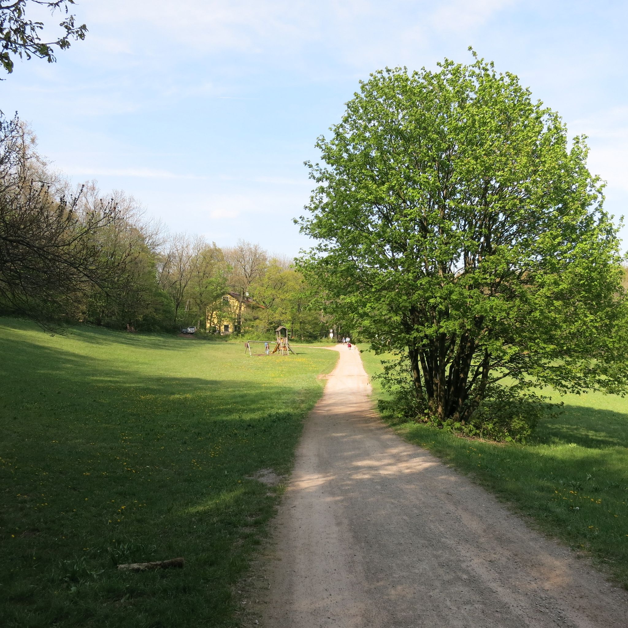
Hiking around Gumpoldskirchen
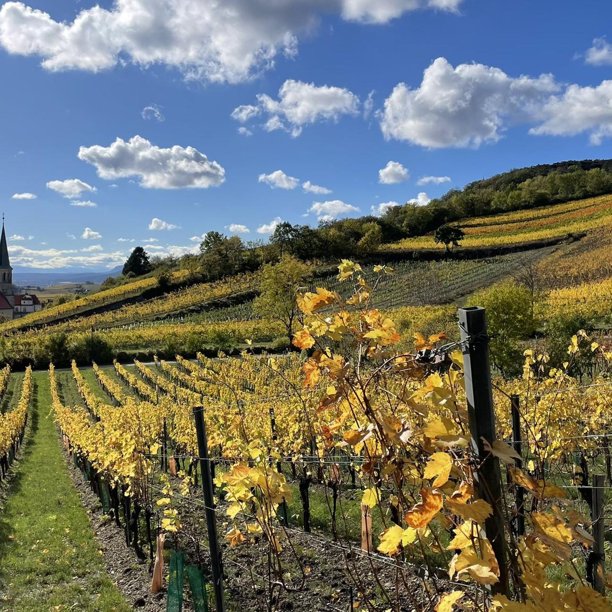
Road Cycling Routes around Gumpoldskirchen
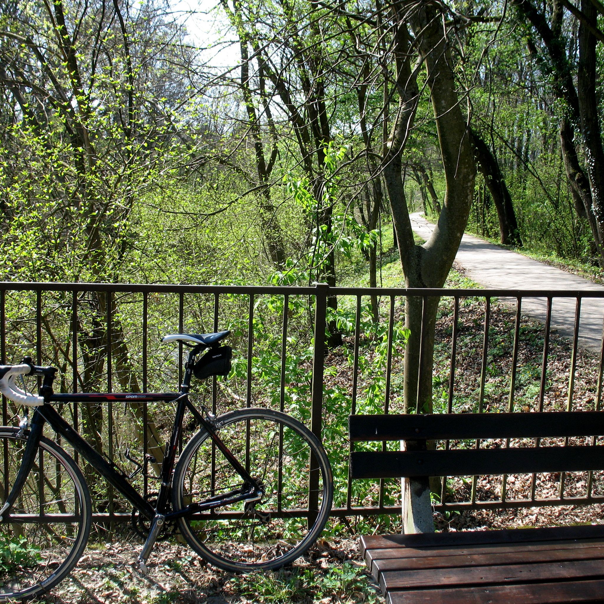
Cycling around Gumpoldskirchen
Running Trails around Gumpoldskirchen
MTB Trails around Gumpoldskirchen
Gravel biking around Gumpoldskirchen
Mountain Hikes around Gumpoldskirchen
Other adventures around Gumpoldskirchen

Tips from the Community


Great place for a short rest.
1
0

The Matterhörndl is a small but impressive rock in the Vienna Woods that is perfect for a short rest. It is a little hidden away from the main path and easy to miss, but it is worth the visit. With a small opening through and the opportunity to climb around a bit, it is a mystical place for photographers, children and nature lovers. I visited this mountain as part of my Dwarf Mountain Tours series. My goal is to climb every mountain in the Vienna Woods. Find my tours here: https://www.komoot.com/de-de/collection/2517195/-zwergbergtouren-im-wienerwald
7
1

The Triesting - Schwechat estuary is the place where the Triesting flows into the Schwechat. The Triesting is a river in the southeastern Vienna Woods, which rises near Kaumberg and is 60 km long. The Schwechat is a tributary of the Danube that rises near Schottwien and is 62 km long. The estuary is near Achau in the Mödling district and is a popular resting place for cyclists. You can reach the estuary on various cycle paths, for example from Wiener Neudorf or from Wien Meidling. The area is very rich in water and also offers other highlights such as the Laxenburg Palace Park or the Kaiser Franz Joseph Park.
1
1
The Triesting is a river in the southeastern Vienna Woods, which flows into the Schwechat near Achau. The Schwechat is a tributary of the Danube that rises in the Vienna Alps. The Triesting is 60 km long and has a catchment area of 388 km². The Schwechat is 62 km long and has a catchment area of 678 km². The mouth of the Triesting in the Schwechat is a bike highlight that you can reach on various bike paths. There is a cycle and footpath along the flood protection wall, which can also be used as a viewing platform. You can take a nice break here and enjoy nature. You can also observe the water that divides here: the Schwechat continues to flow as the Mitterbach and the Schwechat-Werksbach, which only reunite in Schwechat. I hope this information was helpful to you. If you want to learn more about the Triesting or the Schwechat, you can also have a look at the Wikipedia pages. There you will also find information about the history, culture and sights along the rivers. Or you look at some bike tours that lead you to beautiful places like Berndorf, Laxenburg or Lanzendorf Castle.
1
1
The confluence of the Triesting and the Schwechat is an interesting place where several rivers and streams meet. The Triesting is a river in the south-eastern Vienna Woods, which flows into the Schwechat near Achau. The Schwechat has two rivers, the Mitterbach and the Schwechat-Werksbach, which only reunite in Schwechat itself. At the mouth of the Triesting, the Mödlingbach and the Krottenbach also flow into the old Schwechatlauf coming from Laxenburg. The estuary is a popular destination for bike tours and offers a nice rest area with the opportunity to swim.
3
1
Location description Liechtenstein Castle is located south of Maria Enzersdorf on the edge of the former Liechtenstein Landscape Park about 300 m above sea level on the edge of the Vienna Woods in the Föhrenberge Nature Park, about 75 meters above the center of Maria Enzersdorf. It is built on an extremely narrow rock ridge north of the Kalenderberg, which runs east-west and consists of dark (but light weathering) Gutenstein limestone, Reichenhall Rauhwacke and Steinalm limestone. At the southern foot of the castle hill, in a Baden conglomerate gully on the northeast edge of the Gaaden Basin, stands Liechtenstein Castle, which was built at a later date.
14
3
Frequently Asked Questions
What unique natural features can I expect to see around Gumpoldskirchen?
Gumpoldskirchen is situated within the Föhrenberge Nature Park, which is known for its distinctive Austrian Black Pines (Schwarz-Föhren). These 'umbrella pines' create a Mediterranean-like landscape. You'll also find extensive dry grasslands, home to unique wildlife like European ground squirrels and rare plant species, offering a diverse natural experience.
Are there family-friendly natural monuments or sites to visit?
Yes, several natural sites around Gumpoldskirchen are suitable for families. The Liechtenstein Castle is family-friendly and offers historical insights. The Breite Föhre Rest Area is also family-friendly, providing a place to relax. Additionally, the Confluence of the Triesting and the Schwechat rivers is a family-friendly spot, popular for bike tours and offering a rest area with swimming opportunities. The Matterhörndl, a small rock formation, is also considered family-friendly and offers a mystical place for children and nature lovers.
What kind of historical sites are integrated with the natural monuments?
The region beautifully blends natural beauty with history. Liechtenstein Castle, for instance, is a significant historical site with over 900 years of family history and substantial Romanesque building material, offering views stretching towards Vienna. The Breite Föhre Rest Area commemorates a historic natural monument, the Breite Föhre tree, which was a significant landmark in the 19th century.
Where can I find the best viewpoints to appreciate the landscape?
For panoramic views, consider visiting Liechtenstein Castle, which offers fantastic vistas all the way to Vienna. The Breite Föhre Rest Area also provides wide views down to the Vienna Basin. Another excellent spot is the Jubilee Cross, which offers views of the surrounding landscape and is considered a place for quiet contemplation. The Matterhörndl also provides a viewpoint, albeit a smaller, more secluded one.
What outdoor activities can I do near these natural monuments?
The area around Gumpoldskirchen, particularly within the Föhrenberge Nature Park, is excellent for outdoor activities. You can enjoy various hiking trails through pine and beech forests. For more structured routes, explore options like the 'Wilhelmswarte on the Anninger – Anninger Hut loop' or 'Jubilee Tower on Eschenkogel – Anninger Hut loop' for hiking. There are also gravel biking routes, such as the 'Helenental Cycle Path – Heiligenkreuz Abbey loop'. You can find more details on these activities in the Hiking around Gumpoldskirchen and Gravel biking around Gumpoldskirchen guides.
Are there specific hiking trails that lead to or past these natural monuments?
Yes, the Föhrenberge Nature Park offers numerous hiking trails. For example, the Matterhörndl is a small rock formation a bit off the beaten path, just before the Hussar Temple, and can be incorporated into a hike. The Breite Föhre Rest Area is also located on popular hiking routes. You can find detailed hiking routes, including those passing by these highlights, in the Hiking around Gumpoldskirchen guide.
What kind of wildlife can be observed in the nature park?
The Föhrenberge Nature Park, which encompasses the natural monuments around Gumpoldskirchen, is biologically diverse. Its dry grasslands are particularly notable for populations of European ground squirrels (Ziesel), which are a protected species. The park's varied ecosystems also support a range of other flora and fauna typical of the Vienna Woods region.
Can I visit the historic Breite Föhre tree?
The original Breite Föhre tree, a famous natural monument from the 19th century, unfortunately died in 1988. Its remains are now preserved in the Lower Austria State Museum. However, you can visit the Breite Föhre Rest Area, which commemorates this historic tree and offers beautiful views down to the Vienna Basin.
Are there any natural water features or rivers to explore?
Yes, the Confluence of the Triesting and the Schwechat rivers is a significant natural water feature. It's an interesting place where several rivers and streams meet, including the Triesting, Schwechat, Mödlingbach, and Krottenbach. This area is a popular destination for bike tours and offers a nice rest area, with opportunities for swimming.
What makes the Matterhörndl a unique natural monument?
The Matterhörndl is a small but impressive 10-meter-high limestone rock formation in the Vienna Woods. It's known for its resemblance to the real Matterhorn in miniature. It features a small opening to pass through and opportunities to climb around, making it a mystical spot for photographers, children, and nature lovers looking for something a bit off the main path.
What is the best time of year to visit the natural monuments around Gumpoldskirchen?
The Föhrenberge Nature Park and its natural monuments are enjoyable throughout the year. Spring and autumn offer pleasant temperatures for hiking and exploring the diverse flora. The 'umbrella pines' and dry grasslands provide picturesque scenery in all seasons. Even winter hikes can be rewarding, offering a different perspective of the landscape, especially with snow-capped views from viewpoints like the Jubilee Cross.
Most popular routes around Gumpoldskirchen
Most popular attractions around Gumpoldskirchen

Get inspired with the komoot mobile app


Explore more
Extend your search for the best caves by checking out these guides of the top ones around Gumpoldskirchen:
