Top 6 Mountain Passes around Rotenburg an der Fulda
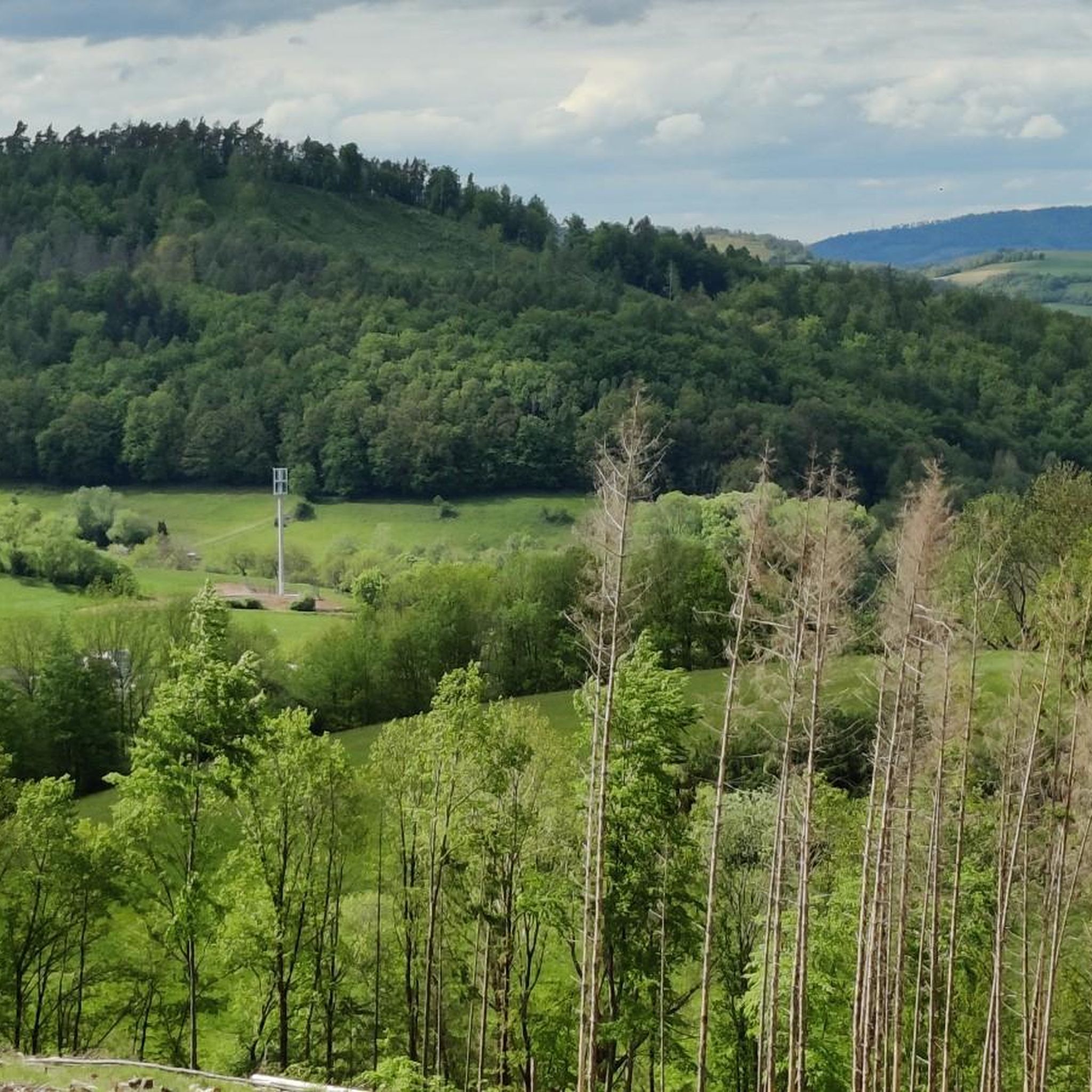
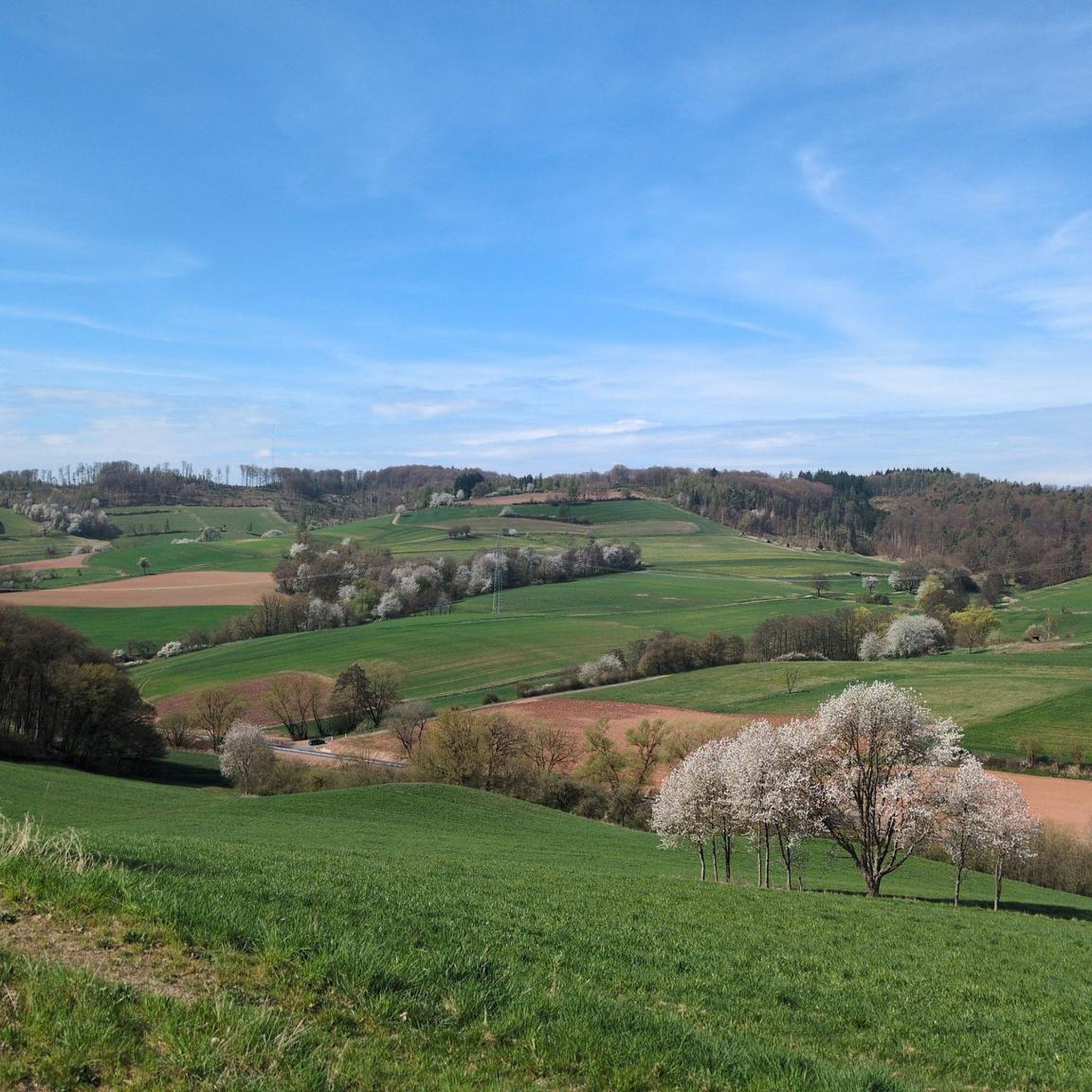
Best mountain passes around Rotenburg an der Fulda are found within a hilly and wooded landscape in northeastern Hesse, Germany. The region features undulating terrain rather than high mountain ranges, with notable elevations such as the Alheimer, reaching 548.7 meters above sea level. Visitors can explore a variety of hiking and cycling routes that traverse ranges like the Stölzinger Gebirge, offering scenic views and outdoor activities. The area provides opportunities for experiencing natural beauty and moderate climbs across its extensive forests and valleys.
Best mountain passes around Rotenburg an der Fulda
- The most popular mountain passes is Dankeröder Höhe, a mountain_pass that features a steep ascent of 12% from the direction of Dankerode. This route is considered exhausting but offers a beautiful experience with low traffic.
- Another must-see spot is Alheimer Pass Road, a mountain_pass leading through the idyllic Guttelstal to the Alheimer Hütte. The Alheimer Turm, at 548.7 meters above sea level, is accessible on foot from this area.
- Visitors also love Adjutantenstraße Descent (District Road 50), a trail and mountain_pass that leads from Erkshausen up to the Schwarzer Stock (409 m). This asphalted road was constructed in 1845.
- Rotenburg a.d. Fulda is known for its scenic pass roads, challenging climbs, and trails with viewpoints. These routes offer diverse experiences for cyclists and hikers.
- The mountain passes around Rotenburg an der Fulda are appreciated by the komoot community, with 14 upvotes and 32 photos contributed by users.
Last updated: July 7, 2026
Dankeröder Höhe
Highlight • Mountain Pass
The route from Gehau is also decent 😅
In the direction of Herlefeld you go first long at the height and then rapidly into the valley 💨
Translated by Google •
Tip by

Bischofferode–Hetzerode mountain road in the Geo-Naturpark Frau-Holle-Land
Highlight (Segment) • Mountain Pass
Translated by Google •
Tip by
Sign up now to discover places like this
Get recommendations on the best single tracks, peaks, & plenty of other exciting outdoor places.
Sign up for free
Mündershäuser Scharte
Highlight • Mountain Pass
Translated by Google •
Tip by

Adjutantenstraße Descent (District Road 50)
Highlight • Trail
Translated by Google •
Tip by

Lange Heide Forest Road
Highlight (Segment) • Trail
The top of the pass is near the Stellerskuppe (481m above sea level)
Translated by Google •
Tip by
Sign up for free to discover even more mountain passes around Rotenburg an der Fulda.
Sign up for free
Already have an account?
Start today with a free account
Your next adventure awaits.
Login or Signup
Popular around Rotenburg a.d. Fulda
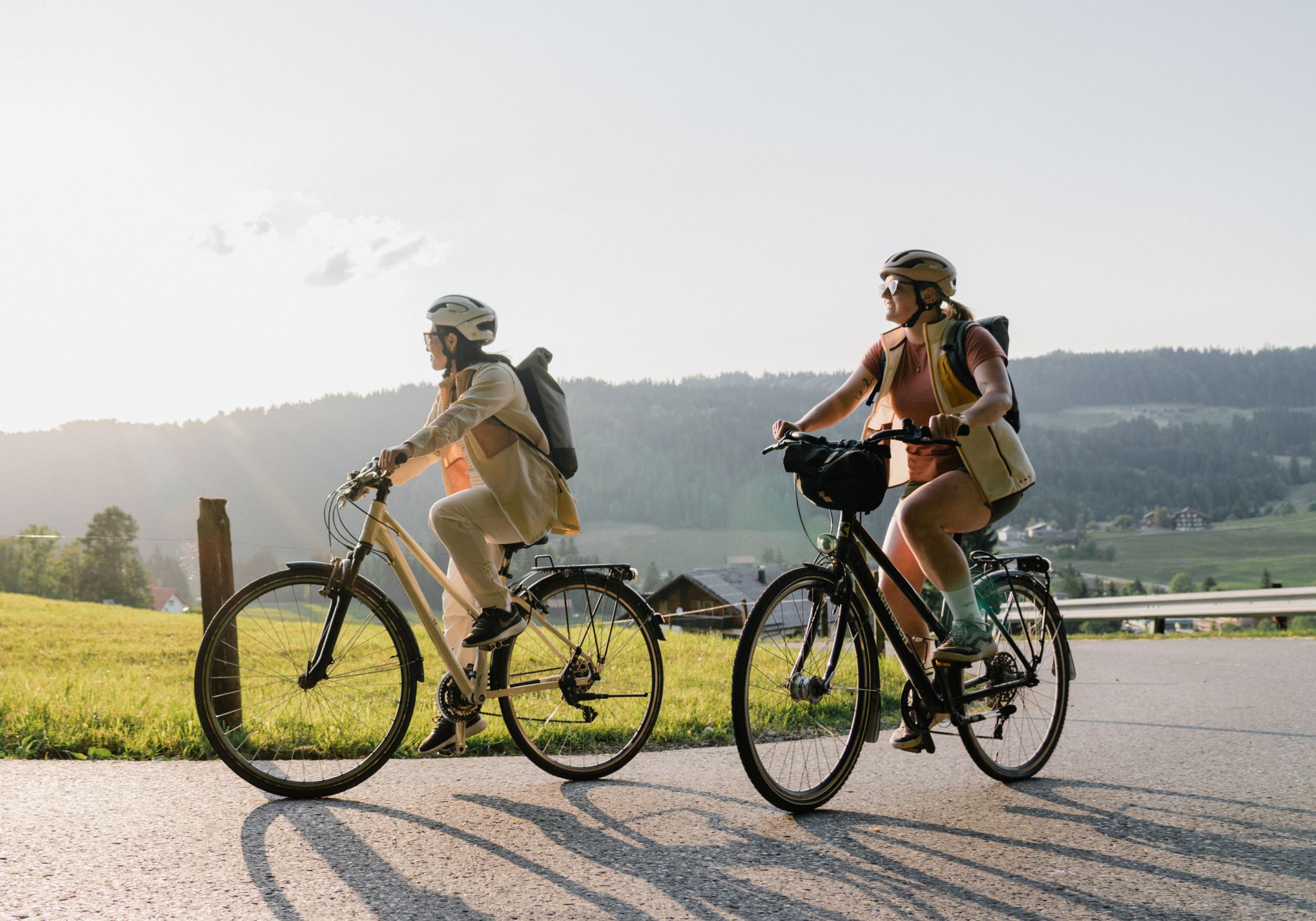
German Unity Cycle Route
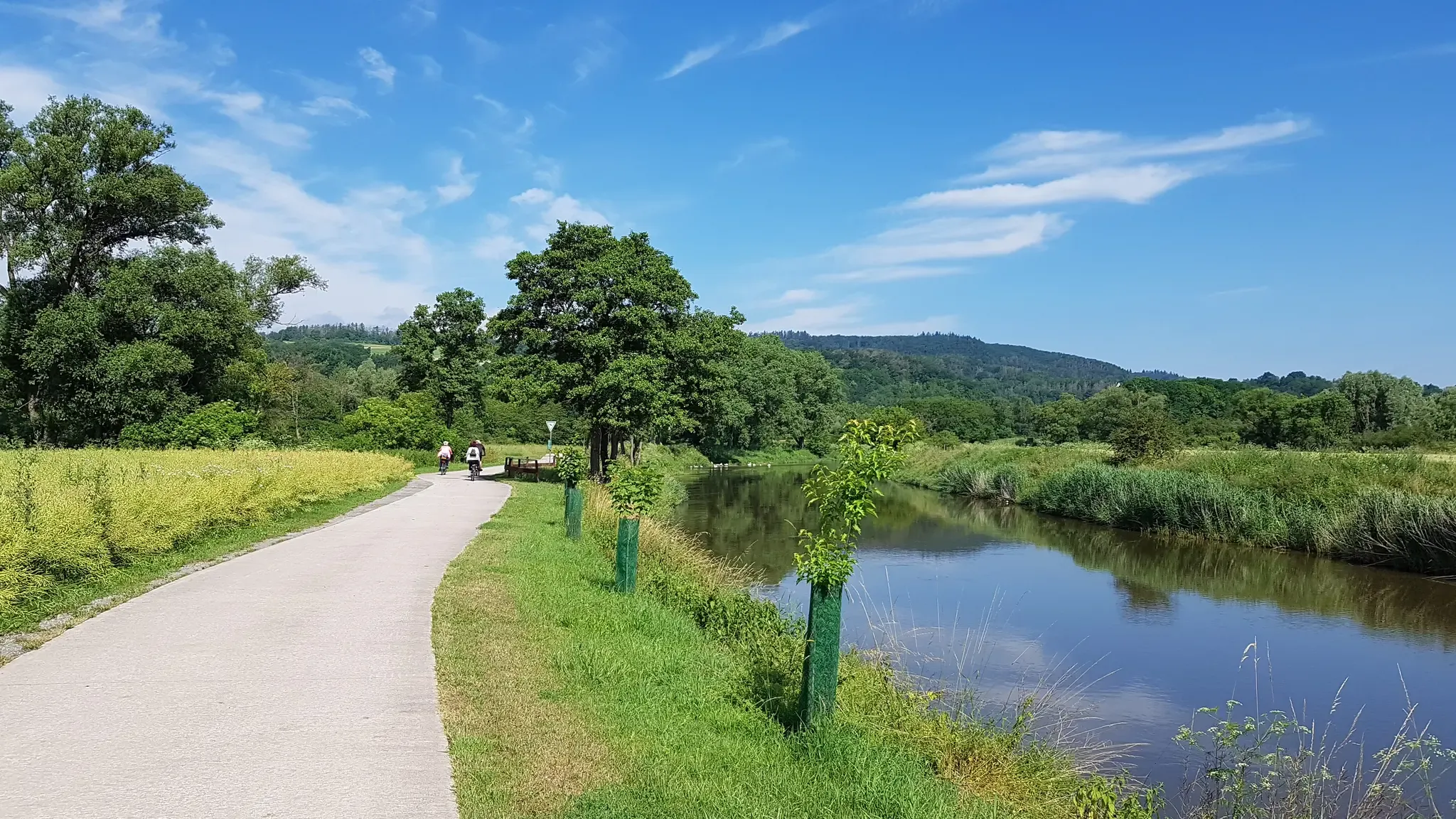
Mit Rosbacher auf Tour in Nordhessen
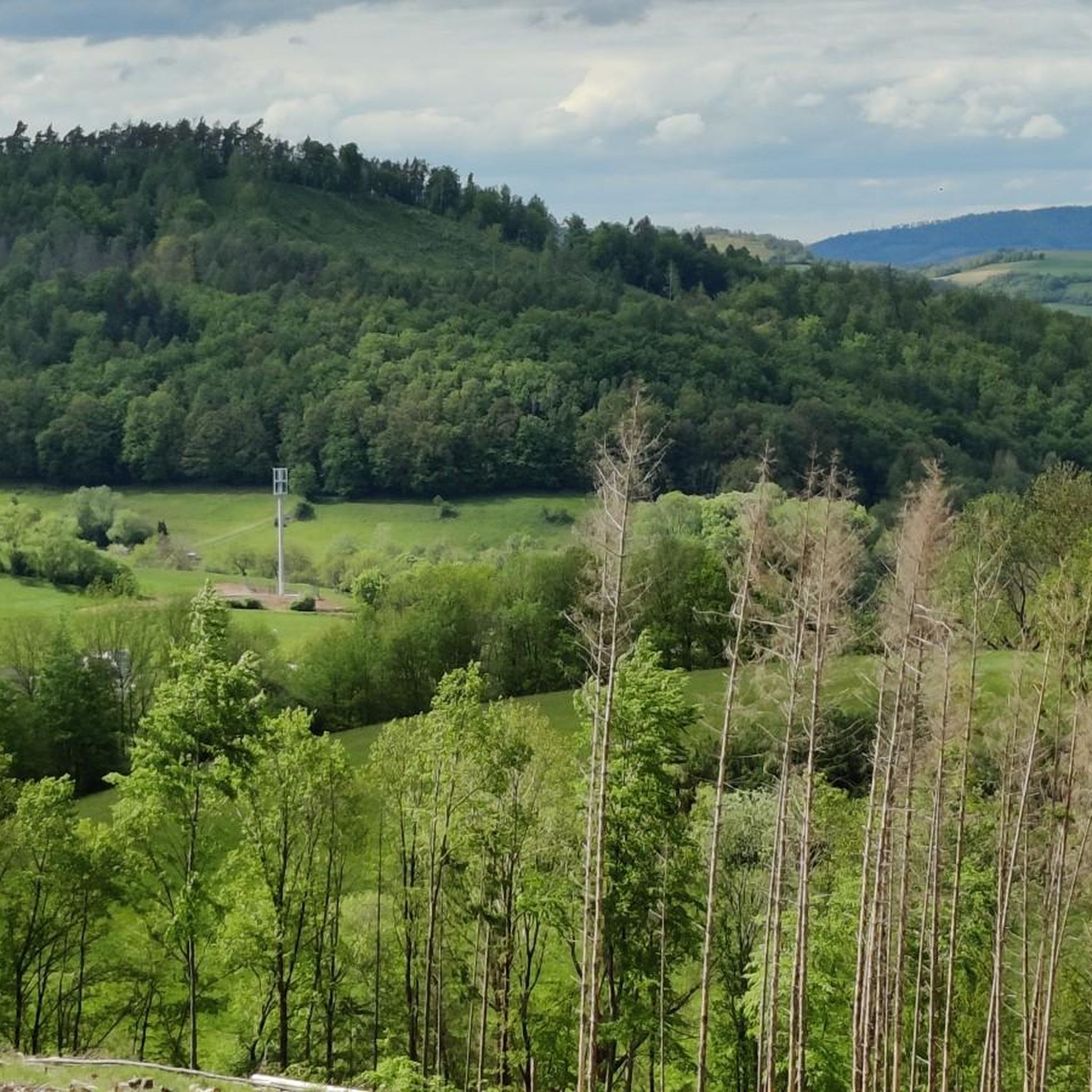
Hiking around Rotenburg an der Fulda
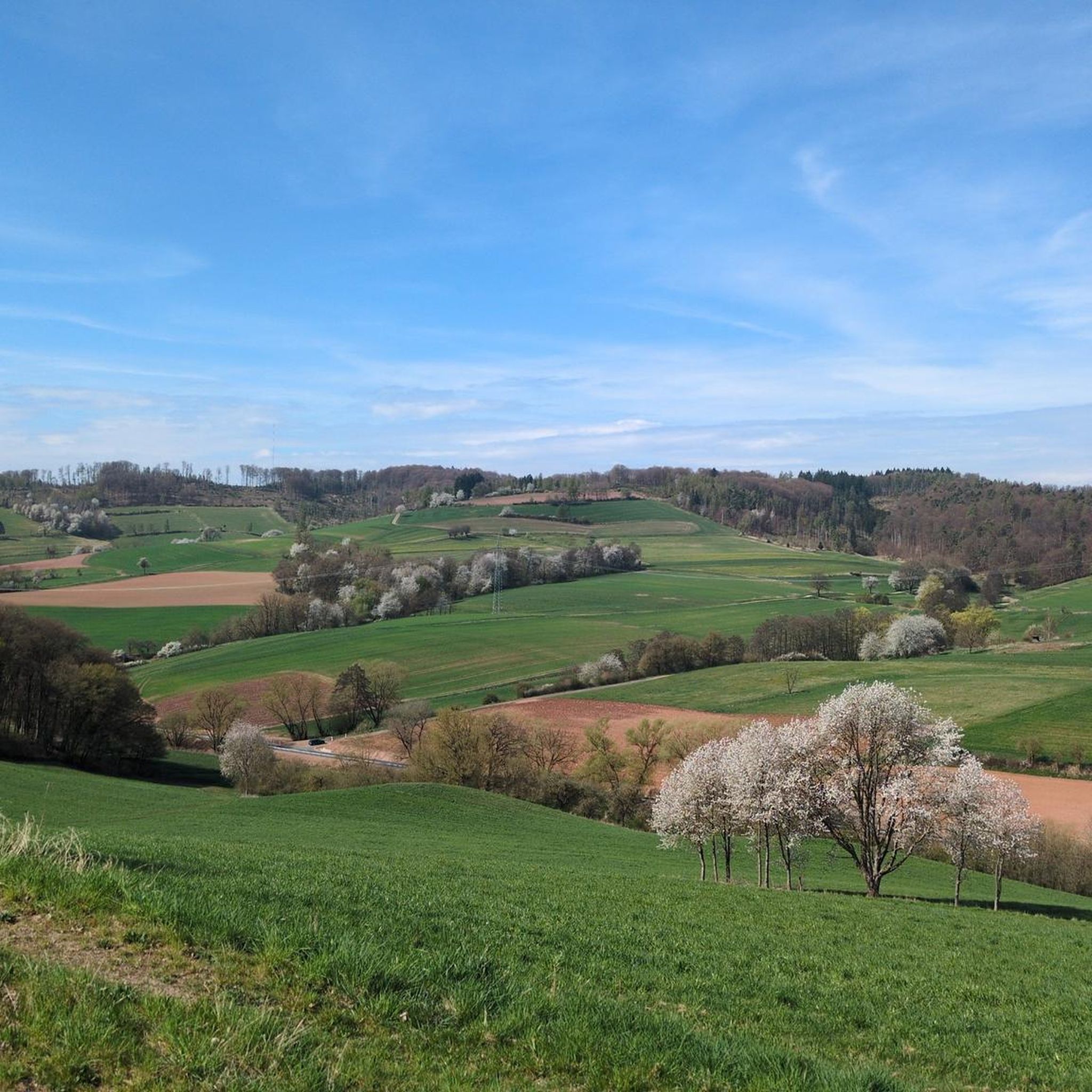
Cycling around Rotenburg an der Fulda
Running Trails around Rotenburg an der Fulda
MTB Trails around Rotenburg an der Fulda
Road Cycling Routes around Rotenburg an der Fulda
Gravel biking around Rotenburg an der Fulda
Other adventures around Rotenburg an der Fulda


Tips from the Community

Unfortunately, the rest area here is not really usable, as it has seen better days - at least for now.
1
0

The asphalted descent, county road 50, leads from Erkshausen over a pass, southwest ascent, up to the Schwarzer Stock (409 m) and further towards Rittershain. The Hessian long-distance cycle route 5 leads from the opposite direction up to the Schwarzer Stock pass and then branches off into the forest (on very poor ground) and down into the Haseltal. However, it is recommended to use the less busy and better county road 50 for the ascent and descent!
0
0

Unfortunately it's a bit old and you can't sit comfortably here anymore.
2
0

Small rest area along the way.
1
0

Exhausting but beautiful. Not too much traffic.
2
0
Quite humane and beautiful ascent.
0
0

Great ascent, consistently good surface.
2
0
The road between Rockensüß and Haselgrund was built in 1845. Allegedly financed by Hermann Freiherr von Biedenfeld at Schloss Rittershain. He was in military service at the time, including Wing adjutant and after his officer title, the street was called "Adjutantenstrasse".
0
0
Frequently Asked Questions
What are some popular elevated routes or 'mountain passes' to explore near Rotenburg an der Fulda?
The region around Rotenburg an der Fulda offers several scenic elevated routes. Highly regarded by the komoot community are the Dankeröder Höhe, known for its challenging 12% ascent and beautiful, low-traffic experience. Another popular spot is the Alheimer Pass Road, which leads through the idyllic Guttelstal towards the Alheimer Hütte and offers access to the Alheimer Turm, the highest point in the immediate vicinity.
What kind of terrain can I expect on the routes around Rotenburg an der Fulda?
The terrain around Rotenburg an der Fulda is characterized by a hilly and wooded landscape. While not high mountain ranges, you'll encounter undulating paths, extensive forests, meadows, and valleys. Routes often feature moderate climbs and descents, with some sections, like parts of the Alheimer Pass Road, reaching steep gradients of 10-15%, and even nearly 20% in short bursts.
Are there challenging routes for experienced cyclists or hikers?
Yes, for those seeking a challenge, the region provides several options. The ascent to Dankeröder Höhe from Dankerode is notably steep at 12%. Cyclists can explore routes like the 'Stölzinger Mountains - round trip' or the 'Braach Alps,' which are described as moderately difficult with varied terrain. The Alheimer Pass Road also features challenging sections with steep inclines.
Where can I find the best panoramic views in the area?
For breathtaking panoramic views, consider hiking to the Alheimer Turm, which is accessible on foot from the Alheimer Pass Road. As the highest elevation at 548.7 meters, it offers expansive vistas of the picturesque Fulda valley and the surrounding forested hills. Additionally, the newly opened Highwalk Rotenburg, a 617-meter-long suspension bridge over the Teufelsberg, provides unforgettable views over the forests and valleys of northern Hesse.
What natural features can I expect to see along these routes?
The routes around Rotenburg an der Fulda immerse you in a rich natural environment. You'll traverse extensive forests, particularly along highlights like the Mündershäuser Scharte and the Lange Heide Forest Road. The region is part of the 'fairytale-like wooded mountain ranges' in the homeland of the Brothers Grimm, offering opportunities to observe local flora and fauna amidst quiet contemplation.
Are there family-friendly options for exploring the elevated areas?
Yes, the region offers various family-friendly options. While specific 'mountain passes' might be more challenging, many hiking trails in the wooded areas around Rotenburg a.d. Fulda are suitable for families. These trails often feature varying degrees of elevation gain, allowing for easier strolls or routes with short climbs. The Highwalk Rotenburg is also ideal for families seeking adventure and scenic vistas.
What outdoor activities can I do near these elevated routes?
Beyond exploring the elevated routes themselves, the area around Rotenburg an der Fulda is excellent for various outdoor activities. You can find numerous easy hiking trails, running trails, and gravel biking routes. These activities allow you to experience the region's natural beauty, from leisurely walks along the Fulda to more demanding cycling tours through the hills.
Are there any historical points of interest along these routes?
Yes, some routes have historical significance. For instance, the Adjutantenstraße Descent (District Road 50), an asphalted road leading from Erkshausen up to the Schwarzer Stock, was constructed in 1845. It is said to be named after Hermann Freiherr von Biedenfeld, who was a Wing Adjutant. This adds a layer of historical context to your outdoor adventure.
What is the best time to visit the Rotenburg an der Fulda region for outdoor activities?
The region's hilly and wooded landscape is enjoyable throughout much of the year. Spring and autumn offer pleasant temperatures and vibrant scenery, with blooming flowers or colorful foliage. Summer is ideal for longer days and warmer weather, while winter can provide a unique, tranquil experience, though some trails might be more challenging due to snow or ice. Always check local weather conditions before your visit.
Can I bring my dog on the trails around Rotenburg an der Fulda?
Generally, the numerous hiking and forest trails in the Rotenburg an der Fulda region are dog-friendly, allowing you to explore the natural beauty with your canine companion. However, it's always advisable to keep your dog on a leash, especially in wooded areas to protect wildlife and ensure the safety of other visitors. Specific rules might apply in certain protected areas or on private land, so look for signage.
Are there any rest stops or huts along the routes?
Yes, some routes feature rest stops. For example, the Alheimer Pass Road leads to the Alheimer Hütte, which is open on weekends and provides a good spot for a short break. While the Mündershäuser Scharte also has a small rest area, visitors note that it is a bit old and might not be the most comfortable.
Most popular routes around Rotenburg an der Fulda
Most popular attractions around Rotenburg an der Fulda

Get inspired with the komoot mobile app


Explore more
See even more epic mountain passes by checking out these guides around Rotenburg an der Fulda:
