Top 11 Bike Parks around Penzberg
Best bike parks around Penzberg are characterized by an extensive network of natural mountain biking trails rather than dedicated bike parks with manufactured obstacles. The region, situated in the foothills of the Bavarian Alps, offers diverse terrain including forests, hills, and picturesque lakes. These trails provide varied experiences for different skill levels, drawing mountain biking enthusiasts to the area. Penzberg and its surroundings are known for their scenic beauty and well-signposted routes.
Best bike parks around Penzberg
- The most popular…
Last updated: July 7, 2026
Rocky Descent Trail
Highlight (Segment) • Trail
Translated by Google •
Tip by

Trail from Pessenbacher Schneid to Orterer Alm
Highlight (Segment) • Trail
Translated by Google •
Tip by

Sign up now to discover places like this
Get recommendations on the best single tracks, peaks, & plenty of other exciting outdoor places.
Sign up for free
Bad Heilbrunn Root Trail
Highlight (Segment) • Trail
Translated by Google •
Tip by

Blomberg — ascent and descent
Highlight (Segment) • Trail
Translated by Google •
Tip by

Beni Trail
Highlight (Segment) • Trail
Translated by Google •
Tip by

Sign up for free to discover even more bike parks around Penzberg.
Sign up for free
Already have an account?
Start today with a free account
Your next adventure awaits.
Login or Signup
Popular around Penzberg

Road to Lisbon – bikepacking the Alps, Pyrenees and Picos de Europa
Art and nature by bike – from Munich to the edge of the Alps
Cycling around Penzberg
Road Cycling Routes around Penzberg
MTB Trails around Penzberg
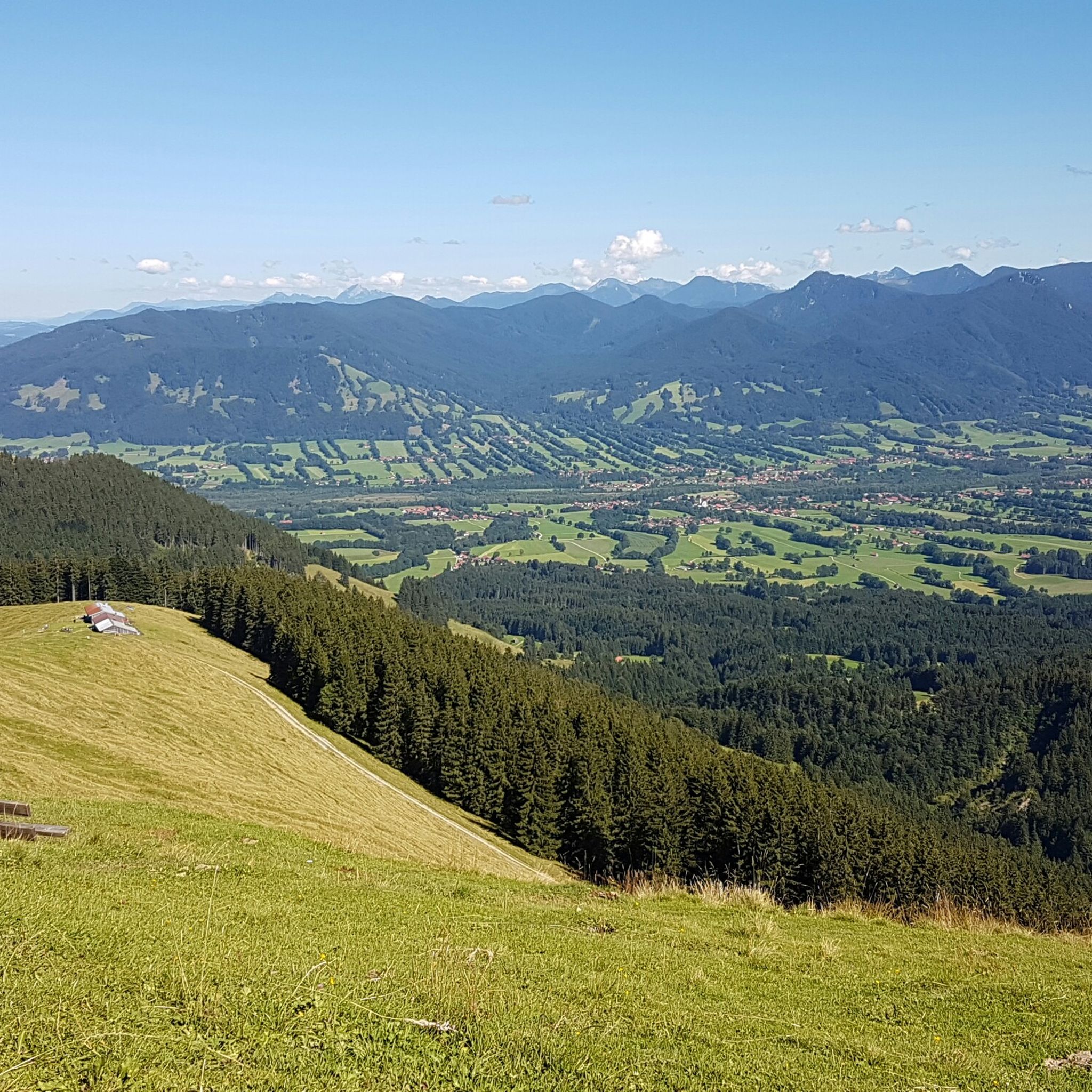
Hiking around Penzberg
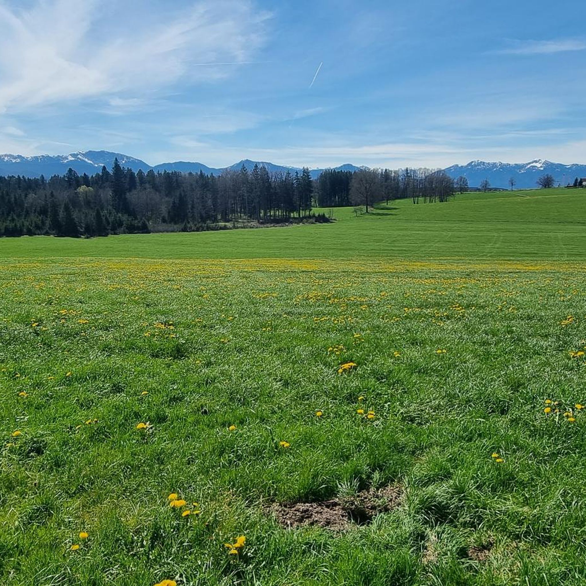
Running Trails around Penzberg
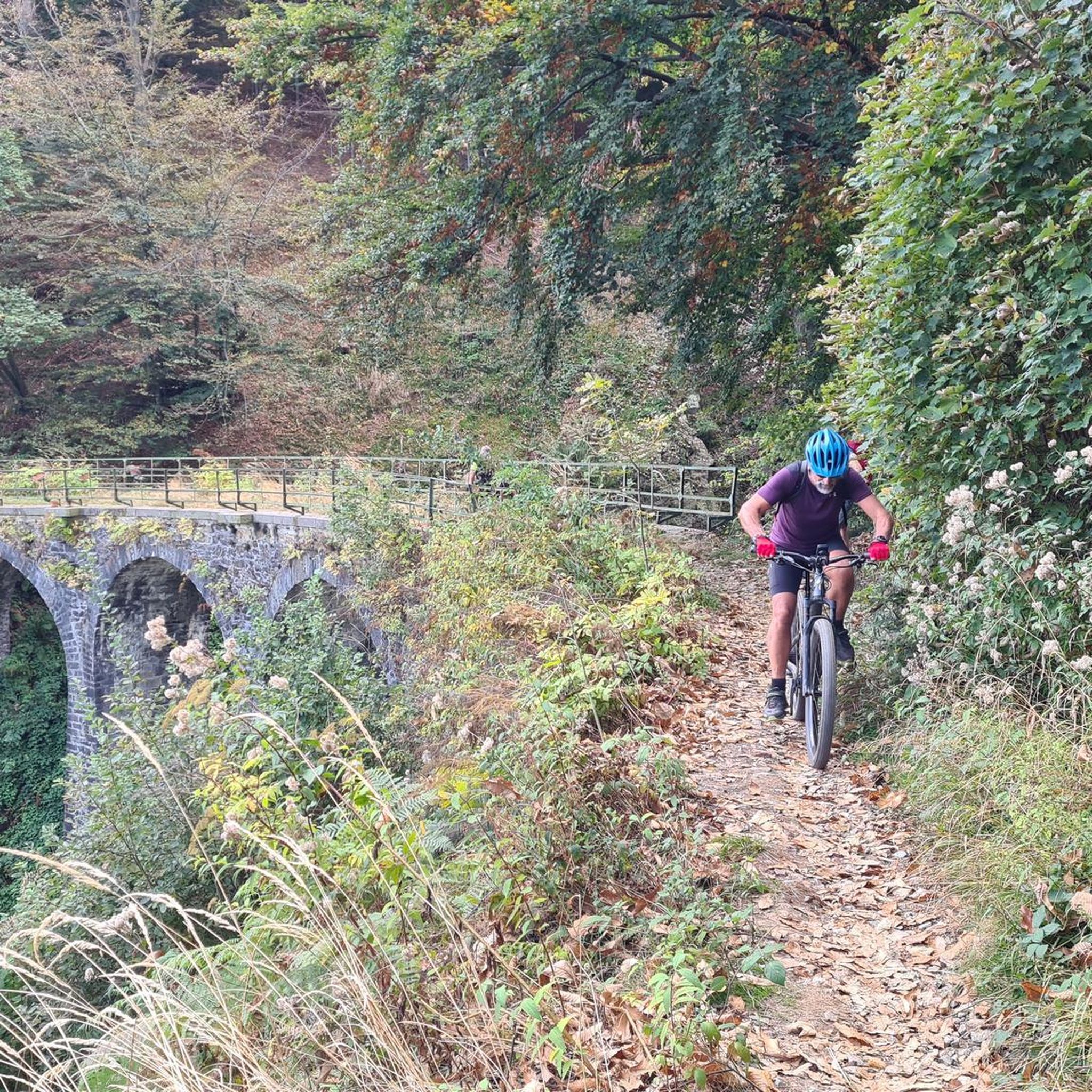
Mountain Hikes around Penzberg
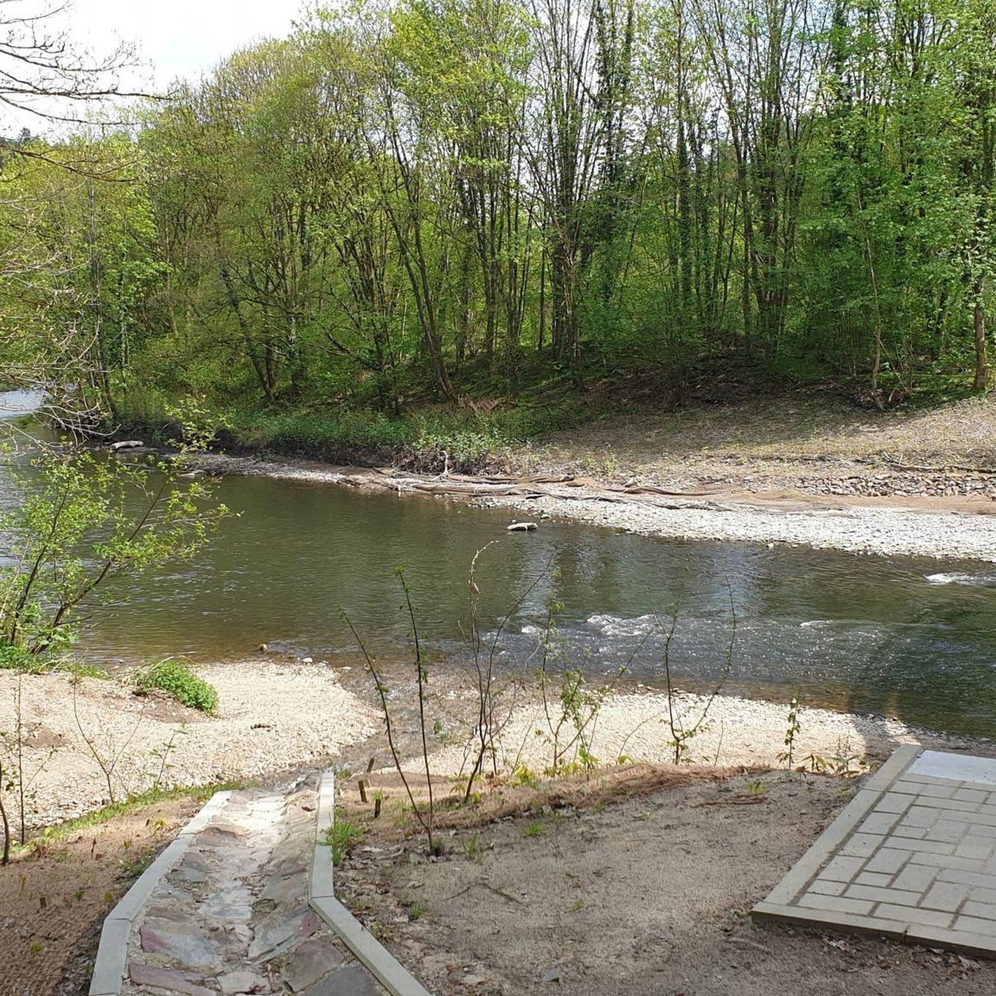
Gravel biking around Penzberg


Tips from the Community

With enough skills and strong forearms, this is a fun trail. Afterwards, your fingers will burn and your brain will be well shaken, not stirred.
0
0

Beautiful path up to Blomberg
0
0

Advanced driving technique + moving the rear wheel is mandatory here. Otherwise it will be pushed to S3!
1
0

split in two! Coming from the Tanner Alm, the approximately 1.5 km long first part is marked as S1. Doesn't apply to me, there are definitely some tricky spots. Nothing for beginners, but those who can drive will have fun here! From the Pessenbacher Schneid down to the Orterer Alm, the classification is S3, which is absolutely correct. But as Haral writes above, it's definitely the lesser evil. If you do the Benewand circumnavigation, it doesn't get any easier than here.
1
0

The section is really demanding and slippery and therefore dangerous, especially after a rainy phase because of the many roots and the slope. If you drive southwest, a very inconspicuous path begins just before the S3 section on the right - Komoot shows this path as an alternative route to the Ortereralm. ABSOLUTELY AVOID THIS PATH! After a very short distance, there is a very steep slope crossing with very high grass on the side (no chance of stopping in the event of a fall (i.e. in case of a fall :-)) - neither for humans nor MTB. After this passage, there is a zigzag descent (also shown on the map) which is very difficult to master, especially with a heavy e-bike - the terrain is also very blocked and pushing the bike is out of the question - the section requires lifting, tugging and carrying the bike - I did this section downhill and especially on my own any injury would be problematic - despite the fact that you can already see the hut from the middle - do get lost here especially under the week nobody. So, avoid the inside path at all costs... and stay healthy. The S3 variant is by far the "lesser evil".
3
0


Technically and physically demanding trail that is very rocky, stony with many roots and steps.
2
2

Very nice trail, dry s2 / 3 if it is wet you could pass it as S4 due to the many roots. It already has some more technically demanding parts, with curves and steps or a little rock in curves, so far my absolute favorite trail in this area.
1
0
Frequently Asked Questions
What kind of bike parks can I expect around Penzberg?
The Penzberg region is primarily known for its extensive network of natural mountain biking trails, rather than dedicated bike parks with manufactured obstacles like jumps or drops. These trails offer diverse terrain, from gentle hills to challenging slopes, dense forests, and picturesque lakes, catering to various skill levels.
Are there challenging mountain biking trails near Penzberg?
Yes, the area offers several challenging trails. For instance, the Rocky Descent Trail is very bumpy and stony, often resembling a creek bed. Another demanding option is the Bad Heilbrunn Root Trail, which features technically demanding parts with curves, steps, and rocks, especially after rain.
What are some popular trails for experienced riders?
Experienced riders often enjoy trails like the Trail from Pessenbacher Schneid to Orterer Alm, which is technically and physically demanding with many roots, rocks, and steps. The Bad Heilbrunn Root Trail also offers S2/S3 sections, becoming even more challenging when wet.
Are there any trails with scenic views?
Many routes in the Penzberg area offer breathtaking views. The Blomberg — ascent and descent trail provides a beautiful viewpoint with snack bars. Additionally, routes like the 'Loisach Riverside Trail – View of the Benediktenwand loop' offer stunning mountain panoramas, and the 'View of Lake Walchensee loop' provides picturesque lake vistas.
What is the general difficulty level of mountain biking trails in the Penzberg area?
The trails around Penzberg range from moderate to difficult, with options for various skill levels. While some routes like the 'View of Lake Walchensee loop' are moderate, many popular trails, such as the 'Stallauer Weiher – Stallauer Weiher loop' and the 'Loisach Riverside Trail', are classified as difficult, requiring good fitness and advanced riding skills.
Can I find trails suitable for improving my mountain biking skills?
Absolutely. The varied terrain of the natural trails around Penzberg provides an excellent environment for skill development. The challenges presented by different paths, including rocky and rooty sections, can help riders enhance their technique and confidence.
What other outdoor activities are available near the bike trails in Penzberg?
Beyond mountain biking, the region offers a variety of outdoor activities. You can explore numerous hiking trails, such as those found in the Hiking around Penzberg guide, or embark on more challenging mountain hikes, detailed in the Mountain Hikes around Penzberg guide. There are also additional mountain biking routes listed in the MTB Trails around Penzberg guide.
When is the best time of year to go mountain biking around Penzberg?
The best time to visit for mountain biking is typically during the warmer months, from late spring to early autumn. This period offers favorable weather conditions, allowing riders to fully enjoy the diverse terrain and scenic beauty. Some routes also offer opportunities to see marsh orchids and irises in late spring.
Are there any trails that are particularly rocky or rooty?
Yes, the area features trails known for their challenging natural obstacles. The Rocky Descent Trail is characterized by its stony path, often resembling a creek bed with many boulders. The Bad Heilbrunn Root Trail is also noted for its numerous roots, especially when wet, making it technically demanding.
What do visitors enjoy most about the trails around Penzberg?
Visitors appreciate the variety of terrain, from challenging ascents to flowing descents, and the stunning natural beauty. Many enjoy the demanding yet mobile ascent and beautiful flowing descent of the Blomberg — ascent and descent trail, often highlighting the rewarding viewpoints and snack bars along the way.
Are there any moderate mountain bike routes for longer rides?
Yes, for those looking for longer, moderate rides, the 'View of Lake Walchensee loop from Penzberg' is a good option, covering 77.9 km. Another moderate route is the 'View of the Loisach – Loisach Canal loop from Penzberg', which is 45.6 km long with less elevation gain.
How well are the mountain bike trails around Penzberg signposted?
Many of the mountain bike trails in the Penzberg region are well-signposted, which makes them accessible for both beginners and advanced riders. This clear signage helps riders navigate the diverse landscapes effectively.
Are there forest trails in the Penzberg area?
Yes, several trails wind through dense forests. The Bad Heilbrunn Root Trail is a challenging route through a forest, known for its technical sections. The Beni Trail also offers a beautiful descent through mountain forest sections.
Most popular routes around Penzberg
Most popular attractions around Penzberg

Get inspired with the komoot mobile app


Explore more
Still looking for your perfect bike park? Check out our guides in these places:
