Top 14 Bike Parks around Bayerisch Gmain
Best bike parks around Bayerisch Gmain are situated within the broader Berchtesgadener Land, a region recognized for mountain biking. The area offers varied terrain, with altitudes ranging from 550 to 1738 meters, providing diverse elevation profiles. Trails traverse forest paths and open landscapes, including routes through the Lattengebirge mountains and along the Saalach river.
Best bike parks around Bayerisch Gmain
- The most popular bike parks is Schloßgraben Trail, a trail that features many roots, obstacles, and rocky sections. It…
Last updated: July 7, 2026
Schloßgraben Trail
Highlight (Segment) • Trail
Translated by Google •
Tip by

Leitengraben Trail
Highlight (Segment) • Trail
Translated by Google •
Tip by
Sign up now to discover places like this
Get recommendations on the best single tracks, peaks, & plenty of other exciting outdoor places.
Sign up for free
Rocky Trail to Mordau-Alm
Highlight (Segment) • Trail
Translated by Google •
Tip by

Gravel Forest Descent
Highlight (Segment) • Trail
Translated by Google •
Tip by
Scenic Mountain Trail
Highlight (Segment) • Trail
Translated by Google •
Tip by

Sign up for free to discover even more bike parks around Bayerisch Gmain.
Sign up for free
Already have an account?
Start today with a free account
Your next adventure awaits.
Login or Signup
Popular around Bayerisch Gmain

Triathlon around Germany
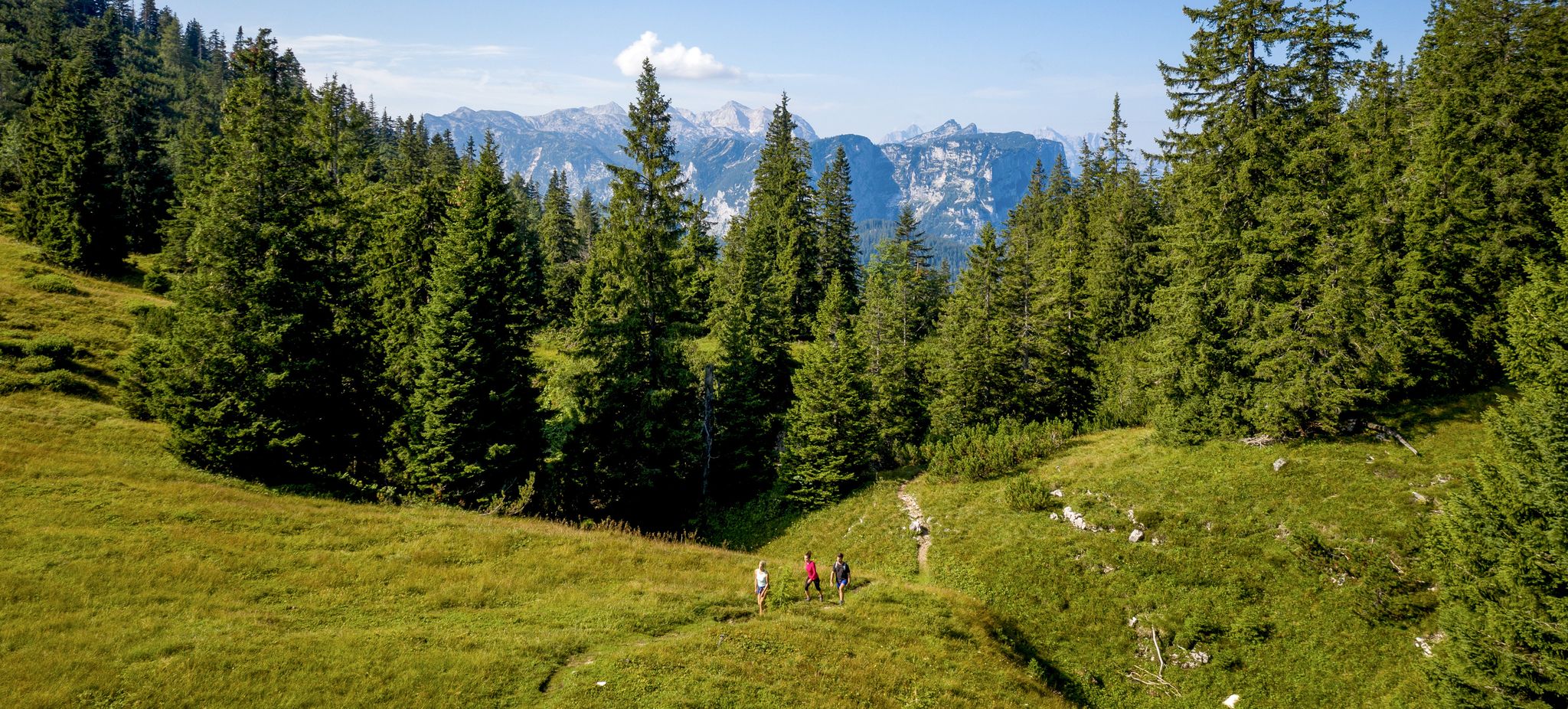
Hike, scramble and relax – outdoors in Bad Reichenhall
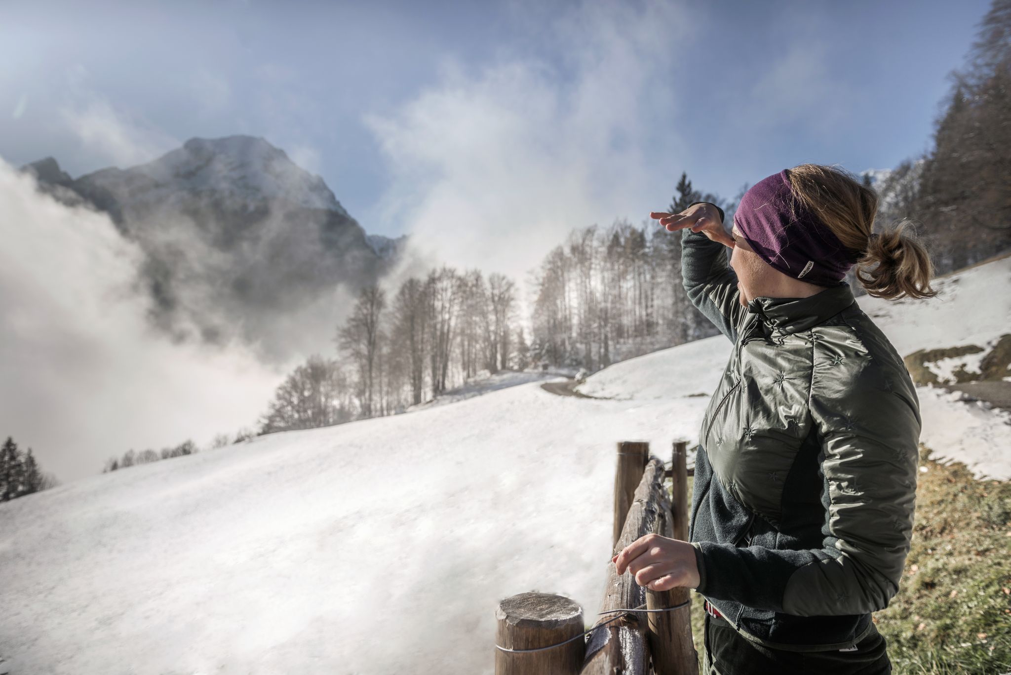
A snowy dream – winter hiking in Upper Bavaria
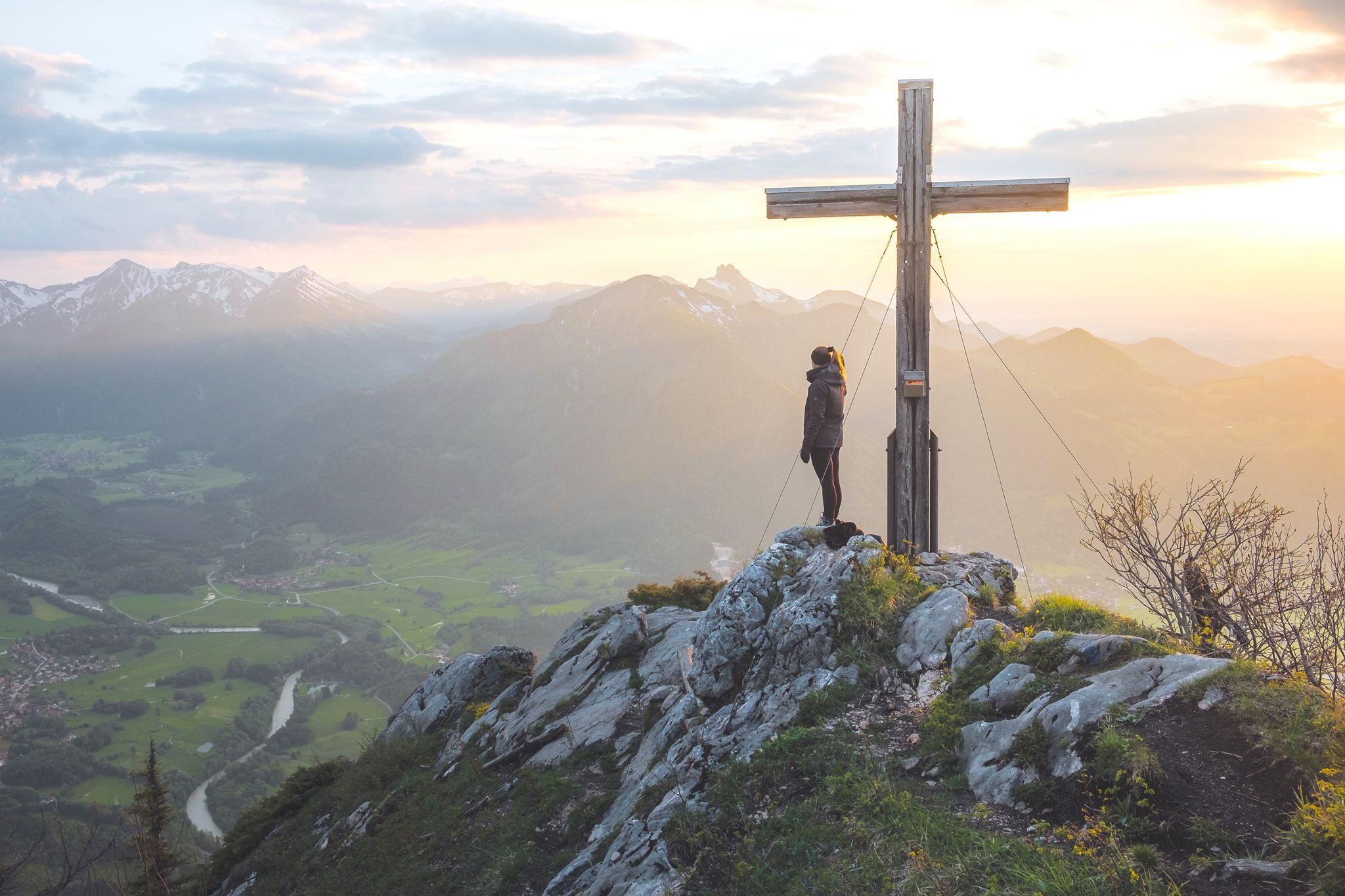
High up in Chiemgau and Berchtesgadener Land
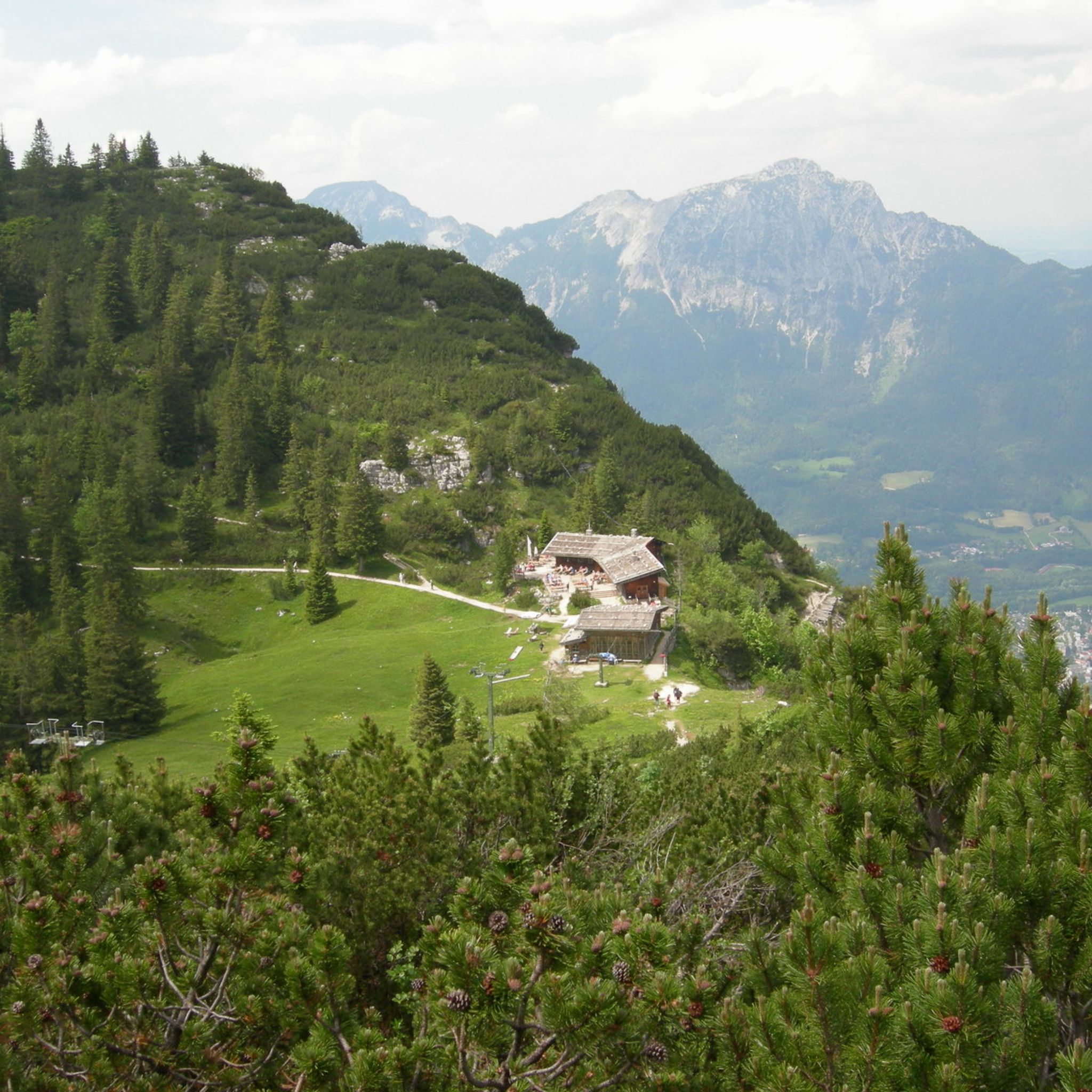
Hiking around Bayerisch Gmain
MTB Trails around Bayerisch Gmain
Cycling around Bayerisch Gmain
Road Cycling Routes around Bayerisch Gmain
Running Trails around Bayerisch Gmain

Mountain Hikes around Bayerisch Gmain
Other adventures around Bayerisch Gmain


Tips from the Community

A beautiful mountain path along a stream to the Steineralm.
0
0

There's a short steep section from Mordau to Bischofswiesen. Inexperienced cyclists may need to push. The uphill climb is quite strenuous.
0
0

Nice S2 downhill with lots of rough gravel. Not really rideable uphill.
1
0

Definitely not an S1 route that you drive "just like that". If you don't ride MTB regularly(!), you have to get off and carry your bike here. Would rather rate it as at least S2. Uphill for hobby cyclists also a challenge when carrying. I would not recommend.
0
0


A short, really fun trail!:) You should have a little bit of technique, otherwise just get off the bike for a moment before you fall. This trail is recommended for anyone who wants to add a little variety to their tour;)
0
0
Briefly lift the bike, then lift over it and the gate is over .. I did not notice a prohibition sign!
0
0
Frequently Asked Questions
What kind of mountain biking trails can I expect around Bayerisch Gmain?
The Bayerisch Gmain area, part of the broader Berchtesgadener Land, offers a diverse network of mountain biking trails. You'll find varied terrain, from forest paths and open landscapes to routes through the Lattengebirge mountains and along the Saalach river. Trails range in altitude from 550 to 1738 meters, providing diverse elevation profiles.
Are there challenging mountain biking trails in the area?
Yes, Bayerisch Gmain is known for challenging trails. For instance, the Schloßgraben Trail features many roots, obstacles, and rocky sections, with passages along steep slopes requiring good bike control. Another challenging option is the Rocky Trail to Mordau-Alm, which is suitable only for experienced mountain bikers due to its S2 difficulty at the start.
What are some popular mountain biking trails near Bayerisch Gmain?
Beyond the challenging trails, you can explore routes like the Gravel Forest Descent, an intermediate to challenging trail with rough gravel cart track sections. The Leitengraben Trail is also popular, offering steps and many root passages for an exciting ride.
Are there any trails with scenic views or natural features?
Absolutely. Many trails offer beautiful natural scenery. The wider region includes routes like the Watzmannblick – Hintersee-Runde, which provides impressive views of the iconic Watzmann mountain and the picturesque Hintersee lake. The Scenic Mountain Trail also offers great views, though it can be quite demanding.
What do visitors enjoy the most about mountain biking in Bayerisch Gmain?
Visitors frequently praise the fun factor and variety of the trails. For example, the Schloßgraben Trail is described as 'ingenious' and 'really fun' due to its roots and obstacles. The Leitengraben Trail is also noted for its 'great fun factor' with steps and root passages.
When is the best time to go mountain biking in Bayerisch Gmain?
The mountain biking season typically runs from spring through autumn. While specific dates depend on weather conditions, the region's trails are generally best enjoyed when free of snow and ice, offering optimal grip and visibility. Always check local weather forecasts before heading out.
Are there family-friendly mountain biking options around Bayerisch Gmain?
While many trails in the immediate guide are challenging, the broader Berchtesgadener Land offers a range of options. For easier, scenic rides, consider routes along the Saalach river, such as the Saalach und Wasserfälle – Saalach-Uferweg-Runde, which offers riverside paths and views of waterfalls and is classified as medium difficulty.
What other outdoor activities can I do near the mountain biking trails?
The region around Bayerisch Gmain is excellent for various outdoor pursuits. You can find numerous cycling routes for touring and road biking, as well as mountain hiking trails. For more details, explore the Cycling around Bayerisch Gmain guide, the Mountain Hikes around Bayerisch Gmain guide, or the Road Cycling Routes around Bayerisch Gmain guide.
How can I find detailed maps and information for these trails?
Detailed maps and information, including difficulty levels and user reviews, are available on platforms like Komoot, Trailforks, Outdooractive, and Bikemap. These resources can help you plan your routes effectively and understand the terrain.
What kind of terrain can I expect on the mountain biking trails?
The terrain varies significantly. You'll encounter natural ground, forest paths, gravel cart tracks, and rocky sections. Some trails feature roots, steps, and technical elements like small switchbacks. The Jochberg Trail, for example, is described as an 'epic flow single-trail on natural ground' with a mix of forest ground and gravel.
Are there any technical single-trails for experienced riders?
Yes, experienced riders will find several technical single-trails. The Jochberg Trail near Bad Reichenhall is known for its enjoyable flow section with technical elements. Additionally, the Plattensteig Upper and Lower trails offer natural ground with technical sections, including small switchbacks and narrow passages.
What are the elevation profiles like for mountain biking in the region?
The region offers diverse elevation profiles, with trails ranging from 550 to 1738 meters in altitude. This means you can find routes with significant climbs and descents, providing a good workout and varied riding experiences through the Lattengebirge mountains and surrounding areas.
Most popular routes around Bayerisch Gmain
Most popular attractions around Bayerisch Gmain

Get inspired with the komoot mobile app


Explore more
Still looking for your perfect bike park? Check out our guides in these places:
