Cranborne Chase & West Wiltshire Downs AONB
Cranborne Chase & West Wiltshire Downs AONB
Top 17 Natural Monuments in Cranborne Chase & West Wiltshire Downs AONB
Best natural monuments in Cranborne Chase & West Wiltshire Downs AONB include a diverse range of natural features. This region, now known as the Cranborne Chase National Landscape, is characterized by extensive chalk downlands, ancient woodlands, and distinctive river valleys. These sites are recognized for their ecological significance and scenic beauty. The area's status as a National Landscape underscores the inherent value of its natural features.
Best natural monuments in Cranborne Chase & West Wiltshire Downs AONB
- The most popular…
Last updated: July 6, 2026
Win Green Summit
Highlight • Historical Site
Tip by

Badbury Rings Iron Age hillfort
Highlight • Viewpoint
Tip by

Sign up now to discover places like this
Get recommendations on the best single tracks, peaks, & plenty of other exciting outdoor places.
Sign up for free
Bokerley Dyke
Highlight • Trail
Tip by

Fontmell Down
Highlight (Segment) • Viewpoint
Tip by
Cold Kitchen Hill Trig Point
Highlight • Viewpoint
Tip by

Sign up for free to discover even more natural monuments in Cranborne Chase & West Wiltshire Downs AONB.
Sign up for free
Already have an account?
Start today with a free account
Your next adventure awaits.
Login or Signup
Popular around Cranborne Chase & West Wiltshire Downs AONB
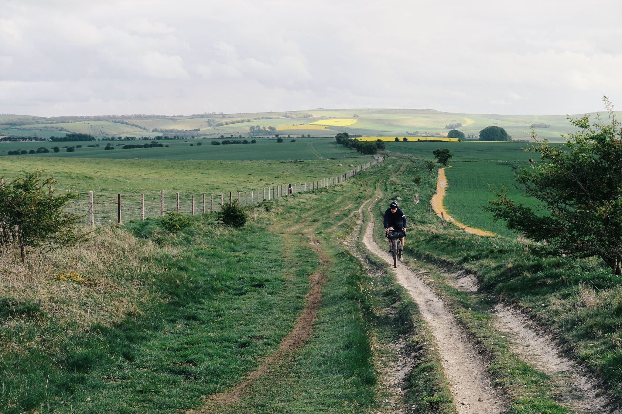
The Old Chalk Way
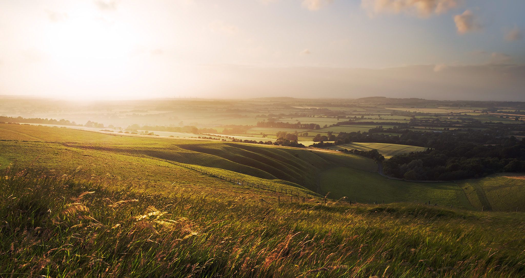
Hiking the Greater Ridgeway — Following Roman roads across England
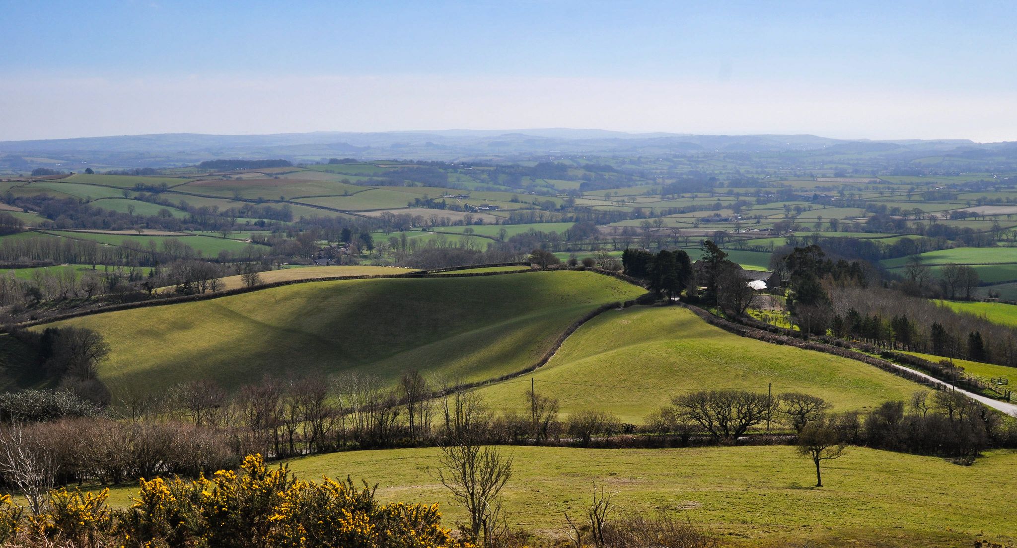
Hiking the Orange Way — Southern England in the footsteps of a king
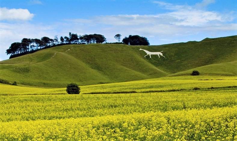
Wessex Ridgeway — An ancient and beautiful ridge hike
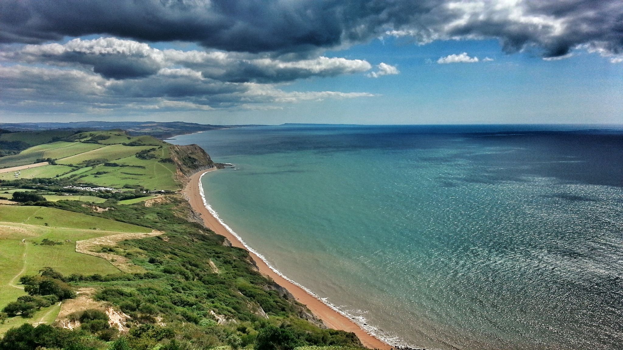
Monarch's Way: Part 3 — Conquer the longest inland trail in England
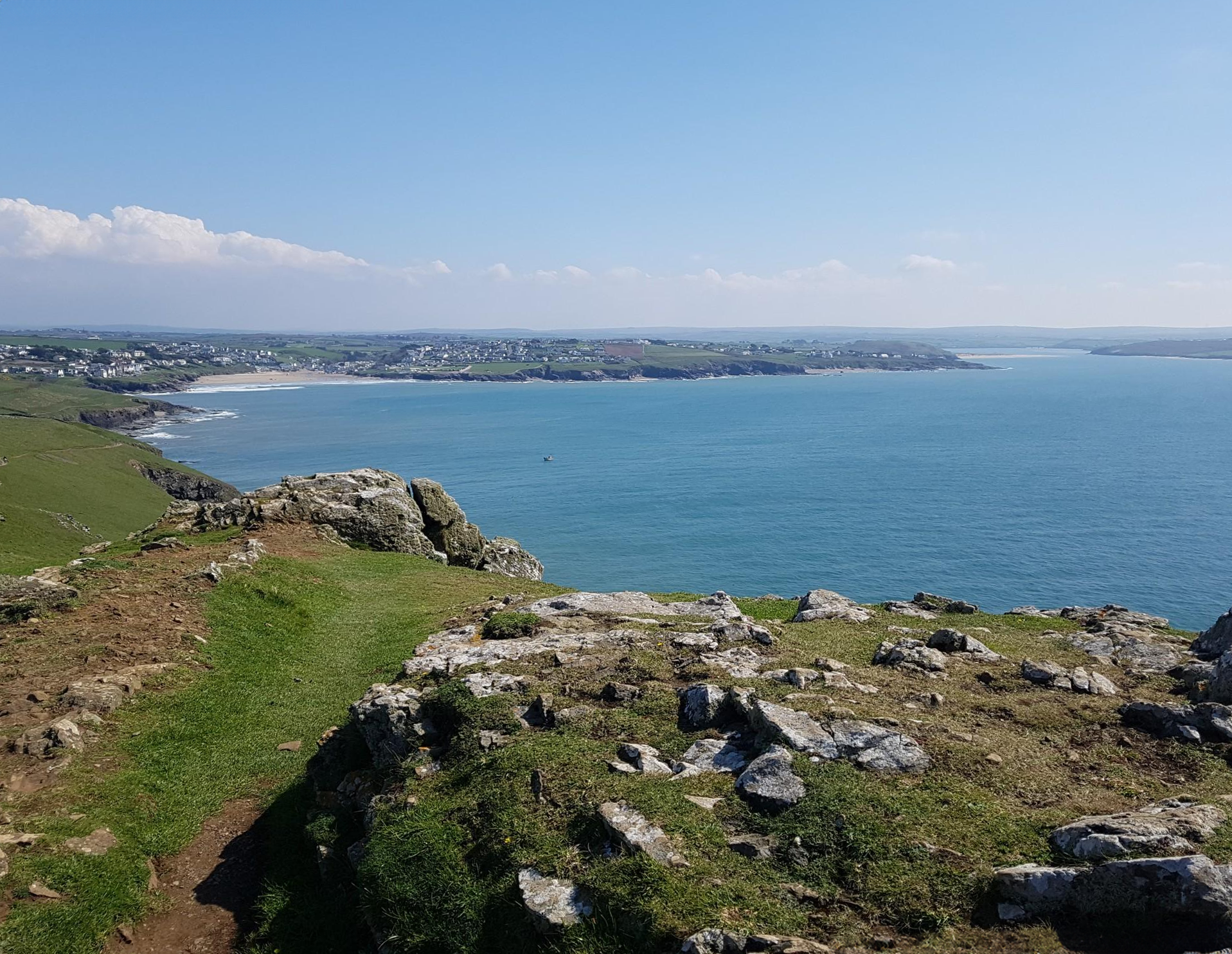
Trust10 – Trail Runs. In nature, for nature.
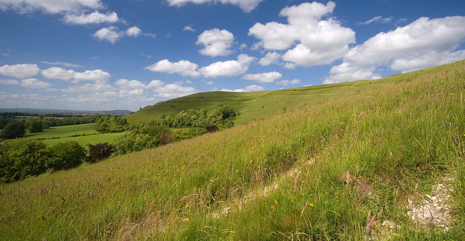
Roaming the ramparts of Dorset's hillforts — National Trust
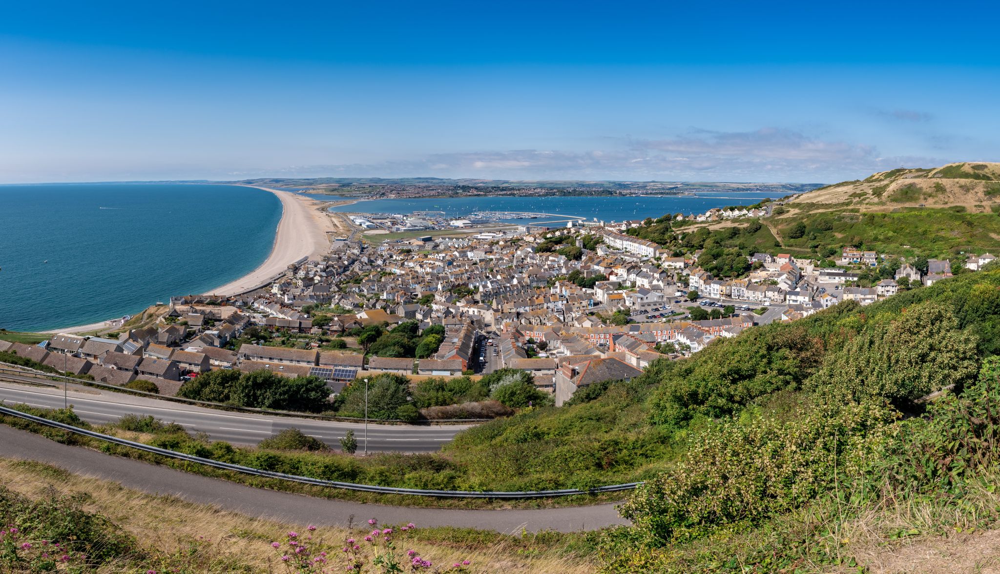
The county’s finest road rides — Dorset style
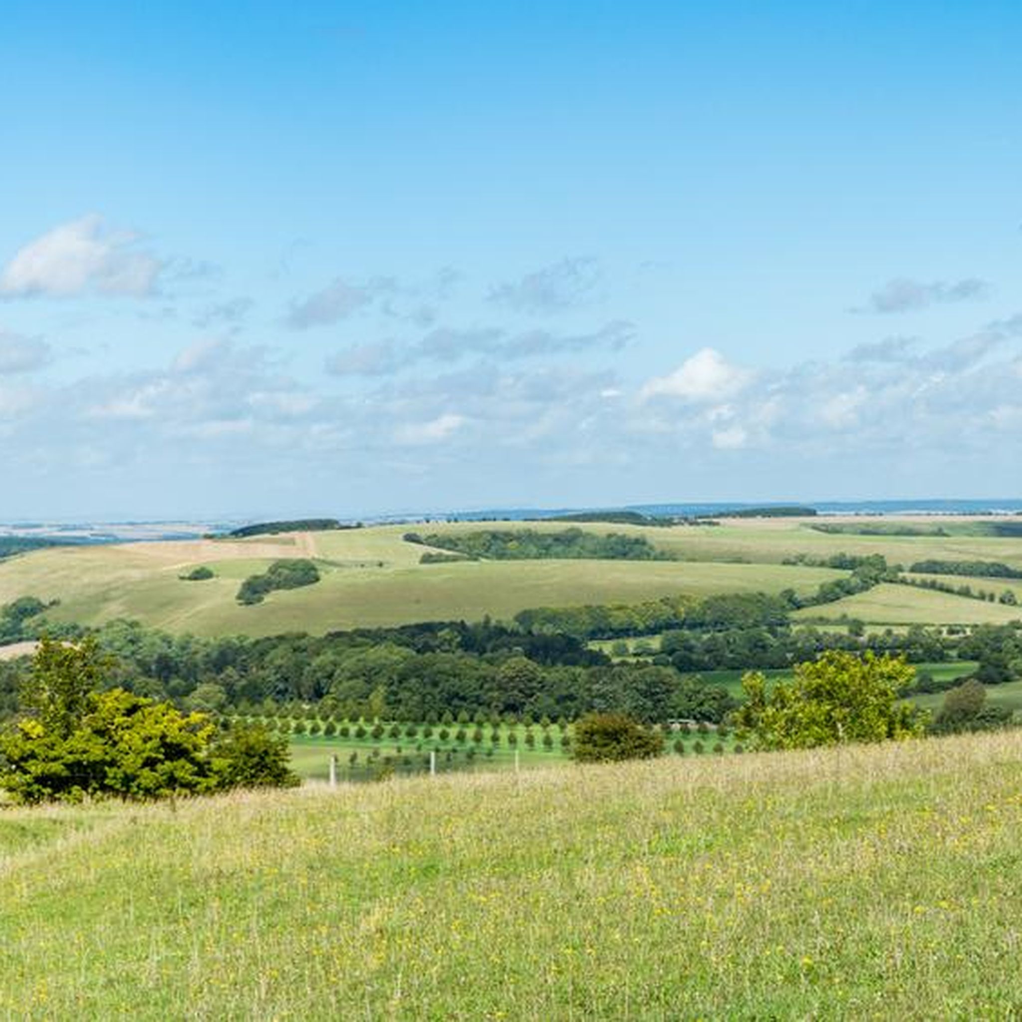
Hiking in Cranborne Chase & West Wiltshire Downs AONB
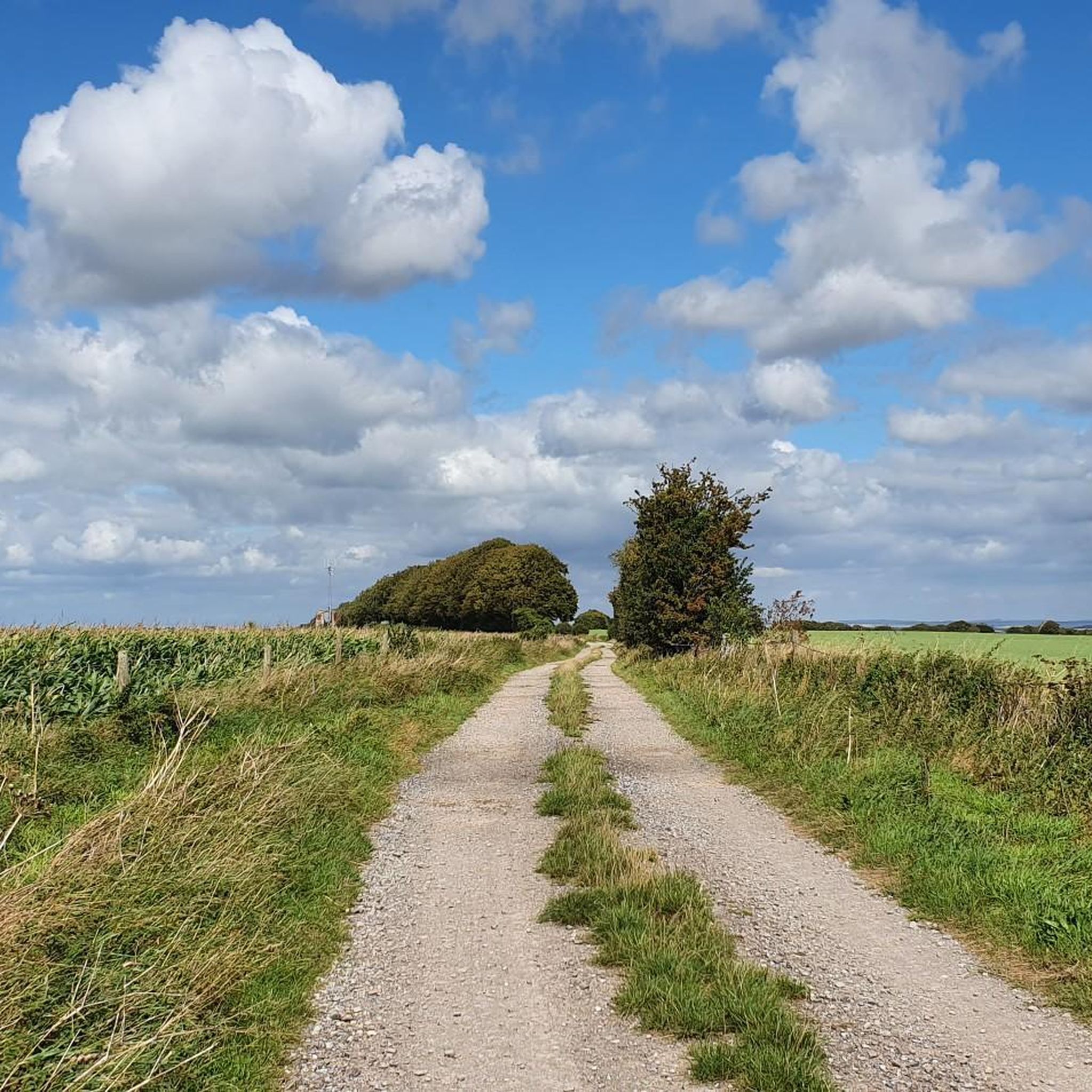
Running Trails in Cranborne Chase & West Wiltshire Downs AONB
Other adventures in Cranborne Chase & West Wiltshire Downs AONB


Tips from the Community

Fontmell Down is a Site of Special Scientific Interest (SSSI) and a nature reserve located in Dorset, England, within the Cranborne Chase Area of Outstanding Natural Beauty. It is known for its beautiful chalk downland, rich biodiversity, and panoramic views. The down is a steep, sinuous flank of a chalk plateau, offering extensive views across the Blackmore Vale, a landscape featured in the novels of Thomas Hardy. The chalk was formed about 100 million years ago from microscopic plants, and the down's steep-sided dry valleys were created by periglacial meltwater erosion during the last Ice Age. Earthworks visible on the down are much more recent, including those from a golf course that was present in the 1930s. In 1645, the downs were the site of an assembly of 3,000 Dorset "Clubmen," who were local residents protesting against the armies of both sides in the English Civil War.
0
0
Bokerley Dyke is a substantial linear earthwork, approximately 5.75 kilometers (3.6 miles) long, located on Cranborne Chase. It runs along part of the border between Dorset and Hampshire, specifically between Woodyates and Martin. It is part of a larger Scheduled Monument that also includes Grim's Ditch and other earthworks. The dyke has a multi-period history. It is believed to have originated in the Bronze Age or Early Iron Age as an important political and cultural boundary. In the 1st century, it was cut through by a Roman road, Ackling Dyke, which ran between Old Sarum and Badbury Rings. In the 4th century, the dyke was remodeled and brought back into use. During this period, the Roman road was blocked. A coin of Valens found during excavations dates this activity to shortly after 364 AD, with some sources suggesting it was built between 367-368 AD. This remodeling may have been a defensive measure against attacks on Britain by Picts, Scots, and Saxons. The Roman road was eventually reopened, but the dyke may have continued to be used as a boundary after the Roman administration ended. Today, it still forms part of the border between the counties of Dorset and Hampshire.
0
0

Good climb, was across fields but fine today as they’ve been harvested. Might have been tricky earlier in the year
0
0

One of the most beautiful places in the south of England 🏴 and amazing views of Wiltshire and Dorset 🤩
0
0
Badbury Rings is an Iron Age hill fort and Scheduled Monument in east Dorset, England. In the Roman era a temple was located immediately west of the fort, and there was a Romano-British town known as Vindocladia ( Known today as Shapwick ) a short distance to the south-west. It sits over 300 feet above sea level, and there are two main phases of construction; the first covered 18 acres and was defended by multiple ditches, while the second was more than twice the size, covering 41 acres and defended by a single ditch and rampart. These ramparts make for great walking, but imagine the terror of trying to scale one whilst under attack from the occupants. Once you'd scaled one, there were more waiting for you. No wonder it was the last fort to be sacked by the Romans. Wonder just how many soldiers died trying to take it. Until 1983 Badbury Rings was privately owned as part of the Kingston Lacy estate, and the owners discouraged investigation of the site.[2] The site now belongs to the National Trust.[2] A survey of the hillfort by the RCHME was begun in 1993. The summit area was cleared of undergrowth by the National Trust in 1997 and the conifer plantation was thinned out. A survey in 1998, which recorded 28 potential hut sites within the ramparts, although some depressions are probably caused by uprooted trees. The first excavations, led by Martin Papworth, took place in 2004, when three evaluation trenches were dug. Almost all of the pottery found was dated to the Late Iron Age. The current evidence does not suggest that the hillfort was a principal settlement in the Early Iron Age. It seems likely that the hillfort became depopulated towards the end of the Late Iron Age, perhaps as the Vindocladia settlement near Shapwick developed.
1
0

Amazing views of the hills. If your lucky you can see the gliders circling above from the Wing Farm Airfield
0
0
an absolutely beautiful halfway point to sit and have a snack or two. the views are breathtaking.
0
0

Win Green at 277 m is the highest point on Cranbourne Chase. The tree topped summit also has a Bronze Age hill barrow, topography stone and trig point. Lots of great running loops from here as well as easy parking close by.
0
0
Frequently Asked Questions
What natural features can I expect to see in the Cranborne Chase & West Wiltshire Downs AONB?
The Cranborne Chase & West Wiltshire Downs National Landscape is renowned for its diverse natural environment. You'll find extensive chalk downlands, ancient woodlands like Grovely Wood and Great Ridge Wood, and distinctive river valleys such as the Wylye, Nadder, and Stour. These areas are vital for their unique chalk grassland ecosystems, rich biodiversity, and scenic beauty.
Are there any historical or archaeological natural monuments to explore?
Yes, the region is rich in historical natural monuments. For instance, Badbury Rings Iron Age hillfort is a Scheduled Monument where you can explore ancient ramparts. Another significant site is Bokerley Dyke, a substantial multi-period linear earthwork believed to have originated in the Bronze Age or Early Iron Age, later cut through by a Roman road.
What are the best natural monuments for panoramic views in the area?
For breathtaking panoramic views, head to Win Green Summit, the highest point in Cranborne Chase, offering vistas over Blackmore Vale, Salisbury Plain, and even the Isle of Wight on clear days. Another excellent spot is Cold Kitchen Hill Trig Point, which provides vast views across Wiltshire and the West Country. Fontmell Down also offers magnificent views across the Blackmore Vale.
Are there family-friendly natural monuments in Cranborne Chase & West Wiltshire Downs AONB?
Many natural monuments in the region are suitable for families. Both Win Green Summit and Badbury Rings Iron Age hillfort are highlighted as family-friendly. These sites offer open spaces for exploration and gentle walks, allowing children to enjoy the outdoors and learn about history.
What outdoor activities can I do near these natural monuments?
The Cranborne Chase & West Wiltshire Downs AONB offers a wide range of outdoor activities. You can find numerous routes for mountain biking, cycling, and running. For example, there are challenging MTB trails like the 'Viewpoint on Whitsbury Down – Bokerley Dyke loop', scenic cycling routes such as the 'Badbury Rings and Kingston Lacy estate loop', and running trails like the 'Stourhead Estate & King Alfred's Tower loop'. You can explore more options in the dedicated guides for MTB Trails, Cycling, and Running Trails in the region.
What is the best time to visit the natural monuments in Cranborne Chase & West Wiltshire Downs AONB?
The best time to visit largely depends on your interests. Spring and summer are ideal for experiencing the vibrant chalk grassland ecosystems, with rare orchids and butterflies like the Chalkhill Blue. Autumn offers stunning foliage in the ancient woodlands, while clear winter days can provide crisp, expansive views from summits like Win Green. Always check local weather conditions before your visit.
Are the natural monuments in Cranborne Chase & West Wiltshire Downs AONB accessible for all visitors?
While many areas are open to the public, the accessibility varies. Sites like Win Green Summit often have easy parking nearby, making the initial access straightforward. However, the terrain across chalk downlands and ancient woodlands can be uneven, with some paths involving inclines. It's advisable to check specific site details for information on paved paths or accessible facilities if you have particular mobility needs.
Can I bring my dog to the natural monuments?
Many natural monuments and trails in the Cranborne Chase & West Wiltshire Downs AONB are dog-friendly. For example, the area around Win Green Summit is noted as good for dogs, though they may need to be kept on a lead in certain areas due to livestock or wildlife. Always ensure dogs are under control and follow local signage, especially in areas with ground-nesting birds or grazing animals.
What geological features are prominent in the Cranborne Chase & West Wiltshire Downs AONB?
The region is primarily characterized by its chalk geology. The extensive chalk downlands, like Fontmell Down, were formed about 100 million years ago from microscopic plants. You'll also find distinctive chalk escarpments, dry valleys created by periglacial meltwater erosion during the last Ice Age, and gentle river valleys carved through the chalk landscape.
What do visitors enjoy most about the natural monuments in this region?
Visitors frequently praise the unparalleled vistas, especially from high points like Win Green Summit, and the tranquility of the ancient woodlands. The opportunity to explore historical sites like Badbury Rings, combined with the rich biodiversity of the chalk grasslands, makes for a rewarding experience. The open character of the landscape and the variety of walking and cycling opportunities are also highly valued.
Are there specific trails or walks recommended for exploring the natural monuments?
Yes, there are numerous trails that allow you to experience the natural monuments. For instance, a 6-mile walk running through the Rushmore Estate is recommended near Win Green Summit. The ramparts of Badbury Rings also make for great walking. Many circular routes are available, often incorporating these natural features. You can find detailed routes in the Running Trails and Cycling guides for the region.
What should I wear when visiting the natural monuments?
Given the varied terrain and often exposed nature of the chalk downlands, it's advisable to wear sturdy walking shoes or boots. Layers of clothing are recommended, as weather conditions can change quickly, especially on higher ground. A waterproof jacket is always a good idea, and sun protection is essential during warmer months due to the open landscapes.
Most popular routes in Cranborne Chase & West Wiltshire Downs AONB
Most popular attractions in Cranborne Chase & West Wiltshire Downs AONB

Get inspired with the komoot mobile app


Explore more
Extend your search for the best caves by checking out these guides of the top ones in Cranborne Chase & West Wiltshire Downs AONB:
