Saarsteilhänge/ Lutwinuswald
Saarsteilhänge/ Lutwinuswald
Top 10 Natural Monuments in Saarsteilhänge/ Lutwinuswald
Natural monuments in Saarsteilhänge/ Lutwinuswald are characterized by the dramatic Saar River meander, known as the Saarschleife. This region, part of the Saar-Hunsrück Nature Park, features steep, forested hills and unique geological formations. The landscape offers panoramic views and diverse forest environments, making it a notable area for outdoor exploration. The area combines natural beauty with historical sites, providing varied experiences for visitors.
Best natural monuments in Saarsteilhänge/ Lutwinuswald
- The most popular natural monuments is Saar Loop, a gorge…
Last updated: July 5, 2026
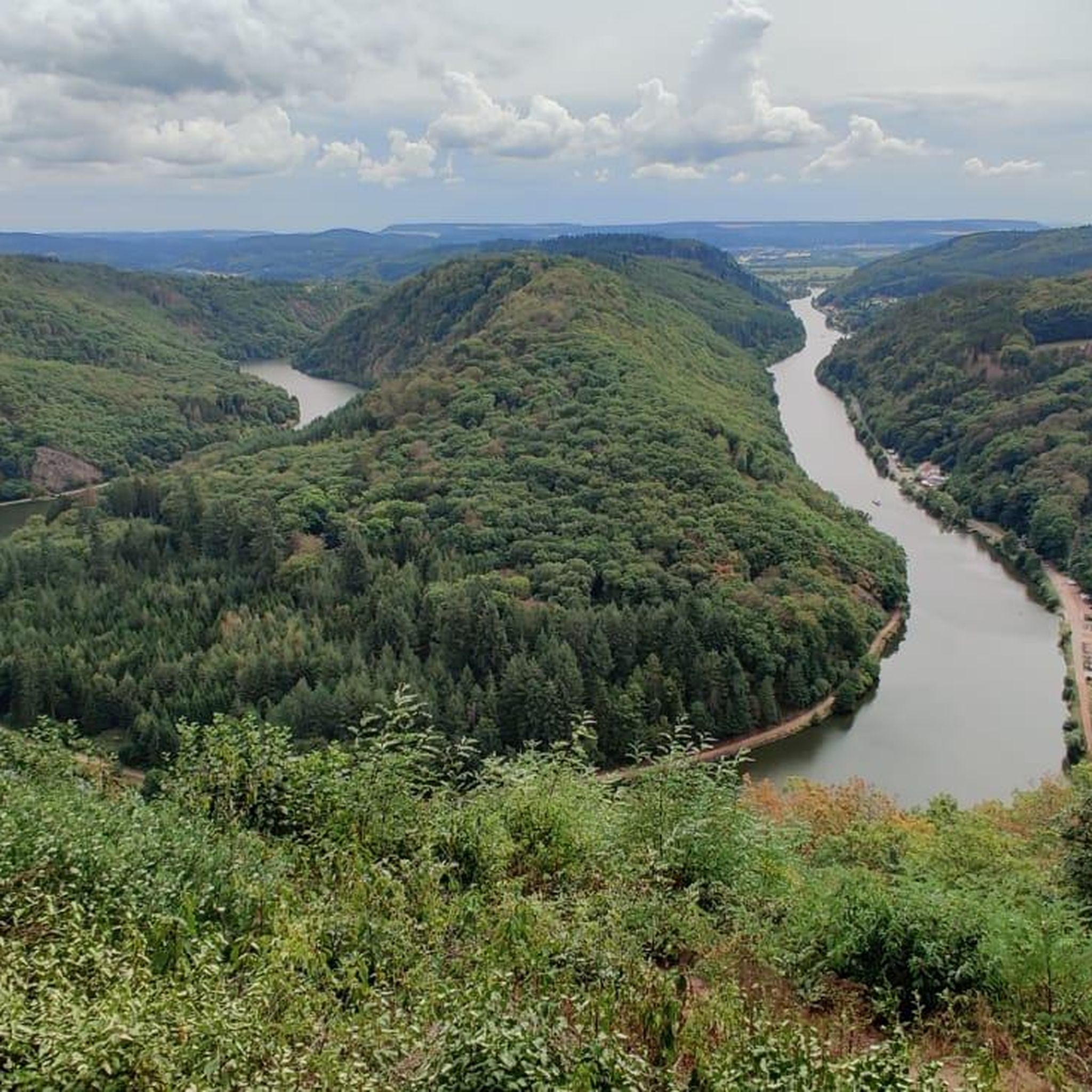
View of the Saarschleife from Cloef
Highlight • Viewpoint
Translated by Google •
Tip by

Saar Loop
Highlight (Segment) • Gorge
Translated by Google •
Tip by

Sign up now to discover places like this
Get recommendations on the best single tracks, peaks, & plenty of other exciting outdoor places.
Sign up for free
Saarschleife (Saar Loop)
Highlight • River
Down here you are practically at the apex of the Saarschleife and you can see …
Translated by Google •
Tip by

View of the Saar River and the Cloef Treetop Walk
Highlight • Viewpoint
Translated by Google •
Tip by

Unpaved Path Along the Saar River
Highlight (Segment) • Trail
Translated by Google •
Tip by

Sign up for free to discover even more natural monuments in Saarsteilhänge/ Lutwinuswald.
Sign up for free
Already have an account?
Start today with a free account
Your next adventure awaits.
Login or Signup
Popular around Saarsteilhänge/ Lutwinuswald

#GoFurther – discover the views of Germany!
Cycling in Saarsteilhänge/ Lutwinuswald
Running Trails in Saarsteilhänge/ Lutwinuswald
MTB Trails in Saarsteilhänge/ Lutwinuswald
Hiking in Saarsteilhänge/ Lutwinuswald
Road Cycling Routes in Saarsteilhänge/ Lutwinuswald
Gravel biking in Saarsteilhänge/ Lutwinuswald
Other adventures in Saarsteilhänge/ Lutwinuswald

Tips from the Community

The path is still easy to navigate and offers beautiful views of the Saar.
1
0

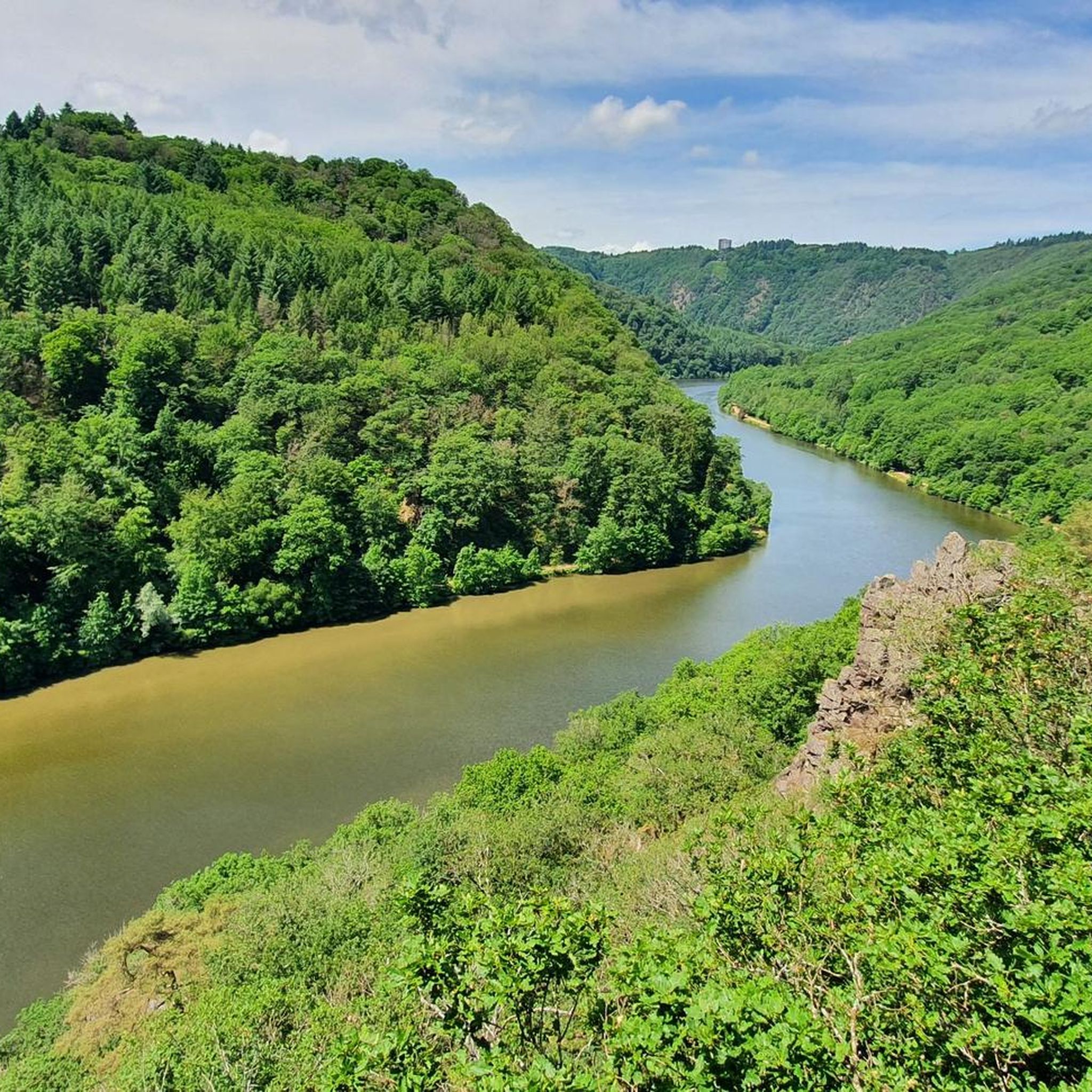
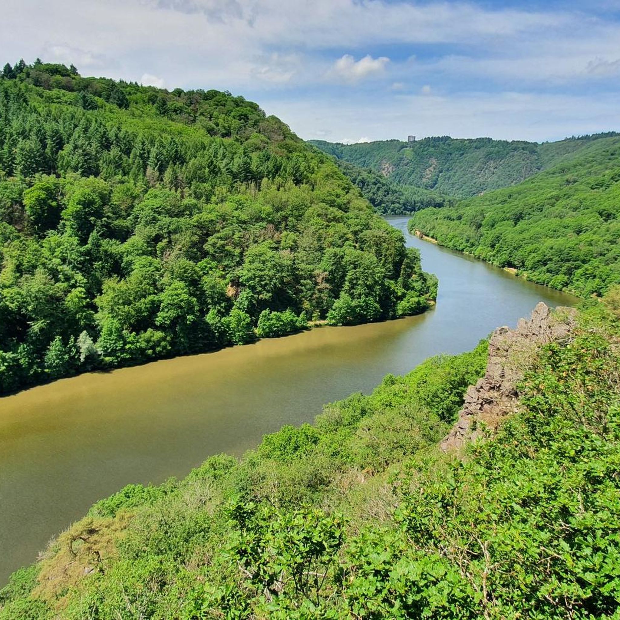
The Saarschleife is the symbol of Saarland and a little detour here is always worthwhile. Down here you are practically at the apex of the Saarschleife and you can see the Cloef viewing point and the treetop path above it towering above you.
1
0

The Saar loop is a spacious area. You can enjoy the beautiful landscape down by the Saar. But you can only see them in all their splendor from the Cloef, although you don't necessarily have to go on the treetop path.
6
1

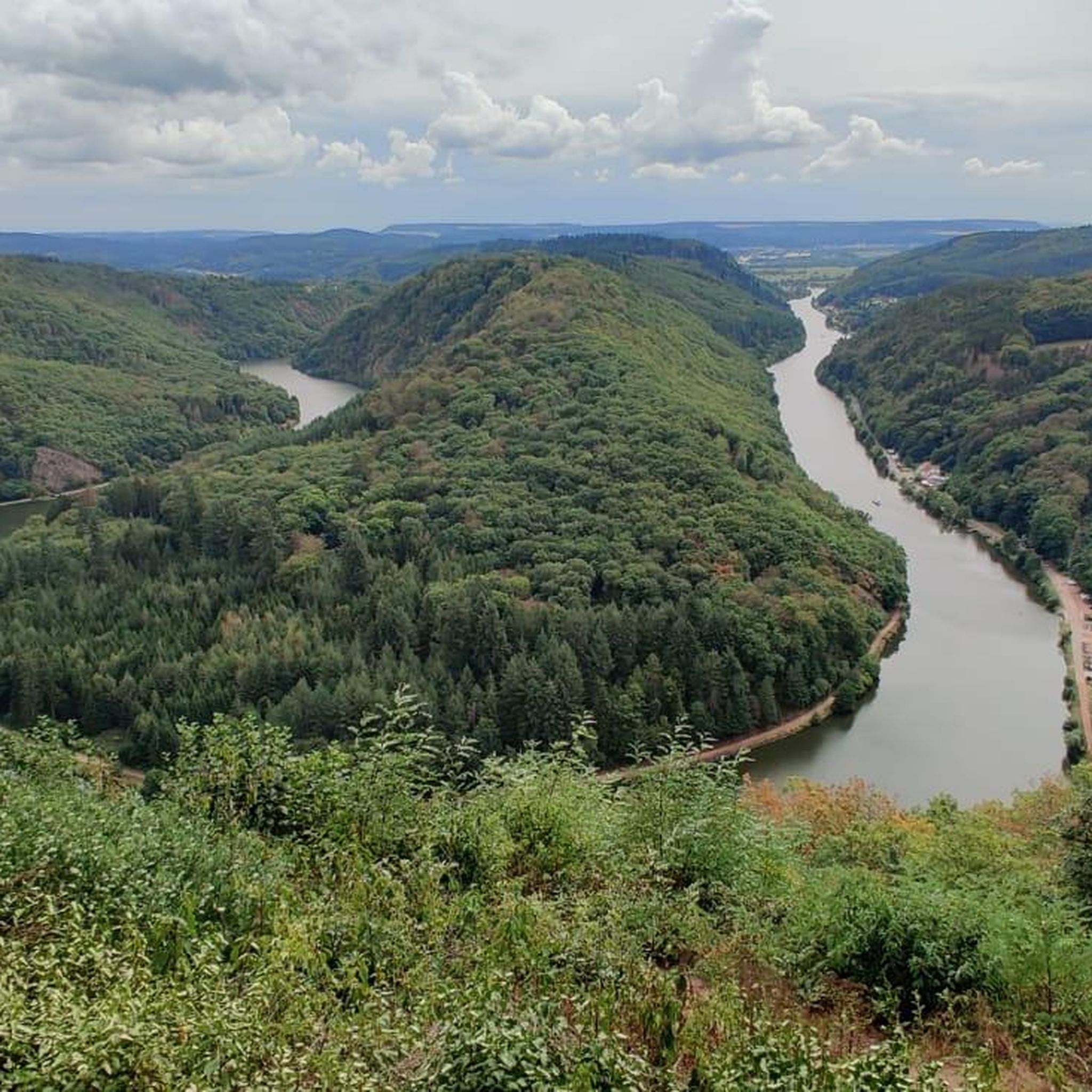
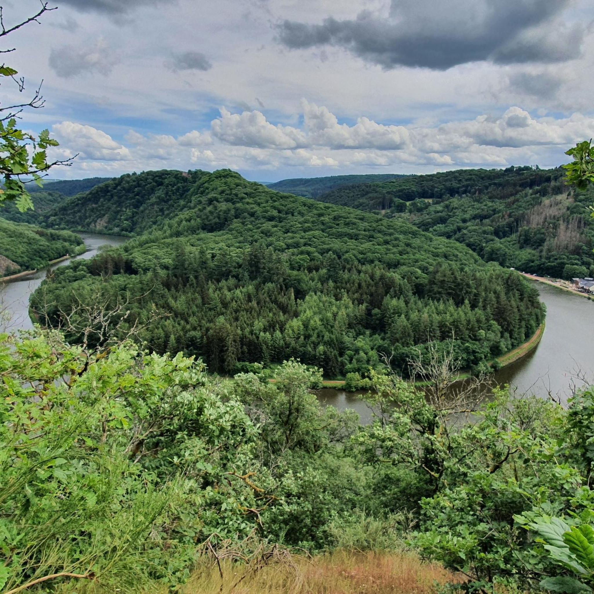
The pictures currently displayed first for this highlight do not show the Saar loop from the specified position, but from the vantage point on the opposite mountain. For this beautiful view you have to invest a few more meters in altitude than for the highlight marked here, so the photos are nice, but misleading for this highlight.
5
0

Very dusty in summer.
0
0
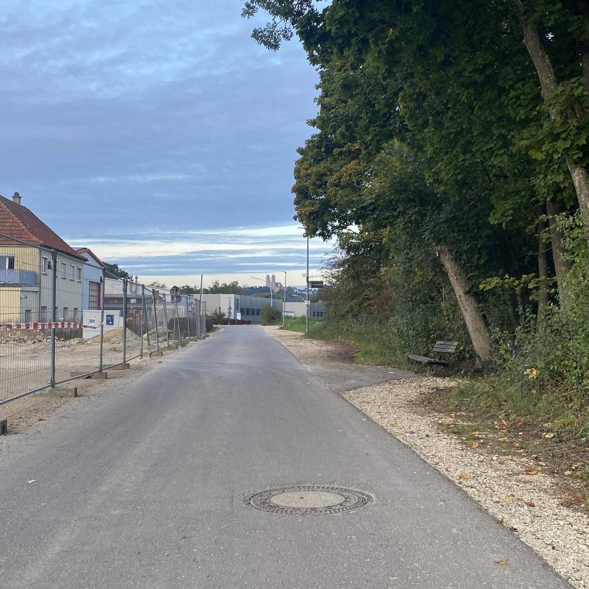
Even if the path is not paved, it is easy to drive. Except maybe after rain.
4
0

Impressive surroundings, cool view of the tower, especially if you have previously admired the Saar from up there.
4
0

Bird Rock Top Viewpoint
0
0
Frequently Asked Questions
What makes the natural monuments in Saarsteilhänge/Lutwinuswald unique?
The region is primarily defined by the dramatic Saar Loop, a spectacular river meander that carves a nearly 10-kilometer path through steep, forested hills. This iconic geological formation, where the Saar River has eroded through resistant rock layers, creates a breathtaking landscape. The area also features diverse forest environments and unique rock formations.
What are the best viewpoints for the Saarschleife?
The most famous vantage point is the View of the Saarschleife from Cloef, situated 180 meters above the river, offering a comprehensive perspective of the entire loop. For an elevated experience, the View of the Saar River and the Cloef Treetop Walk provides a unique perspective from an 800-meter long elevated walkway and a 42-meter high observation tower.
Are there any unique geological formations besides the Saarschleife?
Yes, the Seven Virgins Rock Formation is another notable geological feature. These rock formations are said to have formed during the development of the Saar Loop and are accompanied by a local legend.
Are the natural monuments in Saarsteilhänge/Lutwinuswald family-friendly?
Many areas are very family-friendly. The Cloef Treetop Walk, for instance, is designed with a maximum gradient of 6%, making it suitable for families with strollers and wheelchair users. The main viewpoints are also easily accessible.
What hiking opportunities are available around the Saarschleife?
Numerous marked trails lead to observation points and wind along both the inner and outer bends of the river. Popular routes include sections of the Saar-Hunsrück-Steig long-distance hiking trail and the Saarschleife Table Tour. You can find more detailed hiking routes in the region on the Running Trails in Saarsteilhänge/ Lutwinuswald guide, which also covers general walking paths.
Can I cycle near the natural monuments?
Yes, the region offers excellent cycling opportunities. The Unpaved Path Along the Saar River allows you to cycle directly along the shore through the deeply cut valley. For more options, explore the Gravel biking in Saarsteilhänge/ Lutwinuswald guide or the MTB Trails in Saarsteilhänge/ Lutwinuswald guide.
What is the best time of year to visit the natural monuments in Saarsteilhänge/Lutwinuswald?
The Saarschleife and surrounding natural monuments are beautiful at any time of year. Spring brings lush greenery and blooming flora, summer offers warm weather for outdoor activities, autumn showcases vibrant fall foliage, and winter can provide a serene, snow-covered landscape. The View of the Saar River and the Cloef Treetop Walk is particularly beautiful in the morning at sunrise.
Are there any historical sites near the natural monuments?
Yes, within the forested mountains of the Saarschleife, you can find historical sites such as the ruins of Montclair fortress and the former cloister church of St. Gangolf. These add a cultural and historical dimension to the natural landscape.
What do visitors particularly enjoy about the natural monuments in this region?
Visitors are consistently impressed by the absolutely impressive and fantastic nature, especially the breathtaking views of the Saarschleife from viewpoints like Cloef. The diverse opportunities for cycling and hiking along the river and through the forests are also highly appreciated.
How can I reach the natural monuments by public transport?
While specific public transport routes can vary, the region is generally accessible. For detailed and up-to-date information on bus and train connections to key points like Mettlach or Orscholz, it's best to check local public transport websites or services like visitsaarland.co.uk for planning your journey.
Where can I park when visiting the Saarschleife and its viewpoints?
There are designated parking areas available near the main attractions, such as the Cloef viewpoint and the Treetop Walk Saarschleife in Orscholz. These parking facilities are typically well-signposted to accommodate visitors.
Most popular routes in Saarsteilhänge/ Lutwinuswald
Most popular attractions in Saarsteilhänge/ Lutwinuswald

Get inspired with the komoot mobile app


Explore more
Extend your search for the best caves by checking out these guides of the top ones in Saarsteilhänge/ Lutwinuswald:
