Lsg "Ellertshäuser See"
Lsg "Ellertshäuser See"
Top 4 Natural Monuments in Lsg "Ellertshäuser See"
Best natural monuments in Lsg "Ellertshäuser See" are centered around the Ellertshäuser See, the largest artificial lake in Lower Franconia. This landscape protection area features the lake itself, extensive surrounding forests, and protected biotopes. The region offers a blend of natural landscapes and recreational opportunities, making it a notable destination for nature observation and walks.
Best natural monuments in Lsg "Ellertshäuser See"
- The most popular natural monuments is Lower Dam Area, Ellertshäuser Lake, a lake that offers a view…
Last updated: October 8, 2026
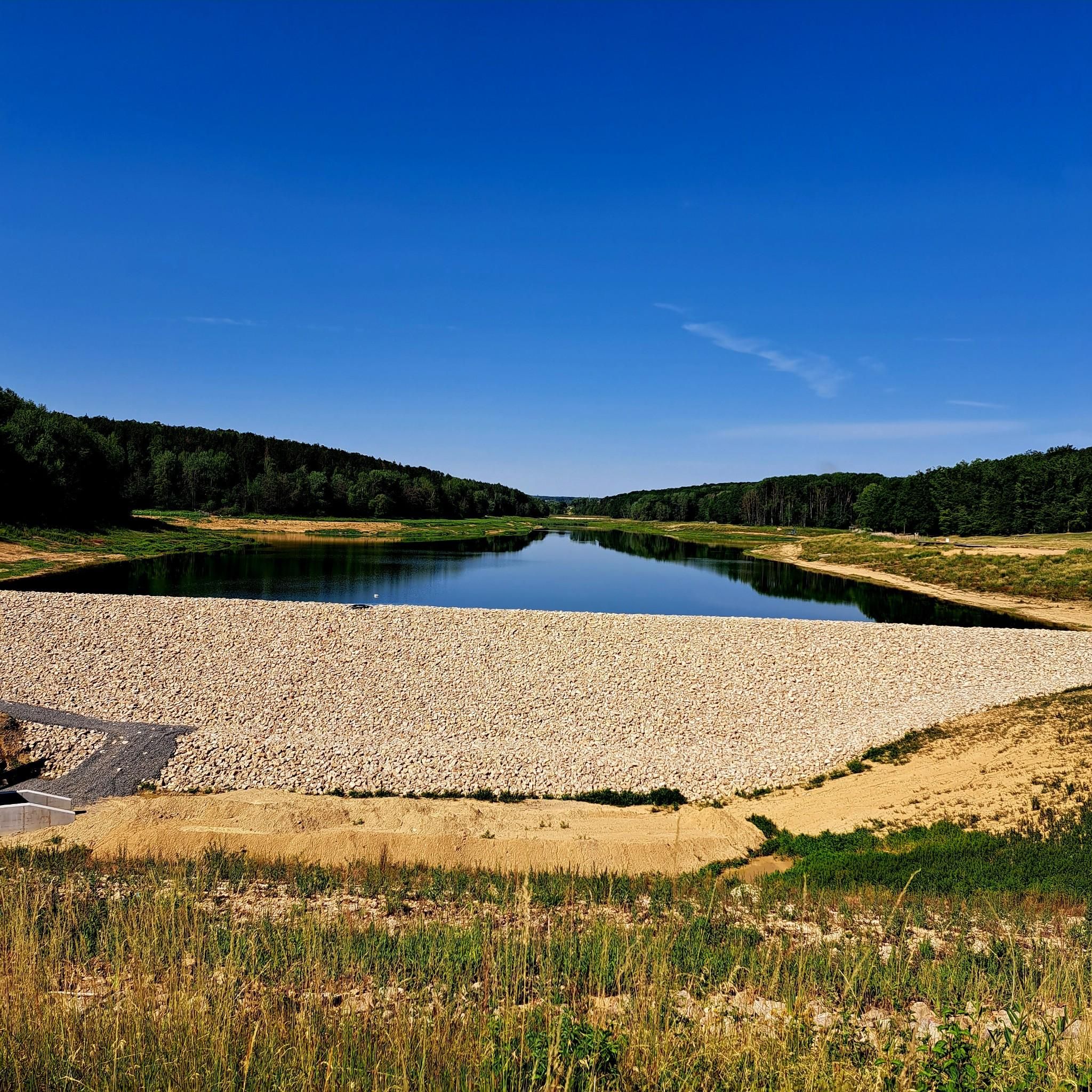
Lower Dam Area, Ellertshäuser Lake
Highlight • Lake
Translated by Google •
Tip by

Through the beautiful nature by the lake
Highlight (Segment) • Lake
Translated by Google •
Tip by
Sign up now to discover places like this
Get recommendations on the best single tracks, peaks, & plenty of other exciting outdoor places.
Waldbürgergang Memorial Rock
Highlight • Monument
Translated by Google •
Tip by

Reed Belt at Ellertshäuser See
Highlight • Natural
Translated by Google •
Tip by

Start today with a free account
Your next adventure awaits.
Popular around Lsg "Ellertshäuser See"
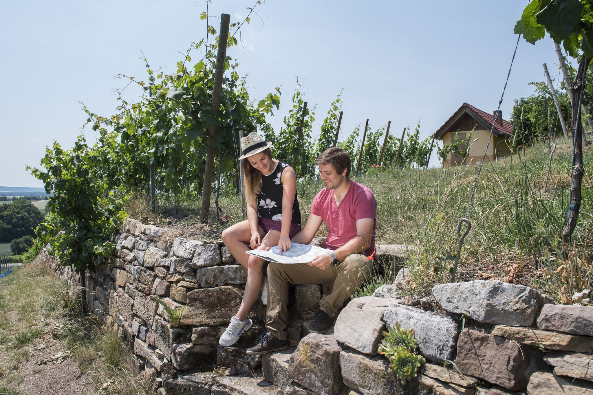
Vineyards, historic towns & forests – hiking through Schweinfurt in Bavaria
Road Cycling Routes in Lsg "Ellertshäuser See"
Hiking in Lsg "Ellertshäuser See"
Cycling in Lsg "Ellertshäuser See"
Running Trails in Lsg "Ellertshäuser See"
MTB Trails in Lsg "Ellertshäuser See"
Gravel biking in Lsg "Ellertshäuser See"
Other adventures in Lsg "Ellertshäuser See"

Tips from the Community

Mapillary sequence from January 26, 2025: https://www.mapillary.com/app/?lat=50.1420314&lng=10.3722627&z=19.841715181599962&pKey=598415562813094&focus=photo
0
0

Monument at the Lake of Forest Clearance
0
0
Circular hike always recommended.
2
0

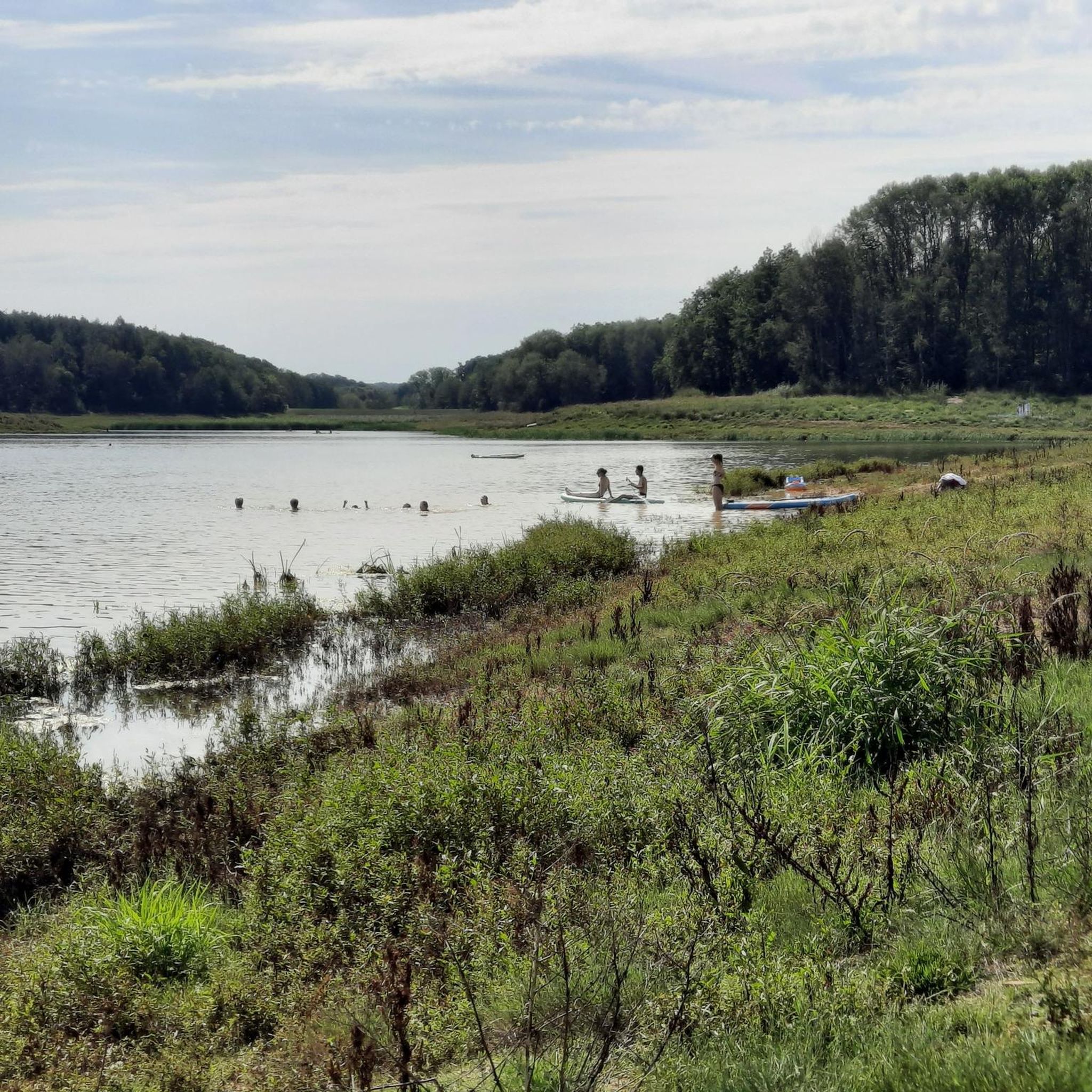
Current use The lake is now used as a local recreation area. Large parts are open for swimming, diving, sailing and fishing. The remaining areas are designed as biotopes and designated as nature reserves. Another use is as a water retention area, to prevent floods in spring during snowmelt and to supply the Sauerquellenbach with enough water during the dry periods in summer and autumn. The lake, with a total area of 33 hectares, is the largest reservoir in Unterfranken.[1] It is surrounded by forest all around. The circular path is 4.4 km long. Parts of the northern shore of the lake have sunbathing lawns, a sandy beach and swimming jetties. In 1983 and 2022, the lake was completely drained for renovation work. After a bottom outlet was built in 2022, the reservoir no longer needs to be completely emptied in case of renovation work. On September 22, 2022, the outlet was closed again, and the filling of the lake with rainwater and snow is expected to be completed by spring 2024. https://de.wikipedia.org/wiki/Ellertsh%C3%A4user_See
9
1

An information sign at this point describes the habitat that a reed landscape offers for animals.
6
0
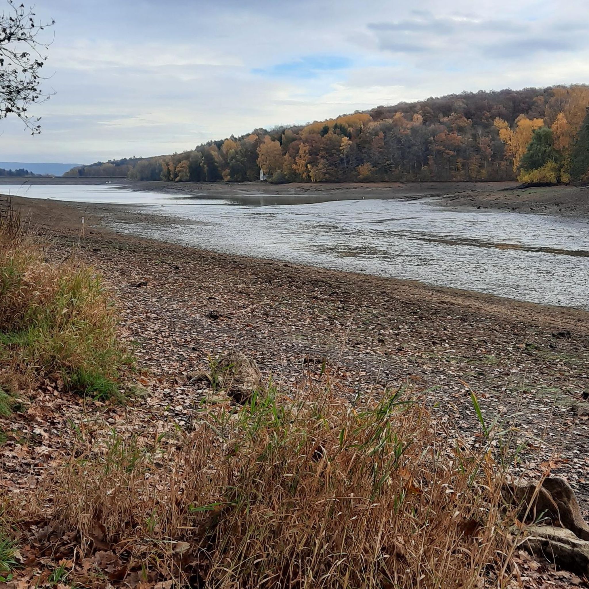
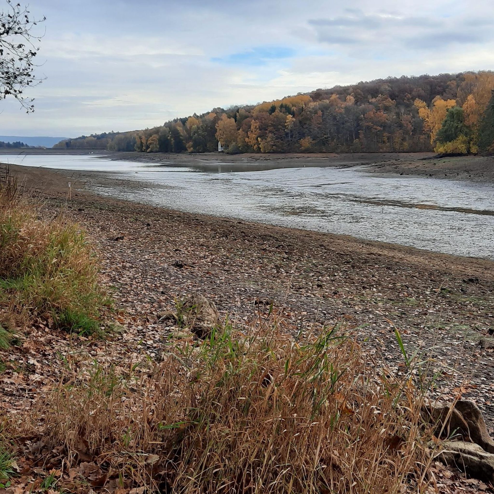
The Ellertshäuser See during the dam repair, March 2023
6
2

The lake is currently without water. Dredgers are still working the banks. Perhaps the flooding of the lake can begin in 2023.
6
1

It is interesting to follow the construction progress
5
1
Frequently Asked Questions
What are the main natural features to explore in Lsg "Ellertshäuser See"?
The Lsg "Ellertshäuser See" region is centered around the Ellertshäuser See, the largest artificial lake in Lower Franconia. Key natural features include the lake itself, extensive surrounding forests with natural paths like "Through the beautiful nature by the lake", and ecologically valuable areas such as the "Reed Belt at Ellertshäuser See" which is a designated natural monument and biotope.
Are there easy walking trails around the natural monuments?
Yes, the area offers several pleasant walking trails. The circular route around the Ellertshäuser See is approximately 4.4 km long and features "Through the beautiful nature by the lake" paths that are mostly natural and shady. For family-friendly options, you can find easy routes like the 2.8 km loop from the "Reed Belt at Ellertshäuser See" to the water playground, as detailed in the Family-friendly hikes in Lsg "Ellertshäuser See" guide.
Can I bring my dog to the natural monuments in Lsg "Ellertshäuser See"?
Yes, the natural areas around Ellertshäuser See are generally dog-friendly. However, it's important to note that dogs must be kept on a leash around the lake, especially near protected areas like the "Ellertshäuser See Nature Biotope" to protect local wildlife, particularly breeding birds.
What are the best viewpoints to experience the natural beauty of the region?
For stunning panoramic views of the lake and its surroundings, visit the "Lower Dam Area, Ellertshäuser Lake". This spot offers a wonderful perspective of the reservoir and the protected landscape. Another excellent vantage point is the general "View of Ellertshäuser Lake" highlight, which allows you to appreciate the expanse of this significant body of water in Lower Franconia.
Is the Ellertshäuser See suitable for swimming or other water activities?
Yes, the Ellertshäuser See is a popular recreational area. Large parts of the lake are open for swimming, diving, sailing, and fishing. There are designated sunbathing areas, a sandy beach, and bathing jetties on the north shore. However, some areas are designated as biotopes and nature reserves, like the "Ellertshäuser See Nature Biotope", which are not permitted for entry to protect wildlife.
When is the best time of year to visit the natural monuments in Lsg "Ellertshäuser See"?
The Ellertshäuser See region is enjoyable year-round, but the spring and summer months are ideal for water activities and enjoying the lush forests. Autumn offers beautiful foliage, while winter can provide serene, quiet walks, though some facilities might have reduced hours. Be aware that the lake was undergoing renovation work and refilling, expected to be completed by spring 2024, so check local updates for full accessibility to water activities.
Are there family-friendly activities or natural monuments suitable for children?
Absolutely. The Ellertshäuser See area is very family-friendly. The lake itself offers swimming and a sandy beach. The easy circular paths around the lake, such as "Through the beautiful nature by the lake", are perfect for walks with children. There are also specific family-friendly routes, including those leading to a water playground, as highlighted in the Family-friendly hikes in Lsg "Ellertshäuser See" guide.
Where can I park when visiting the natural monuments around Ellertshäuser See?
While specific parking locations are not detailed in the provided data, as a popular recreational area, the Ellertshäuser See typically has designated parking facilities available for visitors. It is advisable to look for official parking areas near the main access points to the lake and its trails.
What kind of outdoor activities, besides hiking, can I do near the natural monuments?
Beyond hiking, the Lsg "Ellertshäuser See" region is excellent for cycling. You can find various routes for gravel biking, such as those detailed in the Gravel biking in Lsg "Ellertshäuser See" guide, and traffic-free bike rides, including loops from Ellertshäuser See to Mainberg Castle, available in the Traffic-free bike rides in Lsg "Ellertshäuser See" guide. Water sports like swimming, diving, sailing, and fishing are also popular on the lake.
What makes the Reed Belt at Ellertshäuser See a significant natural monument?
The "Reed Belt at Ellertshäuser See" is a crucial ecological zone designated as a natural monument. Reed belts are vital habitats for various plant and animal species, especially birds and aquatic life. An information sign at this point often describes the rich biodiversity and ecological importance of this landscape for the local ecosystem.
What should I know about the current status of Ellertshäuser See?
The Ellertshäuser See underwent significant renovation work, including being completely drained in 2022. After a ground closure was built, the lake began refilling with rainwater and snow, with completion expected by spring 2024. While some areas might still be affected by ongoing work, the lake is gradually returning to its full capacity, and recreational activities are resuming.
Are there any circular walks that include the natural monuments?
Yes, the most prominent circular walk is the 4.4 km route that encircles the Ellertshäuser See. This path takes you through beautiful natural scenery, offering frequent views of the lake and passing by areas like the "Reed Belt at Ellertshäuser See" and various viewpoints. Many of the hiking routes in the area are designed as loops, providing comprehensive exploration.
Most popular routes in Lsg "Ellertshäuser See"
Most popular attractions in Lsg "Ellertshäuser See"

Get inspired with the komoot mobile app


Explore more
Extend your search for the best caves by checking out these guides of the top ones in Lsg "Ellertshäuser See":
