Top 8 Natural Monuments around Penrhiwceiber
Best natural monuments around Penrhiwceiber are found within a landscape shaped by natural geology and industrial heritage in the Cynon Valley. The area features notable natural attractions accessible via an extensive network of hiking trails. These trails provide opportunities to explore steep valley slopes, woodlands, and discover local natural features. The region showcases a blend of natural recovery and historical land use.
Best natural monuments around Penrhiwceiber
- The most popular natural monument is Tarren y Bwllfa, a viewpoint that…
Last updated: July 1, 2026
Giant's Bite
Highlight • Viewpoint
Tip by

Cefn Eglwysilan Trig Point
Highlight • Natural Monument
Tip by

Sign up now to discover places like this
Get recommendations on the best single tracks, peaks, & plenty of other exciting outdoor places.
Sign up for free
The Rocking Stone and the Gorsedd Circle
Highlight • Historical Site
Tip by

Taf Fechan Local Nature Reserve
Highlight • Gorge
Tip by
Tarren y Bwllfa
Highlight • Viewpoint
Stunning views of the Brecon Beacons and the former industrial landscape nearby.
Tip by

Sign up for free to discover even more natural monuments around Penrhiwceiber.
Sign up for free
Already have an account?
Start today with a free account
Your next adventure awaits.
Login or Signup

Tips from the Community

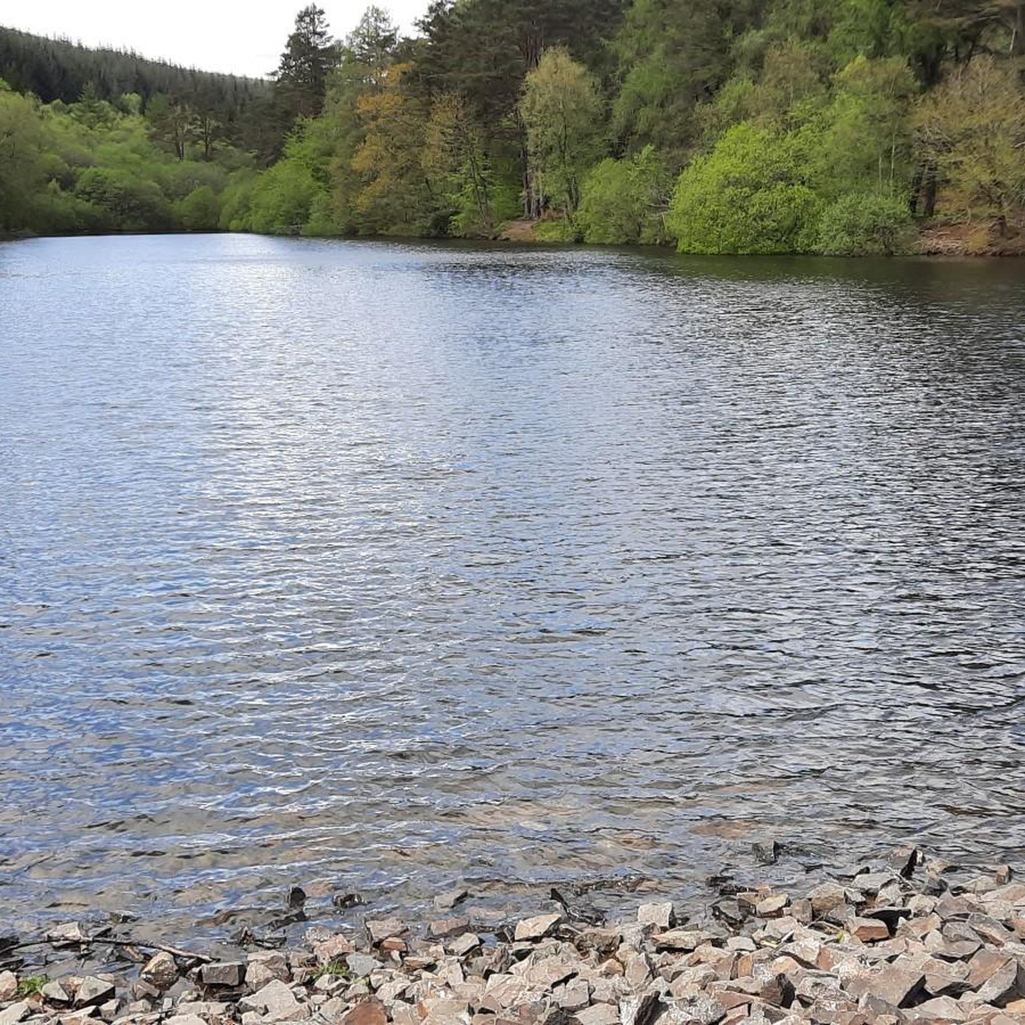
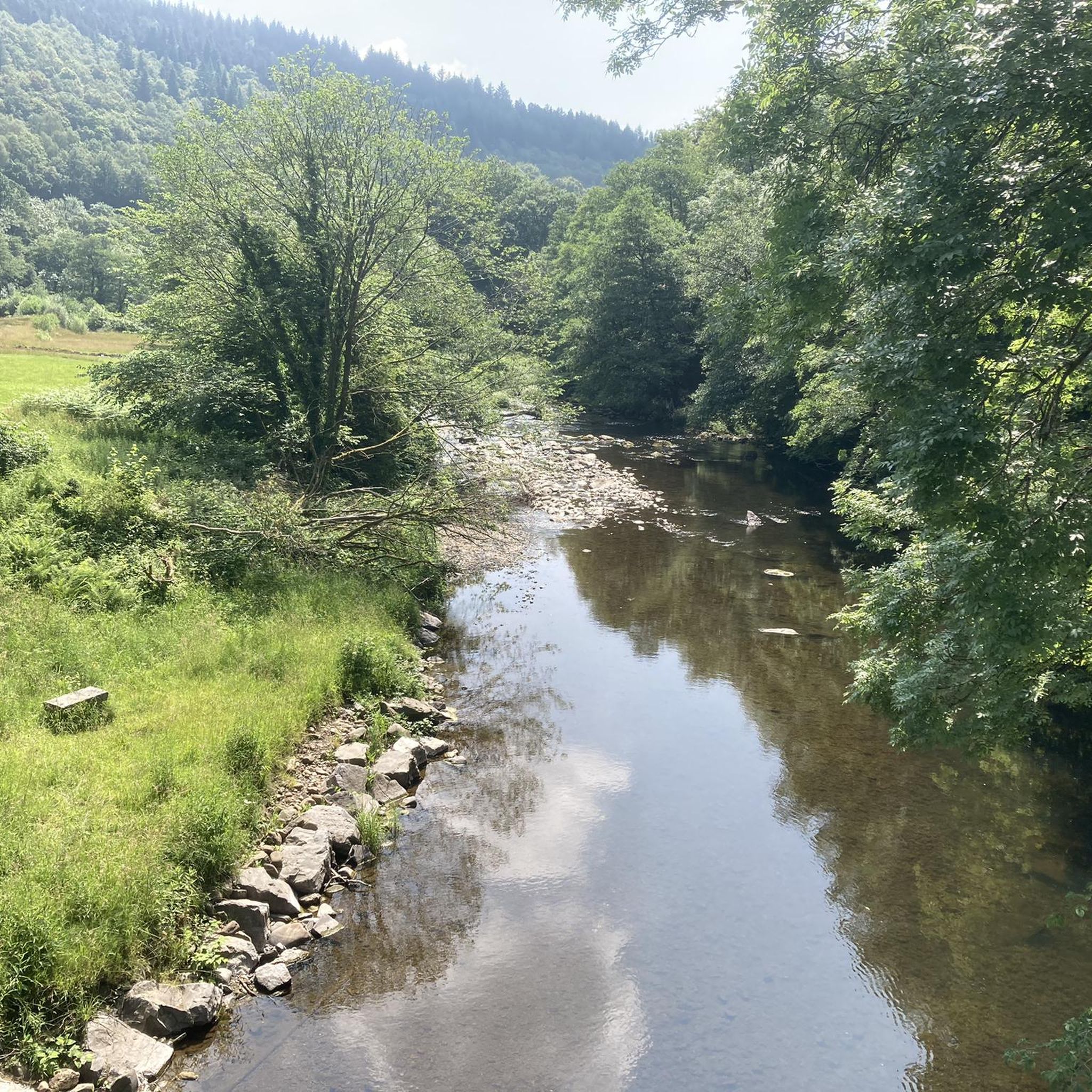
Ancient broadleaved woodlands, calcareous grasslands, river, and cliffs. Part of the Cwm Taff Fechan Woodlands SSSI, and a Local Nature Reserve. Taf Fechan LNR comprises about 2.5 km of river with steep valley sides of Carboniferous limestone. The river has eroded the limestone into a narrow gorge in the centre of the site. A mosaic of deciduous woodland on the slopes with a canopy of Beech, Birch and Ash, gives way to Alder and Grey Willow closer to the river, together with Hawthorn scrub, calcareous grassland, heathland, wet flushes, and tufa formations. The valley is one of the best recorded sites for bryophytes in Glamorgan. Please note that the river next to the Gurnos quarry may contain unseen hazards and as a result the Trust does not consider the site suitable for wild swimming or play.
1
1
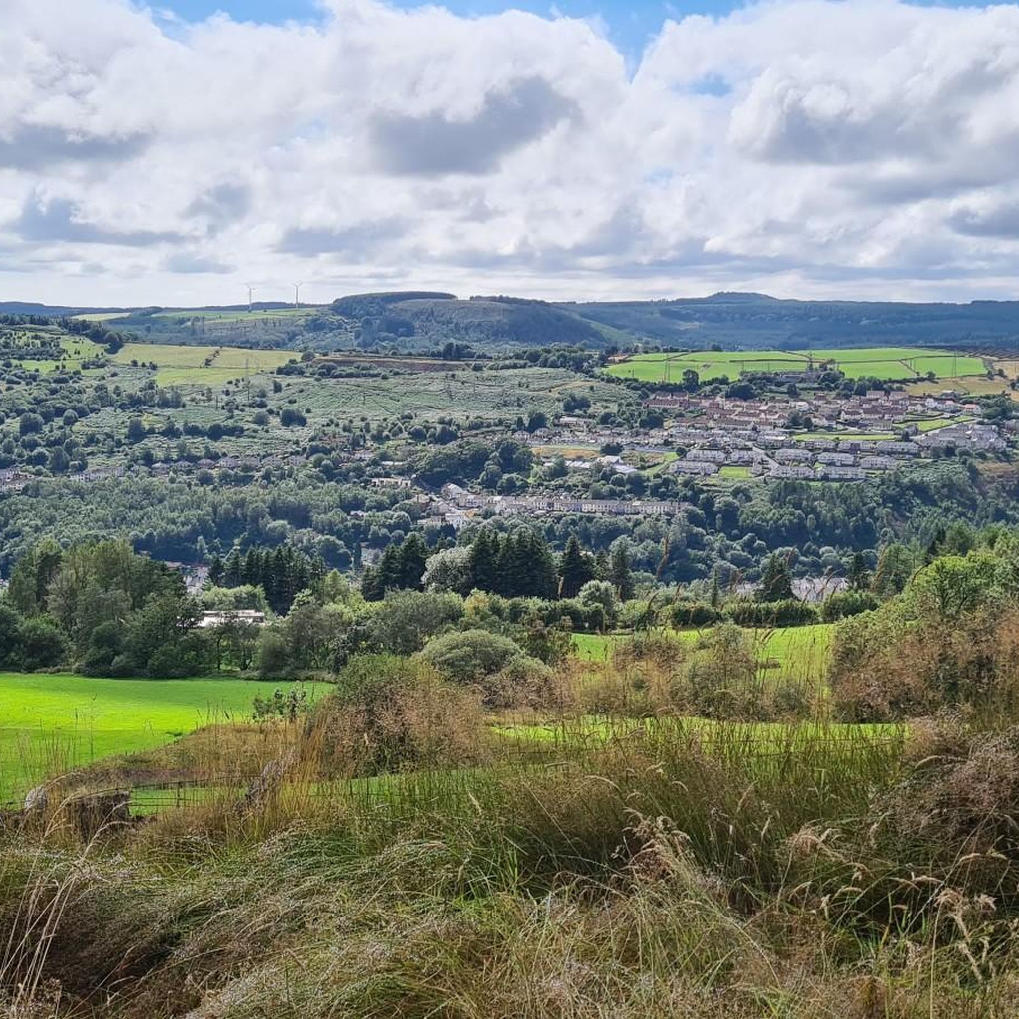
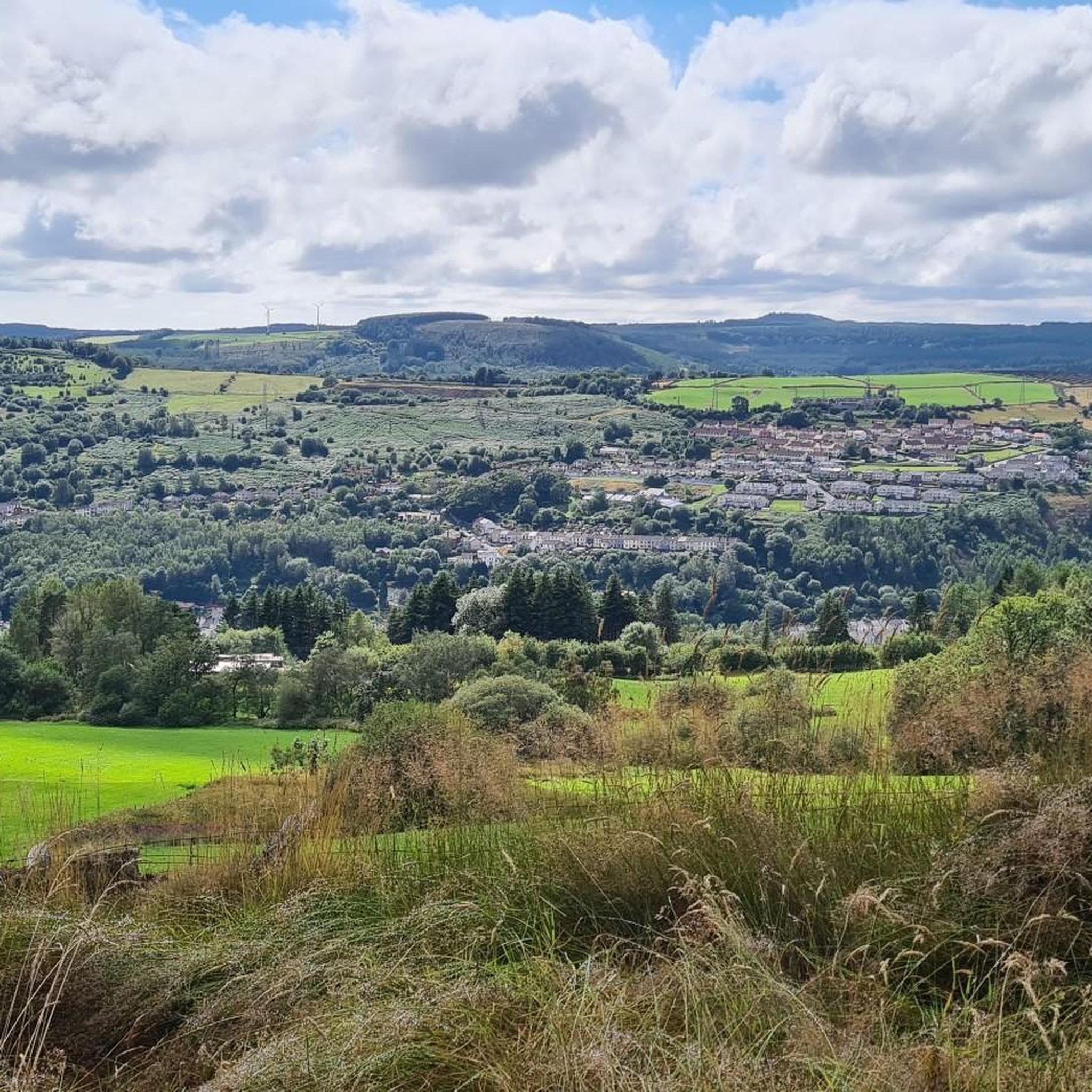
High above the A470 to the north of Quaker’s Yard, the Giant’s Bite is a dramatic gap in the skyline quarried from the ridge top at the former Cefn Glas mine and quarry. ❤️👌 The site was intensively grazed up to the mid-1990s when a large belt of native trees were planted on the lower slopes. These trees are now maturing and have helped to heal the visible mining scares. The shales forming the upper soil horizons support a wide variety of native flowering grassland species including wild strawberry, cowslip, foxglove and wild thyme, and the site is increasingly becoming re-vegetated by scrub species. Incredibly Fine views of the Taff and Cynon valleys are afforded from the summit ridge, while the line of the former Glamorganshire Canal is also discernible.
1
0

Wow! Tarren y Bwllfa looms large over the valley below. It is one of Britain's most Southerly glacial cwms. Stunning views of the Brecon Beacons and the former industrial landscape nearby.
3
0

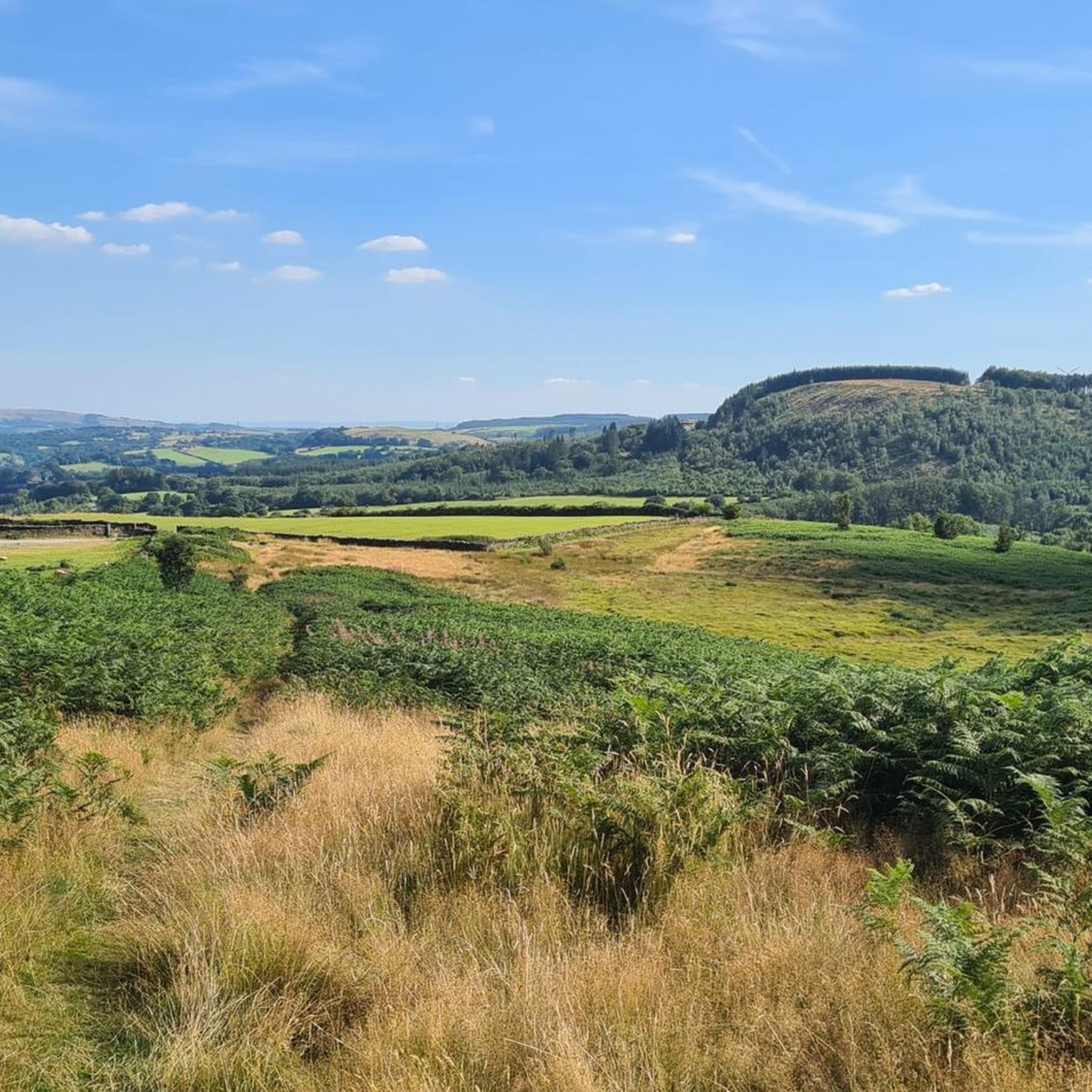
Cefn Eglwysilan is a hill in South Wales, the twin 1,253 feet (382 m) summits of which lie just over one mile (2 km) east of Pontypridd in Rhondda Cynon Taf county borough. Its eastern side lies within the community of Aber Valley in Caerphilly county borough. Like neighbouring Mynydd Eglwysilan, the hill is named after the hamlet of Eglwysilan, the church here being dedicated to an obscure saint Ilan. A wireless transmission station is sited on the more northerly of the two summits (at OS grid ref ST 099911). The southerly one is crowned by a trig point. It is a UK listed Marilyn.
3
0

The Rocking Stone or "Y Maen Chwyf" in Welsh is a glacial boulder remaining from the Ice Age. It formed the central point for a "Gorsedd" or "Gathering of Bards" in 1814, which was organised by stonemason, Edward Williams, known as "Iolo Morganwg". The Gorsedd Circle of smaller stones was constructed in 1849 by Evan Davies, Bardic name "Myfyr Morganwg" and has often been used for Bardic gatherings, and as a focal point for other public occasions.
1
0

The Rocking Stone ('Y Maen Chwyf' in Welsh) is a glacial boulder left over from when ice sheets covered these lands. The stone circle that surrounds the stone was constructed in 1849 by Evan Davies. The site has often been used for Bardic gatherings and public events.
2
0

The Rocking Stone or “Y Maen Chwyf” in Welsh is a glacial boulder dating back to the Ice Age. It was a focal point of the “Gathering of Bards” organised by stonemason Edward Williams in 1814.
2
0

The Rocking Stone in Pontypridd is set within the middle of a fake Druidic stone circle, it's not prehistoric.
1
0
Frequently Asked Questions
What are some notable natural features around Penrhiwceiber?
The landscape around Penrhiwceiber, shaped by its geology and industrial past, offers several natural attractions. You can explore the dramatic gap of Giant's Bite, a site undergoing natural regeneration, or visit Tarren y Bwllfa, one of Britain's most southerly glacial cwms with stunning views. Another significant spot is Cefn Eglwysilan Trig Point, a hill with twin summits offering panoramic vistas.
What kind of landscape can I expect to see when visiting Penrhiwceiber?
You can expect a diverse landscape featuring steep valley slopes, regenerating woodlands, and remnants of the area's industrial heritage. The region showcases a blend of natural recovery and historical land use, with features like glacial cwms and dramatic skyline gaps. Penrhiwceiber Woods, though impacted by industrialization, still offer serene natural environments along various trails.
What is the best time to visit Penrhiwceiber for exploring its natural monuments?
The natural monuments and trails around Penrhiwceiber can be enjoyed throughout the year. Spring and summer offer lush greenery and blooming wildflowers, while autumn brings vibrant colors to the regenerating woodlands. Winter walks can also be rewarding, offering a different perspective of the rugged beauty, though some trails might be more challenging.
Are there family-friendly natural monuments or walks in the area?
Yes, there are several options suitable for families. The Rocking Stone and the Gorsedd Circle is a family-friendly historical site that is also a natural monument. For walks, the Waterfall loop from Stanleytown is a pleasant 4.0-mile (6.4 km) trail through the valley, often completed in under two hours, making it suitable for families.
Can I bring my dog to the natural monuments and trails?
Many of the trails and natural areas around Penrhiwceiber are dog-friendly, including the Gillies Trail Waterfall loop. It's always recommended to keep dogs on a lead, especially in areas with livestock or sensitive wildlife, and to clean up after them to preserve the natural environment for everyone.
Where can I find impressive waterfalls near Penrhiwceiber?
The Gillies Trail Waterfall, near Mountain Ash, is a notable natural feature accessible via a moderate 4.1-mile (6.6 km) loop trail. Another option is the Waterfall loop from Stanleytown, a 4.0-mile (6.4 km) trail that features a waterfall as a key attraction within the Cynon Valley's natural surroundings.
Are there any historical natural monuments in the region?
Yes, The Rocking Stone and the Gorsedd Circle is a significant historical natural monument. The Rocking Stone, or “Y Maen Chwyf,” is a glacial boulder from the Ice Age, which became a focal point for Bardic gatherings. The Gorsedd Circle of smaller stones was constructed around it in 1849.
What kind of wildlife can I spot around Penrhiwceiber's natural monuments?
The diverse habitats around Penrhiwceiber offer opportunities for wildlife spotting. Along river trails like the Gillies Trail Waterfall, you might spot local wildlife. Areas like Taf Fechan Local Nature Reserve, with its ancient woodlands, calcareous grasslands, and river, are known for a wide variety of native flowering grassland species and are one of the best recorded sites for bryophytes in Glamorgan.
What outdoor activities are available near Penrhiwceiber's natural monuments?
The area is excellent for outdoor recreation, primarily hiking and cycling. You can find numerous trails for walking, mountain biking, and gravel biking. For hiking, explore options like the easy hikes around Penrhiwceiber. Mountain biking enthusiasts can check out the MTB trails around Penrhiwceiber, while gravel bikers have options in the gravel biking guide.
Are there easy hiking trails to explore the natural features?
Yes, there are several easy hiking trails. The "Giant's Bite and Taff Trail Loop" is an easy 6.99 km route. Another accessible option is the "Nant Glydach Reservoir and Dam – Waterfall loop from Llanwonno," which is 6.53 km. These trails provide a great way to experience the natural beauty without strenuous effort. You can find more options in the easy hikes around Penrhiwceiber guide.
What do visitors particularly enjoy about the natural monuments around Penrhiwceiber?
Visitors appreciate the stunning panoramic views, such as those from Tarren y Bwllfa and Cefn Eglwysilan Trig Point. The blend of natural beauty with the region's industrial history, as seen at Giant's Bite, is also a significant draw. The extensive network of hiking trails allows for exploration of steep valley slopes, woodlands, and hidden natural gems.
How can I reach the natural monuments and trails by public transport?
Penrhiwceiber is located in the Cynon Valley, which has public transport links. While specific routes to trailheads may vary, local bus services often connect to towns like Mountain Ash and Stanleytown, from where many trails begin. It's advisable to check local bus schedules for the most up-to-date information on reaching specific starting points.
Where can I find parking for these natural attractions?
Parking availability varies by location. For popular trailheads like those leading to the Gillies Trail Waterfall or the Waterfall loop from Stanleytown, you can often find roadside parking or designated small car parks in nearby villages or towns. For more remote spots, parking might be limited, so planning ahead is recommended.
Most popular attractions around Penrhiwceiber

Get inspired with the komoot mobile app


Explore more
Extend your search for the best caves by checking out these guides of the top ones around Penrhiwceiber:
