Top 5 Mountain Passes around Llanelidan
Best mountain passes around Llanelidan are found within a region characterized by mountainous terrain, offering elevated routes and scenic vistas. Llanelidan, a village in Denbighshire, Wales, is situated in the valley of Afon y Maes. The area is part of the Clwydian Range and the wider Berwyn Range, which includes several notable peaks and challenging trails. This landscape provides opportunities for hiking and cycling.
Best mountain passes around Llanelidan
- The most popular mountain passes is Horseshoe Pass (Bwlch yr Oernant)…
Last updated: August 11, 2026
Horseshoe Pass (Bwlch yr Oernant) Climb from Llangollen
Highlight (Segment) • Mountain Pass
Tip by

Bwlch Penbarras Climb from Llanbedr-Dyffryn-Clwyd
Highlight (Segment) • Viewpoint
Translated by Google •
Tip by

Sign up now to discover places like this
Get recommendations on the best single tracks, peaks, & plenty of other exciting outdoor places.
Sign up for free
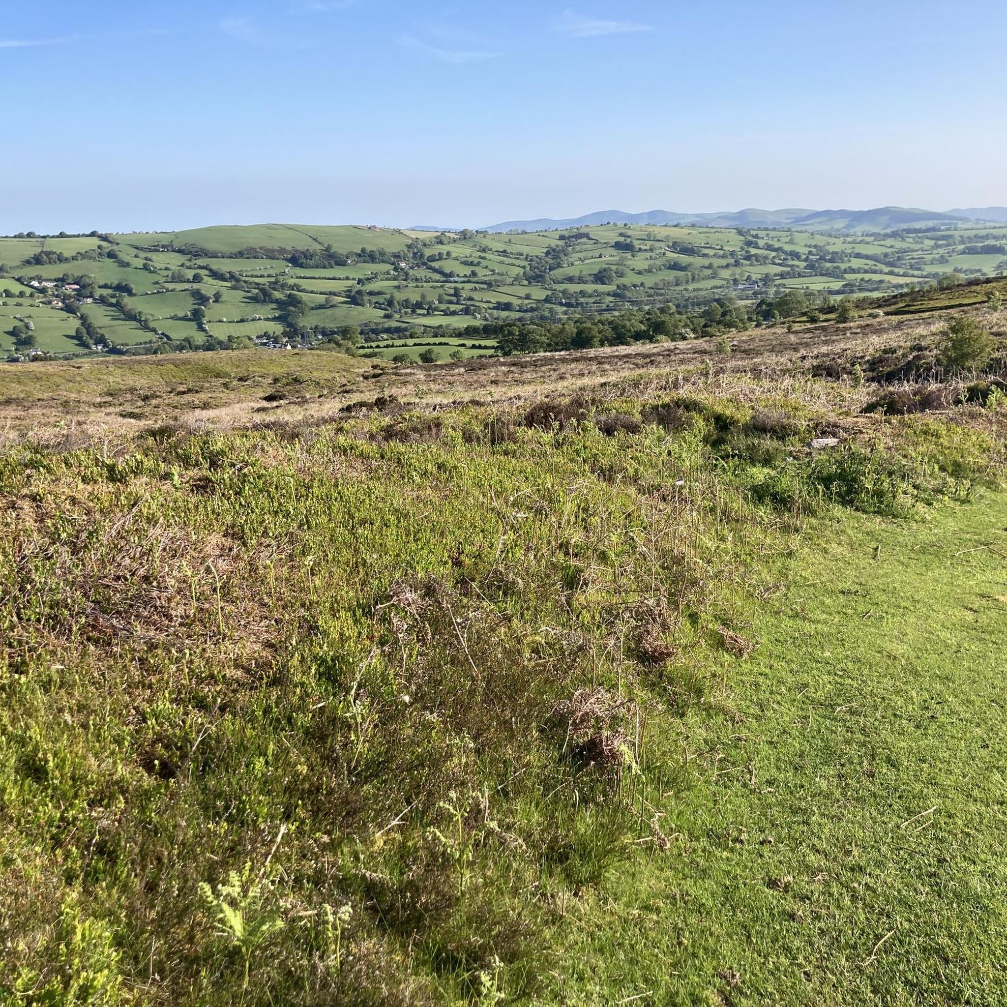
View from Bwlch Penbarras
Highlight • Climb
Tip by

Wayfarer Pass — Off‑Road Section
Highlight (Segment) • Trail
Tip by

Start today with a free account
Your next adventure awaits.
Login or Signup
Tips from the Community

Savage climb for which I’d recommend at least a 32t on rear. Oh and not doing it on a loaded bike😫 But what a view! And very few cars. Always a bonus. Relatively narrow tarmac. Bit gravelly nearer the bottom but gets smooth and dry once above the trees.
0
0

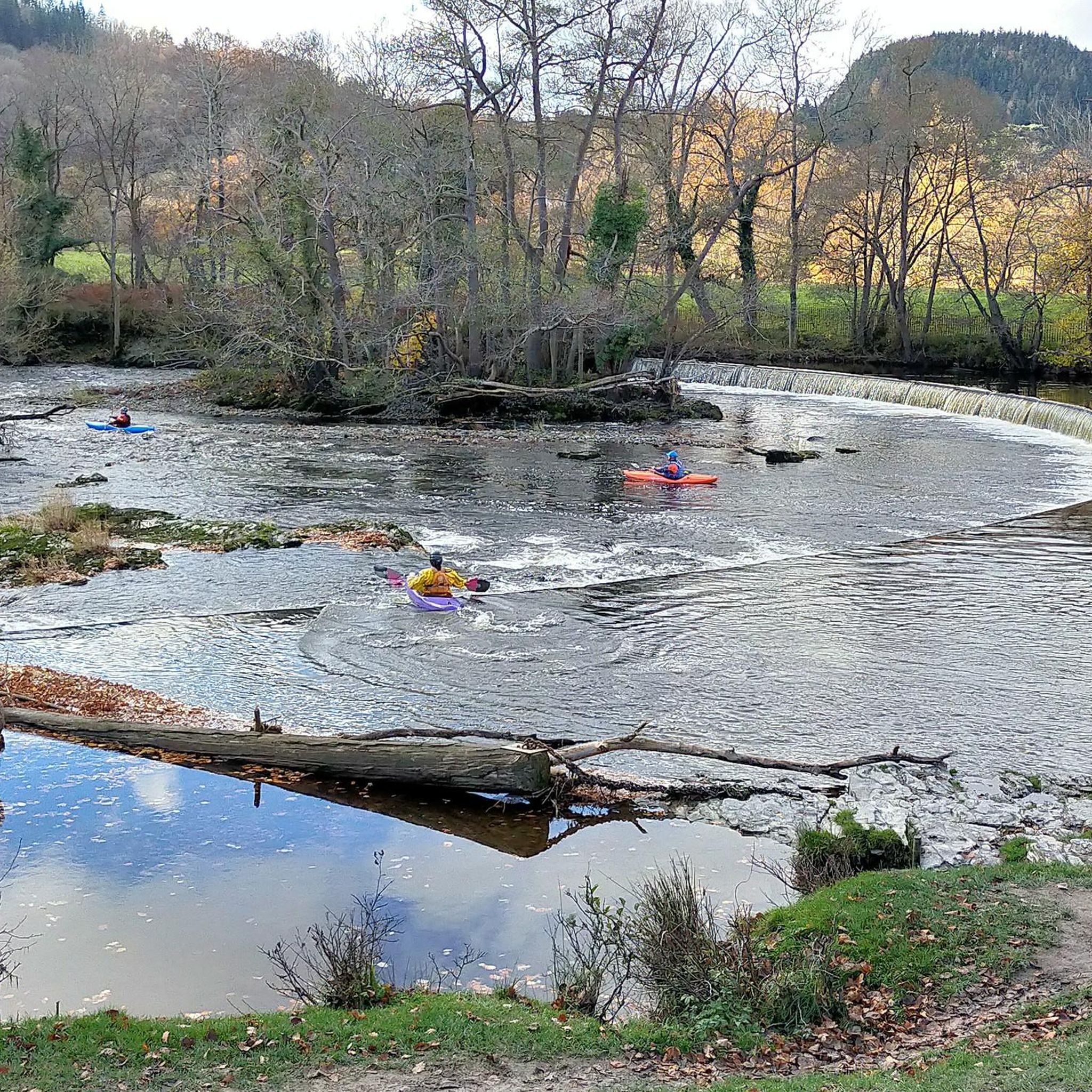
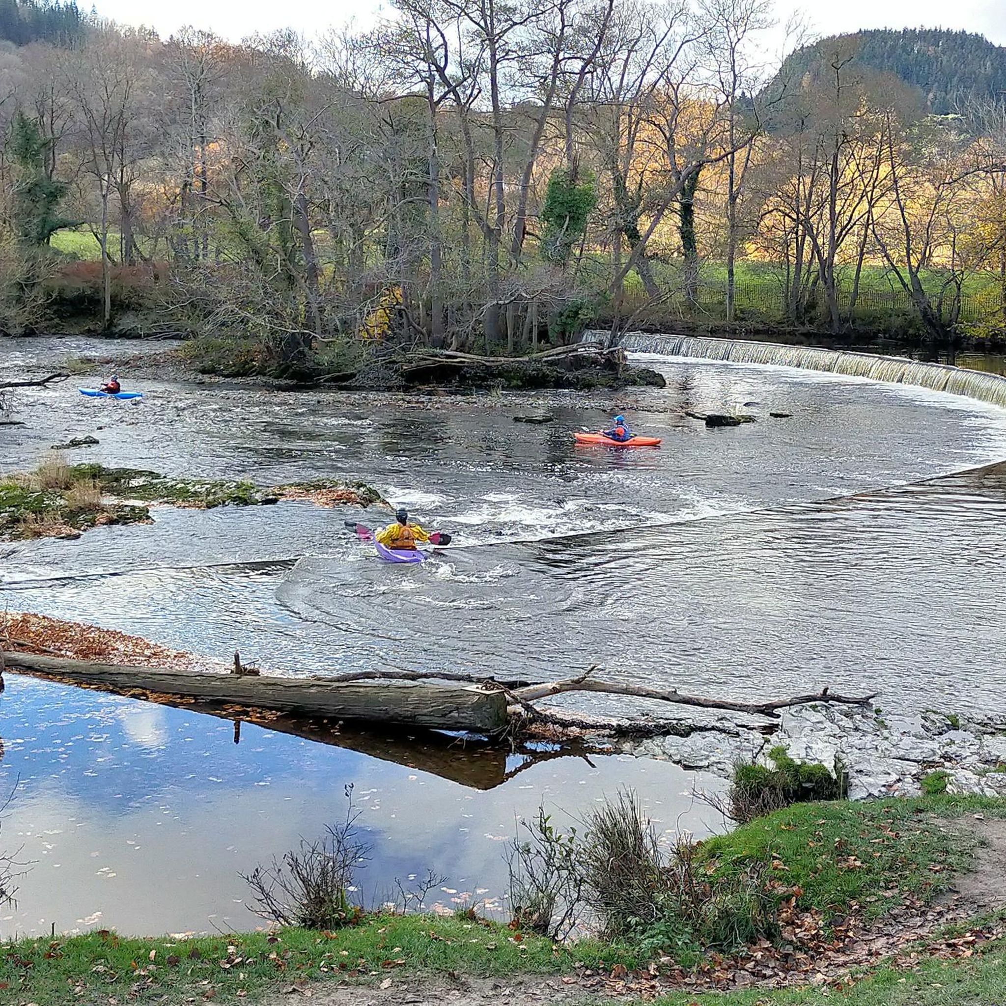
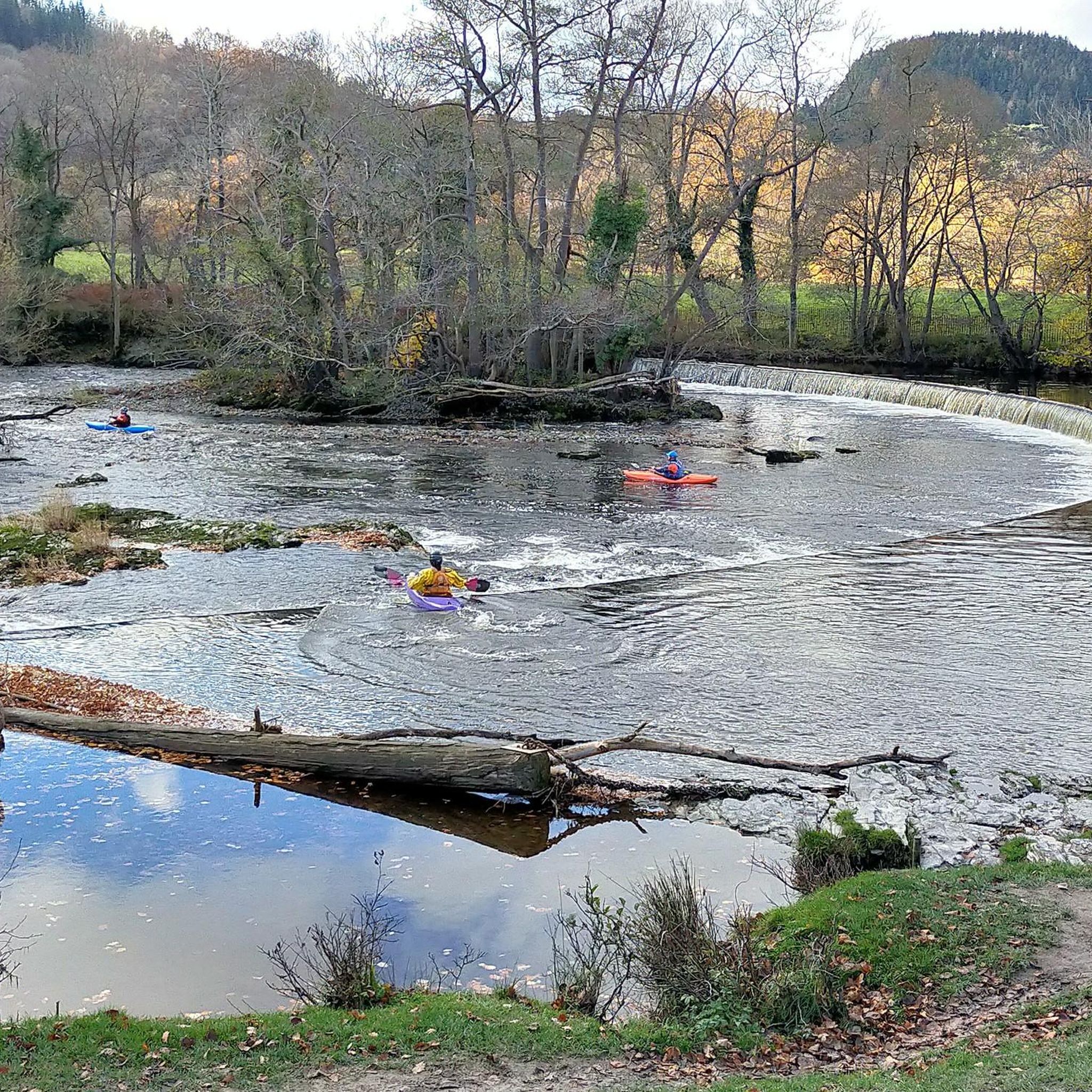
Be prepared for a good hour's hike-a-bike over football-sized gravel, with parts submerged under deep pools even on a dry day in July. It's called rough stuff for a reason :)
0
0

This was used in 2015 Mark Cavendish sportive. Hard climb but well worth it
2
0
It’s a pretty tough climb popular with cyclists. There are 2 routes to reach the pass. From the west side (from Llanbedr-Dyffryn-Clwyd) the road gains 260 metres (853 feet) in altitude in just 2.25km (1.4 miles), the first half of which is at a gradient approaching 25%, followed by an even-steeper hairpin bend before the gradient finally eases slightly. More than two kilometres in length, the climb is introduced softly but very quickly begins to rise steeply, reaching a fearsome crescendo as it bends left on a huge 25 per cent hairpin. The other route, the east side, has a less severe gradient, but from the summit it is dead-straight for over a mile downhill, which provides an exhilarating descent for cyclists who have struggled up the pass from Llanbedr. Its location also makes it an ideal segment to link up with other climbs in the area, including The Shelf and Horseshoe Pass.
2
0
It’s a pretty tough climb there are 2 routes to reach the pass. From the west side (from Llanbedr-Dyffryn-Clwyd) the road gains 260 metres (853 feet) in altitude in just 2.25km (1.4 miles), the first half of which is at a gradient approaching 25%, followed by an even-steeper hairpin bend before the gradient finally eases slightly. More than two kilometres in length, the climb is introduced softly but very quickly begins to rise steeply, reaching a fearsome crescendo as it bends left on a huge 25 per cent hairpin. The other route, the east side, has a less severe gradient, but from the summit it is dead-straight for over a mile downhill, which provides an exhilarating descent for cyclists who have struggled up the pass from Llanbedr. Its location also makes it an ideal segment to link up with other climbs in the area, including The Shelf and Horseshoe Pass.
5
1
Horseshoe pass (Bwlch yr Oernant) is a 4 mile climb in North Wales near Wrexham, averaging 5% – climbing 311 metres to finish at 1,200 ft (404m). It’s a challenging hill climb, with a few steeper sections of up to 12%, but generally, it feels quite a steady gradient. On a good day, it provides a beautiful backdrop for a hill climb. The Horseshoe Pass is a mountain pass in Denbighshire, north-east Wales. It separates Llantysilio Mountain to the west from the 565 metre mountain and Marilyn Cyrn-y-Brain to the east. The A542 road from Llandegla to Llangollen runs through the pass, reaching a maximum height of 417 metres.
5
1
Horseshoe pass (Bwlch yr Oernant) is a 4 mile climb in North Wales near Wrexham, averaging 5% – climbing 311 metres to finish at 1,200 ft (404m). It’s a challenging hill climb, with a few steeper sections of up to 12%, but generally, it feels quite a steady gradient. On a good day, it provides a beautiful backdrop for a hill climb.
4
1
The Horseshoe Pass (Welsh: Bwlch yr Oernant, "Pass of the Cold Stream") is a mountain pass in Denbighshire, north-east Wales. It separates Llantysilio Mountain to the west from the 565 metre (1,854 feet) mountain and Marilyn Cyrn-y-Brain to the east. The A542 road from Llandegla to Llangollen runs through the pass, reaching a maximum height of 417 metres (1,368 ft). The road travels in a horseshoe shape around the sides of a valley, giving the pass its English name. In 2022, a proposal for a 40 mph speed limit on the Horseshoe Pass was approved after a lengthy campaign by Llangollen's county councillors.
4
0
Frequently Asked Questions
What types of outdoor activities can I do around the mountain passes near Llanelidan?
The region around Llanelidan's mountain passes is excellent for diverse outdoor activities. You can enjoy challenging road cycling, gravel biking, and hiking. For instance, the Horseshoe Pass (Bwlch yr Oernant) is a popular cycling challenge, while Bwlch Penbarras offers access to gravel tracks leading to summits like Moel Famau. You can find more detailed routes for cycling and hiking in the area.
Are there any particularly challenging mountain passes for experienced cyclists?
Yes, the area offers several challenging climbs. The Horseshoe Pass (Bwlch yr Oernant) is a rewarding challenge, just under 6 km long with an average gradient of 5%. Another significant climb is Bwlch Penbarras, which rises at 12% for 2 km, gaining 260 meters in altitude. Further afield, Bwlch y Groes, Wales' highest road pass, offers a very challenging cycling route with magnificent views.
What are the best mountain passes for scenic views?
Many passes in the region offer stunning vistas. The Horseshoe Pass (Bwlch yr Oernant) provides fantastic scenery, especially as the road sweeps around the valley. The View from Bwlch Penbarras is also highly regarded for its fantastic panoramic views at the top. Bwlch y Groes, though further south, is known for its magnificent views of mountains and deep valleys carved by glaciers.
Are there any off-road mountain pass sections for gravel biking or mountain biking?
Yes, the region caters to off-road enthusiasts. The Wayfarer Pass — Off-Road Section is a notable challenging off-road route, known for its football-sized gravel and potential deep pools. Bwlch Penbarras also provides access to numerous gravel tracks leading to various summits, making it popular with gravel bikers and walkers.
What hiking trails are available near these mountain passes?
The area around Llanelidan offers several hiking opportunities. The North Berwyn Way is a challenging 10.3-mile (16.5 km) route that traverses high ground, including summits like Vivod Mountain and Moel Fferna, the highest point in the Clwydian Range and Dee Valley AONB. Mynydd Llanelidan, a mountain summit within the Clwydian Range, also offers various walks. You can explore more options in the hiking guide for Llanelidan.
Are there any easy or beginner-friendly mountain walks in the area?
While many passes offer challenging climbs, there are easier options for walks in the wider region. For instance, the easy hikes guide for Llanelidan lists routes like the 'View of Moel Famau – Moel y Faen loop' and 'Llantysilio Viewpoint – Moel y Faen loop' which are shorter and less strenuous, providing a gentler introduction to the area's beauty.
What is the best time of year to visit the mountain passes around Llanelidan?
The mountainous terrain around Llanelidan is generally best visited during spring, summer, and early autumn for hiking and cycling, when the weather is milder and trails are less likely to be affected by snow or heavy rain. During these seasons, you'll experience the most pleasant conditions for outdoor activities and enjoy clear views. Winter can offer a different, more rugged experience, but requires appropriate gear and caution due to potentially harsh conditions.
Are there cafes or places to stop for refreshments near the mountain passes?
Yes, for those tackling the Horseshoe Pass (Bwlch yr Oernant), The Ponderosa Cafe is a popular stop at the summit, offering a well-deserved coffee and refreshments after the climb. For other passes, it's advisable to check local villages and towns for cafes and pubs before or after your route.
What historical sites or features can be found near the mountain passes?
The region has a rich history. While not directly on a pass, the area includes sites like Bwrdd y Tri Arglwydd (Table of the Three Lords), an ancient stone monument marking a historic meeting point of lordships. Bwlch Pen-y-Feidiog, another high point, is part of an ancient drover's route, offering a glimpse into historical travel and trade through the Welsh mountains.
What should I wear when hiking or cycling the mountain passes in this region?
Given the mountainous and often exposed terrain, it's essential to dress in layers. Even in summer, weather can change quickly. We recommend waterproof and windproof outer layers, moisture-wicking base layers, and sturdy hiking boots or cycling shoes. Always carry extra warm clothing, especially for higher elevations, and be prepared for varying conditions.
Is public transport available to access the mountain trails around Llanelidan?
Public transport options directly to the more remote mountain passes and trailheads around Llanelidan can be limited. It's often more convenient to reach these areas by car, especially for accessing specific starting points for hikes or cycling routes. However, local bus services may connect to larger towns in the region, from which you might need to arrange further transport or cycle/walk to your destination.
Can I find circular routes that incorporate these mountain passes?
Yes, many of the mountain passes can be incorporated into circular routes, particularly for cycling and hiking. For example, the Horseshoe Pass is often part of larger cycling loops in the Llangollen area. Similarly, Bwlch Penbarras can be linked with other climbs and gravel tracks for varied circular adventures. Exploring the cycling and hiking guides for Llanelidan will provide specific route suggestions.
Most popular attractions around Llanelidan

Get inspired with the komoot mobile app


Explore more
See even more epic mountain passes by checking out these guides around Llanelidan:
