Top 13 Natural Monuments around Mochdre
Natural monuments around Mochdre, located within the Conwy County Borough, offer diverse landscapes and unique geological features. The area is characterized by limestone headlands, ancient hillforts, and nature reserves, providing varied outdoor experiences. These sites showcase the natural heritage of the Conwy region, with opportunities for walking and observing local flora and fauna. Mochdre serves as a base for exploring these natural attractions.
Best natural monuments around Mochdre
- The most popular natural monuments is Great Orme Summit, a viewpoint…
Last updated: August 11, 2026
Great Orme Summit
Highlight • Viewpoint
Tip by

Caer Seion Hillfort
Highlight • Historical Site
Tip by

Sign up now to discover places like this
Get recommendations on the best single tracks, peaks, & plenty of other exciting outdoor places.
Sign up for free
Caer Seion Hillfort (Conwy Mountain)
Highlight • Historical Site
Tip by

Ffynnon Letty Fadoc Roman Well
Highlight • Historical Site
Tip by

Little Orme Summit and Trig Point
Highlight • Natural Monument
It's a limestone outcrop like the …
Tip by

Sign up for free to discover even more natural monuments around Mochdre.
Sign up for free
Already have an account?
Start today with a free account
Your next adventure awaits.
Login or Signup
Tips from the Community

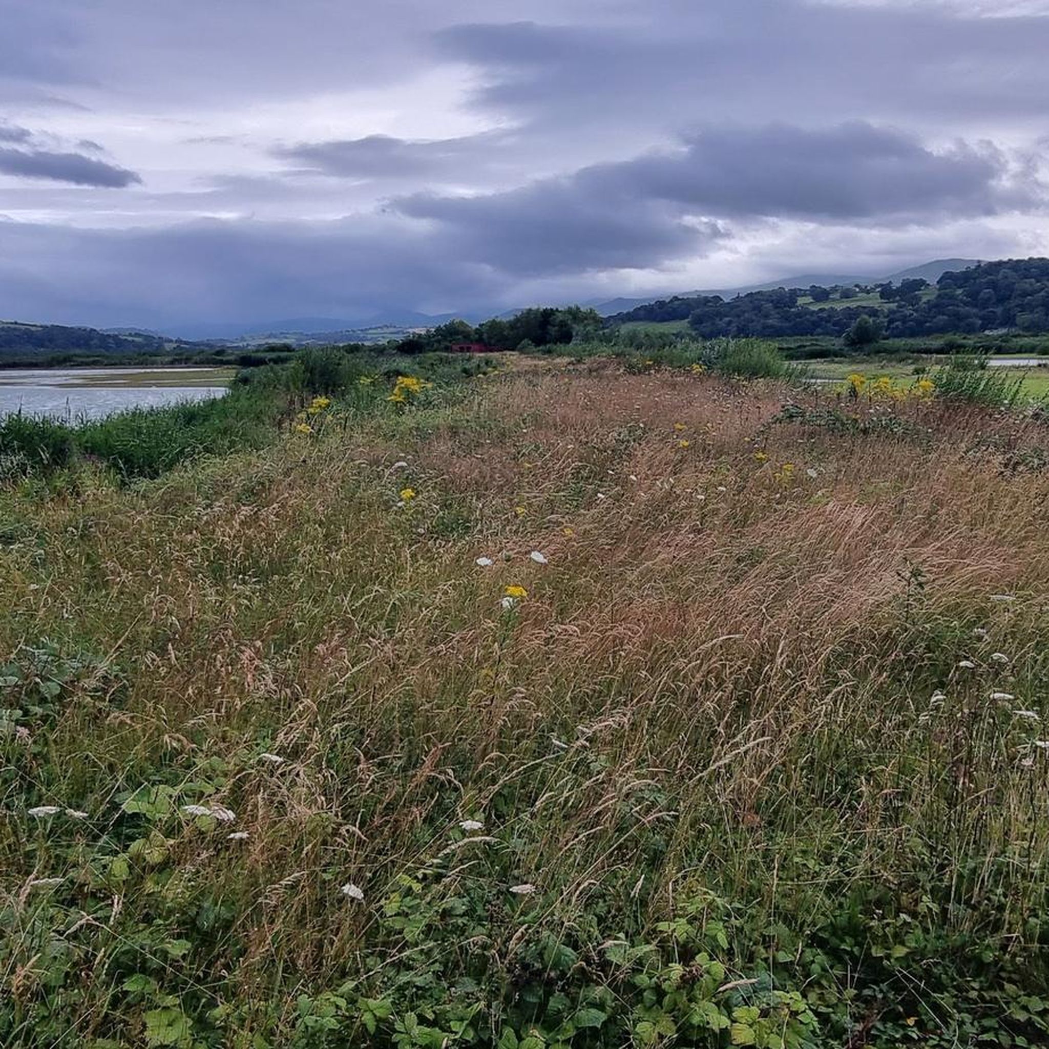
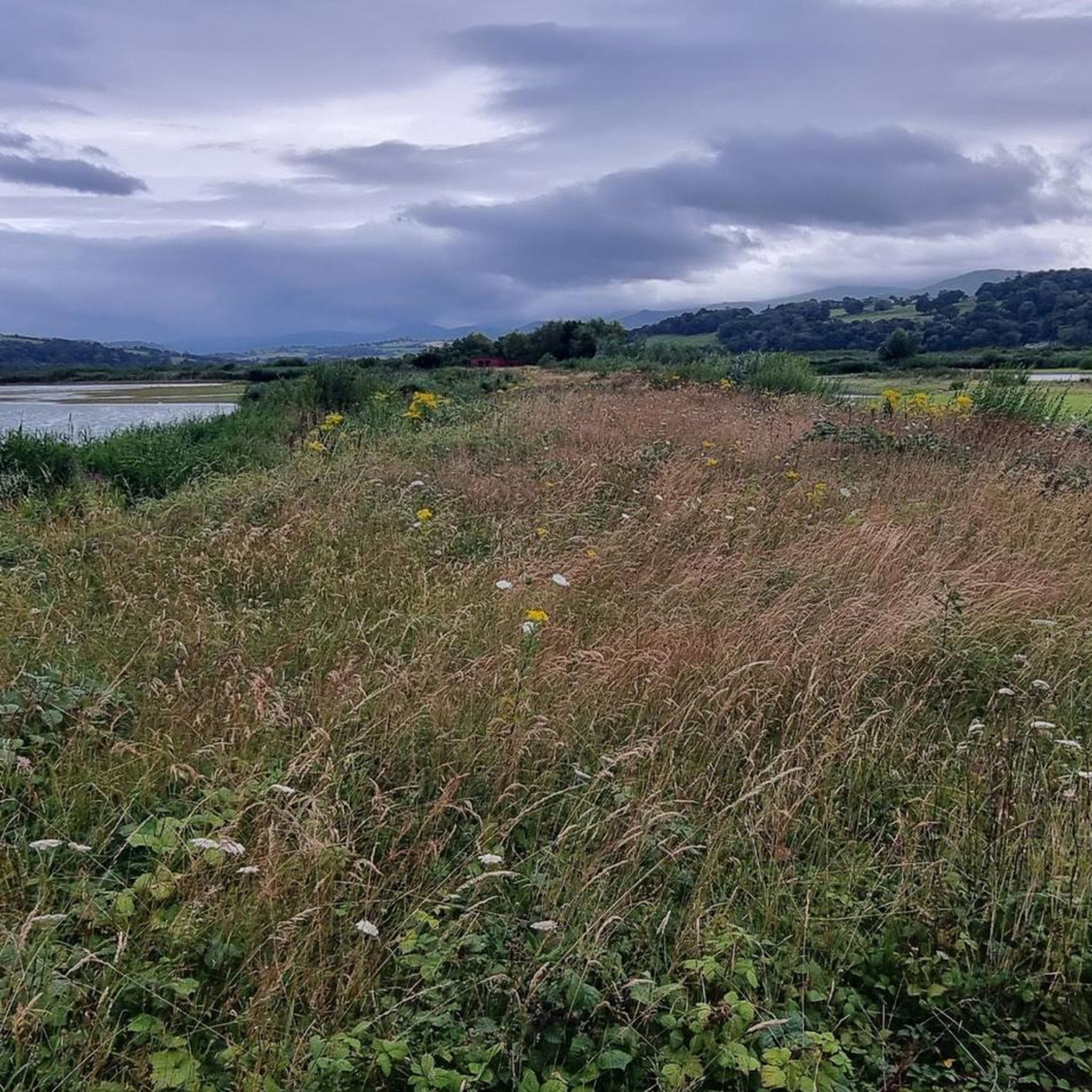
Known locally as Ffynnon Rufeinig, the Roman Well is an ancient spring tucked away on the south side of a track on the limestone headland. The Legend & The Reality: While the name suggests a bustling engineering feat from the Roman occupation—and local tradition long held that Roman miners used its waters to wash nearby copper ore—modern historians lean toward it being a bit of wishful thinking. However, Roman copper "cakes" and artifacts have been discovered elsewhere on the Orme, proving they definitely worked the headland's mineral wealth. The Site Today: Though heavy summer droughts can sometimes leave the stone-walled trough dry or reduced to a humble puddle, the well has been carefully rebuilt by the trackside. A clear stone plaque marks the spot, making it an atmospheric piece of historical folklore to stumble across as you explore the ancient landscape.
0
0
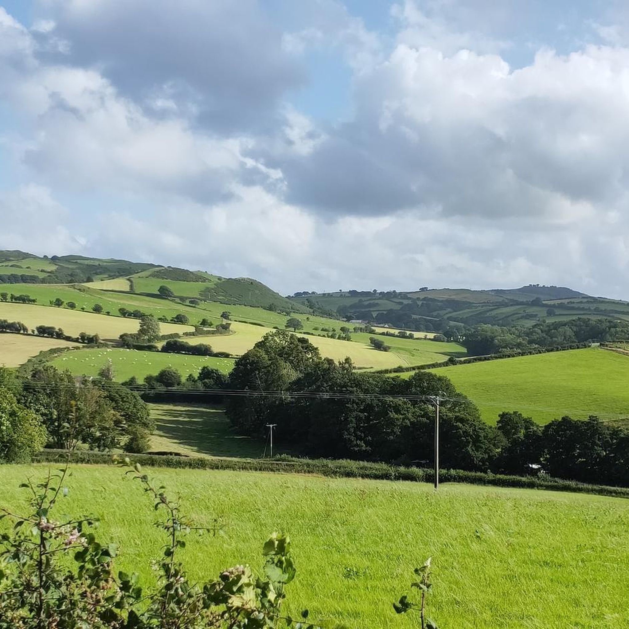
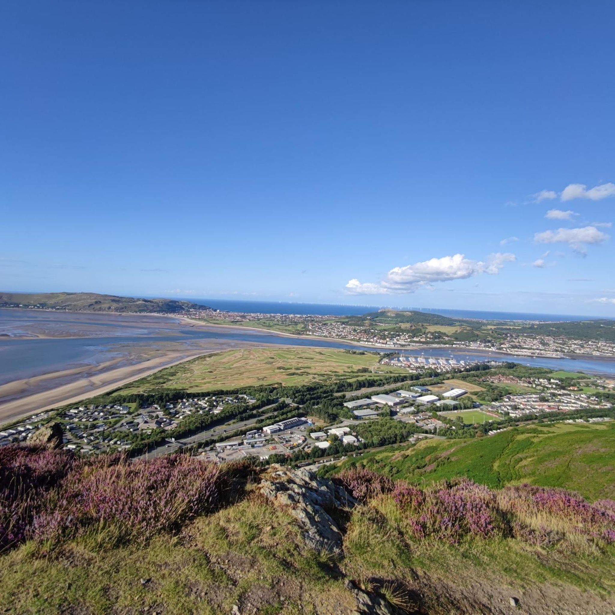
Mynydd y Dref (Welsh for 'mountain of the town'), also known as Conwy Mountain, is a hilly area to the west of the town of Conwy, in North Wales. To the north it overlooks the sea of Conwy Bay, and to the south lie the foothills of the Carneddau range of mountains, of which it forms a part. Mynydd y Dref is the remains of an ancient volcano that erupted about 450 million years ago. At the summit of Mynydd y Dref are the Neolithic Hut Circles and the Iron Age hillfort of Castell Caer Seion (sometimes called Castell Caer Lleion). Castell Caer Seion comprised a stone walled fort, and remains show this to have been an extensive site, incorporated more than 50 hut circles and levelled platform houses, and with a citadel and outposts.
0
0
In the second period a smaller and stronger fort was constructed at the west end of the hill. The older fort appears to have still been occupied but there was no access between the two. The smaller fort had somewhat wider walls and a strong gateway protected by bastions on either side and probably a ‘fighting tower’. Comparison with similar forts suggests that the wall would have been about 3 to 4m high with a walkway and breastwork wall on top. The defences were further reinforced by the addition of deep ditches at the east, north-east, west and south-west (E). The entrance was also protected by an ‘outwork’ – an outer wall that made rapid, approach to the entrance impossible and exposed any attackers to missiles from the defenders on the overlooking inner walls. The entrance through this outwork was later blocked. The excavations carried out in 1951 found a hearth inside one house in the small fort as well as spindle whorls (for spinning wool) and a quern (for grinding corn). In the large fort the house next to the entrance contained over 400 sling stones, so perhaps was a ‘guard chamber’. It may be that the small fort was built during the period between the first Roman attack on north Wales in 60AD and the final conquest in 78 AD. The absence of Roman period finds from the fort suggested that it was not occupied after the Roman conquest, and so it may have been destroyed and deserted. However, there is a tradition linking the fort with Maelgwn Gwynedd in the 6th century and it has been suggested that the small fort belongs to that period. Outside the fort are some remains of stone-walled roundhouses that may have been occupied at the same time as the fort or during the Roman period. One lies in a slight level hollow at the north side of the North Wales Path just east of the path up to the fort. It consists of one large roundhouse and probably several other smaller buildings. The other lies on a terrace on the slope below the south-east angle of the fort and consists of just a single large roundhouse.
0
0
Caer Seion is a large and strong hill fort. Excavations were carried out in 1951 but did not produce any dating evidence. However, it is believed to have been occupied during the Middle to Late Iron Age, about 300 BC to 1st century AD and it seemed likely that the fort was abandoned when the Romans conquered North Wales in 78 AD. The fort had a commanding position overlooking Conwy Bay and estuary and over the ancient trackway that followed the coastal ridge, continuing westwards towards Anglesey. The next nearest strong forts and possibly tribal centres are at Pen-y-dinas on the Great Orme, Pen-y-gaer above Llanbedrycennin and Braich y Dinas above Penmaenmawr. The fort had two periods of defence. In the first period a single stone wall of 3 to 4m width encircled the whole hill top apart from at the steep north side where no defence was needed. It had one entrance, at the south side, which would have had a timber gate. The greater width of the wall around the gate suggests it had a ‘fighting tower’ over it. Within the fort were over 50 timber round houses, many just behind the rampart at the south side (to shelter from the wind) and they are visible as circular platforms terraced into the hill slope. They varied in size from about 4m to 8m diameter and traces of walling survive at some of them. In one place there is a possible corn-drying kiln.
0
0
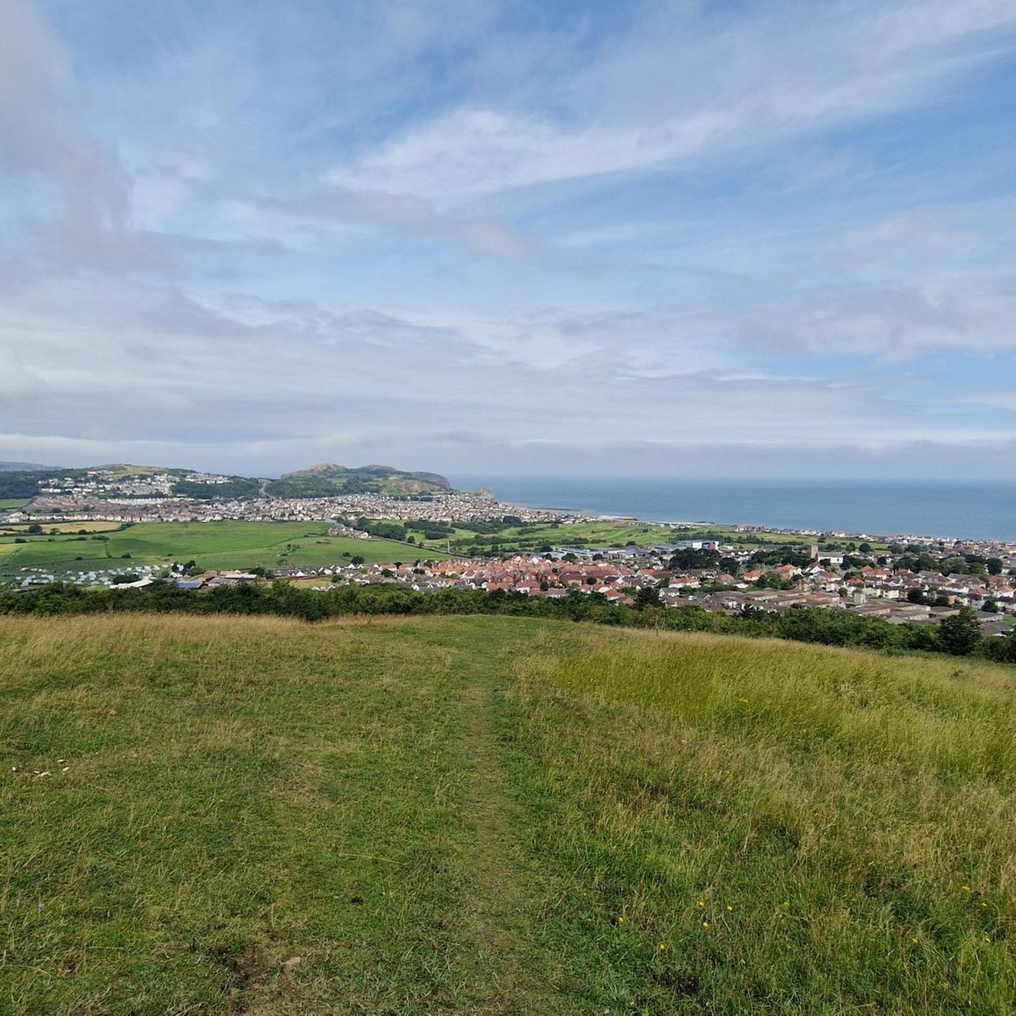
Trig point on top of the little orme. Gives panoramic views of the Irish sea, Snowdonia, Conwy, Denbighshire, Llandudno and the Great Orme.
0
0
So much to discover on this little gem of a place.
0
0
Beatiful views across the bay of llandudno and Snowdonia park in the distance.
0
0

Great little cafe at the summit complex, always good for a coffee and a flapjack !!
1
2
Frequently Asked Questions
What are the most notable natural features and geological formations near Mochdre?
The region around Mochdre is rich in unique geological formations. The Great Orme Summit, a spectacular limestone headland, is particularly known for its limestone pavements with deep vertical channels called "grykes" and harder rock formations known as "clints." Another significant site is Bryn Pydew Nature Reserve, which also features limestone pavements and diverse habitats.
Are there any historical natural monuments to explore near Mochdre?
Yes, the area boasts several historical natural monuments. Druid's Stone Circle is an impressive site that may date back to the Neolithic period, offering fantastic views across the Northern Carneddau mountains. Additionally, Caer Bach Hillfort, an Iron Age or Roman period hill-fort, provides insight into ancient settlements, despite its challenging access.
What kind of wildlife can I expect to see at the natural monuments around Mochdre?
The natural monuments near Mochdre are home to diverse wildlife. The Great Orme supports a wide array of flora and fauna, including over 100 resident and migrant bird species like peregrine falcons, and a herd of Kashmiri goats. Bryn Pydew Nature Reserve is celebrated for its abundant plant life, supporting over 20 species of butterflies, more than 500 species of moths, and glow-worms on warm summer nights. You might also spot wild Carneddau ponies in the Snowdonia National Park area, particularly near Carneddau Ponies in Snowdonia National Park.
What are the best viewpoints for panoramic scenery near Mochdre?
For breathtaking views, head to the Great Orme Summit, which offers extensive vistas across Anglesey and the foothills of the Carneddau range. Another excellent spot is Little Orme Summit and Trig Point, providing amazing views across the bay of Llandudno and Snowdonia National Park.
Are there family-friendly natural monuments or activities around Mochdre?
Yes, the Great Orme Summit is very family-friendly, offering maintained paths for walking, a Victorian Tramway, a cafe, information centre, and even a crazy golf course. Bryn Pydew Nature Reserve also provides tranquil strolls suitable for families to enjoy nature and birdwatching.
What are the best times to visit the natural monuments near Mochdre?
Spring and summer are ideal for experiencing the vibrant flora and fauna. During these seasons, the grasslands of the Great Orme are carpeted with wildflowers, and Bryn Pydew Nature Reserve is swathed in wildflowers, including various orchid species. Warm summer nights are also perfect for spotting glow-worms at Bryn Pydew.
What outdoor activities can I do near these natural monuments?
The area around Mochdre offers a variety of outdoor activities. You can find numerous cycling routes, including moderate and difficult options like the Abergele & North Wales Coast loop or the Rhos-on-Sea Promenade – Marine Drive, Great Orme loop. For road cycling, there are easy routes such as the Conwy Castle – Conwy Suspension Bridge loop. Running enthusiasts can explore trails like the Bryn Euryn Summit loop. You can find more details on these activities in the Cycling around Mochdre, Road Cycling Routes around Mochdre, and Running Trails around Mochdre guides.
Are there specific parking facilities available at the natural monuments?
Yes, for popular sites like the Great Orme Summit, there are parking facilities available. It's advisable to check local signage upon arrival for specific parking areas and any associated fees.
How accessible are the natural monuments by public transport from Mochdre?
Public transport options are available to reach some of the natural monuments. The Great Orme, for instance, is well-connected, with options like the Victorian Tramway providing access to the summit from Llandudno. For other sites, local bus services may operate, but it's recommended to check current schedules and routes for specific destinations.
Are there any cafes, pubs, or accommodation options near the natural monuments?
Yes, particularly around the more developed natural monuments. The Great Orme Summit has a cafe and a shop. The nearby towns of Llandudno and Colwyn Bay offer a wide range of cafes, pubs, and accommodation options suitable for visitors exploring the natural sites around Mochdre.
What should I bring when exploring the natural monuments around Mochdre?
When exploring, it's advisable to bring appropriate footwear, especially for trails that can be steep or dry. Water, snacks, and weather-appropriate clothing are also recommended. If you plan a picnic, be aware that seagulls can be bold, so consider designated rest areas.
Are there any permits required for hiking or visiting natural areas near Mochdre?
Generally, no specific permits are required for hiking on public footpaths and designated natural areas like the Great Orme Country Park or Bryn Pydew Nature Reserve. However, always respect private land and follow any posted regulations or guidelines.
What are the dog walking rules for natural monuments in the area?
While many trails are dog-friendly, specific restrictions may apply in certain areas, especially those with sensitive wildlife or livestock. For example, on the Great Orme, it's important to keep dogs under control, particularly around the wild Kashmiri goats and sheep. Always check local signage for specific rules regarding leash requirements and restricted areas.
Most popular attractions around Mochdre

Get inspired with the komoot mobile app


Explore more
Extend your search for the best caves by checking out these guides of the top ones around Mochdre:
