Top 10 Natural Monuments around West Linton
Best natural monuments around West Linton are found within a landscape shaped by the Pentland Hills and the Lyne Water. This area features rolling hills, upland heather moorland, woodlands, and reservoirs. The region's natural environment offers diverse habitats and geological formations. It provides opportunities for outdoor recreation and access to natural features.
Best natural monuments around West Linton
- The most popular natural monuments is Scald Law Summit, a summit that is the highest point in the Pentlands. It offers…
Last updated: July 1, 2026
Scald Law Summit
Highlight • Summit
Tip by

Carnethy Hill
Highlight • Natural Monument
Tip by

Sign up now to discover places like this
Get recommendations on the best single tracks, peaks, & plenty of other exciting outdoor places.
Sign up for free
Glencorse Reservoir
Highlight • Lake
Tip by

Loganlea Reservoir
Highlight • Lake
Tip by

Turnhouse Hill
Highlight • Viewpoint
Tip by

Sign up for free to discover even more natural monuments around West Linton.
Sign up for free
Already have an account?
Start today with a free account
Your next adventure awaits.
Login or Signup
Popular around West Linton
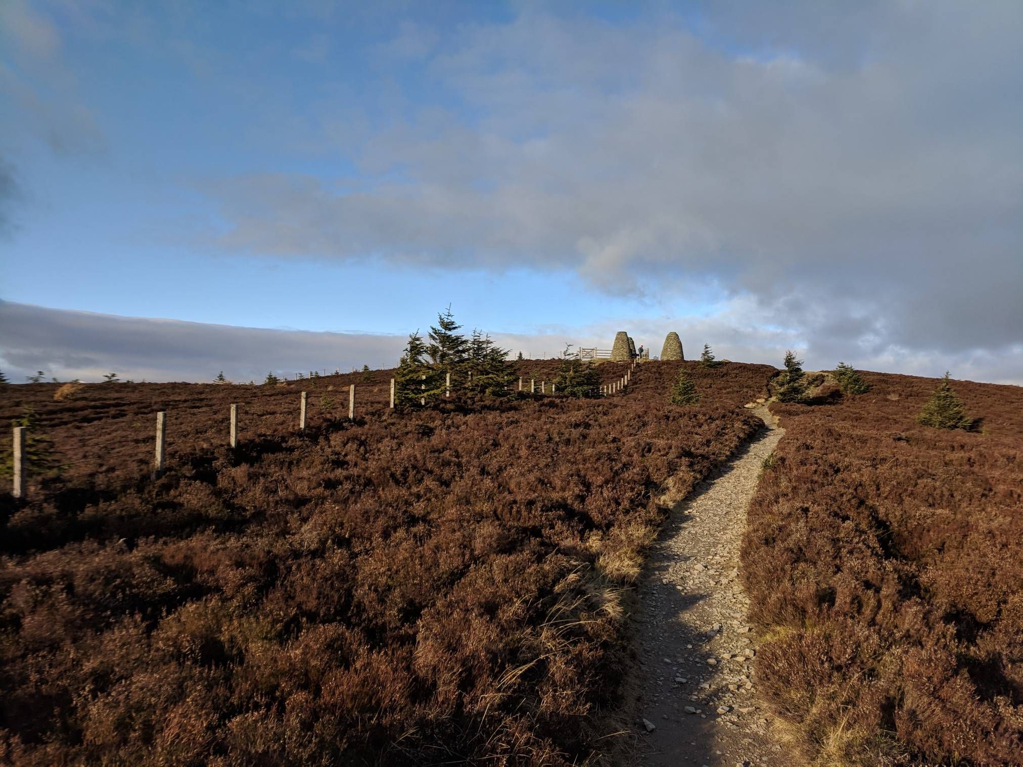
The Central Belter — Gravel trails of the coast and Cairngorms
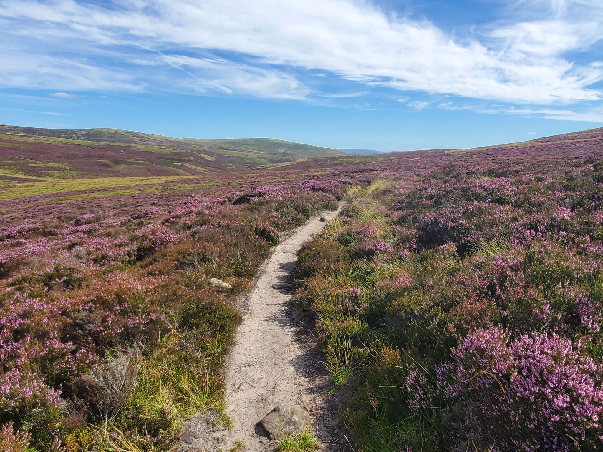
Hike in the footsteps of history – Cross Borders Drove Road
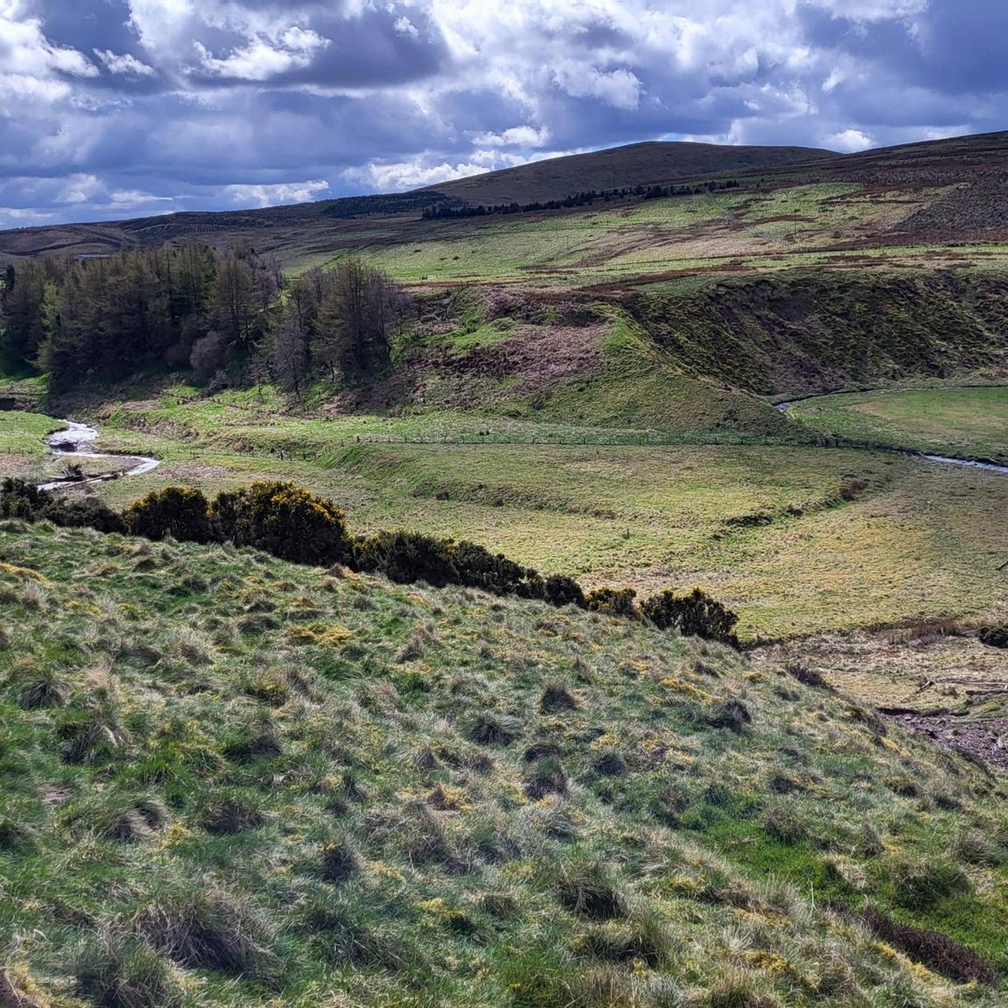
Hiking around West Linton
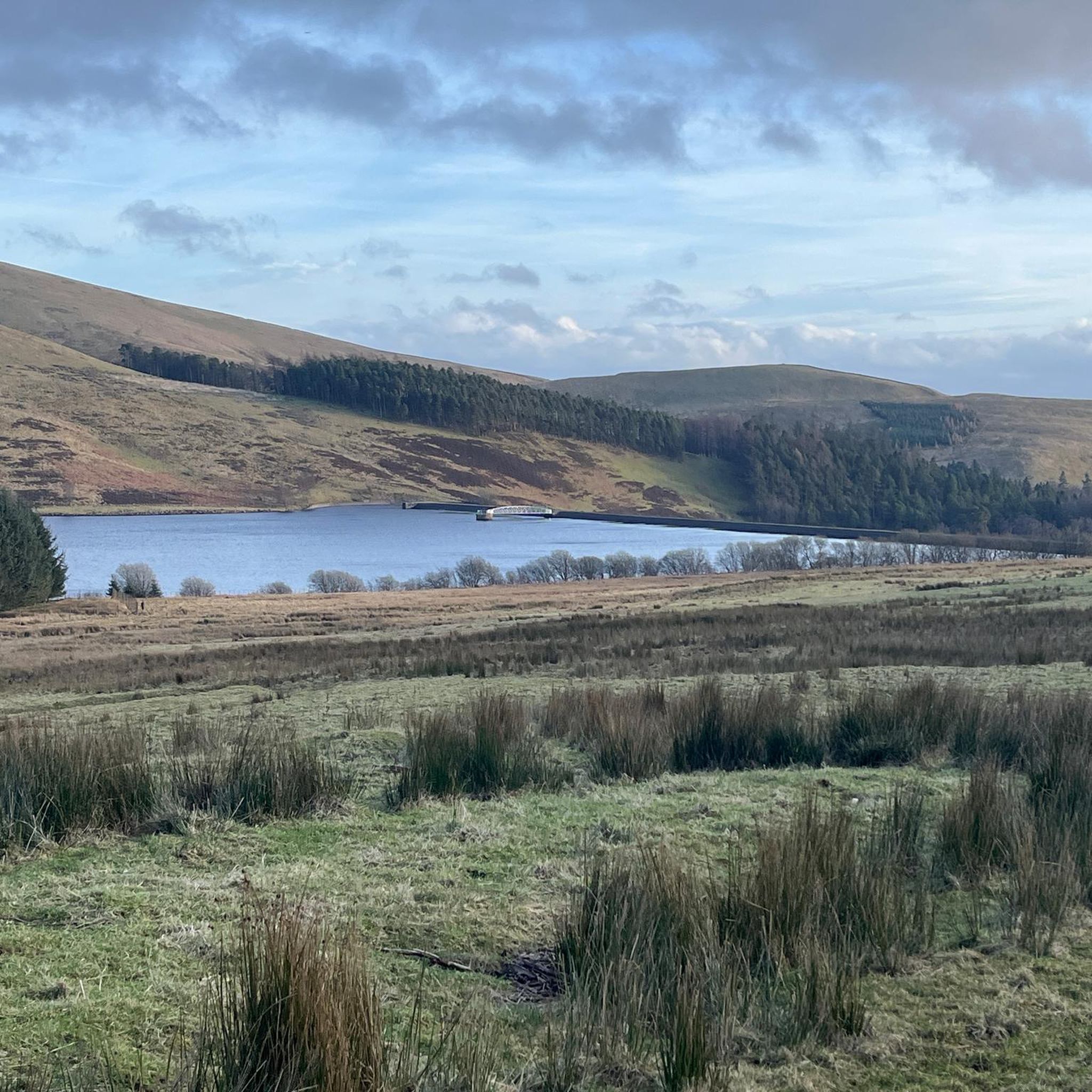
Road Cycling Routes around West Linton
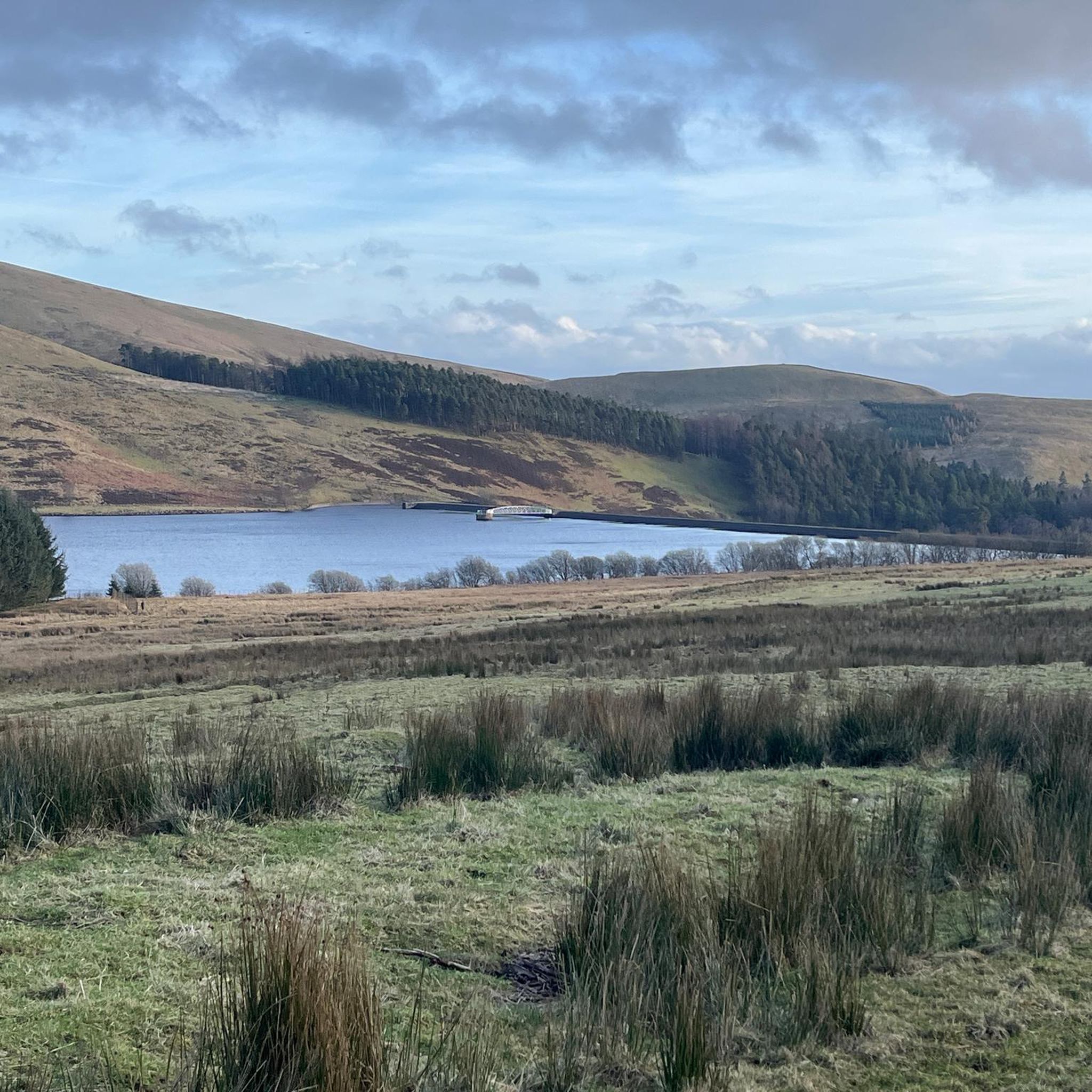
Running Trails around West Linton
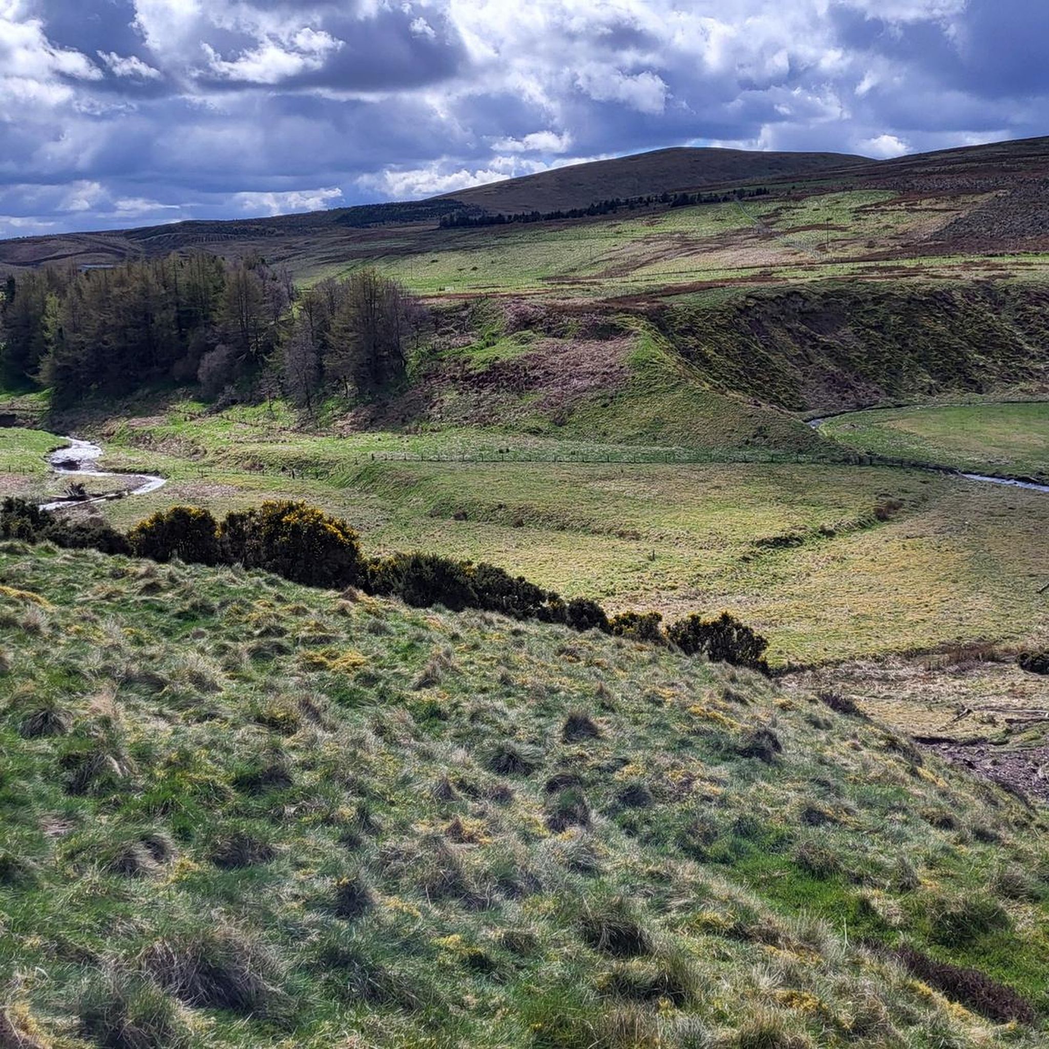
MTB Trails around West Linton
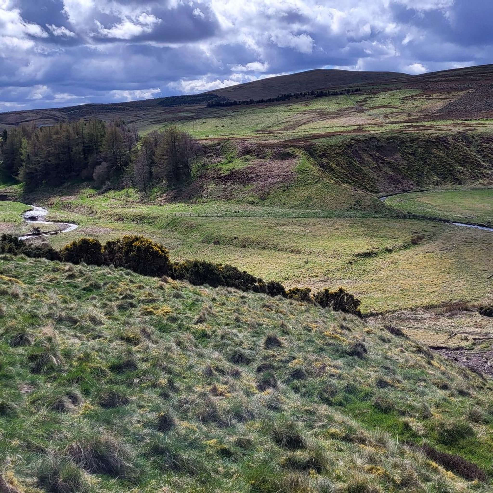
Cycling around West Linton
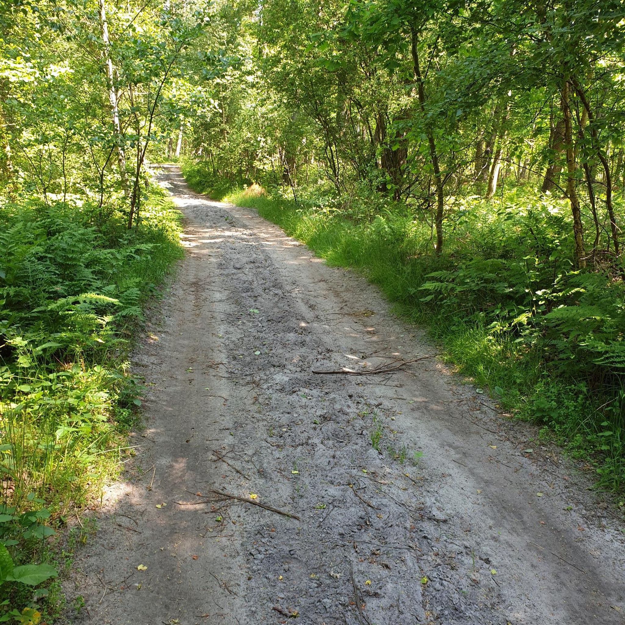
Gravel biking around West Linton


Tips from the Community

Stunning views. Path gets very gravelly so care needed if you are less experienced off-road
0
0

After the peaks it's all flat terrain and definitely more busy on a dry day. Walk the way back after the last peak if you prefer the challenge of it.
0
0

Nestled amongst the Pentland Hills, Glencorse Reservoir is incredibly picturesque. It was built between 1820 and 1824 to provide water to mills in the area and supply drinking water to Edinburgh. Today, the reservoir still supplies water to 450,000 people. The reservoir was created by constructing a dam, which is 77 feet (23.5 m) at its highest point.
2
0

Loganlea Reservoir was completed in 1851. It is fed by the logan Burn and the water then flows into the larger Glencorse Reservoir. It's one of a series of reservoirs in the Pentland Hills built in the 1800s to provide water for the growing city of Edinburgh. Loganlea reservoir is well positioned within the Pentlands, you can only see the hills from its banks.
0
0
The Glencorse Reservoir is held back by an earth dam built in the early 1820's. The water was used to power the mills downstream and provide drinking water to Edinburgh and the surrounding area.
0
0
The first summit on the ridge if you’re running from the north east. Turnhouse Hill is 465m high and offers great views east over Edinburgh.
0
0
Carnethy Hill stands at 573m on the Pentland Hills ridgeline. It's only 3m shorter than neighbouring Scald Law and offers great views over the Pentlands, Edinburgh and far across Scotland. The Carnethy Hill Runners are one of the most prominent clubs in the country, certainly the largest in Scotland. They race and train regularly and are very inclusive if you fancy joining. They also organise several races including the famous Carnethy Hill race.
0
0
Scald Law at 579m is the highest point in the Pentland Hills. The views are great in all directions but it's normally windy and exposed so bring a jacket if you want to stand around and look at them. Great running along the ridge over Carnethy Hill or from the north or south to this point.
0
0
Frequently Asked Questions
What are some prominent natural features to explore near West Linton?
The area around West Linton is rich in natural features, primarily within the Pentland Hills Regional Park and along the Lyne Water. Key natural monuments include the summits of Scald Law Summit, Carnethy Hill, and Turnhouse Hill. You can also visit serene reservoirs like Glencorse Reservoir and Loganlea Reservoir, which are nestled among the hills.
What kind of views can I expect from the natural monuments in the Pentland Hills?
From the prominent summits like Scald Law Summit (the highest point at 579 meters) and Carnethy Hill, you can expect expansive panoramic views across the Pentland Hills, Edinburgh, the Firth of Forth, the Borders, and even as far as Ben Lomond on a clear day. Turnhouse Hill also offers great views east over Edinburgh.
Are there any unique geological features to observe in the area?
Yes, the Pentland Hills exhibit diverse geology, including volcanic formations and sandstones. Areas like Black Hill feature intrusions of microgranite. The Red Moss of Balerno, an internationally important habitat, is a raised bog with a deep peat layer accumulated over thousands of years, showcasing a unique natural process.
What outdoor activities can I do near the natural monuments around West Linton?
The Pentland Hills Regional Park offers extensive opportunities for outdoor recreation. You can enjoy hillwalking, mountain biking, horse riding, and orienteering. For specific routes, explore the Hiking around West Linton guide, the MTB Trails around West Linton guide, or the Running Trails around West Linton guide for detailed routes.
Are there family-friendly natural monuments or walks around West Linton?
Yes, several natural monuments are suitable for families. Reservoirs like Glencorse Reservoir and Loganlea Reservoir offer picturesque settings for walks. The Lyne Water also provides pleasant, generally flatter walks through scenic countryside, with two village greens in West Linton perfect for relaxation.
Are the natural monuments around West Linton dog-friendly?
Many of the trails and natural areas in the Pentland Hills and along the Lyne Water are dog-friendly. However, it's important to keep dogs under control, especially in areas with livestock or ground-nesting birds, and to follow the Scottish Outdoor Access Code. Always check local signage for any specific restrictions.
What is the best time of year to visit the natural monuments near West Linton?
The Pentland Hills and surrounding areas are beautiful year-round. Spring brings blooming heather and new wildlife, while summer offers longer daylight hours for extended hikes. Autumn provides stunning foliage, and winter can offer dramatic, snow-covered landscapes, though conditions can be challenging on higher peaks like Scald Law Summit, requiring appropriate gear.
How can I get to the Pentland Hills Regional Park from West Linton using public transport?
While West Linton itself is a rural village, public transport options exist to reach the wider Pentland Hills area. It's advisable to check local bus schedules for routes connecting West Linton to larger towns like Penicuik or Balerno, which have more direct links to various access points of the Pentland Hills Regional Park. For detailed information on public transport to the Pentland Hills, you can refer to resources like Wikipedia's Pentland Hills page for general access information.
Are there any permits required for hiking in the natural areas around West Linton?
In Scotland, the Scottish Outdoor Access Code generally grants responsible access to most land and inland water, including the Pentland Hills. This means permits are typically not required for hiking. However, always adhere to the code by respecting private property, livestock, and the environment. Some specific activities or events might require permission, so it's always good to check if you plan something beyond general recreational access.
What historical or cultural sites are associated with the natural landscape near West Linton?
While primarily natural, the area has historical connections. The Lyne Water, for instance, flows near sites of archaeological significance, including Bronze Age burial sites discovered at Westwater Reservoir. These findings, such as a unique lead necklace and burial cists, highlight the ancient human presence within this natural setting. Additionally, 'The Thieves' Road,' an old cattle droving route, offers a historical path through the Pentland Hills.
What wildlife might I spot when visiting the natural monuments?
The diverse habitats of the Pentland Hills, from heathland and peatland to woodlands and reservoirs, support a rich variety of wildlife. You might spot various bird species, including raptors, and mammals such as deer, badgers, and foxes. The reservoirs are home to different bird and mammal species, while the Red Moss of Balerno supports a unique bog ecosystem.
Are there options for wild swimming near West Linton's natural monuments?
While the reservoirs in the Pentland Hills, such as Glencorse Reservoir and Loganlea Reservoir, are picturesque, they are primarily used for water supply and fishing. Wild swimming is generally not permitted in these reservoirs due to safety and water quality concerns. Always check local regulations and signage before considering any wild swimming in natural waters.
Where can I find parking when visiting natural monuments near West Linton?
Parking is available at various access points around the Pentland Hills Regional Park. Popular trailheads often have designated car parks. For specific natural monuments, it's best to research the nearest access points. For example, to access Glencorse Reservoir, you can often find parking near the Flotterstone Inn.
Most popular routes around West Linton
Most popular attractions around West Linton

Get inspired with the komoot mobile app


Explore more
Extend your search for the best caves by checking out these guides of the top ones around West Linton:
