Top 6 Natural Monuments around Vila Franca Do Rosário
Best natural monuments around Vila Franca Do Rosário offer a diverse natural landscape within the Mafra region of continental Portugal. This area features a mix of protected forests, historical gardens, and unique geological formations. Visitors can explore significant natural features that showcase the region's rich history and varied terrain, providing insights into the geology of Vila Franca do Rosário.
Best natural monuments around Vila Franca Do Rosário
- The most popular natural monuments is Tapada Nacional de Mafra, a forest…
Last updated: July 13, 2026
Tapada Nacional de Mafra
Highlight • Forest
Translated by Google •
Tip by

Cerco Garden
Highlight • Natural
Translated by Google •
Tip by
Sign up now to discover places like this
Get recommendations on the best single tracks, peaks, & plenty of other exciting outdoor places.
Sign up for free
Forte da Archeira
Highlight • Historical Site
Translated by Google •
Tip by
Campo de Lapiás de Negrais
Highlight • Natural Monument
Translated by Google •
Tip by

Marble Quarry Lagoon of Pêro Pinheiro
Highlight • Lake
Translated by Google •
Tip by

Sign up for free to discover even more natural monuments around Vila Franca Do Rosário.
Sign up for free
Already have an account?
Start today with a free account
Your next adventure awaits.
Login or Signup


Tips from the Community

You can hike, drive through the park in an electric car or take a carriage ride. Advance reservation is advisable.
4
3

The Jardim do Cerco, in Mafra, is a baroque example, famous for its water mirrors, paths and leafy trees (including a century-old daughter-in-law) and the Horta dos Frades. With 8 hectares, it has everything from waterfalls to medicinal plants. It is adjacent to the Mafra National Palace; right behind, more precisely. In 2019, the park became a UNESCO World Heritage Site.
4
0
The Tapada Nacional de Mafra, created during the reign of João V in Portugal, is a royal park measuring more than 8 km², home to several species of animals and a diverse natural habitat. Used for hunting and leisure by the Portuguese monarchy, today it offers activities such as hiking, cycling, horse riding and archery. In 2019, it was classified as a UNESCO World Heritage Site.
3
1
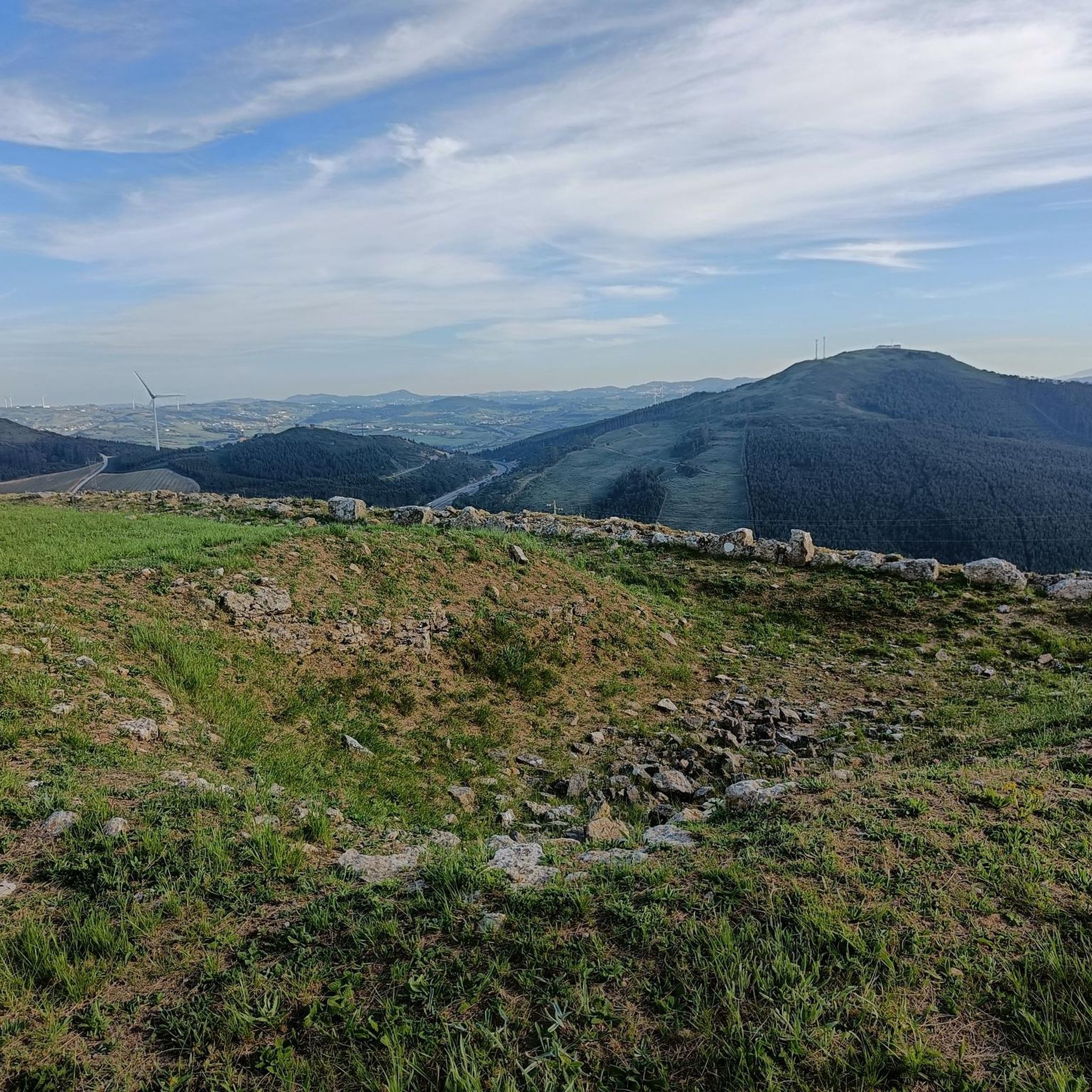
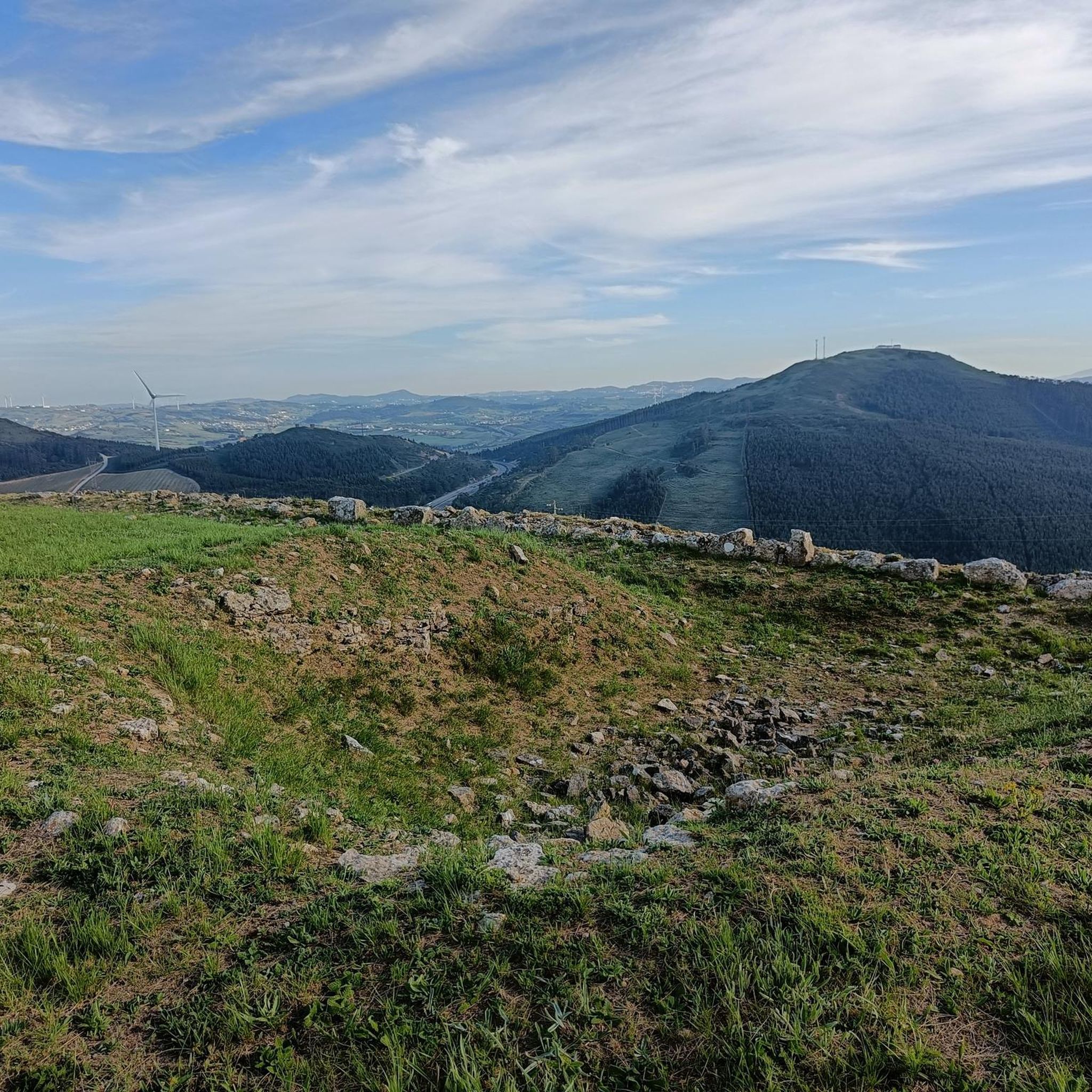
Forte da Archeira, part of the Lines of Towers defensive north of Lisbon during the Peninsular War, is a military fortification located at an altitude of 345 m. It was part of the 1st Defensive Line with the forts of Catefica and Feiteira. Despite not having gunboats, it has traces of a magazine. It forms part of the Lines of Torres, a system of 152 fortifications stretching over 80 km, built between 1809 and 1812 to prevent the advance of Napoleonic troops.
2
0

Pêro Pinheiro, a village in the municipality of Sintra, gained notoriety "here and beyond" due to its marbles. At the beginning of this century, there were around 300 small and medium-sized companies dedicated to the transformation of said stone, much of which was extracted in these quarries in the region and another was "imported" from the Vila Viçosa and Estremoz area. Pêro Pinheiro has thus become the largest marble transformation center at national level, which has played an important role in the regional economy. In recent years, due to the crisis in civil construction, the demand for this stone has significantly decreased, ending up "condemning" many of these "quarries" to closure.
0
0

Lapiás ou lapiaz [1] (word derived from lapiaz, from the Jura dialect) is a typical karst relief formation, produced by the superficial dissolution of calcareous or dolomitic rocks. It can also be caused by freezing and thawing cycles in cold weather regions. Lapiás, together with dolines, cenotes, cones and karst valleys, form the outer portion of the karst relief, also known as exocarste, while caves, crevices and speleothems make up the underground part of karst, or endocarste. Lapiás consist of fractures in the superficial rocks that expand through the dissolution of the rock, resulting in large channels that groove the rocks horizontally or vertically, as well as fields of large rocks, isolated from each other and with different types of flutes, fringes and surface holes. In some cases, only depressions occur along the surface of the rock, which is not fragmented. Lapiás are formed initially by dissolving the rock at the interface with the soil and cracks are opened. After erosion of the topsoil, the rocks are exposed and the dissolution of the rock continues to expand the cracks. Eventually the rocks are completely separated and form fields of level rocks or groove and crevice patterns. Soil and vegetation can fill the spaces between rocks.
2
0
Frequently Asked Questions
What types of natural monuments can I explore around Vila Franca Do Rosário?
The region around Vila Franca Do Rosário offers a diverse range of natural monuments, including protected forests like Tapada Nacional de Mafra, historical gardens such as Cerco Garden, and unique geological formations like the karst landscape of Campo de Lapiás de Negrais. You can also find historical sites with natural elements, like Forte da Archeira.
Are there any family-friendly natural monuments in the area?
Yes, Tapada Nacional de Mafra is an excellent choice for families, offering activities like hiking, cycling, and horse riding within its vast royal park. Cerco Garden, with its water mirrors and leafy trees, is also considered family-friendly and provides a pleasant environment for a stroll.
What kind of wildlife can I expect to see at these natural monuments?
At Tapada Nacional de Mafra, a royal park spanning over 8 km², you can observe several species of animals within its diverse natural habitat. It was historically used for hunting and leisure by the Portuguese monarchy, indicating a rich ecosystem.
Where can I find panoramic viewpoints of the region's natural landscape?
For impressive panoramic views, visit Forte da Archeira. This military fortification is situated at an altitude of 345 meters and offers expansive vistas of the surrounding area. Cerco Garden also provides scenic spots with its well-designed baroque landscape.
Are there hiking opportunities near the natural monuments?
Absolutely. The region offers various hiking opportunities. For easy walks, you can explore routes like the 'Ribeirinho (Azul) trail in Tapada de Mafra' or a 'Hiking in Mafra — circular route'. You can find more details and routes on the Easy hikes around Vila Franca Do Rosário guide.
Can I go cycling around the natural monuments?
Yes, cycling is a popular activity. Tapada Nacional de Mafra explicitly offers cycling as one of its activities. For more cycling routes in the broader area, you can check the Cycling around Vila Franca Do Rosário guide, which includes routes like 'The Surfer – Ribeira d'Ilhas Beach loop'.
What is the best time of year to visit the natural monuments around Vila Franca Do Rosário?
While specific seasonal advice for Vila Franca Do Rosário's continental natural monuments isn't detailed, generally, spring and autumn offer pleasant weather for outdoor activities like hiking and cycling. Summer is also suitable, though it can be warmer. Winter might be cooler and wetter, but some sites like Tapada Nacional de Mafra remain open year-round.
What is the significance of <a href="https://www.komoot.com/highlight/6302068" target="_blank" rel="noopener">Tapada Nacional de Mafra</a>?
Tapada Nacional de Mafra is a royal park established during the reign of João V, measuring over 8 km². It's a significant natural habitat for various animal species and was classified as a UNESCO World Heritage Site in 2019. It offers a blend of natural beauty and historical importance.
What is <a href="https://www.komoot.com/highlight/2944126" target="_blank" rel="noopener">Campo de Lapiás de Negrais</a>?
Campo de Lapiás de Negrais is a unique geological formation characterized by lapiás, which are typical karst relief formations. These are produced by the superficial dissolution of calcareous or dolomitic rocks, creating distinctive channels and patterns in the rock surface.
Are there any historical sites among the natural monuments?
Yes, Forte da Archeira is a historical military fortification, part of the Lines of Torres, built during the Peninsular War. It combines historical significance with its natural elevated position. Additionally, Tapada Nacional de Mafra and Cerco Garden are both UNESCO World Heritage Sites with rich historical backgrounds.
What is the <a href="https://www.komoot.com/highlight/5792320" target="_blank" rel="noopener">Marble Quarry Lagoon of Pêro Pinheiro</a>?
The Marble Quarry Lagoon of Pêro Pinheiro is a natural monument formed from a former marble quarry. Pêro Pinheiro was historically a major center for marble transformation in Portugal, and this lagoon is a remnant of that industrial past, now offering a unique natural landscape.
What kind of running trails are available near these natural monuments?
You can find several running trails, particularly within Tapada Nacional de Mafra. Options include the 'Tojeira (Green) trail' and the 'Taipas Trail (Red)', both rated as moderate difficulty. For more running options, consult the Running Trails around Vila Franca Do Rosário guide.
Most popular attractions around Vila Franca Do Rosário

Get inspired with the komoot mobile app


Explore more
Extend your search for the best caves by checking out these guides of the top ones around Vila Franca Do Rosário:
