Top 4 Natural Monuments around A Dos Francos
Natural monuments around A Dos Francos include diverse natural features within the wider region of Caldas da Rainha, Portugal. The area offers a mix of coastal lagoons, beaches, and significant geological formations. These locations provide opportunities to explore varied natural landscapes. The region is characterized by its rural charm and proximity to noteworthy natural attractions.
Best natural monuments around A Dos Francos
- The most popular natural monuments is Arnóia River, a river that flows into the Óbidos Lagoon. A…
Last updated: October 16, 2026
Bocas Gorge
Highlight (Segment) • Gorge
Translated by Google •
Tip by

Arnóia River
Highlight • River
Nicely situated in the valley
Translated by Google •
Tip by

Sign up now to discover places like this
Get recommendations on the best single tracks, peaks, & plenty of other exciting outdoor places.
View of Montejunto
Highlight • Viewpoint
Translated by Google •
Tip by
Start today with a free account
Your next adventure awaits.
Tips from the Community

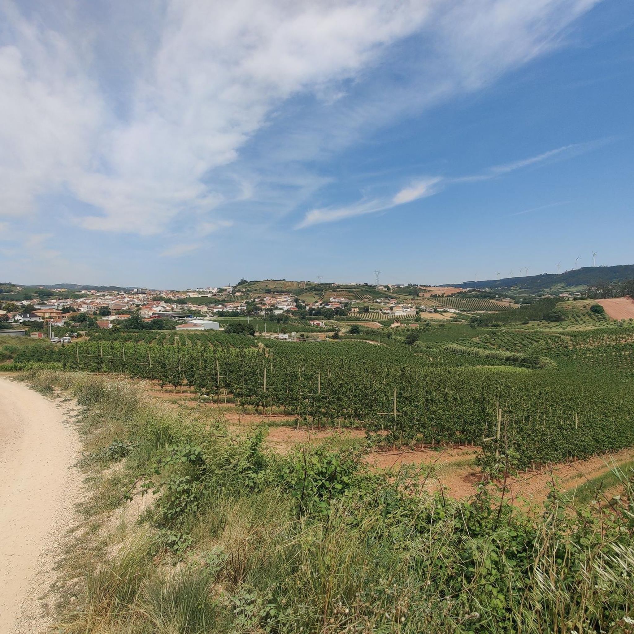
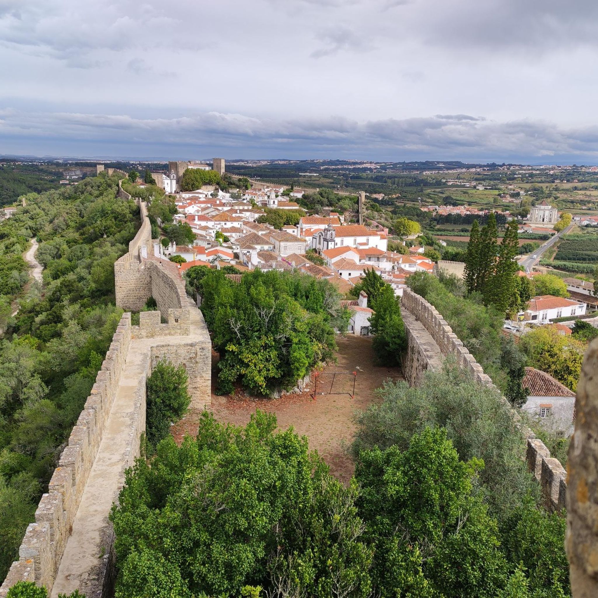
The Arnóia River rises in the Serra de Todo o Mundo and flows for 30 km before flowing into the Óbidos Lagoon. A dam was built about one and a half kilometres from Óbidos, in the Horta Valley, whose reservoir was used to irrigate the area's crops.
1
0
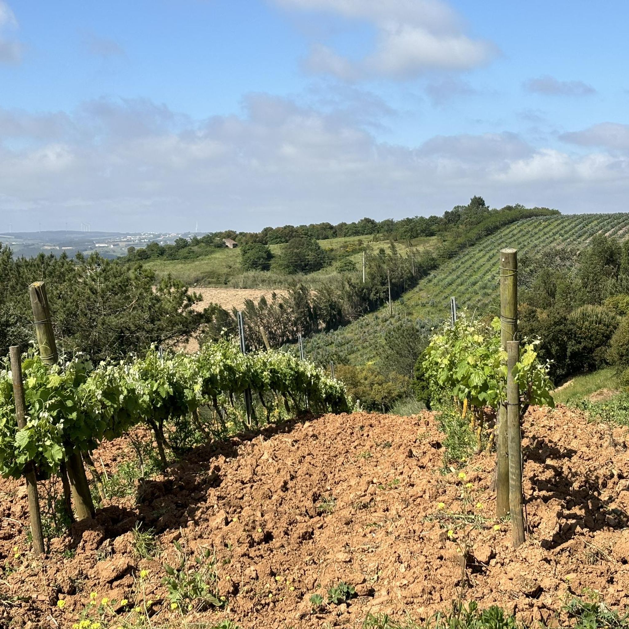
Rising abruptly between the coast and the Tagus valley, the Montejunto mountain range stands out from the surrounding landscape, not only because of its altitude but also because of its natural characteristics. It is spread across the municipalities of Alenquer and Cadaval, in a highly humanized region where intense agricultural activity takes place, thus emerging as one of the last refuges for many species of animals and plants.
4
0
At the end of this segment, towards Rio Maior, on the right side of the road there is a small park where it is possible to stop and walk a little to observe the magnificent natural caves on the banks of the Rio Maior, a practically forgotten river that gave its name to the current city from Rio Maior. Currently, the flow of the river is very low, drying up completely in the summer months. A little of history: "The Rio Maior rises in a picturesque place called «Bocas», a large gorge that cuts the mountain range, through which the Santarém-Peniche road also passes, located west of the city of Rio Maior. the picnic on Good Summer Day. It is said that in the mid-19th century, still on the Maior river, in winter or in times of plenty of water, boats sailed, almost all sailing or rowing, approaching the Tagus to change the loads to other larger boats." Source: Memories of Rio Maior - https://memoriasderiomaior.blogs.sapo.pt/2023.html
3
0

Dammed lake for the water supply of Obidos. Nicely situated in the valley
2
0
Frequently Asked Questions
What are some of the most notable natural monuments to explore near A Dos Francos?
The region around A Dos Francos offers diverse natural attractions. You can visit the dramatic Bocas Gorge with its natural caves, the serene Arnóia River and its dammed lake, or enjoy panoramic views from the View of Montejunto. Further afield, the Óbidos Lagoon, Foz do Arelho Beach, and the geological wonders of Serras de Aire e Candeeiros Natural Park are also significant.
Are there any family-friendly natural monuments suitable for children?
Yes, the Arnóia River is noted as family-friendly, offering a calm dammed lake environment. Additionally, São Martinho do Porto Beach, with its unique shell-shaped bay and sheltered waters, is an excellent choice for families seeking a safe and peaceful swimming experience.
What kind of geological features can I expect to see in the natural monuments around A Dos Francos?
The area is rich in geological diversity. You can explore the impressive Bocas Gorge, which features natural caves. The Serra de Montejunto is a prominent limestone elevation offering expansive views. Further away, the Serras de Aire e Candeeiros Natural Park is a chalk massif renowned for its numerous caves, ravines, and unique rock formations sculpted by water, including ancient dinosaur footprints.
What outdoor activities can I do near these natural monuments?
The region provides various outdoor activities. You can find numerous cycling routes, including challenging options like the Óbidos Lagoon – Lagoa de Óbidos Gravel Trail. For road cycling, routes like the View of Serra de Montejunto – Montejunto Monument loop are available. Running enthusiasts can explore trails such as the Salinas Rio Major loop. Many natural areas, like Serra de Montejunto, also offer hiking opportunities.
Are there good viewpoints to appreciate the natural landscape?
Absolutely. The View of Montejunto offers stunning panoramic vistas of the surrounding region. The Serra de Montejunto Forest Watch Station also provides a beautiful panorama, making it ideal for photography and appreciating the natural landscape.
Can I find beaches or coastal natural attractions near A Dos Francos?
Yes, the coast is within easy reach. Foz do Arelho Beach is a beautiful spot where the Óbidos Lagoon meets the Atlantic Ocean, offering a unique landscape for sunbathing and water sports. São Martinho do Porto Beach, a distinctive shell-shaped bay, is known for its calm and sheltered waters, perfect for a relaxing day by the sea.
What is the best time of year to visit the natural monuments around A Dos Francos?
The region generally enjoys a mild climate. Spring (April-May) and early autumn (September-October) are often ideal, offering pleasant temperatures for outdoor activities like hiking and cycling without the intense heat of summer. Summer (June-August) is perfect for enjoying the beaches and water activities, though some inland areas might be very warm.
Are there opportunities for wildlife spotting in the natural monuments?
Yes, areas like the Serra de Montejunto mountain range serve as a refuge for many species of animals and plants. The Serras de Aire e Candeeiros Natural Park is particularly notable, being home to 18 species of bats, which is the park's symbol, and a rich diversity of orchids.
What should I wear when exploring trails in the natural monuments?
For trails and viewpoints, comfortable walking shoes or hiking boots are recommended, especially if you plan to explore areas like Bocas Gorge or the Serra de Montejunto. Layered clothing is advisable to adapt to changing weather conditions, and sun protection (hat, sunscreen) is always a good idea, especially during warmer months or at exposed viewpoints.
Are there any natural monuments with historical or cultural significance?
While primarily natural, some sites have historical context. The Bocas Gorge is linked to the history of the Rio Maior river, which once allowed boats to navigate towards the Tagus. The Serras de Aire e Candeeiros Natural Park is famous for containing the world's largest collection of sauropod dinosaur footprints from the Mid Jurassic period, offering a glimpse into ancient history.
Can I find natural monuments that are suitable for longer hikes or more challenging routes?
Yes, for those seeking more challenging experiences, the Serra de Montejunto area offers various trails, and the mountain range itself is part of a difficult road cycling loop. The Serras de Aire e Candeeiros Natural Park also features significant geological formations like the Fórnea walking trail, which showcases a unique 250m-high amphitheater, providing a more extensive exploration opportunity.
Most popular attractions around A Dos Francos

Get inspired with the komoot mobile app


Explore more
Extend your search for the best caves by checking out these guides of the top ones around A Dos Francos:
