The best road cycling routes around Lavey-Morcles
4.4
(83)
9,236
riders
96
rides
Road cycling around Lavey-Morcles features routes through the Rhône Valley and into the surrounding alpine foothills. The terrain includes river-adjacent paths, challenging mountain climbs, and scenic loops that traverse varied elevations. This region is characterized by its proximity to the Rhône River and the ascent opportunities towards higher ground.
Best road cycling routes around Lavey-Morcles
- The most popular road cycling route is Villars sur Ollon — loop from Saint-Maurice, a 24.7 miles (39.7 km) difficult trail that takes 2…
Last updated: July 5, 2026
4.5
(2)
211
riders
39.7km
02:28
1,020m
1,020m
Hard road ride. Very good fitness required. Mostly well-paved surfaces and easy to ride.
5.0
(3)
137
riders
30.9km
01:15
160m
150m
Easy road ride. Great for any fitness level. Mostly well-paved surfaces and easy to ride.

Sign up for free
65
riders
59.8km
03:38
1,300m
1,300m
This difficult 37.2-mile road cycling loop from Saint-Maurice offers challenging climbs and stunning mountain views in the Parc naturel régi
25
riders
25.9km
02:06
1,120m
1,120m
This difficult 16.1-mile road cycling loop from Saint-Maurice, La Martinaux, features 3673 feet of elevation gain and takes about 2 hours.
131
riders
88.9km
05:32
2,070m
2,070m
Hard road ride. Very good fitness required. Some segments of this route may be unpaved and difficult to ride.
Get access to more routes and recommendations from other explorers.
Sign up for free
Already have an account?
Our route recommendations are based on thousands of hikes, rides, and runs completed by other people on komoot.
Start today with a free account
Your next adventure awaits.
Login or Signup

Tips from the Community

A waterfall that is always spectacular.
0
0

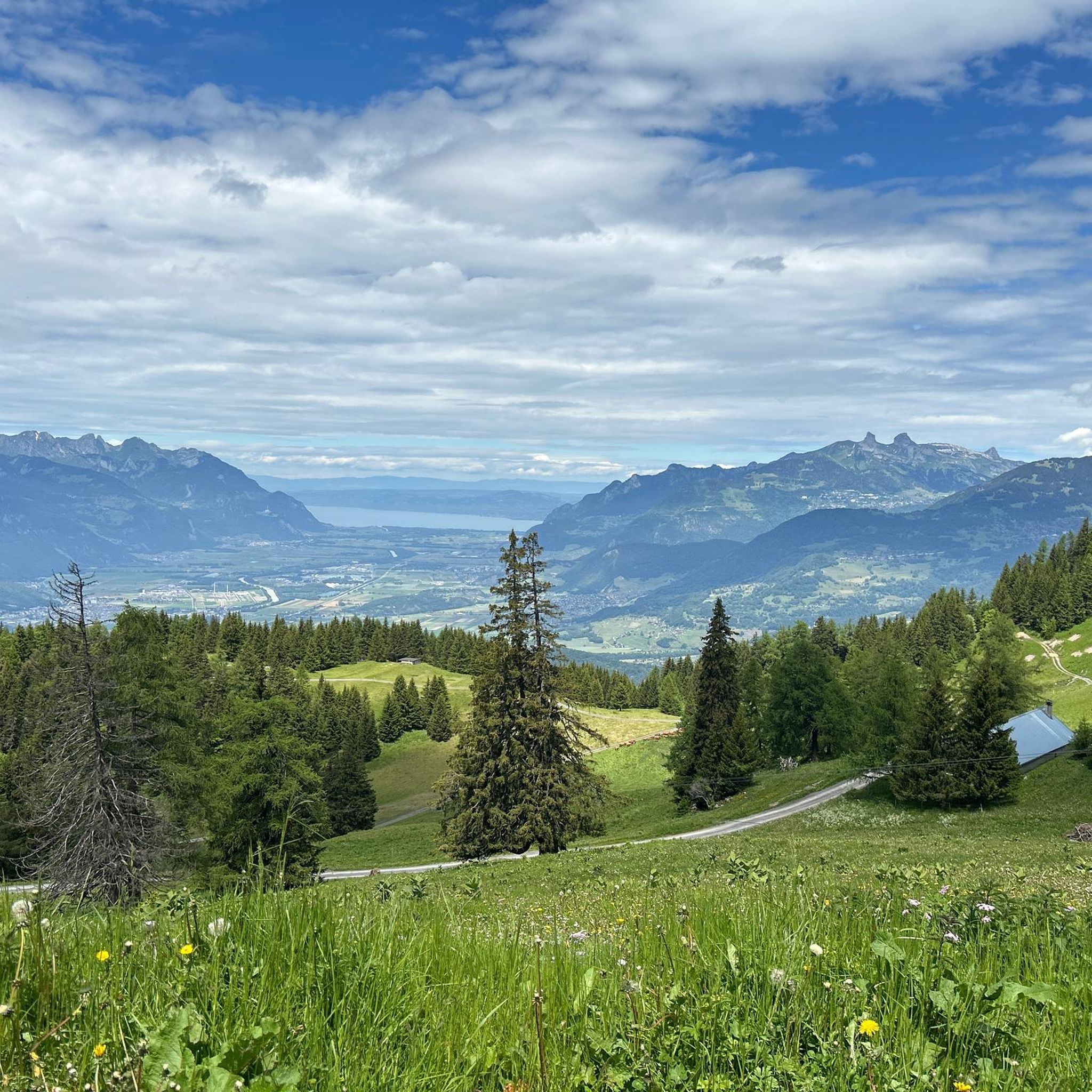
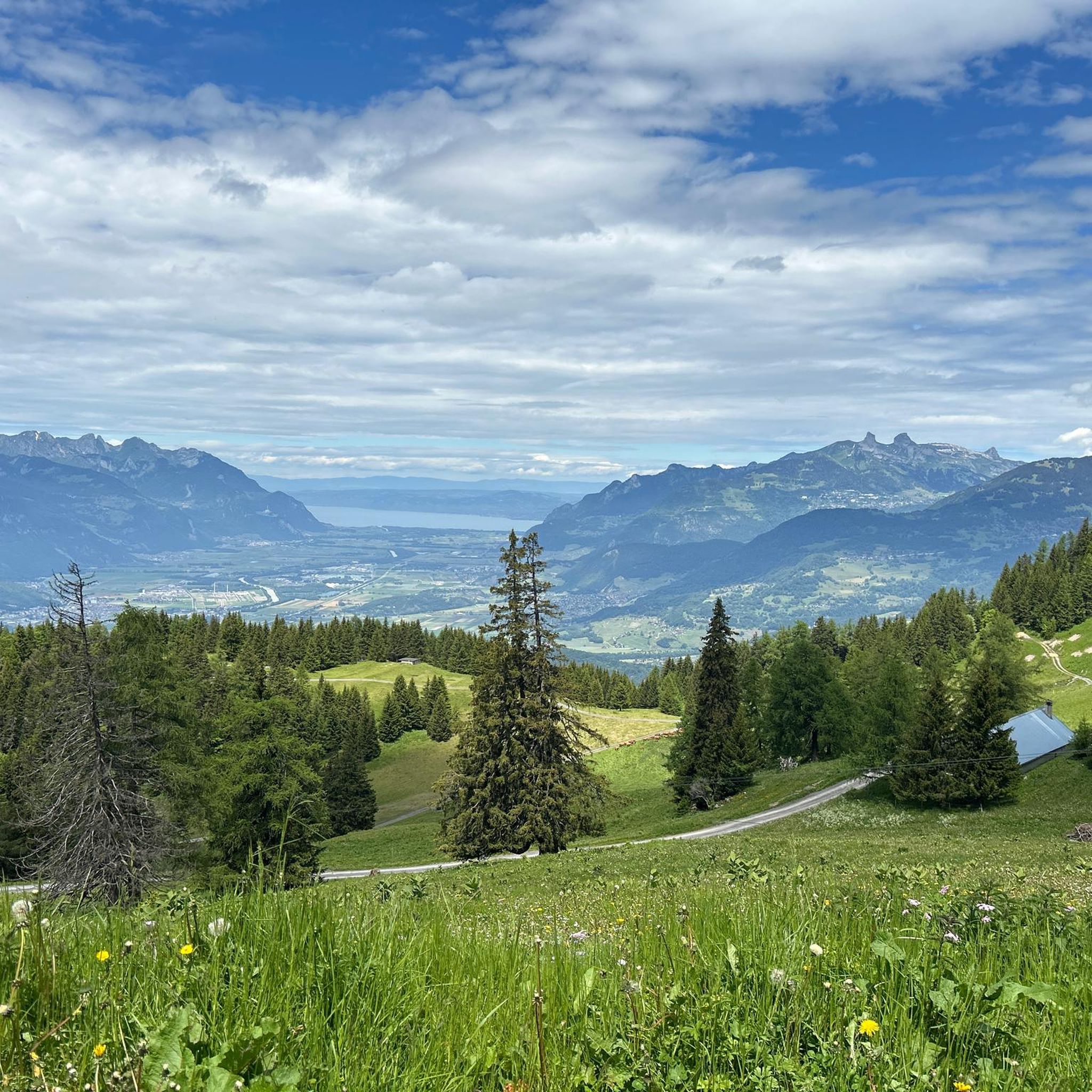
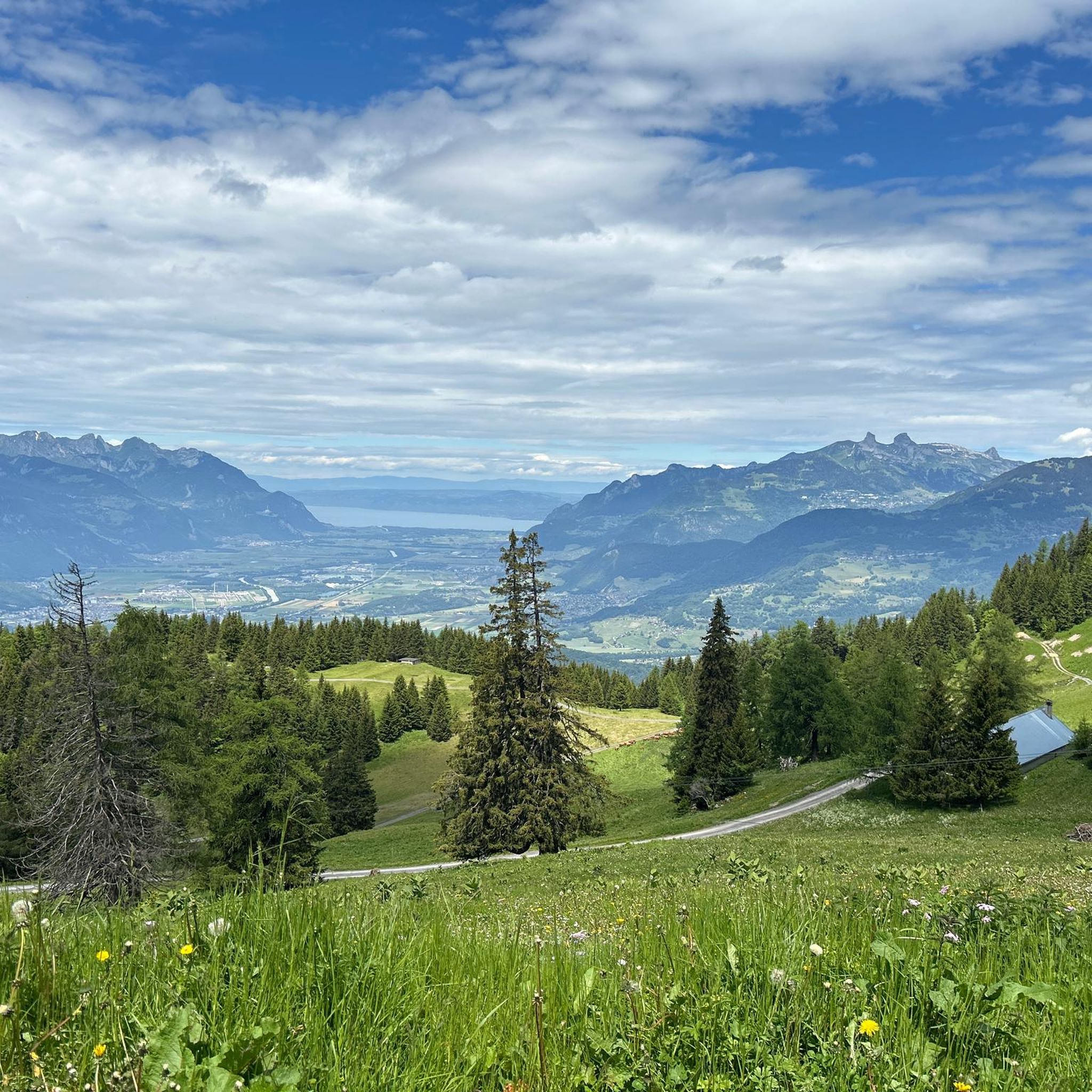
From Martigny, the approximately ten-kilometer-long western ramp leads to the Col des Planches. It's steepest right at the beginning, but the view of the Rhône Valley makes up for it.
2
0
If you tackle the Col du Lein from Saxon, a winding and scenic ride awaits you. Shortly before the summit, the single-track road turns into firm gravel, which is nevertheless easily rideable even on a road bike.
1
0

The Col road goes from Martigny at 471 m with an average gradient of about 9%, over the Col des Planches then descends to Sembrancher at 717 m with an average gradient of 7%. The view over the Rhone Valley is superb.
1
0

Cascade de Pissevache, also known as Cascade de Salanfe, is an impressive waterfall located between Martigny and Saint-Maurice in the canton of Valais. The Cascade de Pissevache has a height of 116 meters and is fed by the water of the Salanfe river. This majestic waterfall is considered one of the most beautiful sights in the country.
9
0

Very nice crossing to Sembrancher! With Champes Lac it makes a great road bike circuit!
1
0

Frequently Asked Questions
How many road cycling routes are available around Lavey-Morcles?
There are over 95 road cycling routes in the Lavey-Morcles region, offering a wide range of options from easy riverside paths to challenging alpine climbs.
Are there any easy road cycling routes suitable for beginners in Lavey-Morcles?
Yes, Lavey-Morcles offers several easy routes. An excellent option for beginners is the Martigny along the Rhône — loop from Saint-Maurice, which follows the Rhône River with a flatter profile, covering about 19.2 miles (30.9 km).
What are some challenging road cycling routes for experienced riders in Lavey-Morcles?
For experienced riders seeking a challenge, the region provides routes with significant elevation gain. Consider the Villars sur Ollon — loop from Saint-Maurice, a difficult 24.7 miles (39.7 km) trail ascending towards Villars-sur-Ollon, or the Morcles Climb Loop from Saint-Maurice, which covers 16.1 miles (25.9 km) through mountainous terrain.
Are there circular road cycling routes in the Lavey-Morcles area?
Many of the road cycling routes in Lavey-Morcles are designed as loops, allowing you to start and finish in the same location. Examples include the Van d'en-Haut Loop from Saint-Maurice and the Martigny along the Rhône — loop from Saint-Maurice.
What kind of attractions can I see along the road cycling routes in Lavey-Morcles?
The routes often pass by historical and natural landmarks. You might encounter the impressive Château de Saint-Maurice, the scenic Farinet Footbridge, or the charming Saillon Medieval Village.
What is the best time of year for road cycling in Lavey-Morcles?
The best time for road cycling in Lavey-Morcles is typically from spring through autumn (April to October). During these months, the weather is generally mild, and the alpine passes are clear of snow, offering optimal conditions for both valley rides and mountain ascents.
Are there any viewpoints or scenic spots along the road cycling routes?
Yes, the region is known for its stunning views. Routes that ascend into the alpine foothills, such as those towards Villars-sur-Ollon or Morcles, offer panoramic vistas of the Rhône Valley and surrounding peaks. The Dent de Valerette Summit, while not directly on a road cycling route, is a prominent feature in the landscape providing a sense of the dramatic scenery.
What do other road cyclists say about the routes in Lavey-Morcles?
The road cycling routes in Lavey-Morcles are highly regarded by the komoot community, with an average rating of 4.4 stars from over 70 reviews. Cyclists frequently praise the diverse terrain, from flat river paths to challenging mountain climbs, and the beautiful scenery of the Rhône Valley and alpine foothills.
Is public transport accessible near the road cycling routes in Lavey-Morcles?
Many routes, particularly those starting from Saint-Maurice, are well-connected by public transport. Saint-Maurice is a key hub in the region, making it convenient to arrive by train and begin your ride directly from there.
Where can I find parking for road cycling in Lavey-Morcles?
Parking is generally available in the larger towns and villages that serve as common starting points for routes, such as Saint-Maurice. Look for designated public parking areas, often near train stations or town centers, which provide convenient access to the cycling network.
Are there cafes or places to stop for refreshments along the road cycling routes?
Yes, as you cycle through the Rhône Valley and into the villages, you'll find various cafes, restaurants, and small shops where you can stop for refreshments. Larger towns like Saint-Maurice and Martigny offer ample choices for a break.
What are the winter conditions like for road cycling in Lavey-Morcles?
Winter conditions can vary significantly. While routes in the Rhône Valley might remain rideable, especially on clear days, higher alpine passes and climbs will likely be affected by snow and ice, making them unsuitable or dangerous for road cycling. It's best to check local weather and road conditions before planning a winter ride.
Most popular routes around Lavey-Morcles
Most popular attractions around Lavey-Morcles

Get inspired with the komoot mobile app


Explore more
Browse the best Road cycling routes in other regions.
