The 9 Most Amazing Peaks around Leibstadt
Best mountain peaks around Leibstadt are situated in a region characterized by elevated areas that are more akin to hills or plateaus, rather than prominent mountain peaks. The municipality of Leibstadt, located in the Swiss canton of Aargau, features a landscape between the Wandfluh and Rhine rivers. Notable elevated features include the Wandfluh, a steep area with limestone rocks, and a Southern Plateau reaching up to 509 meters above sea level. The Hochwacht, at 462 meters, forms the southeastern border,…
Last updated: October 16, 2026
Cheisacherturm Lookout Tower
Highlight • Viewpoint
Translated by Google •
Tip by

Ampfernhöhe
Highlight • Mountain Pass
Translated by Google •
Tip by

Sign up now to discover places like this
Get recommendations on the best single tracks, peaks, & plenty of other exciting outdoor places.
Bürersteig Pass
Highlight • Mountain Pass
Translated by Google •
Tip by

Bad Zurzach
Highlight • Settlement
Zurzachs as place of pilgrimage after the death of the holy Verena in the year 344 n. Chr. The burial …
Translated by Google •
Tip by

Summit of the Hottwil Climb
Highlight • Summit
Tip by

Sign up for free to discover even more peaks around Leibstadt.
Already have an account?
Start today with a free account
Your next adventure awaits.
Tips from the Community

Arrived at the summit of the Bürersteig (550 m above sea level), a versatile hub for cyclists and mountain bikers in the Jurapark Aargau opens up. Those who have mastered the ascent from Mönthal or Gansingen do not have to go directly down the fast descent to Remigen – there is plenty to discover at the top: Discover military history: The Bürersteig fortified position Directly in the area of the pass and in the adjacent forest areas, you will encounter historical concrete structures from the Second World War and the Cold War. Purpose of the facility: The pass was part of the Swiss Army's Bürersteig fortified position. Its mission was to block a potential enemy advance from the Rhine Valley across the Jura towards the Mittelland and the Aare Valley.
1
0

Pleasant gradient, easy to manage. Beware, we are not alone on the road. Especially when going downhill. The route is also popular with motorcyclists and cars, especially on weekends and holidays when the weather is nice.
1
0

The Ampferehöchi done, many new trail possibilities are waiting to be explored
0
0


is on the tour, very steep, short climb: 80 m, rapid descent on the other side
0
0

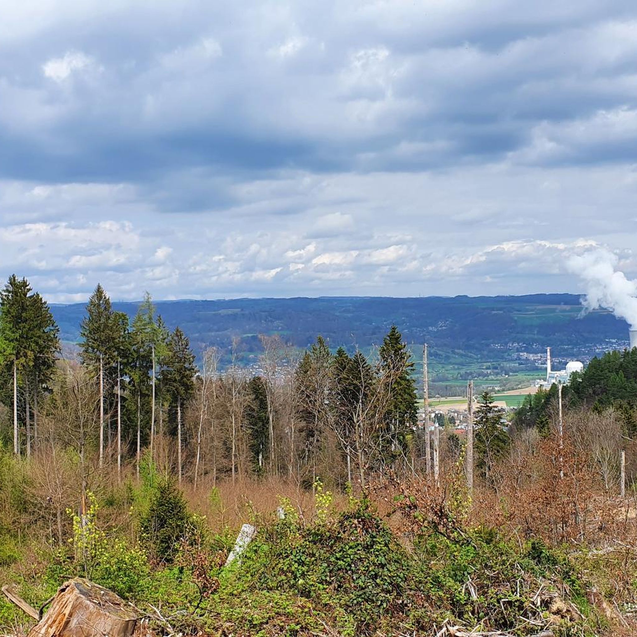
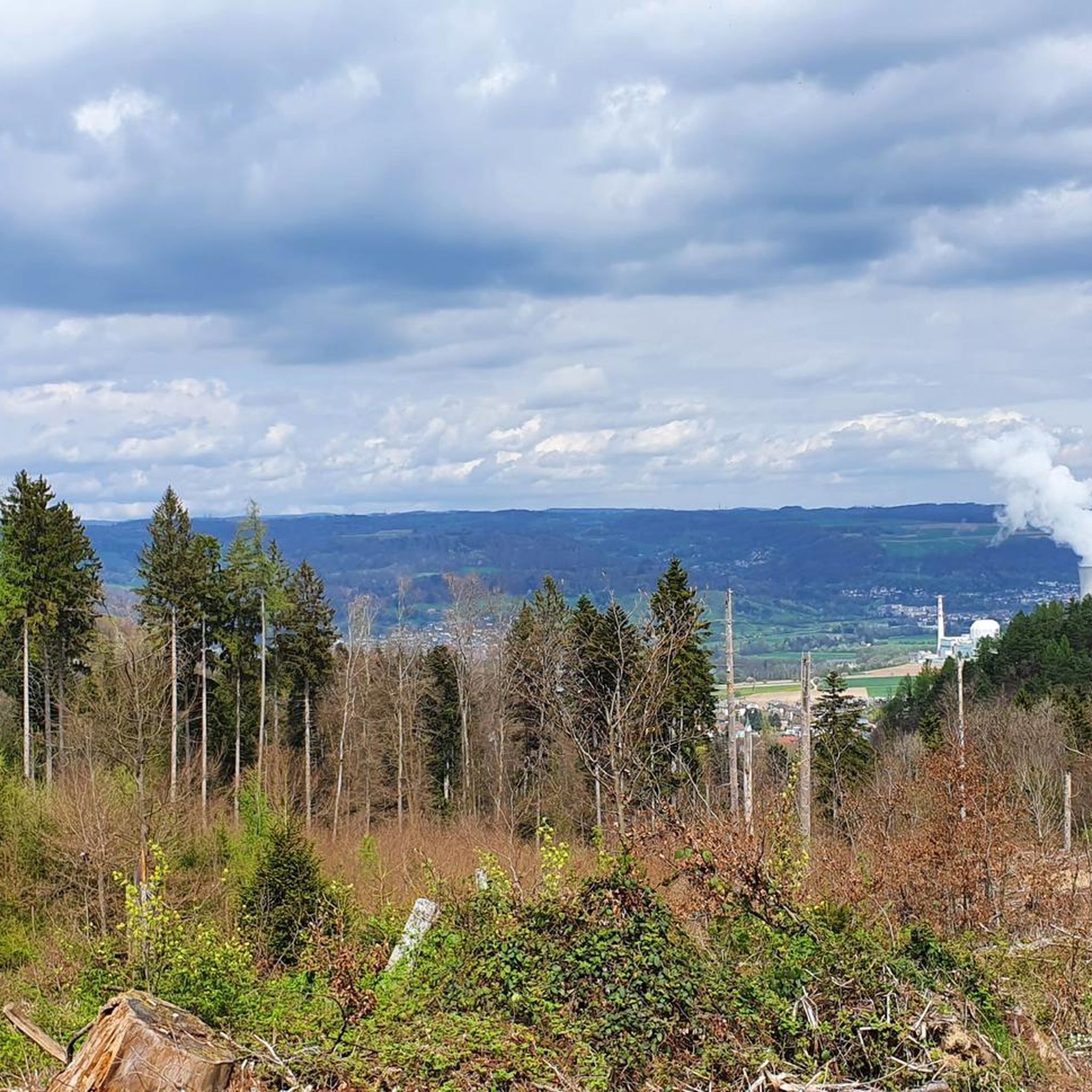
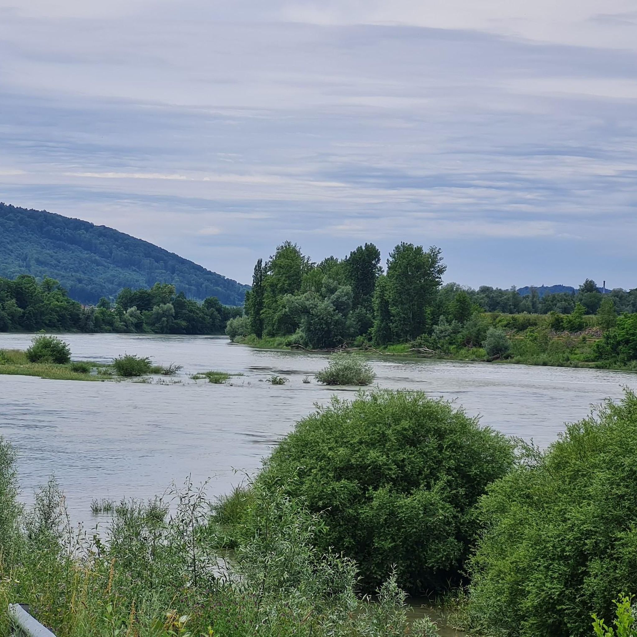
The climb from Hottwil finishes with a nice reward of the valley below towards the Rhein Valley, the Black Forest in Germany and on the other side a view of the Aare Valley with Brugg and Baden in the background. The descent to Remigen is on a smooth asphalted service and there is a fountain to fill up your water bottles at the main intersection in Remingen.
0
0


Place of pilgrimage, health resort etc - the village has a lot to offer
0
0
Frequently Asked Questions
What kind of elevated areas can I explore around Leibstadt?
The region around Leibstadt features elevated areas that are more akin to hills or plateaus rather than prominent mountain peaks. Notable features include the Wandfluh, characterized by steep limestone rocks, a Southern Plateau reaching up to 509 meters, and the Hochwacht at 462 meters, which forms the southeastern border of the municipality.
Are there any viewpoints with panoramic views near Leibstadt?
Yes, several spots offer excellent views. The Cheisacherturm Lookout Tower is a popular choice, providing panoramic views of the Alps and their snow-capped peaks. Another great option is the Rest bench, which offers an all-round view of Mandach and its surroundings from its highest point.
Are there family-friendly spots among the elevated areas in Leibstadt?
Absolutely. The Cheisacherturm Lookout Tower is considered family-friendly, offering places to linger and have a picnic. The Rest bench also welcomes families, providing a wonderful panoramic view. Additionally, the historic town of Laufenburg AG is family-friendly and wheelchair accessible, offering a different kind of experience.
What are the best places for a moderate climb or drive around Leibstadt?
For a pleasant drive or cycle with a moderate ascent, consider Ampfernhöhe. It's a mountain pass accessible via a secondary road, offering a consistent and moderate increase through shady forest. If you prefer a climb with a rewarding view, the Summit of the Hottwil Climb offers views towards the Rhein Valley, the Black Forest, and the Aare Valley.
What outdoor activities can I do near the elevated areas of Leibstadt?
The region offers a variety of outdoor activities. You can find numerous hiking trails, mountain biking routes, and road cycling paths. For detailed information and routes, explore the Hiking around Leibstadt, MTB Trails around Leibstadt, and Road Cycling Routes around Leibstadt guides.
Are there specific hiking trails near Leibstadt's elevated features?
Yes, there are several hiking trails that allow you to explore the local topography. For example, you can find routes like the 'Grill Area Above Wandflue loop from Leibstadt' which takes you near the Wandfluh. For a comprehensive list of trails, including easy and moderate options, refer to the Hiking around Leibstadt guide.
What do visitors appreciate most about the elevated areas around Leibstadt?
Visitors particularly enjoy the panoramic views, especially from spots like the Cheisacherturm Lookout Tower, which offers stunning vistas of the Alps. The harmonious integration of structures into the landscape and the opportunities for picnics and extended stays are also highly valued. The komoot community has shared over 800 photos and given more than 600 upvotes, highlighting the scenic beauty and enjoyable experiences.
Can I find historical sites or cultural points of interest in the Leibstadt region?
While the focus is on elevated areas, the municipality of Leibstadt itself has historical context as a border village. The nearby town of Laufenburg AG is a notable historical site located on the Upper Rhine, offering a glimpse into the region's past.
What is the general elevation range in Leibstadt?
The general elevation range in Leibstadt is between 302 and 538 meters (991–1,765 ft) above sea level. This range includes various hills and plateaus that define the local landscape.
Are there any cafes or places to eat near the elevated trails in Leibstadt?
While specific cafes directly on mountain trails are not detailed, the historic town of Laufenburg AG, a highlight in the region, does offer cafe options. It's a good place to visit for refreshments after exploring the nearby elevated areas.
What are some of the most popular elevated spots in the Leibstadt area?
Among the most popular spots are the Cheisacherturm Lookout Tower, known for its extensive views, and Ampfernhöhe, a pleasant mountain pass. The Rest bench is also highly regarded for its panoramic views from the highest point in its vicinity.
Most popular routes around Leibstadt
Most popular attractions around Leibstadt

Get inspired with the komoot mobile app


Explore more
See even more amazing summits around Leibstadt with these guides:
