Top 5 Natural Monuments around Tomales
Best natural monuments around Tomales are concentrated near Tomales Bay and Point Reyes National Seashore, an area shaped by the San Andreas Fault. This region features diverse ecosystems, including coastal lagoons, beaches, and forests. It is recognized for its significant wildlife populations and varied landscapes. The area offers opportunities to explore geological features and natural habitats.
Best natural monuments around Tomales
- The most popular natural monuments is Estero de San Antonio, a river and coastal lagoon formed by a…
Last updated: August 18, 2026
Estero de San Antonio
Highlight • River
Tip by

Elephant Rocks
Highlight • Natural Monument
Tip by

Sign up now to discover places like this
Get recommendations on the best single tracks, peaks, & plenty of other exciting outdoor places.
Sign up for free
Horizontal Tree
Highlight • Natural
Tip by
Two Rock (Dos Piedras) Memorial
Highlight • Natural Monument
Tip by
View of Tomales Point Cliffs
Highlight • Viewpoint
Tip by

Start today with a free account
Your next adventure awaits.
Login or Signup
Popular around Tomales
Tips from the Community

Iconic free standing granite outcrops with caves and polished walls to explore, visible from far away at the top of Dillon Beach Road. A social trail climbs down to explore the caves and cool area between the tall free-standing rock walls.
0
0

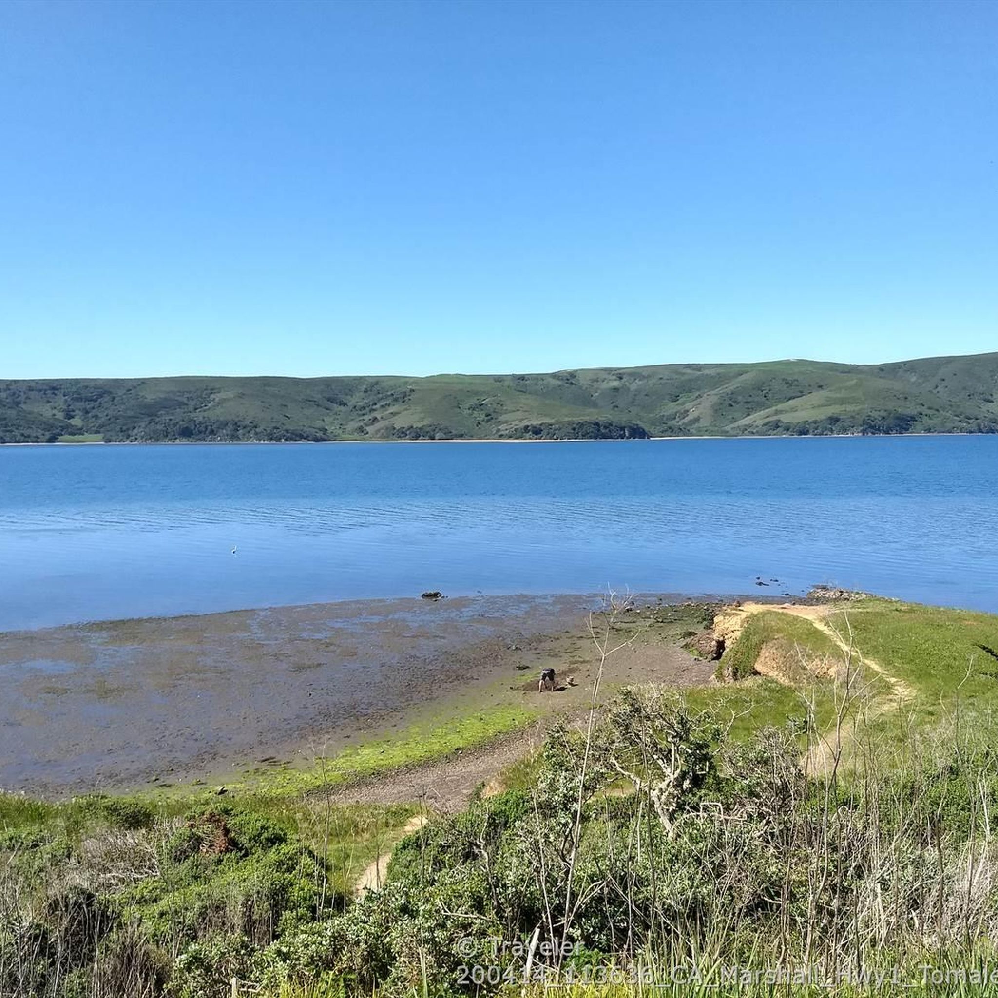
Tomales Point (aka Pierce Point) is located at the northern end of Point Reyes National Seashore. The Tomales Point area is a popular destination for visitors wishing to view tule elk, birds, and wildflowers. The historic Pierce Point Ranch offers a glimpse into the early dairy ranching days on the peninsula. A short 0.4-mile (0.6-km) trail leads down to the beautiful McClures Beach. The 9.7-mile (15-km) round-trip Tomales Point Trail leads along the ridge crest of a narrow peninsula, offering spectacular views of Tomales Bay and Bolinas Ridge to the east, Bodega Bay to the north, and the coastline of the Point Reyes peninsula stretching to the south.
0
0

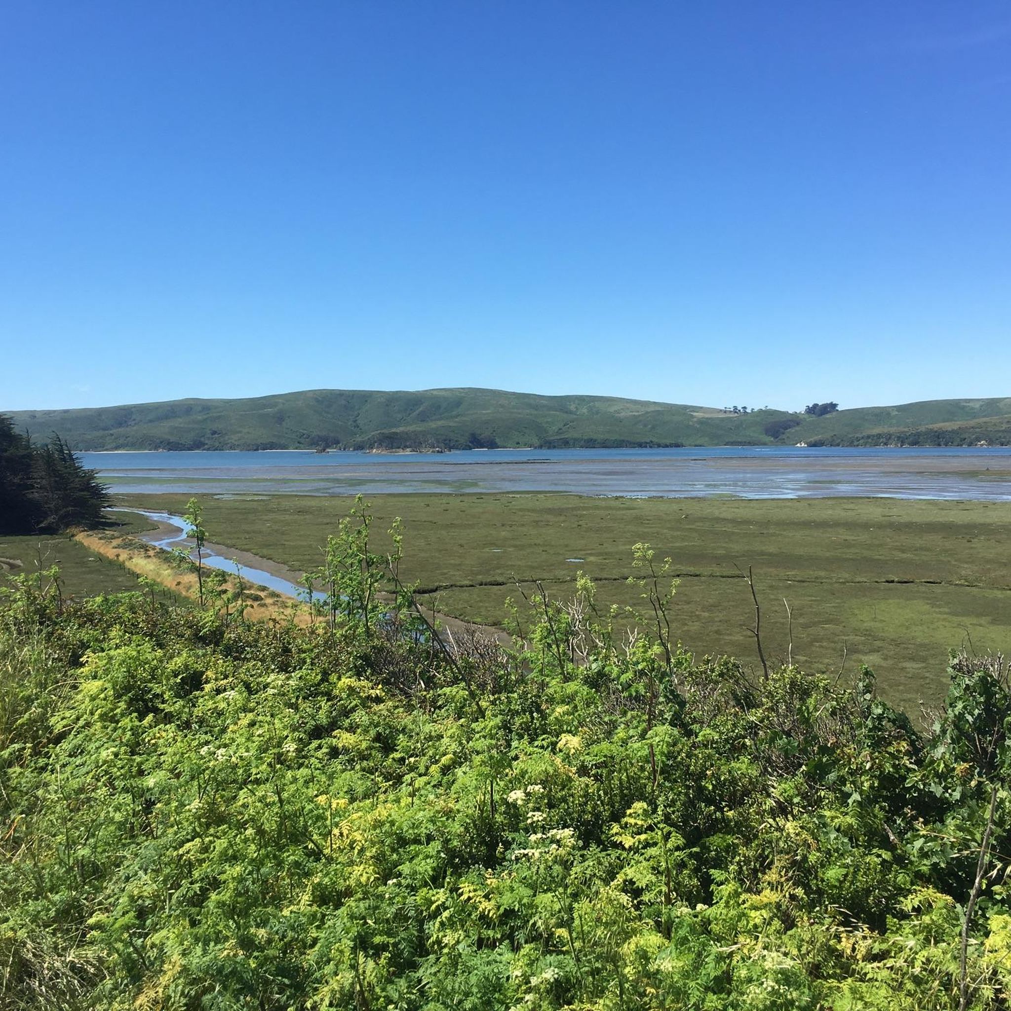
This small coastal lagoon is formed by a sandbar that dams Stemple Creek, which starts in the hills of Marin County and flows west near the mouth of Tomales Bay, southeast to Bodega Bay, northwest of Dillon Beach. A variety of seabirds and water species rely on its natural environment, including 923 acres of associated wetlands. The California Department of Fish and Wildlife identifies this marine protected area as one of the most significant habitat areas in the state.
1
0
The two tall rocks towering high up on the ridge served as memorable waypoints for the native Indian trail from the coast at what is today Bodega Bey and the inland valleys, and the Sierra.
1
0
Iconic free standing granite outcrops with caves and polished walls to explore
0
1
The gate formed by the tall rocks on the ridge here have been an important waypoint for thousands of years
0
0
After climbing all the way to the summits of the ridges on either side of this valley, the road drops back down all the way to sea level to cross the esteros, valleys with rivers affected by the tidal push of water upstream.
0
0
At the summit of the steep road climbing south from Valley Forge the wind has blown over a tree a couple of years ago. It fell with its roots straight up in the air, but some remained connected and the tree continues to grow vertically. The grass has covered the area where the tree was uprooted, making for a fascinating sight.
0
0
Frequently Asked Questions
What unique geological features can I explore around Tomales?
The Tomales area is shaped by the San Andreas Fault, which runs through Tomales Bay and Point Reyes National Seashore. You can also visit Elephant Rocks, iconic free-standing granite outcrops with caves and polished walls, or the Two Rock (Dos Piedras) Memorial, which features tall rocks that served as ancient waypoints.
What kind of wildlife can I expect to see in the natural monuments near Tomales?
The region is rich in wildlife. At Tomales Point within Point Reyes National Seashore, you have the best chance to observe tule elk in their natural habitat. Tomales Bay is vital for various fish species, harbor seals, and supports approximately 20,000 wintering shorebirds. Abbotts Lagoon is renowned for exceptional birdwatching, especially during fall and winter migrations, where you might spot peregrine falcons and snowy plovers.
Are there any unusual natural sights to discover in the Tomales area?
Yes, you can find the Horizontal Tree, a fascinating sight where a fallen tree continues to grow vertically with its roots exposed. Additionally, Tomales Bay State Park contains one of the finest remaining virgin groves of Bishop pine in California, the Jepson Memorial Grove.
What makes Tomales Bay a significant natural monument?
Tomales Bay is a geologically significant inlet formed along a submerged portion of the San Andreas Fault. It's recognized as a wetland of international importance and is a critical ecological area supporting diverse habitats, including extensive seagrass beds and vital spawning grounds for fish. It's also home to a resident harbor seal breeding population and numerous bird species. You can learn more about its ecological importance on noaa.gov.
What are some popular hiking trails to experience the natural monuments?
The Tomales Point Trail, a 9.7-mile round-trip within Point Reyes National Seashore, offers spectacular views and the best chance to see tule elk. Another excellent option is the easy, mostly flat trails at Abbotts Lagoon, which lead through coastal scrub to a wild beach, perfect for birdwatching.
Are there opportunities for water activities near Tomales' natural monuments?
Yes, Tomales Bay offers excellent opportunities for kayaking, boating, and observing marine wildlife. Tomales Bay State Park features several gently sloping, surf-free beaches like Heart's Desire, Indian, Pebble, and Shell Beach, which are ideal for swimming, picnicking, and non-motorized boating in calm waters. You can find more information about the park on ca.gov.
What cycling routes are available near the natural monuments around Tomales?
There are several cycling routes to explore the area. For road cycling, you can find routes like the 'Marin Coastal and Pacific Coast Bike Route' or the 'Tomales – Nick's Cove and Boat Launch loop from Dillon Beach'. For touring, consider the 'Dillon Beach & Estero de San Antonio loop' or the 'Estero de San Antonio – Tomales loop from Tomales'. You can find more details on these and other routes in the Road Cycling Routes around Tomales and Cycling around Tomales guides.
Are there family-friendly natural monuments suitable for children?
Many natural monuments in the area are family-friendly. Estero de San Antonio is a great spot for observing seabirds and water species. The calm, shallow waters of Heart's Desire Beach in Tomales Bay State Park are perfect for families. Elephant Rocks also offers an interesting exploration for children with its caves and rock formations.
Are there any accessible natural monuments or trails in the Tomales area?
Abbotts Lagoon offers mostly flat trails, making it a good option for those seeking easier access. Tomales Bay State Park also features gentle beaches and trails, such as the one leading to the Jepson Memorial Grove, which are generally less strenuous. Always check specific trail conditions for the most up-to-date accessibility information.
When is the best time to visit the natural monuments around Tomales for wildlife viewing or wildflowers?
For tule elk viewing, the rutting season from July to October is particularly captivating at Tomales Point. Birdwatching at Abbotts Lagoon is exceptional during fall and winter migrations. Spring brings vibrant wildflowers to many areas within Point Reyes National Seashore and Tomales Point. The weather patterns around Tomales Bay can vary, so checking local forecasts is always recommended.
What can I expect to see at Point Reyes National Seashore?
Point Reyes National Seashore is a vast preserve with over 71,000 acres of diverse landscapes, including windswept beaches, dramatic coastal cliffs, estuaries, and forests. It's a sanctuary for an astonishing array of wildlife, harboring 45% of North America's bird species and 18% of California's plant species. Visitors can spot marine mammals like whales, harbor seals, and elephant seals, as well as a variety of land mammals and birds.
Are there any historical sites connected to the natural monuments?
Yes, the Two Rock (Dos Piedras) Memorial highlights two tall rocks that served as important waypoints for native Indian trails for thousands of years. Within Point Reyes National Seashore, the historic Pierce Point Ranch offers a glimpse into the early dairy ranching days on the peninsula, connecting the natural landscape with human history.
Most popular routes around Tomales
Most popular attractions around Tomales

Get inspired with the komoot mobile app


Explore more
Extend your search for the best caves by checking out these guides of the top ones around Tomales:
