San Bernardino National Forest
San Bernardino National Forest
Top 6 Mountain Passes in San Bernardino National Forest
Best mountain passes in San Bernardino National Forest traverse a vast expanse of mountainous terrain in Southern California. This region features prominent passes that offer access to diverse recreational opportunities. The San Bernardino Mountains form a significant part of this landscape, providing critical transportation routes and gateways to natural beauty. The area is known for its varied elevations and geological features.
Best mountain passes in San Bernardino National Forest
- The most popular mountain pass is Wellman Divide, a mountain…
Last updated: September 1, 2026
Wellman Divide
Highlight • Mountain Pass
Tip by

Icehouse Saddle
Highlight • Mountain Pass
Tip by

Sign up now to discover places like this
Get recommendations on the best single tracks, peaks, & plenty of other exciting outdoor places.
Sign up for free
Cajon Junction
Highlight • Mountain Pass
Translated by Google •
Tip by

Onyx Summit
Highlight (Segment) • Summit
Tip by

Onyx Summit
Highlight • Mountain Pass
Tip by
Sign up for free to discover even more mountain passes in San Bernardino National Forest.
Sign up for free
Already have an account?
Start today with a free account
Your next adventure awaits.
Login or Signup
Popular around San Bernardino National Forest

Pacific Crest Trail from Mexico to Canada – 4,200 kilometres of wilderness
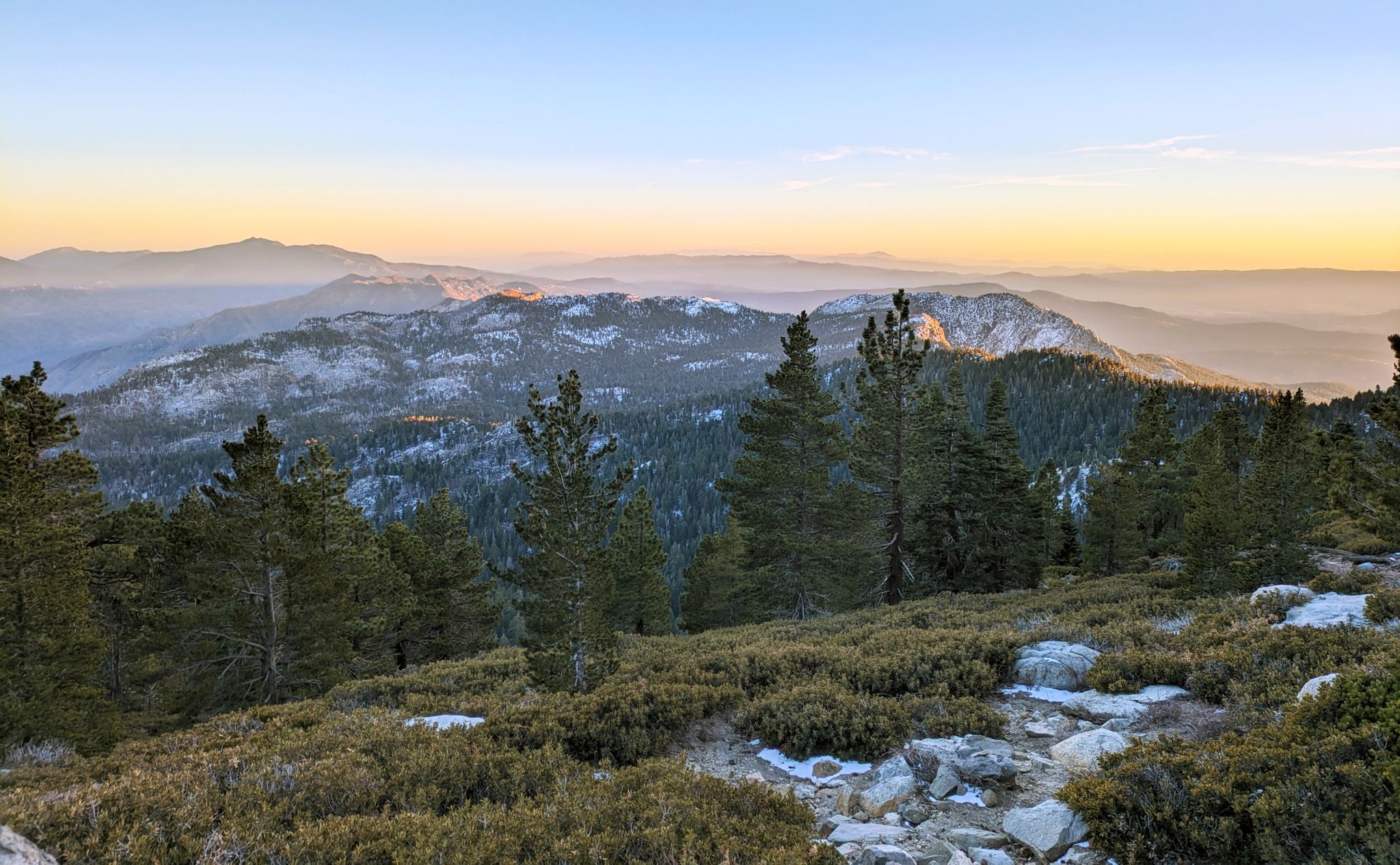
Climbing Mount San Jacinto on the Deer Springs Trail
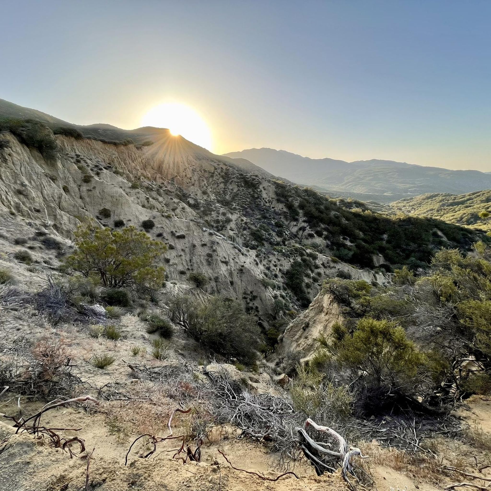
Hiking in San Bernardino National Forest
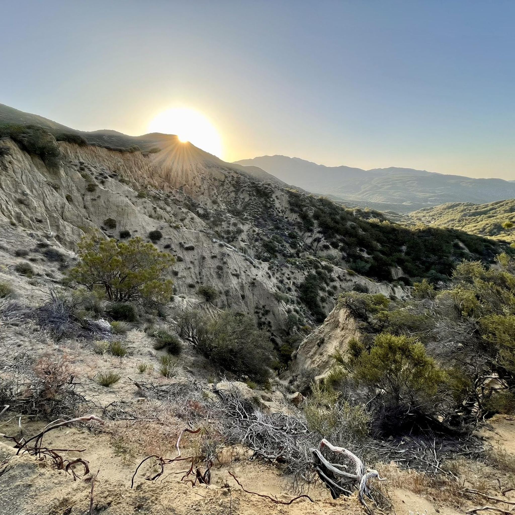
MTB Trails in San Bernardino National Forest
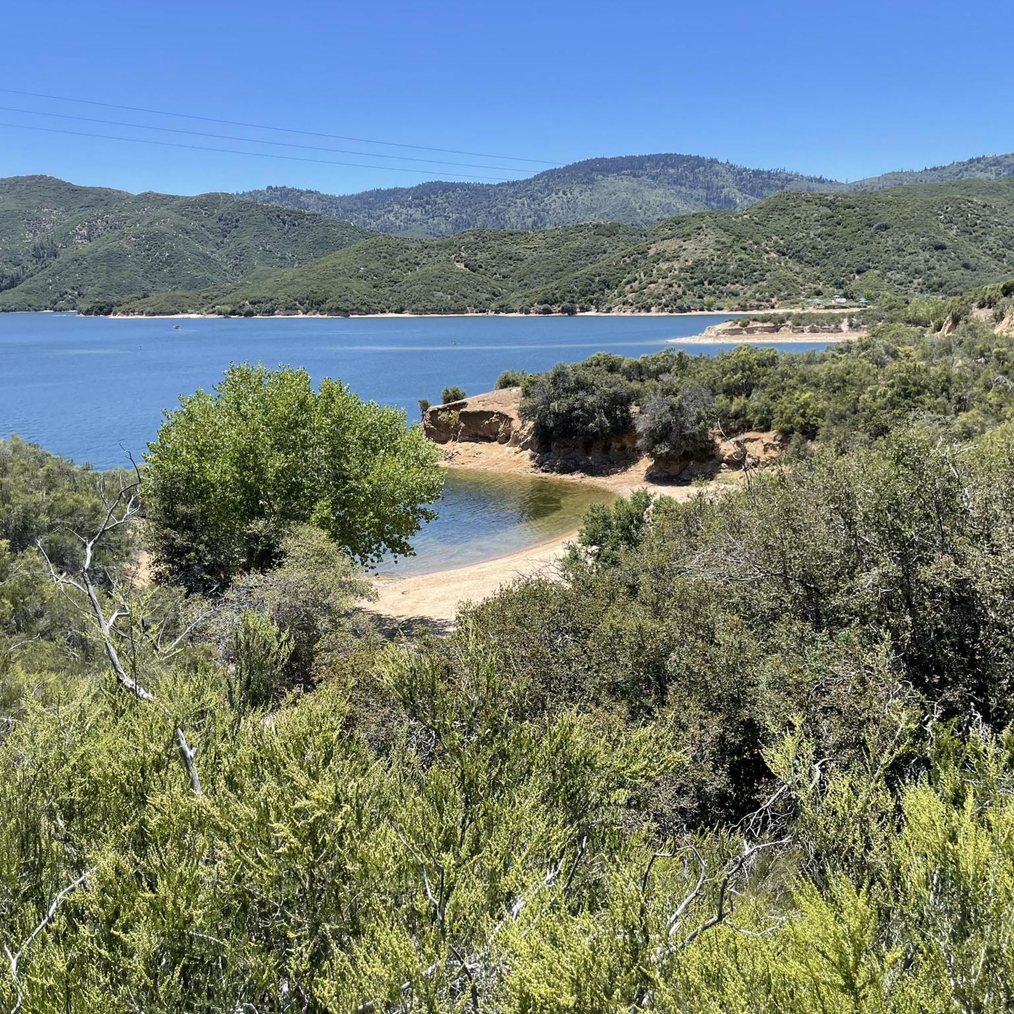
Running Trails in San Bernardino National Forest
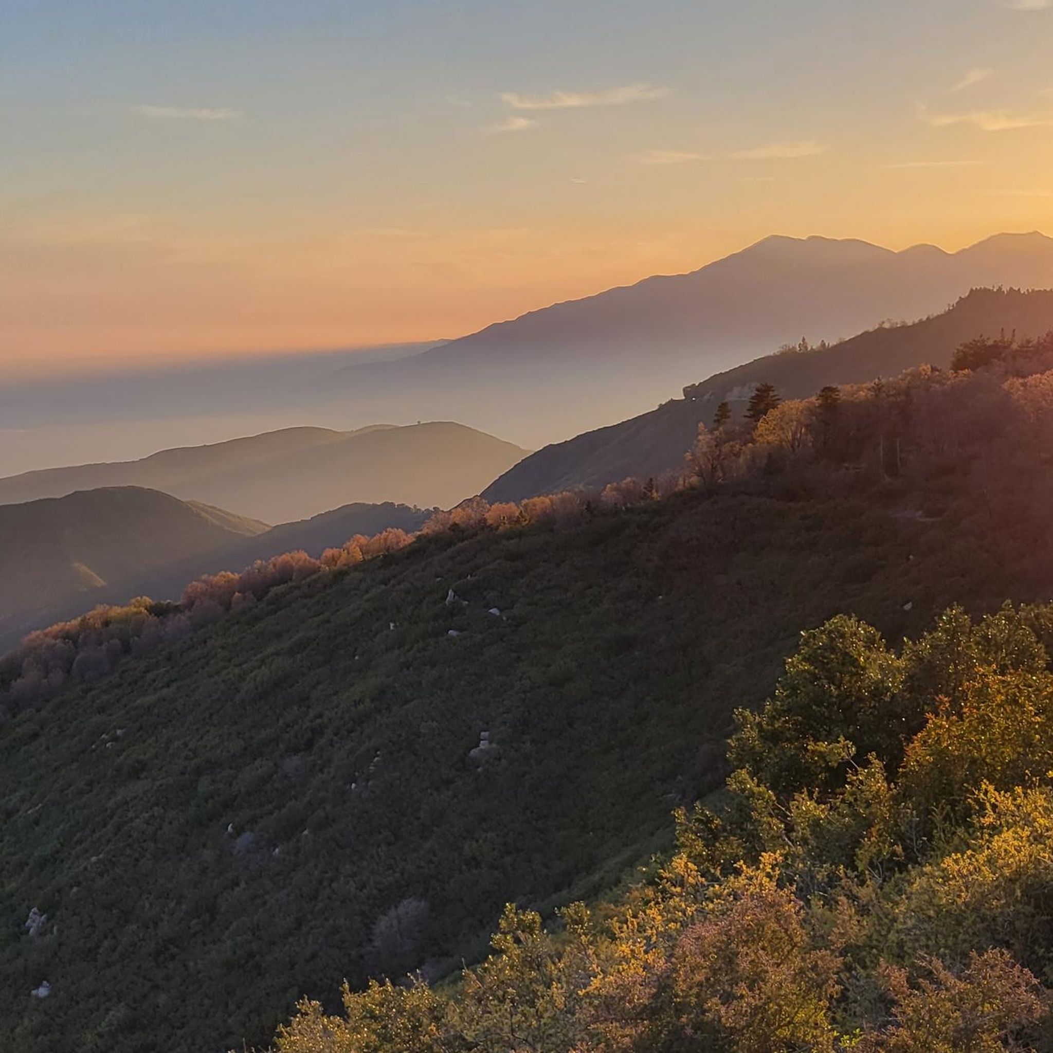
Road Cycling Routes in San Bernardino National Forest
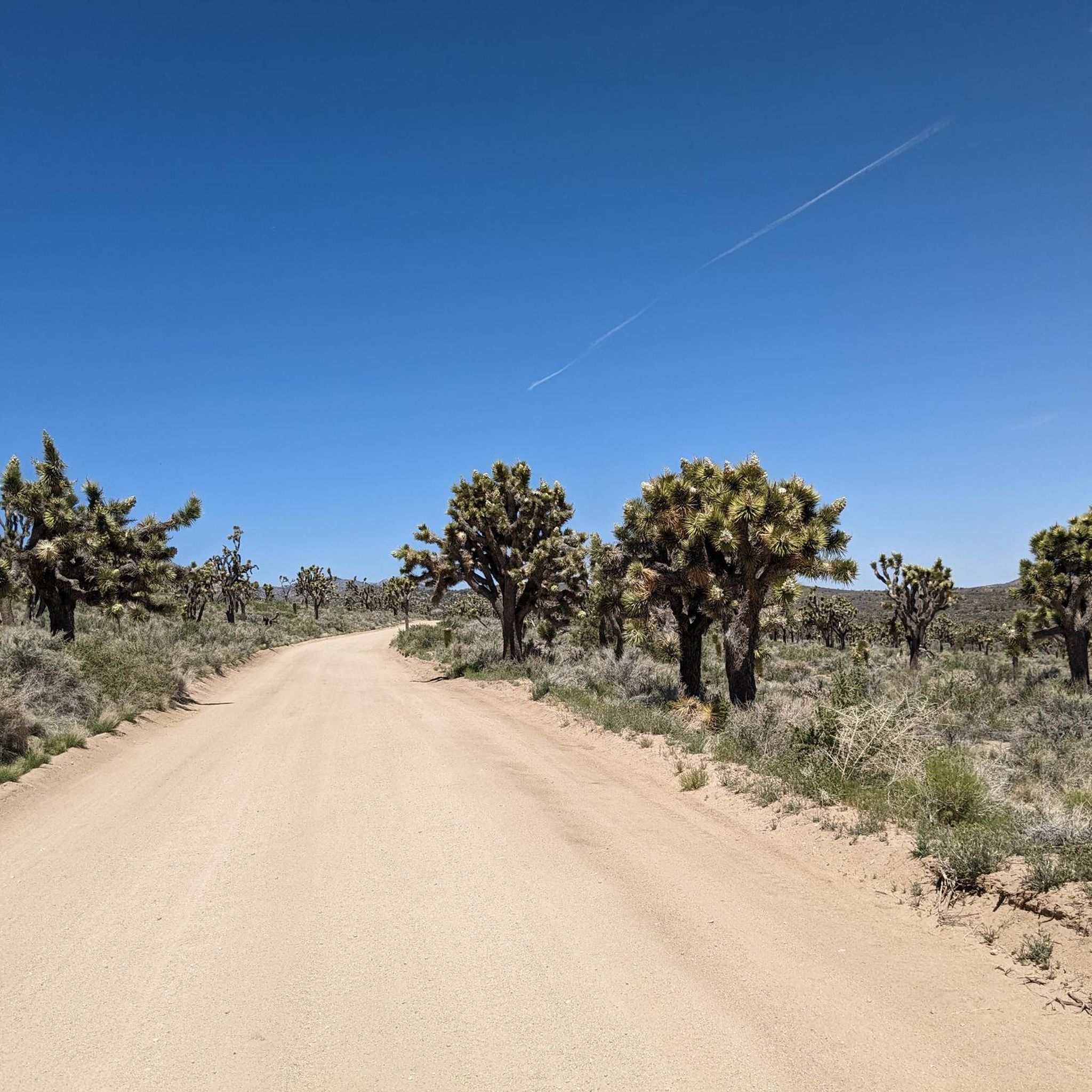
Cycling in San Bernardino National Forest
Other adventures in San Bernardino National Forest


Tips from the Community

This legendary climb takes you to the highest and longest peak in Southern California, ascending through the picturesque San Bernardino Mountains. Starting from the U.S. Forest Service Mill Creek Visitor Center, you'll face varying weather conditions, with hot summers and stormy, chilly winters adding to the challenge. The road leads you all the way to Big Bear Lake, offering stunning vistas of dense forests, rugged mountain terrain, and expansive valleys below, making it a rewarding experience for those willing to brave the elements and enjoy the beauty of the San Bernardino National Forest.
0
0

Cajon Pass, nestled between the San Bernardino and San Gabriel Mountains, has desert views and active train lines running through the area. Visitors take advantage of convenient fast-food stops here as well.
1
0
Onyx Summit is a mountain pass in the San Bernardino Mountains. It sits at an elevation of 8,443 ft. (2,573 m) above sea level and is the highest paved pass in Southern California. It's on State Route 38, which traverses it at post marker mile 39.37.
0
0
Wellman Divide is at a trail junction at 9700 feet above sea level. From here you can choose to go... South on Wellman's Cienaga Trail... East on Round Valley trail, taking you back to the restaurant... Or North on Peak Trail to the San Jacinto Summit.
0
0
Wellman's Divide is at a trail junction at 9700 feet above sea level. From here you can choose to go... South on Wellmen's Cienaga Trail... East on Round Valley trail taking you back to the restaurant... Or North on Peak Trail to the San Jacinto Summit
0
0

Last chance to look out West before hitting the valleys again.
0
0

Whatever your goal for today might be – Cucamonga Peak or any other scenic summit in the Cucamonga Wilderness – this junction is a perfect spot to take a break and eat some snacks. Gain some strength for your way up the beautiful mountains.
3
0

Gigantic railway loops at the Cajon Junction.
1
0
Frequently Asked Questions
What are some of the most notable mountain passes to visit in San Bernardino National Forest?
The San Bernardino National Forest features several prominent mountain passes. Among them are Wellman Divide, a high-elevation trail junction, and Icehouse Saddle, another key trail junction in the Cucamonga Wilderness. For those seeking scenic drives, Onyx Summit is the highest paved pass in Southern California, offering impressive vistas.
Which mountain passes offer the best viewpoints in the San Bernardino National Forest?
Many passes provide excellent viewpoints. Onyx Summit, located on State Route 38, offers stunning vistas of dense forests, rugged mountain terrain, and expansive valleys, especially rewarding for those traveling toward Big Bear Lake. The Rim of the World Scenic Byway, which connects Cajon Pass to San Gorgonio Pass, also provides spectacular wide views of the San Bernardino Valley and Big Bear Lake from various overlooks like the Silverwood Lake Overlook.
Are there any family-friendly mountain passes or areas to visit in the San Bernardino National Forest?
Yes, Cajon Junction, part of the broader Cajon Pass area, is considered family-friendly. It's known for its desert views and active train lines, which can be fascinating for all ages. Additionally, it offers convenient stops for travelers.
What kind of natural features can I expect to see around the mountain passes?
The mountain passes in San Bernardino National Forest showcase diverse natural beauty. You can expect to see dense forests, rugged mountain terrain, and expansive valleys around Onyx Summit. Cajon Pass offers unique desert landscapes, while San Gorgonio Pass is remarkable for its dramatic geological features and sheer depth, dropping into the Coachella Valley and bordering the San Gorgonio Wilderness.
What outdoor activities can I do near the mountain passes in San Bernardino National Forest?
The San Bernardino National Forest offers a wide range of outdoor activities near its mountain passes. You can find numerous hiking opportunities, including challenging routes like the San Jacinto Peak trails and easier options such as the Icehouse Canyon Trail. The region is also popular for camping and wildlife viewing. For more hiking ideas, explore the Hiking in San Bernardino National Forest guide.
What is the highest paved mountain pass in Southern California within the San Bernardino National Forest?
Onyx Summit holds the distinction of being the highest paved pass in Southern California. It sits at an elevation of 8,443 feet (2,573 meters) above sea level and is located on State Route 38.
Are there any mountain passes known for their historical or cultural significance?
While not specifically historical sites, passes like Cajon Pass have long served as critical transportation routes, connecting different regions and facilitating movement through the mountains for centuries. Cajon Pass is also notable for its active train lines, making it a popular spot for train enthusiasts.
What is the best time to visit the mountain passes in San Bernardino National Forest?
The San Bernardino National Forest is a year-round recreation destination. However, the best time to visit depends on your preferred activities. Summers are generally hot, while winters can be stormy and chilly, with tire chains sometimes necessary on routes like the Rim of the World Scenic Byway. For hiking, spring and fall often offer more moderate temperatures. Always check local weather and road conditions before your visit.
What makes San Gorgonio Pass unique among the mountain passes in the region?
San Gorgonio Pass is unique due to its dramatic geological features and exceptional depth. It is one of the deepest mountain passes in the United States, exceeding the Grand Canyon's depth by over 2,000 feet. It forms the southeastern boundary of the San Bernardino Mountains, dropping dramatically into the Coachella Valley, and is part of the San Gorgonio Wilderness.
Can I find challenging trails or climbs around the mountain passes?
Yes, the San Bernardino National Forest offers challenging routes. For instance, the area around Wellman Divide provides access to trails leading to the San Jacinto Summit, which are considered difficult. Similarly, Icehouse Saddle is a junction point for various scenic and challenging summits within the Cucamonga Wilderness. The climb to Onyx Summit is also described as a legendary and challenging ascent.
What is the Rim of the World Scenic Byway and how does it relate to the mountain passes?
The Rim of the World Scenic Byway is a spectacular 110-mile route that traverses the rim of the San Bernardino Mountains. It connects significant passes, running from Cajon Pass to San Gorgonio Pass. While not a single pass itself, it offers some of the most stunning vistas in Southern California and provides access to several scenic overlooks.
Most popular routes in San Bernardino National Forest
Most popular attractions in San Bernardino National Forest

Get inspired with the komoot mobile app


