San Bernardino National Forest
San Bernardino National Forest
Top 20 Natural Monuments in San Bernardino National Forest
Best natural monuments in San Bernardino National Forest encompass a diverse landscape in Southern California, featuring towering peaks, unique geological formations, and significant wilderness areas. This sprawling expanse stretches from desert floors to over 10,000 feet in elevation, including the San Gorgonio Wilderness. The region is characterized by critical wildlife corridors and rich biological diversity, offering varied ecosystems from desert cactus to alpine tundra. These notable landmarks provide compelling reasons to explore the area's natural features.
Best natural monuments in…
Last updated: July 8, 2026
San Jacinto Peak
Highlight • Summit
Tip by

Tahquitz Peak
Highlight • Summit
Tip by
Sign up now to discover places like this
Get recommendations on the best single tracks, peaks, & plenty of other exciting outdoor places.
Sign up for free
San Jacinto Wilderness
Highlight • Forest
Tip by
Etiwanda Falls
Highlight • Waterfall
Tip by
Palm Canyon Trail — Wild Horse Trail Section
Highlight (Segment) • Trail
Tip by

Sign up for free to discover even more natural monuments in San Bernardino National Forest.
Sign up for free
Already have an account?
Start today with a free account
Your next adventure awaits.
Login or Signup
Popular around San Bernardino National Forest

Pacific Crest Trail from Mexico to Canada – 4,200 kilometres of wilderness
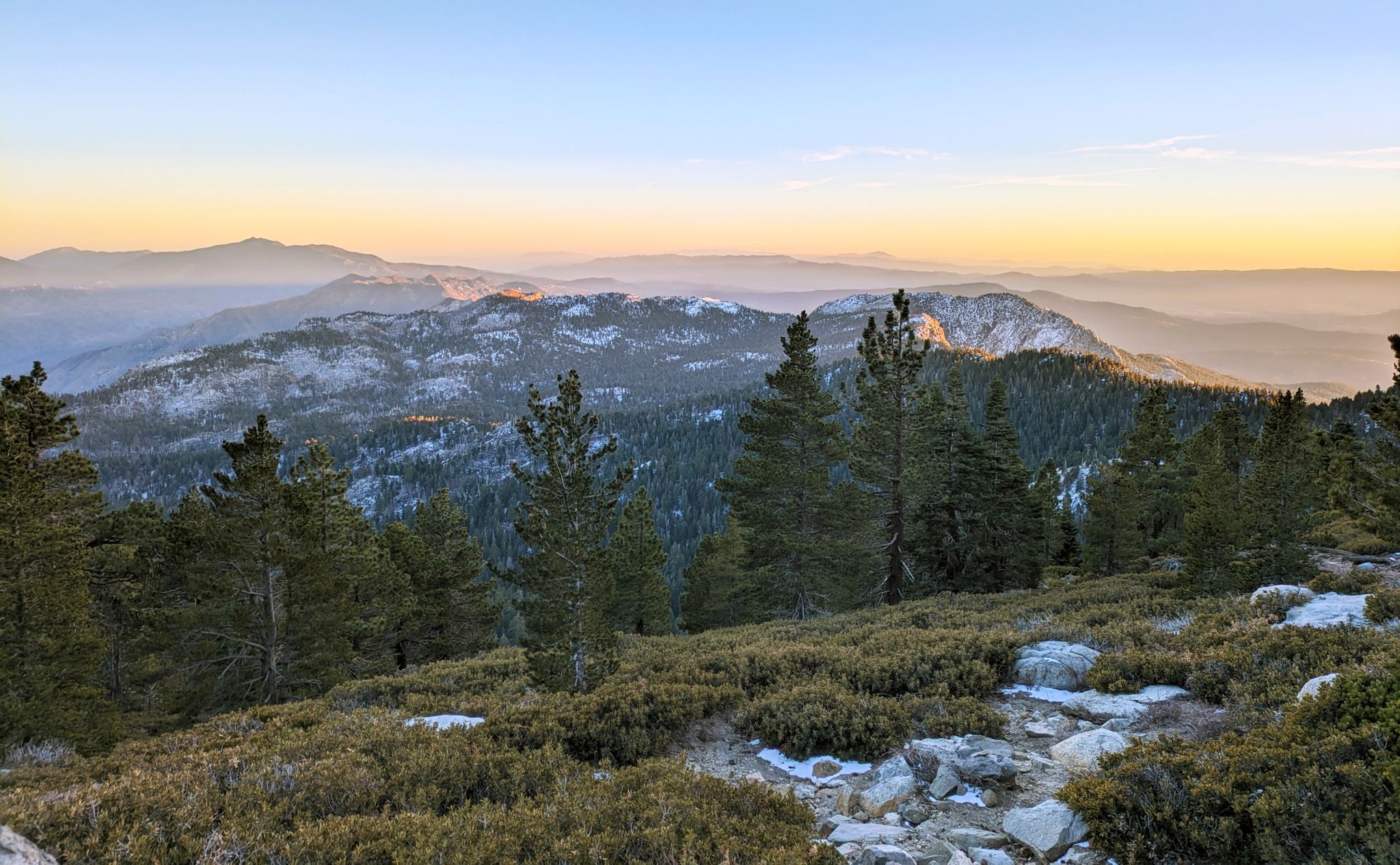
Climbing Mount San Jacinto on the Deer Springs Trail
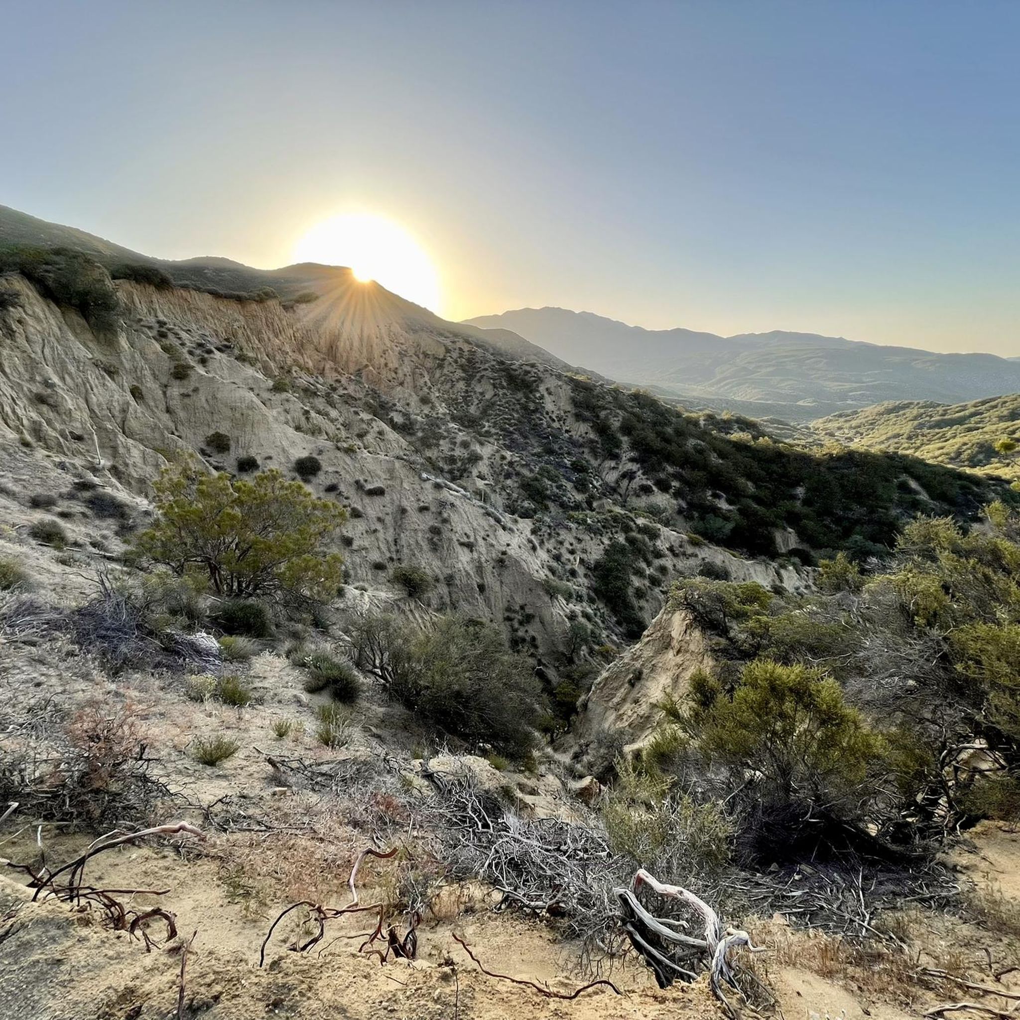
Hiking in San Bernardino National Forest
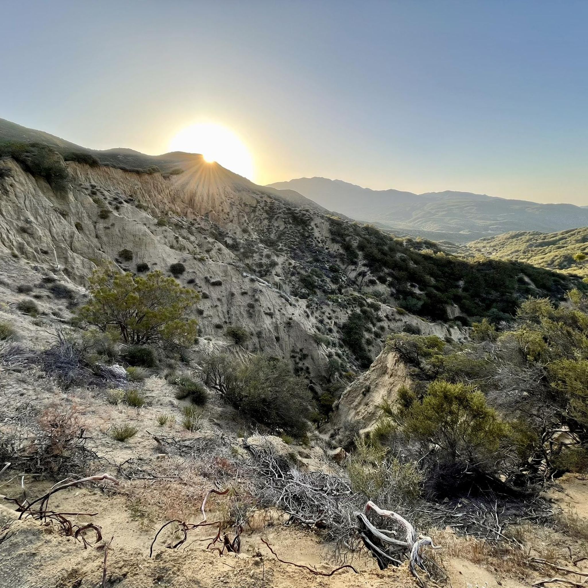
MTB Trails in San Bernardino National Forest
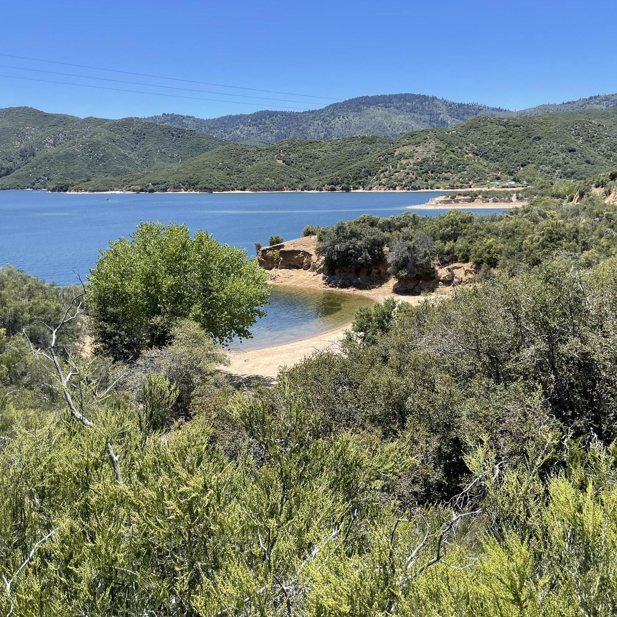
Running Trails in San Bernardino National Forest
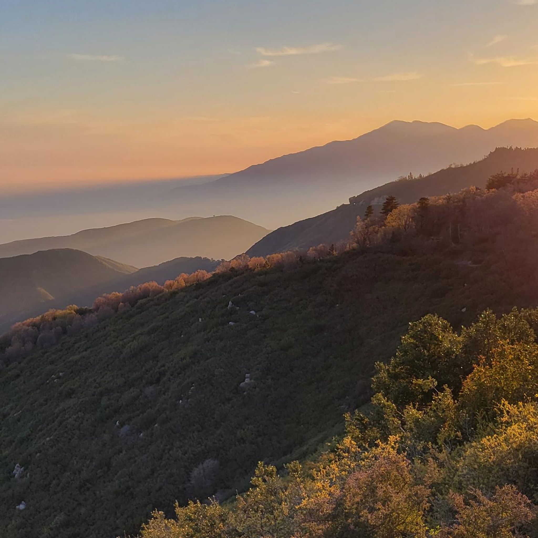
Road Cycling Routes in San Bernardino National Forest
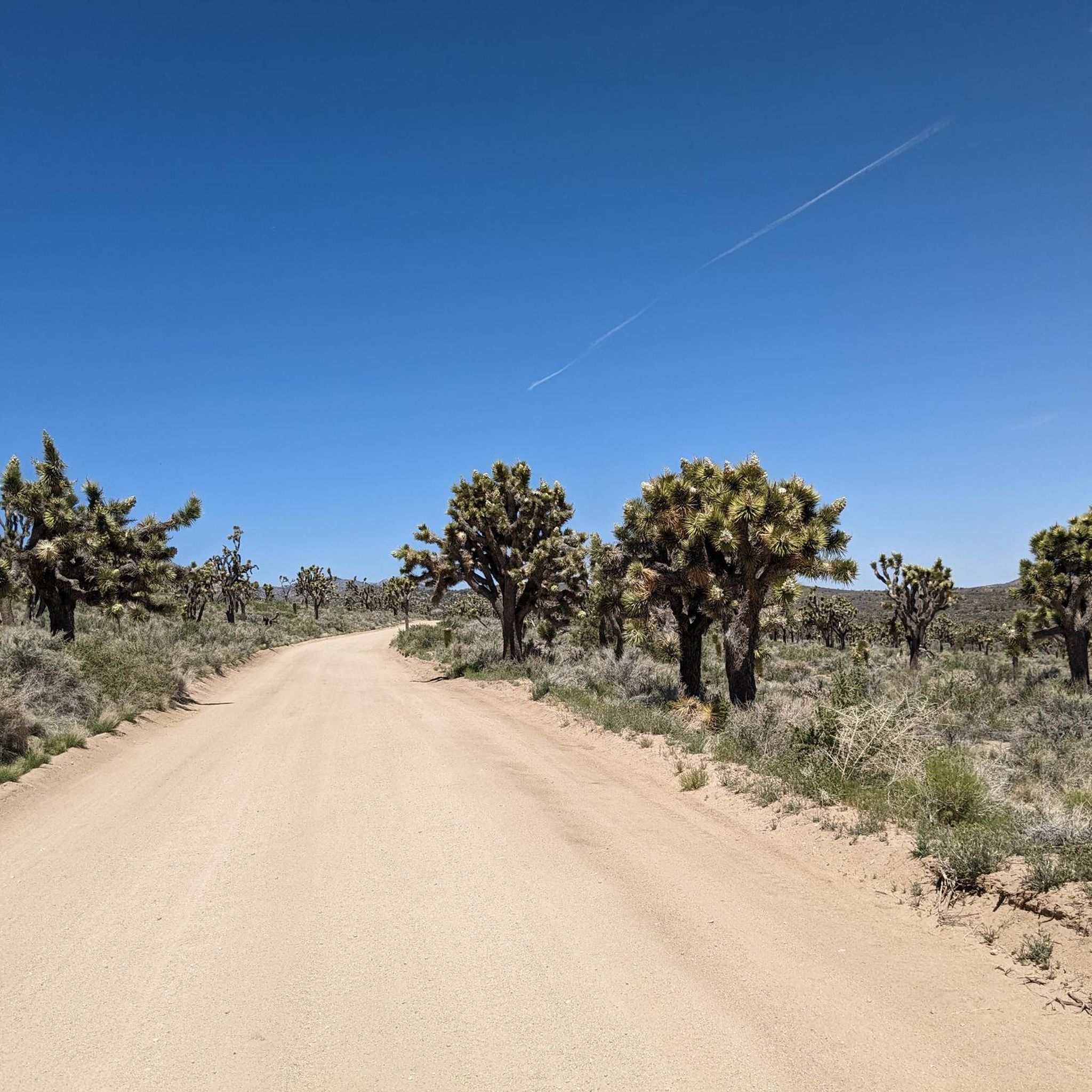
Cycling in San Bernardino National Forest
Other adventures in San Bernardino National Forest


Tips from the Community

Since 2020, Palm Canyon Trail—a multi-use trail—has seen a significant increase in users: hikers, equestrian and mountain bikers, including eBikes. Most of the trail crosses BLM and US Forest Service land. The Trail crosses private land as well as land owned by Agua Caliente. The properties the Tribe recently received as ancestral land back donations were offered to the Tribe. As a property owner with the right to regulate access to its land, the Agua Caliente chose to improve a portion of Palm Canyon Trail that is on its land—not federal land. The Tribe conducted trail maintenance work within its own property in the Indian Canyons for emergency access, security and safety for our hikers and other lawful users of the Trail. Why did it do this? Because it values its lands and prioritizes proper management of it. Unfortunately, one entitled business owner, [Dave Wood, owner of Bikes and Brews -tgk] who is unhappy over the fact that mountain biking and e-mountain biking is not allowed in this area is acting out by spreading false information, which is unnecessarily causing confusion in the community. His false narrative insultingly prioritizes his desire to financially profit from trespassing on Tribal lands, over the Tribe’s right to protect its property and its cultural resources. Tribal employees are now receiving “anonymous” threats promising more property destruction if tribal staff attempts to interfere with this illegal activity, which generates profits by organizing trail rides for groups of bikers who (unknowingly) trespass on a trail where that activity is not permitted. The Tribe has never permitted mountain biking on its land. The land acquired as land back donations is now Tribal land and consistent with our policy, mountain biking and eBikes are prohibited. Anyone on a mountain or eBike accessing the land is in trespass of Tribal lands. Trespassing on, and damaging, the property of another is never ok. We ask this business owner to ride his bicycle somewhere else where this activity is permitted.
0
0
The Palm Canyon Epic Trail is now closed to mountain biking. In April and June 2024 several landowners of wilderness areas donated their land to the Agua Caliente Band of Cahuilla Indicans (ACBCI). The donated lands included important parts of the Palm Canyon Epic Trail. As part of ACBCI policy on land use, mountain bike travel is prohibited on these lands. Recently Margaret Park-Robinson, Chief Planning Officer of ACBCI released a statement concerning the closure of the PCE. She can be reached at 760-883-1326 or email: mpark@aguacaliente-nsn.gov I append the full statement to this comment. Tom Kohn ACBCI Statement on the PCE closure Since time immemorial, Agua Caliente and other Cahuilla have lived within the lands of the National Monument, including Palm Canyon. Since time immemorial, the Palm Canyon Trail has been a significant cultural and historical pathway for Cahuilla people. Since 2000, the National Monument was established despite concerns by Agua Caliente. The legislation directs the federal agencies (BLM & USFS) to consult with Agua Caliente. Since 2008, Palm Canyon and the portion of the trail was designated as a federal Wild & Scenic River by the US Forest Service despite concerns by Agua Caliente. continues in a following post...
0
0

With 10,883 feet, Mount San Jacinto is the highest peak in the San Jacinto Mountains. There is a network of hiking trails around the summit and the San Jacinto State Park itself. If the weather turns for the worst, you can find shelter in a little hut close to the summit. You can either take a hike from Idyllwild on the west side of the mountain or Palm Springs on the east side. There is also an aerial tramway you can use to get into the San Jacinto Wilderness. If you feel adventurous, you can cross the mountain range using the Pacific Crest Trail.
0
0

This structure sits on Tahquitz Peak, at an elevation of 8,846 feet. The fire lookout was built in 1937, and is the highest lookout tower in the San Bernardino National Forest. It is maned by volunteers!
0
0

This trail is suberb! Palm Canyon Trail is a true backcountry experience for experienced mountain bike riders. I recommend riding this trail between November and March when temperatures are still a bit cooler. Bring lots of water and don't forget to pack spare tubes.
1
0
Tahquitz Peak is a great hiking destination with picture postcard views to the southeast and the Salton Sea. It got its name from a Native American legend saying that a demon wanted to possess the area. When the demon was killed, the spirit escaped and is now living in a cave in the San Jacinto Wilderness. San Bernadino National Forest operates the seasonal fire lookout at the summit of Tahquitz Peak which is mainly staffed by volunteers and is also the highest within the National Forest. The trail up to the mountain can be very dangerous in winter conditions, so bring proper gear. You need to obtain a free of charge wilderness permit from the Ranger Station in Idyllwild or call (909) 382-2921.
5
0
Close to the suburbs of Los Angeles, the hike to Etiwanda Falls is short enough for a stroll, but takes away the stress of the big city. Especially on a hot day you will enjoy the shady canyon with the cool water besides the beautiful scenery. You can park your car at the North Etiwanda Preserve Parking Lot which is also the trailhead. The park opens at 6.30 a.m.
1
0
With 10,883 feet Mount San Jacinto is the highest peak in the San Jacinto Mountains. There is a network of hiking trails around the summit and the San Jacinto State Park itself. If the weather turns for the worst, you can find shelter in a little hut close to the summit. You can either take a hike from Idyllwild on the west side of the mountain or Palm Springs on the east side. There is also an aerial tramway you can use to get into the San Jacinto Wilderness. If you feel adventurous, you can cross the mountain range using the Pacific Crest Trail.
7
2
Frequently Asked Questions
What are some of the most prominent natural features in San Bernardino National Forest?
The San Bernardino National Forest is home to diverse natural features, ranging from towering peaks to unique geological formations and significant wilderness areas. Notable examples include the vast San Jacinto Wilderness, the highest peak in Southern California, Mount San Gorgonio, and several impressive waterfalls like Big Falls and Bonita Falls. You can also find unique sag ponds formed by the San Andreas Fault, such as Lost Lake.
Where can I experience diverse ecosystems within the San Bernardino National Forest?
For a remarkable range of ecosystems, visit the Sand to Snow National Monument. This area stretches from the Sonoran Desert floor to over 10,000 feet in elevation, encompassing desert cactus, critical wildlife corridors, and alpine tundra. It offers a striking diversity of landscapes and rich biological diversity.
Are there any significant waterfalls to visit in the area?
Yes, the San Bernardino National Forest features several impressive waterfalls. Big Falls is one of Southern California's tallest, cascading approximately 500 feet. Another notable waterfall is Bonita Falls, with a dramatic drop of over 90 feet. Additionally, Etiwanda Falls offers a short hike through a shady canyon to cool waters.
What is the highest point in Southern California located within the forest?
Mount San Gorgonio, affectionately known as "Old Grayback," stands at 11,503 feet and is the highest peak in Southern California. Its summit rises significantly above the tree line, offering extensive views and a challenging yet rewarding hiking experience.
Are there unique geological formations to explore?
Yes, the region offers fascinating geological features. Lost Lake, for example, is a unique "sag pond" formed directly by the notorious San Andreas Fault and fed by deep natural springs. This geological origin makes it a quiet natural monument worth experiencing.
What kind of hiking experiences can I find among the natural monuments?
The San Bernardino National Forest provides a wide range of hiking experiences. You can find challenging ascents to peaks like Mount San Gorgonio and San Jacinto Peak, which offer extensive views. There are also easier trails, such as the hike to Big Falls or Bonita Falls, which are accessible for casual hikers. The Sand to Snow National Monument also includes 30 miles of the Pacific Crest Trail for long-distance trekking.
Are there any easy hikes suitable for families?
Yes, several natural monuments offer family-friendly hiking options. The hike to Etiwanda Falls is short and enjoyable, leading through a shady canyon. The Bonita Falls Trail is also popular and relatively easy, making it accessible for families. For more options, you can explore easy hikes in San Bernardino National Forest.
What outdoor activities are available near these natural monuments besides hiking?
Beyond hiking, the San Bernardino National Forest offers various outdoor activities. Silverwood Lake State Recreation Area is a hub for boating, fishing, swimming, and additional hiking on its 13 miles of trails. In winter, areas like Sand to Snow National Monument offer cross-country skiing. For cycling enthusiasts, there are numerous routes available, which you can find in the cycling guide for San Bernardino National Forest.
When is the best time to visit the natural monuments in San Bernardino National Forest?
The best time to visit depends on the specific monument and activity. Waterfalls like Big Falls and Bonita Falls are most impressive during spring due to snowmelt. Silverwood Lake is a popular year-round destination. For high-elevation peaks like Mount San Gorgonio, summer and early fall offer the most favorable conditions for hiking, while winter brings opportunities for snow sports in designated areas. Always check conditions before you go, especially for higher elevations.
Are permits required for visiting certain natural monuments or trails?
Yes, permits may be required for certain areas, especially for wilderness access or overnight stays. For instance, a free wilderness permit is needed for San Jacinto Wilderness, which can be obtained from the Ranger Station in Idyllwild or by calling (909) 382-2921. Always check specific requirements for your chosen destination within the San Bernardino National Forest.
What historical or cultural significance do these natural monuments hold?
Many natural monuments in the San Bernardino National Forest have historical and cultural significance. The Sand to Snow National Monument, for example, holds stories of ancient peoples. Mount San Gorgonio, nicknamed "Old Grayback," is historically significant as Southern California's highest peak. Tahquitz Peak is tied to a Native American legend and hosts a historic fire lookout, the highest in the San Bernardino National Forest. You can learn more about Mount San Gorgonio's history at sbcounty.gov.
What do visitors enjoy most about the natural monuments in San Bernardino National Forest?
Visitors frequently appreciate the stunning panoramic views from peaks like San Jacinto Peak and Tahquitz Peak, which can extend to the Salton Sea. The serene retreat offered by waterfalls like Big Falls and the unique geological insights from places like Lost Lake are also highly valued. The opportunity for diverse outdoor activities, from challenging hikes to family-friendly strolls, and the rich biodiversity across varied ecosystems, contribute to a memorable experience.
Most popular routes in San Bernardino National Forest
Most popular attractions in San Bernardino National Forest

Get inspired with the komoot mobile app


Explore more
Extend your search for the best caves by checking out these guides of the top ones in San Bernardino National Forest:
