Top 10 Natural Monuments in McCreary County
Best natural monuments in McCreary County include a variety of natural arches, waterfalls, and scenic gorges. This region, located in Kentucky, features diverse landscapes within areas like the Big South Fork National River and Recreation Area and Cumberland Falls State Resort Park. The geology of McCreary County provides numerous sandstone bluffs and unique rock formations. These natural features offer opportunities for outdoor exploration and appreciation of the Appalachian environment.
Best natural monuments in McCreary County
- The most popular natural monuments…
Last updated: June 24, 2026
Cumberland Falls
Highlight • Waterfall
Tip by

Eagle Falls
Highlight • Waterfall
Tip by
Sign up now to discover places like this
Get recommendations on the best single tracks, peaks, & plenty of other exciting outdoor places.
Sign up for free
Devils Jump
Highlight • River
Tip by

Cumberland Falls State Park
Highlight • Waterfall
Tip by

Big South Fork National River and Recreation Area
Highlight • River
Tip by

Cracks in the Rock
Highlight • Cave
Tip by
Cave
Highlight • Natural Monument
Translated by Google •
Tip by

Yahoo Falls
Highlight • Waterfall
Tip by
View of Devils Jump Rapids
Highlight • Viewpoint
Tip by
Start today with a free account
Your next adventure awaits.
Login or Signup


Tips from the Community

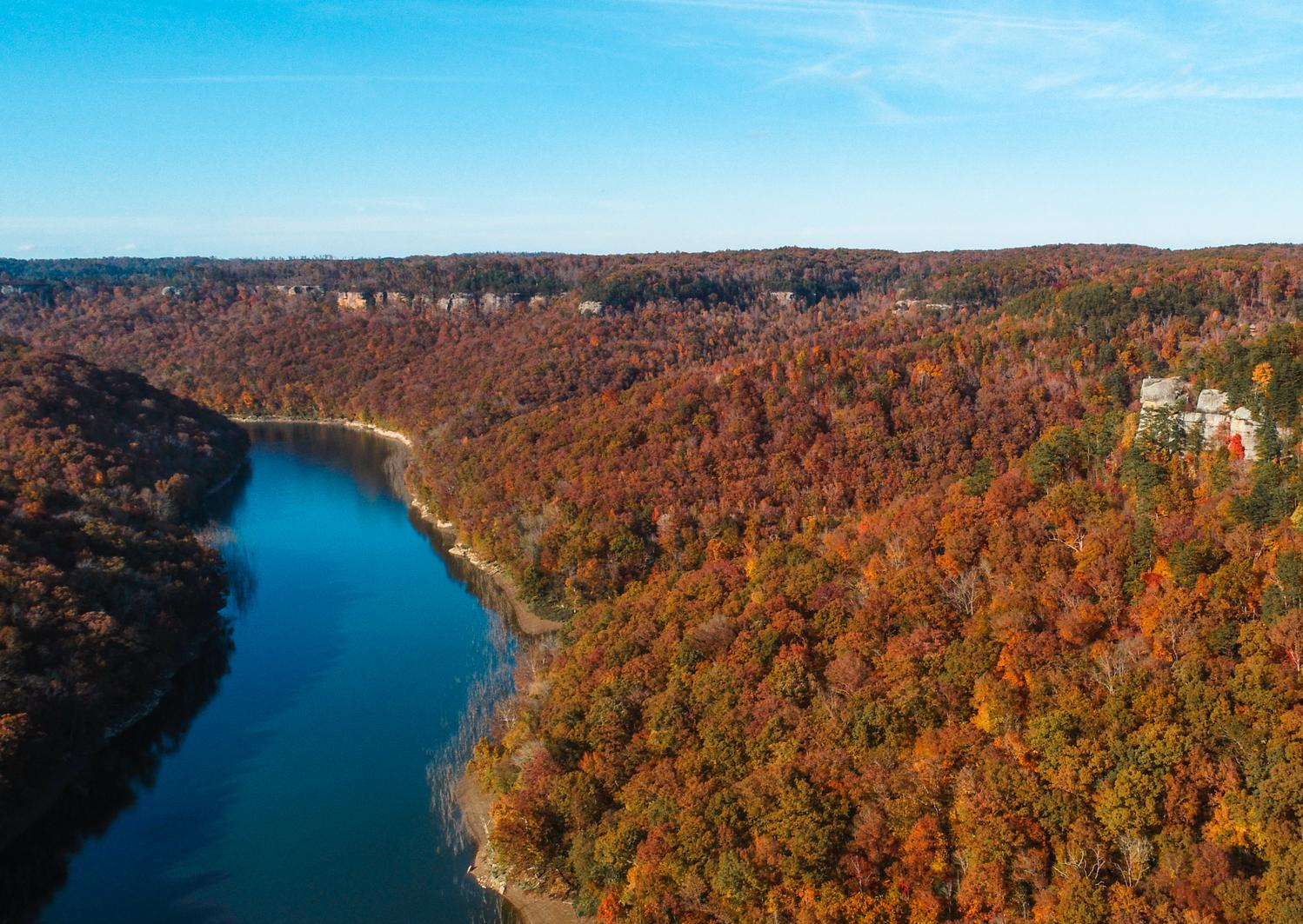
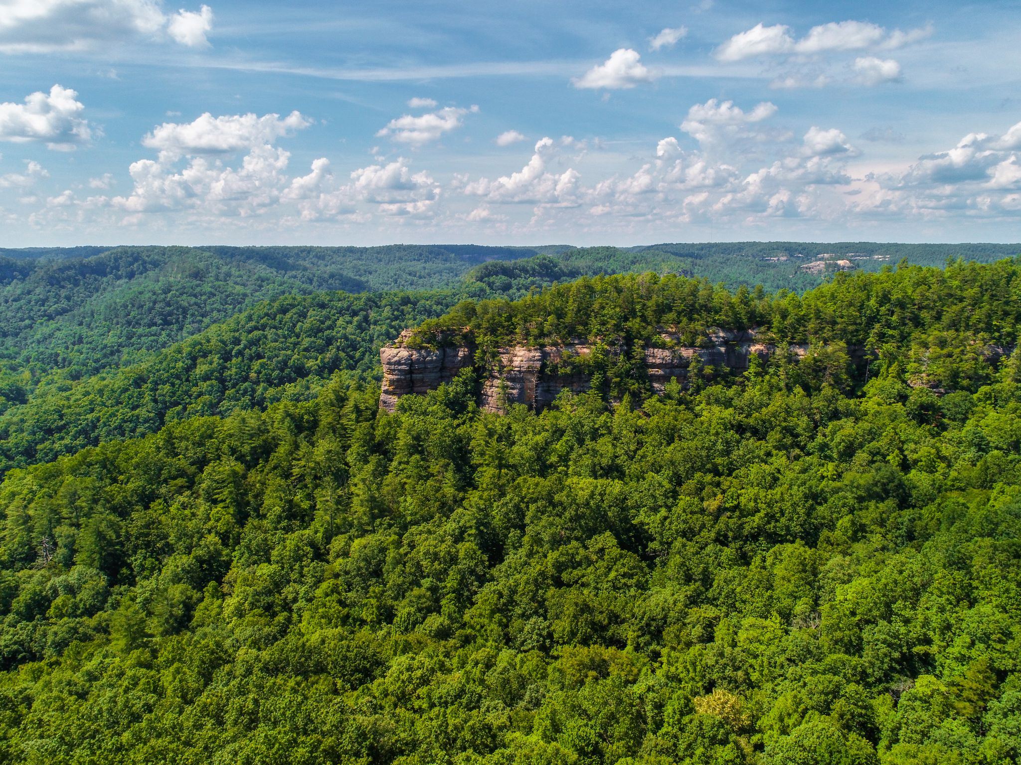
Straddling the border of Tennessee and Kentucky, Big South Fork National River and Recreation Area offers rugged gorges, scenic rivers, and one of the highest concentrations of natural bridges in the Eastern United States. Visitors can hike, paddle, or ride through sandstone bluffs and forested trails while exploring remnants of former logging and mining communities like Blue Heron and No Business. The area’s rich natural and cultural history is preserved through interpretive signage, and adventurous travelers can even stay at the remote, trail-accessible Charit Creek Lodge.
0
0

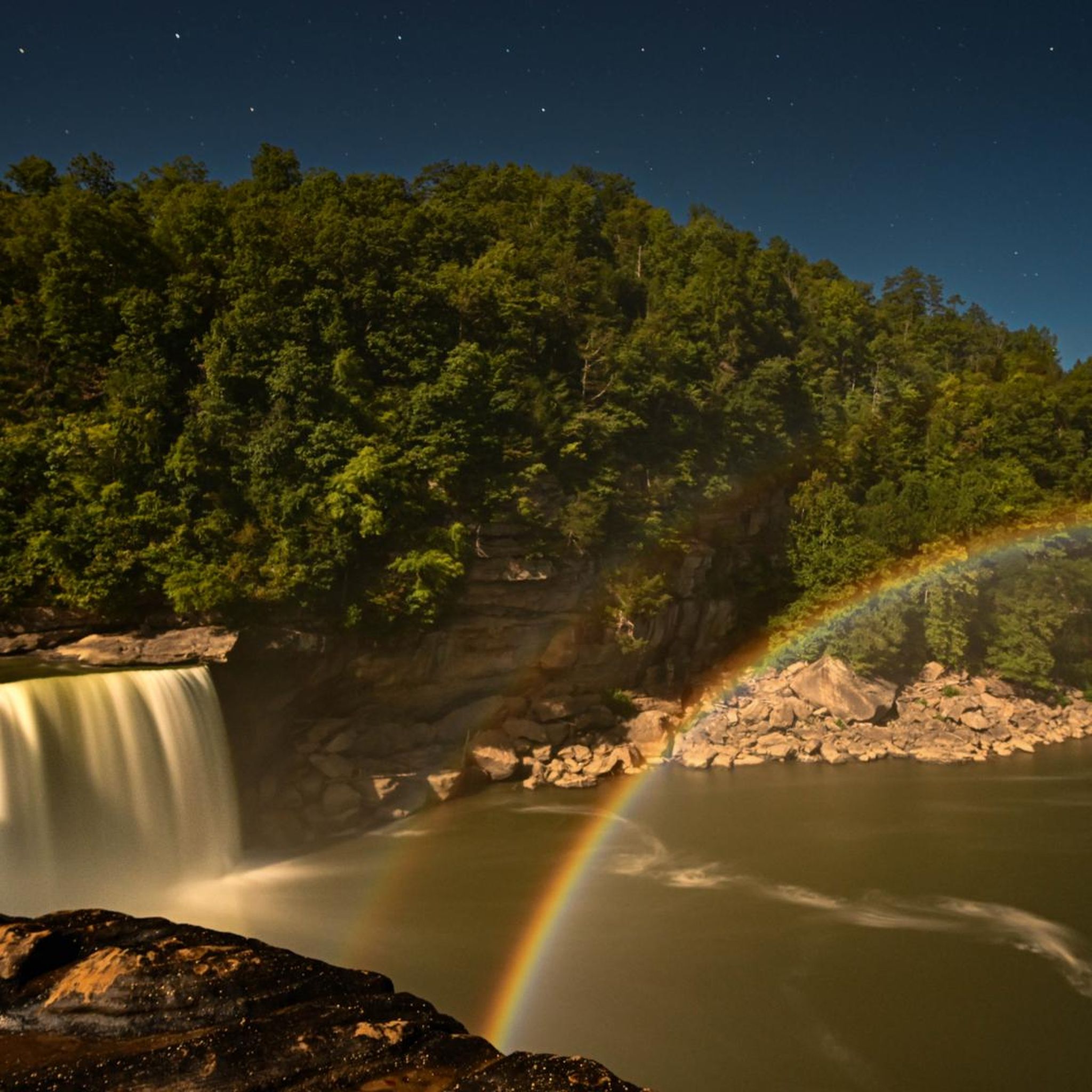
Known as the “Niagara of the South,” Cumberland Falls is a must-see with its powerful 70-foot drop. The state park also features other waterfalls like Eagle Falls, and during a full moon, it's one of the few places in the world where you can witness a rare moonbow. Easy trails lead to great viewpoints, and the surrounding park offers plenty of quiet spots by the river. Best visited after heavy rain for peak flow. Cumberland Falls Campground is a solid choice for camping, with prices starting at $22 per night. Other campground options are also available nearby if you prefer something different.
0
0

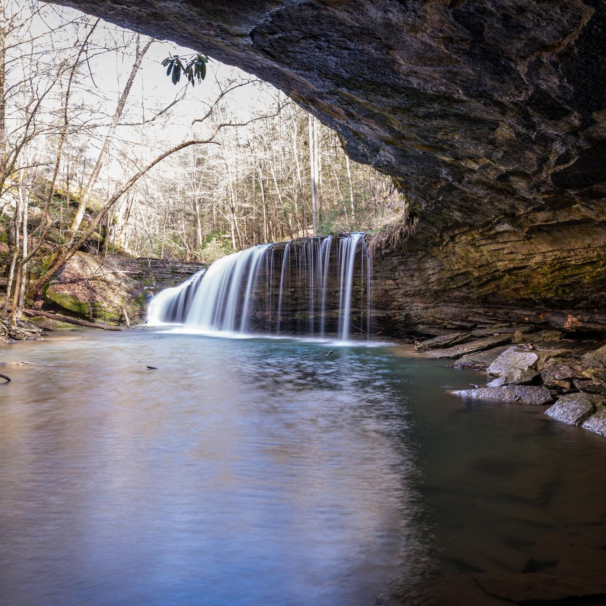
Be careful, depending on the weather, it can be very slippery inside the rock arch! However, it is worth taking a look at the chimney at the back left of this special rock arch.
0
0

Yahoo Falls is said to be the highest waterfall in Kentucky. If you are in the area it is definitely worth running here as you can get right up to, and behind it. For the best experience, a visit during the spring is recommended while there is plenty of water flowing.
0
0
Cracks in the Rock is exactly what it suggests, a crack that allows you to enter the sandstone rock. A series of steps and platforms allow you to explore the passages, a really fun and unique part of the Blue Heron Trail.
0
0
You can run to the Devils Jump Overlook from Blue Heron or just to the northwest from the Gorge Overlook Car Park. The former is a longer, hillier trail whereas the latter is a paved path of around 0.3 miles. It is a stunning viewpoint over the Devils Jump, a set of rapids on the Cumberland River South Fork. You will also find some shade and bench seating, the perfect place for a snack break.
0
0
Devils Jump was the name given to the rapids in the early 19th century. When drilling a well nearby to look for salt water, one of the holes was so deep that it went into oil. Never having seen it before, the drillers were convinced they had drilled into hell. They sent a raftsman down river to try and identify what it was. He was tossed out of the raft by the rapids and on his return claimed that the Devil had jumped from a large rock, sunk the raft and stole his property.
0
0
Yahoo Falls is said to be the highest waterfall in Kentucky. If you are in the area it is definitely worth hiking here as you can get right up to, and walk behind it. For the best experience, a visit in the spring is recommended while there is plenty of water flowing.
0
0
Frequently Asked Questions
What types of natural monuments can I expect to see in McCreary County?
McCreary County is renowned for its diverse natural monuments, primarily featuring impressive natural arches, spectacular waterfalls, and scenic river gorges. You'll find a high concentration of natural bridges, unique rock formations, and sandstone bluffs, especially within the Big South Fork National River and Recreation Area.
What are some of the most popular natural monuments in McCreary County?
Beyond the well-known Cumberland Falls and Yahoo Falls, visitors frequently enjoy the Eagle Falls, which offers a sense of isolation despite its accessibility. The Big South Fork National River and Recreation Area itself is a popular destination, known for its rugged gorges and numerous natural bridges. Additionally, the Natural Arch Recreation Area, though not a specific highlight in our data, is a very popular and accessible spot for its impressive arch.
Are there any unique natural phenomena to witness in McCreary County?
Yes, McCreary County is home to the unique phenomenon of the moonbow at Cumberland Falls. This lunar rainbow is visible on clear nights during a full moon, making it one of the only places in the Western Hemisphere where this occurs. It's a truly magical and unforgettable experience.
Are there family-friendly natural monuments in McCreary County?
Absolutely. The Natural Arch Recreation Area is particularly family-friendly, offering a concrete trail system, picnic sites, a playground, and an amphitheater. Cumberland Falls is also considered family-friendly, with accessible viewpoints. For a scenic overlook that's easy for all ages, consider the View of Devils Jump Rapids.
What is the best time to visit McCreary County's natural monuments?
The spring season is often recommended for visiting the waterfalls, as the water volume is typically at its best, offering spectacular displays at places like Yahoo Falls. Autumn is also beautiful, especially for places like Eagle Falls, with vibrant fall foliage. Generally, spring and fall offer pleasant hiking temperatures.
What outdoor activities can I do near these natural monuments?
The region offers a wide range of outdoor activities. Hiking is very popular, with trails leading to waterfalls and arches. You can explore various routes, including easy walks like the Van Hook Falls and Cane Creek Valley trail, or more challenging options like the Sheltowee Trace NRT Section 27. For more ideas, check out our guides on Waterfall hikes in McCreary County, Easy hikes in McCreary County, and Hiking in McCreary County.
Are there any natural monuments with unique geological features?
Yes, McCreary County is rich in unique geological features. The Big South Fork National River and Recreation Area is known for its high concentration of natural bridges, water-eroded arches, and rare hoodoos. You can also find interesting formations like the Cracks in the Rock, which is a notable cave and natural monument.
Can I hike behind any of the waterfalls?
Yes, at Yahoo Falls, which is the highest waterfall in Kentucky, visitors can hike to its base and even walk behind the cascading water. This offers a unique perspective and a memorable experience.
What do visitors enjoy most about the natural monuments in McCreary County?
Visitors frequently praise the serene beauty and the sense of isolation found even near popular trails, as highlighted by Eagle Falls. The sheer power and beauty of Cumberland Falls, especially the rare moonbow, are also highly cherished. The opportunity to explore diverse landscapes, unique geological formations, and abundant outdoor recreation options is a major draw.
Are there any permits required for hiking or visiting natural monuments in McCreary County?
Generally, permits are not required for day hiking in most areas of McCreary County's natural monuments, including within the Big South Fork National River and Recreation Area or Daniel Boone National Forest. However, it's always a good idea to check with the specific park or forest service for any updated regulations, especially for activities like backcountry camping or specific events.
Are the trails to the natural monuments dog-friendly?
Many trails in McCreary County's natural areas, including parts of the Big South Fork National River and Recreation Area and Daniel Boone National Forest, are dog-friendly, typically requiring dogs to be on a leash. However, specific rules can vary by location and trail, so it's best to check individual trail guidelines before your visit to ensure a pleasant experience for you and your pet.
Most popular attractions in McCreary County

Get inspired with the komoot mobile app


Didn’t find what you were looking for?
Find even more amazing natural monuments in McCreary County by checking out the top Highlights region by region:
Explore more
Extend your search for the best caves by checking out these guides of the top ones in McCreary County:
